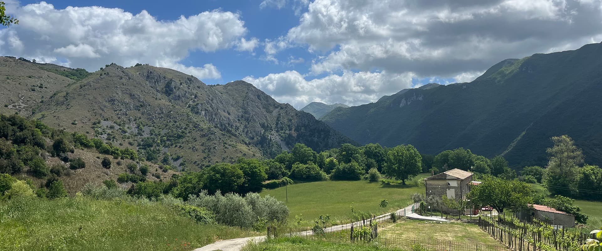
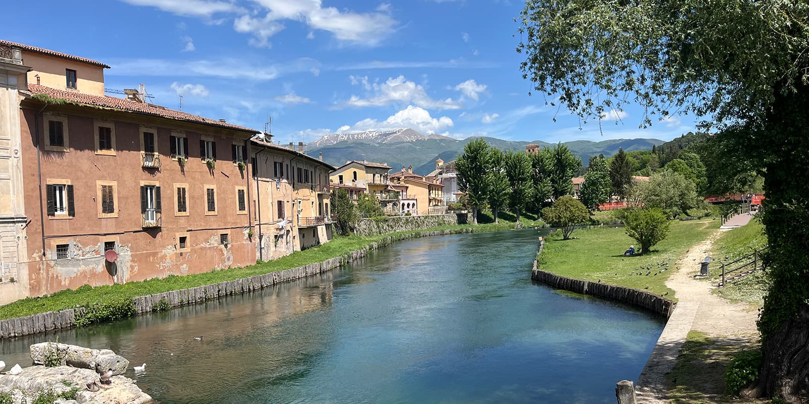
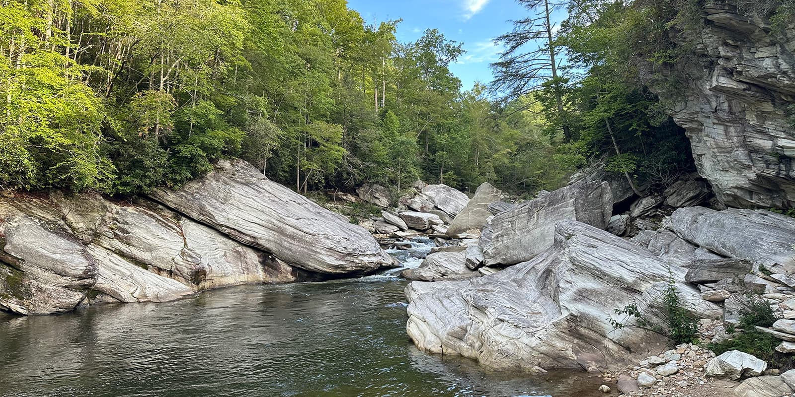
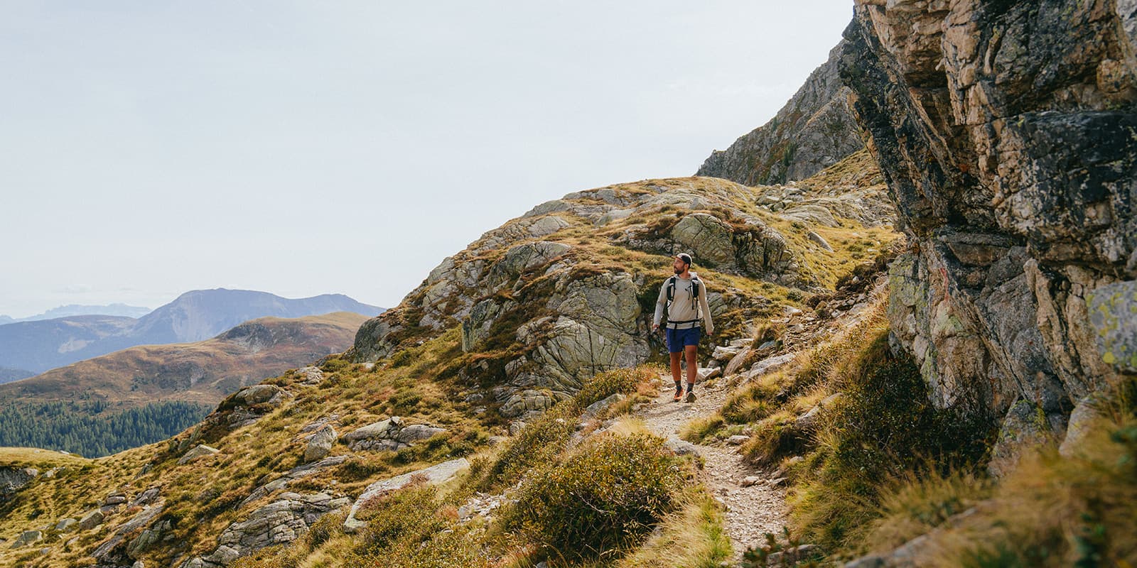
The path is away from the main tourist routes and mostly leads across mountainous and hilly areas, often in shady woodland. It winds 305 kilometres across the Apennine Mountains between 400 and 1000 metres high and is a mix of nature and culture, passing through small villages. On the way, you will come across villages perched on hilltops that are still being reconstructed after the 2016 earthquake, jasmine hedges, olive orchards, and award-winning gelato. Lodgings include beautiful monasteries, convents, and hermitages.
You start your hike in Norcia, Benedict’s birthplace in the Sibillini Mountains, at the foot of the statue of Saint Benedict in the main square. The village is still being rebuilt after the 2016 earthquake. Before you leave, pick up your pilgrim’s passport at D’Angelisa Bar and Bistro.
From Norcia, the trail leads to Cascia on the first stage, the home of Saint Rita. It is a largely wooded path, and you can visit the colourful Basilica of Saint Rita when you arrive. The route merges for a while with the Saint Rita’s Path, partly carved into rock along the Corno river. The next day, it then continues from Saint Rita around the mountain to Roccaporene, a tourist trap for followers of Saint Rita. You’ll also get to go up to the prettily renovated village of Monteleone di Spoleto.
Stage three is quite flat, as the path goes through villages into the province of Lazio at Leonessa at the foot of the Reatini mountains and follows the Corno river for a while. But the flatness is good for resting, because the next day you’ll reach the trail’s highest point at 1500 metres. This more challenging stage goes across the Reatini mountain range through beech forest to Poggio Bustone, overlooking the Valle Santa.
Stage five descends gently through to Cantalice, where you climb up through the village which clings to the mountainside. The path then descends into Rieti, a larger town situated at the bottom of the Valle Santa. The following day’s path is an easy one which, near the end, climbs to the fortress town of Rocca Sinibalda, with amazing views.
From there, you walk along the River Turano in the valley and then along the shore of Lake Turano to a pretty and medieval castle: Castel di Tora. Stage eight is a steep climb over a pass. It’s a challenging stage with breathtaking views over the lake and countryside, through the charming village of Pozzaglia Sabina to Orvinio. But the climbs don’t stop there. The next day is also a challenging hike, where you will reach 970 metres. The tail crosses through the domain of golden eagles in the Lucretili park and has distant views of Mounts Ruffi and Simbruini.