About the Zugspitze

Alps
country
Germany, Austria
length
11 km(7 mi)
Type of trail
Day hike
difficulty

Difficulty is highly personal. Be aware of the weather conditions as bad weather turns easier trails in difficult trails especially in the mountains.

Difficult
accommodation

Lodging means a mix of hotels, hostels or AirBnB’s.

Lodging
Elevation gain
1800 m(5906 ft)
terrain
Mountains
remoteness
None of the time
Show more

The Gatterl tour is one of the easier tours up the Zugspitze. Of course, it should not be forgotten that we are still in high alpine terrain here. There are no challenging climbing passages on this route. However, there are 1,800 meters of altitude difference to overcome and some scree and snow fields along the way.

Luckily in European fashion, two catered huts provide refreshments on the hike. This hiking route is recommended for hikers who prioritize nature and wonderful views rather than the sporting challenge. If you don’t want to walk it all, you can also take the glacier railway from the Zugspitzplatt to the summit. The paths are all well signposted. The highlight of the route is a very special border crossing.

Phillip Eilmer profile photo
Author

Philipp Eilmer

Philipp Eilmer was born in Austria, a country known for the breathtaking landscapes of the Alps and unspoiled nature. He thrives in the outdoors and his curiosity leads him to explore the wonders of nature by foot. He loves the untamed trails of North America and finds solace under the beauty of star-covered skies, whether sleeping in his tent or embracing the rugged simplicity of cowboy camping. You can follow Philipp on Instagram @phips_snowcat

View profile

The Trail

From the valley station of the Ehrwalder Almbahn cable car, you can hike to the mountain station via the track or the meadow path. The trail starts just above the station. You will pass the Ganghofer Hütte. Then simply follow the forest road to the Tirolerhaus / Berggasthof Ehrwalder Alm. If you don’t want to walk the ascent, this is where you can also take the cable car. Even if you come by train, you first follow a wide forest road towards Gaistal.

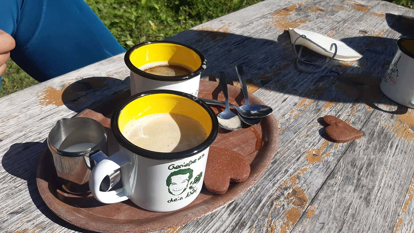
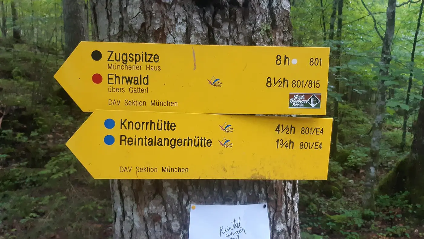
For the rest of the hike, you can simply follow the signs for “Knorrhütte” and “Gatterl.” It is a leisurely ascent that leads to a saddle. Shortly before the Pestkapelle chapel, the path leads left to the “Wettersteinwand” house past the ski slope. Through a strip of forest via the “Max-Klotz-Steig,” you reach the Hochfeldernalm where you can refresh yourself with a cool drink.

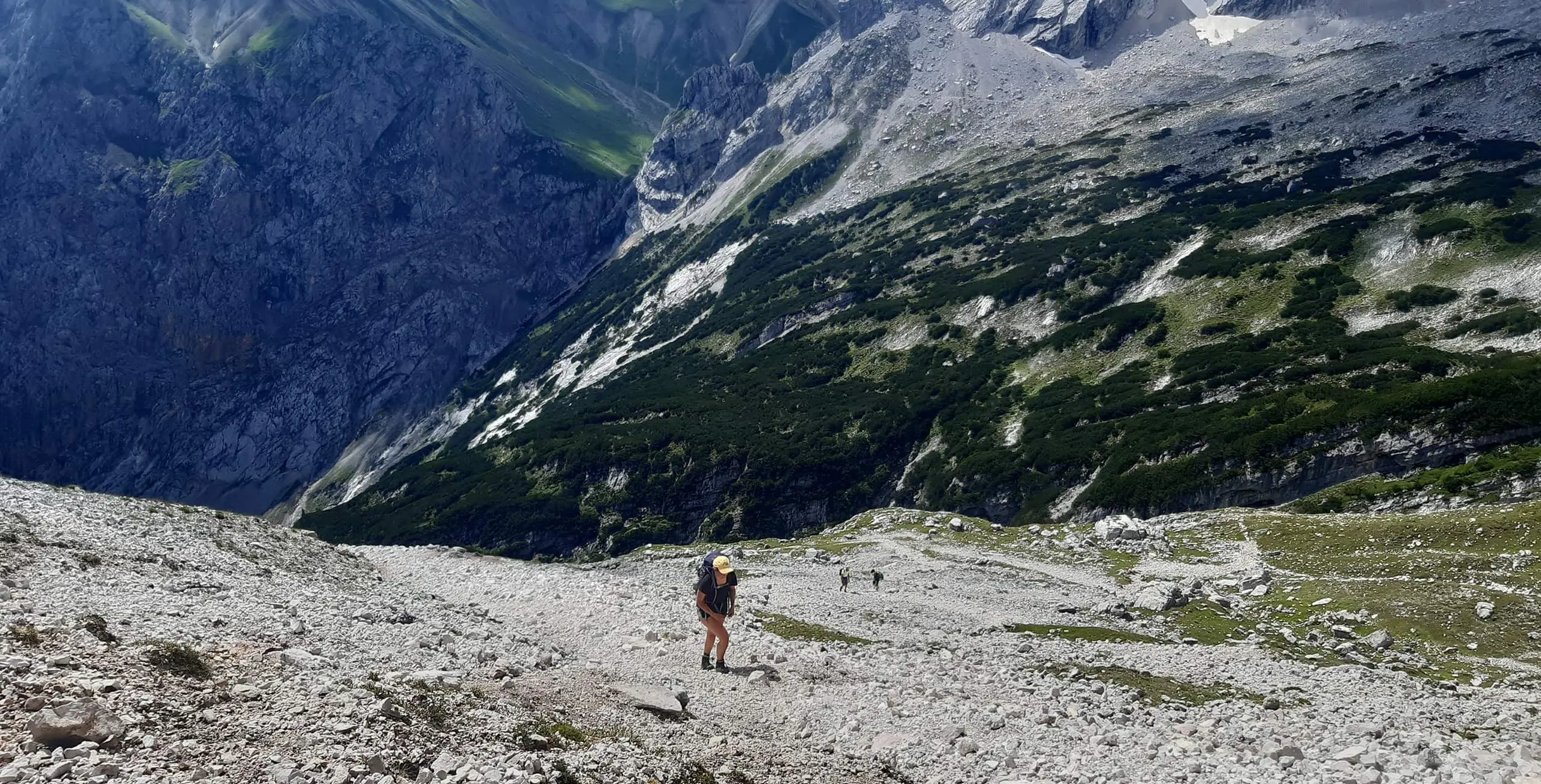
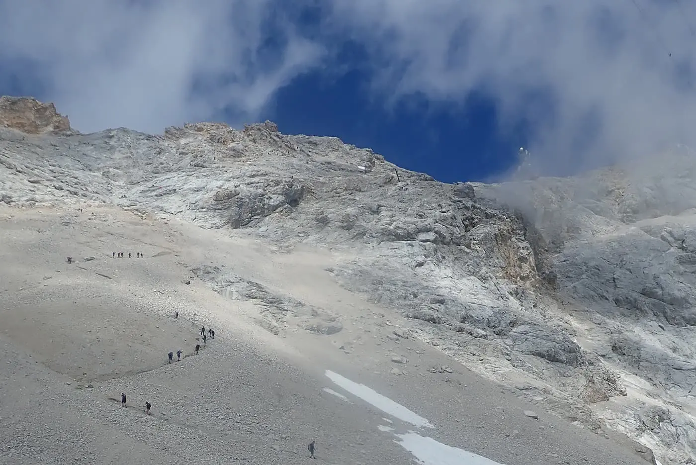
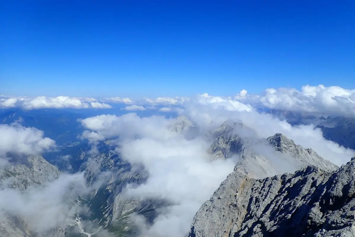
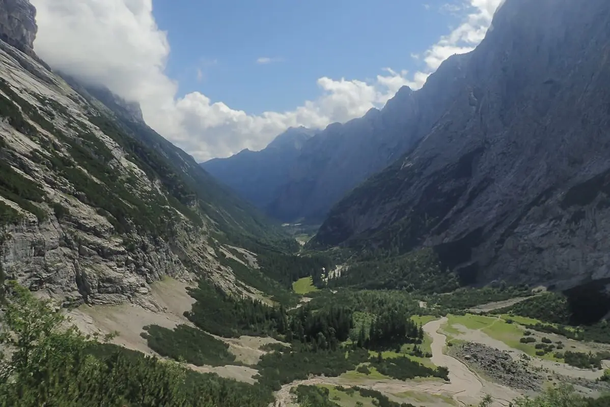
The pleasant smell of mountain pines accompanies you on the path through pastures to the 1st pass “Am Brand” (2,120 meters above sea level). The trail then descends slightly to Feldernjöchl (2,041 meters above sea level). Here between Feldernjöchl and Gatterl, a muddy patch can form on the slope after rainy weather. It is then helpful to have hiking poles with you. After a turn-off to the “Steinernen Hüttl”, the trail first descends slightly but then climbs steeply again. The path to the “Gatterl” is secured.

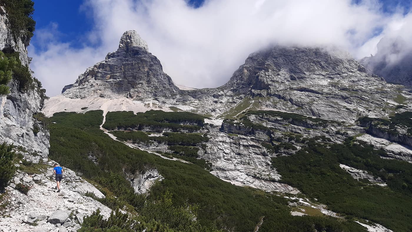
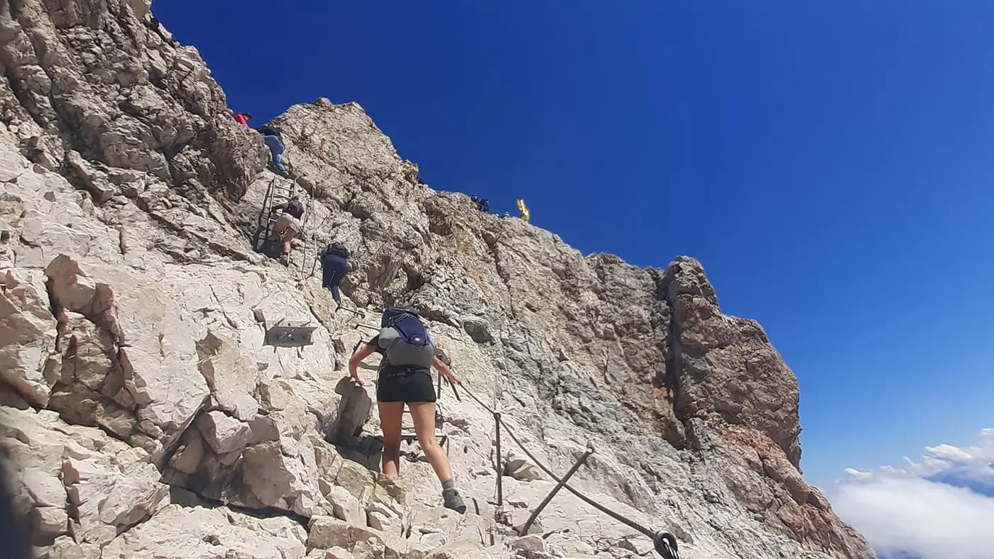
“Gatterl” is the name of the saddle in the German-Austrian border ridge. The saddle was given this name because of a squeaky pasture gate that stands directly on the border between Germany and Austria. It prevents the sheep grazing there in summer from crossing the border from Bavaria into Tyrol. However, the term “Gatterl” actually refers to a short climbing point located on the Tyrolean side behind the pasture gate. This offers a rocky gully that is secured with a wire rope. However, if you are sure-footed and have a head for heights, you should have no problem crossing this passage.

You have now left Austria and entered Germany.

Continue over scree and snowfields – past the Bavarian customs guard huts – to the serviced Knorrhütte hut. The landscape is already much rockier than down on the Reintalanger. Here you can mainly see the typical light-coloured rock of the Wetterstein mountains. The mountain pines become fewer and fewer as the altitude increases. After a few hairpin bends uphill after the Zugspitzplatt, the path turns off to the west. You are now getting closer to the Zugspitze ski area. In early summer, there may still be some firn fields to the left and right of the path. This invites you to have snowball fights or “ski down” on the snow. In this area, pole markings have been placed to help you find your way in the fog.

The trail leads past the Schneefernerhaus. It used to be the mountain railway station for the Bayerische Zugspitzbahn and was also a tourist hotel. Today it is only used as an environmental research station. The remaining railway tracks of the Zugspitzbahn are only used for operational purposes by the research station. You can take a short break here if the supplies in your rucksack have not yet been used up. This will give you the strength you need for the last, somewhat more difficult part of the route. A high level of concentration is required on the narrow scree paths.

Once you have reached the summit rock, the wire ropes that lead up to the southwest ridge begin. There is also a small via ferrata of around 100 meters to master here, but it is very easy and can be done without a safety harness. Now you’ve reached the Zugspitze!

In good weather, you now have a magnificent view of Garmisch-Partenkirchen. Isn’t that a nice reward for the effort so far? The last section from the Münchner Haus to the summit is also a short climb. There is still some climbing to do, but everything is well secured. And then all that’s left to do is enjoy the fantastic view!

Best time of the year

The best time of the year to hike up to the Zugspitze is June till September. In June there can still be some snow at the trails. Since you are in a mountain area you have to be prepared for quick weather changes, heavy rain, and sometimes snowfall. Be prepared for every condition. Check the local weather forecast before attempting the hike and make sure to have proper equipment.

Safety & Gear

Bring hiking boots with a good profile and good ankle support, several layers of clothing for changing temperatures, rain protection (also for the rucksack), and hiking poles as required. Additionally, pack sun protection and a first aid kit.

Stay updated on weather conditions in the area you plan to hike. Avoid starting your hike during severe weather events such as thunderstorms, heavy rain, or extreme heat, which could jeopardize your safety.

Hydration and nutrition are vital. Ensure you carry sufficient water—at least two liters—and energy-rich snacks to maintain your energy and prevent dehydration and exhaustion. You’ll also be able to get more at the huts along the way.

Familiarize yourself with the trail map and carry navigation tools such as a compass or GPX device to maintain your orientation and prevent getting lost.

Adhere to the principles of Leave No Trace to minimize your environmental impact. Stay on designated trails, pack out all trash, and show respect for wildlife and natural habitats.

Good to know

There are two cabins on the way to the summit where you can have drinks and snacks. From the top, you can take a cable car down and there is also a restaurant. There are many more possibilities to hike and climb the Zugspitze, this is only one of them.

Highest point
2943m (9656 ft)
Water resources
Huts along the way

Want to submit a trail or make this page more complete?

Comments

Be the first one to comment on this trail!

Reply to this trail

Your email address will not be published. Required fields are marked *

Reply to this trail

Log in to comment on this trail
Always read the disclaimer

Terms of Use: important to all visitors on this website. We strive to publish high quality content and information on this website. However it’s always possible that we’re missing out on some crucial information. In spite of the fact that this route, associated GPS track (GPX and maps) were prepared under diligent research by the specified contributor and/or contributors, the accuracy of such and judgement of the author is not guaranteed. Therefore, hiking-trails.com and contributors are in no way liable for personal injury, damage to personal property, or any other such situation that might happen to individuals hiking or following this route. Should you choose to hike this trail, this is always at your own risk. Check out our guidelines for safety hiking and Leave No Trace principles at the hiking 101 page.

Download GPX

Join the community!

Login or create a FREE account 😊

With an account you can:

Download GPX files

Pin trails to your wishlist

Mark trails as hiked by you

Rate hiking trails

Comment on trails, blogs and gear reviews

Happy trails!
Login

Don't have an account yet? Register here