About the Valposchiavo

Alps
country
Switzerland, Italy
length
38 km(24 mi)
Type of trail
Hut to hut, Long-distance
difficulty

Difficulty is highly personal. Be aware of the weather conditions as bad weather turns easier trails in difficult trails especially in the mountains.

Moderate
accommodation

Lodging means a mix of hotels, hostels or AirBnB’s.

Mountain huts
Elevation gain
2890 m(9482 ft)
terrain
Mountains, Forest, Hills
remoteness
Some of the time
Show more

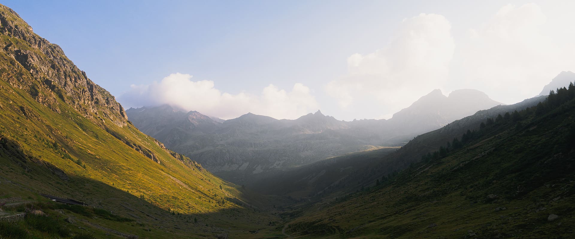
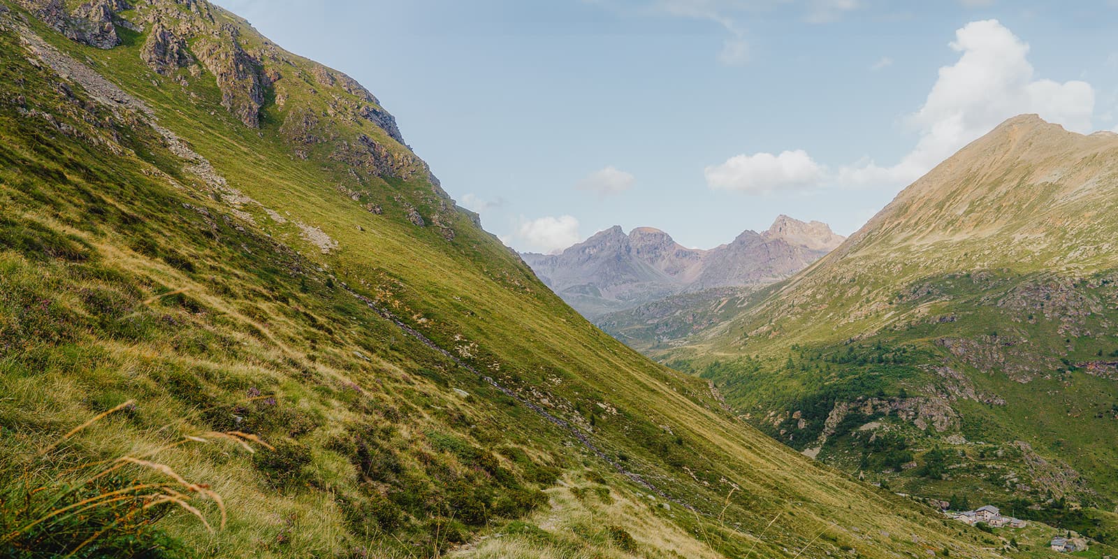
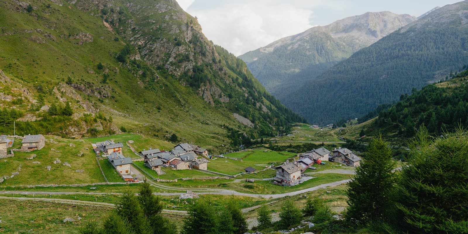
Valposchiavo, a valley that runs from the Bernina Pass to Tirano, offers a beautiful three-day hut-to-hut tour. The trail starts in Poschiavo, the beating heart of the valley. In this Italian-speaking part of Graubünden you hike through forests, along crystal clear mountain lakes and over challenging mountain paths. It’s a true Swiss hiking experience and a real hidden gem in the Alps.

Valposchiavo’s history is shaped by its position on ancient trade routes connecting Switzerland and Italy. The area is known for its rich cultural heritage and strong community, influenced by both Swiss and Italian traditions. This remote valley is an unique cultural blend and gives the area an authentic Alpine charm, rarely found elsewhere.

profile picture Joy Hadders
Author

Joy Hadders

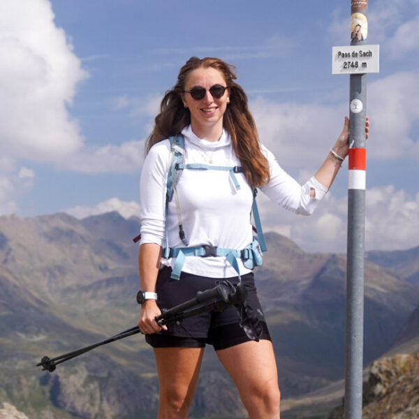
Joy Hadders is a Dutchie who takes full advantage of her free days off of work to experience as much as possible in other countries. Like many others, she found her way in hiking during the lockdown and now she’s also hooked! She enjoys discovering hidden gems with her boyfriend and dreams of a fully pinned world map. You can follow Joy on Instagram @joyhadders.

View profile

The Trail

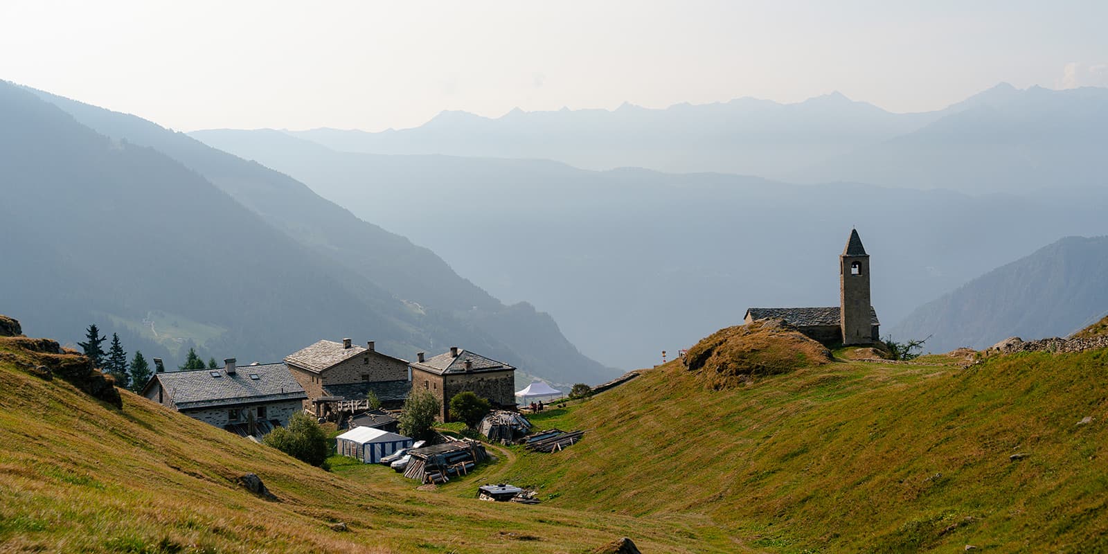
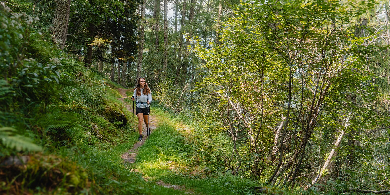
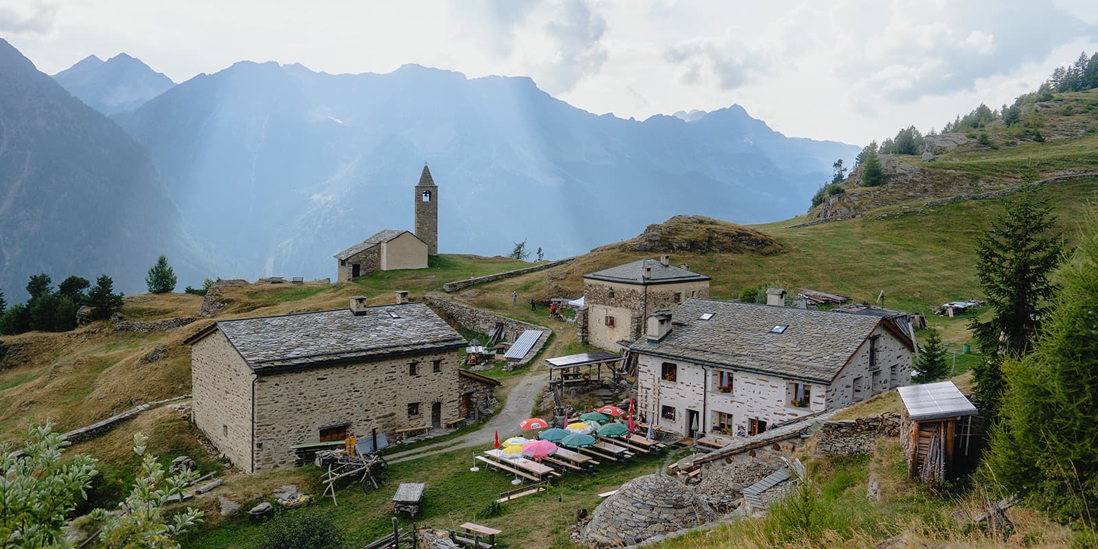
The first stage starts in Poschiavo, a little village known for its small streets and pastel-colored buildings. After leaving the town, you start the ascent through pine forests. You’ll be treated to spectacular views of Lake Poschiavo and the surrounding peaks. The trail alternates between steep sections and flat parts. After you reach the highest point of the day, you will continue through forests and open fields, sometimes having to cross a small stream or waterfall. At the end of this stage of 11 kilometers, you will descend a little and see Rifugio Alpe San Romerio on a huge and open terrace of the mountain. The panoramic view is amazing! The hut is run by Gino and Susanna and they serve locally sourced meals.

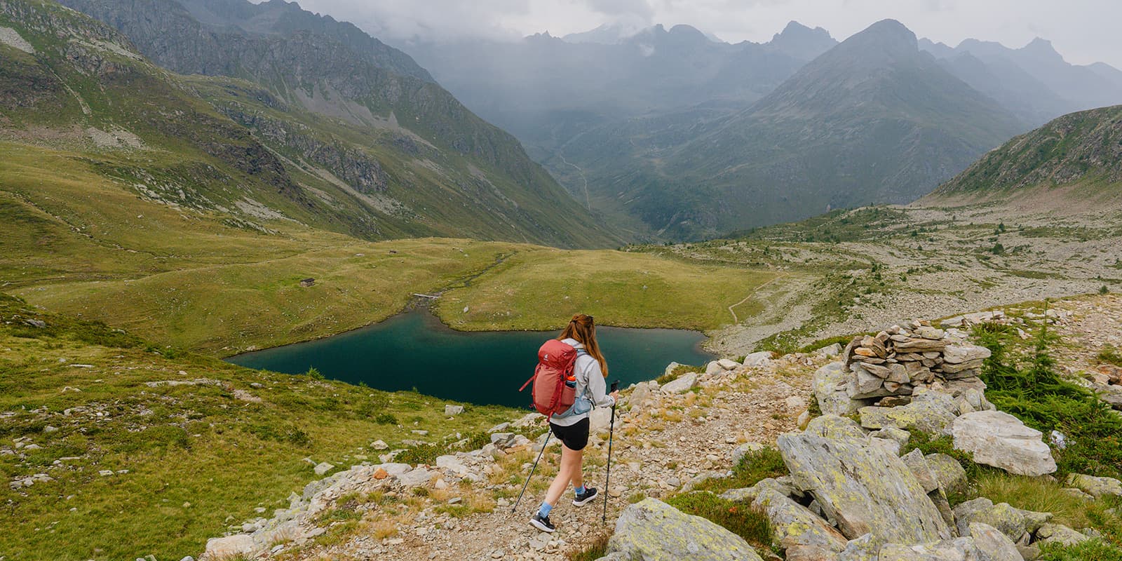
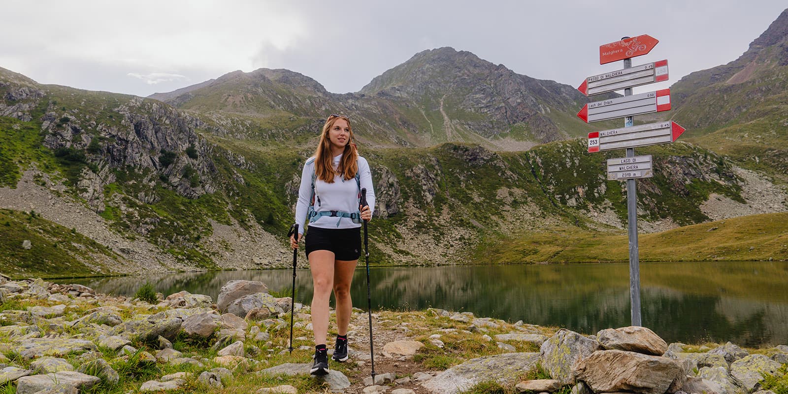
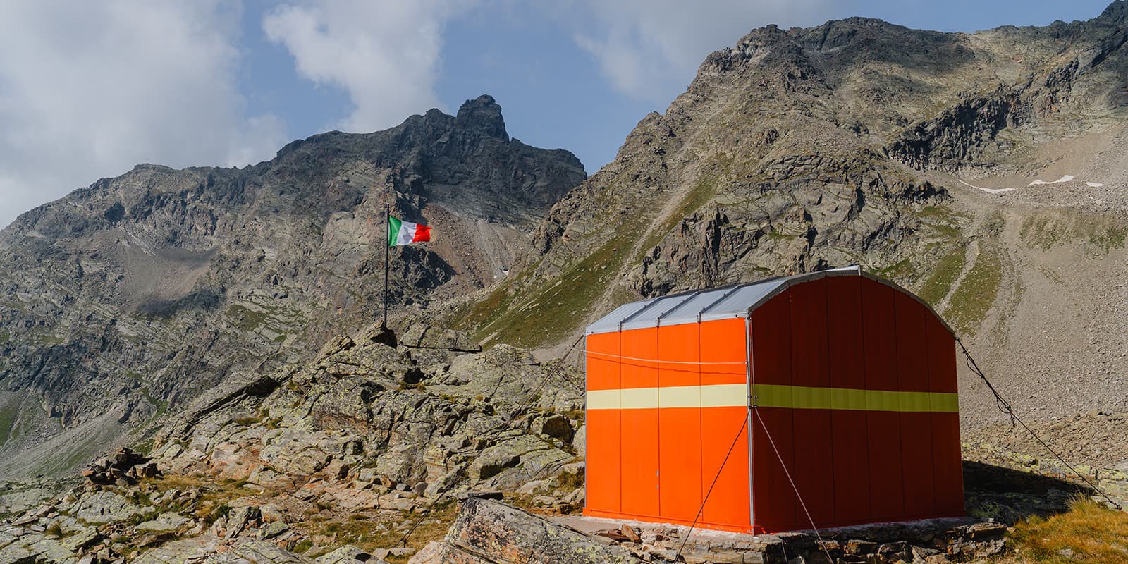
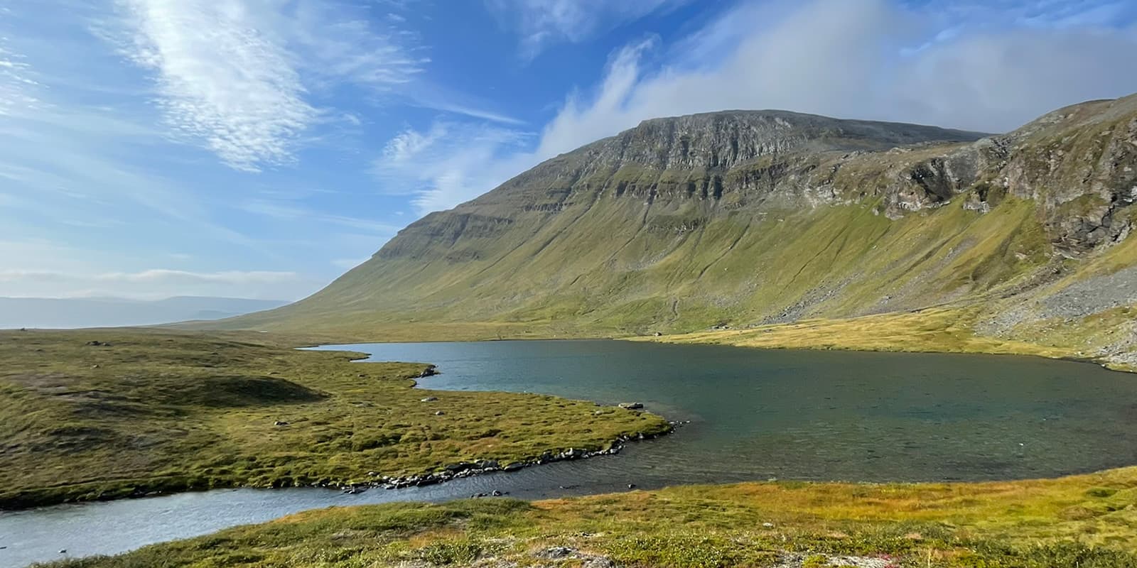
The second stage is a mix of forested trails and rocky landscapes. The trail becomes steeper as you climb toward Passo di Malghera, the highest point of this day (2543m). It’s a lot of ascending, but the view from the top is so rewarding! You’re now at the Swiss-Italian border. The descent brings you through an increasingly green landscape. You walk along the clear blue Lake Malghera, in which you see the reflection of the surrounding mountains. Eventually, you arrive at Rifugio Malghera after 14 kilometers of hiking. You know you’re in Italy when the hut is covered with pictures of various popes and a bottle of red wine is standard on the table!

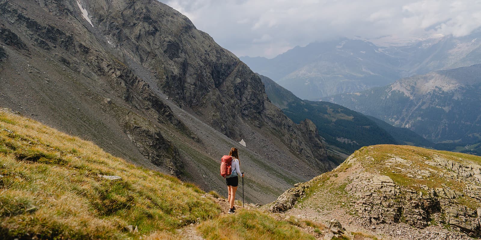
The final stage takes you along steep and mustard-colored hills and the path becomes more challenging. Large stones form your path and after some climbing, you’ll reach a green valley with a small lake. The path of the summit consists of loose gravel and stones. Finally, you’re at the top of Pass da Sach, at 2746m altitude. The view is breathtaking: bare, rugged mountains without any vegetation stretch out before you. You start the steep descent, with a lot of loose stones and large rock formations. The landscape is slowly becoming greener, with subtropical-like plants. You end up at Lake Saoseo and finally reach Alpe Campo, the finishing point.

Stages

While the stages for each day are fairly short, that doesn’t mean they’re a walk in the park! With steep ascents and descents each day, you have your work cut out for you. Make sure to bring snacks to enjoy on the summit and as you walk to keep you fueled for the tour.

3-stage itinerary

Stage 1:

Poschiavo – Rifugio Alpe San Romerio, 17 km | 7.3 mi

Stage 2:

Rifugio Alpe San Romerio – Rifugio Malghera, 14 km | 8.7 mi

Stage 3:

Rifugio Malghera – Alpe Campo, 11.4 km | 7 mi

Accommodations

You have to stay at mountain huts. The great thing about these stages is that all mountain huts are located on the trail and you can walk in both directions.

The trail is mainly known among German, Italian, and Swiss people. Nonetheless, they are quite popular, so it’s good to plan and book everything in advance.

The mountain huts provide you with a nice dinner and breakfast. You can also ask for a lunch package if you want. Either way, you’ll want to bring enough of your own snacks or food on the go as you won’t encounter anything else. In Poschiavo, you’ll have enough options to stack up on some snacks in the supermarket.

Accommodations per stage

Stage 2:

Rifugio Malghera

Best time of the year

The best time of the year to hike the Estels del Sud is from June through September. Keep in mind you’ll need to be prepared for multiple weather conditions. Always check the trail conditions and weather forecasts.

Additionally, consider your hiking experience and skill level, as some parts of this trail are challenging. So bring the proper equipment with you, such as solid shoes and hiking poles.

Safety & Gear

You can reach the starting and finishing point by car. The trail signage is great, but hiking with GPX makes it easier.

The trail has some challenging parts, so you have to be in good condition and have some hiking experience. Hiking poles, a sun hoody, and sturdy shoes are recommended. The terrain varies from steep forest trails to rocky alpine paths, which makes this hike moderately challenging.

Good to know

You start in the small village of Poschiavo which is accessible by car and train. We parked at the parking lot of the hotel we stayed in the night before beginning.

During our trip, we didn’t encounter many other hikers. In the second hut, we were the only ones, but that’s probably because we were there at the end of the hiking season. For example: there are 90 beds and multiple dining areas in Rifugio Malghera, so that must be popular in peak season.

The finishing point is in Alpe Campo. You have to take the bus to Sfazù and from there another bus to Poschiavo.

Bus schedule: Alpe Campo – Sfazù
Bus schedule: Sfazù – Poschiavo

Route
Point to point
Highest point
2746m (9009 ft)

Want to submit a trail or make this page more complete?

Comments

Be the first one to comment on this trail!

Reply to this trail

Log in to comment on this trail
Always read the disclaimer

Terms of Use: important to all visitors on this website. We strive to publish high quality content and information on this website. However it’s always possible that we’re missing out on some crucial information. In spite of the fact that this route, associated GPS track (GPX and maps) were prepared under diligent research by the specified contributor and/or contributors, the accuracy of such and judgement of the author is not guaranteed. Therefore, hiking-trails.com and contributors are in no way liable for personal injury, damage to personal property, or any other such situation that might happen to individuals hiking or following this route. Should you choose to hike this trail, this is always at your own risk. Check out our guidelines for safety hiking and Leave No Trace principles at the hiking 101 page.

Download GPX

Join the community!

Login or create a FREE account 😊

With an account you can:

Download GPX files

Pin trails to your wishlist

Mark trails as hiked by you

Rate hiking trails

Comment on trails, blogs and gear reviews

Happy trails!
Login

Don't have an account yet? Register here