mountain valley in de Catalan pyrenees

Travessa dels 3 Refugis

The Three Refuges Crossing

About the Travessa dels 3 Refugis

Pyrenees
country
Spain
length
52 km(32 mi)
Type of trail
Hut to hut, Long-distance
difficulty

Difficulty is highly personal. Be aware of the weather conditions as bad weather turns easier trails in difficult trails especially in the mountains.

Moderate
accommodation

Lodging means a mix of hotels, hostels or AirBnB’s.

Mountain huts
Elevation gain
3000 m(9843 ft)
terrain
Mountains, Forest, Hills
remoteness
Some of the time
Show more

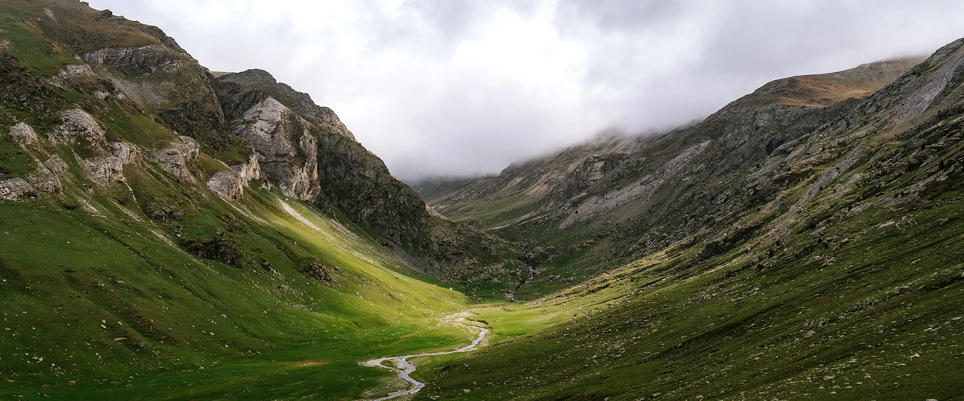
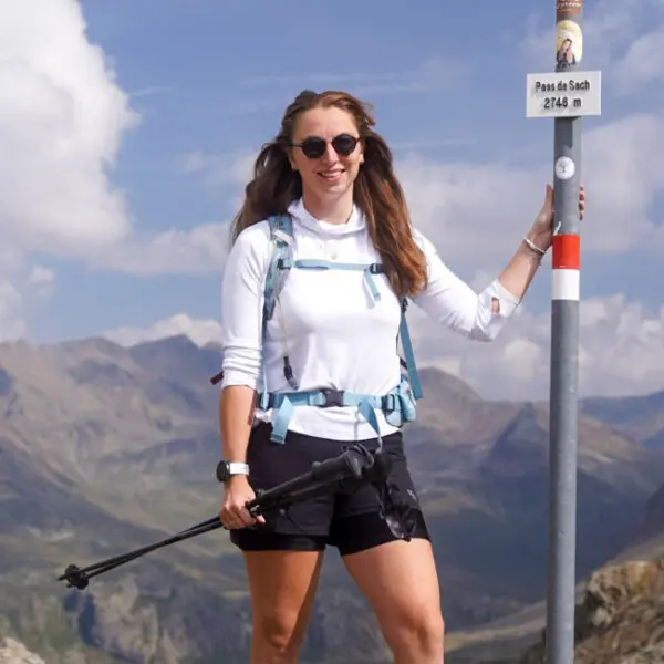
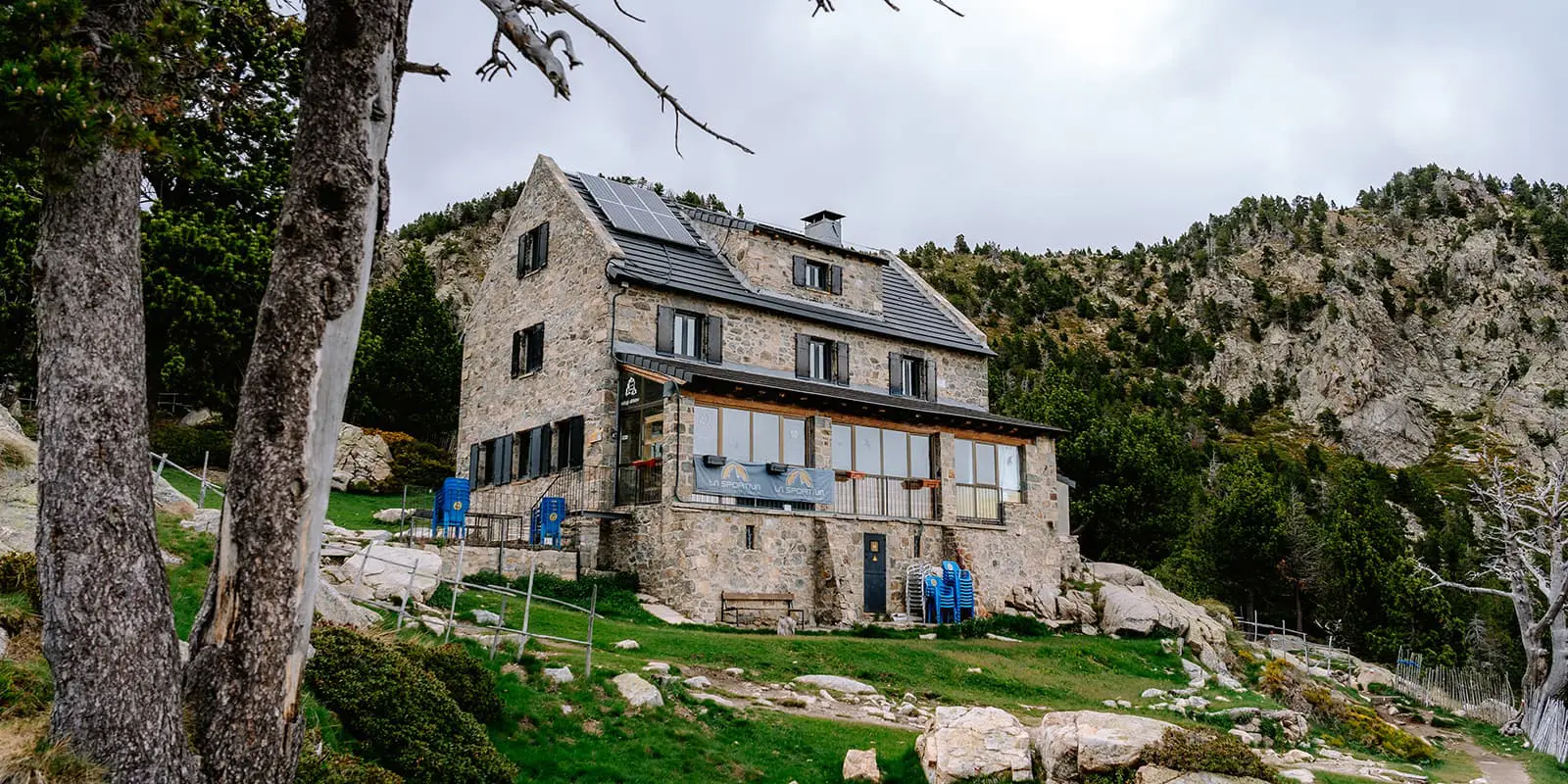
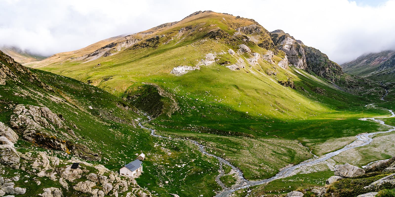
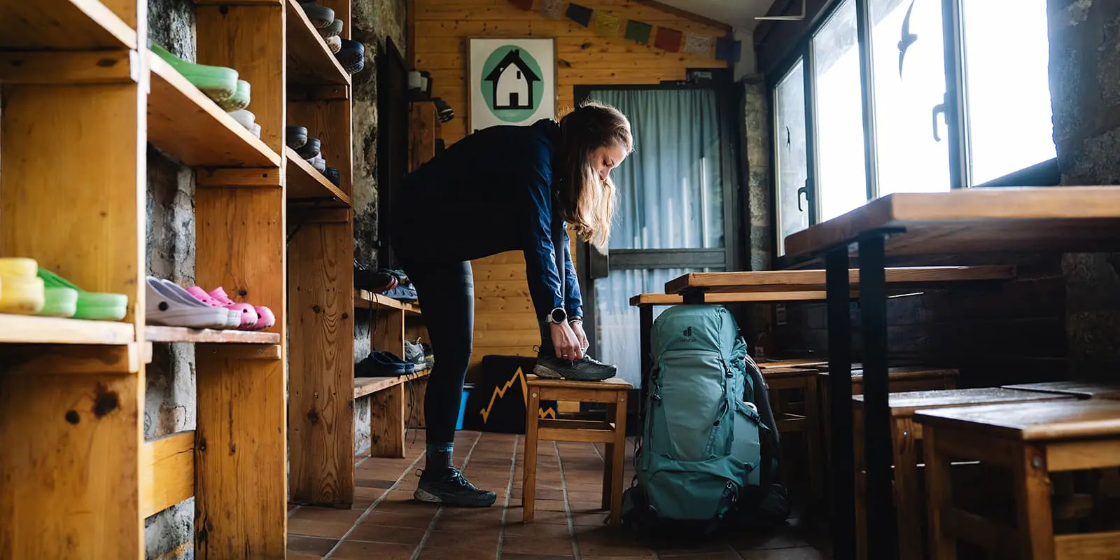
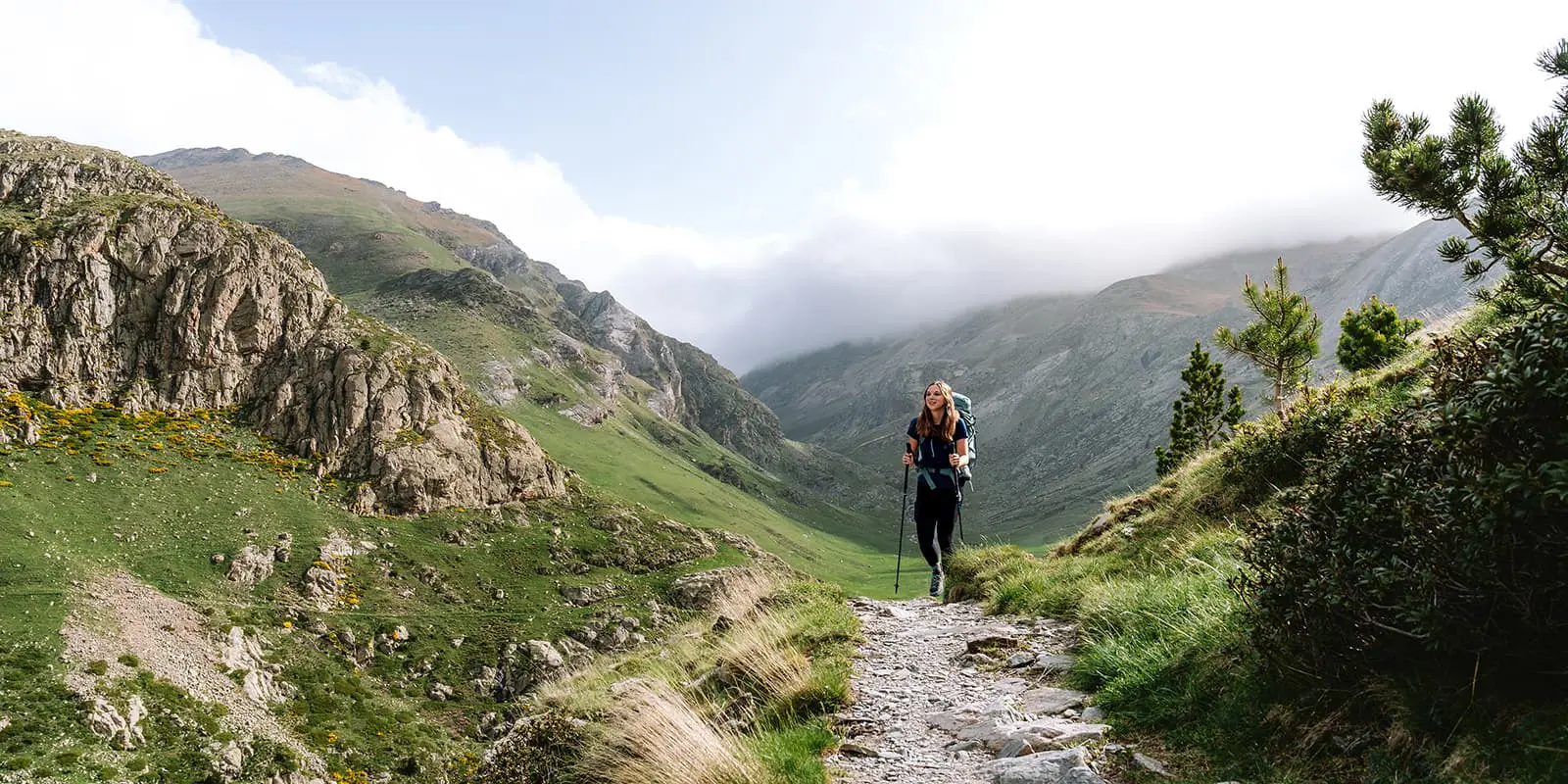
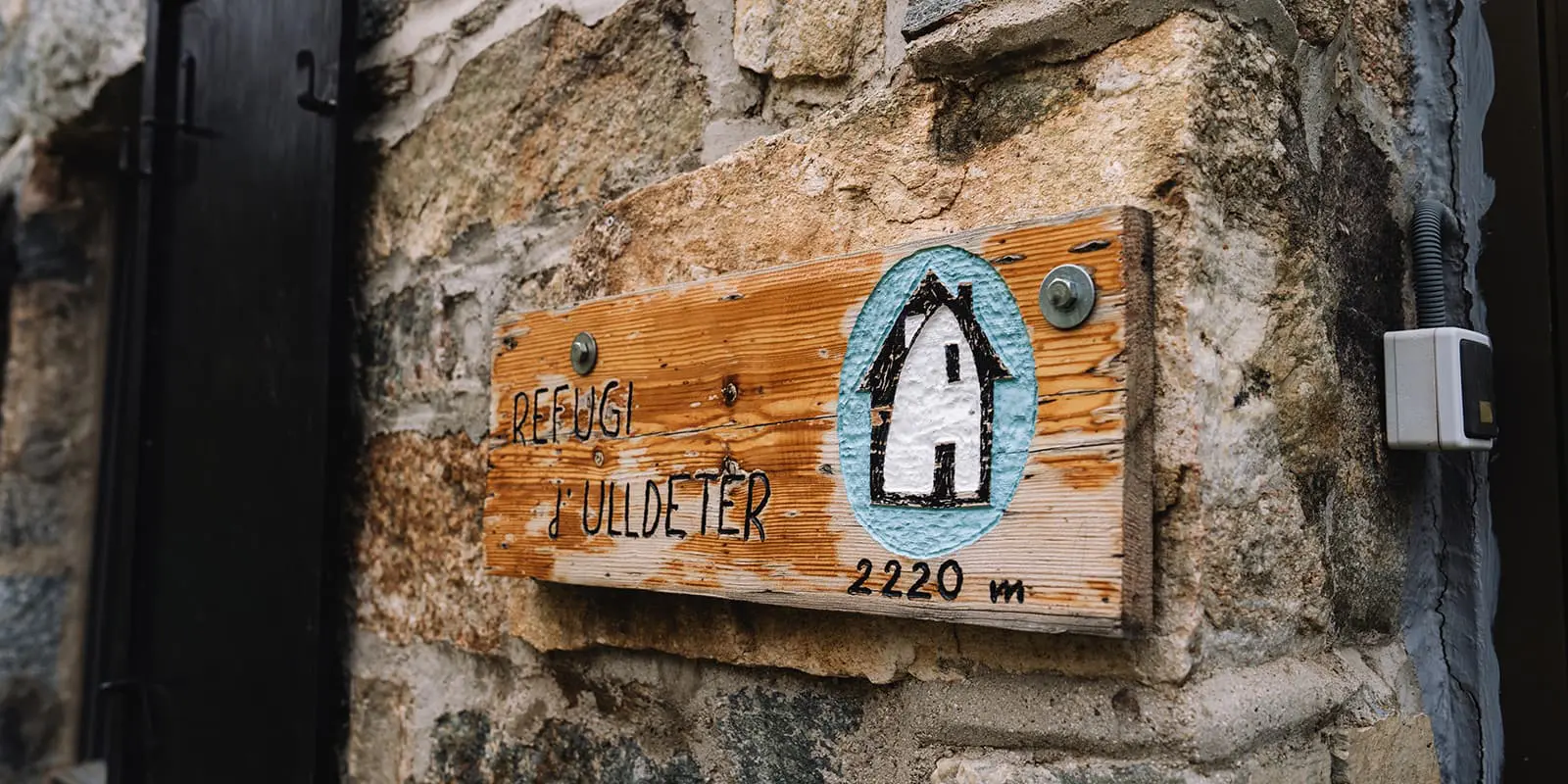
Discover the Travessa dels 3 Refugis, a beautiful 50 km hiking trail in Catalonia or Catalunya. This circular three day hut-to-hut tour connects the mountain huts within both French and Catalan territories. You’ll start and end in the medieval village Queralbs. Experience alpine forests, rugged mountain peaks and breathtaking valleys.

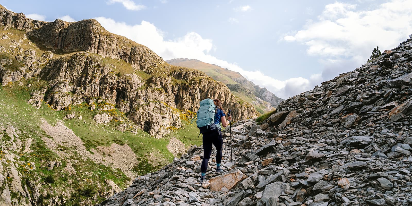
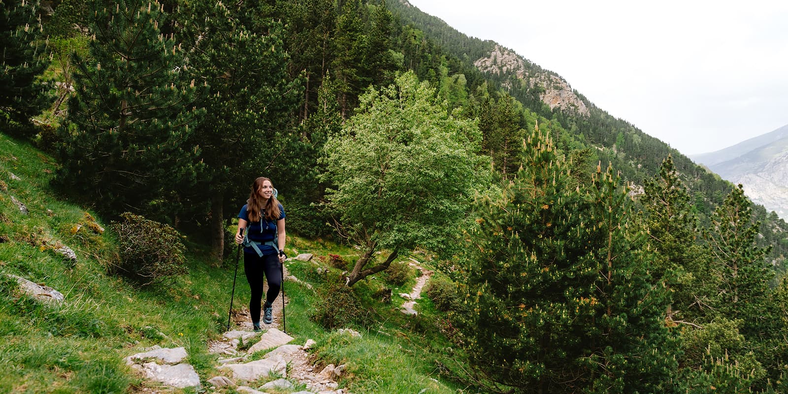
The Travessa dels 3 Refugis lies in the Catalan Pyrenees, located on the northern border of Catalonia, are known for their amazing mountain landscapes, perfect for hiking and in general for hut-to-hut hiking. This region offers a mix of hiking, skiing, and traditional villages, with trails that leads you through the mountains, forests and valleys. The area is also home to historical sites, including old monasteries and fortresses, that reflect its cultural heritage of the Catalan Pyrenees.

profile picture Joy Hadders
Author

Joy Hadders

Joy Hadders is a Dutchie who takes full advantage of her free days off of work to experience as much as possible in other countries. Like many others, she found her way in hiking during the lockdown and now she’s also hooked! She enjoys discovering hidden gems with her boyfriend and dreams of a fully pinned world map. You can follow Joy on Instagram @joyhadders.

View profile

The Trail

You start next to the train station of Queralbs. From the beginning the trail offers views of beautiful mountain peaks. After you cross a wooden bridge you will see the Salt del Grill waterfall. The trail continues into rocky terrain surrounded by narrow paths and open green fields full of vibrant yellow and pink flowers.

When you’re climbing further over stony paths you will be treated with the most amazing view of the big green valley. Because of the contrast of green fields with many white rocks you’ll almost miss the hut Refugi de Coma de Vaca. It looks so small from a distance. We chose to stay the night here tomorrow, so we hike further along the river. You may spot some groundhogs or deer here!

It’s a lot of climbing over mossy hills. Luckily, you will descend after that to one of the oldest mountain huts in the Pyrenees: Refugi d’Ulldeter. Fun fact: every room has got the name of a mountaintop in the area. In the evening you’ll get proper food which you share with fellow hikers at the big tables.

The second stage takes you along the Ter River, ascending through Vallter 2000 ski area to the ruins of the old Ulldeter hut. The path leads to Les Marmotes with a challenging climb to the Geganta pass. Stunning views guaranteed! The descent into the serene, green valley of France involves careful navigation and some river crossings.

The last part of this stage continues alongside the Carançà River and many beautiful lakes, such as Estany Gran de Carançà and Estany Negre, ideal spots for breaks. A final climb reveals the breathtaking Estany Blau, with its clear blue waters. You reach the highest point of the day at the Carançà pass. The descent into the green valley ends at the Refugi de Coma de Vaca.

To start the third and final stage, you will follow the historic Camí dels Enginyers Path. This path was initially built for dam construction (but that project never happened). After that you get some climbs to the Coll dels Homes pass, providing beautiful views. Is it a blue and clear sky? Then you might see Queralbs in the distance. The descent involves rocky paths aided by metal steps and chains, with sights of waterfalls and beautiful landscapes.

Next up you’ll arrive at Vall de Núria. It’s a popular hiking destination in the summer and a ski resort in the winter. It holds significant symbolic value for Catalonians. The Mare de Déu de Núria sanctuary is a significant pilgrimage site. Located in the eastern part of the Catalan Pyrenees, Vall de Núria is accessible only by foot or train. An interesting place to check out, but also a bit touristy. The hike continues with several waterfalls, such as the famous Cua de Cavall. Finally, you hike through a forested section leading back to the small village of Queralbs, marking the end of the Travessa dels 3 Refugis.

Stages

There are many ways to hike in this beautiful region in the Catalan Pyrenees. You can easily make this tour longer if you want to enjoy the region for a longer period of time. The official trail organisations has some great options lined out on their website. If you want to hike the classic three day itinerary, find this below.

3-DAY ITINERARY

Stage 1:

Queralbs – Refugi d’Ulldeter, 14.6 km | 9.07 mi

Stage 2:

Refugi d’Ulldeter – Refugi de Coma de Vaca, 21.2 km | 13.17 mi

Stage 3:

Refugi de Coma de Vaca – Queralbs, 17 km | 10.56 mi

Accommodations

Youĺl spend your nights in the cozy mountain huts. The great thing about these stages is that all mountain huts are located on the trail. If you choose to do this trail in 4 days, you can also book a bed at the hut Ras de Carançà.

Make sure you book the huts in time. It’s not a very well known hut-to-hut tour, but in high season the huts can still fill up quickly, especially the well known Refugi d’Ulldeter.

The mountain huts provide you with a nice dinner and breakfast, but bring enough of your own snacks or food on the go. You won’t encounter other shops on the trail.

MOUNTAIN HUTS PER STAGE

Best time of the year

The best time of the year to hike the Travessa dels 3 Refugis is from June through September. Keep in mind you’ll need to be prepared for multiple weather conditions. During summer time it can be very hot, but we experienced some rain and snow fields in June. Probably the best time is early september when the trail is less crowded and the weather circumstances are mostly favorable. Always check the trail conditions and weather forecasts before setting out on the trails in the Pyrenees.

Safety & Gear

The trail has some challenging parts, so you have to be in good condition and have some hiking experience. The trail is marked but it’s highly recommended to download the GPX and know how to navigate in this area of the Pyrenees. Bring the proper equipment with you, such as solid shoes, layers and hiking poles. Check out full hut-to-hut hike gear list.

Good to know

You start in Queralbs which is accessible by car. You can park your car next to the train station, for free. There are only water points at the mountain huts, prepare yourself each morning with enough water for the day.

As always in the mountains, keep an eye on the weather forecast every day as the weather can change rapidly and make the trail more difficult. You can always ask the hut warden for information and the weather forecast.

Route
Circuit
Highest point
2700m (8858 ft)

Guidebooks

guidebook cover travessa tres refugis

Travessa del 3 Refugis

View guidebook

Want to submit a trail or make this page more complete?

Comments

Be the first one to comment on this trail!

Reply to this trail

Your email address will not be published. Required fields are marked *

Reply to this trail

Log in to comment on this trail
Always read the disclaimer

Terms of Use: important to all visitors on this website. We strive to publish high quality content and information on this website. However it’s always possible that we’re missing out on some crucial information. In spite of the fact that this route, associated GPS track (GPX and maps) were prepared under diligent research by the specified contributor and/or contributors, the accuracy of such and judgement of the author is not guaranteed. Therefore, hiking-trails.com and contributors are in no way liable for personal injury, damage to personal property, or any other such situation that might happen to individuals hiking or following this route. Should you choose to hike this trail, this is always at your own risk. Check out our guidelines for safety hiking and Leave No Trace principles at the hiking 101 page.

Download GPX

Join the community!

Login or create a FREE account 😊

With an account you can:

Download GPX files

Pin trails to your wishlist

Mark trails as hiked by you

Rate hiking trails

Comment on trails, blogs and gear reviews

Happy trails!
Login

Don't have an account yet? Register here