Book release!Pre-order: Hiking Trails (in English!)

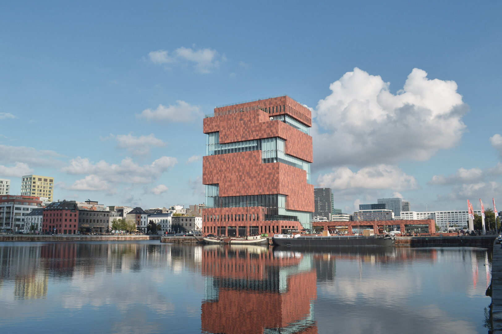
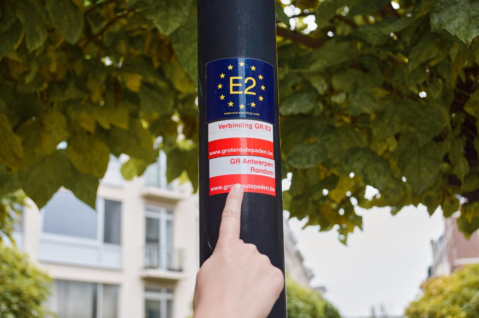
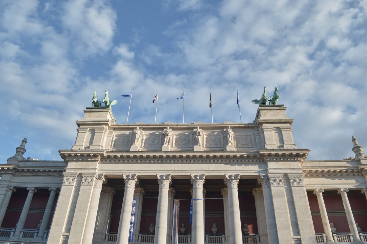
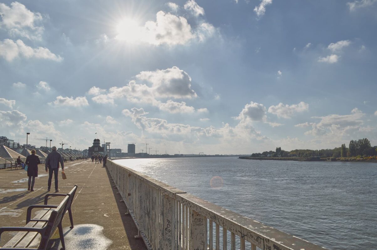
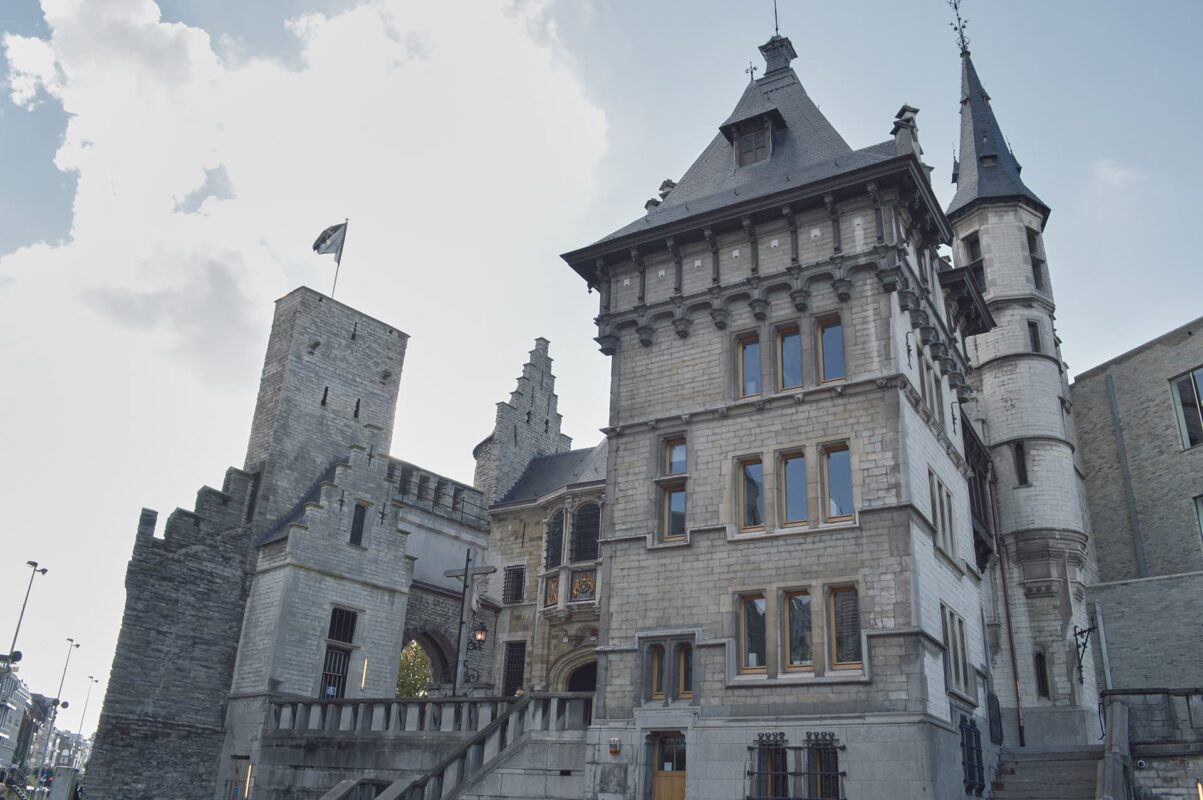
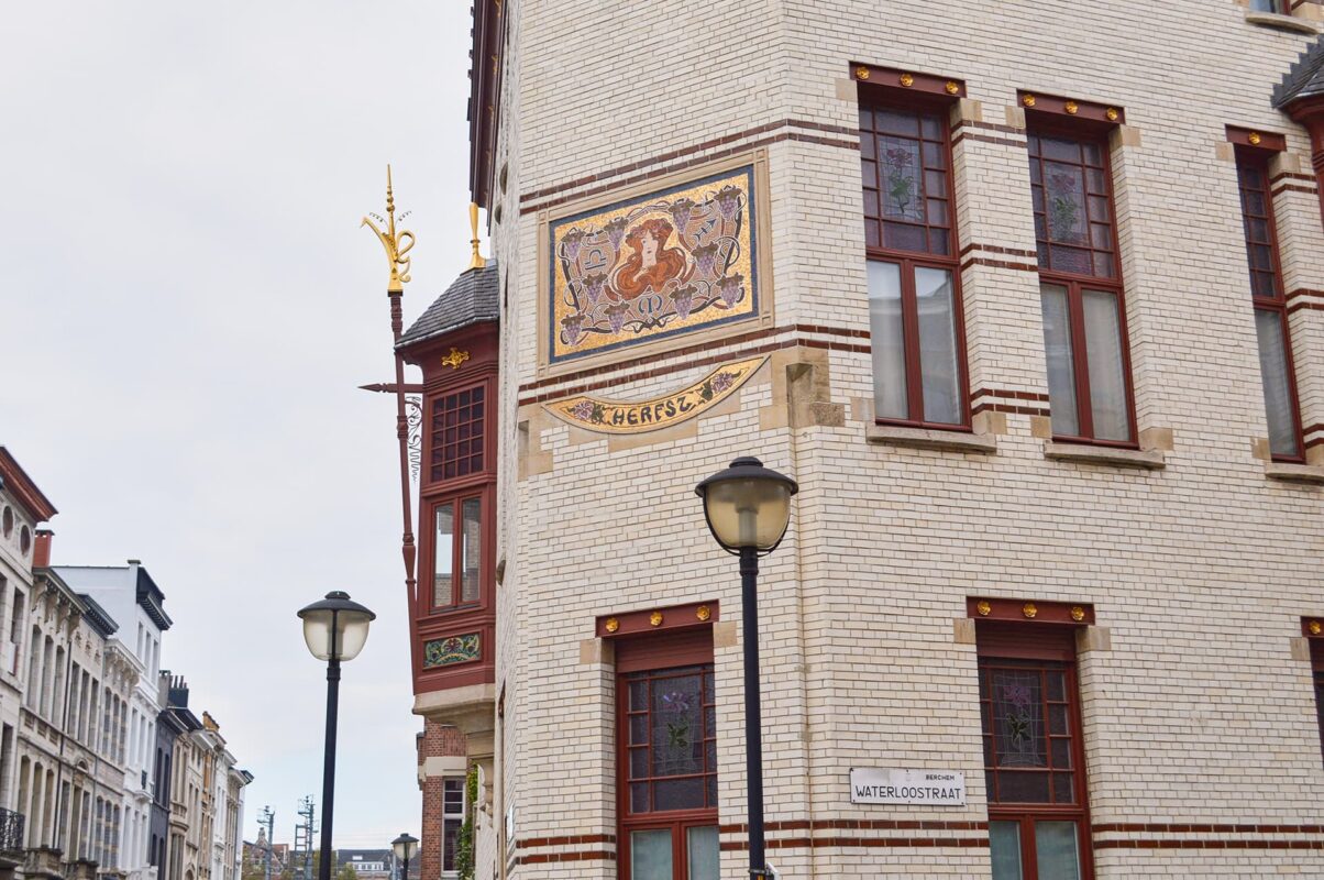
The Stads-GR Antwerpen is a trail that connects many nice points within a city, and a special city at that. Situated in the northern part of Belgium lies Antwerp, one of Flanders’s bigger cities. With its 2nd largest port in Europe and its famous trade in diamonds, Antwerp is one of the most important economic cities of Belgium. However, that’s not the only thing this lively city has to offer. Next to hundreds of stores, boutiques, and catering establishments, the city also includes beautiful historical and astonishing architecture, well-known museums, and even a city zoo.
Taking this all into account, it is no wonder that the city attracts around 2 million tourists a year. It is therefore not a surprise that the creators of the GR network thought a trail connecting all these impressive sights and numerous parks would be a big asset to Antwerp. That’s why the GR network in Antwerp, stads-GR Antwerpen, has been created.