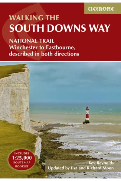
Book release!Pre-order: Hiking Trails (in English!)


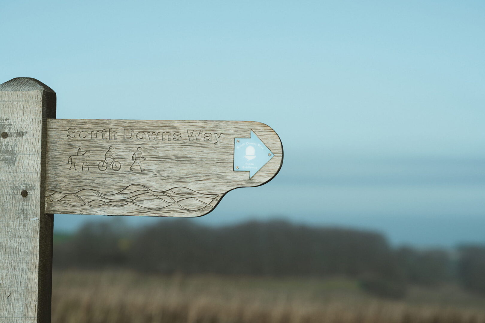
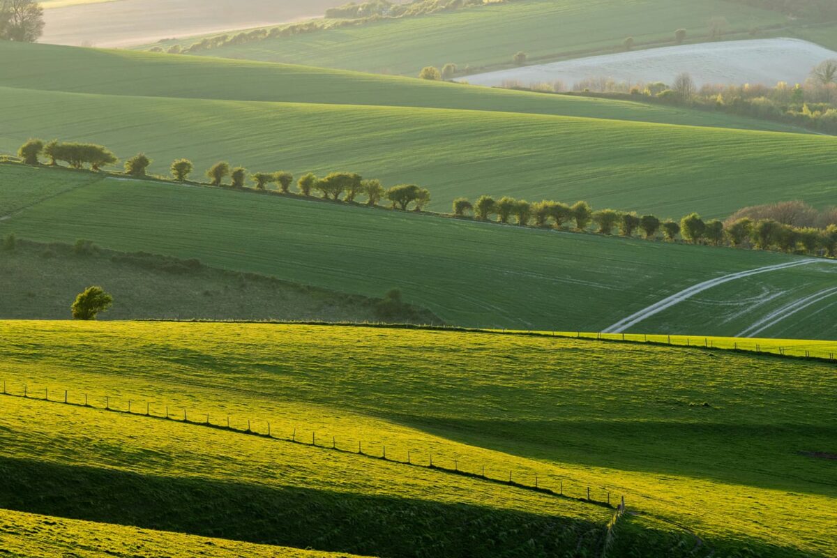
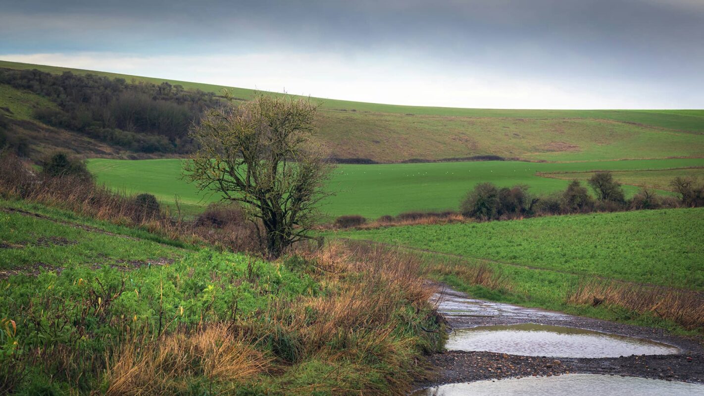
The South Downs Way is a trail that winds through Southern England. It crosses 100 miles of countryside, showing off the perfect long-distance English hiking experience. This trail is great for hikers of all levels who want to taste a bit of the English countryside. Completed in roughly eight stages, you’ll cross coastal, hilly, forested, and countryside landscapes, which will equal up to a great overview of what the country has to offer.
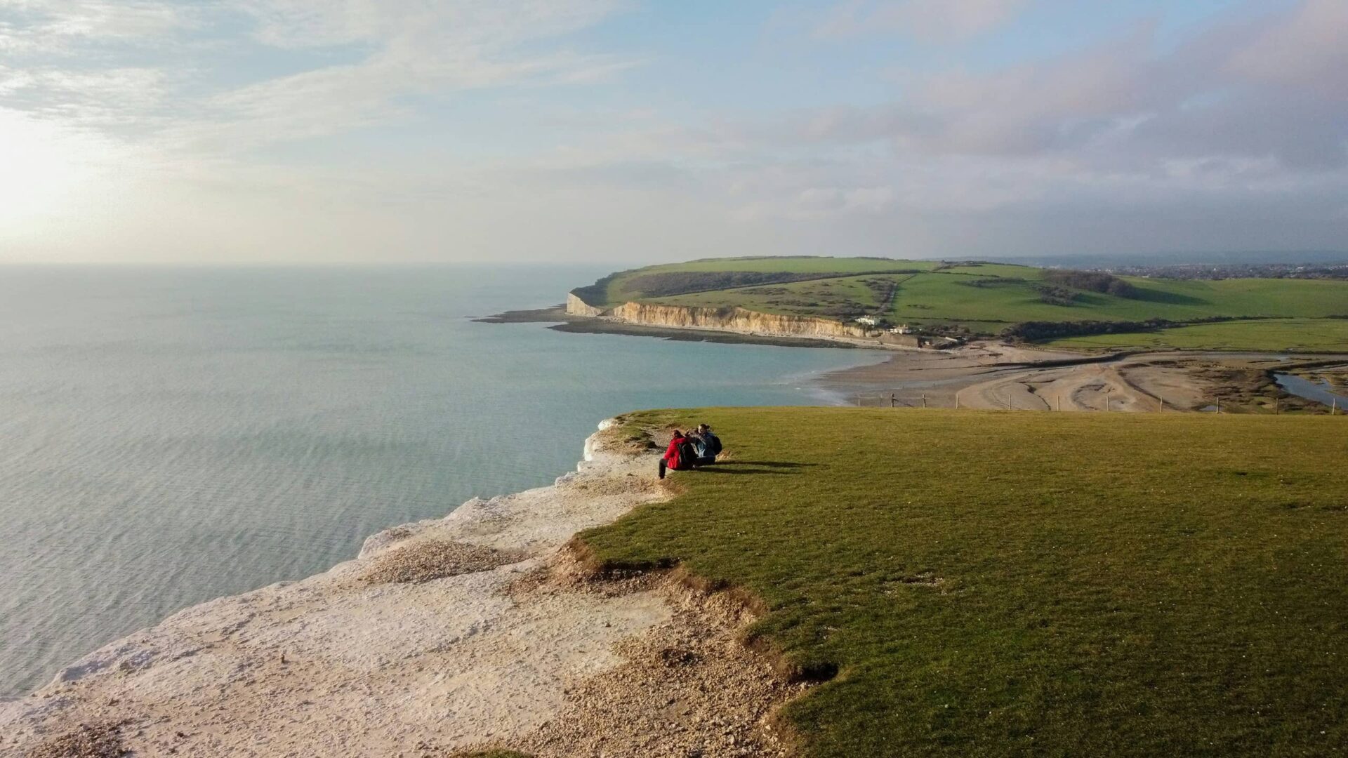
The trail also finishes at the iconic Seven Sisters hike outside of Brighton, which means you’ll have the chance to check off two bucketlist hikes in one week. You won’t want to miss this one!