About the The Coleridge Way

country
England
length
82 km(51 mi)
Type of trail
Long-distance
difficulty

Difficulty is highly personal. Be aware of the weather conditions as bad weather turns easier trails in difficult trails especially in the mountains.

Easy
accommodation

Lodging means a mix of hotels, hostels or AirBnB’s.

Camping, Lodging
Elevation gain
2757 m(9045 ft)
terrain
Countryside, Forest, Hills, Moorland
remoteness
Most of the time
Show more

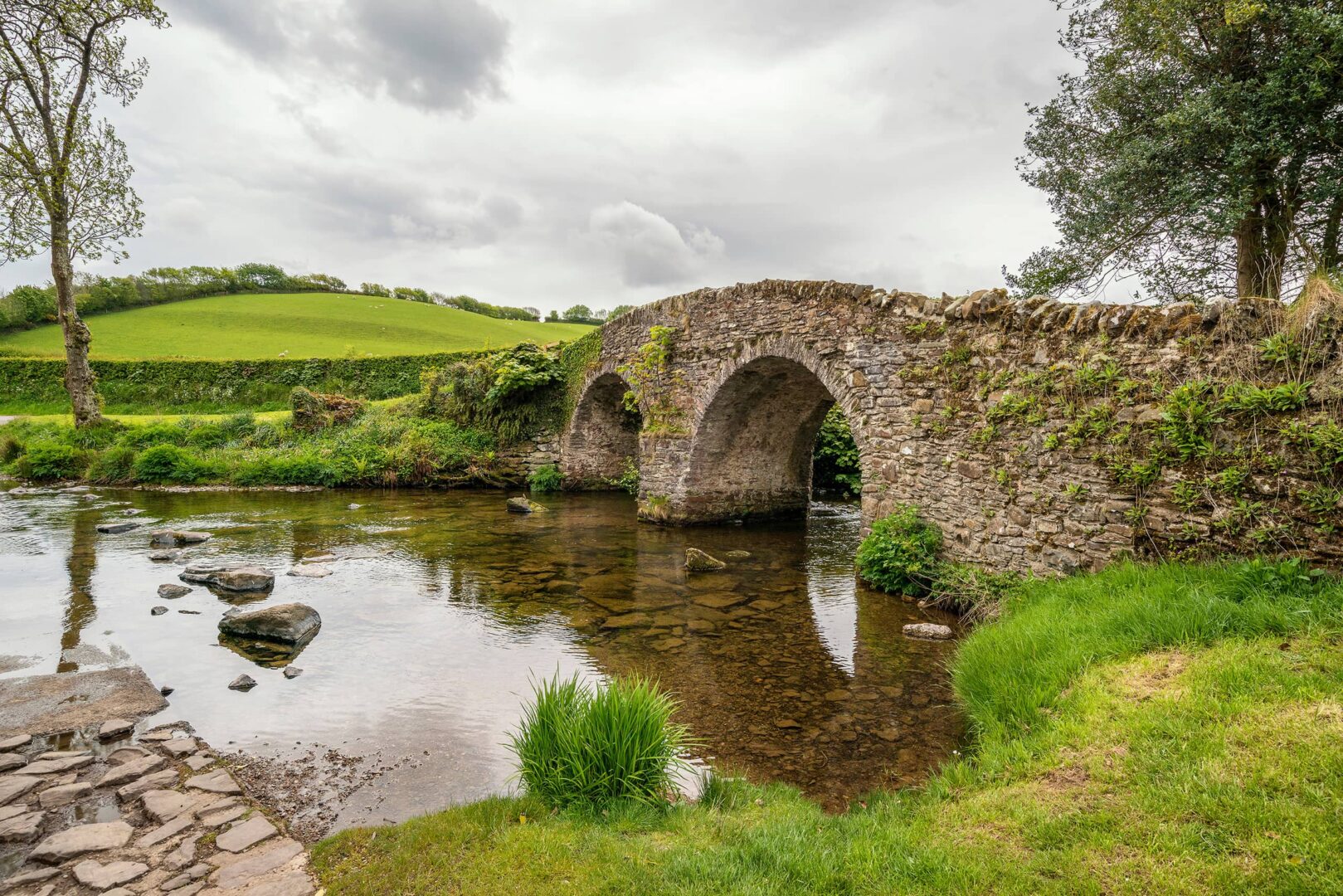
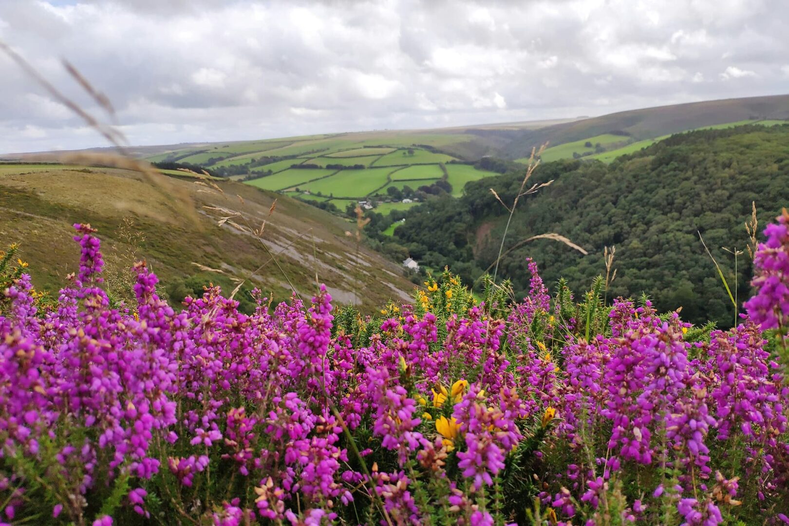
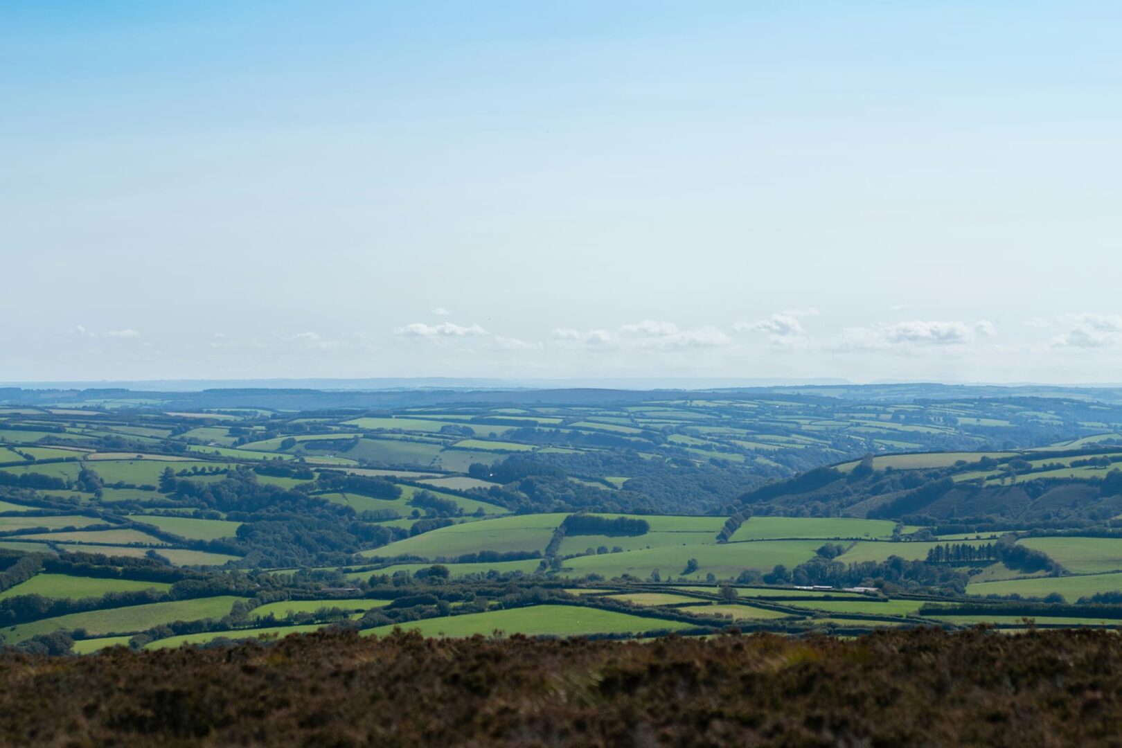
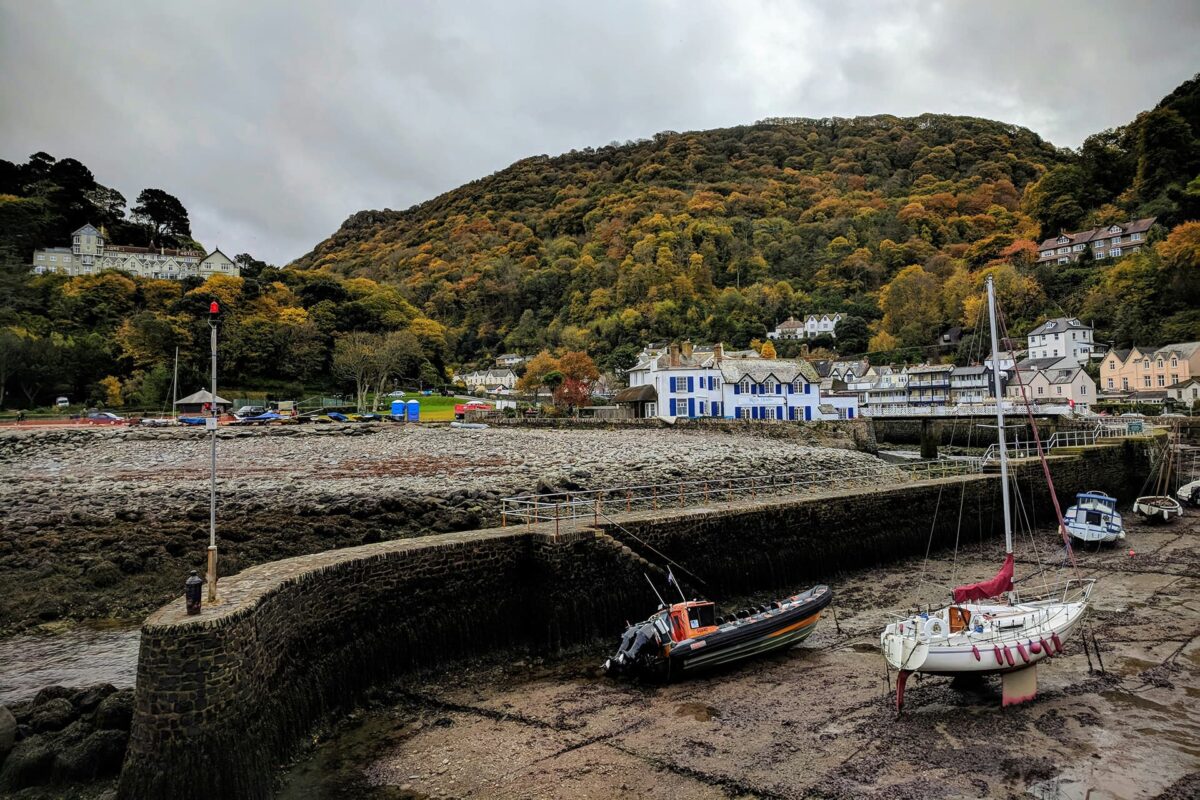
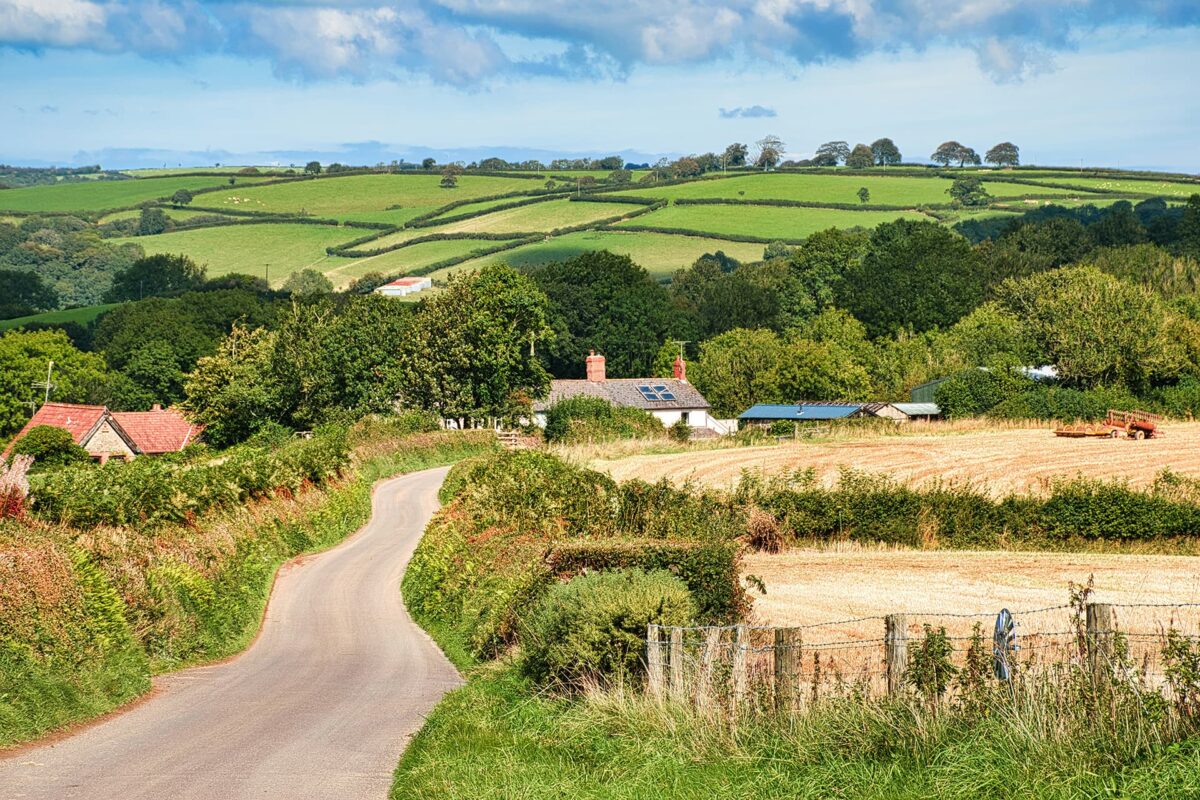
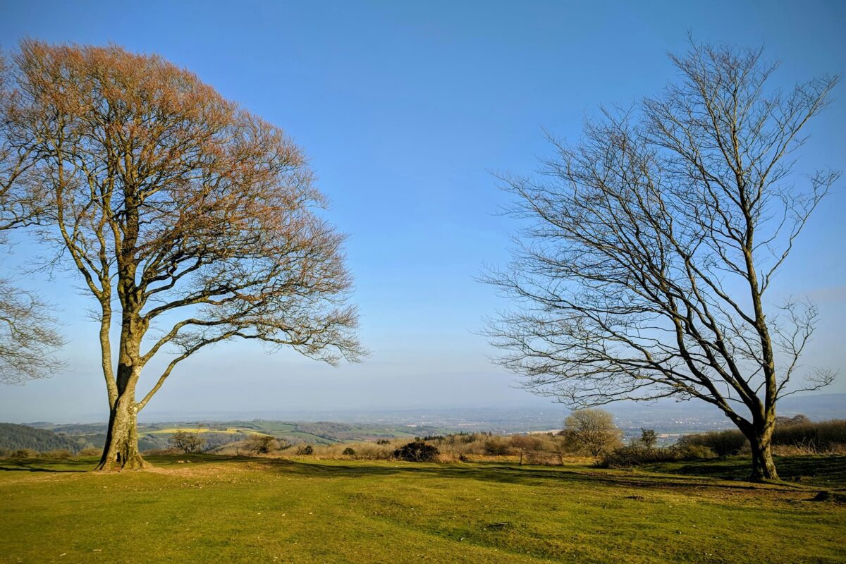
A waymarked footpath crossing the English counties of Somerset and Devon, winding through the hills and stunning landscapes of the Quantock Hills and Exmoor National Park. The Coleridge Way boasts a variety of scenery and habitats. Winding through heathland, moorland, woodland and farmland, rolling hills and valleys. You’ll walk through sleepy picturesque villages, and have the chance to break at some quintessentially English pubs and tea rooms.

The Coleridge Way is named after the famous poet Samuel Taylor Coleridge, who lived in the area during the late 18th and early 19th centuries. The trail follows paths through areas that inspired much of Coleridge’s poetry. Established in 2005, the trail offers you the chance to explore the landscapes that inspired one of England’s great literary figures.

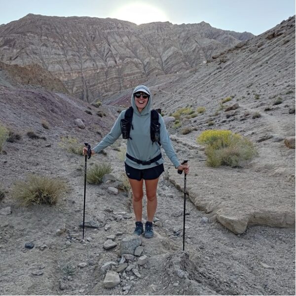
Women standing in mountains with hiking poles
Author

Jess Fellows

Having always been ‘sporty’ but never one to excel in any particular pursuit, Jess loves the simplicity of long distance: you don’t need to be particularly talented or fast at walking, you need only put one foot in front of the other. 

And it’s going the distance that truly tests one’s character. Slowing right down to see the natural world and its magnificence, and truly seeing it. To continuously be navigating new waters, and learning along the way. It’s the sense of freedom and resilience that Jess is consistently hungry for, to witness herself in all manner of experiences and extremes. To trust each tiny step, and to remember the bigger picture will take care of itself.

After a few long distance cycle tours, Jess was supposed to cycle around the world. Having planned and saved for many years, only a global pandemic could be the reason she didn’t go. So in the summer of 2020, craving some transformation and adventure, she decided to shave her head and start walking from her house in Bristol. She would go for 3-4 days at a time and enjoyed a few trips exploring the landscapes around the city and beyond. It was on these hikes that she and her partner started dreaming of bigger hikes for even more nature immersion. The thru hiking obsession had begun so by the summer of 2021 they were ready to take on the UK’s longest footpath along the South West Coast Path. The following summer they decided to return to Turkey to trek the Lycian Way, followed by hiking the GR5 route across the French Alps. After some shorter thru hikes in the UK, Europe and walking in the Himalayas, they are currently preparing for the PCT in 2024.

Jess has type one diabetes, eats a plant based diet and wears barefoot shoes. For work she is a wedding celebrant and yoga teacher on retreats. Check out her website to read more about her offerings and insights on her blog, and follow her PCT journey @uprootlife.

View profile

The Trail

The walk begins in Nether Stowey, where Samuel Tayler Coleridge lived during the 19th Century. He was a poet, critic, and philosopher who spent much of his time in the surrounding countryside; these landscapes are said to have inspired a lot of his best work. The walk aptly begins outside the house he resided in. The trail finishes in the bustling coastal town of Lynmouth, where multiple trails end. The signposts are adorned with the symbol of the feather, a nod to Coleridge, and on many of the waymarks you’ll find a QR code, which links you to some of his poems. The trail is straightforward to follow, making it a suitable multi-day hike for beginners and walkers of all levels. The route feels very safe and you’re never too far away from civilization.

Stages

The Coleridge Way can be completed in 6 stages. Each stage is between 12-15 kilometers and thus makes for a leisurely time on the trail.

6 stages of the Coleridge Way

Stage 1:

Nether Stowey – Bicknoller, 15.5 km | 9.64 mi

Stage 2:

Bicknoller – Roadwater, 14.7 km | 9.14 mi

Stage 3:

Roadwater – Cutcombe, 13 km | 8.07 mi

Stage 4:

Cutcombe – Porlock, 13.5 km | 8.44 mi

Stage 5:

Porlock – Oare, 14.5 km | 9.01 mi

Stage 6:

Oare – Lynmouth, 12 km | 7.5 mi

Accommodations

If self-supported, you can organize your accommodation for each night in advance, either in hotels, B&Bs, or campsites. Alternatively, many supported tour groups arrange travel logistics where you stay in one B&B for the entire stay and they come to collect you and drop you off each day. Other tour organizers arrange for your luggage to be dropped off between the lodgings as you walk between them each day.

Best time of the year

As the weather in the UK can be mixed and unpredictable, late spring through to early autumn would be the recommended time for walking, but if staying in lodgings, this walk could be possible through the colder months also.

You can check out a full recap of this trail on Instagram.

Safety & Gear

To prepare for a safe adventure, research the difficulty, length, and terrain and train adequately. Get advice from guidebooks, experienced hikers, and local hiking groups.

Share your plans with family or friends for safety. Check the weather forecast and avoid extreme conditions. Bring enough water and snacks, and pack navigation tools. At least two liters of water each day!

Gear up with proper footwear, clothing, and equipment. We have a gear list for long-distance trails here.

Respect the principles of Leave No Trace by minimizing your impact on the environment. Stick to designated trails, pack out all trash, and show respect for wildlife and natural habitats.

Good to know

You will be able to find water points at pubs, churches, and accommodations along the route. No need to bring extra!

The trail is also fairly quiet. It crosses some sleepy villages and farms where you might see someone but other than the occasional dog walker, you might be hiking for hours without seeing anyone.

Route
Point to point
Highest point
423m (1387 ft)

Want to submit a trail or make this page more complete?

Comments

Be the first one to comment on this trail!

Reply to this trail

Your email address will not be published. Required fields are marked *

Reply to this trail

Log in to comment on this trail
Always read the disclaimer

Terms of Use: important to all visitors on this website. We strive to publish high quality content and information on this website. However it’s always possible that we’re missing out on some crucial information. In spite of the fact that this route, associated GPS track (GPX and maps) were prepared under diligent research by the specified contributor and/or contributors, the accuracy of such and judgement of the author is not guaranteed. Therefore, hiking-trails.com and contributors are in no way liable for personal injury, damage to personal property, or any other such situation that might happen to individuals hiking or following this route. Should you choose to hike this trail, this is always at your own risk. Check out our guidelines for safety hiking and Leave No Trace principles at the hiking 101 page.

Download GPX

Join the community!

Login or create a FREE account 😊

With an account you can:

Download GPX files

Pin trails to your wishlist

Mark trails as hiked by you

Rate hiking trails

Comment on trails, blogs and gear reviews

Happy trails!
Login

Don't have an account yet? Register here