About the N70 Nijmegen

country
Netherlands
length
14 km(9 mi)
Type of trail
Day hike
difficulty

Difficulty is highly personal. Be aware of the weather conditions as bad weather turns easier trails in difficult trails especially in the mountains.

Easy
accommodation

Lodging means a mix of hotels, hostels or AirBnB’s.

Lodging
Elevation gain
375 m(1230 ft)
terrain
Forest, Hills
remoteness
Some of the time
Show more

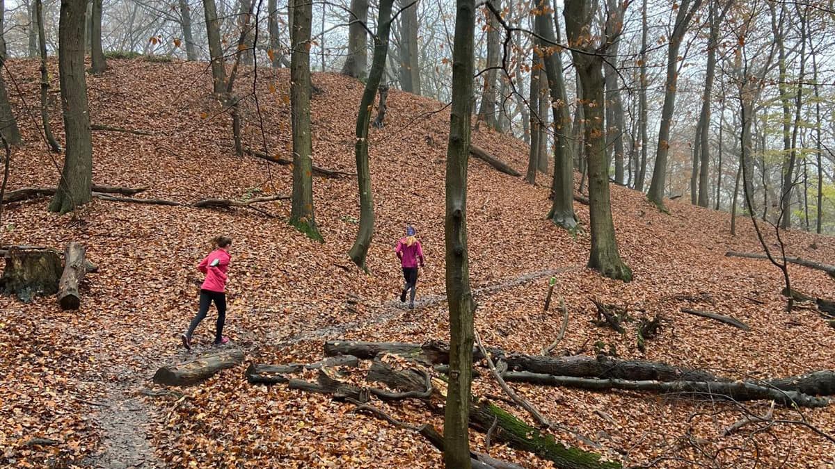
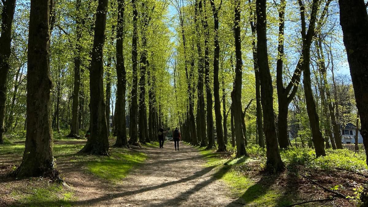
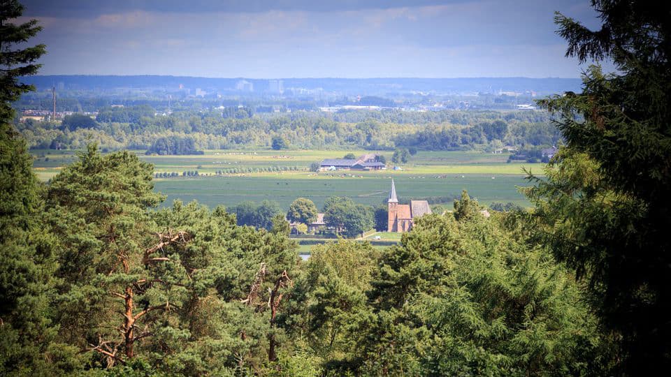
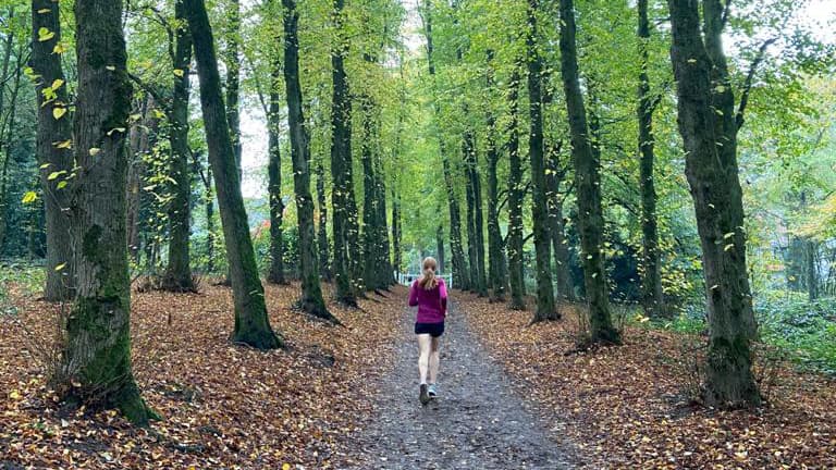
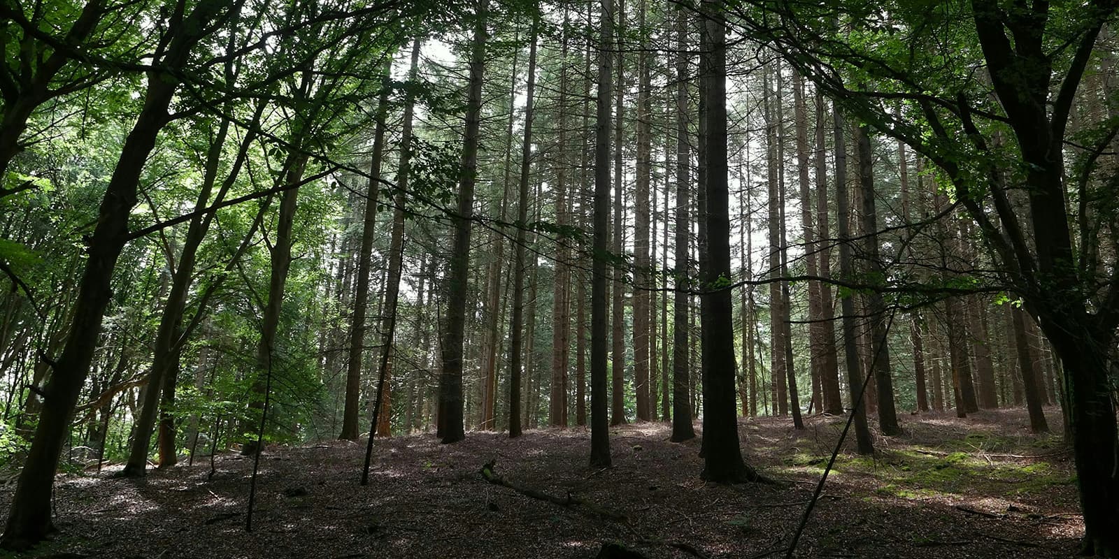
The N70 trail, also known as the N70 Nature Trail, is a well-known hiking route in Nijmegen, in the Netherlands. Even though the country is known for being below sea level, the hike still goes a variety of landscapes, including forests, hills, and open fields. Unlike much of the Netherlands, this area is hilly and has some challenging sections with rewarding views. With 375 meters of elevation gain, the trail gives you the feeling of being abroad. This is really recommended for nature lovers, hikers, and trail runners who are trying to get in some altitude meters.

Hanna van Aalten profile picture

Hanna van Aalten

Hanna was born in a small village in the back corner of the Netherlands: one of the flattest places in the world. Even though she can’t find the mountains in her surroundings, she likes to go hiking, wild camping, and trail running. She is always looking for new challenges and enjoying the little things. What is the best way to do that in a country without mountains? By going on micro-adventures, like exploring new tracks in the area or making coffee in the woods.

As a physical therapist and health psychologist (i.o.) she wants to help people with physical and mental health problems. She encourages and inspires people to go outside, to be in motion, and to get out of their comfort zone. Being in nature is, in her opinion, one of the best ways to recover from health problems and to get the feeling of freedom and happiness.

You can follow Hanna on Instagram @hannavaalten

View profile

The Trail

The N70 is marked with green poles which lead you over the 8 ‘mountains’ and through the woods in the Rijk of Nijmegen. The trail has six starting points, so there are quite enough to choose from. The most typical starting points are the parking lot ‘de Holdeurn’ close to the Duivelsberg and the restaurant ‘Tante Koosje’ in the east of Nijmegen.

On the trail, you’ll find multiple places where you can have a perfect coffee break. There are a lot of benches along the way, which are perfect for enjoying the beautiful view over the river landscape (and catching your breath). One of the best views is on the Wolfsheuvel (Wolf Hill). It offers you a peaceful view over Persingen, the smallest village in the Netherlands with only 105 residents, which has a beautiful polder in the background. The N70 also passes the Duivelsberg (Devil’s Mountain). There you’ll find a well-known pancake restaurant. Time for a good break and a typical Dutch pancake!

Best time of the year

Spring and autumn are ideal times to hike the N70 trail due to the mild weather and beautiful natural colors. However, the N70 can be hiked in every season. Every type of weather and every season has its charm if you prepare correctly! Be aware that the trail is very popular so it can be busy on the trail, especially on the weekends and sunny days.

Safety & Gear

Bring your essentials to the trail and make sure you have shoes with enough grip, especially when it rains because the trail can be muddy. As you’re hiking in The Netherlands, a town and civilization is never far away but it’s always better if you can rely on yourself.

Good to know

The N70 Trail is a perfect trail for beginning hikers and for trail runners in the Netherlands who want some altitude meters. The paths are well-marked with green poles and are not too technical. It’s a wonderful area to get away from it all, recharge, and enjoy nature. There are six starting points and you can find several benches and some restaurants for a good break.

Route
Circuit

Want to submit a trail or make this page more complete?

Comments

Be the first one to comment on this trail!

Reply to this trail

Your email address will not be published. Required fields are marked *

Reply to this trail

Log in to comment on this trail
Always read the disclaimer

Terms of Use: important to all visitors on this website. We strive to publish high quality content and information on this website. However it’s always possible that we’re missing out on some crucial information. In spite of the fact that this route, associated GPS track (GPX and maps) were prepared under diligent research by the specified contributor and/or contributors, the accuracy of such and judgement of the author is not guaranteed. Therefore, hiking-trails.com and contributors are in no way liable for personal injury, damage to personal property, or any other such situation that might happen to individuals hiking or following this route. Should you choose to hike this trail, this is always at your own risk. Check out our guidelines for safety hiking and Leave No Trace principles at the hiking 101 page.

Download GPX

Join the community!

Login or create a FREE account 😊

With an account you can:

Download GPX files

Pin trails to your wishlist

Mark trails as hiked by you

Rate hiking trails

Comment on trails, blogs and gear reviews

Happy trails!
Login

Don't have an account yet? Register here