About the Mist Trail

country
United States
length
11 km(7 mi)
Type of trail
Day hike
difficulty

Difficulty is highly personal. Be aware of the weather conditions as bad weather turns easier trails in difficult trails especially in the mountains.

Moderate
accommodation

Lodging means a mix of hotels, hostels or AirBnB’s.

Camping, Lodging
Elevation gain
700 m(2297 ft)
terrain
Mountains, Forest
remoteness
None of the time
Show more

One of the most popular Yosemite Valley hikes, the Mist Trail, brings you to the precipice of two powerful waterfalls where you’ll hike the first few miles of the John Muir Trail.

The trail dates back to the late 19th century when Yosemite National Park was established as a tourist destination. In 1864, President Abraham Lincoln signed the Yosemite Grant, protecting Yosemite Valley and the Mariposa Grove of giant sequoias. This marked the first time land was set aside for preservation and public use by the U.S. federal government.

The Mist Trail was developed as part of the plan to increase visitors. Construction of the trail began in the 1870s, led by the efforts of the U.S. Army, which managed Yosemite before the National Park Service was established in 1916. The trail was designed to provide safe access to the Vernal and Nevada Falls.


Jill Poulsen profile picture
Author

Jill Poulsen

Jill Poulsen and her husband have raised six boys in the San Joaquin Valley, a gateway to the mighty Sierra Mountains. She wanders trails all over the world as often as she can. Trained as a historian, she studies women explorers of the nineteenth century and enjoys walking in their footsteps.

You can follow her @nevertoolatetoroam on Instagram.

View profile

The Trail

When you reach Yosemite Valley, you will follow the signs to Happy Isles. There is an unpaved parking lot just past the “road closed ahead” sign which is the most desirable place to park. It is easy to walk over to the trailhead from there. Anywhere else you park you can take a shuttle bus and get off at the Happy Isles stop.

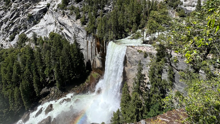
At the start, the trail follows the north side of the Merced River. This is also the start of the John Muir Trail. The paved trail rises from the river, hugging the cliff side, and leading to the Vernal Falls footbridge. Look for your first view of Vernal Falls from the footbridge and follow the now unpaved trail up the south side of the Merced River.

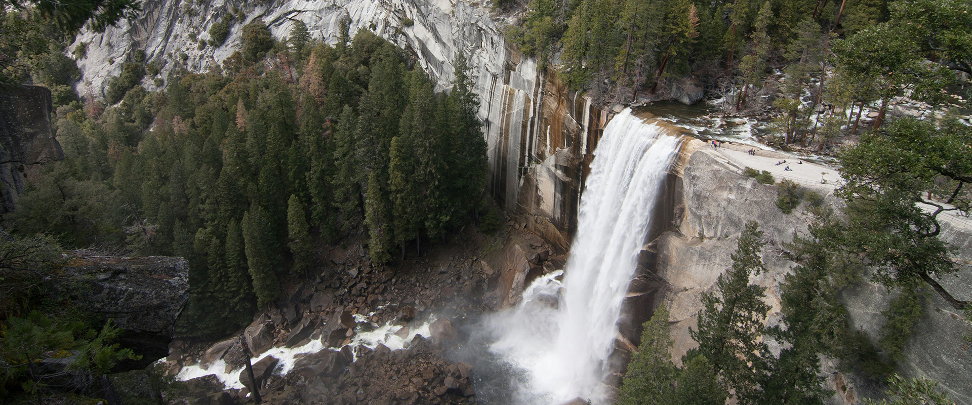
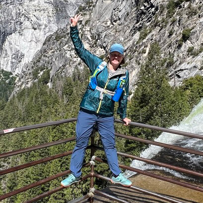
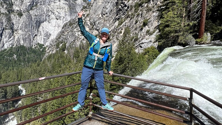
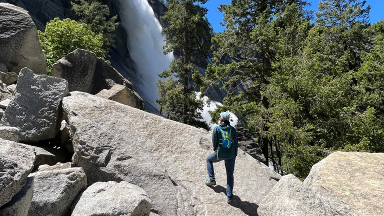
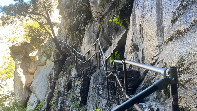
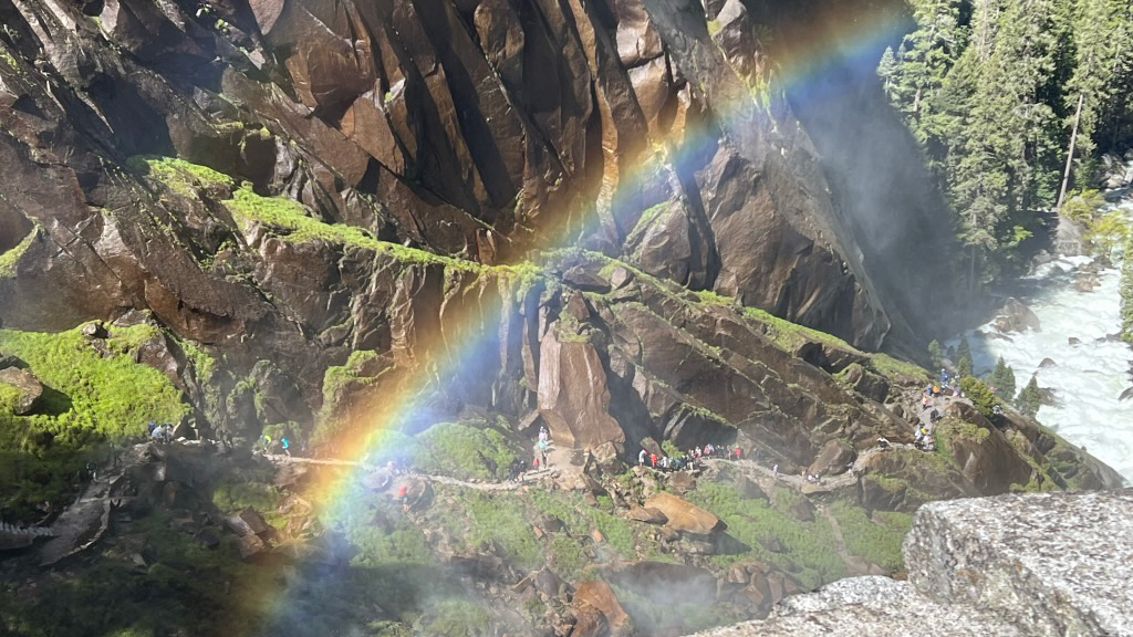
The traditional route of the Mist trail is to stay to the left, along the river toward Vernal Falls, as the John Muir Trail diverges to the right. This is the section that earns the trail its name. The conservation corps beautifully designed the trail with massive rock steps leading along a series of ledges and even through a massive rock fall. During high runoff, the spray from the falls drenches hikers and frequently creates breathtaking rainbows sparkling above the moss-laden cliffs. An iron railing has been installed along the more precarious sections, as well as at the top, so it is quite safe to step to the edge and look over the mouth of the falls.

From there, hikers will cross another bridge, wander through a forest, and emerge at the base of Nevada Falls. The trail zig-zags up the left side of the falls, through a deeply cut notch, and then out on top of Nevada Falls. At this point, you have rejoined the John Muir Trail. There are two viewing areas at the top of Nevada Falls, one on either side of the falls. I recommend checking out both of them.

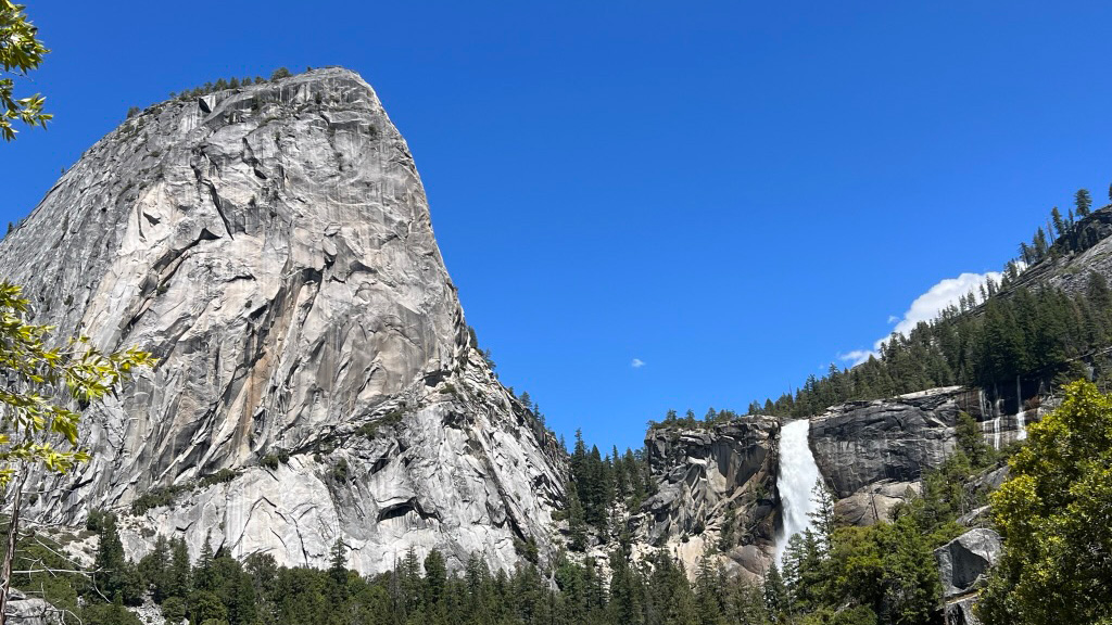
When you are done taking pictures and eating your lunch you will follow the signs toward Clark Point. My favorite view is looking back over your right shoulder at Liberty Cap and Nevada Falls as you descend. After a series of switchbacks, you will reach the point where the John Muir Trail peeled off at the start of the hike and retrace your steps back across the Vernal Falls footbridge and back to Happy Isles.

Accommodations

There are several campgrounds within the park as well as lodges, cabins, and even a luxury hotel. All require reservations months in advance. If you can get a reservation at Camp Curry or Lower Pines Campground you should count yourself lucky. Camping reservations are made through recreation.gov and lodging reservations are obtained from nationalparkreservations.com. Be aware of the size of the park when making your reservations and the amount of time it can take you to drive from your accommodation to the trailhead.

Since reservations inside Yosemite National Park can be difficult to obtain it may be necessary for you to find camping or accommodations outside the park. There are several entrances to the park. If your goal is to hike the Mist trail the entrances you will most likely use are either the Arch Rock Entrance on Highway 140 or the South Entrance on Highway 41.

If entering via 140 I can recommend Yosemite View Lodge for its location and Dry Gulch Campground if you prefer your tent. Coming from Highway 41 there are several options in Oakhurst California, many new large hotels have been built recently. If you are looking for relaxation, consider Tenaya Lodge.

Best time of the year

Without a doubt, the best time to hike this trail is in the spring after a heavy snowfall season. The snowmelt makes for a very powerful experience. The summer brings with it large crowds of tourists from all over the world. Glorious golden leaves will highlight your hike in the autumn. Keep in mind, in the winter sections of the trail are closed and hikers are required to hike the winter route.

Good to know

Reservation: The necessity for a reservation is fluid. The park frequently changes its policy on reservations so you must check the website before going. Generally speaking, reservations are not required on weekdays except for in the summer. It is always necessary to have a pass to enter a National Park. I recommend purchasing an annual America the Beautiful Pass. It will pay for itself in no time. It is always a good idea to check the park’s webcams and keep your expectations realistic. It’s never fun to visualize a fabulous view only to arrive hours later and find that visibility is bad due to weather or smoke.

Water resources: There is a potable water fountain at the Vernal Falls Footbridge. There is also easy safe access to the river above both Vernal Falls and Nevada Falls where you can filter water. Just be careful to look for a safe, stable place on the shore where the water is not moving too swiftly.

Restrooms: There are restrooms at Happy Isles, the Vernal Footbridge, above Vernal Falls, and at the confluence of the Mist Trail and the trail to Half Dome.

Remoteness: The bottom section of this trail is the most crowded, especially up to the view of Vernal Falls. The remainder of the trail is well-traveled, especially during spring and summer. Do not hike this trail expecting a solitary experience. Having said that, you will be able to step off the trail for a few moments of peace and reflection.

Route
Circuit
Highest point
1,817m (5,960 ft)

Want to submit a trail or make this page more complete?

Comments

Be the first one to comment on this trail!

Reply to this trail

Your email address will not be published. Required fields are marked *

Reply to this trail

Log in to comment on this trail
Always read the disclaimer

Terms of Use: important to all visitors on this website. We strive to publish high quality content and information on this website. However it’s always possible that we’re missing out on some crucial information. In spite of the fact that this route, associated GPS track (GPX and maps) were prepared under diligent research by the specified contributor and/or contributors, the accuracy of such and judgement of the author is not guaranteed. Therefore, hiking-trails.com and contributors are in no way liable for personal injury, damage to personal property, or any other such situation that might happen to individuals hiking or following this route. Should you choose to hike this trail, this is always at your own risk. Check out our guidelines for safety hiking and Leave No Trace principles at the hiking 101 page.

Download GPX

Join the community!

Login or create a FREE account 😊

With an account you can:

Download GPX files

Pin trails to your wishlist

Mark trails as hiked by you

Rate hiking trails

Comment on trails, blogs and gear reviews

Happy trails!
Login

Don't have an account yet? Register here