The tops of Shar Mountain basking in the autumn sun, part of the Macedonian Endless Trail

Macedonian Endless Trail

Sammiana Trail

About the Macedonian Endless Trail

Balkan
country
North Macedonia
length
2070 km(1286 mi)
Type of trail
Thru-hike, Long-distance
difficulty

Difficulty is highly personal. Be aware of the weather conditions as bad weather turns easier trails in difficult trails especially in the mountains.

Difficult
accommodation

Lodging means a mix of hotels, hostels or AirBnB’s.

Wild camping
terrain
Mountains, Forest, Hills
remoteness
Most of the time
Show more

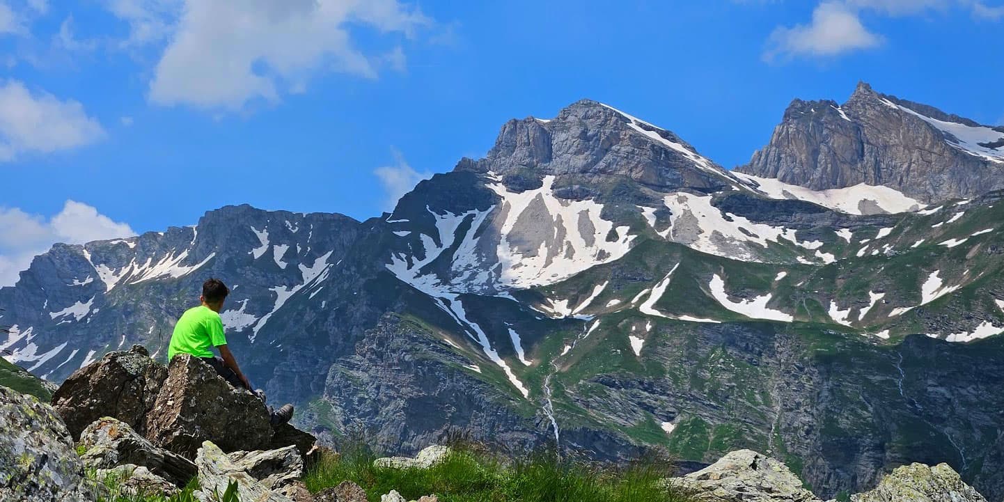
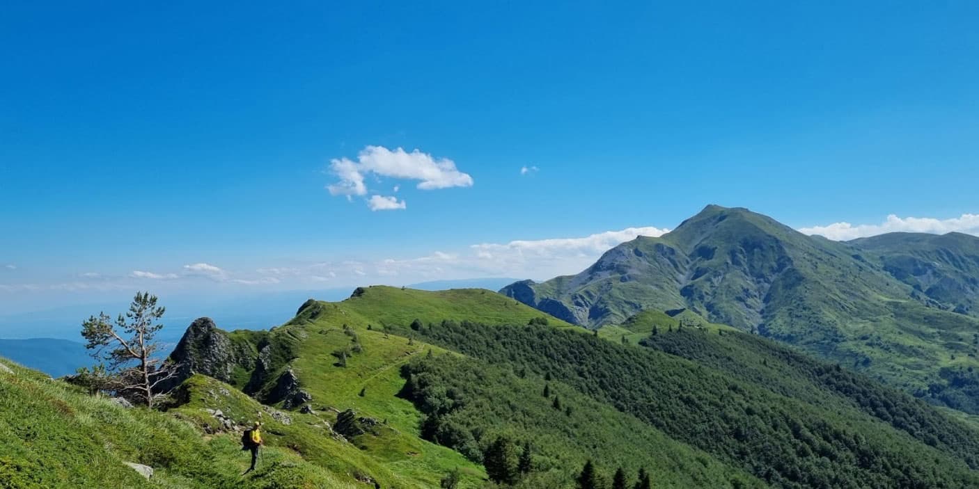
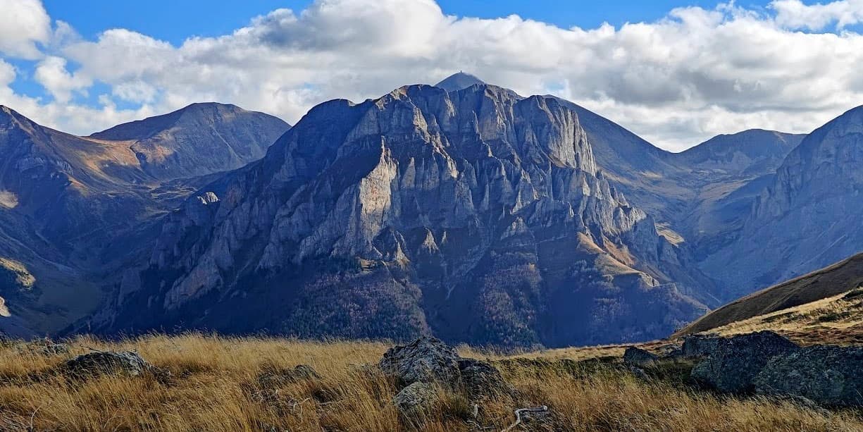
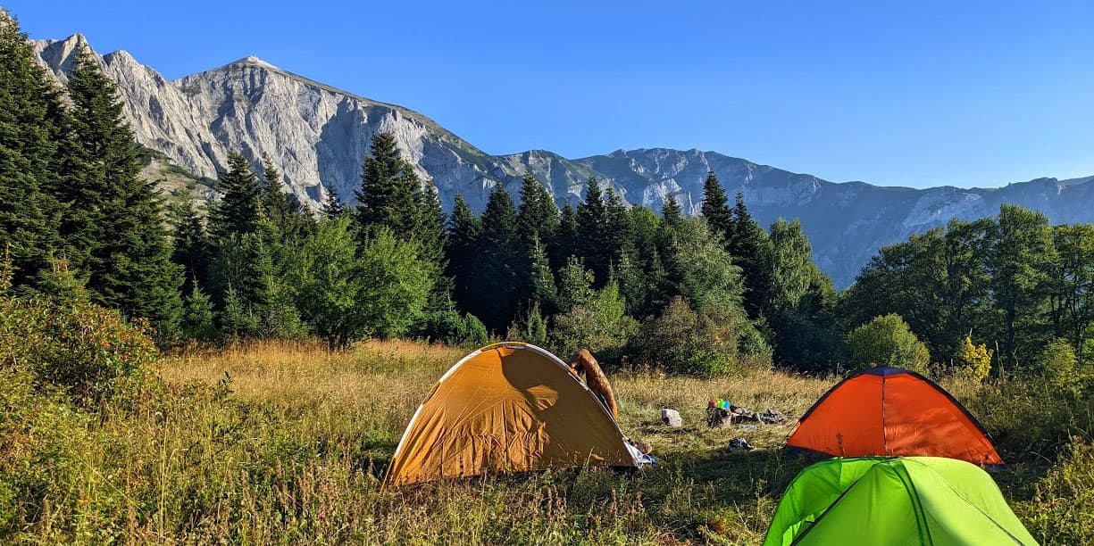
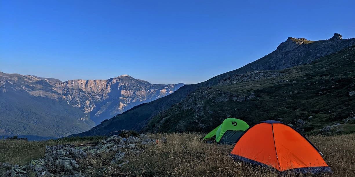
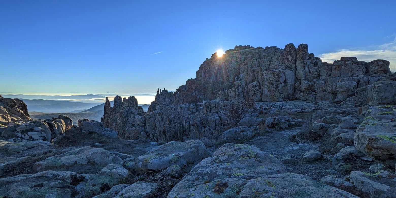
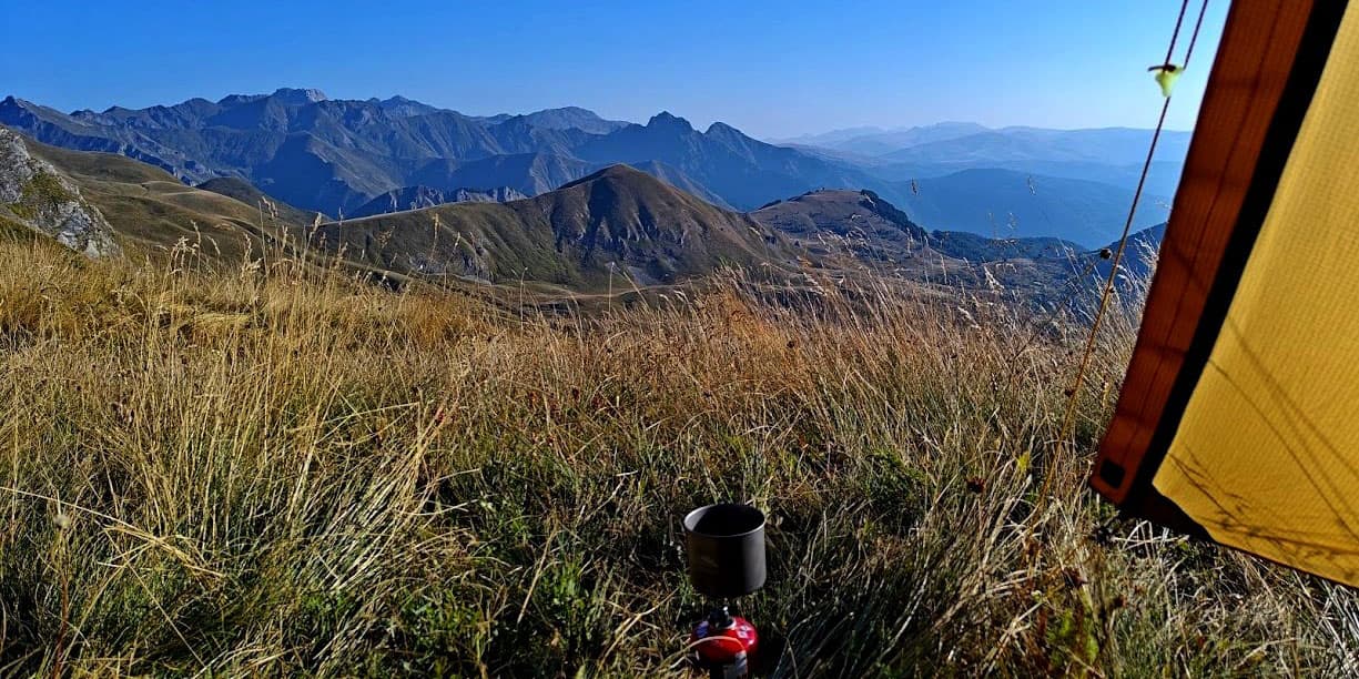
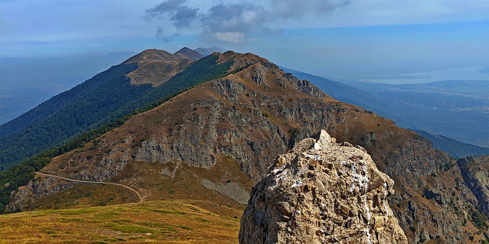
The Sammiana Trail, officially called the Macedonian Endless Trail, is a long circular route through much of North Macedonia. It is about 2,070 kilometers and takes you through the different landscapes of the country, iconic historic sites, and important landmarks. The route also purposefully avoids towns and villages to give you the most remote experience possible.

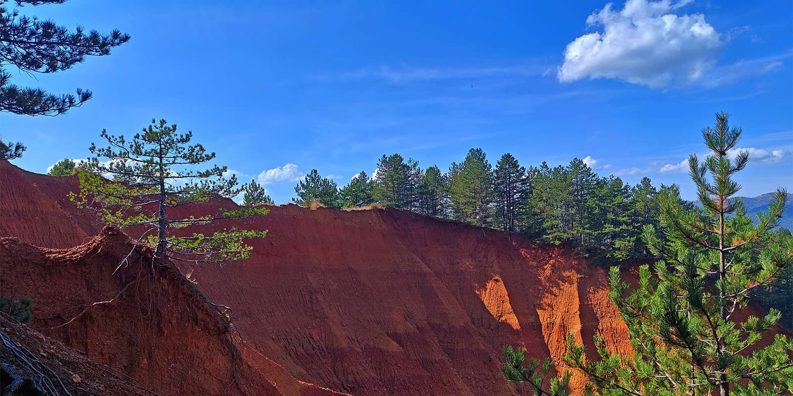
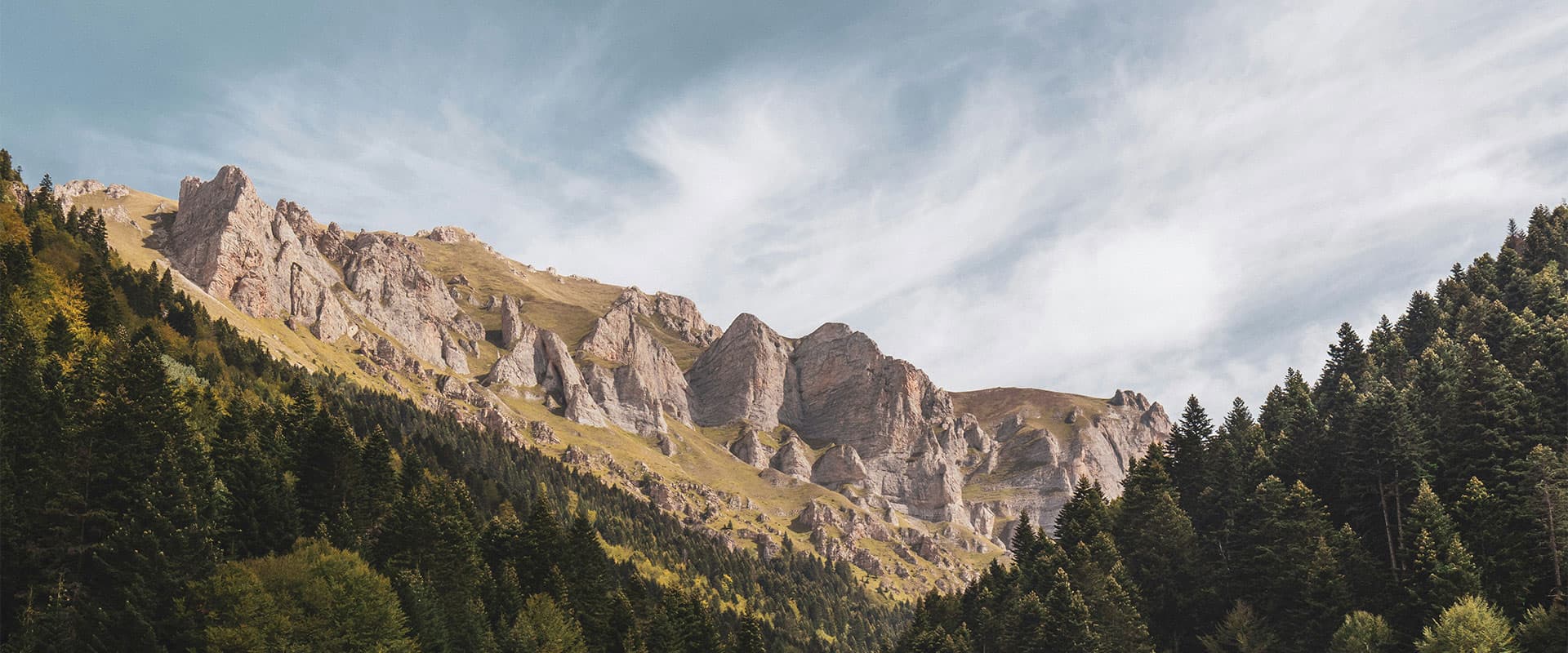
North Macedonia is in the heart of the Balkans, with 85% of its land covered in mountains. Perfect for a thru-hike! The trail climbs steep peaks and descends quickly into valleys, a good challenge if you’re an experienced adventurer. The newness of the trail means that there are few other hikers at any one time, promising some quality time with yourself and any hiking partners you bring along. As of 2024, you can hike the eastern route while the western section is still being finished.

Andrej Hochevar

Andrej Hochevar

Andrej was born in Macedonia, a country blessed with a mountainous landscape but lacking long-distance trails until recently.
He was an average hiker until he became hooked on multi-day hikes in 2015. On the trail, he prefers wild camping and seeks out routes that offer solitude and trail diversity. During his recent southbound thru-hike of the Pacific Crest Trail, he earned the trail name “OnePole” because he always hikes with just one trekking pole.

He also loves exploring new, unknown tracks and is a initiator in the creation of the new Sammiana – Macedonian Endless Trail.

View profile

The Trail

The trail’s “endless” name comes from its unique design. At its central hub, you can choose one of four directions. After 35 to 50 days of hiking, you then return to the starting point. From here, you can then explore another direction or reverse your steps. Completing the full loop takes 70 to 90 days, and the same paths look entirely different as the seasons change. The infinity-like shape of the route, along with its endless combinations, explains the name.

Sammiana itself has a wide range of environments. It passes through oak and beech forests, evergreen woods, alpine meadows, rocky peaks, rivers, waterfalls, and caves. Every day is a new view. You’ll cross some of the Balkans’ highest peaks and visit Ohrid Lake, the oldest in Europe.

The route purposefully avoids towns and villages to keep you in remote wilderness areas. This isolation means rare moments of solitude and immersion in nature, something that can be hard to come by, even on trails sometimes. The trail’s newness also means there are only a few hikers who use it, so encounters with others are uncommon.

Sammiana will be challenging for less experienced hikers. It doesn’t have consistent markings, mountain huts, or clearly defined paths in some sections. However, digital maps and the GPX will make navigation manageable if you’re up for a challenge.

This trail is a rare escape into North Macedonia’s mountains and quiet corners. It will be a time of solitude, adventure, and unforgettable views if you’re ready to take it on.

Stages

The East Wing of the Macedonian Endless Trail is 1,166 kilometers and includes the sections listed below. Find more info (including GPX) about these sections on the official trail website.

The western wing of the trail is expected to open in Autumn 2025.

East Wing:

Section 1:  Kapinovo – Skocivir, 166.1 km | 103.2 mi

Section 2: Skocivir – DemirKapija, 202 km | 125.5 mi

Section 3: DemirKapija – LebedovoEzero, 134.3 km | 83.5 mi

Section 4: LebedovoEzero – Vinica, 205.5 km | 127.7 mi

Section 5: Vinica – Palanka, 142 km | 88.2 mi

Section 6: Palanka – Stracin, 134.7 km | 83.7 mi

Section 7: Stracin – Kapinovo, 185.2 km | 115 mi

Accommodations

As a new trail, the infrastructure for overnight stays in mountain huts and guesthouses is still under development. Currently, wild camping is the primary option for most of the route. While there are some motels and villas in towns and villages near the trail, these are limited, and consistent accommodation options along the entire route are not yet available.

Best time of the year

The best time to hike the Macedonian Endless Trail is from April to mid-November, depending on the specific section and altitude. High-altitude areas above 2200 meters may have snow until late May, requiring winter gear like microspikes and ice axes. Conversely, lower-altitude sections can be quite hot in July and August, so plan your route accordingly.

Difficulty

Each section of the Macedonian Endless Trail has a different level of difficulty, ranging from easy to difficult. The easiest way to categorize the trail is “moderate” because of this. However, be aware that there are no flat sections, but very steep parts are relatively rare.

Good to know

  • Prices for food, transport, and accommodation in Macedonia are relatively low compared to the EU standard.
  • Older generations in rural areas typically do not speak foreign languages, while younger people usually have a good command of English and may also know German or another European language.
  • Macedonia is home to a lot of wildlife, including bears, wolves, and wild boar. While encounters are rare, it’s important to be aware of wildlife and take necessary precautions.
  • Water is plentiful in spring and summer. However, in the fall, some water sources may be dry, so careful planning is essential.
Route
Circuit
Highest point
2764m (9068 ft)

Want to submit a trail or make this page more complete?

Join the community!

Login or create a FREE account 😊

With an account you can:

Download GPX files

Pin trails to your wishlist

Mark trails as hiked by you

Rate hiking trails

Comment on trails, blogs and gear reviews

Happy trails!
Login

Don't have an account yet? Register here