About the Hufeisentour

Alps
country
Italy
length
87 km(54 mi)
Type of trail
Long-distance, Hut to hut
difficulty

Difficulty is highly personal. Be aware of the weather conditions as bad weather turns easier trails in difficult trails especially in the mountains.

Moderate
accommodation

Lodging means a mix of hotels, hostels or AirBnB’s.

Mountain huts, Lodging
Elevation gain
4650 m(15256 ft)
terrain
Mountains, Forest, Hills
remoteness
Most of the time
Show more

The Hufeisentour, or ‘Horseshoe Tour’, is a classic high-mountain, multi-day trail tracing a horseshoe-shaped loop through the heart of the Sarntal (Sarentino) Alps in South Tyrol, northern Italy. In seven stages you cross rugged terrain, beautiful valleys and remote ridge lines. You’ll find traditional mountain huts and small hotels along the way. From summits and passes, the trail offers amazing views of the Dolomites, the Zillertal, Stubaier and Ötztal Alps. You might even spot the Brenta group and Ortler region.

Most hikers begin in Sarntal, but the route can be reversed or entered at various trailheads. Officially, you start at Rittner Horn House and end in Sarntal, but we made a complete loop and started and finished at Sarntal. It’s a great alternative to the popular Dolomites. Way less crowded but not less beautiful!

profile picture Joy Hadders
Author

Joy Hadders

Joy Hadders is a Dutchie who takes full advantage of her free days off of work to experience as much as possible in other countries. Like many others, she found her way in hiking during the lockdown and now she’s also hooked! She enjoys discovering hidden gems with her boyfriend and dreams of a fully pinned world map. You can follow Joy on Instagram @joyhadders.

View profile

The Trail

From the starting point in Sarntal, you rise through thick alpine forest before emerging into open slopes. It’s also possible to take the bus and cable car to Rittner Horn and hike the last 40 minutes to the hut. The path ascends steadily. Expect a 1.700m total ascent, with steep but well-marked paths. The mountain hut Rittner Horn House provides amazing panoramic views and is also a popular stopover for trail runners and bikers.

The second stage connects two traditional huts perched on alpine heights. Leaving Rittner Horn, the trail starts quite easy. You’ll hike through many open terrain and forested valleys for 14 km. You’ll encounter many cows and sheep. You gain near 2.300m in elevation when you reach Latzfonser Kreuz. Here, you also find the highest pilgrimage chapel in Europe. It gives a little bit of spiritual vibes. Unique views guaranteed.

10 km is planned for the third stage. Shorter, but compact, this hike gradually descends before climbing again towards Flaggerschartenhütte. Grassy, alpine meadows transition into more rocky terrain where you have to climb a little bit over big rocks. With a last big climb, you spot the hut in relative isolation, next to a big lake. On clear days, the view stretches into multiple mountain ranges. This small and cozy hut is run by a young Indian guy who is really passionate about this place, and rightly so! The food is absolutely amazing and you can even choose between different meals.

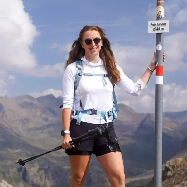
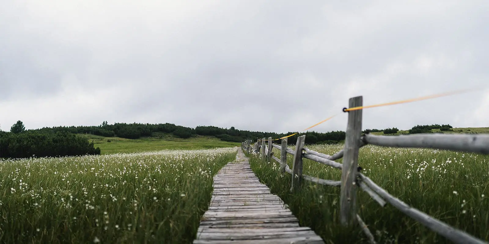
Stage four, let’s go! This is a varied, moderate ascent to the Passo Pennes (also Penser Joch), passing briefly above tree line and through high-altitude flower meadows. Even in july it’s possible to encounter some snow fields (like we did). The ascending and descending alternate today, with a few big climbs. That makes it a perfect hike. From the pass, you reach Alpenrosenhof – a lively hotel located next to the road artery over the pass. Breakfast here is super varied and good!

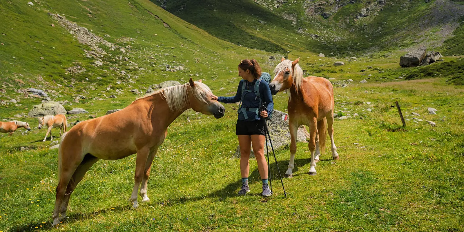
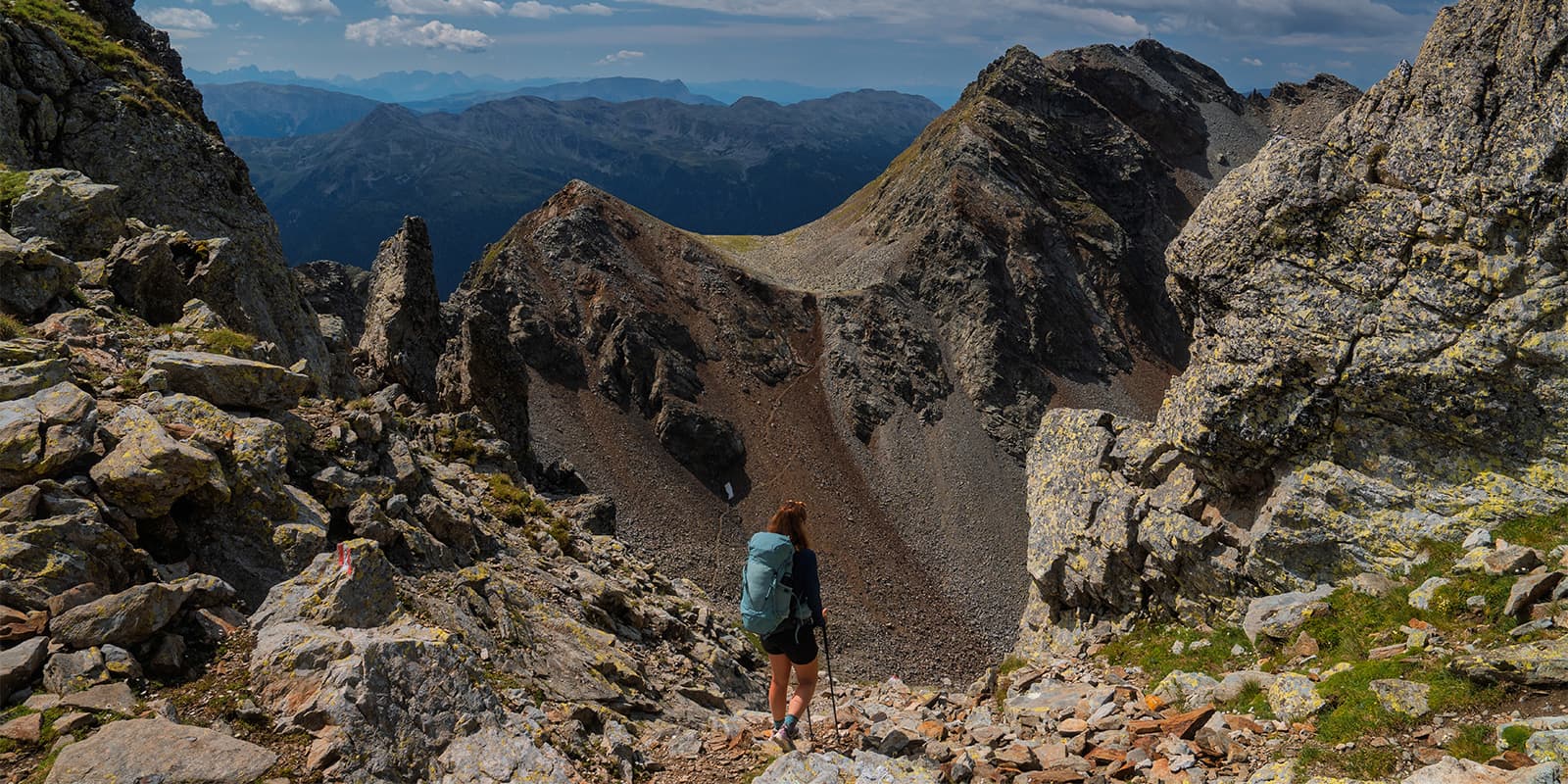
After a few minutes, you are directly in mountainous terrain when you leave Alpenrosenhof. At stage five you hike through forested slopes, alpine meadows and high peaks. Here, you’ll get to the highest peak of this trail (2.517m). You then have to descend sharply immediately and you end up in a big green valley. It’s really beautiful to walk through the valley with the big mountain peaks around you. Eventually, you finish this day at Weissenbach where you’ll find a few options to stay the night. In the case that there are no accommodations available, you can opt to go a little bit further to Gasthof Rabenstein.

A longer, more demanding day: you begin by steadily climbing toward the alpine ridge again, with sections that include rocks and narrow corridors. The route passes small farms and meadows before climbing toward higher ridges once more. The award-worthy destination is the Meraner Hütte—comforting, warm, strategically positioned just below sweeping views of the Sarntal Alps. It is a well-known hut and a perfect place to rest after a long day.

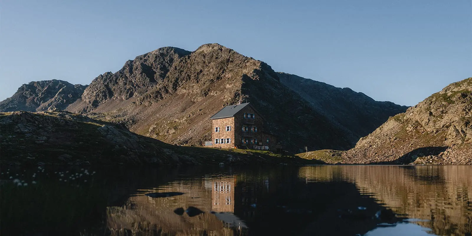
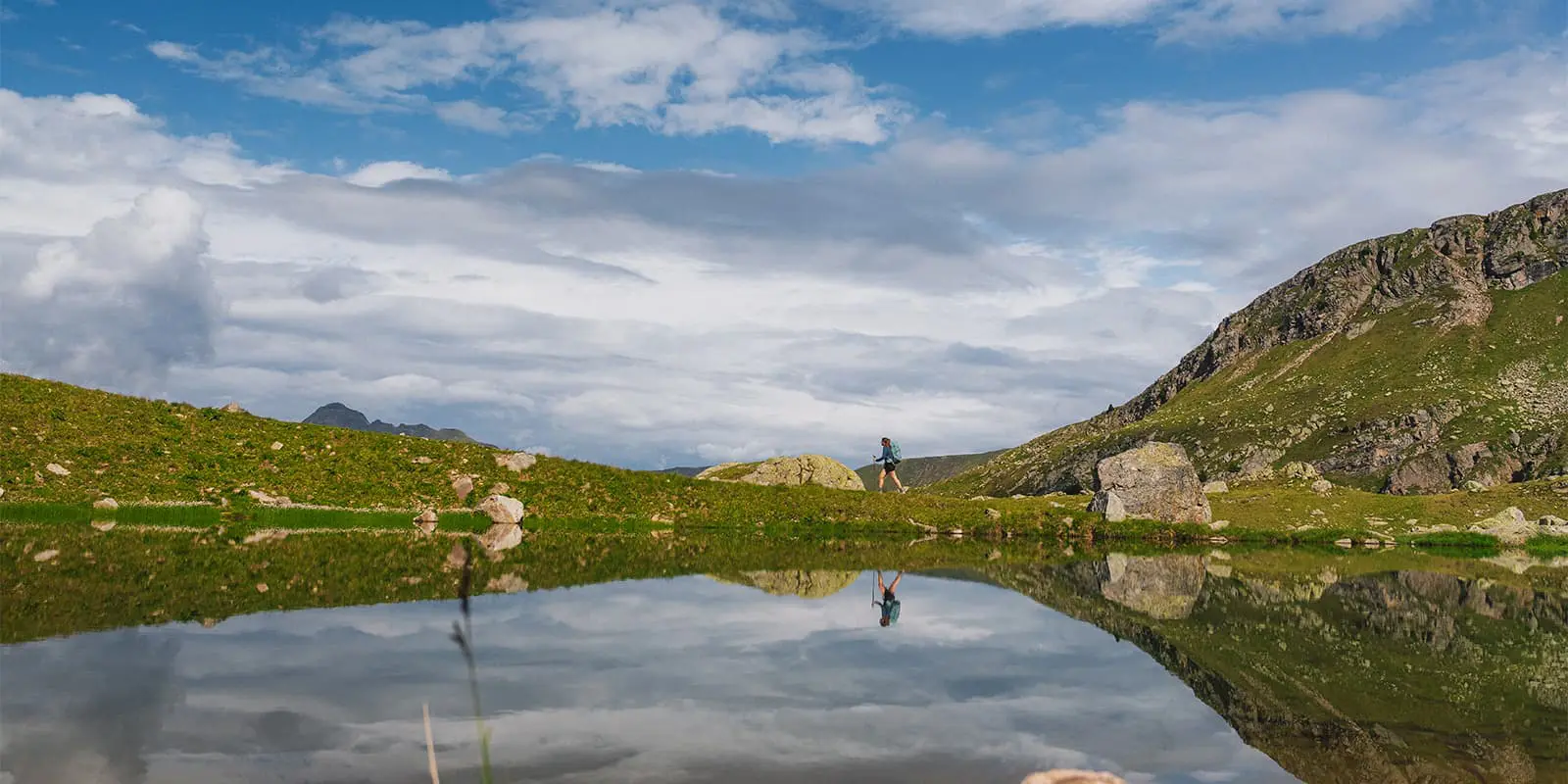
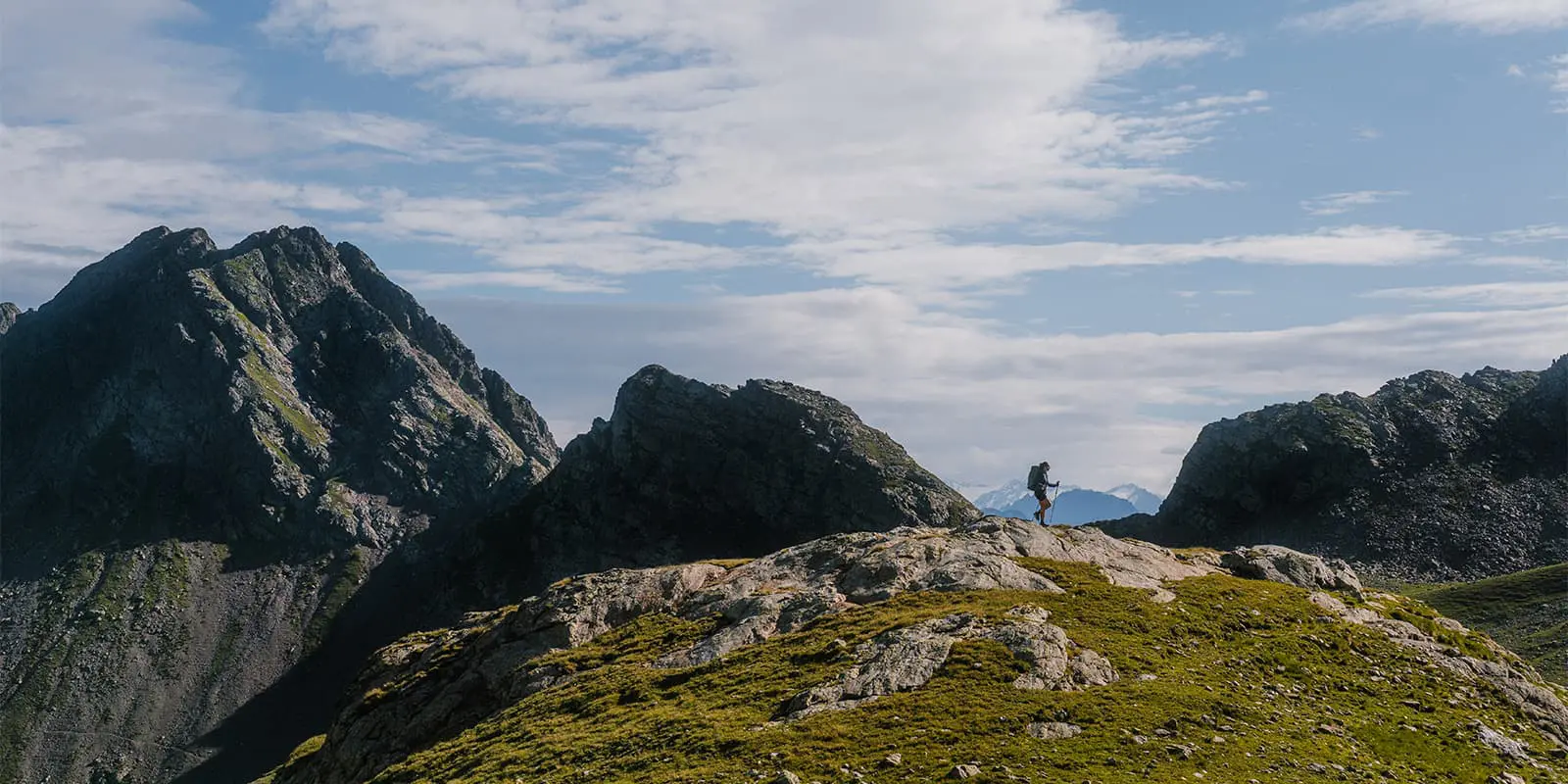
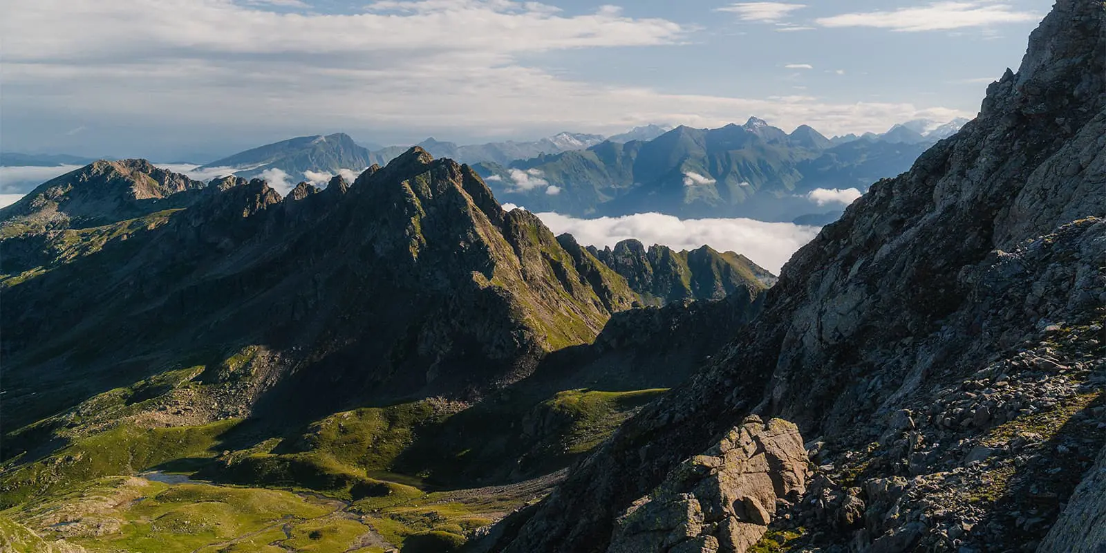
Almost there! Stage six on the Hufeisentour is a longer day (17.2 km) and mostly descends at the beginning. Then, you steadily climb towards the alpine ridge again, with sections that include rocks and narrow corridors. You’ll pass small farms and meadows before climbing toward higher ridges. After this demanding, but rewarding part, you get to Meraner Hütte where you get the views of the Sarntal Alps. Next to the hut is a great spot for lovely Italian cuisine.

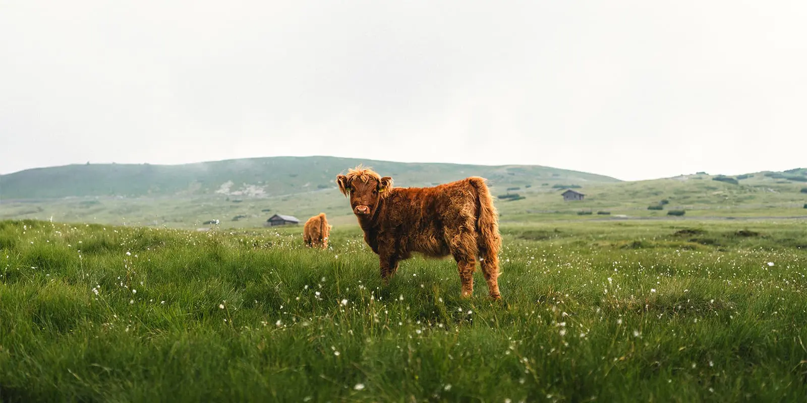
The last day takes you back to Sarntal in 9.5 km. This final stage is quite easy and the path descends steadily through forest and hills. Here, you get totally The Sound of Music vibes because of the green meadows, wildflowers and mountains in the background.

Overall, this seven-stage version of the Hufeisentour offers one of the most authentic trail experiences in the Italian Alps and is a great alternative to the busy trails in the Dolomites.

Stages

Below you can find the itinerary for the classic route of the Hufeisentour (also known as the ‘family variant). Note: this trail is not suitable for families with kids’). If you want to do the extreme variant, you go to Hirzer Hut at stage five and go from there to Meraner Hutte the next day. This stage is only for experienced hikers with no fear of heights and sturdy feet.

Hufeisentour 7-stage itinerary

Stage 1:

Sarntal – Rittner Horn House, 14 km | 9 mi

Stage 2:

Rittner Horn House – Latzfonser Kreuz Hut, 14 km | 9 mi

Stage 3:

Latzfonser Kreuz Hut – Flaggerschartenhütte, 10 km | 6 mi

Stage 4:

Flaggerschartenhütte – Alpenrosenhof, 10 km | 6 mi

Stage 5:

Alpenrosenhof – Weissenbach, 12 km | 7 mi

Stage 6:

Weissenbach – Meraner Hutte, 17 km | 11 mi

Stage 7:

Meraner Hutte – Sarntal, 10 km | 6 mi

Accommodations

When hiking this trail, you’ll mainly stay in one of the mountain huts alongside the trail. At some stages you’ll be in a small village, or at a small hotel.

Accommodations per stage

Stage 6:

Meraner Hütte

Best time of the year

The best time of the year to hike Hufeisentour is from June to (early) September. As you’re hiking in the mountains, be aware that there might be snowfields in early summer and there might be early snowfalls in late summer and early autumn. Generally, the hiking season in the European Alps is limited to the summer months when the weather is milder and the snow has melted, making the trails accessible.

Keep in mind that the weather in the high mountains can change rapidly, and it’s important to be prepared for all conditions, including rain or snow. Always check trail conditions and local weather forecasts before starting a high-alpine hike. Additionally, consider your hiking experience and skill level, as some trails in the high Alps can be challenging and require proper equipment and experience.

Safety & Gear

Because it’s a high-altitude trail, it’s necessary to prepare yourself properly. You have to be experienced in hiking long distances, you have to deal with altitudes and you need a good fitness level.

A lightweight backpack (30 – 40 liters) is ideal for carrying all your supplies, including snacks, water and extra clothing. There will be enough water resources during the trail, but it’s recommended to bring enough water with you (at least 2/3 liters). Because of the distances, elevation meters and possible temperature changes.

Essential gear includes sturdy hiking boots with good grip, a detailed map or GPS device and weather-appropriate clothing.

In this area you can experience rapid weather changes (sunshine can quickly turn into rain or fog), so first of all: check the forecast daily. Second: bring a waterproof jacket and layers for different temperatures. Hiking poles can help with balance on steep or uneven terrain.

Difficulty

The normal version is moderate. The Hufeisentour is well-marked, but it’s a high-altitude trail. You’ll experience steep ascents, rocky sections and (exposed) ridges, which require a good sense of balance and no fear of heights. Because of the significant elevation changes, you definitely need a solid hiking background and proper preparation for this trail.

Good to know

There are many options for your starting point. The easiest is to take the bus from Sarntal to the cable car from Klobenstein to Rittner Horn and hike the last 40 minutes to the hut (that’s a steep climb).

This is the normal (or ‘family’ variant). You can also do the extreme variant, where you go to Hirzer Hut at stage five. From there, you go to Meraner Hütte.

route
circuit
Highest point
2.517m (8.257 ft)

Want to submit a trail or make this page more complete?

Always read the disclaimer

Terms of Use: important to all visitors on this website. We strive to publish high quality content and information on this website. However it’s always possible that we’re missing out on some crucial information. In spite of the fact that this route, associated GPS track (GPX and maps) were prepared under diligent research by the specified contributor and/or contributors, the accuracy of such and judgement of the author is not guaranteed. Therefore, hiking-trails.com and contributors are in no way liable for personal injury, damage to personal property, or any other such situation that might happen to individuals hiking or following this route. Should you choose to hike this trail, this is always at your own risk. Check out our guidelines for safety hiking and Leave No Trace principles at the hiking 101 page.

Download GPX

Join the community!

Login or create a FREE account 😊

With an account you can:

Download GPX files

Pin trails to your wishlist

Mark trails as hiked by you

Rate hiking trails

Comment on trails, blogs and gear reviews

Happy trails!
Login

Don't have an account yet? Register here