About the Grande Traversata Elbana

country
Italy
length
53 km(33 mi)
Type of trail
Long-distance
difficulty

Difficulty is highly personal. Be aware of the weather conditions as bad weather turns easier trails in difficult trails especially in the mountains.

Moderate
accommodation

Lodging means a mix of hotels, hostels or AirBnB’s.

Lodging
Elevation gain
2260 m(7415 ft)
terrain
Mountains, Coastal, Forest, Hills
remoteness
Some of the time
Show more

Italy’s third biggest island, Elba, is a surprisingly beautiful place to hike. While its coastlines have wonderful beaches and many charming classic Tuscan-style towns, some parts of the island are protected and have a rather wild and even alpine character like Monte Capanne, the island’s highest peak. So if you are looking for a short multi-day hiking adventure paired with great Italian cuisine, the Grande Traversata Elbana is for you!

During this hike, you will cross Elba completely, and you can, of course, choose if you start from east or west. In this example I will tell you about the hike as we did it, starting from Pomonte.

man holding baby goat
Author

Chris Gaida

Hey everybody, My name is Chris, 32, I was born and raised in eastern Austria, lived in Vienna for more then 10 years, and since 2020 I am travelling the world with a bunch of stops for work, as hiking and travelling doesn’t pay the bills 😉

I did my first Trail in 2016, which was the at this time not soooo famous Fishermans Trail in Portugal. I hiked it in January and enjoyed the solitude I had during those impressive hikes. Since then I did around 10 Trails all over Europe, but mainly in the south as I really prefer the Mediterranean climate.
I have a quite big knowledge about flora and fauna, and really enjoy to share it while exploring new places and learning new things.

I also document my journey and hikes on my Youtube Channel. Have a look if you like.

View profile

The Trail

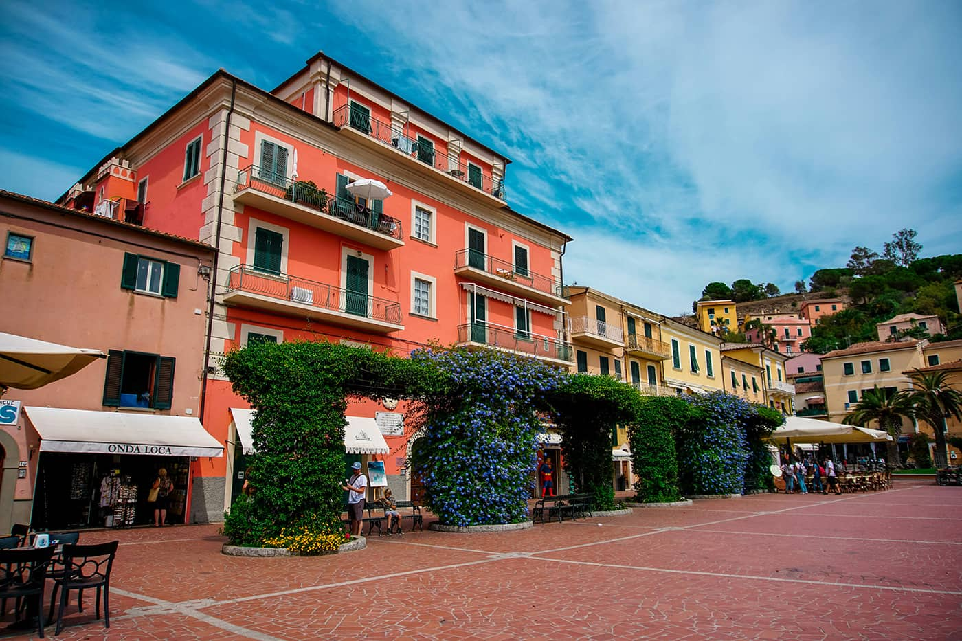
You can also choose to start the Grande Traversata Elbana from Patresi, a town a few kilometers north of Pomonte. I heard that the towns could not decide which one would host the start/goal of the trail, so the Elban government decided to split the path here. Both of the towns have little infrastructure, like shops/markets, accommodations, and restaurants,…however, keep in mind that during the off-season, especially in winter, most of these facilities are closed. It is best to collect food and water in the bigger towns like Portoferraio, Procchio, Cavo, or Porto Azzurro. The trail is mostly well-marked (red-white-red).

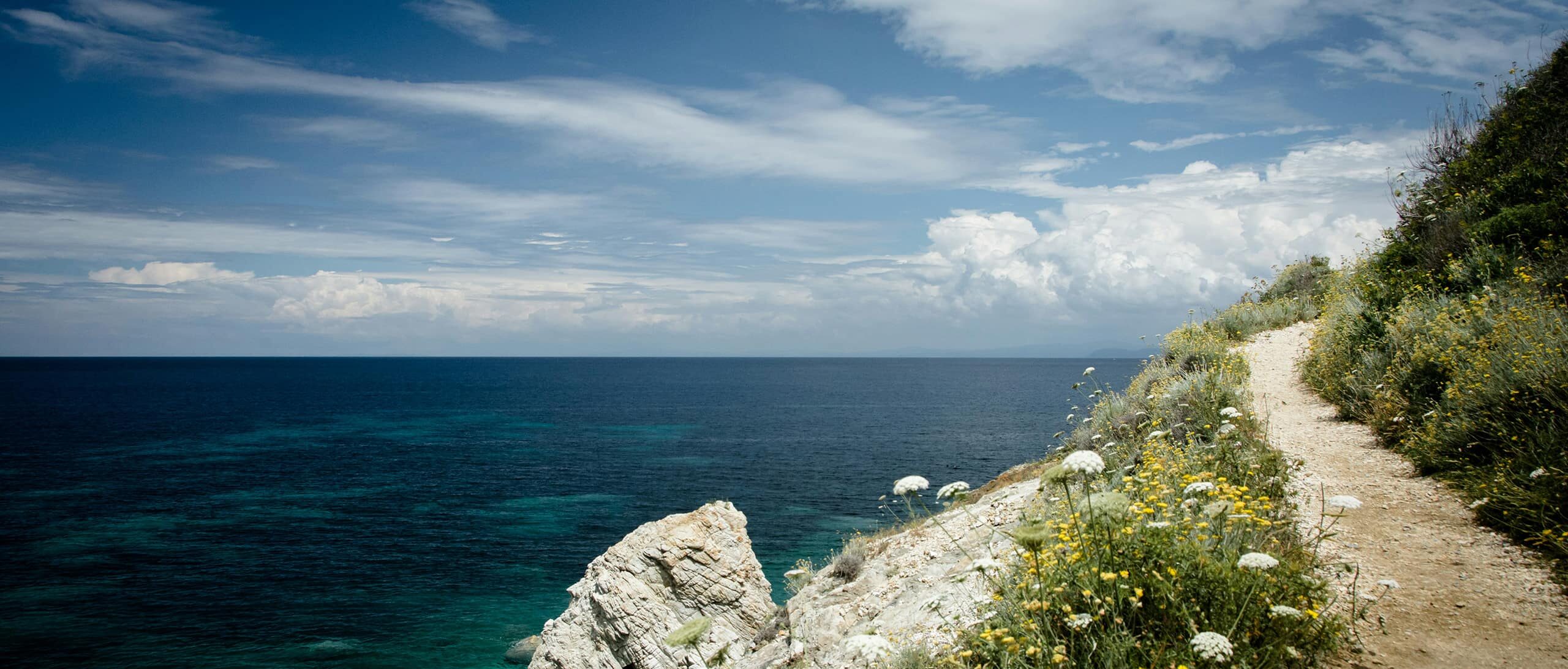
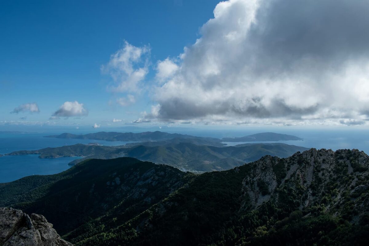
Starting in Pomonte, you will have to climb up next to Monte Capanne. During this climb, you will pass through the Monte Capanne National Park. Depending on the season you hike, you will find beautiful blooming flowers, shrubs, or even orchids. From February through March, you will find the Elban Saffron (Crocus ilvensis) which is endemic, not only to Elba but to the Mt. Capanne area. While climbing higher and higher, you can enjoy views of the surrounding islands of Corsica, Capraia, Pianossa, and Montecristo. You will notice many smaller and bigger stone huts along the way, called Caprili. These are Elban-style shepherd huts, some of which are still in use today.

The GTE becomes more rocky the higher you get. When you reach the saddle, you can decide if you want to walk up to the peak (1019m, walk west) or if you want to continue the trail without conquering Elba’s summit (walk east). You will have an additional hour to walk if you choose to hike up.

In the whole Monte Capanne area, especially at the peak, there is a very high chance you will spot mufflon. This wild sheep was introduced by humans and is not native to the area. Here it is invasive and harms the local biodiversity. However, in its native habitat (the mountains of Corsica and Sardinia) it is endangered and therefore a bit controversial on Elba.

The trail now follows path 100, which is secured with steel cables, a Via Ferrata type of section which gives the trail the surprising alpine touch. It is not long and also not hard (probably diff. A-B), but if you want, you can also pass this part on a walking trail that is just a few meters below the steel cables. What follows now is mainly descent. You will cross the Butterfly Valley, an area with many information signs about the local butterfly population and the plants they feed on.

While passing Monte Perone, you continue to descend into the town of Procchio where you will find markets for resupply, accommodations, cafes, and restaurants.

On the second day, you will pass many vineyards of Elba. Make sure to try the Passito DOCG, a classical red wine of the island. You will also not get higher than 500m, so the alpine character changes to a rather countryside one, like the usual smooth hills in Tuscany. Still, you will be able to have very nice views along this stage. At the end of the day, you will walk down to Porto Azzurro, a historical fisher and miner village with many historic buildings in and around the town.

The 3rd and last day will reward you with great views and beautiful trails! The day starts from Porto Azzurro up to the peak of Cima del Monte at 515m. An up and down brings you to Monte Strega. From here on you have great views of the Fortress of Voleterraio and the Gulf of Portoferraio. Just a few kilometers later, you will have an incredible view of the way that lies behind you, as well as Cavo and the mainland port town, Piombino, which you can reach by ferry. Now there is just a decent through some lush woods, with beautiful flora left and you will finish in Cavo, a town with beaches, restaurants, shops, and everything else you need to enjoy the island, and a ferry connection to the mainland as I just mentioned. If using the ferry, check timetables in advance as sometimes the last one already departs in the early afternoon.

Stages

Stage 1:

Pomonte – Procchio, 16 km | 10 mi, 6h

Stage 2:

Procchio – Porto Azzurro, 20 km | 12.4 mi, 6h

Stage 3:

Porto Azzurro – Cavo, 16 km | 10 mi, 6h

Accommodations

In the towns along the way, you can find plenty of accommodations, but keep in mind that due to seasonal changes, some might be closed and many of these places are not really budget-friendly. I would also recommend to book in advance.

Stage 1:

Accommodation in the town of Procchio

Stage 2:

Accommodation in the town of Porto Azzurro

Stage 3:

Accommodation in the town of Cavo

Best time of the year

The best time is probably to hike the Grande Traversata Elbana March through May and September through November. You can also hike during the winter months as there is rarely snow and ice on Monte Capanne. However, the most beautiful time for flora is March through May. I would not recommend hiking in summer as the temperatures can get very high, well above 30 degrees.

Safety & Gear

The Grande Traversata Elbana is a fairly easy-going trail, but it’s still smart to be prepared. Bring adequate layers and load your GPX onto a device with extra batteries or charging capabilities. Book your accommodations in advance and bring lots of water! We recommend at least 2 liters per day.

Additionally, you may want to bring a Via Ferrata kit for the section on day 2 if you don’t want to hike the lower variant.

Good to know

Wild camping is not allowed in Elba, especially in the national park region. However, there are some campgrounds along the way. There are nearly no dangerous animals in Elba. The local poisonous snake, Aspic Viper, is very rare. If you are lucky enough to see one, keep your distance and observe in peace. There are wild boars there, and they’re usually not aggressive if you don’t get too close.

Route
Point to point
Highest point
827m (2713 ft)
Water resources
Water refill in towns

Want to submit a trail or make this page more complete?

Comments

Be the first one to comment on this trail!

Reply to this trail

Your email address will not be published. Required fields are marked *

Reply to this trail

Log in to comment on this trail
Always read the disclaimer

Terms of Use: important to all visitors on this website. We strive to publish high quality content and information on this website. However it’s always possible that we’re missing out on some crucial information. In spite of the fact that this route, associated GPS track (GPX and maps) were prepared under diligent research by the specified contributor and/or contributors, the accuracy of such and judgement of the author is not guaranteed. Therefore, hiking-trails.com and contributors are in no way liable for personal injury, damage to personal property, or any other such situation that might happen to individuals hiking or following this route. Should you choose to hike this trail, this is always at your own risk. Check out our guidelines for safety hiking and Leave No Trace principles at the hiking 101 page.

Download GPX

Join the community!

Login or create a FREE account 😊

With an account you can:

Download GPX files

Pin trails to your wishlist

Mark trails as hiked by you

Rate hiking trails

Comment on trails, blogs and gear reviews

Happy trails!
Login

Don't have an account yet? Register here