About the Gotlandsleden

country
Sweden
length
392 km(244 mi)
Type of trail
Long-distance
difficulty

Difficulty is highly personal. Be aware of the weather conditions as bad weather turns easier trails in difficult trails especially in the mountains.

Easy
accommodation

Lodging means a mix of hotels, hostels or AirBnB’s.

Camping, Lodging, Wild camping
Elevation gain
410 m(1345 ft)
terrain
Coastal, Countryside, Flat, Forest
remoteness
Some of the time
Show more

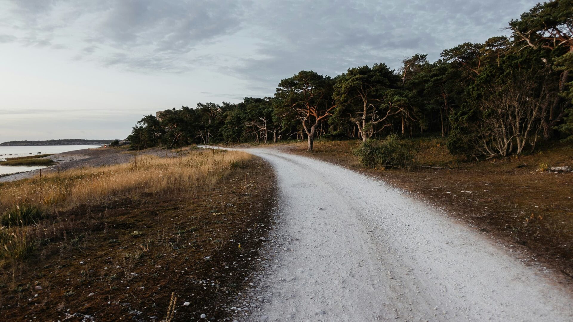
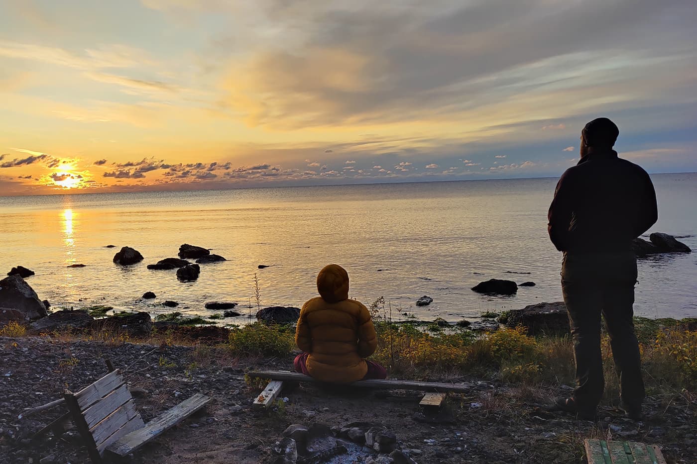
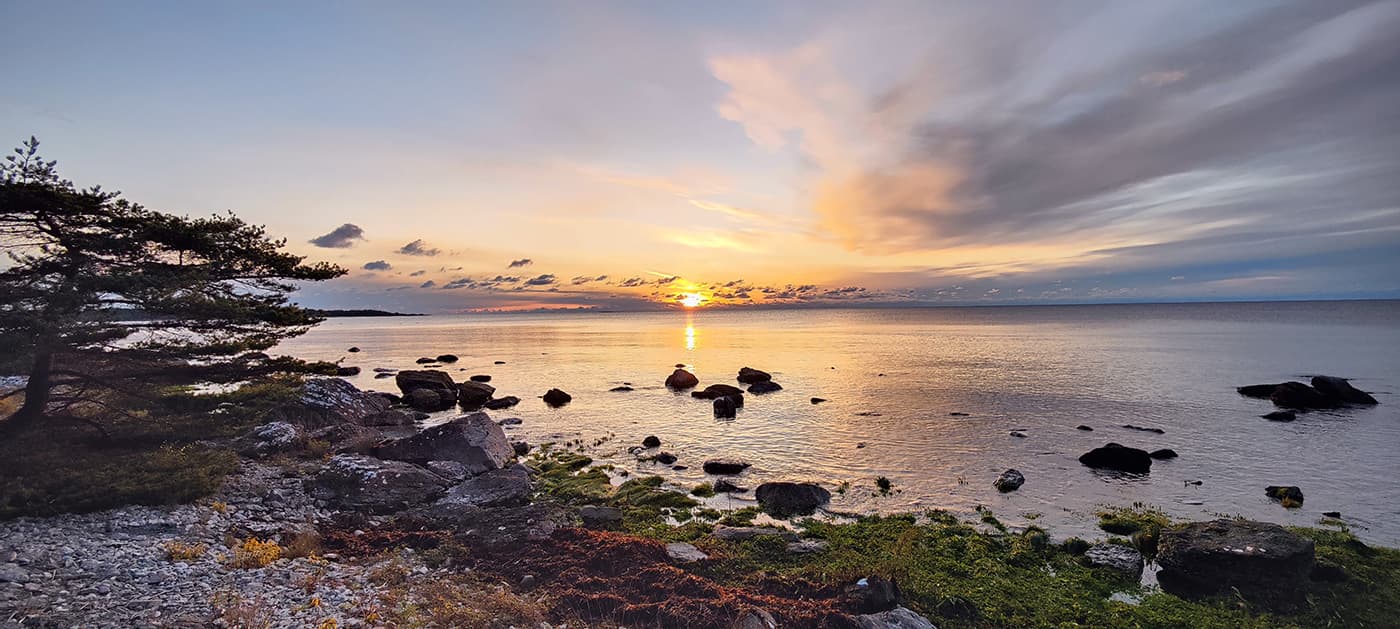
The second largest island in the Baltic Sea – Gotland – is often referred to as the Mallorca of the North due to its many hours of sunshine. The island of Gotland is quite flat, the highest elevation is approx. 82 meters, there are over 50 lakes, a well-developed network of cycle paths, and very little car traffic on the quiet side roads – ideal conditions for a relaxing, leisurely cycling or hiking holiday.

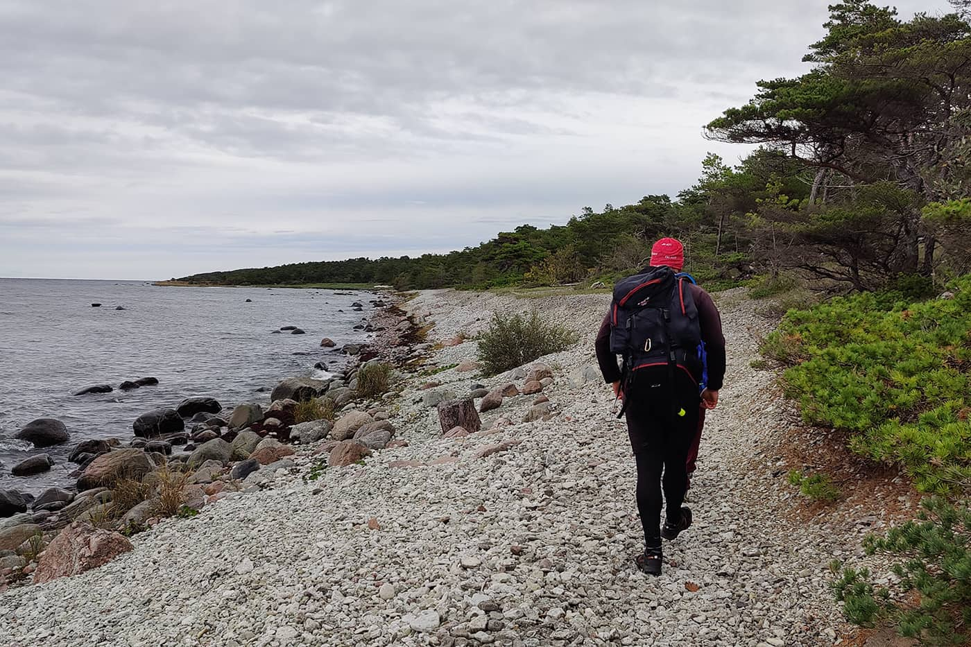
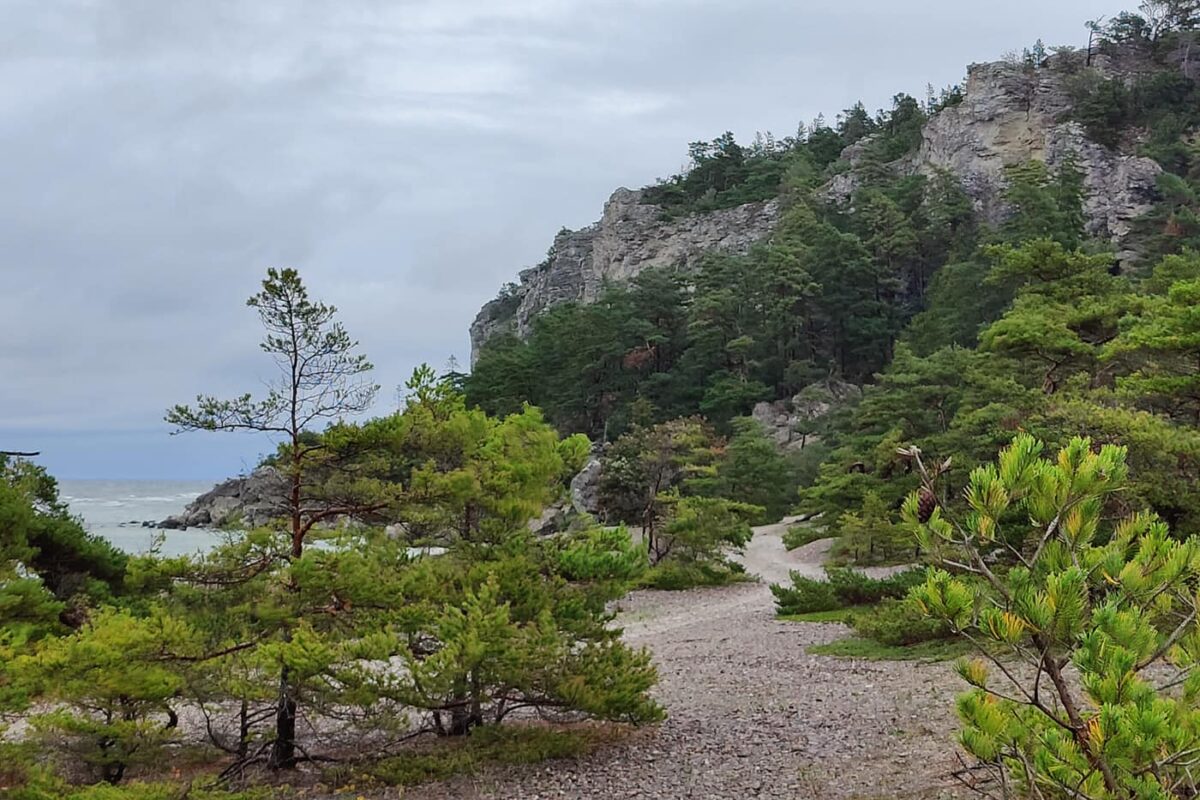
The crux about this trail is that it actually is a biking trail but many hikers set out on this trail. You can easily do it as a hike since the trail does not purely consist of asphalt. Furthermore, there is a footpath that goes around almost the whole island and you can switch to that to save your feet.

Phillip Eilmer profile photo
Author

Philipp Eilmer

Philipp Eilmer was born in Austria, a country known for the breathtaking landscapes of the Alps and unspoiled nature. He thrives in the outdoors and his curiosity leads him to explore the wonders of nature by foot. He loves the untamed trails of North America and finds solace under the beauty of star-covered skies, whether sleeping in his tent or embracing the rugged simplicity of cowboy camping. You can follow Philipp on Instagram @phips_snowcat

View profile

The Trail

The trail has long stretches of coastline featuring sandy beaches and rugged cliffs. The interior sections of the trail pass through dense forests, pastoral farmland, and open meadows dotted with wildflowers during the spring and summer months. The island’s flat to gently rolling terrain makes this an accessible route for hikers of all skill levels.

Along the coast, you might see a variety of seabirds, while the inland areas are home to deer and numerous species of birds. The flora along the trail is also noteworthy, with a mix of native and unique plant species that thrive in Gotland’s limestone-rich soil.

The island’s capital, Visby, can be easily reached by ferry from Nynäshamn (near Stockholm) and from Oskarshamn (near Kalmar) in around three hours.

During your tour around the island of Gotland, you will spend the night in Visby at the beginning and end of the tour. This gives you plenty of time for an extended stroll along the city walls, through the cobbled streets, and past the numerous old wooden houses and ruins, from when Visby was an important trading center for the Hanseatic League in the Middle Ages.

Along the Gotland coast, you will find beautiful beaches, impressive cliffs (Högklint), and secluded bays for swimming and sunbathing. Perfect for when you want a break! In some places by the Baltic Sea, especially in Sudret and on Fårö, you can admire the typical rauks, which are natural stone sculptures, that even have human features.

The island of Gotland is famous for its vegetables (asparagus), potatoes, and berries. Thanks to its many first-class restaurants, whose cuisine is based on regional ingredients and specialties, it is an interesting destination for gourmets.

Most spectacular is the southern tip of Gotland, called Sudret, with its rocky coastline and barren, impressive landscape, whose panorama is “decorated” by windmills and ancient stone walls. The Hoburgen Rock on the southern tip is a fantastic place for birdwatching.

You also can break up the tour into a northern and southern part if you want to concentrate more on one of these parts of the island. You can see these variants on the official webpage of the Gotlandsleden which is posted further down here.

Stages

There are no official stages of this trail. The good thing about Sweden is that you can camp almost everywhere. Wild camping, known as “Allemansrätten” or “The Right of Public Access,” is a well-respected tradition in Sweden that allows people to explore and camp in nature freely. So you can easily just take your tent, resupply at the towns and find the best wild camping spot every night.

Accommodations

When hiking this trail you´ll mostly camp or stay in hotels. Gotland offers a lot of good food for you to explore and regain energy. This app is a perfect guide for your information in Gotland.

Best time of the year

The best time of the year to hike the Gotlandsleden is from April to October. In summer there is a high season on the island so I´d recommend doing it either in spring or autumn to avoid a crowded island. However, in these times it can be very windy and rainy. In this case, it’s just picking which you like the most!

Safety & Gear

Because this hike has so many options, be sure to utilize resources such as this website, guidebooks, feedback from hikers who have previously tackled the trail, and advice from the local hiking association to gather essential information.

It’s critical to communicate your plans to someone you trust. Provide a friend or family member with details such as your expected start and finish times, the route you’ll be taking, and emergency contact information.

It’s also important that you stay hydrated and energized. Carry at least two liters of water and plenty of snacks to help sustain your energy levels, prevent dehydration, and avoid fatigue.

Knowledge of the trail is crucial. Bring a map and navigation aids such as a compass or GPX device to help you stay on track.

Plus, you need to dress the part! Have with you some supportive footwear, suitable clothing layers like a thermal base and a waterproof jacket, trekking poles, a well-adjusted backpack, and vital gear such as maps, a possible GPS device, and a first-aid kit. Check out our gear list for all essentials.

Finally, practice Leave No Trace principles to minimize your environmental impact. Keep to established trails, pack out all your trash, and maintain a respectful distance from wildlife and their habitats. These actions help preserve natural areas for future visitors and maintain the integrity of the wilderness.

Good to know

If you’re staying in hotels or campgrounds along the way, make sure you book these in advance. Bring enough water and a water filter so you can easily refill your water at any time.

Route
Point to point
Highest point
65m (213 ft)
Water resources
water points at streams, lakes, and villages

Want to submit a trail or make this page more complete?

Comments

Be the first one to comment on this trail!

Reply to this trail

Your email address will not be published. Required fields are marked *

Reply to this trail

Log in to comment on this trail
Always read the disclaimer

Terms of Use: important to all visitors on this website. We strive to publish high quality content and information on this website. However it’s always possible that we’re missing out on some crucial information. In spite of the fact that this route, associated GPS track (GPX and maps) were prepared under diligent research by the specified contributor and/or contributors, the accuracy of such and judgement of the author is not guaranteed. Therefore, hiking-trails.com and contributors are in no way liable for personal injury, damage to personal property, or any other such situation that might happen to individuals hiking or following this route. Should you choose to hike this trail, this is always at your own risk. Check out our guidelines for safety hiking and Leave No Trace principles at the hiking 101 page.

Download GPX

Join the community!

Login or create a FREE account 😊

With an account you can:

Download GPX files

Pin trails to your wishlist

Mark trails as hiked by you

Rate hiking trails

Comment on trails, blogs and gear reviews

Happy trails!
Login

Don't have an account yet? Register here