About the Westweg

country
Germany
length
283 km(176 mi)
Type of trail
Long-distance
difficulty

Difficulty is highly personal. Be aware of the weather conditions as bad weather turns easier trails in difficult trails especially in the mountains.

Difficult
accommodation

Lodging means a mix of hotels, hostels or AirBnB’s.

Shelters, Camping, Lodging
Elevation gain
9000 m(29528 ft)
terrain
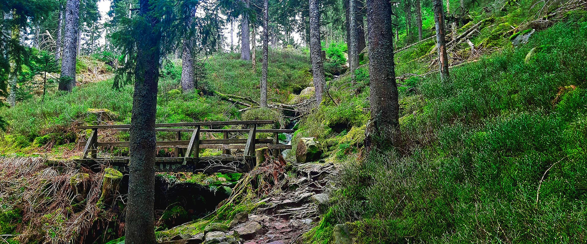
Mountains, Forest, Hills
remoteness
Some of the time
Show more

In Germany’s highest and largest contiguous low mountain range, the Black Forest, the Westweg was created in 1900 by the Black Forest Association. It runs for around 283km from Pforzheim in the northern Black Forest in a southern direction across the Swiss border to Basel and leads to peaks such as Hornisgrinde, Schliffkopf, Brend, Felbderg, Herzogenhorn, Belchen, and Blauen. The Westweg is marked in both directions with a red diamond on a white background.

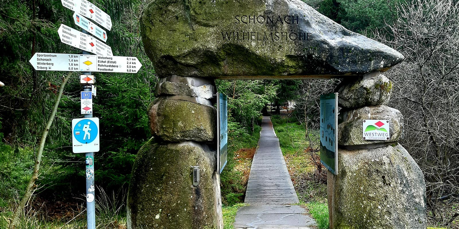
A special highlight along the Westweg is the 12 Westweg portals with information boards containing information about the stages of the Westweg. At the trailhead in Pforzheim, you pass through the first of the 12 portals – the Golden Gate. The Westweg was awarded the “Wanderbares Deutschland” quality trail seal in 2006. The Westweg is one of the Top Trails of Germany and is a section of the Nord-Süd Trail, the longest hiking trail in Germany.

Juliana Seibert profile picture

Juliane Seibert

Juliane discovered the healing effect of hiking in the winter of 2019 as a result of difficult changes in her life. In 2021, she set off on her first long-distance hike across the Alps from Oberstdorf to Merano. Since then, she has been exploring the trails of the world and takes every opportunity to be out on the trails, true to the motto: “Hiking is my destiny.”

View profile

The Trail

First, you walk about 2 kilometers from the train station in Pforzheim to the Golden Gate. Your hike on the Westweg starts from there. The trail climbs gradually right from the start and after around 16 kilometers, you will reach the Schwanner Warte, where you can see the Rhine Valley and the Palatinate Forest. You’ll then hike past the Volzemer Stones natural monument before reaching Dobeln.

On your way to Forbach, you pass several shelters where you can plan to spend the night. However, make sure you are well informed and have a backup plan, as the huts are not always accessible. From the Latschigfelsen, which is about 715 meters high, you have a good view of the Murg Valley before you reach Forbach.

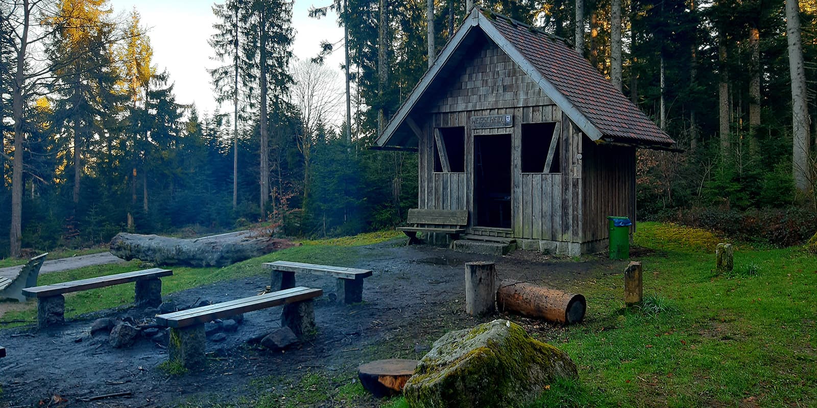
The Westweg will lead you over the historic wooden bridge in Forbach to the Wegscheidhütte after around 4 kilometers. The Wegscheidhütte is a popular shelter and has a separate sleeping area on the upper floor and a fireplace. It is one of the most beautiful huts for outdoor overnight stays on the Westweg. The steep and stony ascent to Badener Höhe begins shortly after the Wegscheidhütte. From the Friedrichsturm, you can look out over the northern Black Forest as far as the Vosges mountains. After another 10 kilometers, you’ll reach Unterstmatt, the finishing point for the stage.

The next stage takes you across several high moors through the Grindenschwarzwald. After around 4 kilometers, you’ll reach Hornisgrinde, the highest mountain in the northern Black Forest at 1164 meters. Past Lake Mummelsee, the Westweg leads you to the Ruhestein National Park Center and via the Kniebis ski area to the Alexanderschanze.

The Westweg goes along quiet forest paths past the Hildahütte and Glaswald Lake. After around 10 kilometers, you can refresh yourself at the Juliusbrunnen fountain before setting off on the last few kilometers of this fairly short stage. Above the Harkhof, on the edge of the forest, you can enjoy the view on giant chairs before stopping at the Harkhof for a snack or overnight stay.

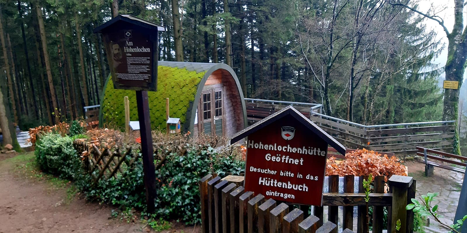
The 6th stage first takes you through dense forest to the Kreuzsattelhütte, which has accommodation in a freely accessible overnight room as well as a fountain and a barbecue area. From May to October, the Kreuzsattelhütte is open on Sundays and public holidays. After about another 7 kilometers, you will reach the Hohenlochenhütte, from where you can enjoy a fantastic view of the valley. Next to the hut, you can spend the night in the pod, a freely accessible sleeping facility. During the hiking season, the hut is run by the Black Forest Association on weekends and public holidays. On the 574-meter-high Spitzfelsen, you can enjoy the view of the Kinzig and Kirnbach Valley before you reach Hausach.

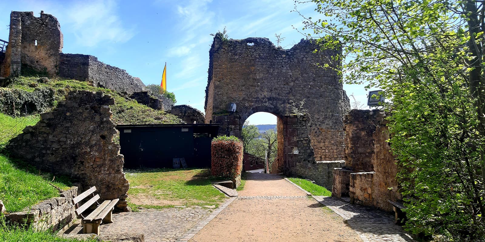
From Hausach, you’ll first hike to Husen Castle, whose history dates back to the 13th century, before beginning on a long and very steep trail to the Hasemannhütte. The large Hasemannhütte is well suited for an overnight stay. However, be prepared for nocturnal visitors and hang your food where it is safe from mice. Don’t be afraid of the noises in the hut at night when the mice dribble across the wooden floor! During this stage, you can finally enjoy the view from the summit of the almost 969-meter-high Karlstein before you reach Wilhelmshöhe.

Gentle differences in altitude and green hills await you on the 8th stage. The Westweg leads over wooden footbridges through the upland moor around the Blindensee Lake. After around 9 kilometers, you reach the Günterfelsen, a collection of granite rocks, before the Westweg takes you to your stage destination of Kalte Herberge.

On this section, you will hike past the Weißtannenhöhe at an altitude of 1190 meters, which gave its title to the crime novel of the same name. In 1928, two young women were murdered while hiking on the Weißtannenhöhe. A memorial stone on the Westweg today commemorates the two victims. Once you reach Titisee, the Westweg divides into a western and an eastern variant. The eastern variant is around 5 kilometers longer than the original western variant. Both routes take you to Basel. The following stage descriptions refer to the western stages.

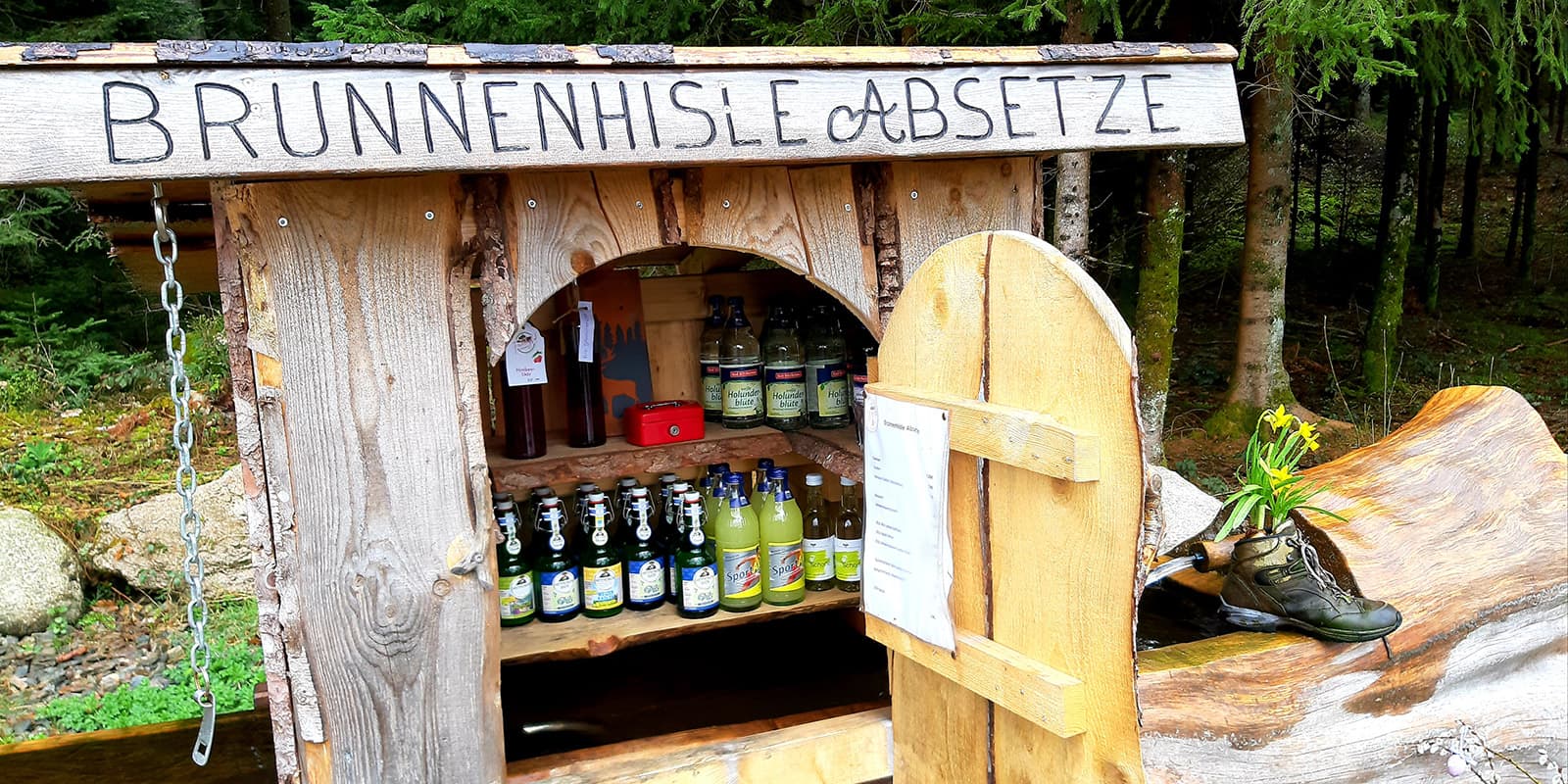
On the 10th stage, you start your hike in Hinterzarten. At the Häuslebauernhof, you can fortify yourself one last time at the drinks fountain before hiking past the Rufenholzhütte on wild and steep paths to the highest peak in Germany outside the Alps, the Feldberg at 1493 meters. From there, you can enjoy a panoramic view of the Black Forest to the Alps. The Westweg continues past the Sankt Wilhelmer Hütte, where you can stop for a break and enjoy some good food. At the end of your day’s stage, after crossing the Langenbach Valley along a stream, you reach the Wiedener Weideberge, from where you can once again enjoy the view of the Alps.

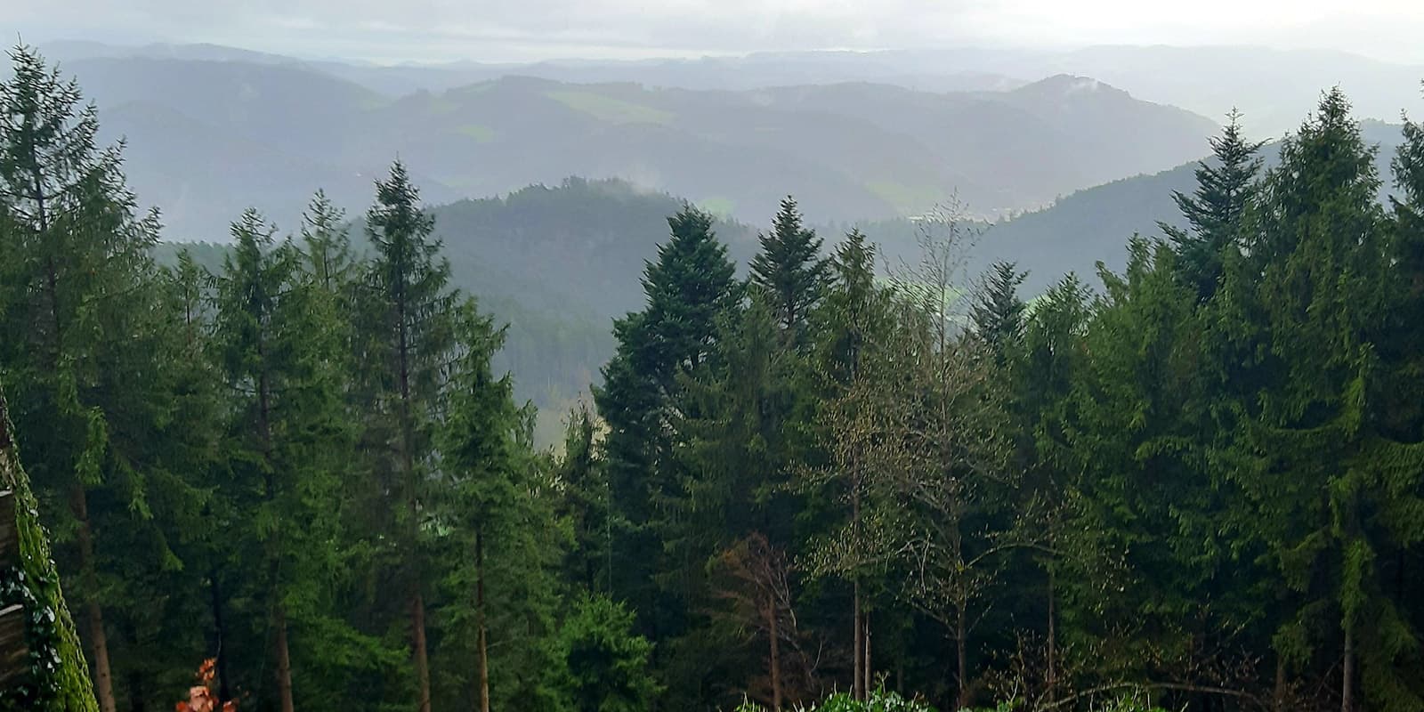
From Wiedener Eck, you’ll continue on the Belchensteig trail, which takes you to the Belchenhaus, where you can stop for some food and drink after the steep climb. Around the Belchen, which lies at an altitude of 1414 meters, you will encounter alpine paths and fantastic views of the Rhine Valley all the way to the Vosges mountains, the peaks of the Black Forest, and the Alps. Following the Westweg trail, you will pass the Dekan-Strohmeyer chapel and begin your final ascent to the Hochblauen. Passing the Hochblauen, you’ll walk past the ruins of Sausenburg Castle in the direction of Kandern.

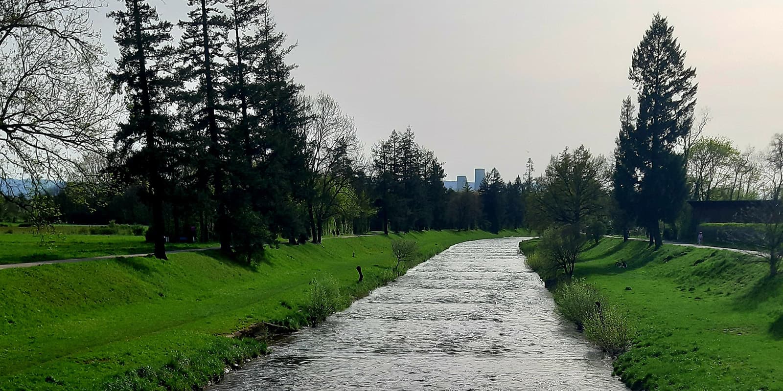
On the last stage, you’ll hike from Kandern through the Wolfsschlucht canyon, with its impressive rocky landscape, to Rötteln Castle. The history of the castle goes back over 900 years. The beer garden here is perfect to take a long break. At the foot of the castle, you will pass through the last portal on the Westweg, the Dreiländereck Lörrach. Shortly after the Ottilienkirche church, as you descend through the vineyards, cross the border into Switzerland. Now you will only see a few Westweg markings and it is time to say goodbye to the Westweg. On your final kilometers, you hike along the Wiese River to the zoo, which you cross on your way to the Baden train station in Basel. Finally, you reach the end of the Westweg.

Stages

Stages

  • Stage 1: Pforzheim – Dobel, 26.3 km | 16.3 mi 
  • Stage 2: Dobel – Forbach, 22.4 km | 13.9 mi
  • Stage 3: Forbach – Unterstmatt, 19.6 km | 12.2 mi
  • Stage 4: Unterstmatt – Alexanderschanze, 27.8 km | 17.3 mi
  • Stage 5: St. Alexanderschanze – Hark, 17.1 km | 10.6 mi
  • Stage 6: Hark – Hausach, 15.6 km | 9.7 mi
  • Stage 7: Hausach – Wilhelmshöhe, 21.4 km | 13.3 mi
  • Stage 8: Wilhelmshöhe – Kalte Herberge, 22.4 km | 13.9 mi

Western Variant

  • Stage 9: Kalte Herberge – Hinterzarten, 25.9 km | 16.1 mi
  • Stage 10: Hinterzarten – Wiedener Eck, 26.5 km | 16.5 mi
  • Stage 11: Wiedener Eck – Kandern, 32.0 km | 19.9 mi
  • Stage 12: Kandern – Basel, 26.1 km | 16.2 mi

Eastern Variant

  • Stage 9: Kalte Herberge – Bärental, 27.2 km | 16.9 mi
  • Stage 10: Bärental – Weißenbachsattel, 25.6 km | 15.9 mi
  • Stage 11: Weißenbachsattel – Schweigmatt, 18.3 km | 11.4 mi
  • Stage 12: Schweigmatt – Oberminseln, 20.1 km | 12.5 mi
  • Stage 13: Oberminseln – Basel, 24.1 km | 15.0 mi

Accommodations

There are numerous shelters along the Westweg and overnight stays are tolerated in the shelters. For example, the Wolfach Black Forest Association has set up an overnight room at the Kreuzsattelhütte and a “pod” at the Hohenlochenhütte for hikers on the 6th stage to spend the night. Please note, that some of the refuges are open refuges. This means that some of them only offer moderate protection in bad weather. For the shelters, the rule is “first come, first served.” Therefore, you should bring a tent with you to be on the safe side in case the shelter is full. An overview of the shelters, water sources, and accommodation options on the Westweg can be found on the Nord-Süd-Trail page.

From simple accommodations to luxurious wellness hotels, the Black Forest has a wide range of accommodation options. As the Black Forest is very popular for hikers, book your accommodation a few months in advance. If you don’t want to plan your stages or want to stay in a hotel spontaneously, you can use the excellent local public transport system in the Black Forest. Along each stage, you will find bus stops from which you can get to various parts of the Black Forest. As an overnight guest, you will receive the KONUS guest card at your accommodation, with which you can use public transport in the Black Forest free of charge on the day of your arrival and departure.

Best time of the year

The best time to hike the Westweg in the Black Forest is between May and October. This is when the weather conditions are most favorable and the ground is most accessible. However, remember that the weather in the Black Forest can also be changeable. Seek shelter in time if a thunderstorm is approaching. Snowfall and cold weather can be expected in the Black Forest between late fall and spring. The highest peak in the Black Forest, the Feldberg, and the ski resorts can be covered in snow until May. Your equipment should be adapted accordingly.

Safety & Gear

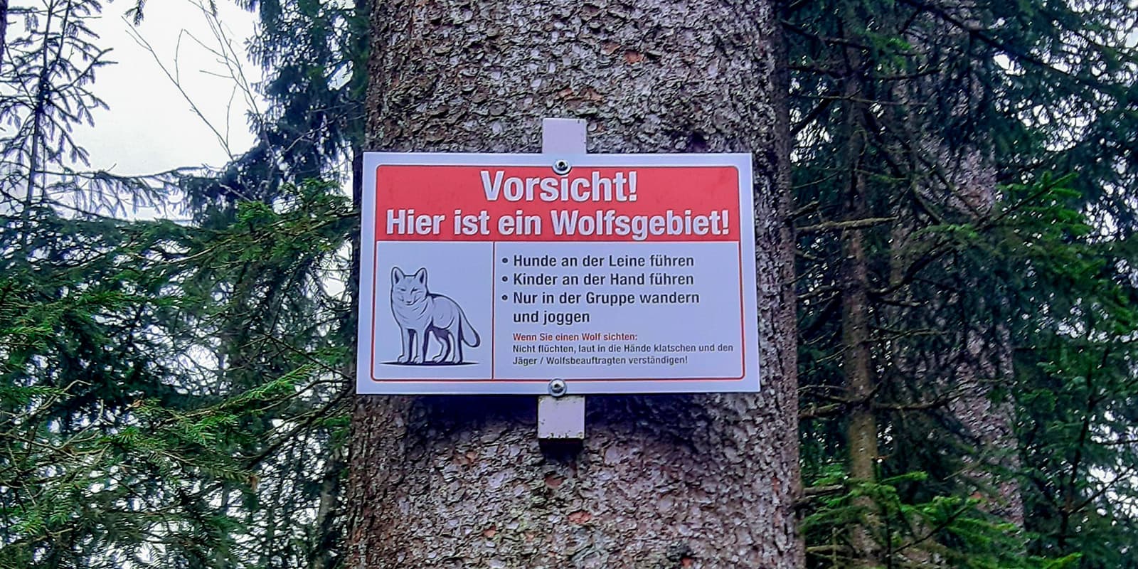
The Westweg is located in a wolf prevention area. Signs along the trail indicate wolf areas. You should be aware of the rules of behavior towards wild animals and follow them.

Find out about the weather conditions along the trail before your hike. If you want to spend the night in the shelters, make sure you have enough food and drink with you. Especially in early spring and late fall, temperatures can drop below 0°C at night. Make sure you take a warm sleeping bag with you. Although the Westweg is very well marked, it is also helpful to navigate using a navigation app.

Good to know

There are plenty of water points in the small towns, restaurants, and cemeteries along the way, water sources and streams on the trail.

About 5 kilometers before the end of the Westweg, you cross the border to Switzerland, where there are only a few markings of the Westweg. This is why it is recommended you use a navigation app for the last section. Find out in advance about the entry requirements for Switzerland, as these can vary depending on your nationality and length of stay.

route
Point-to-point
Highest point
1493m (4898 ft)

Guidebooks

westweg guidebook cover

Guidebook Westweg (German only)

View guidebook

Want to submit a trail or make this page more complete?

Always read the disclaimer

Terms of Use: important to all visitors on this website. We strive to publish high quality content and information on this website. However it’s always possible that we’re missing out on some crucial information. In spite of the fact that this route, associated GPS track (GPX and maps) were prepared under diligent research by the specified contributor and/or contributors, the accuracy of such and judgement of the author is not guaranteed. Therefore, hiking-trails.com and contributors are in no way liable for personal injury, damage to personal property, or any other such situation that might happen to individuals hiking or following this route. Should you choose to hike this trail, this is always at your own risk. Check out our guidelines for safety hiking and Leave No Trace principles at the hiking 101 page.

Download GPX

Join the community!

Login or create a FREE account 😊

With an account you can:

Download GPX files

Pin trails to your wishlist

Mark trails as hiked by you

Rate hiking trails

Comment on trails, blogs and gear reviews

Happy trails!
Login

Don't have an account yet? Register here