About the Wilderness Trail

country
Germany
length
85 km(53 mi)
Type of trail
Long-distance
difficulty

Difficulty is highly personal. Be aware of the weather conditions as bad weather turns easier trails in difficult trails especially in the mountains.

Easy
accommodation

Lodging means a mix of hotels, hostels or AirBnB’s.

Lodging, Camping
Elevation gain
1730 m(5676 ft)
terrain
Forest, Hills
remoteness
Some of the time
Show more

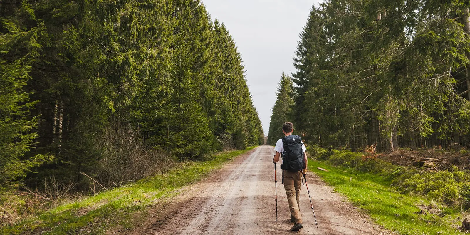
Situated in Germany, near the border of the Netherlands and Belgium, lies Eifel National Park. This 110 square kilometer park was created in 2004 and due to its young age, it is still considered a national park in development. A conservation area like this one needs at least 30 years without any human interference to qualify as an internationally recognized national park. However, this area already has surpassed 20 years of growing freely and is therefore an incredible region that every nature enthusiast needs to see for themselves.

The perfect way to explore this beautiful region is by walking the Wilderness Trail, a 4-day route allowing you to venture to all the beautiful sights and scenery the Eifel National Park has to offer. Not only will one encounter many diverse and endangered plant species, but if one is lucky, one might even stumble upon some spectacular and rare wildlife like black storks, Eurasian eagles, wolves, and wildcats.

Women holding hiking pasport
Author

Hanne Govaerts

Hanne Govaerts is a Belgian outdoors enthusiast. During the week she works a full-time office job but every moment of spare time she tends to spend outdoors, on trail. Her passion for hiking started at the early age of 16, when she impulsively went on a summer camp hiking the Wicklow Way in Ireland. Ever since, her holidays have been filled with hiking trips such as the Matterhorn Trek in Switzerland and the Kumano Kodo Nakahechi Route in Japan. Hanne’s main goal is to hike all the Belgian long-distance trails. With its +/- 10.000 kilometers of trails throughout the country, it’s a challenge that should not be taken lightly. You can follow her hiking adventures on her Instagram account @hannehikes.

View profile

The Trail

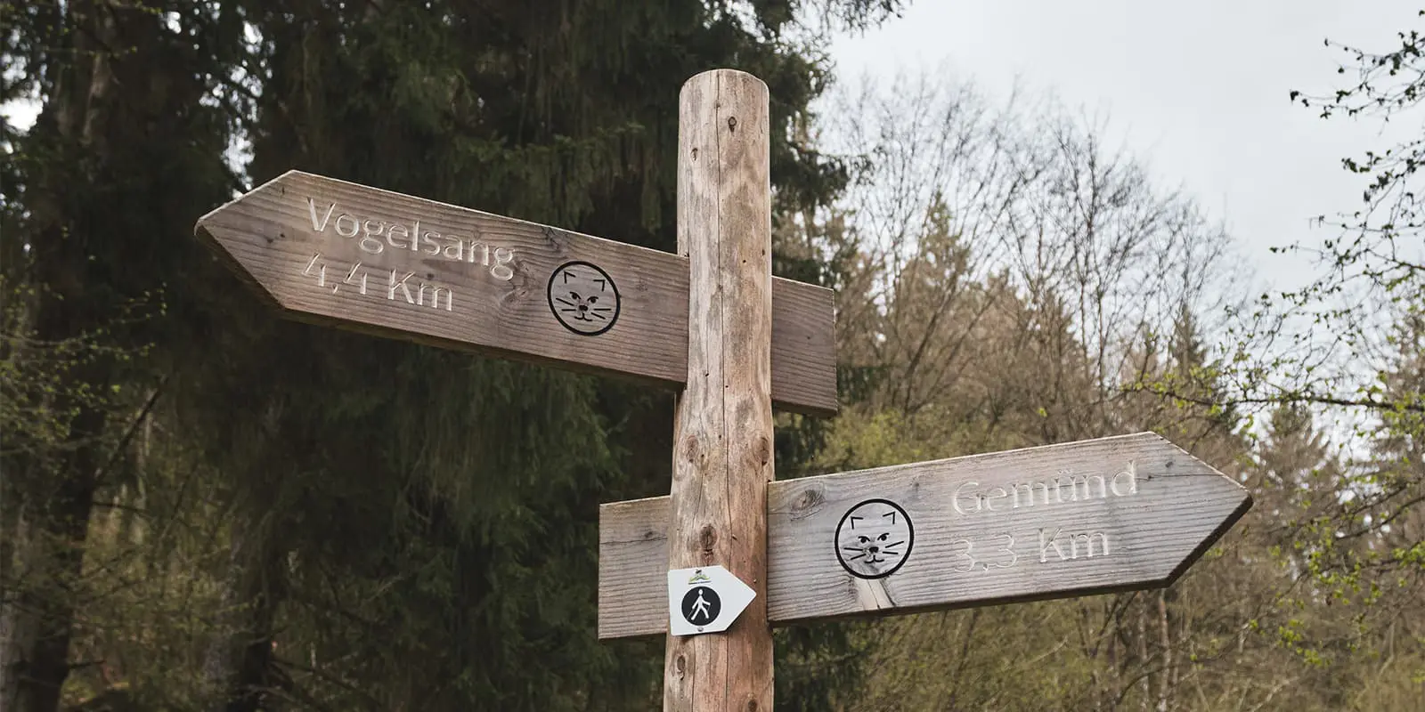
The Wilderness Trail uses a wildcat as an official symbol. The trail is marked in both directions, however most people hike it from south to north.

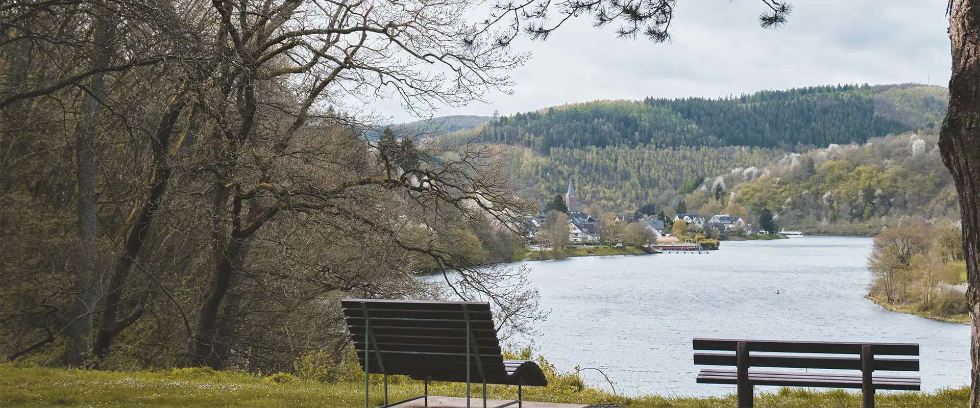
The trail starts in Höfen at the tourist office. The start is easily reachable by bus from Monschau. The first few kilometers of the trail are stunning with beautiful small and unpaved trails running through the woods and next to creeks. This first section runs along with the GR56. After these two trails split up, the Wilderness Trail will lead further to Finkenauel, where the trail will run past a small picturesque chapel in the woods, before starting the heaviest ascent of the first stage. After the ascent, the trail descends quickly back to the valley and passes an amazing view of the Rürsee before ending the stage in Einruhr.

After leaving Einruhr, the trail runs along the shores of the Rürsee for more than 10 kilometers. Once leaving the shores, you begin the long ascent to Vogelsang, an old Nazi training camp on top of a hill. Even though the Wilderness Trail will only pass Vogelsang, this peculiar site is definitely worth a visit. There’s no entry fee and one can freely roam around. There’s also a tourist office, a museum and a brasserie. After taking in all the historic sights of Vogelsang, the trail continues down through the forests and back up to Morsbach, before descending all the way to Gemünd. For the most part, the second stage runs along with the Eifelsteig.

The third stage starts off with a climb from Gemünd to Wolfsgarten, a small and charming village. The trail continues through forests and makes a stop at Abtei Mariawald. There’s a small shop located next to the Abbey where they sell books, souvenirs, local products, and, of course, their homemade beer, Nemus Mariae. There’s also a restaurant where one can enjoy a warm meal. After leaving the abbey, the trail takes you along the cemetery and through even more forests. In the last few kilometers, you will see the castle of Heimbach (Burg Hengebach) through the trees.

The last and shortest stage of the 4-day route takes you from Heimbach. You’ll hike over meadows, hills, and wide landscapes, through more woods to eventually end at the tourist office of Zerkall. Here one can buy a drink or a souvenir to look back on the adventure. Afterward, there’s the train station of Zerkall close by to head back home.

Stages

4-stage itinerary

Stage 1:

Höfen – Einruhr, 24.7 km | 15,3 mi

Stage 2:

Einruhr – Gemünd, 20.5 km | 12.7 mi

Stage 3:

Gemünd – Heimbach, 22.4 km | 13.9 mi

Stage 4:

Heimbach – Zerkall, 17.7 km | 11 mi

Accommodations

Every stage of the Wilderness Trails ends in a village. There are plenty of accommodations in these villages. There are a few examples given below, however there are more possibilities.

Lodging:

Stage 1: Hotel Am Obersee (0.2 km off trail)
Stage 2: DJH Jugendherberge Gemünd Vogelsang (on trail)
Stage 3: Art Hotel Eifel (0.3 km off trail)
Stage 4: Hotel Haus Seeblick Rursee (6.1 km off trail or by bus)

Campsites:

Stage 1: Camping Sonnenschein (2 km off trail)
Stage 2: Naturcampinganlage Schafbachmühle (9.2 km off trail or by taking 2 buses)
Stage 3: Gut Wittscheidt 1 (0.5 km off trail)
Stage 4: Camping Hetzinger Hof (2 km off trail)

Best time of the year

The region Eifel in Germany has a rather moderate climate. Therefore, the Wilderness Trail can be walked year-round but due to its sometimes steep climbs, it is preferred to hike when there is no snow or slippery trails during the winter months (around December until February/March).

Safety & Gear

Even though the Wilderness Trail is considered a beginner’s trail, some sections on every stage are quite steep and require a certain beginner’s level of fitness. Do plan your stages to your own experience, it is perfectly possible to plan a rest day in the middle of your trail since there’s plenty to do in the national park.

There isn’t always good cell phone reception on the trail, especially in the first stage there aren’t many opportunities to use the mobile network. Keep that in mind when hiking the trail.

The trail is perfectly marked in both directions and it is difficult to miss one. Therefore it is easy to hike it purely on waymarkings, but a GPX file is nice to take with you just to make sure you have a backup when needed. There is a guidebook in German with more information about the region.

Good to know

Due to the accessibility of this trail, one can also hike the trail as day hikes. It is possible to use public transport to get to the starting and ending point.

route
Point to point
Highest point
620m (2034 ft)

Want to submit a trail or make this page more complete?

Always read the disclaimer

Terms of Use: important to all visitors on this website. We strive to publish high quality content and information on this website. However it’s always possible that we’re missing out on some crucial information. In spite of the fact that this route, associated GPS track (GPX and maps) were prepared under diligent research by the specified contributor and/or contributors, the accuracy of such and judgement of the author is not guaranteed. Therefore, hiking-trails.com and contributors are in no way liable for personal injury, damage to personal property, or any other such situation that might happen to individuals hiking or following this route. Should you choose to hike this trail, this is always at your own risk. Check out our guidelines for safety hiking and Leave No Trace principles at the hiking 101 page.

Download GPX

Join the community!

Login or create a FREE account 😊

With an account you can:

Download GPX files

Pin trails to your wishlist

Mark trails as hiked by you

Rate hiking trails

Comment on trails, blogs and gear reviews

Happy trails!
Login

Don't have an account yet? Register here