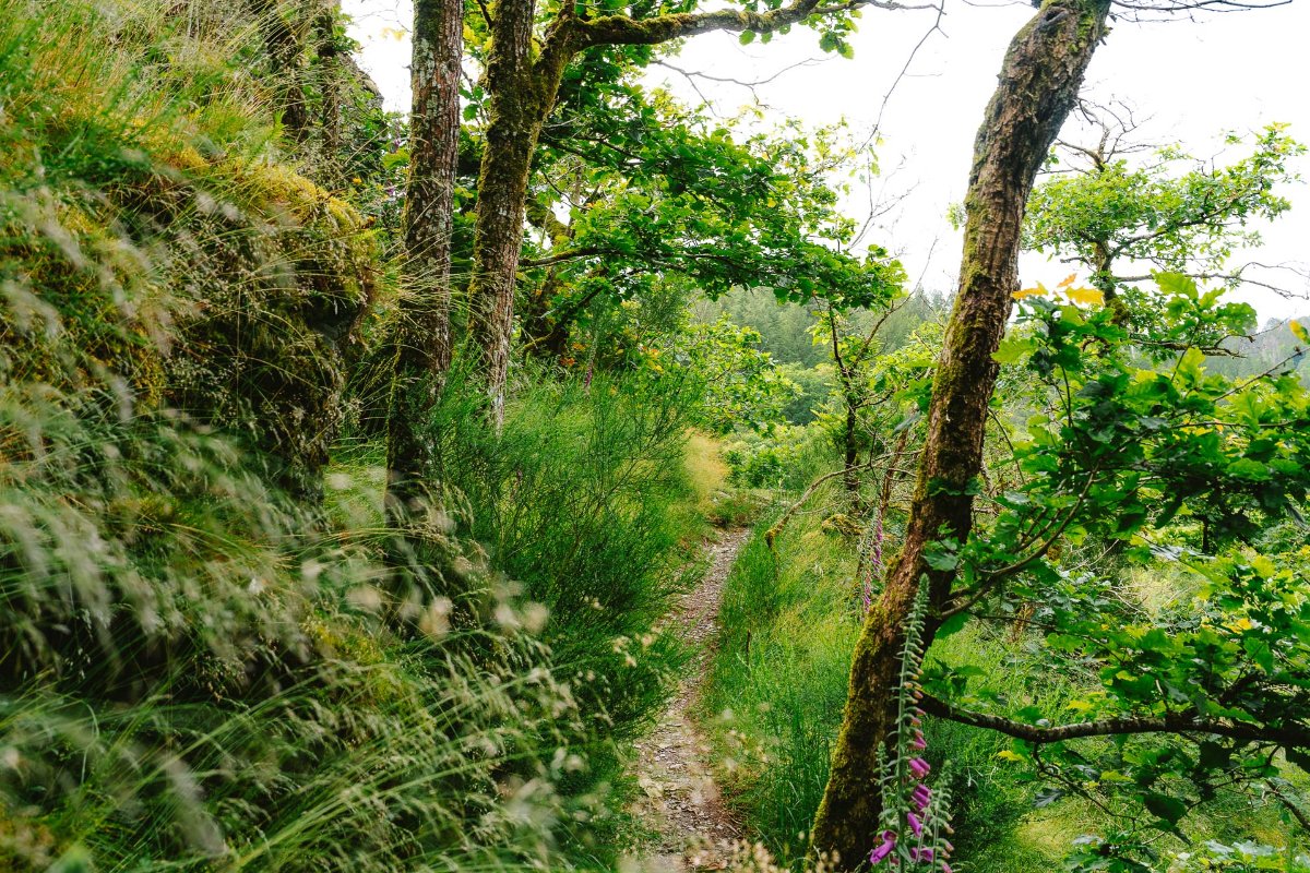
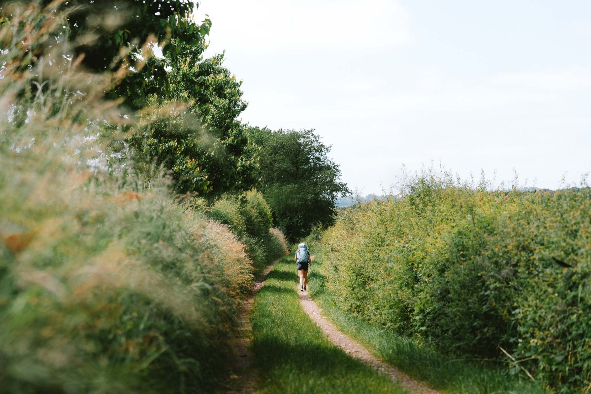
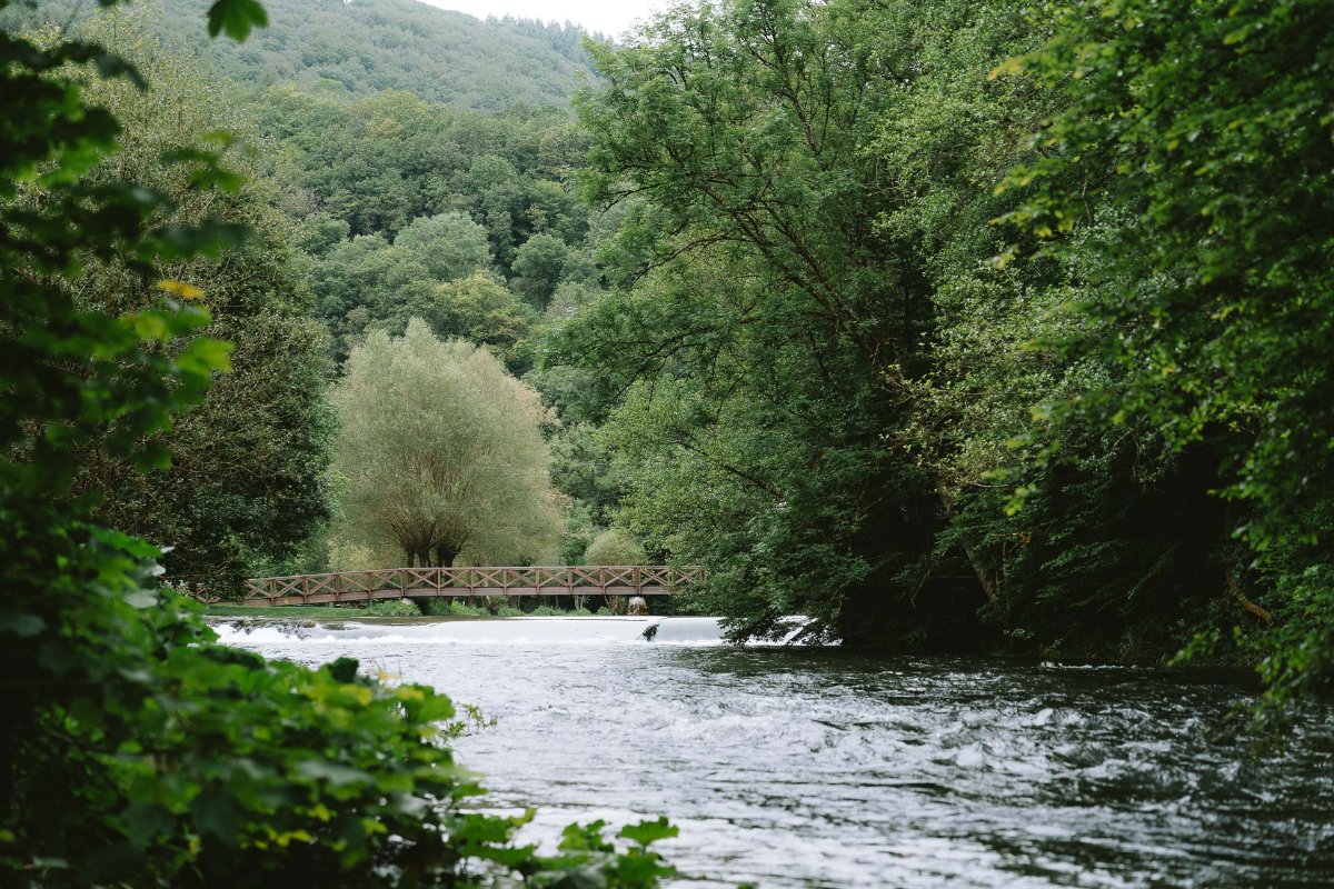
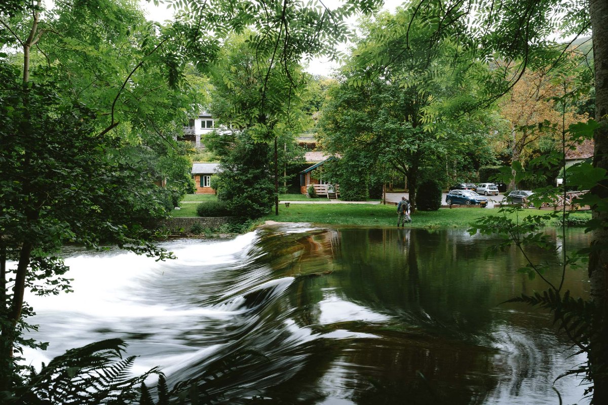
The second stage will take you 14 kilometers to Bourscheid-Moulin. If you stayed the night at the campsite, you cross the road and immediately rise considerably into a forest. There are a lot of small paths with high grass (please make sure to check regularly for ticks!). After climbing a lot you descend to a little cafe next to a waterfall. The perfect time and place for a coffee break. There’s a big chance you’ll see multiple fishermen, even in the waterfall itself. After your refuel, you will alternate walking through nature and along the road next to big cane fields. At the highest point of this stretch, there is a big old tree that was planted in 1811 in honor of the birth of Napoleon’s son. Next up there are nice parts to descend. If the water level is really high, you’ll get to a path near the campsite that’s fully underwater. You can either choose wet feet or climb a little through the side of the hill, but that’s at your own risk. The last part is just hiking along the river and train tracks.
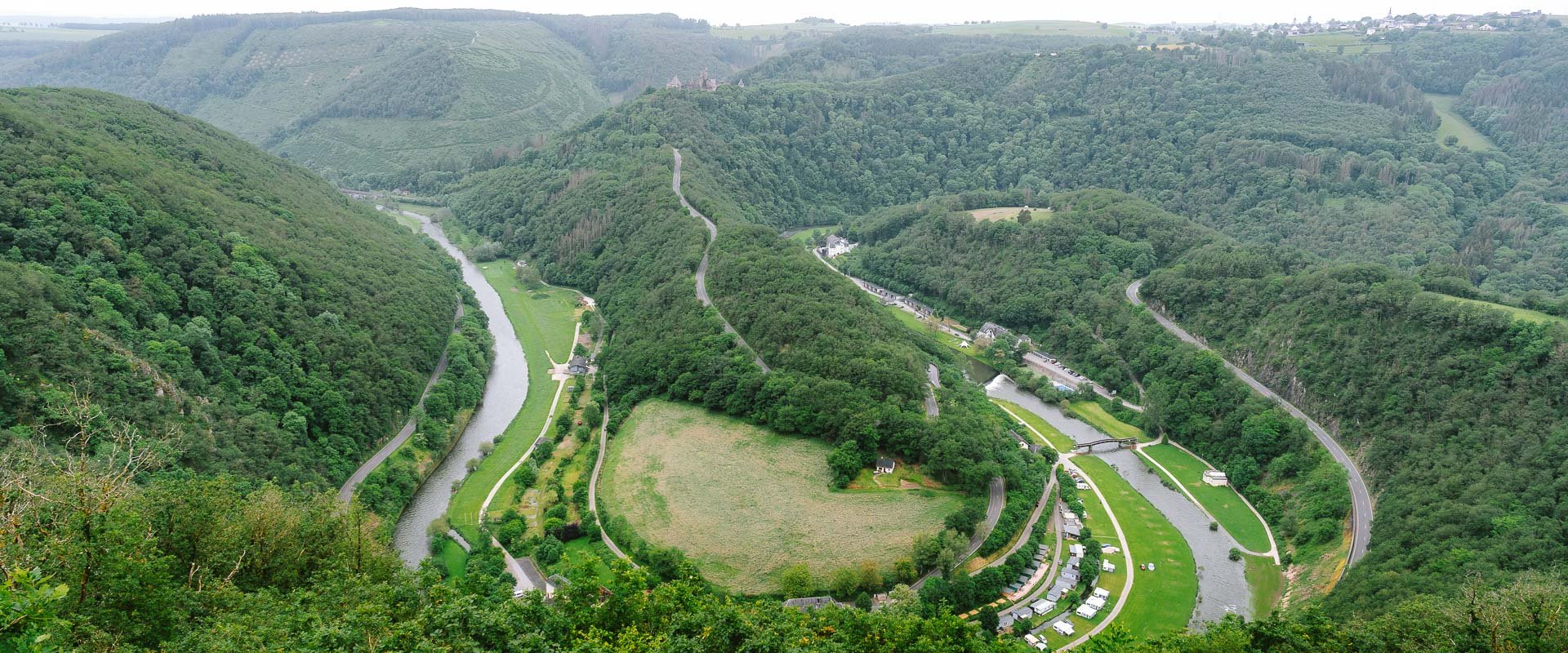
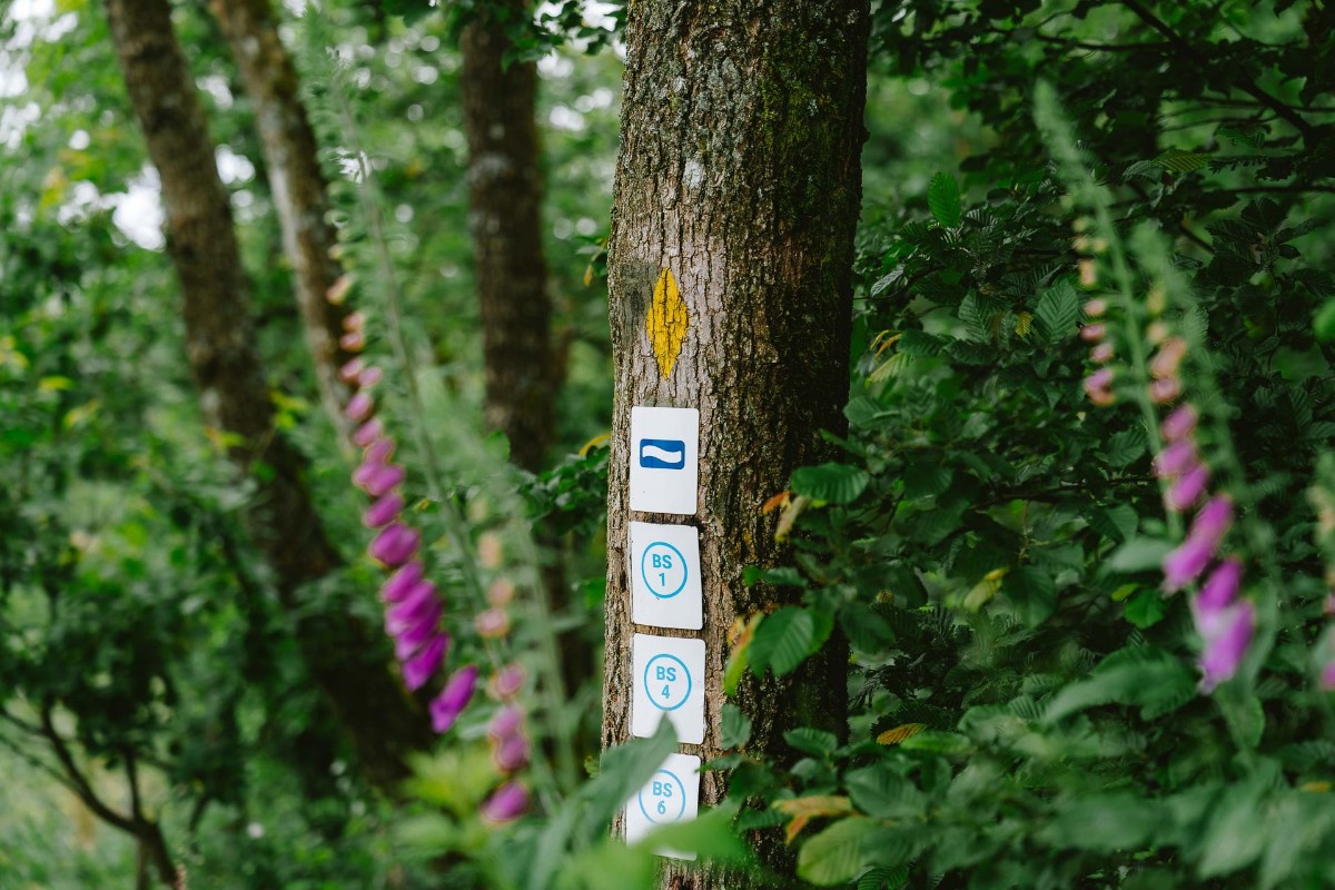
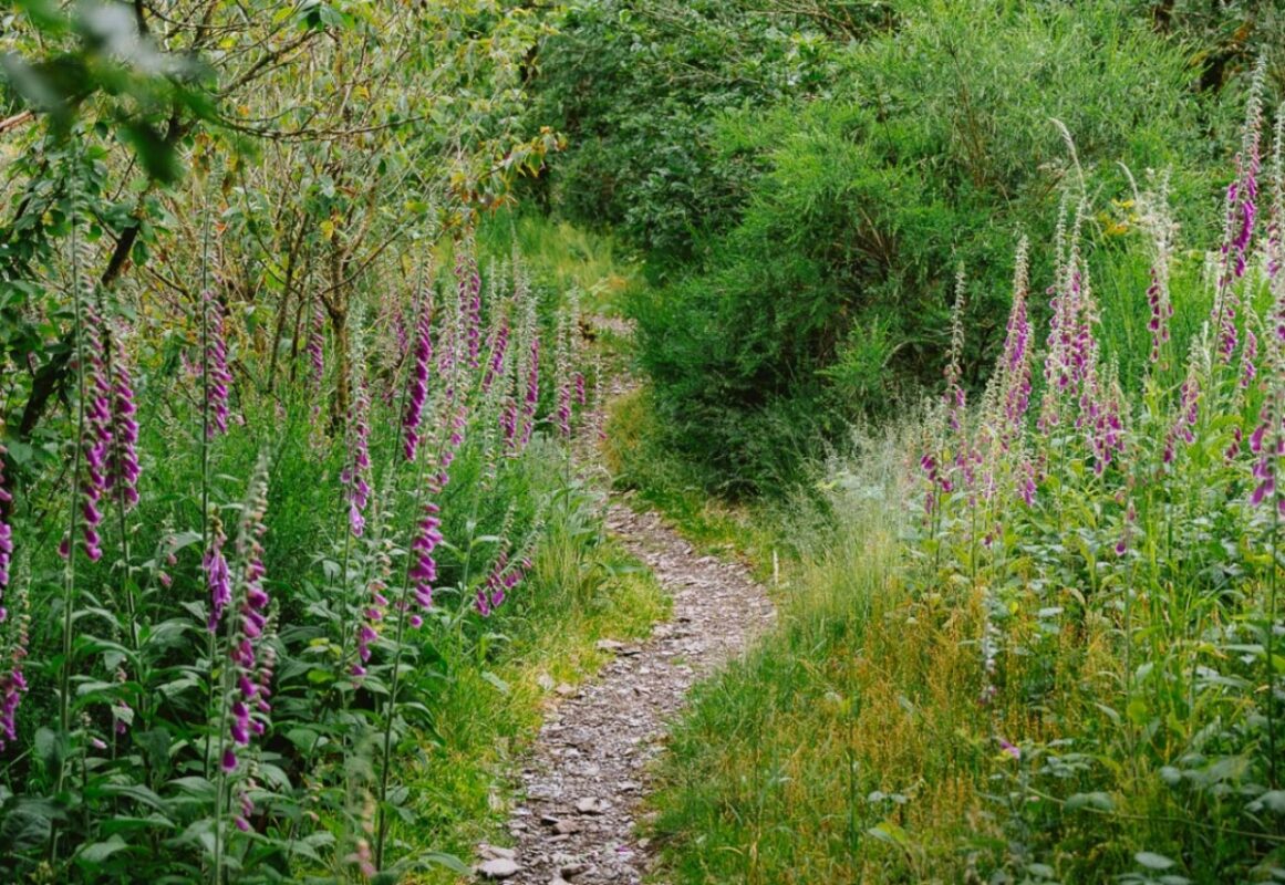
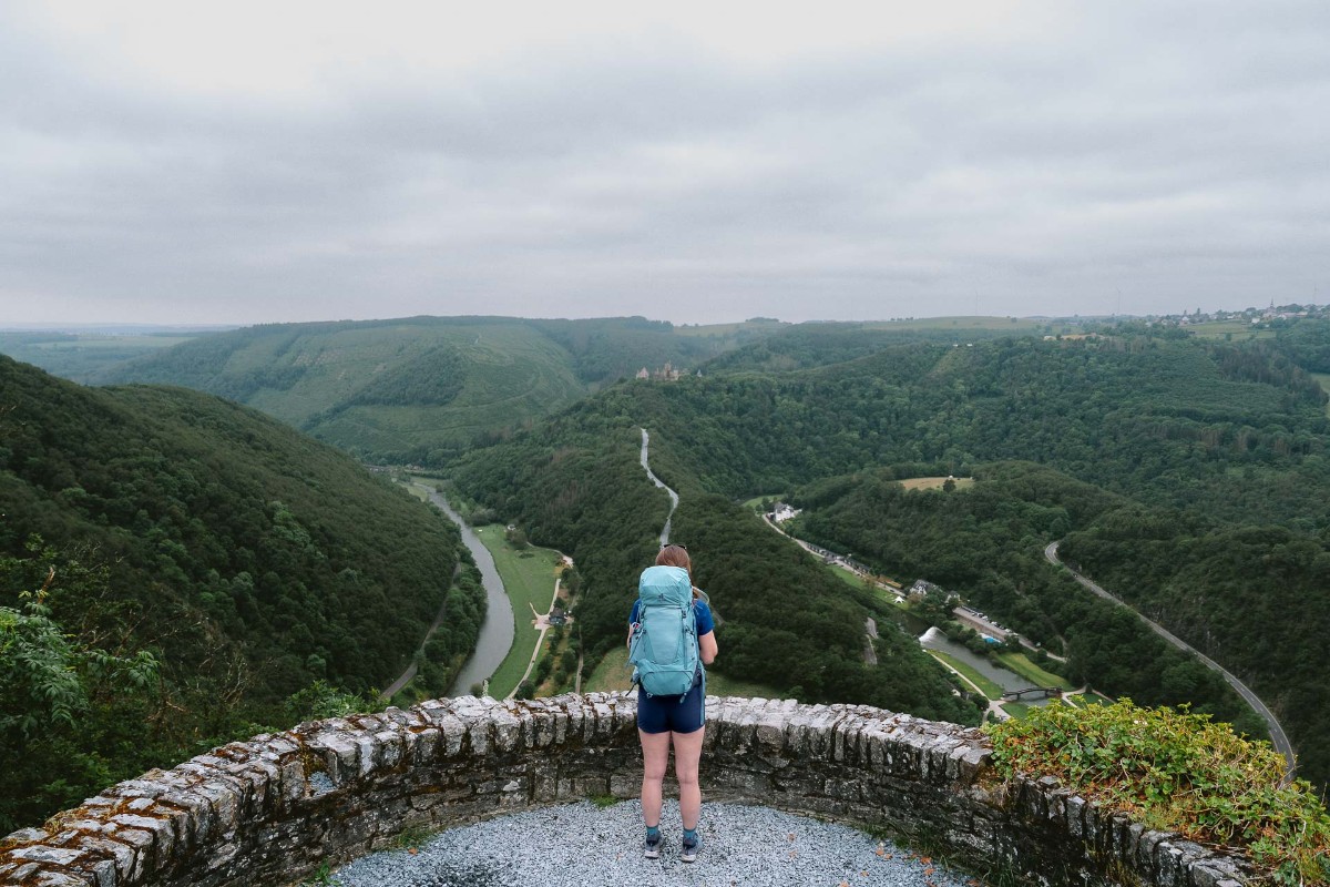
The third and final stage starts with a long climb to the well-known viewpoint, Gringlee. Waking up early and seeing the sunrise here is highly recommended. Here you get a fantastic panoramic view of the valley and can spot the castle of Bourscheid. After that, you hike through small forest paths with some varied increasing and decreasing parts. During the whole trail, you walk along purple lupin plants, but here you’ll find an abundance. It almost feels like you’re walking in a garden uphill. After a stretch through the countryside, you walk through the small village of Michelau. Over the last couple of kilometers, you hike through a forest with a lot of spruce trees and cross the Sauer River.
Finally, you’ll arrive in Ettelbruck. After a quite remote trail, you end up in the city with the train station and the city center with a couple of shops and cafes.


