About the Via Egnatia

Balkan
country
Albania, Greece, North Macedonia, Turkiye
length
1045 km(649 mi)
Type of trail
Thru-hike, Long-distance, Pilgrimage
difficulty

Difficulty is highly personal. Be aware of the weather conditions as bad weather turns easier trails in difficult trails especially in the mountains.

Moderate
accommodation

Lodging means a mix of hotels, hostels or AirBnB’s.

Lodging, Camping, Shelters, Wild camping
Elevation gain
1045 m(3428 ft)
terrain
Countryside, Coastal, Flat, Forest, Hills, Mountains
remoteness
Some of the time
Show more

The Via Egnatia Hiking Trail runs from Durrës on the coast of the Adriatic Sea through Albania, North Macedonia and Greece in the mountains, along riverbeds, past lakes and seasides, cities, villages, and ancient monuments into Türkiye, where it connects to the Sultans Trail towards Istanbul.

The Via Egnatia is the ancient East – West route from the Adriatic coast to the Bosporus. Built originally as a Roman military road in the 2nd century BC, it served for more than two thousand years during the rule of the great Roman, Byzantine, Bulgarian, and Ottoman Empires. The Via Egnatia has been a real trans-Balkan highway between East and West until well into the 20th century.

Holger de Bruin and Marietta van Attekum

Holger de Bruin & Marietta van Attekum

Holger de Bruin and Marietta van Attekum are a Dutch married couple with a long-standing connection to the Balkans, especially Greece. They both speak Greek, among other languages.

Marietta van Attekum is a psychologist, anthropologist, and linguist (modern Greek).

Holger de Bruin is a musician and musicologist. Marietta, because of her Greek and anthropology studies, has a close connection to the region. Holger, as a musician, played in the former warzones of the Balkans. They both experienced the fragility of peace in the Balkans, young countries with borders that were established only a century or even a few decades ago. Their concerns and their love for the region motivated them to start the Via Egnatia Project in 2008, aiming at promoting the ancient Via Egnatia as a symbol of the shared history to counteract the diverging tendencies that continually resurface in politics. The Via Egnatia Hiking Trail is one of the tangible results of the endeavour.

Through promotion, education, cooperation projects, and the Via Egnatia Hiking Trail, the Via Egnatia Foundation enhances awareness of the millennia of shared past among citizens and children of the Southern Balkans. Wanting to know more about the project? Check www.viaegnatiafoundation.eu.

View profile

The Trail

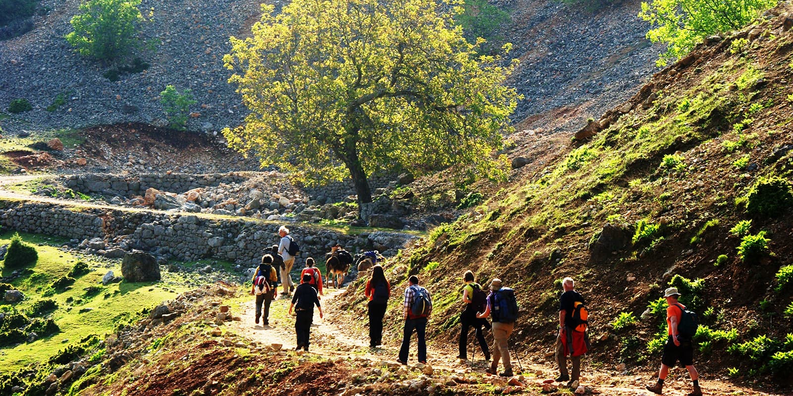
On the Via Egnatia Hiking Trail, you tread in the footsteps of Roman soldiers, crusaders, preachers and bandits, merchants and peasants, Ottoman tax collectors and diplomats, caravans with mules and donkeys loaded with all kinds of goods. You visit the cities where people of all creeds and cultures met each other in the cities and caravanserais: Greeks, Romans, Albanians, Slavs, Ottomans, Vlachs, Pomaks, Venetians, Egyptians, Roma, Jews, and many others.

Following the Roman route, the trail follows the valleys and crosses the plains.The vast majority of the trail follows unpaved roads and paths, except for original old stone pavement and only a few unavoidable tarmac sections. The scenery it passes through is a mix of fields, grazing land with sheep, hills and a few mountains, important excavation sites of ancient cities, quite a few lakes, streams, and rivers, many tiny villages, and, last but not least, the amazing cities with monuments of the Greek, Roman and Ottoman and – especially in Albania – the recent communist past. One could characterize the Via Egnatia Hiking Trail as both a nature walk and a historic and cultural experience.

Walking the ancient road, visiting the villages and cities and experiencing the traditional hospitality of the people gives you a glimpse into the amalgam of cultures that have become the Balkans. For the makers of the trail, this was a life-changing experience, and they hope to share this experience with you.

Stages

The route is divided in sections that connect important places, predominantly the original Roman stations. These stations developed into the cities of today and sit at distances of a day march of the Roman legions of the time.The division into shorter sections can be customized without any problems. Apart from the listed stages, some shortcuts, local and city walks are part of the Via Egnatia Hiking Trail. Be sure to allow some time in your schedule for the city walks described in the guide books.

Via Egnatia 18 sections

Stage 1:

Durrës – Peqin, 45 km | 28 mi | 2 stages

Stage 2:

Peqin – Elbasan, 39 km | 24 mi | 2 stages

Stage 3:

Elbasan – Qukës, 55 km | 34 mi | 3 stages

Stage 4:

Qukës – Ohrid, 46 km | 29 mi | 3 stages

Stage 5:

Ohrid – Bitola, 76 km | 47 mi | 5 stages

Stage 6:

Bitola – Kella, 53 km | 33 mi | 3 stages

Stage 7:

Kella – Edessa, 48 km | 30 mi | 3 stages

Stage 8:

Edessa – Pella, 56 km | 35 mi | 4 stages

Stage 9:

Pella – Thessaloniki, 61 km | 38 mi | 3 stages

Stage 10:

Thessaloníki – Apollonía, 68 km | 42 mi | 4 stages

Stage 11:

Apollonía – Amfípolis, 51 km | 32 mi | 3 stages

Stage 12:

Amfípolis – Kavála, 75 km | 47 mi | 4 stages

Stage 13:

Kavála – Komotiní, 120 km | 75 mi | 6 stages

Stage 14:

Komotiní – Alexandróupoli, 74 km | 46 mi | 4 stages

Stage 15:

Alexandróupoli – Féres, 32 km | 20 mi | 2 stages

Stage 16:

A: Féres – Souflí, 49 km | 30 mi | 2 stages

B: Féres – Ipsala, 23 km | 14 mi | 1 stage

Stage 17:

Souflí – Didymóteichon, 38 km | 24 mi | 2 stages

Stage 18:

Didymóteichon – Edirne, 53 km | 33 mi | 3 stages

In Edirne, the Via Egnatia Hiking Trail connects with the Sultans Trail that runs to Istanbul. 

Accommodations

The trail offers a wide variety of nightstays and other accommodations. About every 50 kilometers, you will enter a city with hotels. In between, you’ll mainly stay in simple homestays or cabins. In Greece, there are sections where you need to get transport to the nearest town to find lodging, although the situation is improving. A downloadable list of accommodations is available on https://viaegnatiafoundation.eu/.

Best time of the year

The best times of the year to hike the Via Egnatia Hiking Trail are between April and June and September and October. For those who don’t mind high temperatures, July and August are also good. However, you should have a strong hydration plan in place and all of your accommodations booked to be sure you don’t overheat.

Safety & Gear

Generally, the Via Egnatia is quite safe and only requires wearing good shoes. In spring, there may still be snow in the mountains. One section in Albania (second stage after Elbasan) may be challenging for people with a fear of heights. After rainfall, that section may be even really dangerous. This is described in the guidebook, and the section can easily be skipped.

Special care should be taken when crossing railroads and roads. People tend to drive fast in the region, even on secondary roads, and may not see you.

The few existing river crossings may be deeper than normal in early spring, and fording them may require taking off your pants. Be prepared for this!

Camping gear is not strictly necessary, but it will come in handy where accommodation is not available. You can do wild camping, camp for free near or even inside villages if you ask where to put your tent. Camping will also make your hike a lot cheaper.

Difficulty

Walking the Via Egnatia Hiking Trail is generally quite easy, with only a few steep ascents or narrow paths on steep slopes. Rainfall can change normally hard surfaces into soft mud that sticks to your shoes, making walking a lot harder.

Good to know

Although you will be treated with hospitality, few adults speak foreign languages, especially in rural areas. An exception is Albania where many men speak Greek or Italian. Turkish is also widely understood by some people.Young people often speak English. If needed, the guide books offer extensive glossaries of specific words and sentences in different languages that can come in handy.

You may need visas for some countries, (Schengen countries, Turkiye, EU, Non-EU)  depending on your nationality

There are ample flights to and fro the most important cities along the route: Tirana (Durrës), Ohrid, Thessaloniki, Alexandroupolis, Istanbul. To get to Durrës from Bari (Italy) by ferry, you can take the night boat to arrive in the early morning.

Along the hiking trail, regular local bus/minibus services are seldom more than an hours’ walk away. From cities long distance coach services can bring you to any other city in any of the countries.

GPX

The GPS tracks are available together with the guide books via www.viaegnatiafoundation.eu

route
point-to-point
highest point
1500m (4900 ft)

Want to submit a trail or make this page more complete?

Join the community!

Login or create a FREE account 😊

With an account you can:

Download GPX files

Pin trails to your wishlist

Mark trails as hiked by you

Rate hiking trails

Comment on trails, blogs and gear reviews

Happy trails!
Login

Don't have an account yet? Register here