About the Zirbenweg

Alps
country
Austria
length
7 km(4 mi)
Type of trail
Day hike
difficulty

Difficulty is highly personal. Be aware of the weather conditions as bad weather turns easier trails in difficult trails especially in the mountains.

Easy
accommodation

Lodging means a mix of hotels, hostels or AirBnB’s.

Lodging, Mountain huts
Elevation gain
200 m(656 ft)
terrain
Mountains, Forest
remoteness
Some of the time
Show more

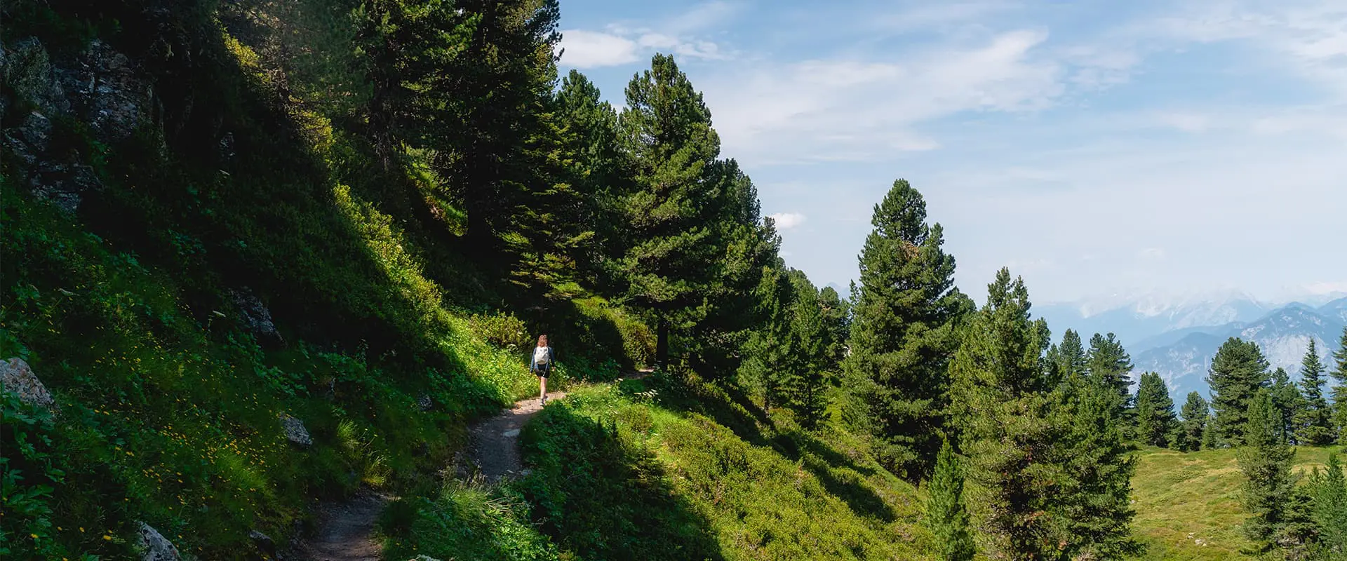
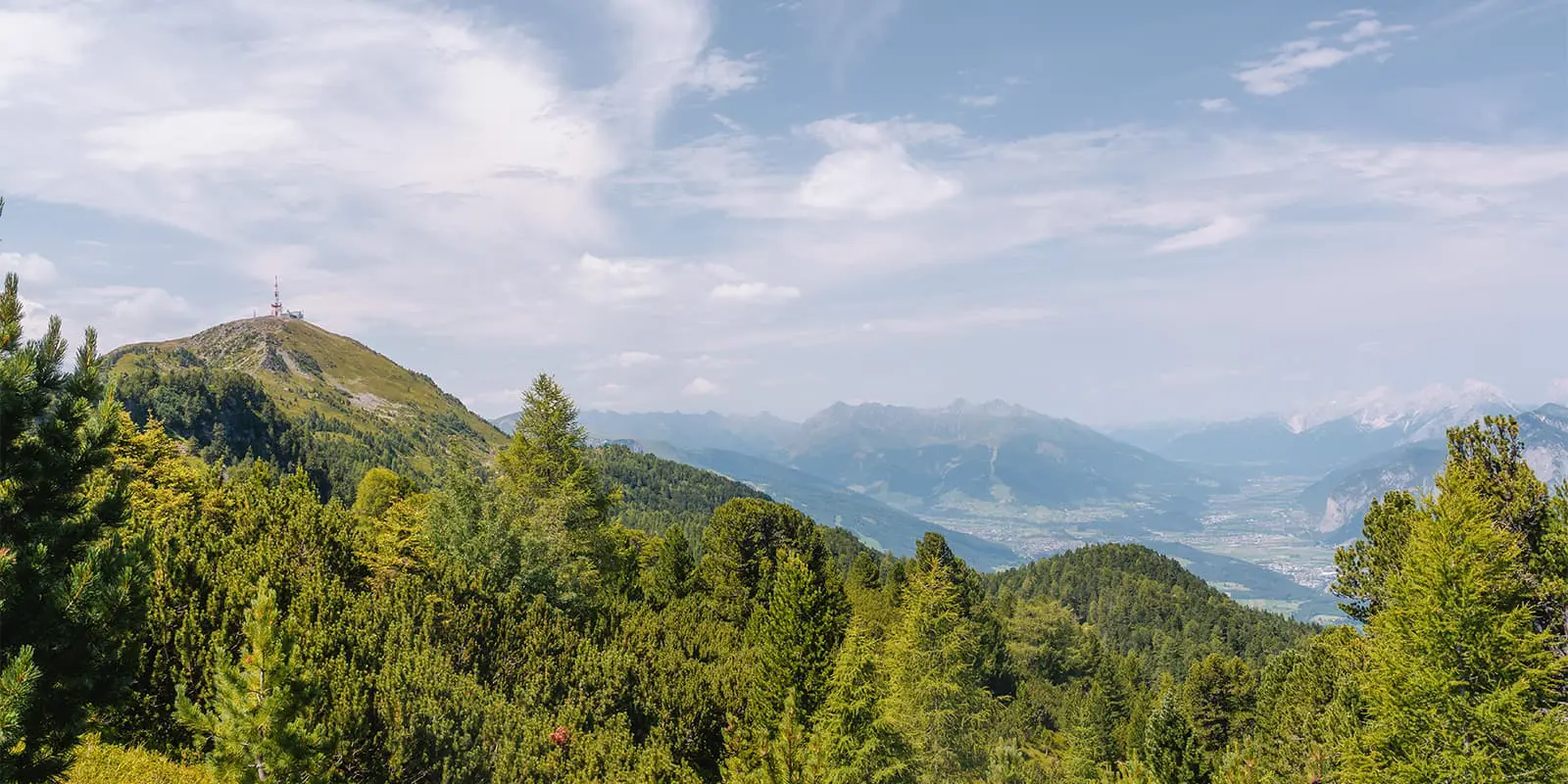
The Zirbenweg is a popular day hike just above Innsbruck. It follows part of the Adlerweg route and connects the Patscherkofel mountain with the Tulfeinalm near Tulfes. The trail starts at the Patscherkofel cable‑car station, located at 1,952 m. From there, it goes across the mountain’s ridge, weaving through centuries‑old Swiss pine forests and offering beautiful views of the Inn valley below and the Nordkette range across.

This trail dates back to when locals first established trails in the Alps, but it gained real popularity more recently, drawing in both day hikers and families. The Zirbenweg forms part of the Adlerweg, a long-distance trail that spans Tyrol, making it a convenient option for hikers staying around Innsbruck.

profile picture Joy Hadders
Author

Joy Hadders

Joy Hadders is a Dutchie who takes full advantage of her free days off of work to experience as much as possible in other countries. Like many others, she found her way in hiking during the lockdown and now she’s also hooked! She enjoys discovering hidden gems with her boyfriend and dreams of a fully pinned world map. You can follow Joy on Instagram @joyhadders.

View profile

The Trail

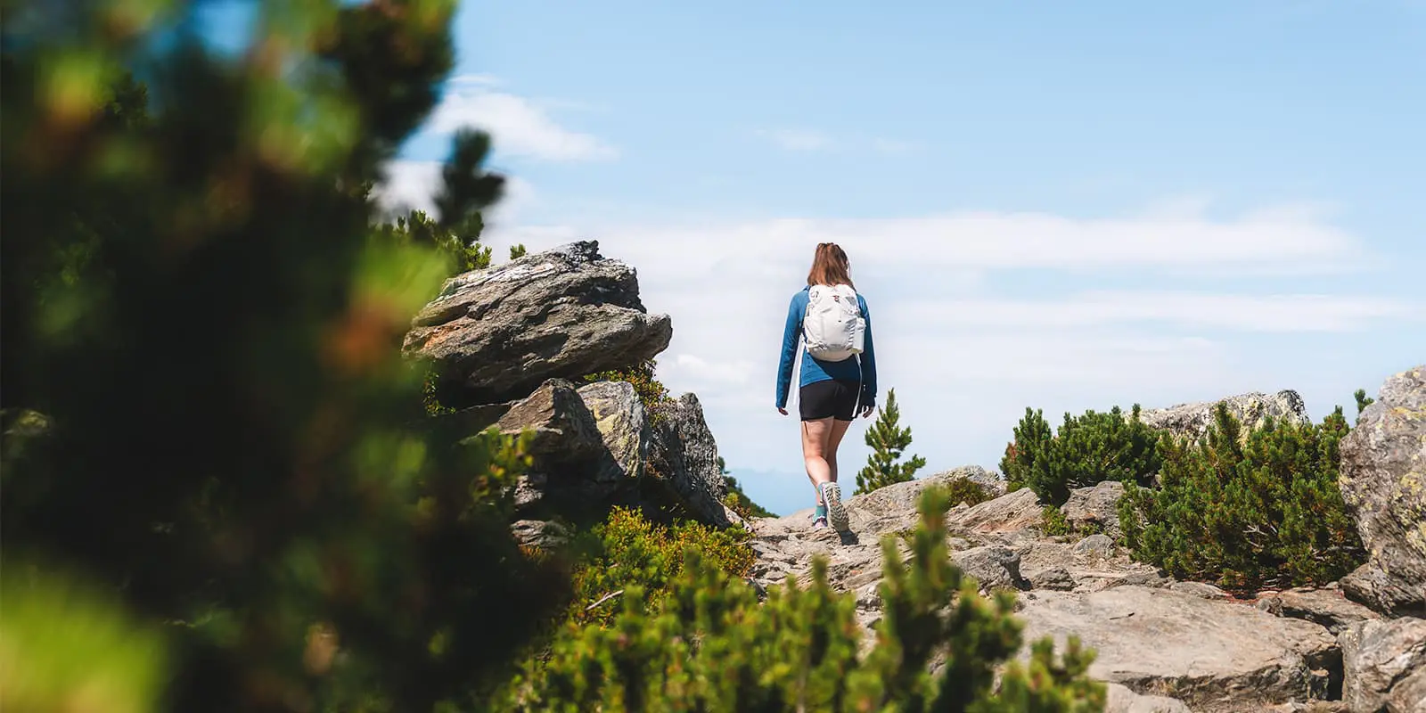
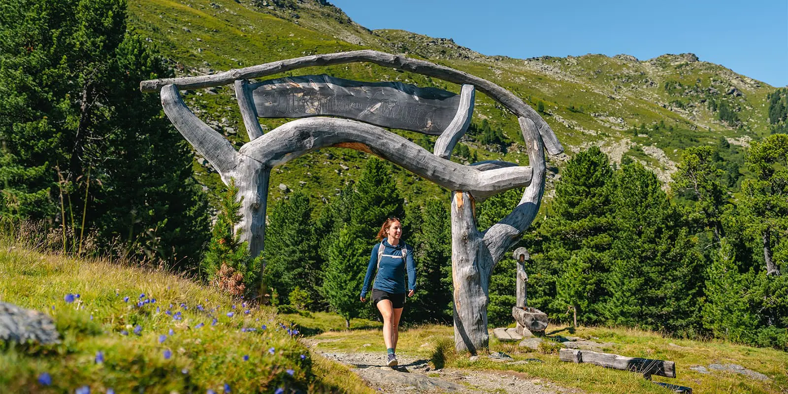
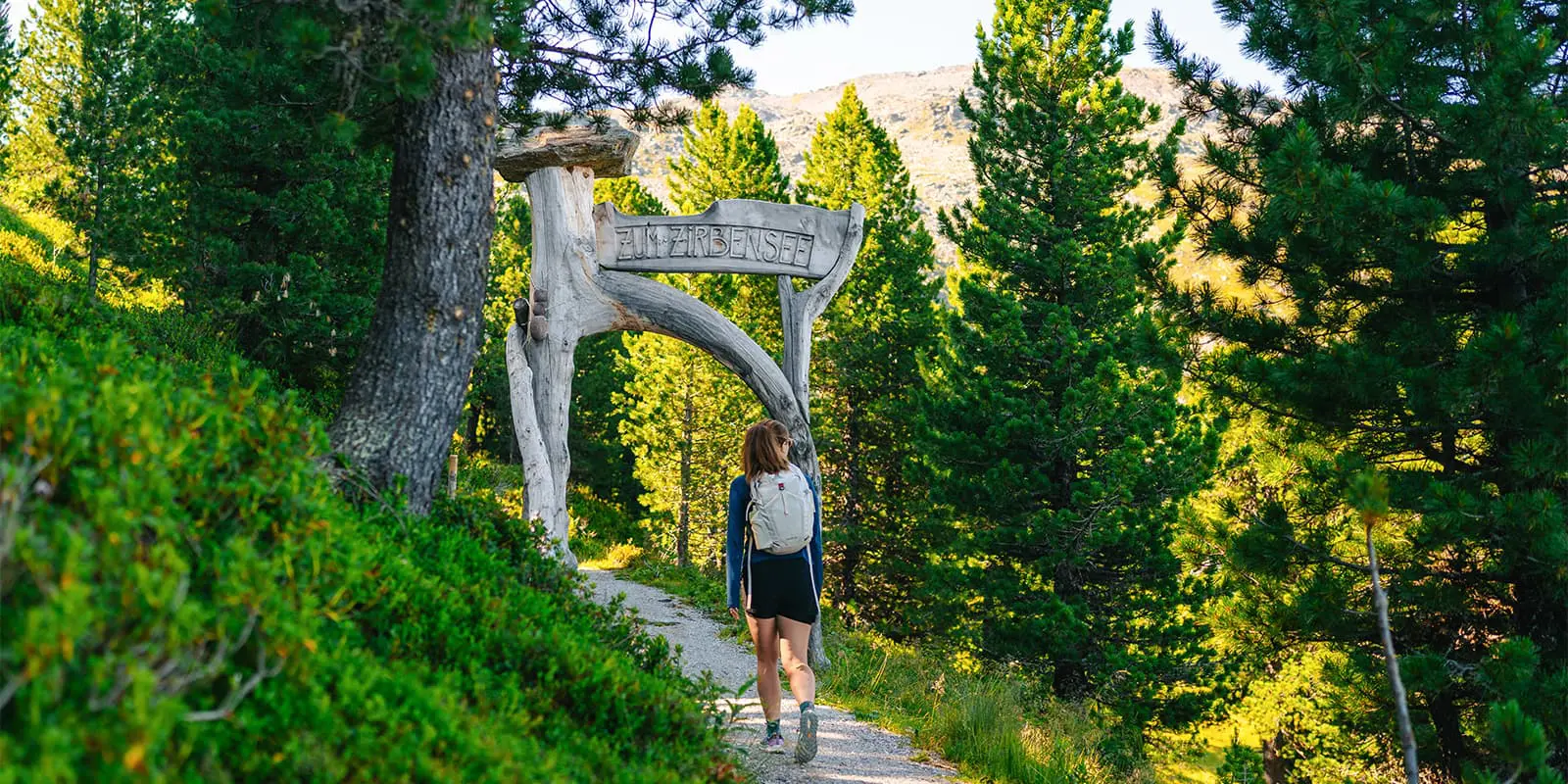
The Zirbenweg begins at the Patscherkofelbahn’s upper station at almost 2,000 m. From there, the trail starts gently, following a wide path that keeps more or less the same elevation, without steep climbs or descents. The route runs along the treeline, winding through dense Swiss stone pine forests that are centuries old, their trunks leaning over the path as you go by.

After leaving the cable‑car station, you follow the wide mountain trail southeast. The first stretch is relatively flat, then the path dips a little before rising back to ridge level. After about an hour or so, there’s a fork leading down to the Boscheben hut, slightly off the main route. That hut is tucked into the trees, and you can find light refreshments here.

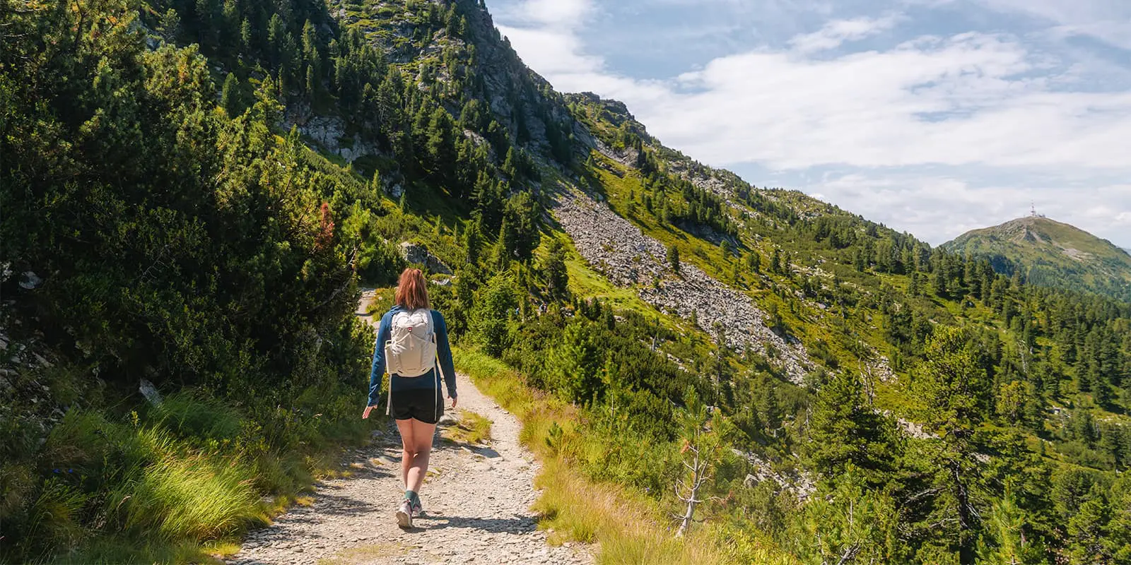
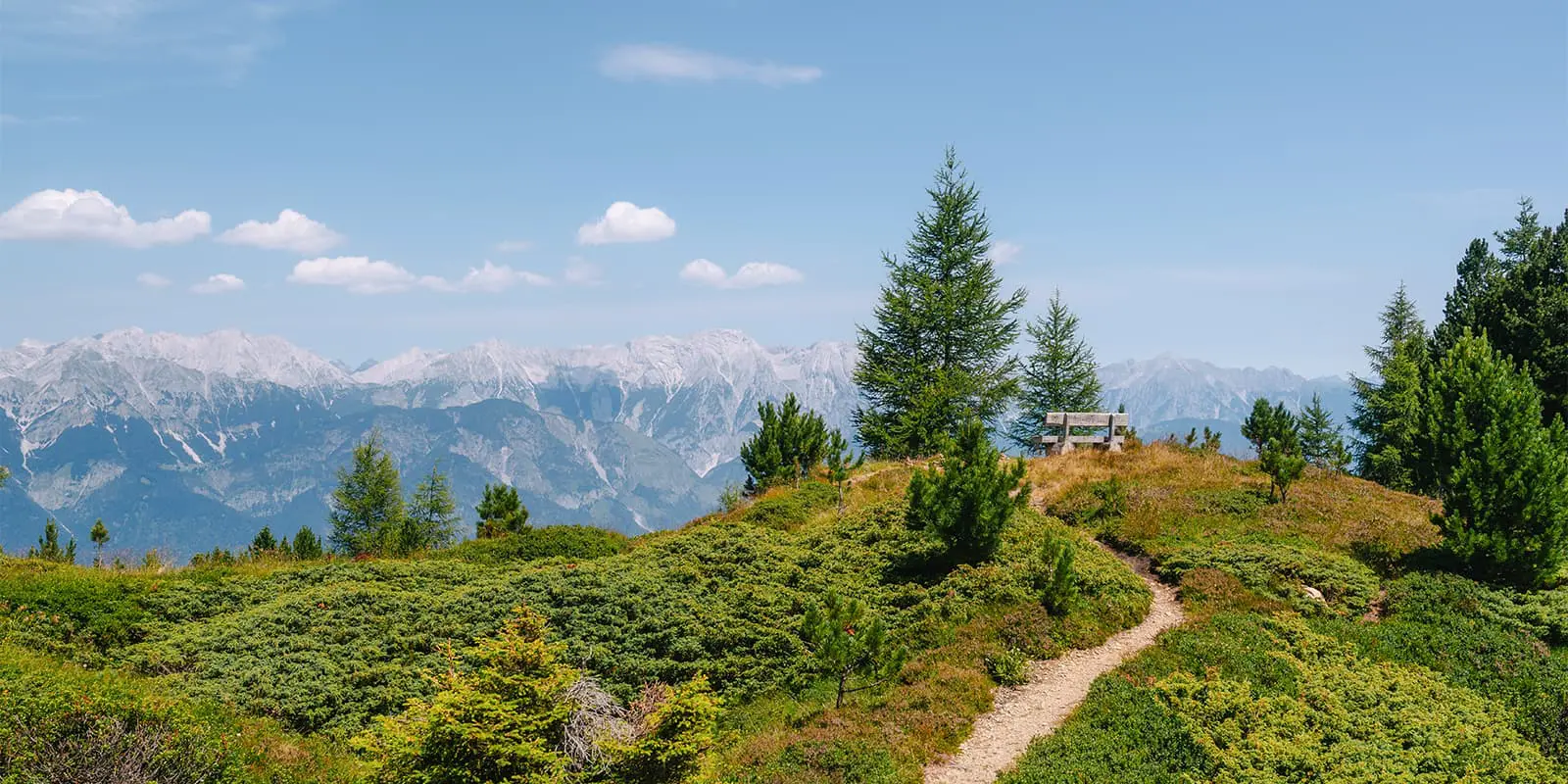
Continuing past the hut, the trail stays gentle in incline and circles around the ridge of Patscherkofel. The Nordkette and Karwendel mountains stand across the Inn Valley. You’ll hike above the valley and peer down to see Innsbruck and the river far below. The trail stays between 2,000 m and around 2,100 m, with occasional ups and downs of only a few dozen meters.

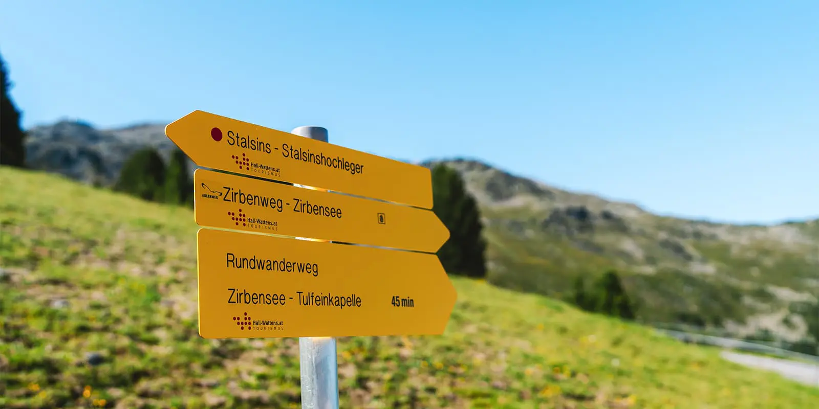
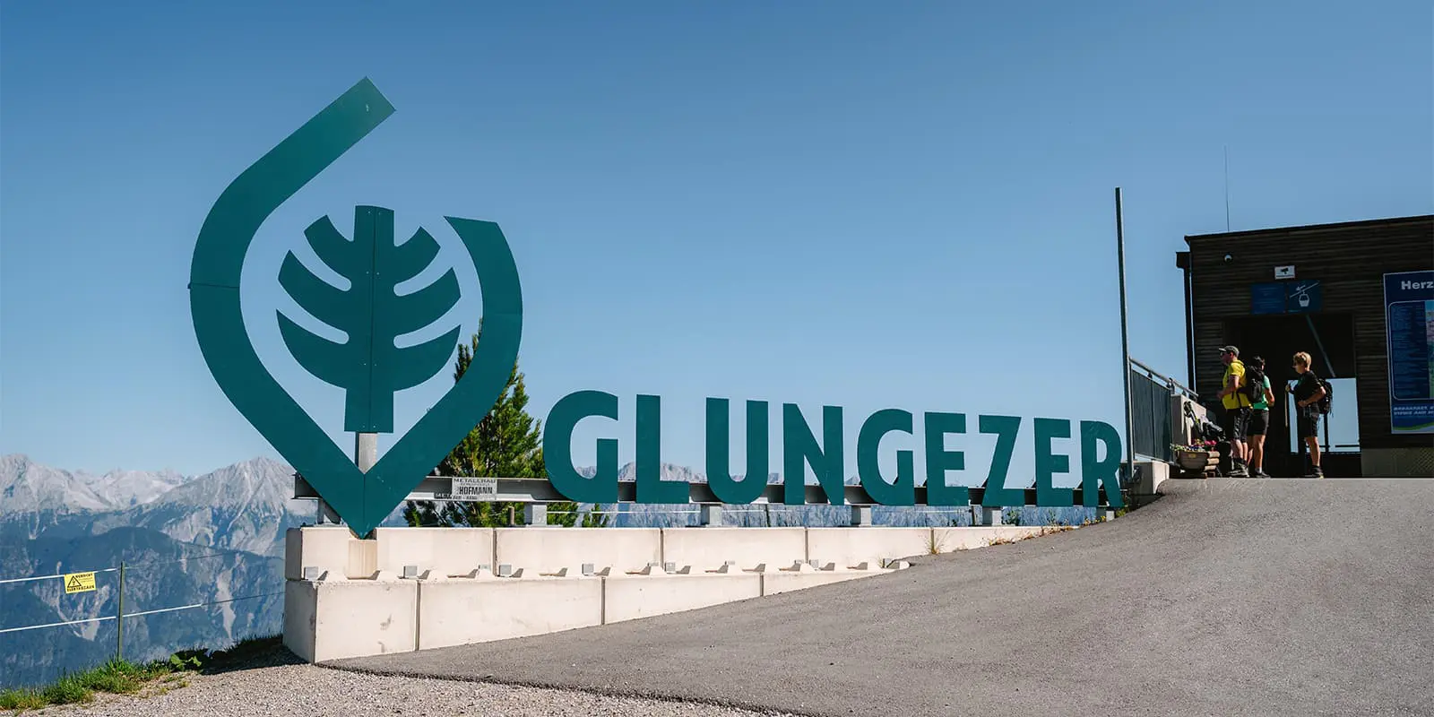
As you keep going, the Swiss pine forest will give way to more open alpengrassland and scattered stone pines. Soon, you’ll approach Tulfeinalm. The path narrows slightly closer to the alpine pasture until you reach the cable‑car station for the Glungezerbahn near the pasture. From here, you can drop down into Tulfes in just a few minutes by lift.

Accommodations

If you want to turn this into a multi-day trek in the mountains, there are mountain huts like Boscheben and Tulfeinalm where you can spend the night. In Tulfes and Innsbruck below, you’ll find a range of lodgings from small guesthouses to hotels.

Best time of the year

The best season for the Zirbenweg is from late June through early October. Outside these months, the trail can be covered in snow, and lifts may not run regularly. Mid-summer is best for consistent trail conditions and access to all huts and lifts. Early autumn has cooler air and fewer crowds, which makes it a pleasant time to hike without hot weather or trail closures.

Safety & Gear

The Zirbenweg is a trail that doesn’t require too much preparation, but a base level of planning is always necessary. Before starting a day hike like this, it’s good to check the weather for the region, especially when you will be hiking at 2000+ meters. If there’s a chance of rain, wait until the forecast is clear again. The higher you go, the more volatile storms can become.

You will also want to pack enough water and snacks (although you can also buy them at the mountain huts), along with clothing layers and sturdy shoes. Having a pair of shoes that are comfortable and supportive can make or break your hike.

Difficulty

The trail is listed as easy because of its gentle ascent and short distance. While it will still be a fulfilling few hours on the trail, it is not difficult. The Zirbenweg is okay for families and new hikers alike.

Good to know

From Innsbruck, take the Patscherkofelbahn gondola from Igls/Telfes up to the trail start at Patscherkofel. The gondola runs frequently in summer. To finish, use the Glungezerbahn lift down from near Tulfeinalm to Tulfes. Both lifts are part of the Innsbruck lift network and are included on the Innsbruck Card if valid.

Innsbruck blends urban and mountain life very well. This also means that it sits quite high in elevation, and you may need to acclimate before attempting difficult hikes in the region. Take an extra day to explore the city and let your lungs adjust to the extra effort.

route
point-to-point
highest point
2060m (6758 ft)

Want to submit a trail or make this page more complete?

Always read the disclaimer

Terms of Use: important to all visitors on this website. We strive to publish high quality content and information on this website. However it’s always possible that we’re missing out on some crucial information. In spite of the fact that this route, associated GPS track (GPX and maps) were prepared under diligent research by the specified contributor and/or contributors, the accuracy of such and judgement of the author is not guaranteed. Therefore, hiking-trails.com and contributors are in no way liable for personal injury, damage to personal property, or any other such situation that might happen to individuals hiking or following this route. Should you choose to hike this trail, this is always at your own risk. Check out our guidelines for safety hiking and Leave No Trace principles at the hiking 101 page.

Download GPX

Join the community!

Login or create a FREE account 😊

With an account you can:

Download GPX files

Pin trails to your wishlist

Mark trails as hiked by you

Rate hiking trails

Comment on trails, blogs and gear reviews

Happy trails!
Login

Don't have an account yet? Register here