About the Walker’s Haute Route

Alps
country
France, Switzerland
length
174 km(108 mi)
Type of trail
Long-distance, Hut to hut
difficulty

Difficulty is highly personal. Be aware of the weather conditions as bad weather turns easier trails in difficult trails especially in the mountains.

Difficult, Strenuous
accommodation

Lodging means a mix of hotels, hostels or AirBnB’s.

Mountain huts, Camping, Lodging, Wild camping
Elevation gain
21000 m(68898 ft)
terrain
Mountains
remoteness
Some of the time
Show more

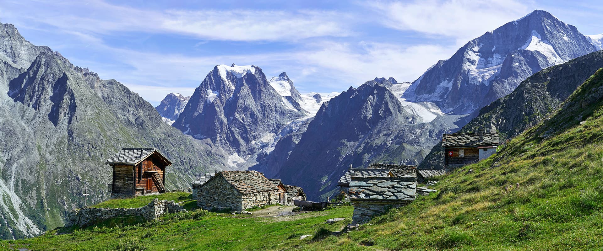
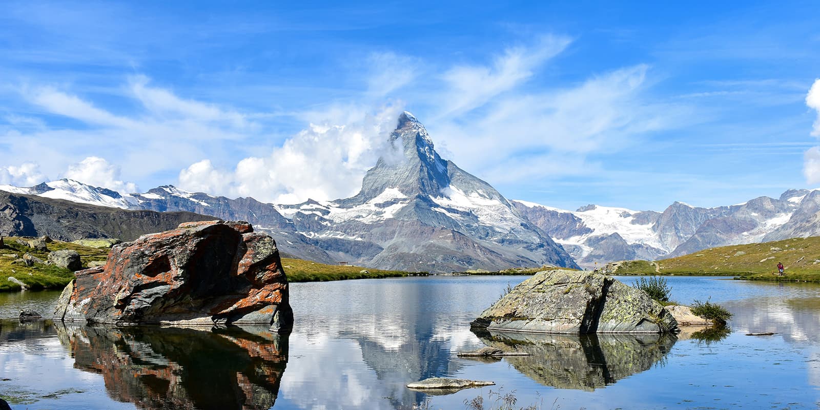
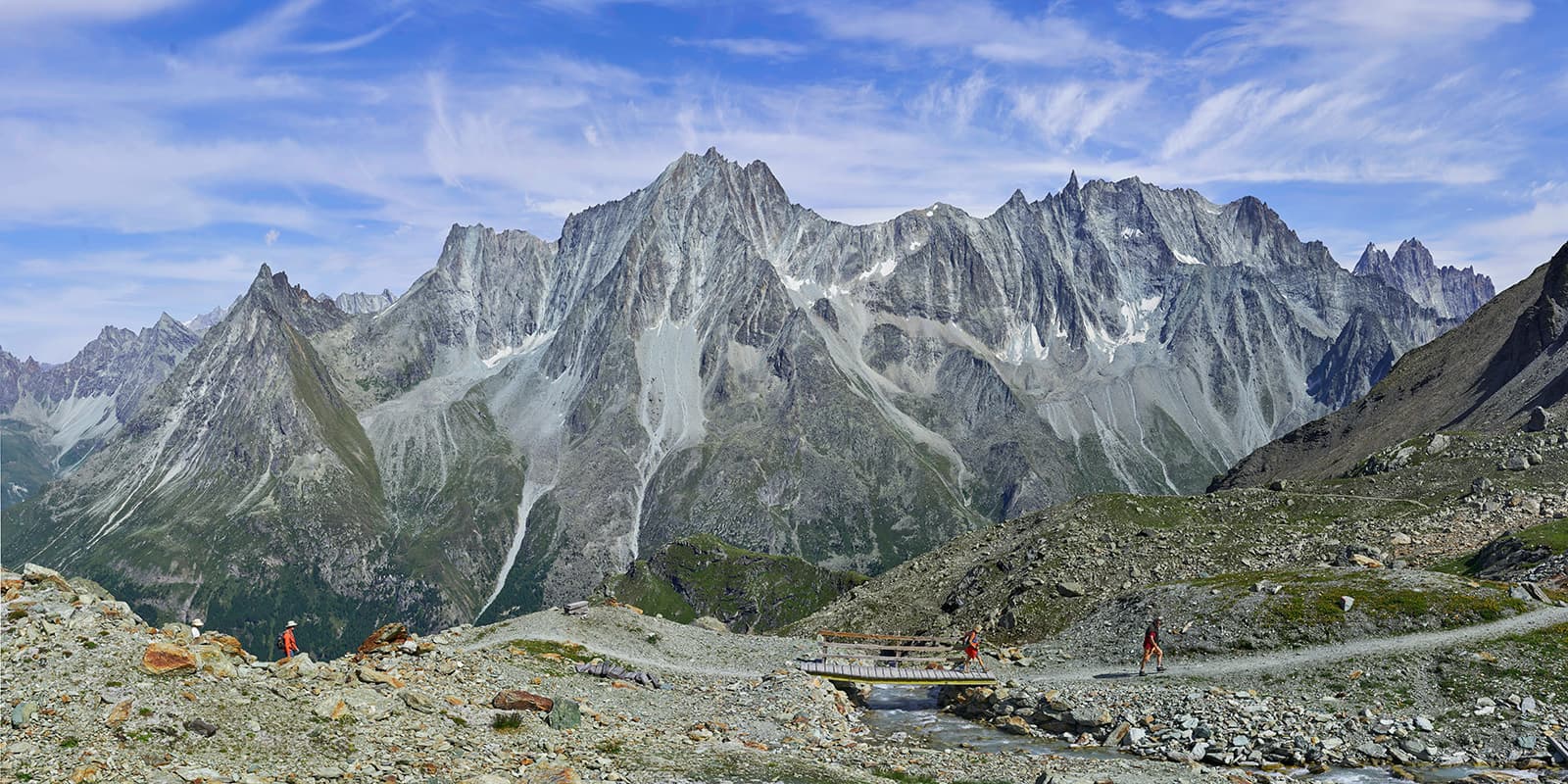
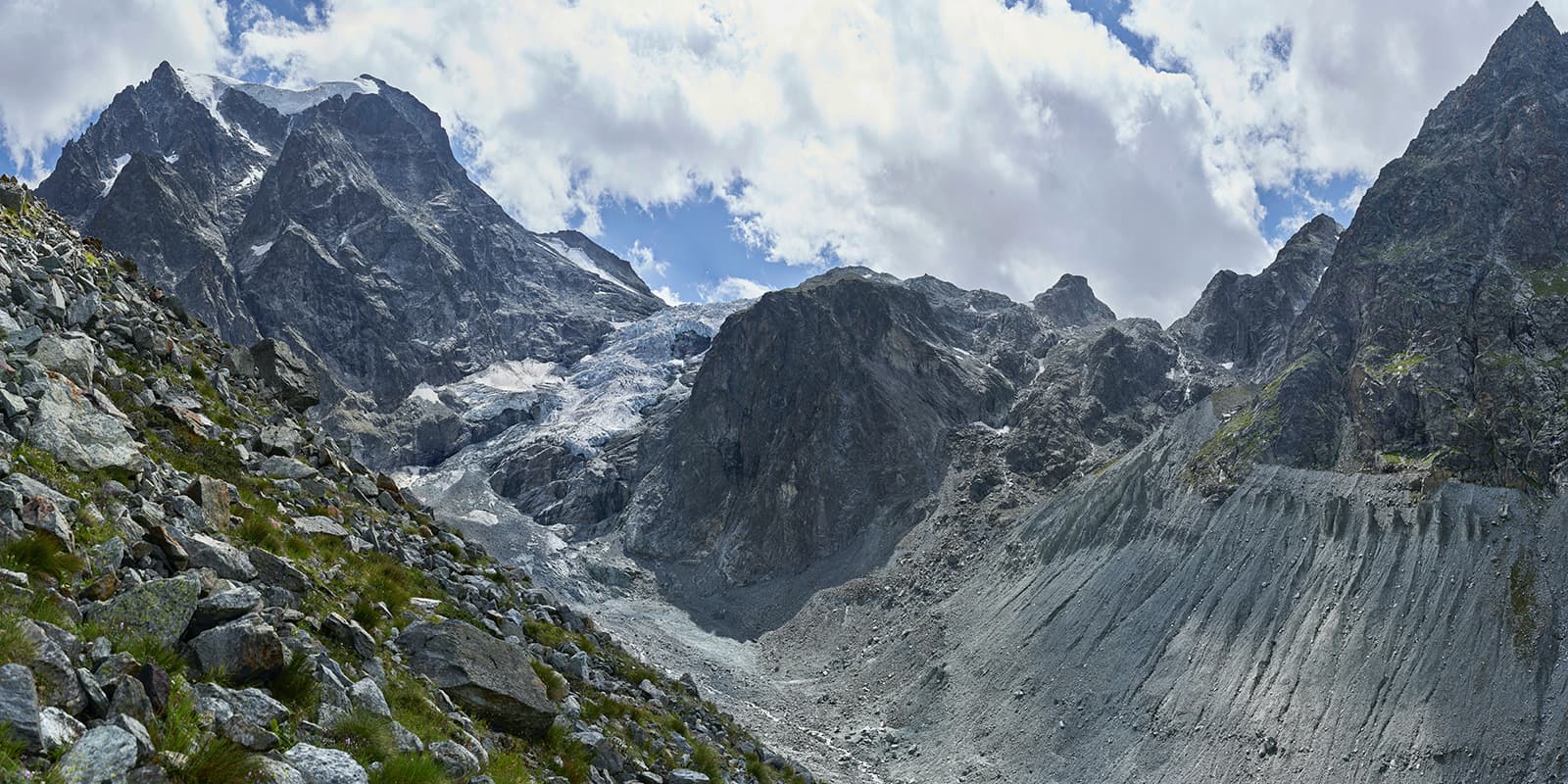
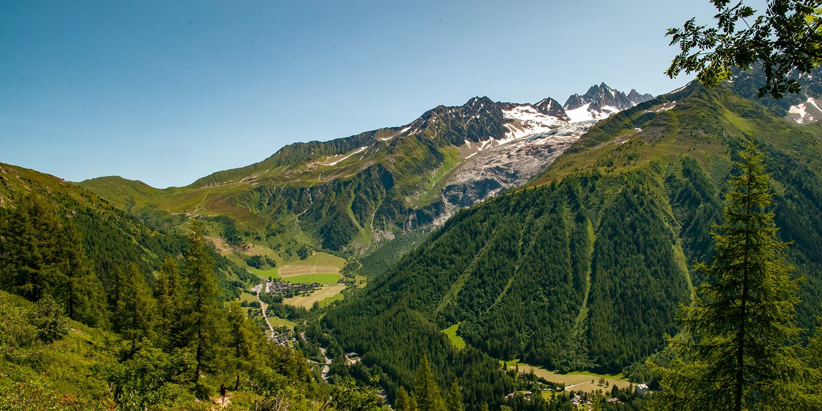
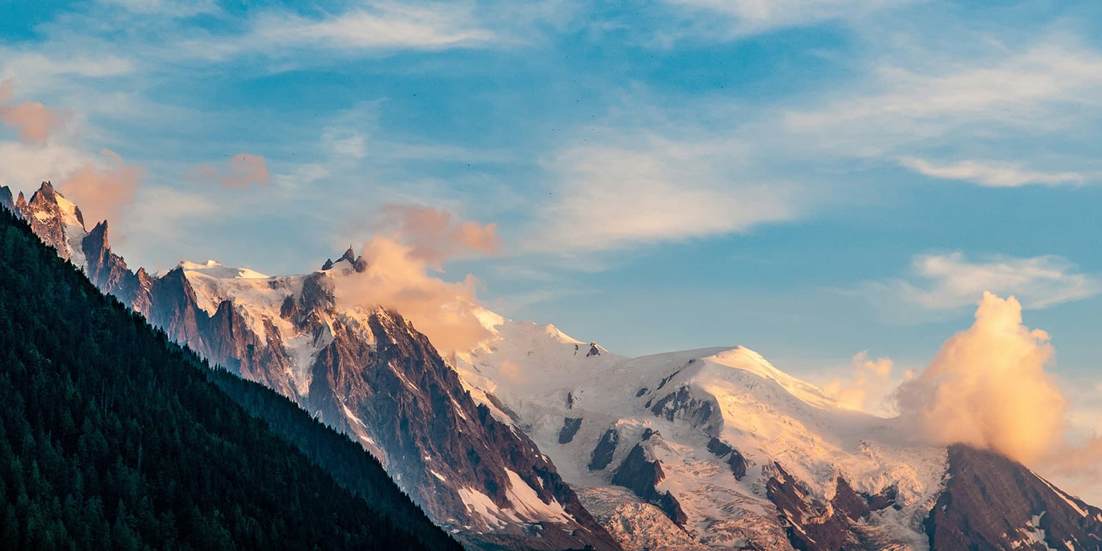
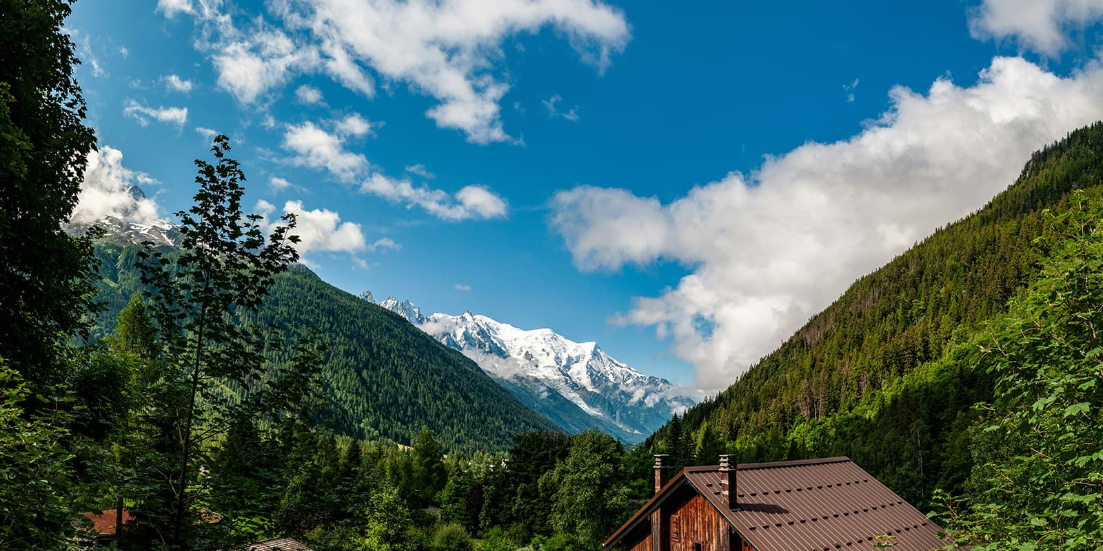
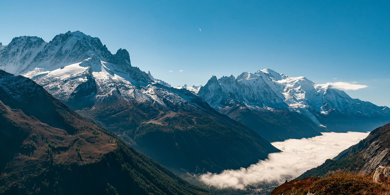
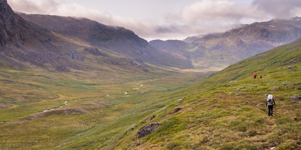
The Walker’s Haute Route is a long-distance, hut-to-hut hiking trail through the French and Swiss Alps. It takes you from Chamonix in France, near the Mont Blanc Massif, to Zermatt in Switzerland, where the Matterhorn towers above. The route sneaks below the summits of 10 of the highest peaks in the Alps and crosses several high passes. It offers spectacular views of glaciers, mountain peaks, alpine meadows, and mountain villages.

This is a great alternative to the Tour du Mont Blanc if you’re looking for something more difficult and remote, while still seeing the region. You’ll experience two countries, two cuisines, and two weeks of unforgettable adventure.

Merle profile picture

Merle Wünderling

Merle is an outdoor enthusiast who’s passionate about hiking, rock climbing, mental health, and sustainability. Born in Germany but at home in the world, she’s hiked trails in New Zealand (Abel Tasman Coast Track, Kepler Track), Europe (Rota Vicentina/ Fishermen’s Trail, Tour du Mont Blanc, GR20 Corse, Kungsleden… ), and the Balkans (Peaks of the Balkans). Over the years she became a bit of a nerd, constantly improving her gear for upcoming hikes, such as GR11 Spain, Tour des Ecrins, Te Araroa, and the Transcaucasian Trail.

You can follow Merle on Instagram @merlewunderkind.

View profile

The Trail

The first stage goes from Chamonix to Argentière. It starts gently with a mostly flat walk through towns and a forest. Due to it being less exciting and scenic than other stages, it could be either skipped if you’re running short on time or combined with the second stage.

The second stage takes you up and over Col de Balme, the first but not the last mountain pass of the Walker’s Haute Route. At the same time, it crosses the border from France to Switzerland and ends in the town of Trient.

The third stage might get more crowded, due to the Walker’s Haute Route and the Tour du Mont Blanc sharing this stage. You will have to overcome one of the most challenging, steep, and rocky ascents up to Fenêtre d’Arpette. But the effort of the ascent is rewarded with fantastic views of the Trient Glacier.

From Champex Lac to Le Chable, the trail goes mostly downhill and allows you to recover and gather your energy for the next day. The next stage starts in the valley of Le Chable, where the Walker’s Haute Route takes you all the way up into the high alpine mountain ranges to Cabane du Mont Fort. The uphill section can be shortened with the cable car from Le Chable to Les Ruinettes if you need to give your knees a break.

Stage six from Cabane du Mont Fort to Cabane Prafleuri is more remote. It crosses several cols and you’ll experience a variety of landscapes from glacial lakes and green valleys to spectacular alpine scenery that will make you forget every effort.

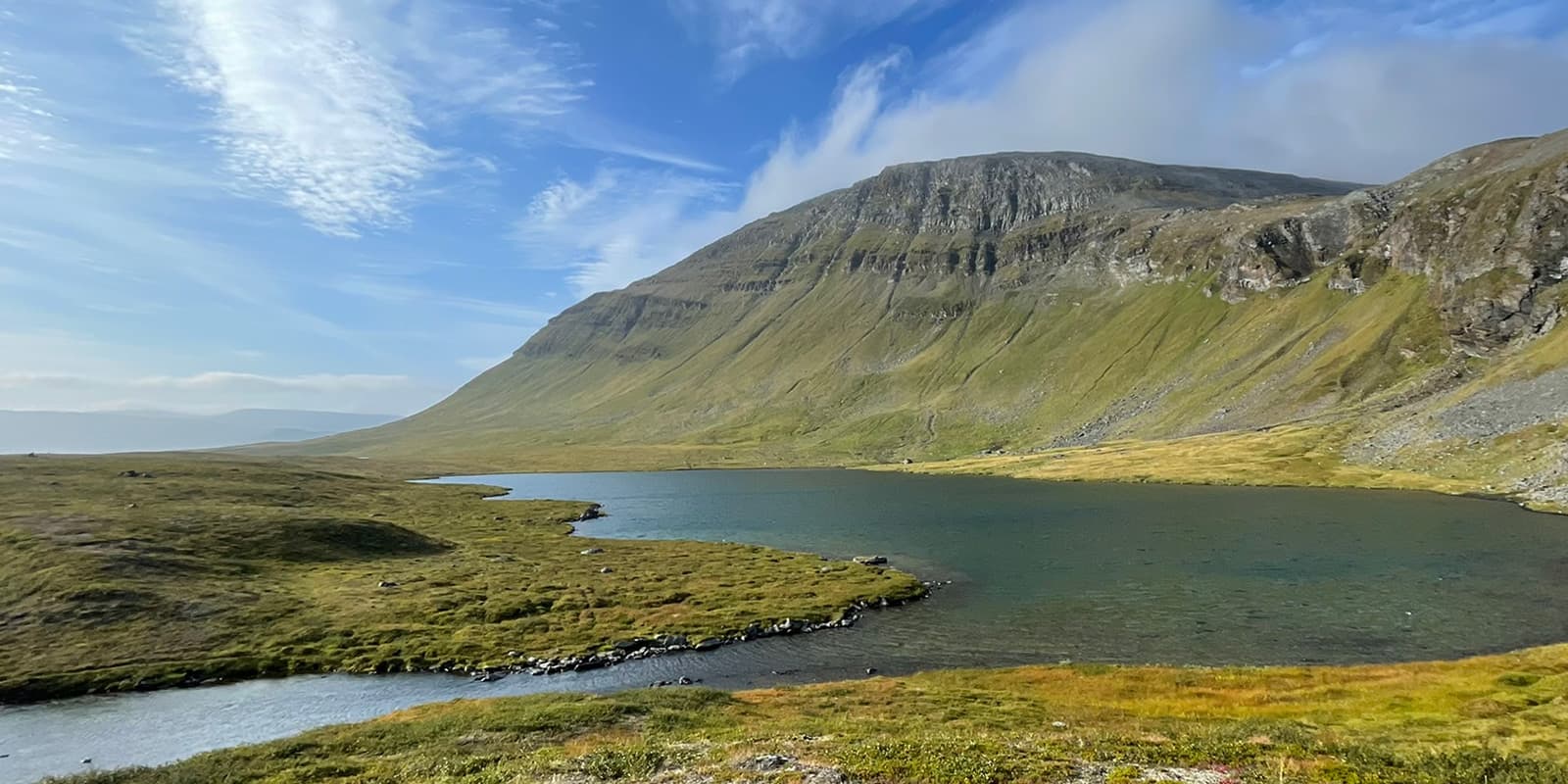
The stunning landscape continues the next day on the way from Cabane de Prafleuri to the town of Arolla. Apart from one long climb, the majority of the stage leads downhill including a rare flat section along a lake.

Stage eight is the easiest and the shortest of all stages. From Arolla, it leads up and over hillsides, passing through several hamlets and around Lac Bleu. This is followed by a descent into the valley, where you can stay either in Les Haudères or a bit higher up in La Sage.

From Les Haudères or La Sage, the route continues with a challenging ascent up to Col du Tsaté. Afterward, a scenic downhill section will guide you to Lac de Moiry with views of the Moiry Glacier. You can also book an overnight stay at the Cabane de Moiry.

Stage ten climbs up and over Col de Sorebois and involves a lot of downhill walking, which can be skipped through a ride with the gondola to Zinal. The following stage from Zinal to Gruben starts in a valley and will push you up and over a mountain pass before you descend back into another valley. At this point, you will most likely meet more crows than humans.

The next day offers the first view of the Mattertal Valley, with Zermatt at the very end. Stage 13 starts in St. Niklaus. After walking through the Mattertal Valley, there is a last but exhausting uphill section through a forest to reach the Europa hut.

From Europa hut to the final destination of Zermatt, you will get to enjoy stunning views of the Matterhorn. Talk about a rewarding trek!

Stages

The Walker’s Haute Route is a trail network that includes several alternate routes, with a total distance ranging from 174 kilometers (108 mi) to 227 kilometers (141 mi), that takes you from Chamonix to Zermatt. The ´classic route´ is usually hiked in about 14 days, with the opportunity to add on detours or skip stages, to adjust the tour to your skills and itinerary.

14-stage itinerary (classic route)

Stage 1:

Chamonix – Argentière, 9 km | 5.6 mi

Stage 2:

Argentière – Trient, 14.2 km | 8.8 mi

Stage 3:

Trient – Champex-Lac, 15.3 km | 9.5 mi

Stage 4:

Champex Lac – Le Chable, 13.5 km | 8.4 mi

Stage 5:

Le Chable – Cabane du Mont Fort, 13.3 km | 8.2 mi

Stage 6:

Cabane du Mont Fort – Cabane Prafleuri, 15.2 km | 9.4 mi

Stage 7:

Cabane de Prafleuri – Arolla, 17.4 km | 10.8 mi

Stage 8:

Arolla – Les Haudères, 8.9 km | 5.5 mi

Stage 9:

Les Haudères – Lac de Moiry, 15.8 km | 9.8 mi

Stage 10:

Lac de Moiry – Zinal, 9.1 km | 5.6 mi

Stage 11:

Zinal – Gruben, 16.6 km | 10.3 mi

Stage 12:

Gruben – St. Niklaus, 16.9 km | 10.5 mi

Stage 13:

St. Niklaus – the Europa hut, 12.7 km | 7.9 mi

Stage 14:

The Europa hut – Zermatt, 20.7 km | 12.8 mi

Accommodations

When hiking the Walker’s Haute Route, you are going to stay in remote mountain huts in the high alps. When you come through towns, you can choose between campsites, hostels, guest houses, or hotels.

Wild camping is generally prohibited on the Walker’s Haute Route, except around the Chamonix Valley in France, where it is permitted to bivouac from sunset to sunrise. After Champex, campsites are scarce. In Switzerland, it is rarely permitted to camp at or near mountain huts. But in the towns and villages along the way, there are official campsites (Chamonix, Argentière, Le Peuty, Col de Forclaz, Champex Lac, Arolla, Zinal, Randa, Zermatt).

During peak hiking season (July and August), and especially during the French holidays (4 weeks around mid-July), you will need to book your accommodations far in advance.

Accommodations per stage

Stage 1:

Argentière (camping, hostel, guest houses, hotel)

Stage 3:

Champex Lac (camping, hostel, guest houses, hotel)

Stage 4:

Le Chable (camping, hostel, guest houses, hotel)

Stage 6:

Cabane Prafleuri

Stage 7:

Arolla (camping, hostel, guest houses, hotel)

Stage 8:

Cabane de Moiry

Stage 10:

Auberge Alpina

Stage 11:

Hotel Schwarzhorn

Stage 12:

St. Niklaus (hostel, guest houses, hotel)

Stage 13:

The Europa hut

Stage 14:

Zermatt (camping, hostel, guest houses, hotel)

Best time of the year

The best time to hike the Walker’s Haute Route is in summer, between the middle of June and the middle of September when the mountain passes are clear of snow and the refuges are open.

You’ll find that the trails will be clear in many of the sections, but the accommodations can be booked up, which means you’ll need to plan far ahead for this trek. Additionally, you’ll need to be aware of snow in the early and late seasons. If you’re hiking in June or September, be sure to check in with the hut wardens or weather forecasts to check on the possibility of lingering snowbanks.

Safety & Gear

Before the hike, research information about the route (length, altitude, difficulty, current conditions) and assess your skills realistically. The Walker’s Haute Route is a challenging hike, which requires experience in alpine terrain, surefootedness, and proper equipment.

Invest in the right hiking gear, including comfortable, supportive footwear with a good grip, proper hiking clothing, such as warm base layers and a hardshell rain jacket, hiking poles, a well-fitted backpack, and essential equipment like maps, GPS devices (or the GPX on your mobile), and a first-aid kit.

For staying overnight in the refuges, bring a light sleeping bag, in addition to the provided blankets, and earplugs for a restful night. Check out our comprehensive gear list for long-distance trails for more ideas.

If you walk by yourself, share your plans with somebody else for your own safety.

The weather in the high mountains can change rapidly. Always check the trail conditions and local weather forecasts, be prepared for all conditions, including rain, sun, or snow and alter your itinerary if needed.

Stay properly hydrated and nourished. Ensure you have enough water and snacks to maintain energy levels and prevent dehydration and exhaustion. Bring at least two liters of water with you. Especially in remote sections or near livestock grazing areas, it is recommended to use a water filter or purification tablets.

Respect the principles of Leave No Trace by minimizing your impact on the environment. Stick to designated trails, take all your trash with you, and show respect for wildlife and natural habitats (keep your distance and don’t feed them).

Difficulty

The Walker’s Haute Route is a physically demanding hiking trail with high-altitude passes, rugged mountain terrain, and a sustained amount of ascent and descent each day. Therefore, a good level of fitness and experience in alpine conditions are required.

Good to know

The Walker’s Haute Route starts in Chamonix, which is easy to reach by public transport.

From Geneva International Airport (GVA) you can get to Chamonix by bus (1:40h), train (2:40h), or shuttle (1:15h).

You can fill up your water at the mountain huts and in the villages along the way. Make sure to take enough drinking water for the day and top up your water supply whenever possible. Especially in remote sections or near livestock grazing areas, it is recommended to use a water filter or purification tablets.

route
point-to-point
highest point
2,987m (9,799 ft)

Guidebooks

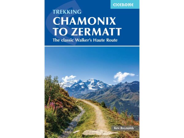
guidebook walkers haute route

Walkers Haute Route

View guidebook

Want to submit a trail or make this page more complete?

Always read the disclaimer

Terms of Use: important to all visitors on this website. We strive to publish high quality content and information on this website. However it’s always possible that we’re missing out on some crucial information. In spite of the fact that this route, associated GPS track (GPX and maps) were prepared under diligent research by the specified contributor and/or contributors, the accuracy of such and judgement of the author is not guaranteed. Therefore, hiking-trails.com and contributors are in no way liable for personal injury, damage to personal property, or any other such situation that might happen to individuals hiking or following this route. Should you choose to hike this trail, this is always at your own risk. Check out our guidelines for safety hiking and Leave No Trace principles at the hiking 101 page.

Download GPX

Join the community!

Login or create a FREE account 😊

With an account you can:

Download GPX files

Pin trails to your wishlist

Mark trails as hiked by you

Rate hiking trails

Comment on trails, blogs and gear reviews

Happy trails!
Login

Don't have an account yet? Register here