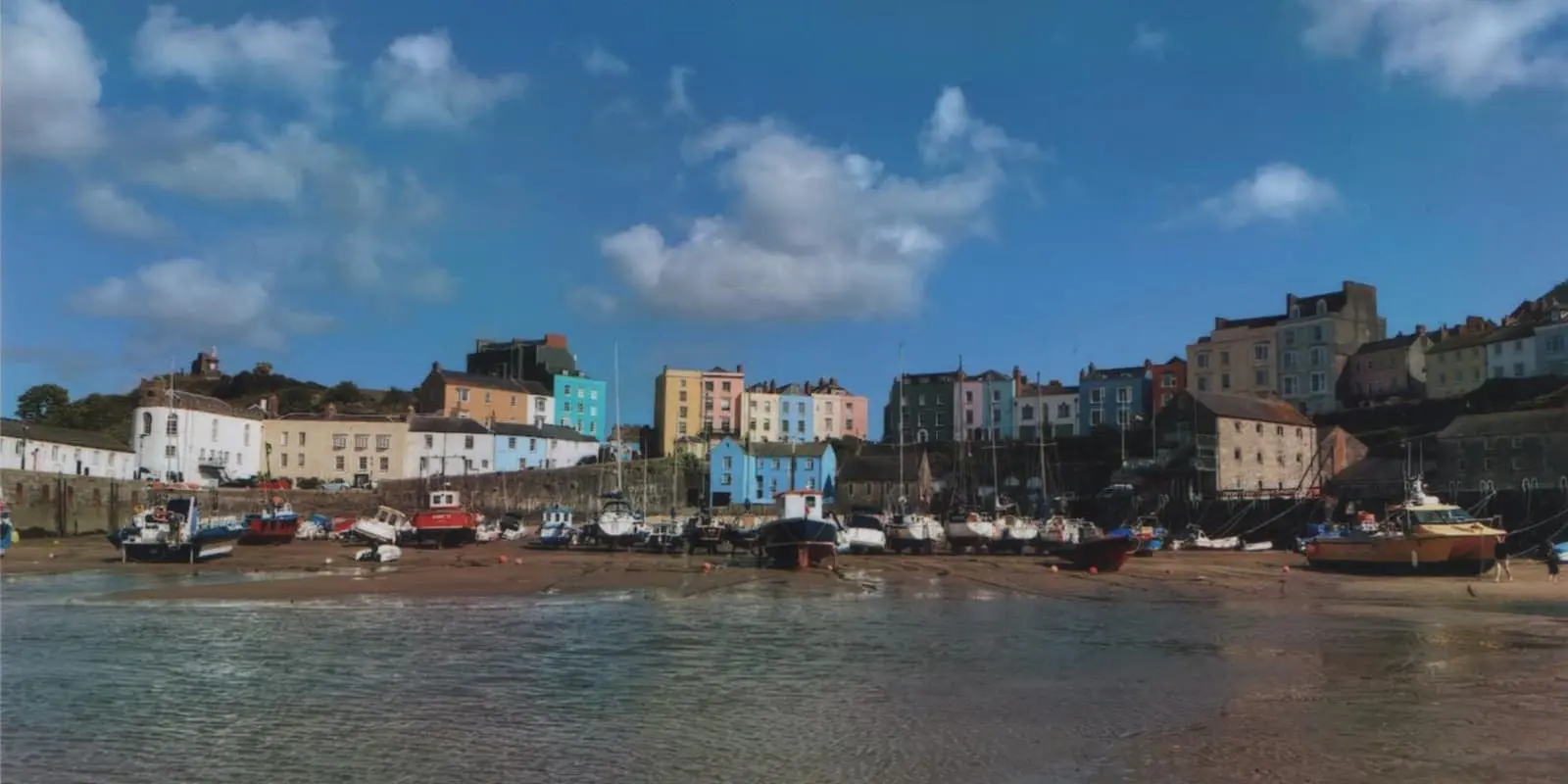
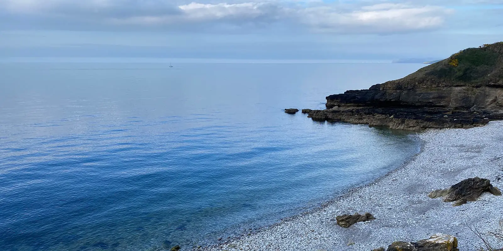
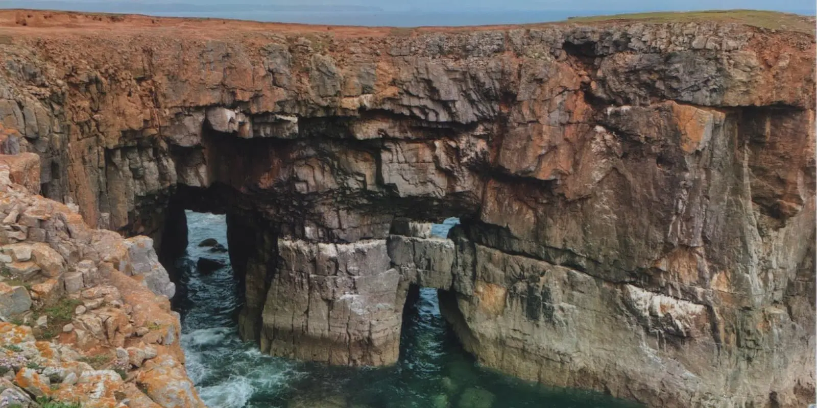
The Wales Coast Path is far from a stroll along a beach. This diverse trail is an epic adventure of rugged cliffs, hidden coves, seaside towns, industry – both old and new, ports, wide sandy beaches, winding estuaries, agricultural land, incredible rock formations, dunes, and even neolithic burial grounds. It will certainly use all your leg muscle groups, varying from flat and easy promenades to steep ascents and descents into every little cove. The trail closely follows the coast for most of the route, but there are inland sections to circumnavigate estuaries and private land. Though minimal, there is some road walking.
The first section eases you into the trail, with miles of flat straightforward path following the River Dee. It’s a good section to run if you’re interested in fastpacking. The start itself is somewhat in the middle of nowhere, right on the England/Wales border along the River Dee but it’s a lovely 3.2-kilometer / 2-mile canal walk from Chester city center to reach the official start. Once the River Dee reaches the sea, you’ll enjoy beach and dune walking before reaching the seaside resorts of the North Wales coast, starting with Prestatyn. You’ll follow a flat promenade for miles before reaching the first hilly section: the Great Orme, a limestone headland. On the other side is the charming castle town of Conwy, with the rest of this section a flat and simple path between the train line and the sea. Note – despite this section being popular with tourists, there are very few campsites as most ‘campsites’ are for holiday park homes and don’t allow tent pitches.
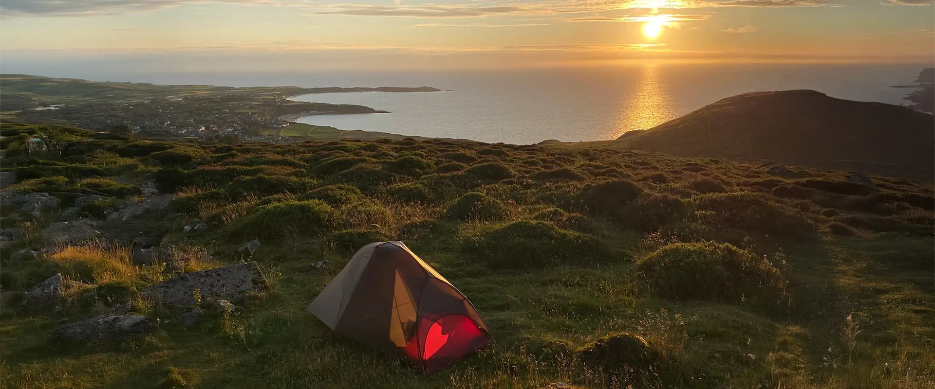
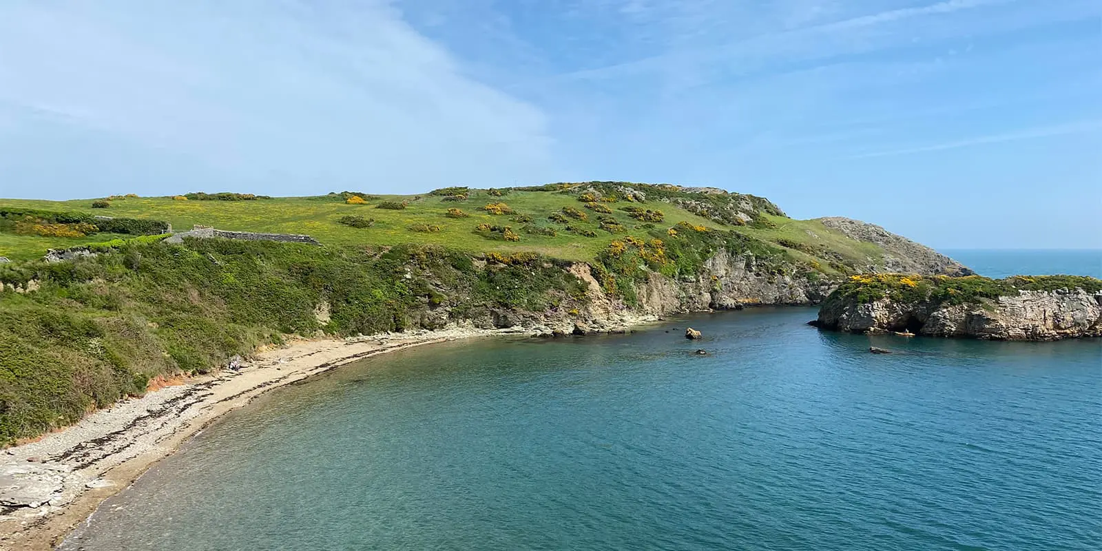
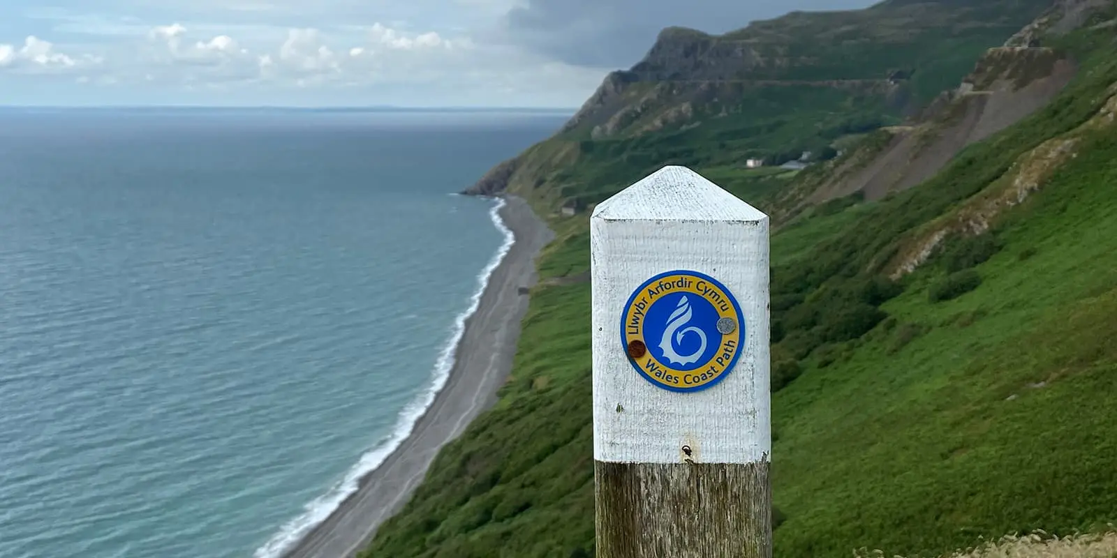
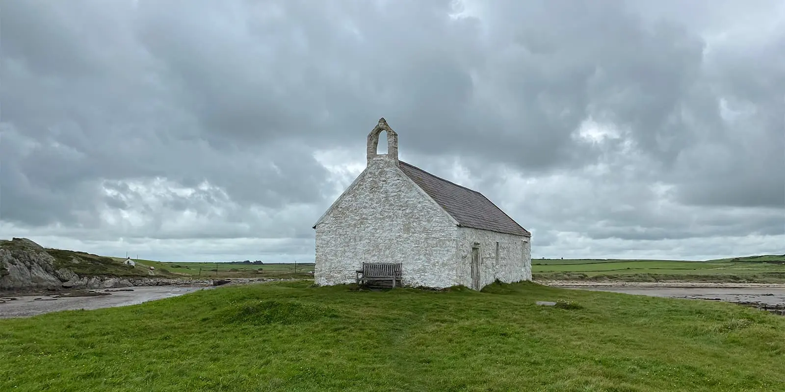
The second section starts after urban Bangor, crossing the striking Menai Bridge. It will take you to the Isle of Anglesey where you can follow either the official WCP dragon shell waymarkers or the IoACP blue tern (bird) waymarker – both follow the same route. The Anglesey section is quiet with a wild feel – different from the built-up North Wales section. Here, you’ll find wide, empty beaches, wildflower-lined paths, hidden coves, sleepy harbors, lighthouses, churches, grassy headlands, and signs of the old mining industry. It’s a quiet and very beautiful section. A mix of campsites and wild camping will be needed here, and away from Menai Bridge and Holyhead, there is little public transport.
The third section is beautiful and underrated, continuing the wild feel of Anglesey. Flat and easy paths to begin, and passing through the quirky arty castle town of Caernarfon. There are some good, long, beach walking sections on the Llyn Peninsula, but some long road sections too – although for a lot of these sections, you can continue along the beach instead of following the ‘official’ road route. The Llyn Peninsula also becomes quite hilly, with the sudden steepness around Yr Eifl as a surprise! This is a great section for wild camping and wildlife, from wild goats to seals basking on beaches.
After Porthmadog, the Llyn Peninsula turns inland into Meirionnydd, the western border of Eryri (Snowdonia National Park). Meirionnydd is mostly farmland and only meets the coast a few times. Here, wild camping will be difficult – though landowners may permit you to pitch on their land. This section finishes in the arty town of Machynlleth, which also has great transport routes.
The fourth section of Ceredigion is a varied part of the WCP. Starting inland, it takes a day to return to the coast again and enjoy cliff coastline paths and harbor towns – this section is a mix of rugged and bustle, with extensive views of the whole coastline from Llyn to Pembrokeshire. The main roads running next to the coast path have buses connecting the towns (though no trains apart from Aberystwyth) and a mix of campsites and wild camping.


