About the Via Transilvanica

country
Romania
length
1400 km(870 mi)
Type of trail
Thru-hike, Long-distance
difficulty

Difficulty is highly personal. Be aware of the weather conditions as bad weather turns easier trails in difficult trails especially in the mountains.

Moderate
accommodation

Lodging means a mix of hotels, hostels or AirBnB’s.

Lodging, Camping
Elevation gain
31923 m(104734 ft)
terrain
Forest, Hills
remoteness
Some of the time
Show more

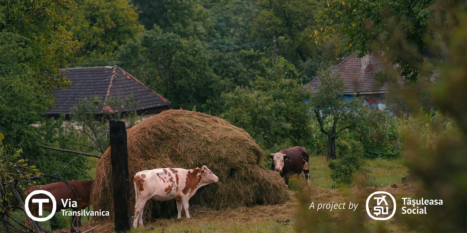
The Via Transilvanica is a thru-hike that runs through the entire length of Romania. This trail, while inspired by the famous long-distance and thru-hikes in Europe and the US, was entirely created by Tășuleasa Social, an NGO with over 25 years of experience in organizing social, cultural, environmental, educational, and sports initiatives. On each stage, you’ll meet locals who will show you the warm and welcoming culture of Romania, sharing stories and encouragement on your journey. Not to mention the beautiful nature you’ll be immersed in each day!

The Via Transilvanica runs through ten counties in Romania: Suceava, Bistrița-Năsăud, Mureș, Harghita, Sibiu, Brașov, Alba, Hunedoara, Caraș-Severin, and Mehedinți. It’s also divided into seven cultural-historical lands: Bucovina, Șinutul de Sus, Terra Siculorum, Terra Saxonum, Terra Dacica, Terra Banatica, and Terra Romana.

Johannes Norz

Johannes Norz was born in Tirol, halfway between Munich and Verona, in Austria. He has been in the mountains ever since. Throughout his life, he’s hiked most of Europe, the Alps, Pyrenees, Apennine, and the Balkans.

View profile

The Trail

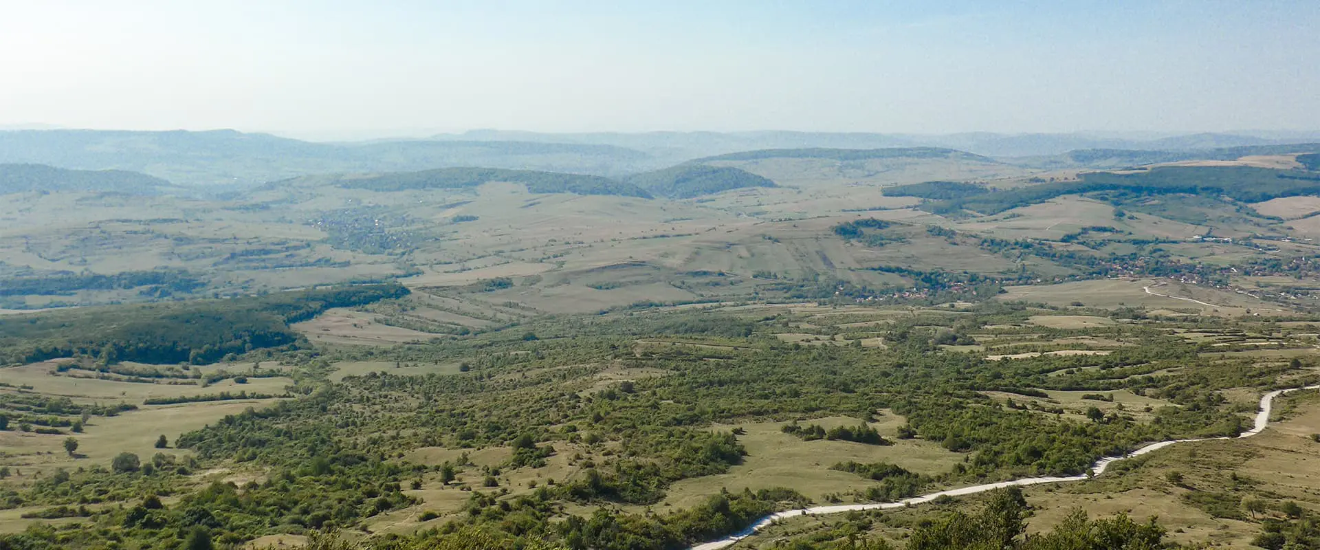
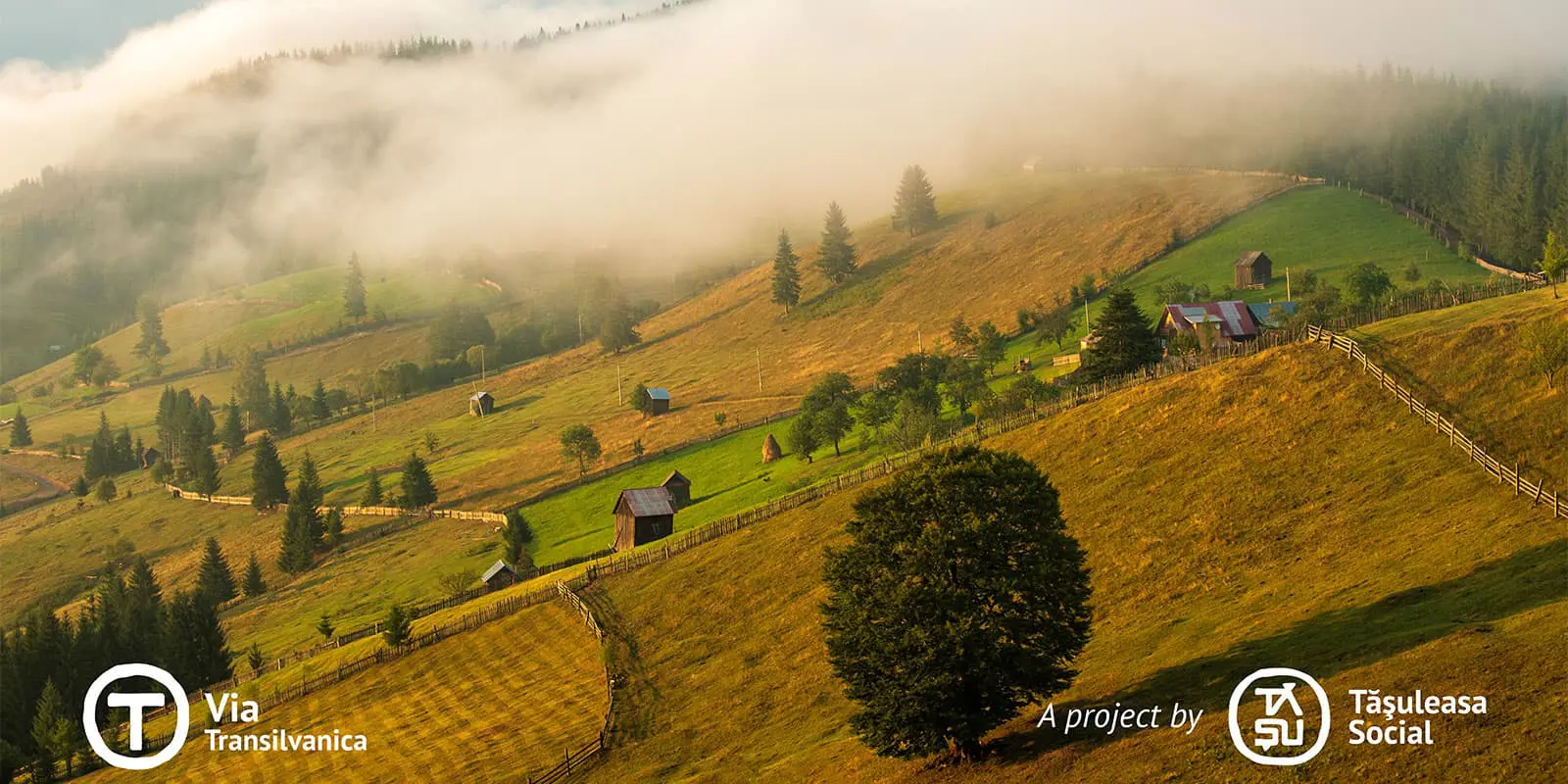
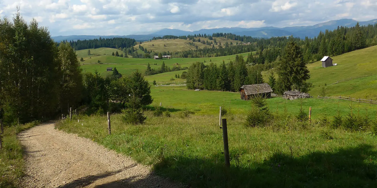
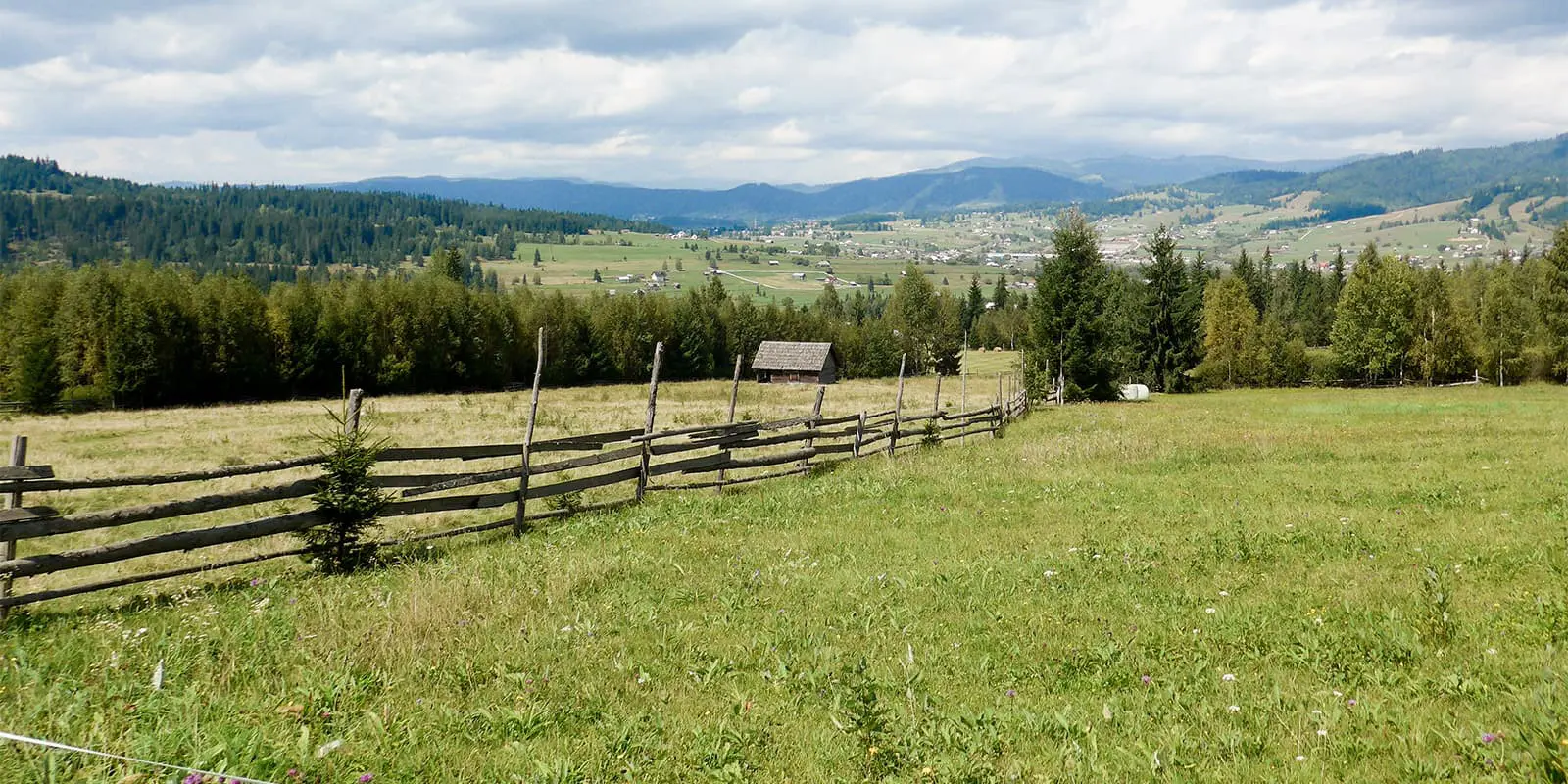
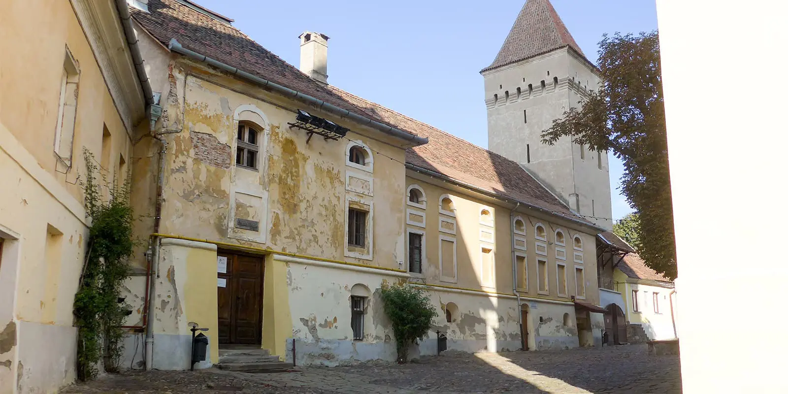
There are 7 sections with a total of 68 stages and 1,428 km. Most of the stages are between 10 and 25 km long, the longest is just over 40 km and unfortunately not divisible (you can easily go around it by train). The landscape is hilly, the northern part is mainly above 1000 meters, which is very pleasant in summer, the southern part is lower and can get very hot. You’ll for sure be interested in learning more about the multi-ethnic population as you walk through the different regions as well.

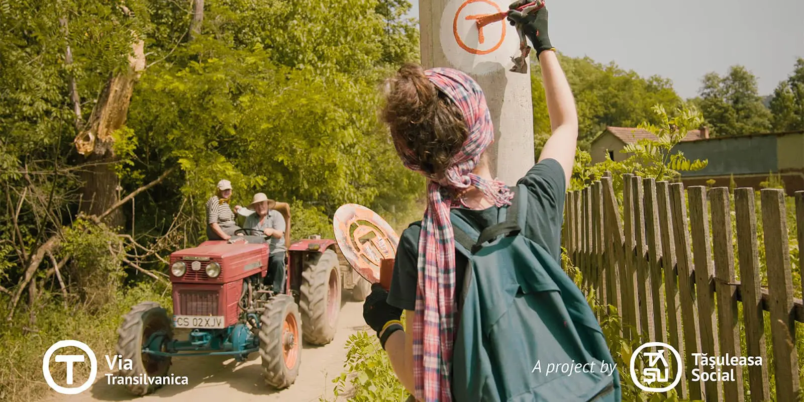
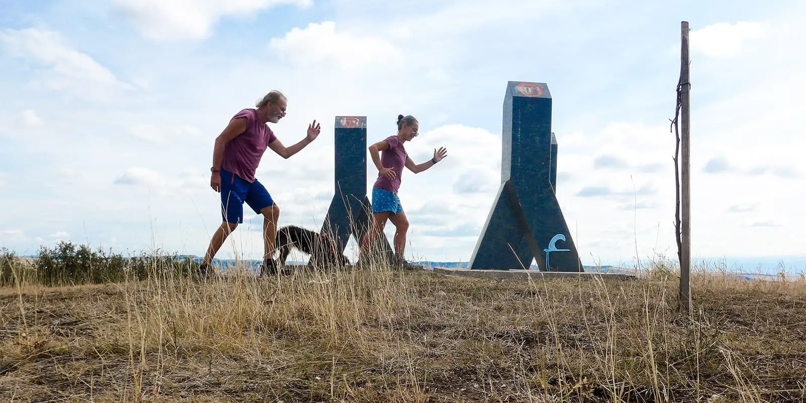
The Via Transilvanica is very well-marked along the entire route. In addition to the markings, there is also a stone stele every kilometer. Each of these stelae is individually designed by an artist. The trail is divided into seven sections, which correspond to Romanian provinces. There is a GPX track for each of these 7 sections.

The organizer, Tasuleasa Social, is very helpful. You can call them if there are any problems. We had to do this once because all the accommodations were fully booked and the weather was so bad that we didn’t want to camp. Tasuleasa Social takes care of hikers and has written a free guidebook that is constantly updated (available in Romanian, English, German, Hungarian, and Spanish).

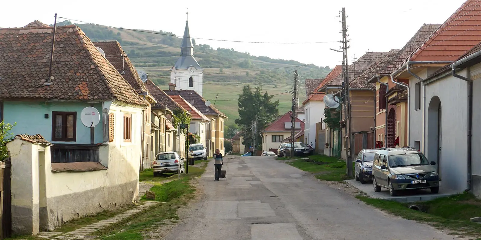
In addition to the usual information, this guide also contains the telephone numbers of potential hosts (most of them respond to WhatsApp). These hosts are mostly small guesthouses and families. Not only do they offer food and a place to sleep inexpensively, they are also very caring and welcoming. You’ll feel like you’re spending a night with friends. In this way, you also get to know the mentality and living conditions of the individual ethnic groups. Camping on the Via Transilvanica is of course also possible, but not necessarily advisable outside the villages because of the animals.

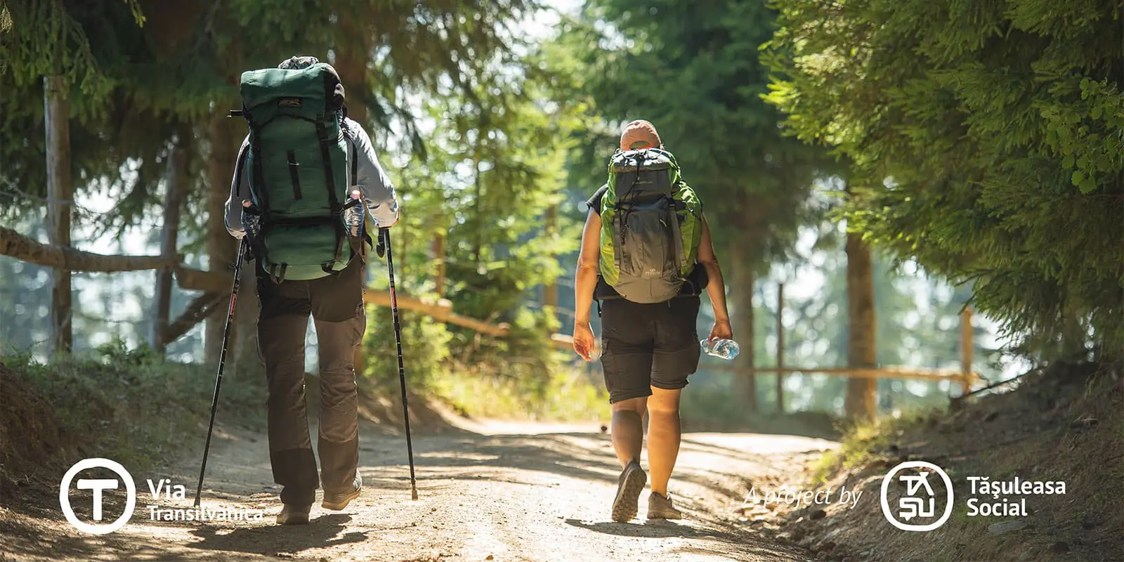
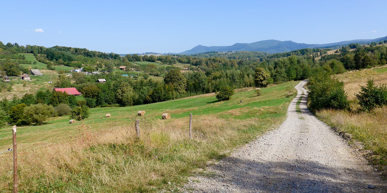
The landscape is predominantly hilly and no special skills are required, apart from the fitness levels that long-distance hikes always demand. There are no exposed stretches, the stages that overlap with roads are kept to a minimum and where there is no other option, the roads are usually not very busy.

Stages

The Via Transilvanica is divided into seven sections:

  • Bucovina (stages 1-6)
  • Highland (stages 7-17)
  • Terra Siculorum (stages 18-25)
  • Terra Saxonum (stages 26-36)
  • Terra Dacica (stages 37-51)
  • Terra Banatica (stages 52-62)
  • Terra Romana (stages 63-69)

69-stage itinerary

Stage 1:

Putna – Sucevița, 17 km | 10.5 mi (379m)

Stage 2:

Sucevița – Vatra Moldovițe, 21 km | 13 mi (1,178m)

Stage 3:

Vatra Moldoviței – Sadova, 22 km | 13.7 mi (937m)

Stage 4:

Sadova – Pasul Mestecăniș, 21 km | 13 mi (1,010m)

Stage 5:

Pasul Mestecăniș – Vatra Dornei, 21 km | 13 mi (546m)

Stage 6:

Vatra Dornei – Poiana Negri, 21 km | 13 mi (869m)

Stage 7:

Poiana Negri – Lunca Ilvei, 23 km | 14.3 mi (714m)

Stage 8:

Lunca Ilvei – Tășuleasa Social, 21 km | 13 mi (800m)

Stage 9:

Tășuleasa Social – Bistrița Bârgăului, 25 km | 15.5 mi (545m)

Stage 10:

Bistrița Bârgăului – Dorolea, 17 km | 10.5 mi (490m)

Stage 11:

Dorolea – Bistrița, 17 km | 10.5 mi (303m)

Stage 12:

Bistrița – Jeica, 25 km | 15.5 mi (486m)

Stage 13:

Jeica – Gledin, 25 km | 15.5 mi (713m)

Stage 14:

Gledin – Brâncovenești, 17 km | 10.5 mi (413m)

Stage 15:

Brâncovenești – Cașva, 20 km | 12.4 mi (541m)

Stage 16:

Cașva – Brădățel, 23 km | 14.3 mi (685m)

Stage 17:

Brădățel – Câmpu Cetății, 20 km | 12.4 mi (788m)

Stage 18:

Câmpul Cetății – Sovata, 17 km | 10.5 mi (608m)

Stage 19:

Sovata – Praid, 17 km | 10.5 mi (242m)

Stage 20:

Praid – Atia, 16 km | 9.9 mi (695m)

Stage 21:

Atia – Lupeni, 17 km | 10.5 mi (571m)

Stage 22:

Lupeni – Odorheiul Secuiesc, 24 km | 14.9 mi (743m)

Stage 23:

Odorheiu Secuiesc – Martiniș, 19 km | 11.8 mi (483m)

Stage 24:

Mărtiniș – Dârjiu, 30 km | 18.6 mi (641m)

Stage 25:

Dârjiu – Archita, 16 km | 9.9 mi (464m)

Stage 26:

Archita – Criț, 27 km | 16.7 mi (746m)

Stage 27:

Criț – Saschiz, 14 km | 8.7 mi (420m)

Stage 28:

Saschiz – Șapartoc, 18 km | 11.2 mi (702m)

Stage 29:

Șapartoc – Stejărenii, 25 km | 15.5 mi (657m)

Stage 30:

Stejărenii – Mălâncrav, 17 km | 10.5 mi (515m)

Stage 31:

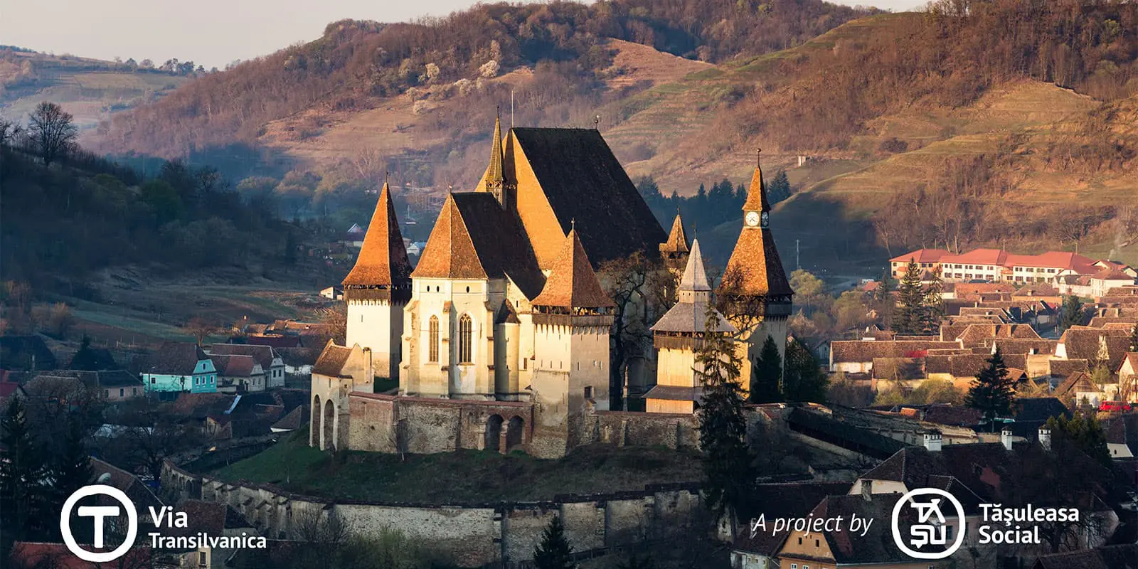
Mălâncrav – Biertan, 15 km | 9.3 mi (619m)

Stage 32:

Biertan – Nemșa, 15 km | 9.3 mi (558m)

Stage 33:

Nemșa – Mediaș, 20 km | 12.4 mi (556m)

Stage 34:

Mediaș – Bazna, 10 km | 6.2 mi (248m)

Stage 35:

Bazna – Axente Sever, 23 km | 14.3 mi (491m)

Stage 36:

Axente Sever – Micăsasa, 17 km | 10.5 mi (374m)

Stage 37:

Micăsasa –Valea Lungă, 11 km | 6.8 mi (457m)

Stage 38:

Valea Lungă – Blaj, 19 km | 11.8 mi (625m)

Stage 39:

Blaj – Secășel, 19 km | 11.8 mi (413m)

Stage 40:

Secășel – Alba Iulia, 32 km | 19.9 mi (546m)

Stage 41:

Alba Iulia – Sebeș, 18 km | 11.2 mi (362m)

Stage 42:

Sebeș – Pianu De Sus, 13 km | 8 mi (340m)

Stage 43:

Pianu De Sus – Cugir, 30 km | 18.6 mi (1,178m)

Stage 44:

Cugir – Ciungu Mare, 17 km | 10.5 mi (1,102m)

Stage 45:

Ciungu Mare – Măgureni, 16 km | 9.9 mi (999m)

Stage 46:

Măgureni – Sarmizegetusa Regia, 20 km | 12.4 mi (784m)

Stage 47:

Sarmizegetusa Regia – Fundătura Ponorului, 27 km | 16.8 mi (1,358m)

Stage 48:

Fundătura Ponorului – Hobița, 15 km | 9.3 mi (305m)

Stage 49:

Hobița – Nucșoara, 21 km | 13 mi (564m)

Stage 50:

Nucșoara – Sarmizegetusa Ulpia Traiana, 23 km | 14.3 mi (721m)

Stage 51:

Sarmizegetusa Ulpia Traiana – Bucova, 14 km | 8.7 mi (355m)

Stage 52:

Bucova – Marga, 16 km | 9.9 mi (608m)

Stage 53:

Marga – Oțelu Roșu, 14 km | 8.7 mi (65m)

Stage 54:

Oțelu Roșu – Caransebeș, 28 km | 17.4 mi (401m)

Stage 55:

Caransebeș – Poiana, 9 km | 5.6 mi (273m)

Stage 56:

Poiana – Gărâna, 22 km | 13.7 mi (608m)

Stage 57:

Gărâna – Secu, 26 km | 16.2 mi (921m)

Stage 58:

Secu – Reșița, 11 km | 6.8 mi (459m)

Stage 59:

Reșița – Iabalcea, 13 km | 8 mi (679m)

Stage 60:

Iabalcea – Canton Coșava, 26 km | 16.2 mi (1.287m)

Stage 61:

Canton Coșava – Prigor, 29 km | 18 mi (797m)

Stage 62:

Prigor – Crușovăț, 30 km | 18.6 mi (1.011m)

Stage 63:

Crușovăț – Prisăcina, 22 km | 13.7 mi (1.351m)

Stage 64:

Prisăcina – Valea Cernei, 12 km | 7.5 mi (608m)

Stage 65:

Valea Cernei – Obârșia Cloșani, 24 km | 15 mi (1.356m)

Stage 66:

Obârșia-Cloșani – Isverna, 11 km | 6.8 mi (457m)

Stage 67:

Isverna – Cireșu, 25 km | 15.5 mi (668m)

Stage 68:

Cireșu – Balotești, 20 km | 12.4 mi (634m)

Stage 69:

Balotești – Drobeta-Turnu Severin, 18 km | 11.2 mi (95m)

Accommodations

The accommodation providers listed in the guidebooks are simply recommendations, not contracted partners. Some of these are small guesthouses, municipal hostels, or private accommodation providers. As a rule, you will be provided with dinner and breakfast at the stage destinations. They try to accommodate dietary restrictions as well.

Only twice in 30 days were we unable to find accommodation, so we had to use our tent. Camping is possible, but it is advisable to camp in or near settlements, as there are bears and wolves. In any case, you should not keep any food around your tent.

In many places, there are grocery stores called Magazin. Most of them have a few small tables where you can eat what you bought as well.

Best time of the year

The best time to hike the Via Transilvanica is May – October. Winter in the Balkans can be an extremely unfriendly time of year, with heavy rainfall, often large amounts of snow, and cold northerly winds. It is therefore advisable to wait until spring. In midsummer, i.e. between July and mid-September, it can get extremely hot at lower altitudes, while at higher altitudes, from around 1000 meters, it is warm but pleasant.

Safety & Gear

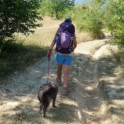
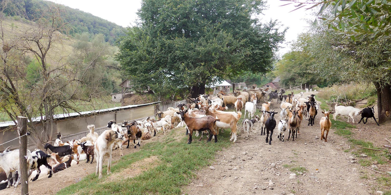
Everywhere in the Balkans, there are shepherd dogs, which can sometimes be perceived as frightening. Mostly, however, they are not dangerous. Hearing a strong word, or seeing a determined gesture, usually makes them turn back or seek your friendship, which can also be bought with a small piece of bread.

Bear tracks can be found everywhere. There are a lot of bears in Romania, but they avoid humans. It’s rare to see them. However, it is not advisable to go into the forest after dark. Many signs explicitly warn against this. You should be careful with pepper spray: Bears avoid people, but if you do encounter one, it is always when the wind is blowing in such a way that the bear cannot smell you. So you would attack the bear against the wind, and the wind would blow the pepper spray in your face.

We have not heard of any wolves or accidents with wolves, but there are definitely wolves present in the area.

Good to know

The organizer, Tășuleasa Social Association, is very helpful. You can write or call them and you will always find quick and competent help.

The free guidebooks of the Via Transilvanica on the website will also be very helpful planning your food, accommodations, and water for each stage.

Most of the time, there is a sufficient amount of water available, and there are these Magazins for re-supply. However, you might run short on water during the hot season.

route
Point-to-point
Highest point
1250m (4.101 ft)

Want to submit a trail or make this page more complete?

Always read the disclaimer

Terms of Use: important to all visitors on this website. We strive to publish high quality content and information on this website. However it’s always possible that we’re missing out on some crucial information. In spite of the fact that this route, associated GPS track (GPX and maps) were prepared under diligent research by the specified contributor and/or contributors, the accuracy of such and judgement of the author is not guaranteed. Therefore, hiking-trails.com and contributors are in no way liable for personal injury, damage to personal property, or any other such situation that might happen to individuals hiking or following this route. Should you choose to hike this trail, this is always at your own risk. Check out our guidelines for safety hiking and Leave No Trace principles at the hiking 101 page.

Download GPX

Join the community!

Login or create a FREE account 😊

With an account you can:

Download GPX files

Pin trails to your wishlist

Mark trails as hiked by you

Rate hiking trails

Comment on trails, blogs and gear reviews

Happy trails!
Login

Don't have an account yet? Register here