About the Via Podiensis

country
France, Spain
length
750 km(466 mi)
Type of trail
Pilgrimage, Long-distance
difficulty

Difficulty is highly personal. Be aware of the weather conditions as bad weather turns easier trails in difficult trails especially in the mountains.

Moderate
accommodation

Lodging means a mix of hotels, hostels or AirBnB’s.

Lodging, Camping
Elevation gain
15000 m(49213 ft)
terrain
Countryside, Forest, Hills
remoteness
Some of the time
Show more

This article focuses on the Via Podiensis, from Le-Puy-en-Velay. The Camino, in France, consists of multiple possible routes. Originally, pilgrims would start from home, and make their way up to Spain. In doing so, starting from France or further away from Santiago, it is likely that at some point the pilgrims would reach one of the 4 main routes: the Via Turonensis (from Tours), Via Lemovicensis (from Vezelay), Via Tolosana (from Arles) and the Via Podiensis (from Le-Puy-en-Velay). Those 4 routes were recognized by UNESCO as “Outstanding Universal Value.”

This route is, according to the statistics from Santiago, the one gathering most pilgrims from France, and is the most developed one in terms of accomodations.

Hadrien and Lisa profile picture

Hadrien & Lisa

Hadrien and Lisa weren’t born in the mountains, as they respectively come from Brittany (France) and Belgium, and live in the Netherlands. Nevertheless, over the past 10 years, they gradually gained experience and knowledge each year, ultimately leading them to Thru-hike the French Alps and the Pyrenees, as well as doing the Camino twice! You can follow Hadrien and Lisa on Instagram @the.wild.dukes

View profile

The Trail

The Via Podiensis consists of an official trail from the French hiking federation (GR65, passing through Le Puy-en-Velay), and is well-marked all the way up to Roncesvalles in Spain. The Via Podiensis is very popular among long-distance hikers and pilgrims, and that has its advantages and disadvantages. The advantage is an extensive network, facilities, services, and a well-marked trail. The drawback is that it can be very busy.

This trail walks you through multiple regions, from Le-Puy-en-Velay with hills and forests to start with, across countrysides, and up to a final mountainous day to cross the Pyrenees from Saint-Jean-Pied-de-Port to Roncesvalles.
Because the trail is well developed in terms of services, it can easily be section-hiked. A popular section is from Le-Puy-en-Velay to Conques. This section requires about 10 days and is approximately 250km.

From the start, the hiker will climb down the cathedral’s stairs, then gradually gain altitude to benefit from a breathtaking view of the city, its cathedral, and the volcanic peaks dominating the skyline.

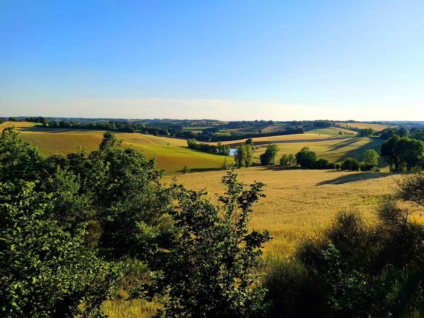
Soon after, the hiker will walk in the countryside full of blue wild violets (depending on the moment of the year, of course), over hills and across valleys, finally reaching Saint-Alban-sur-Limagnol after a few days.

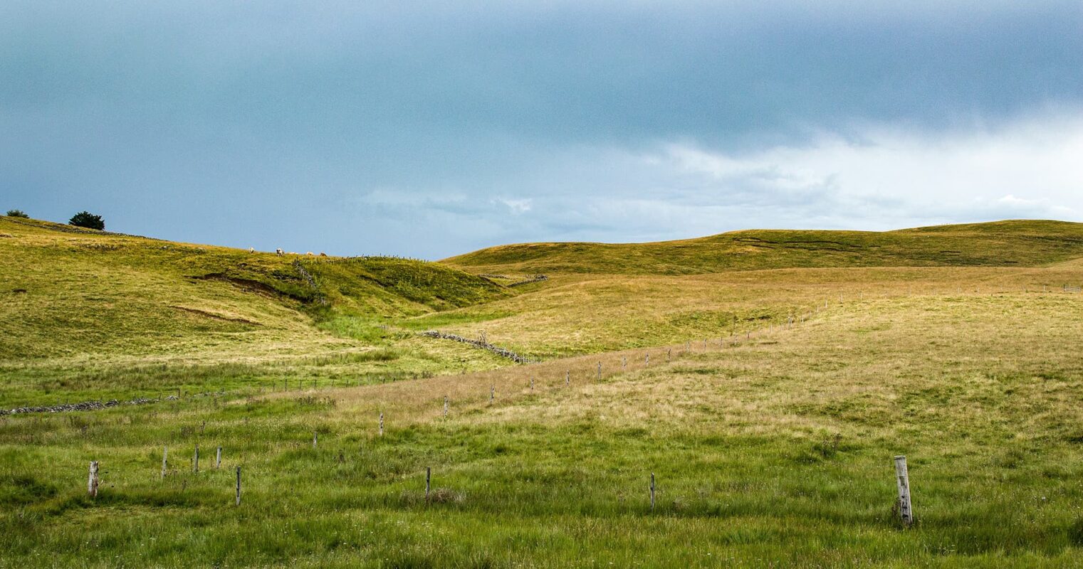
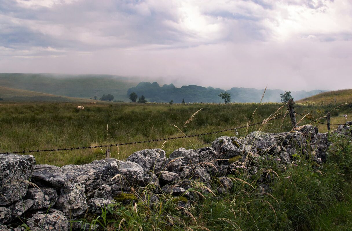
The next leg consists of crossing the wild plateau of Aubrac. A section known for its remoteness and everchanging weather, from a cold, mud and snowy spring day, to a sunny, foggy, or rainy summer day.

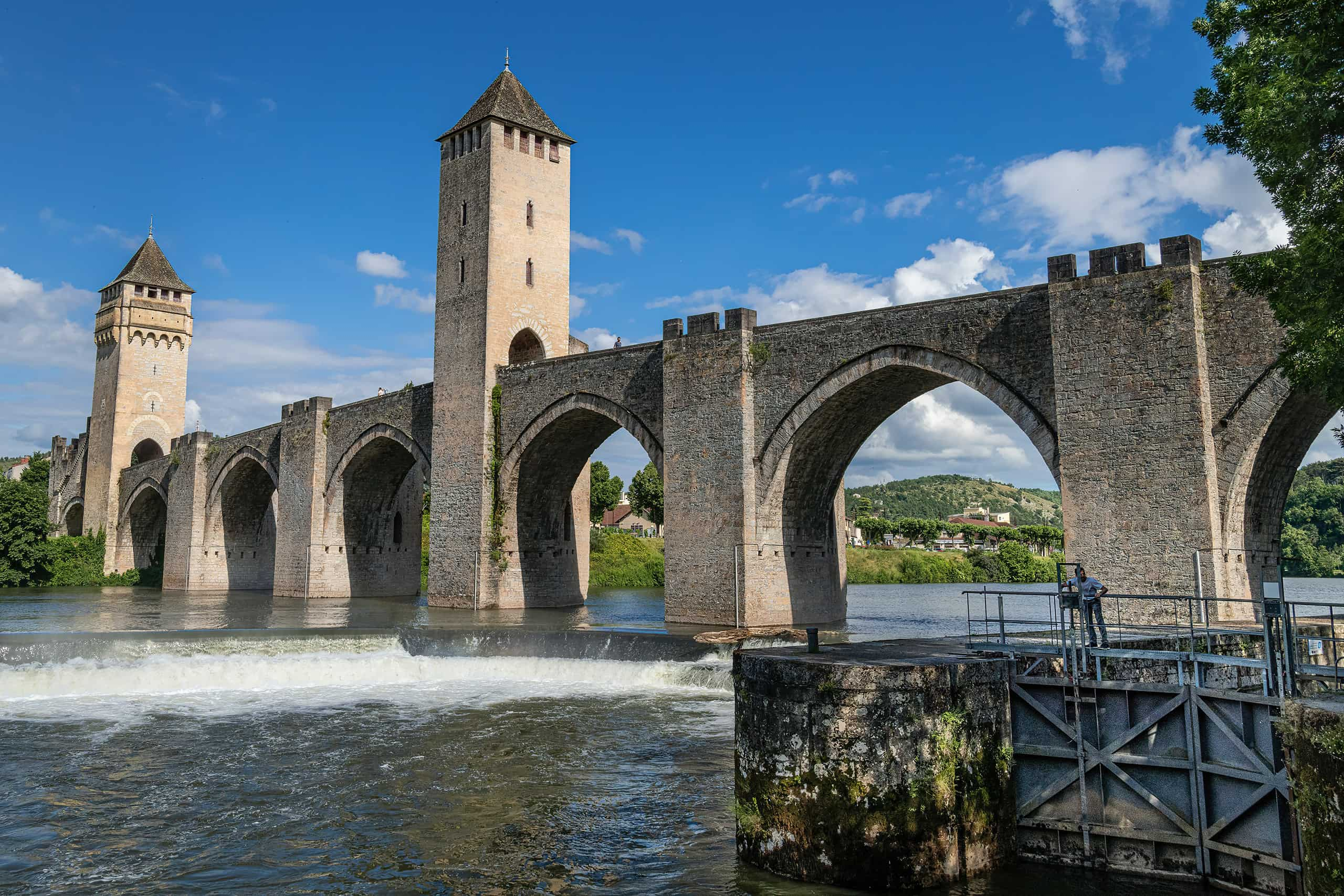
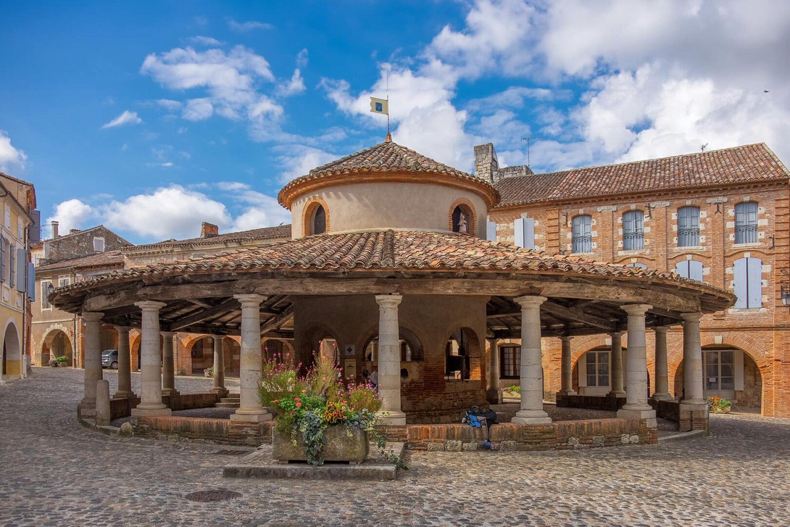
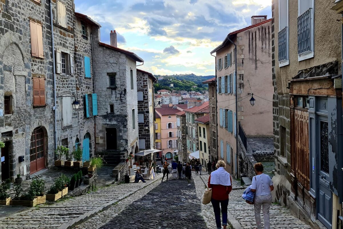
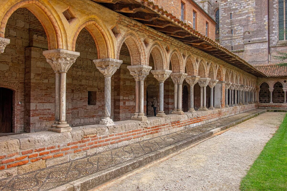
Descending then to the Lot Valley, hikers will walk through picturesque villages and towns, making their way through towns en route for “Most Beautiful Villages in France” distinctions.

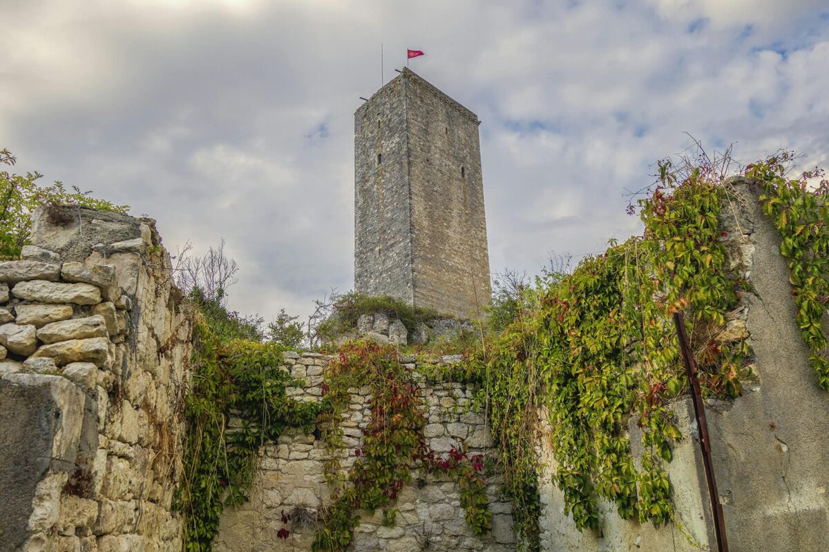
Finally comes the last climb and downclimb to Conques. A treacherous downhill over a rocky and possibly slippery trail to finish your ~10-day section from Le-Puy.

About 250km are behind you now, and if you are still up for it, the Via Podiensis continues for about 500km until Saint-Jean-Pied-de-port. From there, hikers will have the possibility to:

  • Stay on the Via Podiensis for a day over the Pyrenees up Roncesvalles to continue with the Camino Frances.
  • Diverge from the Via Podiensis, for a few days on the GR10 up to Hendaye, to continue on the Camino del Norte.

It is important to notice that along the Via Podiensis, hikers will have the possibility, for some sections, to choose between the official trail or some historical detours (usually highlighted in guidebooks).

Specifically, the path between Figeac and Cahors can consist of 3 different routes. The official GR65, the Célé Valley detour, or the Rocamadour detour. The authors recommend visiting the local tourism offices to pick between the few possible routes.

Accommodations

The Via Podiensis is well-developed in terms of accommodations. When hiking this trail, you will likely sleep in public or private Albergue. Those accommodations are legions along the way, however, please note that you will require a “credential” to sleep in pilgrims’ Albergues. These credentials can be bought in churches along the way, for example in Le Puy en Velay cathedral if you choose to start from there. Credentials can also be bought before your hike, whether online or in your local pilgrim associations.

It is also possible to sleep in B&B and camping spots, however these are more spread out.

Book your accommodations at least 2 days before, if not a few months in advance, as the Via Podiensis is a popular place among hikers and pilgrims. Booking will peace your mind and ensure you have a bed at the end of the day. However, be responsible and only book a bed in a single location per night, and commit to your booking or release your booking soon enough so that other hikers/pilgrims can benefit from it.

Best time of the year

The best time of the year to hike the Via Podiensis is undoubtedly from May to the end of September. As you’re hiking on the Camino, be aware that there might be some challenging weather along the way, particularly in the Aubrac region, and when crossing the Pyrenees to reach Roncesvalles.

The weather in those areas can change rapidly, so it’s important to be prepared for various conditions, including sudden rain and storms/lightning or even snow showers. Always check trail conditions, and local weather forecasts before embarking on the hike.

In theory, apart from the Pyrenees day and Aubrac day, for which winter and snow conditions might affect the possibility of completing the leg, the trail is possible to hike across the whole year. Only the accommodations and services must be checked for their opening/closing dates.

Safety & Gear

Begin by thoroughly researching the trail and familiarizing yourself with its route, terrain, and potential hazards. Check any alternate routes you want to take and how they’ll change the original itinerary.

Before setting out each day, check the weather forecast and prepare for variable conditions, especially in mountainous areas. Dress appropriately in layers and wear sturdy footwear to navigate various terrains comfortably. Pack essential items such as water, snacks, a first aid kit, and a GPX device for emergencies.

While hiking, stay on designated paths and be mindful of traffic when crossing roads or navigating through towns. Avoid hiking during extreme weather conditions, such as thunderstorms or heat waves, and seek shelter if necessary.

Listen to your body and pace yourself accordingly, taking breaks as needed to rest and rehydrate. Be respectful of local customs and regulations, especially when visiting religious sites and cultural landmarks along the pilgrimage route.

Good to know

The Via Podiensis is well-developed in terms of accommodations, but can also be very busy. Make sure you book accomodations at least 2 days in advance, if not a few weeks/months before. Wild camping on this trail is not allowed.

There are enough water points along the way. However make sure you double-check with local inhabitants and carry enough water with you in the summer months, as regional weather conditions might have lowered the possibility to refill along the way.

Route
Point to point
Highest point
1324m | 4344 ft

Want to submit a trail or make this page more complete?

Comments

Be the first one to comment on this trail!

Reply to this trail

Your email address will not be published. Required fields are marked *

Reply to this trail

Log in to comment on this trail
Always read the disclaimer

Terms of Use: important to all visitors on this website. We strive to publish high quality content and information on this website. However it’s always possible that we’re missing out on some crucial information. In spite of the fact that this route, associated GPS track (GPX and maps) were prepared under diligent research by the specified contributor and/or contributors, the accuracy of such and judgement of the author is not guaranteed. Therefore, hiking-trails.com and contributors are in no way liable for personal injury, damage to personal property, or any other such situation that might happen to individuals hiking or following this route. Should you choose to hike this trail, this is always at your own risk. Check out our guidelines for safety hiking and Leave No Trace principles at the hiking 101 page.

Download GPX

Join the community!

Login or create a FREE account 😊

With an account you can:

Download GPX files

Pin trails to your wishlist

Mark trails as hiked by you

Rate hiking trails

Comment on trails, blogs and gear reviews

Happy trails!
Login

Don't have an account yet? Register here