About the Vanoise hut-to-hut

Alps
country
France
length
62 km(39 mi)
Type of trail
Hut to hut, Long-distance
difficulty

Difficulty is highly personal. Be aware of the weather conditions as bad weather turns easier trails in difficult trails especially in the mountains.

Moderate
accommodation

Lodging means a mix of hotels, hostels or AirBnB’s.

Mountain huts, Camping
Elevation gain
2960 m(9711 ft)
terrain
Mountains
remoteness
Most of the time
Show more

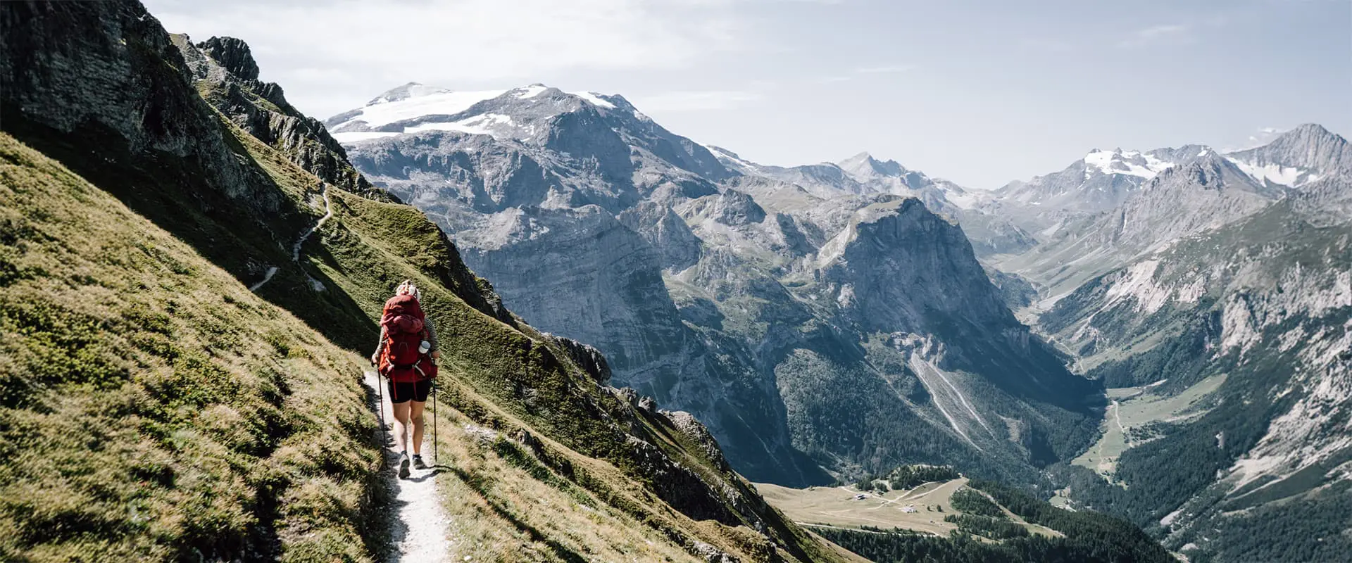
The mountain landscapes of the Vanoise are at least as beautiful as more popular regions in the French Alps and mountain regions abroad. But it is surprising how little the area is known aside from hikers in France. However, this is a big plus for the hikers who do know of its existence, because the paths and huts in this unspoiled landscape are way less crowded than elsewhere.

This Vanoise hut-to-hut tour is not an existing route, but one I made based on my wishes: spectacular views, feeling far away from civilization, passing mountain lakes, and being vertigo-friendly. Therefore, the trail is not waymarked, although stages 2 and 3 overlap with the Tour des Glaciers de la Vanoise.

paulien profile picture
Author

Paulien van der Werf

Paulien van der Werf has loved camping from a young age, but her love for long-distance trails grew when she was 23. That hiking trip in Scotland ignited a love for hiking, wild camping, and remote areas so strong that she left her job and apartment behind to become a full-time hiker and – later – cyclist. You can follow her adventures on Instagram @outdoorinspiratie.

View profile

The Trail

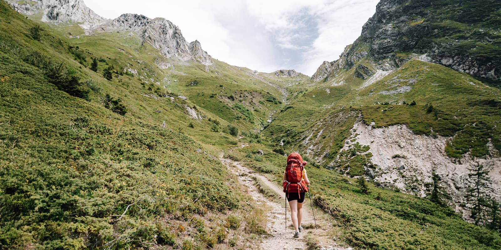
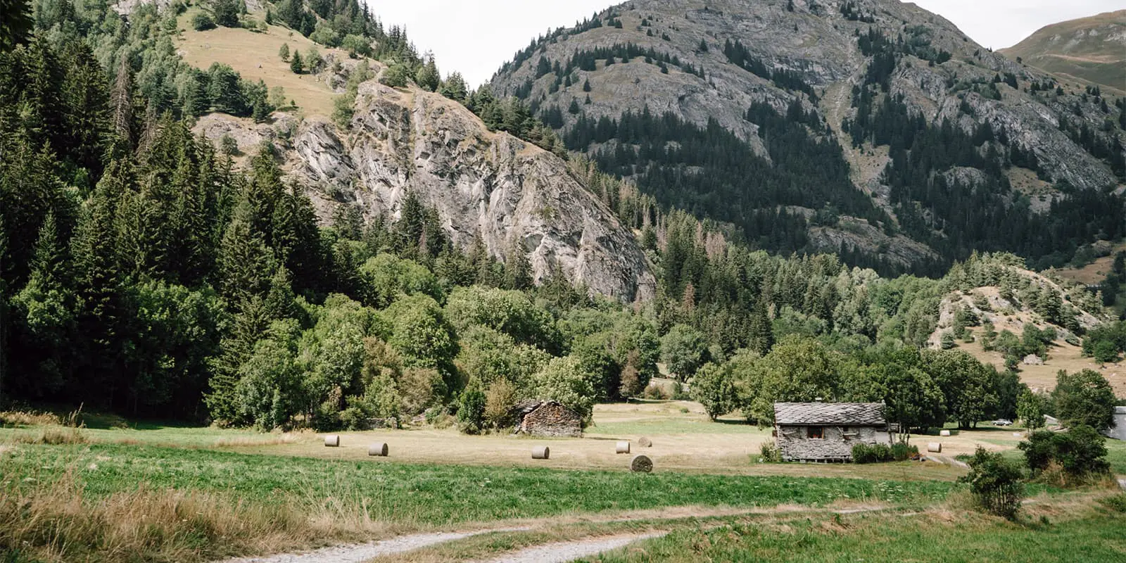
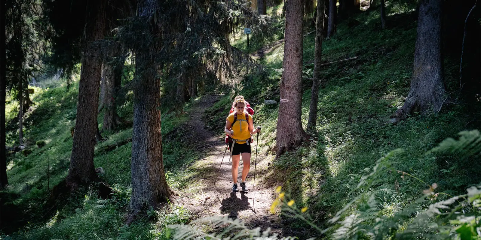
You start your Vanoise adventure with a long walk to a higher altitude. The forest and mountain pasture paths are easy, but under the unforgiving French sun, they are still quite a challenge. The good news: once you’ve reached the hut at the end of stage one, there won’t be much more ascending on the rest of the trail. The sunrise over the mountain tops on the other side of the valley, seen from Refuge du Grand Bec, is a great reward for your efforts.

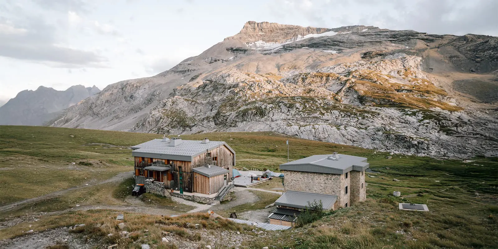
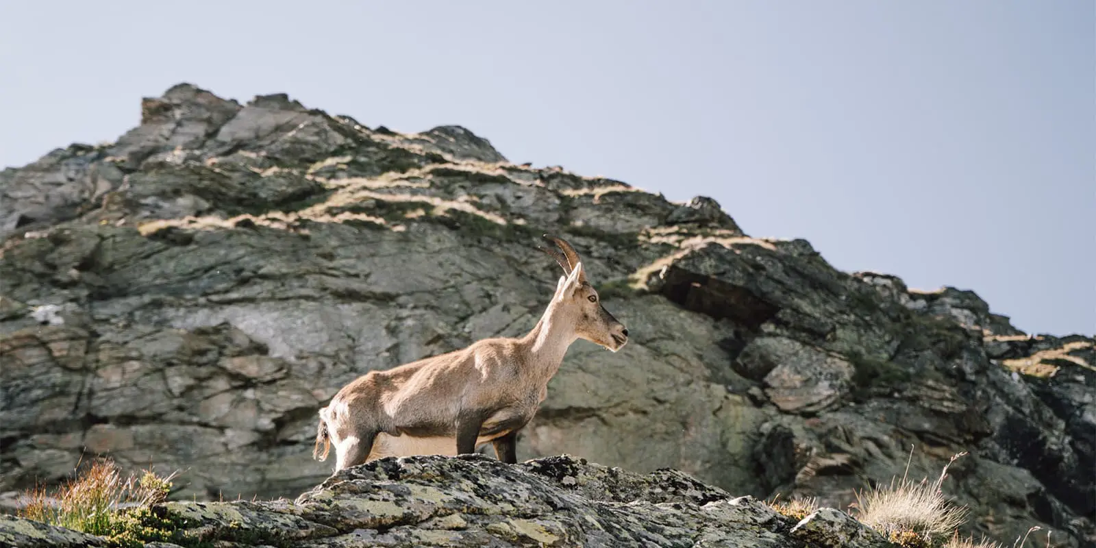
The second stage is spectacular from start to end. Walk under an almost vertical rock wall between massive boulders that have broken in two. Cross a col into a high valley filled with loose rocks, and another col treating you to different mountain views. Follow a path on the mountainside along ice-blue pools at the bottom of snowfields. Use the stepping stones to cross the very shallow Lac des Vaches. A last ascent of the day leads you past Lac Long to the recently modernized Refuge du Col de la Vanoise. Don’t go to bed right after dinner, but go for an evening stroll in the direction of the sunset. There is often a large group of ibex grazing the plateau, and you can see them from above.

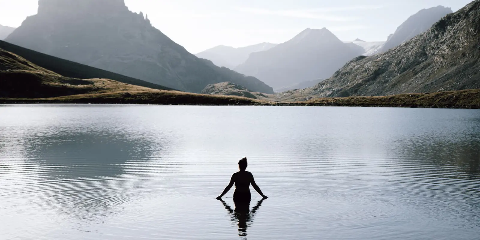
Start the third stage with a refreshing dip in the Lac Rond along the path from the refuge. It’s mirroring the high tops at the horizon, making it one of the most dreamy spots to take a morning dip. Follow the path, curving between large boulders. On your left, you will see a valley with dark rubble slopes, making you doubt whether you unwittingly traveled to Iceland overnight. Walk past more lakes and admire the glaciers of the Vanoise nature reserve. Next, you cross the Glacier River by a decent bridge and say hi to the many chamois while you continue your way to Refuge de l’Arpont. The views from the dining room and the terrace will provide you with panoramic views from wherever you are.

The fourth stage is a long, steep descent. You could make this stage longer by following the Tour des Glaciers de la Vanoise a bit further before starting your descent. Do check if that works out with (public) transport from your endpoint to accommodation nearby. The more you descend, the greener and more biodiverse the landscape becomes. It feels like an oasis in a desert of rock. Listen to the sounds of the insect choir in the pastures and follow the river to the small town of Val-Cenis.

Stages

4-stage itinerary

Stage 1:

Champagny-en-Vanoise – Refuge du Grand Bec, 10.4 km | 6.5 mi

Stage 2:

Refuge du Grand Bec – Refuge du Col de la Vanoise, 10.9 km | 6.8 mi

Stage 3:

Refuge du Col de la Vanoise – Refuge de l’Arpont, 13.9 km | 8.6 mi

Stage 4:

Refuge de l’Arpont – Val-Cenis, 8.7 km | 5.4 mi

Accommodations

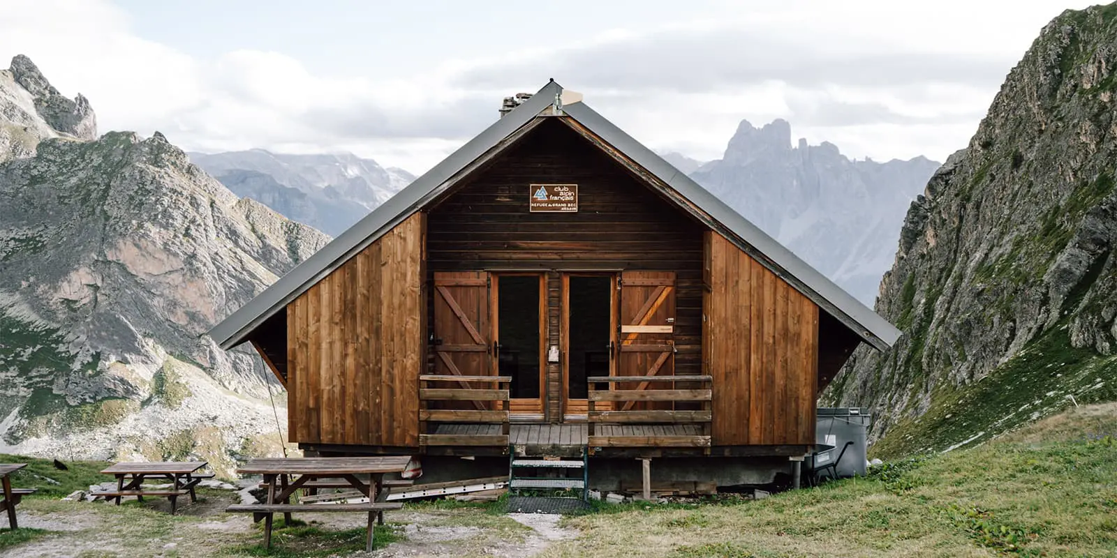
Every stage ends at a mountain hut. The first one is ‘traditional:’ relatively small for the number of people staying, with narrow lagers, an outdoor toilet, and no shower. The other two are more modern, with fewer and bigger beds in the rooms, more space in the common room, and indoor bathrooms with showers.

You can enjoy a delicious, basic 3-course meal at all three. Each night there will be wine and water on the table, as you are in France after all. There are even limited kitchen facilities for those who like to prepare their own meals. But if you cook your own meal, you are not welcome at the dining tables and might have to eat outside or after everyone has finished.

Do you prefer to sleep in your tent? For 5 euros a night, you can pitch your tent in one of the bivouac spots near the huts. These spots are more scarce than the beds, so book in time. As a camper, you can use the facilities of the hut and order half board too. This hut-to-hut tour lies fully in a nature reserve where wild camping outside the huts’ bivouac spots is strictly forbidden.

As a member of a mountaineering club, you get a 50% discount on your stay in each of the huts. For showers, you’ll need euros.

Mountain huts per stage

Best time of the year

The best time to hike this Vanoise hut-to-hut tour in the Vanoise is the height of summer. In July and August, the chance that snow is covering the paths is the lowest. This region is not known for heavy thunderstorms, but you are still in the mountains and should be careful. The people running the huts will communicate the weather forecast for the next day during dinner. Be extra careful in June and September, when the huts might still be open, but snowfall might force you to change your plans. Also, keep in mind that navigating these trails is a lot harder and possibly unsafe when low-hanging clouds cause poor visibility.

Summer days might be quite hot, with not a cloud in the sky. Bring a towel and a swimsuit if you want to take a quick dip in one of the mountain lakes along stages 2 or 3. These stages are busier than the other two, so you might have some company.

Safety & Gear

This route is beginner- and vertigo-friendly. There are no technically challenging paths, but you should still prepare properly. Train for steep and long uphills (day one), wear shoes or boots with proper profile, take a map, and keep an eye on the weather forecast.

Phone signal is patchy to non-existent, and not all mountain huts offer charging points. Take powerbanks or a solar charger and save maps in wayfinding apps offline. The path takes you to high elevation, so check the snow conditions before you set off. Bring plenty of food and water, because there are no shops on the way. There are good meals available in each of the huts, although you should bring your own snacks. Book the mountain huts in time, because there are no alternative huts when one of them is full upon arrival.

Good to know

The Vanoise hut-to-hut tour leads through a nature reserve. Dogs are not welcome, and wild camping is forbidden. There are bivouac spots near the huts. For these, you pay 5 euros a night for your spot, which allows you to use the facilities of the huts. Book these spots way in advance, because there is limited availability. As a member of a mountaineering club, you get a 50% discount on your stay, which means you book a bed for 10 euros a night.

Route
Point to point
Highest point
580m (84650 ft)

Want to submit a trail or make this page more complete?

Always read the disclaimer

Terms of Use: important to all visitors on this website. We strive to publish high quality content and information on this website. However it’s always possible that we’re missing out on some crucial information. In spite of the fact that this route, associated GPS track (GPX and maps) were prepared under diligent research by the specified contributor and/or contributors, the accuracy of such and judgement of the author is not guaranteed. Therefore, hiking-trails.com and contributors are in no way liable for personal injury, damage to personal property, or any other such situation that might happen to individuals hiking or following this route. Should you choose to hike this trail, this is always at your own risk. Check out our guidelines for safety hiking and Leave No Trace principles at the hiking 101 page.

Download GPX

Join the community!

Login or create a FREE account 😊

With an account you can:

Download GPX files

Pin trails to your wishlist

Mark trails as hiked by you

Rate hiking trails

Comment on trails, blogs and gear reviews

Happy trails!
Login

Don't have an account yet? Register here