Book release!Pre-order: Hiking Trails (in English!)

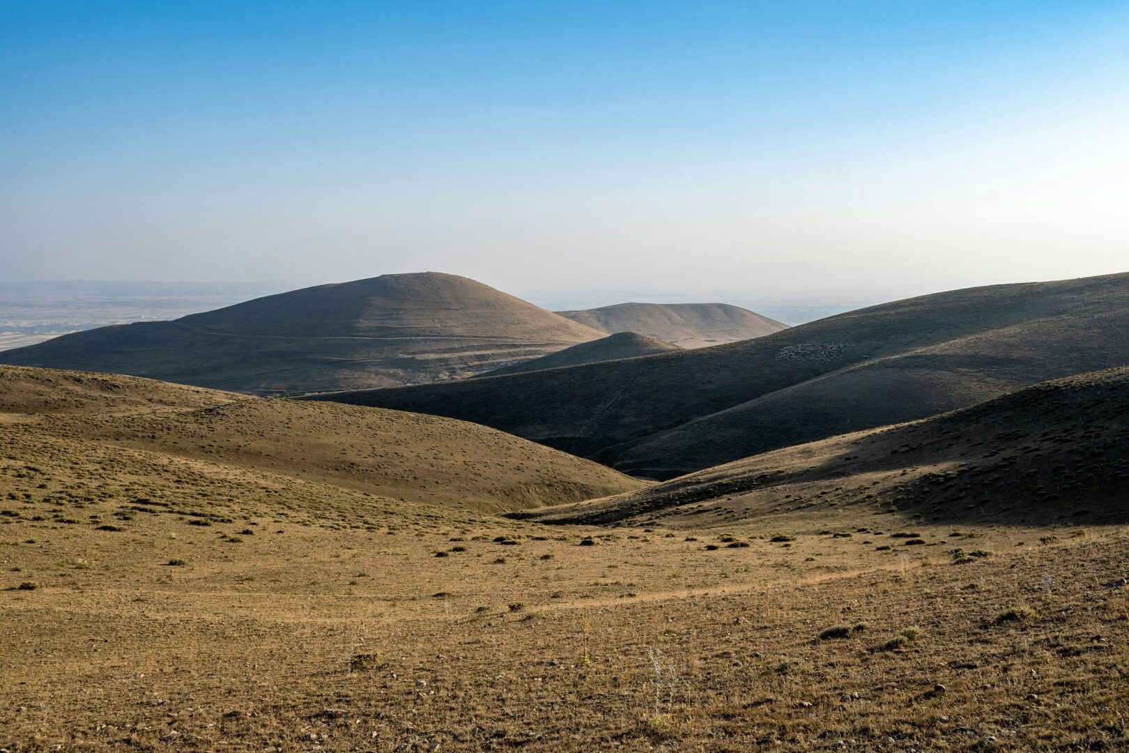
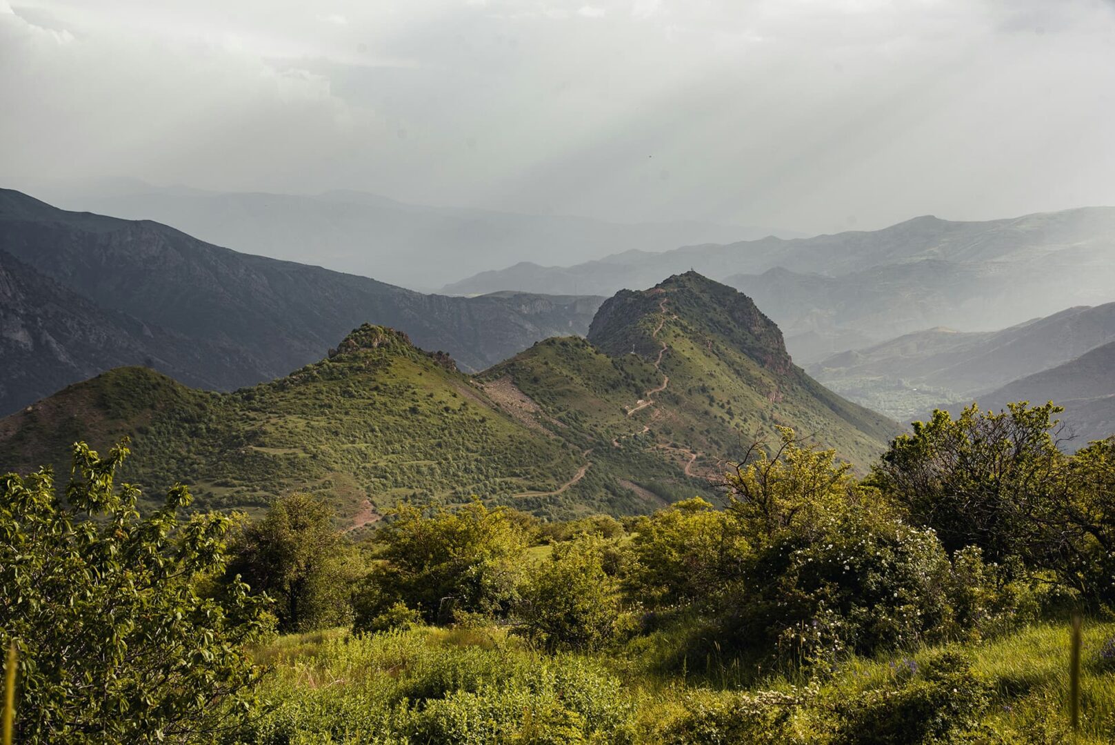
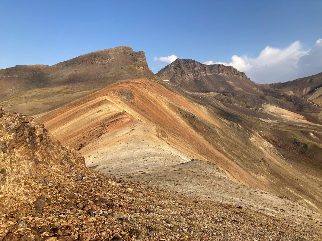
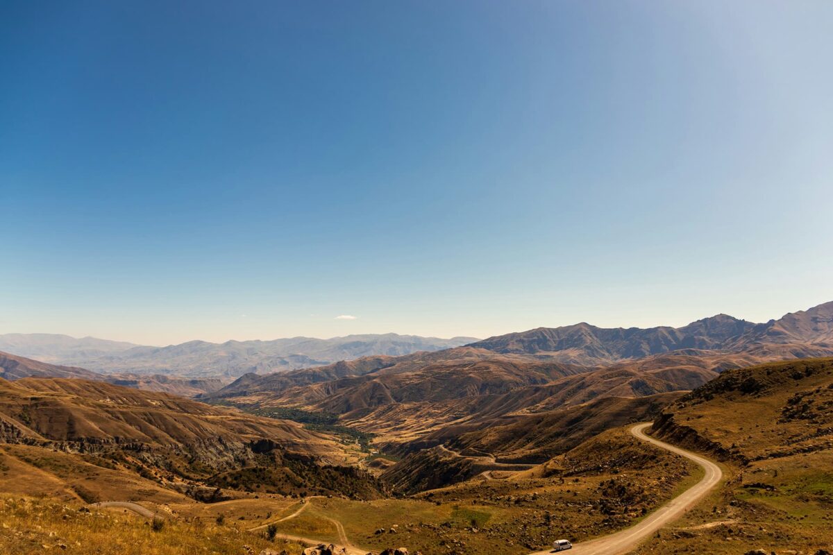
The Transcaucasian Trail Armenia is 861 kilometers (535 miles) of wild terrain between Armenia’s northern border at Lake Arpi and its southern border at Meghri. The route weaves through red desert canyons, treeless steppe, lush hills, insane cliffs, high-altitude volcanic plateaus, and just about everything in between.
The full Trans Caucasian Trail (TCT) is a long-distance route across Georgia, Armenia, and Azerbaijan. In 2015, the TCT Association was officially established to coordinate the planning and development of the trail. Since then, volunteers and professionals have worked to map out routes, build infrastructure, and promote sustainable tourism practices. The Armenia and Georgia sections are open for skilled thru-hikers, and the Azerbaijan section is still under development.