About the Trail of Saas-Fee

Alps
country
Switzerland
length
7.7 km(5 mi)
Type of trail
Day hike
difficulty

Difficulty is highly personal. Be aware of the weather conditions as bad weather turns easier trails in difficult trails especially in the mountains.

Moderate
accommodation

Lodging means a mix of hotels, hostels or AirBnB’s.

Lodging, Mountain huts
Elevation gain
651 m(2136 ft)
terrain
Mountains, Forest
remoteness
None of the time
Show more

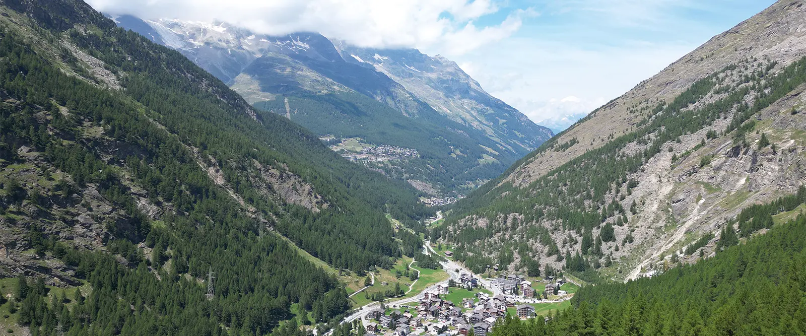
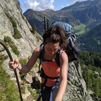
Saas-Fee, a region that is nestled in the Swiss Alps, has over 350 kilometers (220 miles) of hiking trails and numerous alpine paths. The area is well known for its views of 18 peaks exceeding 4,000 meters (13000 ft). Whether you’re a winter sports enthusiast, a hiker, a mountain biker, a mountaineer, or a climber, the Saas-Fee area has something for everyone!

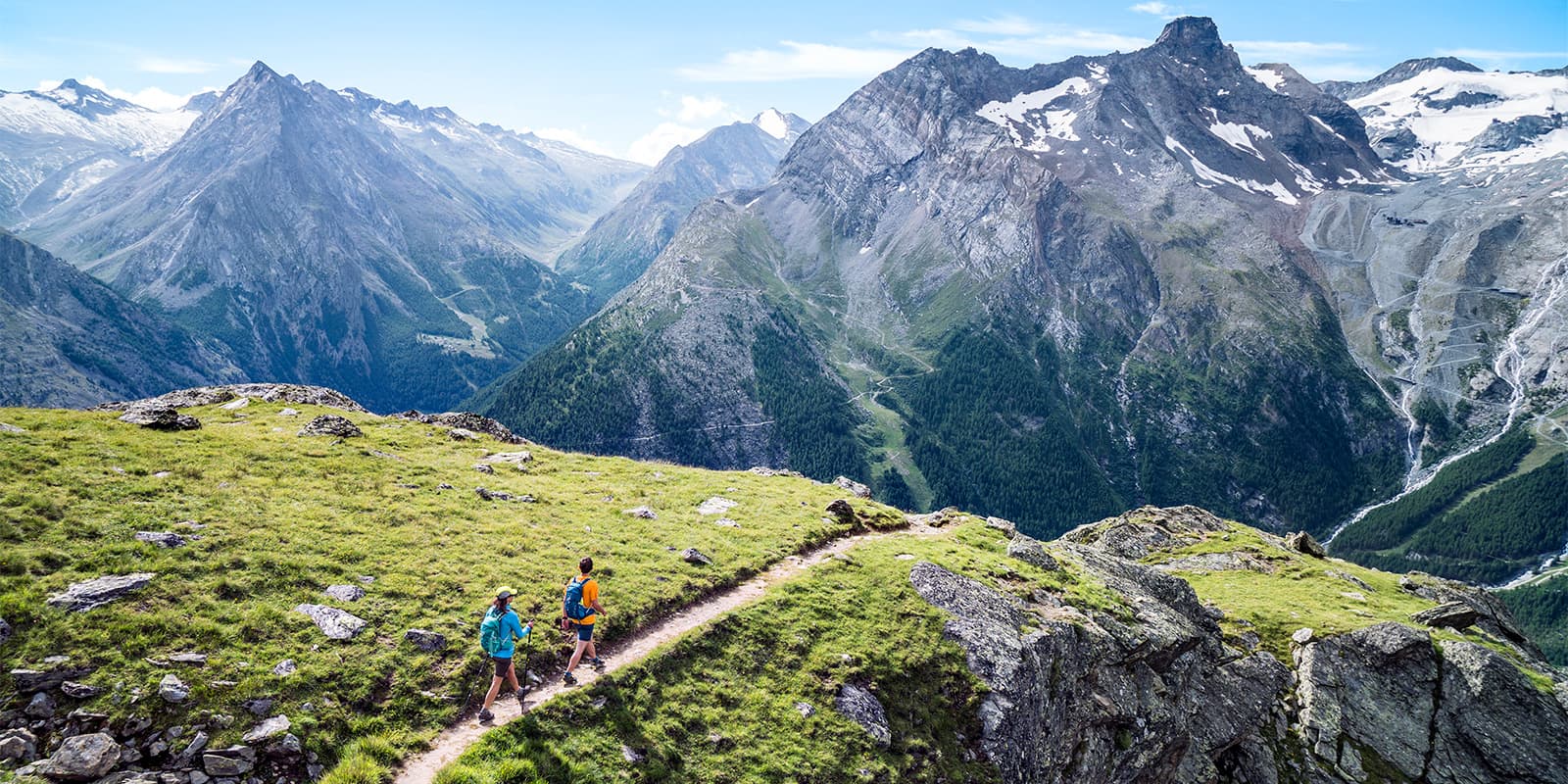
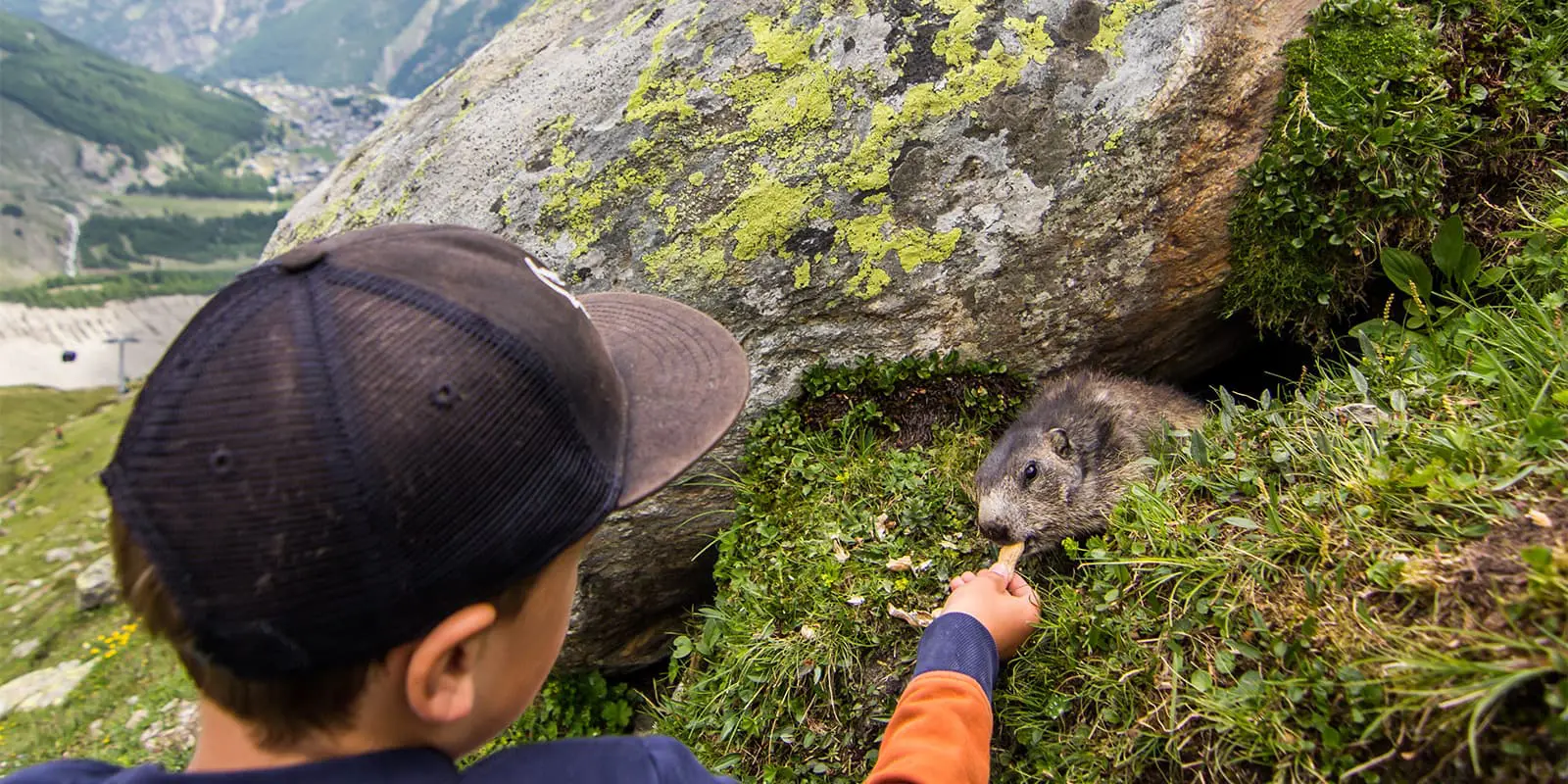
One of multiple day hikes around this area is the 7.6 kilometer (4.7 mi) Trail of Saas-Fee, which leads from Hanning to Spielboden mountain station. Along the trail, there are also numerous educational plaques that provide information about nature, vegetation, wildlife, and the glaciers around Saas-Fee as well as the Saas Valley.

Merle profile picture

Merle Wünderling

Merle is an outdoor enthusiast who’s passionate about hiking, rock climbing, mental health, and sustainability. Born in Germany but at home in the world, she’s hiked trails in New Zealand (Abel Tasman Coast Track, Kepler Track), Europe (Rota Vicentina/ Fishermen’s Trail, Tour du Mont Blanc, GR20 Corse, Kungsleden… ), and the Balkans (Peaks of the Balkans). Over the years she became a bit of a nerd, constantly improving her gear for upcoming hikes, such as GR11 Spain, Tour des Ecrins, Te Araroa, and the Transcaucasian Trail.

You can follow Merle on Instagram @merlewunderkind.

View profile

The Trail

From the Hannig mountain station, the trail leads across the Torrenbach to Schönegg, where a short but steep descent will take you to the Mischabel hut. From here, there are options to extend your trail. The following glacial lake, Gletschersee, as well as the terrace of the Gletschergrotte, invite you to linger and are worth a visit if you have the time and energy.

Once you’re ready to continue the hike, freshly fortified, the route continues with a climb to Spielboden, where you might be able to spot marmots if you’re lucky. From Spielboden mountain station, you can then take the gondola back down to the valley. It’s easy to hike the Trail of Saas-Fee in either direction.

Accommodations

If you want to extend your stay to explore the area, you can find all kinds of accommodation options on the Saas-Fee/ Saastal website.

Best time of the year

The best time of the year to hike the Trail of Saas-Fee is from July to October, when there is no snow. This is the high season for the Saas-Fee region as well, which means there will be a higher influx of visitors. To prepare for this, it will be best to book your hotel ahead of time and get the Saastal Card to be ready for getting around the area.

Safety & Gear

Take as little as possible and as much as needed: Wear layers, suitable footwear, and be prepared for rain and shine. Check out our day-hiking gear list for inspiration.

The trail is well marked, but it is always wise to bring an additional map or GPS. If you walk by yourself, share your plans with somebody else for your own safety. Also, remember to bring a first-aid kit.

The weather in the high mountains can change rapidly. Always check the trail conditions and local weather forecasts, be prepared for all conditions, including rain, sun, or snow, and alter your itinerary if needed. Also, check the current information on the Saas-Fee/ Saastal Website as well as the opening hours of the cable cars beforehand.

Make sure to stay properly hydrated and bring at least two liters of water with you. When it comes to nutrition, it is easiest to bring snacks, such as energy bars, nuts, or dried fruits, to maintain your energy level.

Difficulty

The Trail of Saas-Fee is a hiking trail that is rated as moderate. It involves some steep sections which require a general level of fitness and surefootedness. You’ll want to be physically prepared ahead of time and ready to hike a substantial amount uphill, but most likely will not need to enter a full training regime before a day hike like this.

Check the trail conditions before you go. Rain, harsh winds, and winter weather can make any hike much more difficult, not to mention also more dangerous. You can check the weather by looking at the webcams on the Saas-Fee website or on local weather websites, such as the one linked below.

Good to know

The Trail of Saas-Fee in Saas-Fee/Saastal can be reached easily by public transport or car. To use public transport, take the SBB to Visp and from there the Bus 511 in the direction of Saas-Fee.

By car, take either the Lötschberg car transport from the north, the Furka Pass/ Furka car transport from the east, or the Simplon Pass/ Simplon car transport from the south. From Visp, drive towards Saas-Fee, where you will find a car park at the entrance.

route
point-to-point
highest point
2448m (8031 ft)

Want to submit a trail or make this page more complete?

Always read the disclaimer

Terms of Use: important to all visitors on this website. We strive to publish high quality content and information on this website. However it’s always possible that we’re missing out on some crucial information. In spite of the fact that this route, associated GPS track (GPX and maps) were prepared under diligent research by the specified contributor and/or contributors, the accuracy of such and judgement of the author is not guaranteed. Therefore, hiking-trails.com and contributors are in no way liable for personal injury, damage to personal property, or any other such situation that might happen to individuals hiking or following this route. Should you choose to hike this trail, this is always at your own risk. Check out our guidelines for safety hiking and Leave No Trace principles at the hiking 101 page.

Download GPX

Join the community!

Login or create a FREE account 😊

With an account you can:

Download GPX files

Pin trails to your wishlist

Mark trails as hiked by you

Rate hiking trails

Comment on trails, blogs and gear reviews

Happy trails!
Login

Don't have an account yet? Register here