About the Tour du Grand-Chavalard

Alps
country
Switzerland
length
12 km(7 mi)
Type of trail
Day hike
difficulty

Difficulty is highly personal. Be aware of the weather conditions as bad weather turns easier trails in difficult trails especially in the mountains.

Moderate
accommodation

Lodging means a mix of hotels, hostels or AirBnB’s.

Mountain huts
Elevation gain
789 m(2589 ft)
terrain
Mountains
remoteness
Some of the time
Show more

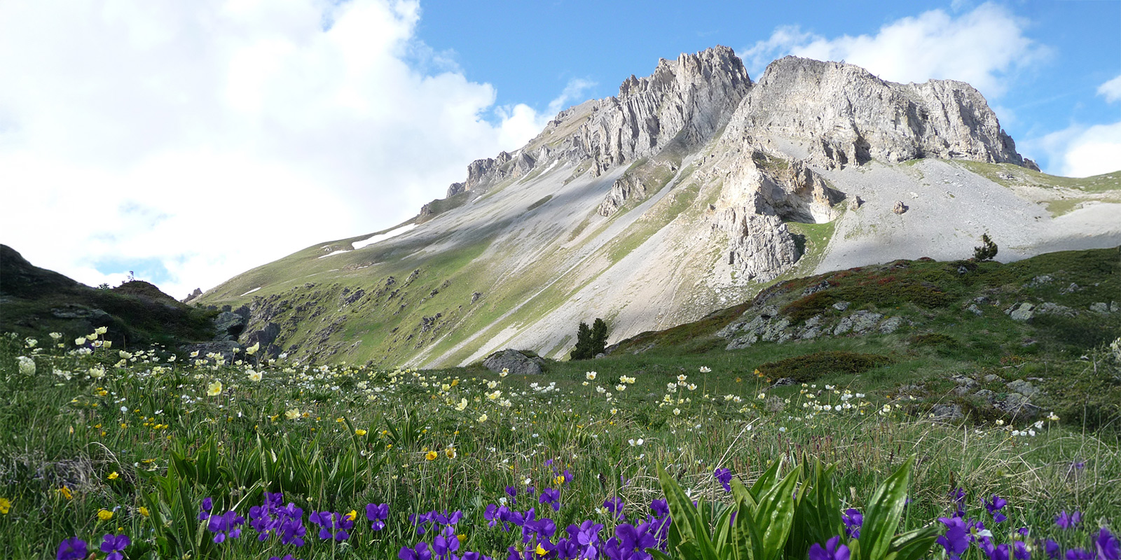
The Grand Chavalard, which stands at 2898 meters, is the highest peak on the slope above Fully. This hike goes around it at an altitude between 1850 and 2450 meters. You will cross territories belonging to the municipalities of Fully, Saillon, and Leytron as you go. The panoramas are exceptional, along with the unique flora of the site.

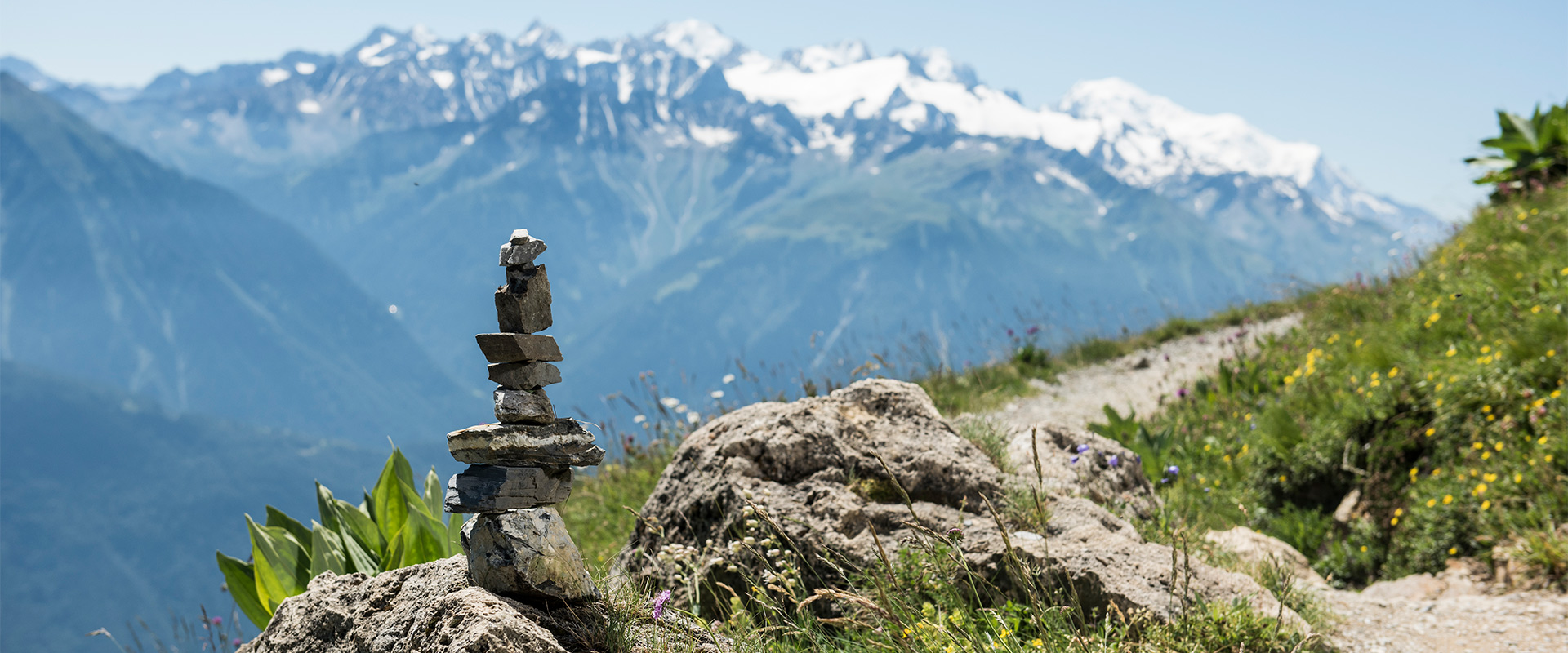
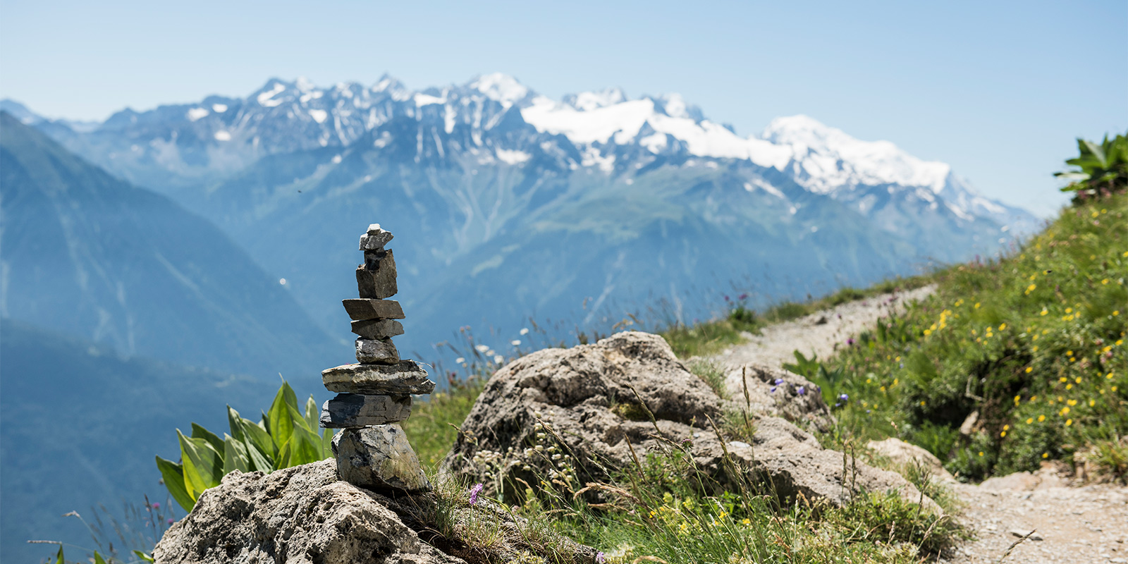
The trail will pass through a succession of alpine ecosystems. From the highest point of the circuit, the Fenestral pass, the view is spectacular and will be worth all the climbing. Furthermore, you’ll also have views of the lakes of Fully and the Mont-Blanc massif in the background as you hike.

Elmar profile picture
Editor

Elmar Teegelbeckers

Passionate hiker Elmar spends months of his time on the trail. He’s usually on the lookout for hidden gems in one of his favourite countries such as Slovenia, Switzerland and Japan. He founded hiking-trails.com in need for a community and detailed information about the trails. Before this, he worked for the Alpine asscociation in the Netherlands[ (NKBV) but lost his heart to the trails.

Not long ago, Elmar published the book (in Dutch) Hiking Trails – best long-distance trails in Europe. With this book, website and socials, he hopes to inspire and shape an inclusive community for hikers all over world. No matter your speed, experience or level, you can get out there to enjoy the trails and connect with the heartwarming hiking community. Life is so much better outside and he hopes to inspire hikers to take their first, or next, step on the trail.

You can reach Elmar at info@hiking-trails.com.

View profile

The Trail

The trailhead for the hike is from the Erié car park, which is located at about 1882 meters above sea level. Already, the starting point has an impressive view of the Rhone Valley and the surrounding mountains. The trail quickly leaves a larch forest and enters the alpine landscape. However, it is also possible to start from the top of the Jorasse chairlift.

From here, the trail runs along the impressive rock faces of the Grand Chavalard (2901 m). This section has spectacular views of the Rhône Valley below and the surrounding peaks, including the Grand Combin and Mont Blanc. The path can be impressive as it crosses very steep slopes, but it is still wide and passable.

Soon, you’ll come to the Col de la Blè pass, which is part of the climb to the highest point of the hike. You’ll continue to ascend, enjoying increasingly impressive views. Each time you look up, you’ll think it can’t get better, but it does!

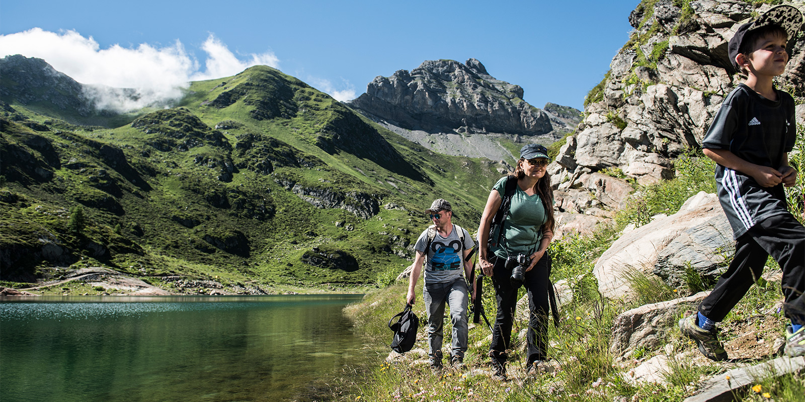
The path then descends to the Sorniot hut, located at 2064 meters above sea level. This stage has views of the Lower Lake of Fully, which is part of a historic hydroelectric system. The Sorniot hut is also a welcome refreshment point. Make sure you’re drinking enough water and eating as you go.

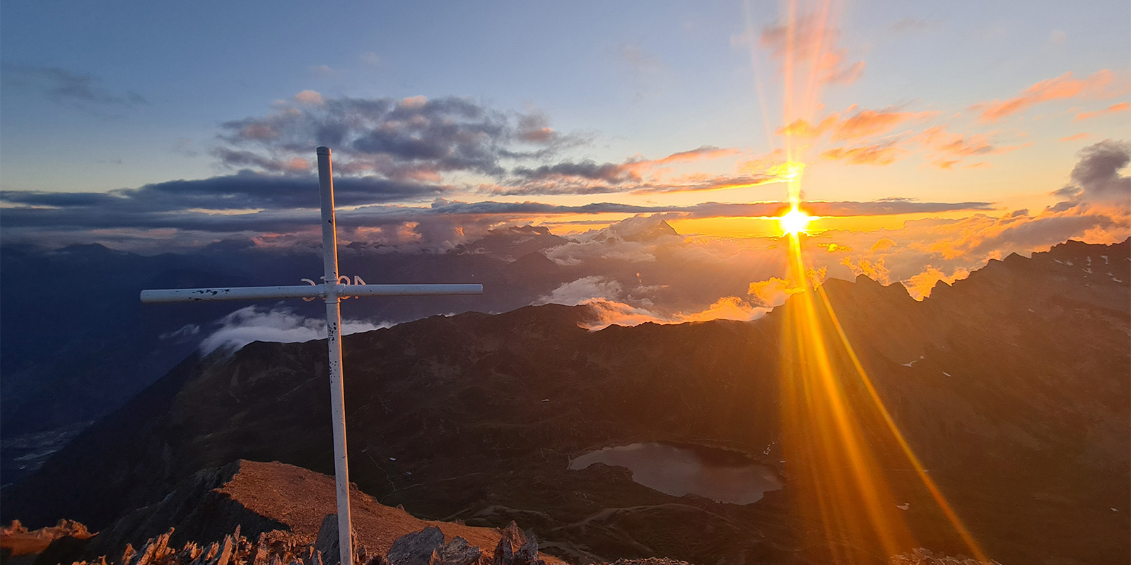
Once you leave the hut, you’ll hike to the Col de Fenestral, which is the highest point of the hike at 2453 meters. Here, you’ll have a spectacular view of the lakes of Fully and the Mont-Blanc massif. The Fenestral hut, located just after the pass, is managed and guarded from mid-June to mid-October, so it can be another point for rest and refuelling.

From the Col de Fenestral (2453 m), you will follow the path down and continue on this scenic trail until you reach L’Erie. At this point, the path branches off to the north. By taking this direction, you will reach the Erie car park. This final part of the loop will allow you to appreciate the many landscapes of the Valais Alps while slowly descending back to the starting point.

Accommodations

If you wish, you can hike the Tour du Grand-Chavalard in several stages. From the Cabane du Fenestral to the Cabane de Sorniot or the Gîte de Lui d’Août, you will be able to take advantage of these places to rest while enjoying a breathtaking view of the Valais Alps. These establishments offer either a year-round or seasonal security system to guarantee a warm welcome to visitors.

It is important to consult the websites to make a reservation in advance and to secure a place, as they tend to fill up quickly. But even if you don’t secure an overnight reservation, you can still stop in for a moment during your day hike.

Best time of the year

The best time to hike the Tour du Grand-Chavalard is from July to October, depending on the snow cover. As winter conditions are complicated, it is best to consider doing this hike during the high season to also take advantage of the good conditions for discovering the landscapes.

If you are choosing to hike in the shoulder seasons, near the beginning/end of the high season, try giving one of the huts a call before you start. They’ll be able to give you an accurate idea of the trail conditions and whether you need to bring micro-spikes.

Safety & Gear

This hike requires subsistence and equipment. You should think about the possibility of cold, the wind, and also the sudden storms in the region when you’re planning your itinerary. It is essential to correctly assess your abilities and physical condition before heading out.

You can find a full packing list here, and you may also enjoy training a bit for the trail. This will make it more enjoyable when you’re actually on the path. You can train by going for daily walks/hikes, carrying a weighted, full backpack, and practicing your balance and endurance.

Difficulty

The Tour du Grand-Chavalard is a moderately difficult trail. The different slopes that you will have to cross can be very steep. And while in some places the path is wide, it still requires special caution for people suffering from vertigo or those accompanied by children.

Good to know

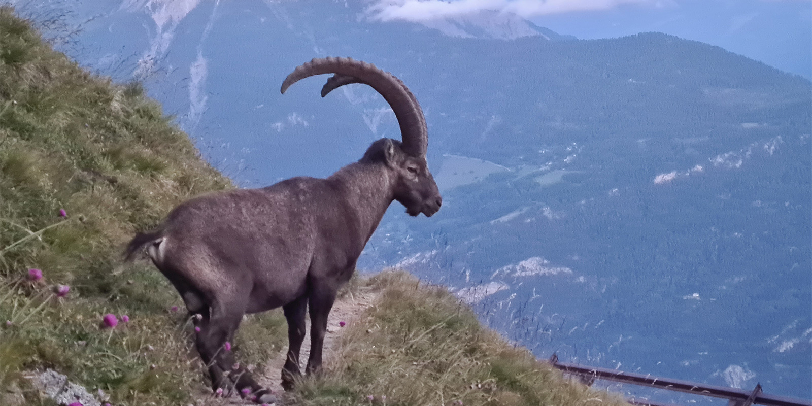
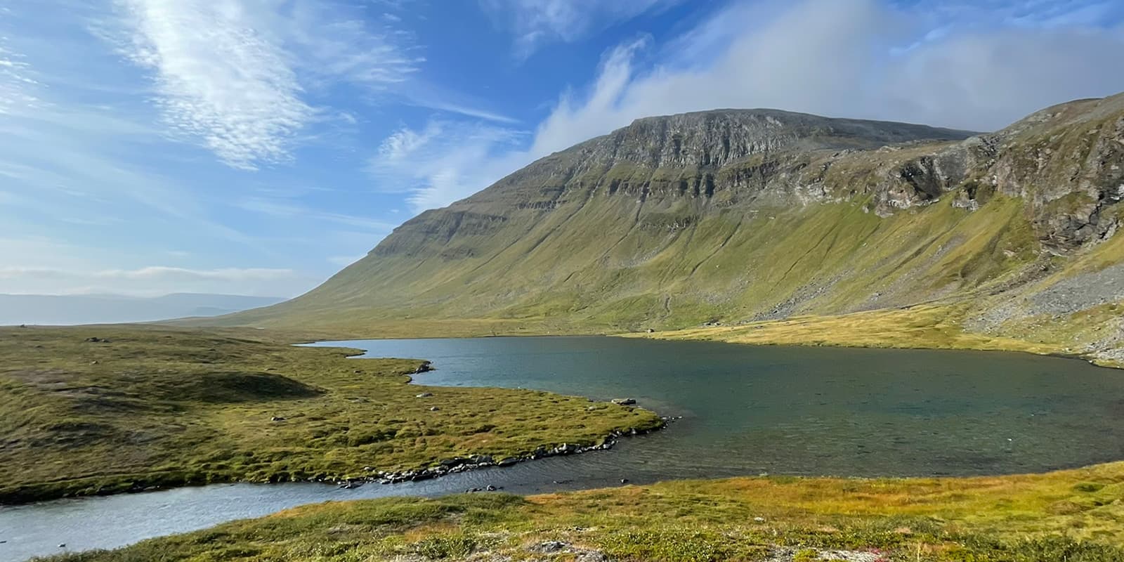
During the walk, you’ll have some of the best views of the Valais Alps from the Sorniot Hut. There will also be the opportunity to observe the delicate ecosystems around the Upper and Lower lakes of Fully. Finally, when you arrive at the Col de La Blè, you’ll see one of the most magnificent views, making the whole trek worth it. You may also be lucky enough to see some marmots!

The area where Saillon marble was extracted is also visible during the walk. It is an opportunity to see the prestigious material, which adorns famous buildings such as the Opéra Garnier in Paris, the British Museum in London or the Federal Palace in Bern, in its raw state.

When you pass by the Jorasse resort, there is the possibility of reaching the village of Ovronnaz, where you can enjoy some thermal baths.

route
Circuit
highest point
2.453m (8.047 ft)

Want to submit a trail or make this page more complete?

Join the community!

Login or create a FREE account 😊

With an account you can:

Download GPX files

Pin trails to your wishlist

Mark trails as hiked by you

Rate hiking trails

Comment on trails, blogs and gear reviews

Happy trails!
Login

Don't have an account yet? Register here