About the Tour des Dents-du-midi

Alps
country
Switzerland
length
43 km(27 mi)
Type of trail
Hut to hut, Long-distance
difficulty

Difficulty is highly personal. Be aware of the weather conditions as bad weather turns easier trails in difficult trails especially in the mountains.

Moderate
accommodation

Lodging means a mix of hotels, hostels or AirBnB’s.

Mountain huts
Elevation gain
6000 m(19685 ft)
terrain
Mountains
remoteness
Most of the time
Show more

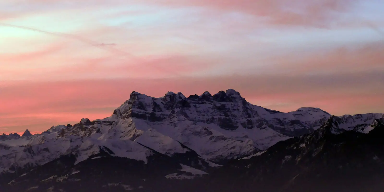
The Tour des Dents du Midi is an iconic longer-distance route for submerging yourself in the spectacular landscapes of the Valais Alps. This legendary trek, inaugurated in 1972, winds around the majestic Dents du Midi massif over 42.5 kilometers.

The route passes through peaks, alpine lakes, glaciers, waterfalls, high passes, and deep forests. The exceptional flora you’ll see along the way only adds to the richness of the experience.

Elmar profile picture
Editor

Elmar Teegelbeckers

Passionate hiker Elmar spends months of his time on the trail. He’s usually on the lookout for hidden gems in one of his favourite countries such as Slovenia, Switzerland and Japan. He founded hiking-trails.com in need for a community and detailed information about the trails. Before this, he worked for the Alpine asscociation in the Netherlands[ (NKBV) but lost his heart to the trails.

Not long ago, Elmar published the book (in Dutch) Hiking Trails – best long-distance trails in Europe. With this book, website and socials, he hopes to inspire and shape an inclusive community for hikers all over world. No matter your speed, experience or level, you can get out there to enjoy the trails and connect with the heartwarming hiking community. Life is so much better outside and he hopes to inspire hikers to take their first, or next, step on the trail.

You can reach Elmar at info@hiking-trails.com.

View profile

The Trail

There are multiple route options for the Tour des Dents-du-Midi, and this is one of them. They’ll vary based on their starting points.
You’ll start at the Anteme hut and hike toward the Signal de Soi. The regular path will take you on a beautiful crossing under the rocks, with torrents from the Soi glacier. This route is dominated by the north face of the Dents-du-Midi and the Chalin glacier and crosses the Chalin cirque to the Majedo clearing. You will be led down through a wooded valley to the Valère and Valerette mountain pastures, to reach the Chindonne mountain pasture.

From Chindonne, you’ll then cross the undergrowth to the Chalet in Bagnes. You will have to cross the forest of Cleusey, cross the Mauvoisin torrent, and reach the Fahy mountain pasture to see the waterfalls. The path then crosses the Mauvoisin several times, where it passes through the forests of Seintanère and Orgières to arrive in Mex. A diversion is possible to Vérossaz, and an alternative route exists in the event of flooding of the Mauvoisin.

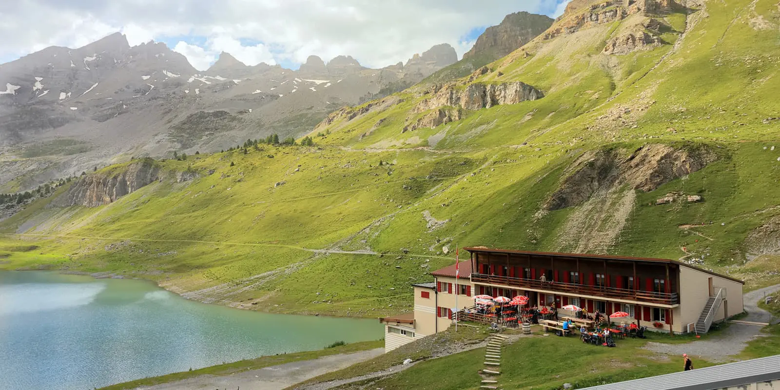
Then, you will depart from Mex by a forest road. From here, you will undertake a crossing of the Saint-Barthélemy torrent on a footbridge. To reach the Col du Jorat, you will have to go through a steep, winding path. It’s worth it though, because from here, it’s possible to access and enjoy a panoramic view of the Salanfe plateau, its lake and its dam, framed by the Dents-du-Midi, the Luisin, and the Sallière Tower. Then comes the descent to the Salanfe inn, which is easy.

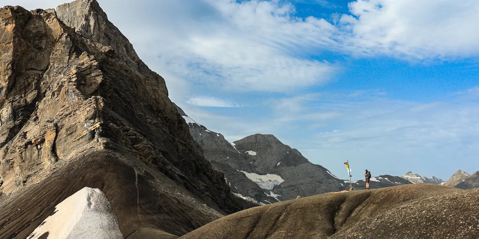
From the Auberge de Salanfe, you will have to walk along the lake along the alpine pasture road. After the water arrives, you will follow the track towards Lanvouisset. Here, the trail climbs up to a cliff equipped with a handrail. Then, a lunar landscape leads to the Col de Susanfe, between the Haute Cime and the Tour Sallière. Next, you’ll have to descend to the Susanfe hut. In case of heavy snow, you are advised to take the “Chemin d’hiver.”

From the Susanfe hut, the path will wander through the Susanfe valley, dominated by Mont Ruan and the Sallière Tower. After you pass the Giétroz reservoir, the Pas d’Encel will be a steep passage equipped with handrails. Afterwards, a descent to the Bonavau refuge can be done if you choose to sleep there, with options to reach Champéry via the Gran Paradiso or the Roc Coupé.

Finally, from the Bonavau refuge, you can backtrack about 400 meters to take the tour’s trail thanks to a footbridge thrown over the impetuous torrent of the Saufla. The path climbs steadily past the Rossétan mountain pasture and the Métecoui chalet.

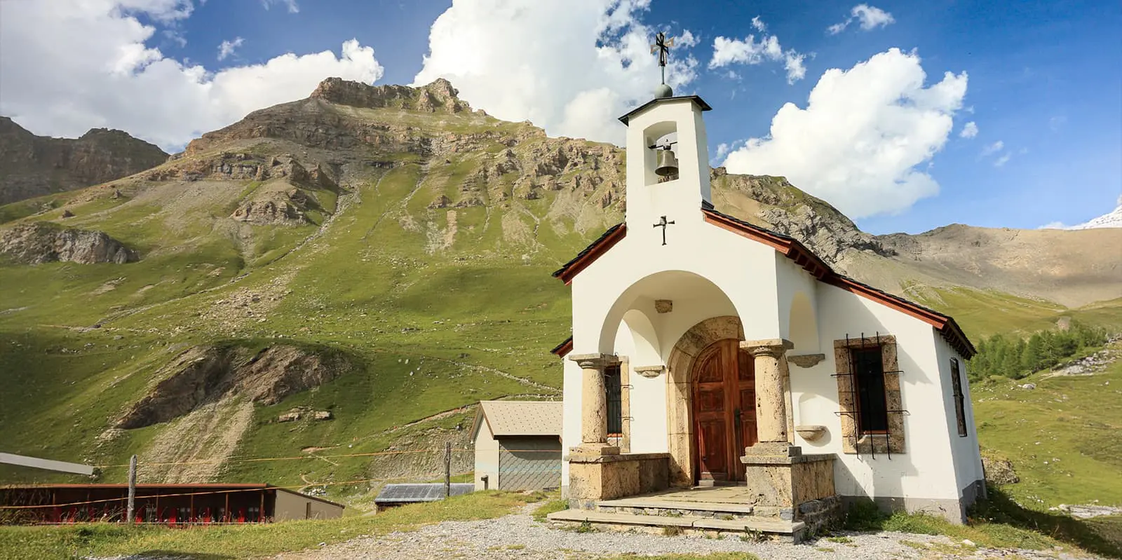
There, an exceptional view of the valley and the beautiful region of Planachaux, Les Crosets, and the Portes du Soleil awaits. You’ll need to push a bit more to reach the two small lakes of Anthème, which are the real jewels of softness and calm in the greenery of a plateau limited by the Sélaire ridge and the Dent de la Chaux. Below there, you’ll find the Antèmoz hut, where the trek ends.

Stages

These are the section stages of the hike, but do not dictate where you will sleep at night. You can break these up as you see fit using the recommendations in the Accommodations section below.

Tour des Dents-du Midi 6-stage itinerary

Stage 1:

Anthème – Chindonne/Les jeurs, 11.3 km | 7 mi

Stage 2:

Chindonne/Les jeurs – Mex, 11.6 km | 7.2 mi

Stage 3:

Mex – Salanfe, 8.8 km | 5.5 mi

Stage 4:

Salanfe – Susanfe, 7.2 km | 4.5 mi

Stage 5:

Susanfe – Bonavau, 3.8 km | 2.4 mi

Stage 6:

Bonavau – Anthème, 4.6 km | 2.7 mi

Accommodations

The Tour des Dents-du-Midi can be broken up between two and four days. Because of this, there are mountain huts along the track and many options for where to sleep. Below are a few of the huts:

  1. Refuge de Susanfe
  2. Refuge des Dents du Midi
  3. Auberge de Salanfe
  4. Cabane d’Antème

Best time of the year

The Tour des Dents-du-Midi is accessible from June to October, depending on the snow conditions. The trail has appreciable flexibility thanks to the many refuges along the route, which means you can adapt your stages according to preferences.

If you’re unsure about lingering snow, try contacting the mountain huts before you head to Valais. They’ll be able to give you an accurate idea of the trail accessibility at the time of your hike.

Safety & Gear

It is strongly advised to check the weather and the condition of the paths before departure. Conditions can be risky at certain times of the year. It is therefore advisable to inquire at a guide office or resort in Les Marécottes in winter. For a 2 to 4-day hike, it is crucial to prepare your equipment well. You should take sturdy hiking boots that have already been worn to avoid blisters, but also remember to take the right equipment with you for a stay in the high mountains.

The right equipment means layers, gear for the mountain huts, a backpack that fits, and a first aid kit at a minimum. Be sure to also download the GPX file to your device! You can find a full gear list for hut-to-hut tours here.

Difficulty

This hike requires a good physical condition and experience with mountain trails. However, it can also be done with the family if they’re up for the challenge. Some passages can be dizzying or exposed, so it is important to be vigilant and not overestimate your abilities. This is not a hike for people with vertigo.

To train for the Tour des Dents-du-Midi, you should try to take daily hikes or hop on the stairmaster at the gym as often as possible. Working on your cardiovascular health, along with your strength, will make it a more enjoyable experience. Additionally, adding balance and endurance exercises can be quite helpful.

Good to know

It is important to note that bivouacking is strictly forbidden near certain refuges, such as the Refuge des Dents du Midi. You should therefore check this information for each stage before settling in for the night. Additionally, if you want to extend your hike, you can also climb the Haute Cime (3257 m).

route
circuit
highest point
2.504m (8.215 ft)

Want to submit a trail or make this page more complete?

Always read the disclaimer

Terms of Use: important to all visitors on this website. We strive to publish high quality content and information on this website. However it’s always possible that we’re missing out on some crucial information. In spite of the fact that this route, associated GPS track (GPX and maps) were prepared under diligent research by the specified contributor and/or contributors, the accuracy of such and judgement of the author is not guaranteed. Therefore, hiking-trails.com and contributors are in no way liable for personal injury, damage to personal property, or any other such situation that might happen to individuals hiking or following this route. Should you choose to hike this trail, this is always at your own risk. Check out our guidelines for safety hiking and Leave No Trace principles at the hiking 101 page.

Download GPX

Join the community!

Login or create a FREE account 😊

With an account you can:

Download GPX files

Pin trails to your wishlist

Mark trails as hiked by you

Rate hiking trails

Comment on trails, blogs and gear reviews

Happy trails!
Login

Don't have an account yet? Register here