About the Tour des Combins

Alps
country
Italy, Switzerland
length
97 km(60 mi)
Type of trail
Hut to hut, Long-distance
difficulty

Difficulty is highly personal. Be aware of the weather conditions as bad weather turns easier trails in difficult trails especially in the mountains.

Difficult
accommodation

Lodging means a mix of hotels, hostels or AirBnB’s.

Mountain huts, Camping, Lodging, Wild camping
Elevation gain
6000 m(19685 ft)
terrain
Mountains
remoteness
Some of the time
Show more

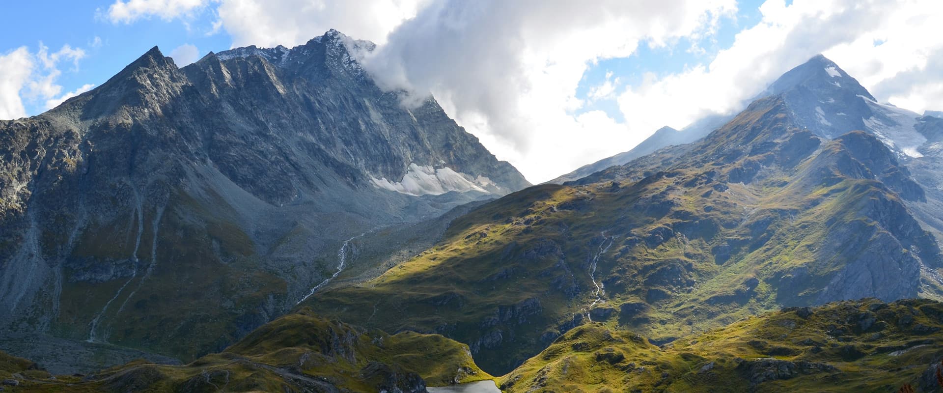
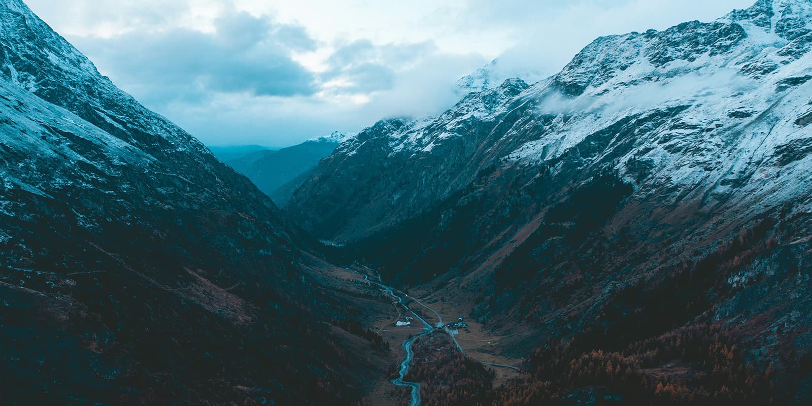
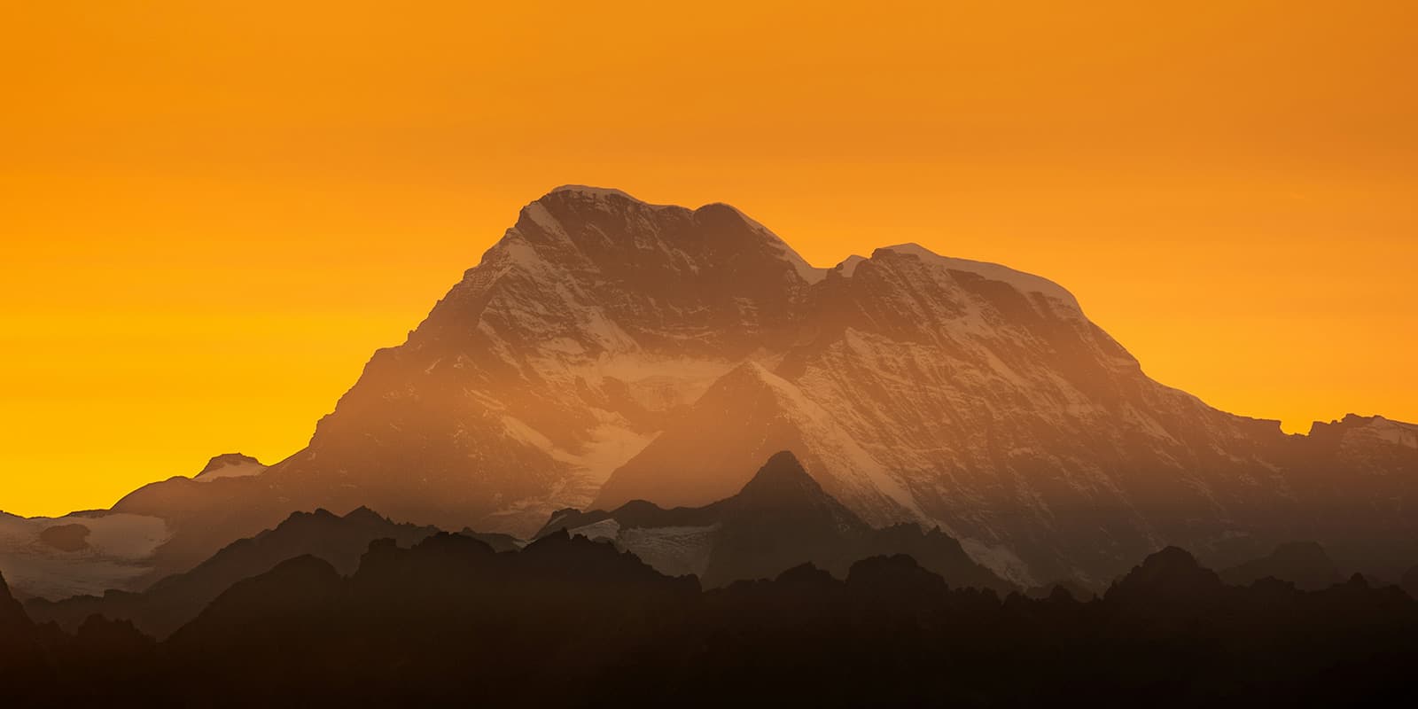
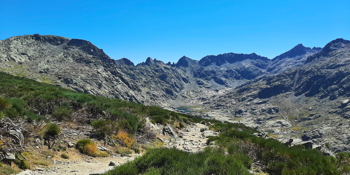
The Tour des Combins leads around the Combins Massif in the Pennine Alps. It is a 97-kilometer (60 mi.) alpine trek that takes you over 6 mountain passes. The trail is the perfect chance to experience the Swiss and Italian alpine culture from remote trails past historical sites, glaciers, as well as the famous Mont Blanc massif.

In contrast to the Tour du Mont Blanc, the Tour des Combins is less known and crowded, which makes it perfect for those who want to discover this region off the beaten track! The Tour des Combins is a great way to get all of the beauty and almost none of the crowds of one of the most famous treks in the world.

Merle profile picture

Merle Wünderling

Merle is an outdoor enthusiast who’s passionate about hiking, rock climbing, mental health, and sustainability. Born in Germany but at home in the world, she’s hiked trails in New Zealand (Abel Tasman Coast Track, Kepler Track), Europe (Rota Vicentina/ Fishermen’s Trail, Tour du Mont Blanc, GR20 Corse, Kungsleden… ), and the Balkans (Peaks of the Balkans). Over the years she became a bit of a nerd, constantly improving her gear for upcoming hikes, such as GR11 Spain, Tour des Ecrins, Te Araroa, and the Transcaucasian Trail.

You can follow Merle on Instagram @merlewunderkind.

View profile

The Trail

The first stage leads from Bourg Saint Pierre directly into the mountains. Up to the first accommodation, the Cabane du Col de Mille, there are around 1,000 meters of altitude (3280 ft) to overcome.

The next day, you will pass the Cabane Brunet on your way to the Cabane Panossière. But before this, there is the possibility to make a detour over the Col des Avouillons. If you have the energy and time, this is highly recommended! The Col des Avouillons is a great way to see more of the region.

The third day has a shorter stage in-store to recover from the first two. It leads over the Col des Otanes, the highest point of the entire hike (shorter doesn’t mean easier!). A long descent then leads to the village of Mauvoisin on the lake of the same name.

Along the shores of Lac de Mauvoisin, past the highest arch dam in Europe, you will reach the last Swiss mountain hut on the tour.

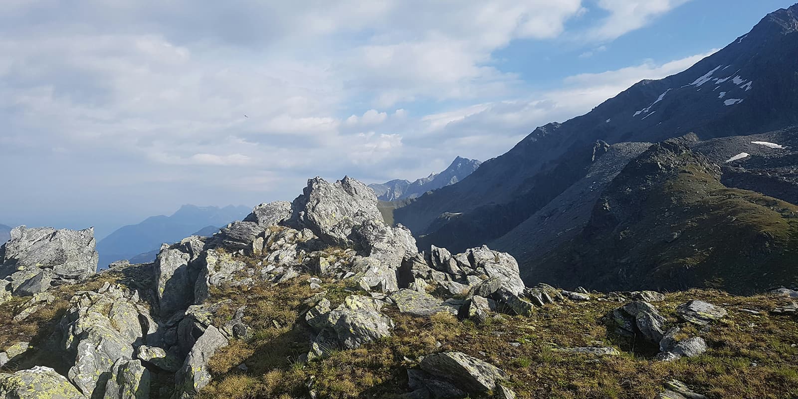
The following stage is the longest and most challenging of the Tour des Combins, so an early start is recommended! The Fenêtre de Durand Pass will lead you from Switzerland to Italy, where the Aosta Valley awaits. The effort of the ascent is rewarded with breathtaking views.

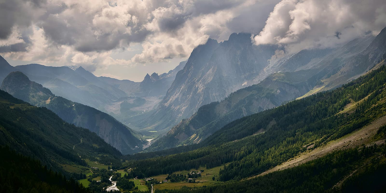
Also, the following day has spectacular views of the famous Mont Blanc! From the remote mountains, the route slowly heads back towards civilization. This stage ends in the village of Saint-Rhémy.

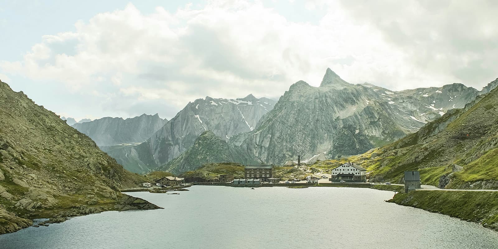
The last stage takes you back to Switzerland. But before that, there are still a few final meters of altitude to overcome, both uphill and downhill. In between, the lakes Lac du Grand Saint Bernard and Lac des Toules invite you to pause and reflect on your almost completed hike.

Stages

The classic route of the Tour des Combins leads around the Combins Massif and takes between 7 and 9 days, depending on the itinerary. It starts and ends typically in Bourg-Saint-Pierre (Switzerland). Due to being a circuit trail, you can choose between different start/end locations in Switzerland (Bourg-Saint-Pierre, Le Chable, Mauvoisin) and Italy (Saint-Oyen).

While most people go typically clockwise, the trail can be completed in either direction (clockwise or counterclockwise). There are variations in the distance and elevation, which allow you to take a more direct route (such as the Mont Rogneux trail), or to reach a specific highlight (such as Champex Lac or Lac de Louvie trail). That gives you the possibility to adapt the trail to your personal itinerary.

7-stage itinerary (clockwise)

Stage 1:

Bourg-Saint-Pierre – Cabane du Col de Mille, 11.9 km | 7.4 mi

Stage 2:

Cabane du Col de Mille – Cabane FXB à Panossière, 14.6 km | 9.1 mi

Stage 3:

Cabane FXB à Panossière – Mauvoisin, 6.8 km | 4.2 mi

Stage 4:

Mauvoisin – Cabane de Chanrion, 10.3 km | 6.4 mi

Stage 5:

Cabane de Chanrion – Rifugio Letey-Champillon, 22.4 km | 13.9 mi

Stage 6:

Rifugio Letey-Champillon – Saint-Rhémy, 15 km | 9.3 mi

Stage 7:

Saint-Rhémy – Bourg Saint Pierre, 18.2 km | 11.3 mi

Accommodations

During Tour des Combins you stay in remote mountain huts, which are called Rifugios in Italy and Cabanes in Switzerland. They offer half board (breakfast & dinner), which means you save weight on bringing food and they allow you to experience the culinary delights of two countries in one hike.

In the alpine villages along the trail, you can stay in guest houses, hotels, or B&Bs.

It is also possible to stay at campsites in the villages and valleys along the trail. Please keep in mind that wild camping/ bivouac is restricted in national parks, nature reserves, or near villages and towns! In more remote areas it is okay above the tree line, from sunset to sunrise. You may also ask to have dinner at and stay at the nearby mountain huts.

During peak hiking season (July and August) you will need to book your accommodations far in advance.

Mountain huts per stage

Stage 3:

Mauvoisin (campsite, guesthouses, hotels)

Stage 6:

Saint-Rhémy (campsite, guesthouses, hotels)

Stage 7:

Bourg Saint Pierre (campsite, guesthouses, hotels)

Best time of the year

The best time to hike the Tour des Combins is in summer, from July until October. This is when the mountain passes are clear of snow and the mountain huts and refuges are open. You’ll find that you’ll still see more people on the trail in the high season, July and August, but if you go later, like in September, you’ll likely have more solitude.

Safety & Gear

Before the hike, gather information about the route (length, altitude, difficulty, current conditions) and assess your skills realistically. Tour des Combins is a challenging hike that requires experience in alpine terrain, surefootedness, and proper equipment.

Invest in the right hiking gear, including comfortable, supportive footwear with a good grip, proper hiking clothing, such as warm base layers and a hardshell rain jacket, hiking poles, a well-fitted backpack, and essential equipment like maps, GPS devices (or the GPX on your mobile), and a first-aid kit. Check out our comprehensive gear list for long-distance trails.

If you walk by yourself, share your plans with somebody else for your own safety. If your plans change while you hike, be sure to let them know this as well!

For staying overnight in the refuges, bring a light sleeping bag, in addition to the provided blankets, and earplugs for a restful night.

The weather in the high mountains can change rapidly. Always check the trail conditions and local weather forecasts, be prepared for all conditions, including rain, sun, or snow and alter your itinerary if needed.

Stay properly hydrated and nourished. Ensure you have enough water and snacks to maintain energy levels and prevent dehydration and exhaustion. Bring at least two liters of water with you. Especially in remote sections or near livestock grazing areas, it is recommended to use a water filter or purification tablets.

Respect the principles of Leave No Trace by minimizing your impact on the environment. Stick to designated trails, take all your trash with you, and show respect for wildlife and natural habitats (keep your distance and don’t feed them).

Difficulty

Tour des Combins is a medium-to-difficult hiking trail with high-altitude passes and rugged mountain terrain. The path is generally easy to walk and not too technical. Nevertheless, previous alpine experience is an advantage. The ascents and descents of the stages amount to around 1000 meters in altitude every day and require a good level of fitness.

Good to know

Consider becoming a member of the Swiss Alpine Club (SAC) to help maintain the huts and trails and benefit from discounts on overnight stays in Swiss Alpine Club (SAC) mountain huts. Likewise, the Club Alpino Italiano (CAI) is responsible for the maintenance and marking of the trails and the operation of the mountain huts in Italy.

You can fill up your water at the mountain huts and guesthouses between the stages. Make sure to take enough drinking water for the day and top up your water supply whenever possible. Especially in remote sections or near livestock grazing areas, it is recommended to use a water filter or purification tablets.

route
circuit
highest point
2,870m (9416 ft)

Guidebooks

guidebook tour des combins

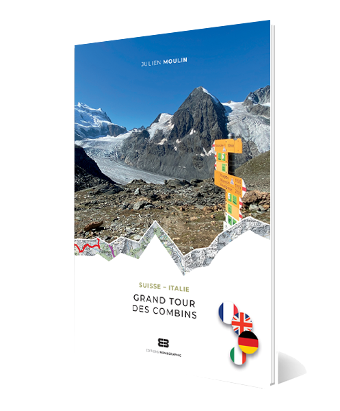
Grand Tour des Combins

View guidebook

Want to submit a trail or make this page more complete?

Always read the disclaimer

Terms of Use: important to all visitors on this website. We strive to publish high quality content and information on this website. However it’s always possible that we’re missing out on some crucial information. In spite of the fact that this route, associated GPS track (GPX and maps) were prepared under diligent research by the specified contributor and/or contributors, the accuracy of such and judgement of the author is not guaranteed. Therefore, hiking-trails.com and contributors are in no way liable for personal injury, damage to personal property, or any other such situation that might happen to individuals hiking or following this route. Should you choose to hike this trail, this is always at your own risk. Check out our guidelines for safety hiking and Leave No Trace principles at the hiking 101 page.

Download GPX

Join the community!

Login or create a FREE account 😊

With an account you can:

Download GPX files

Pin trails to your wishlist

Mark trails as hiked by you

Rate hiking trails

Comment on trails, blogs and gear reviews

Happy trails!
Login

Don't have an account yet? Register here