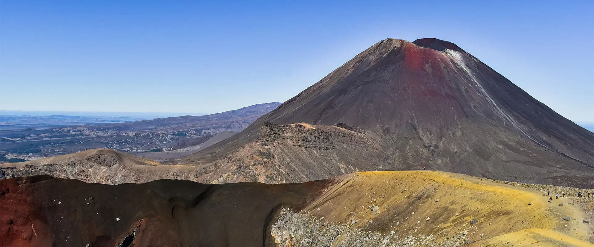
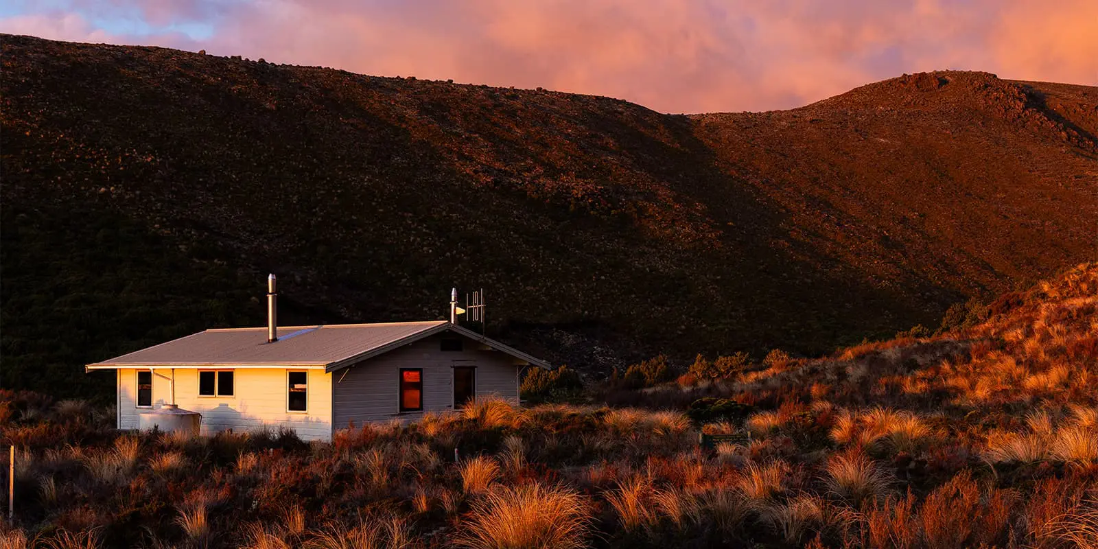
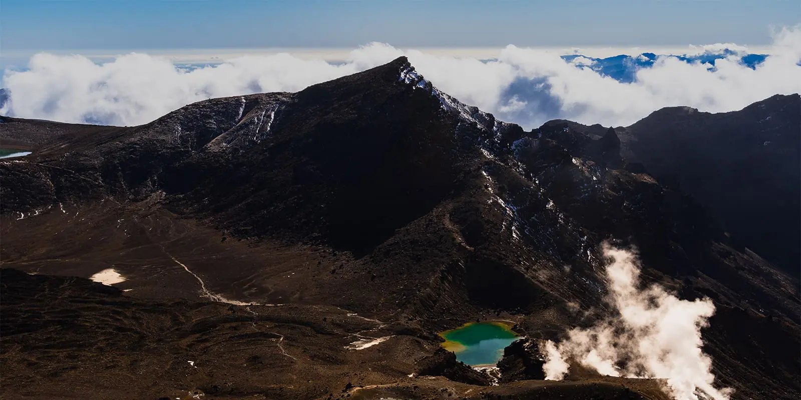
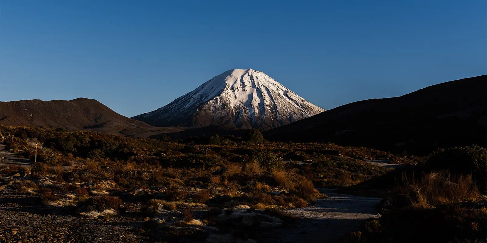
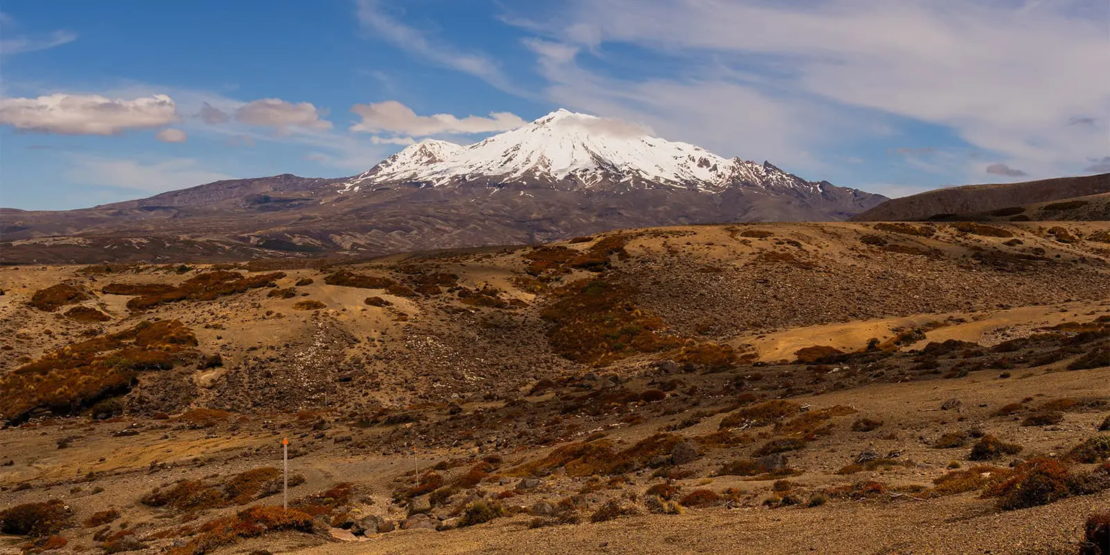
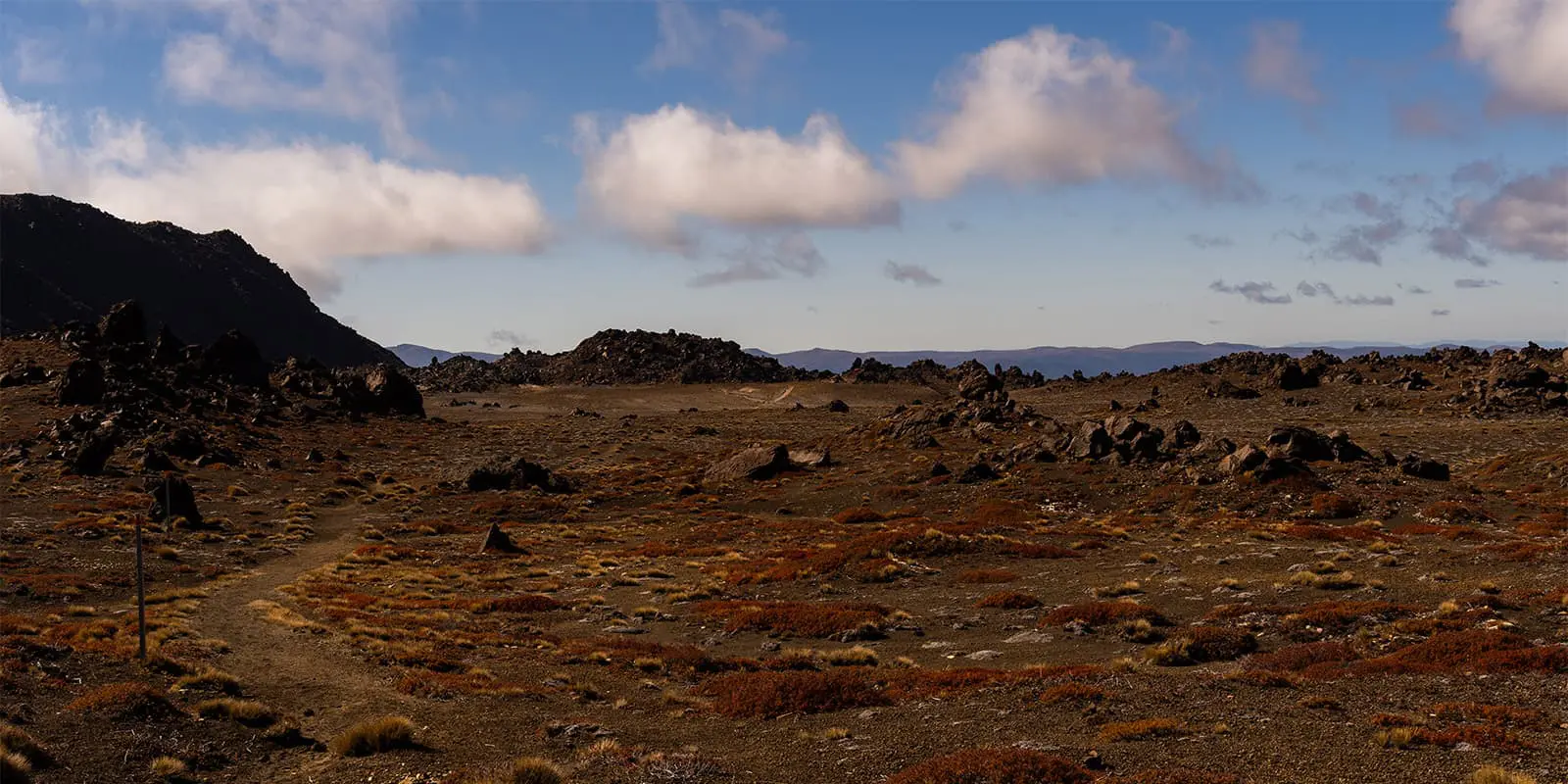
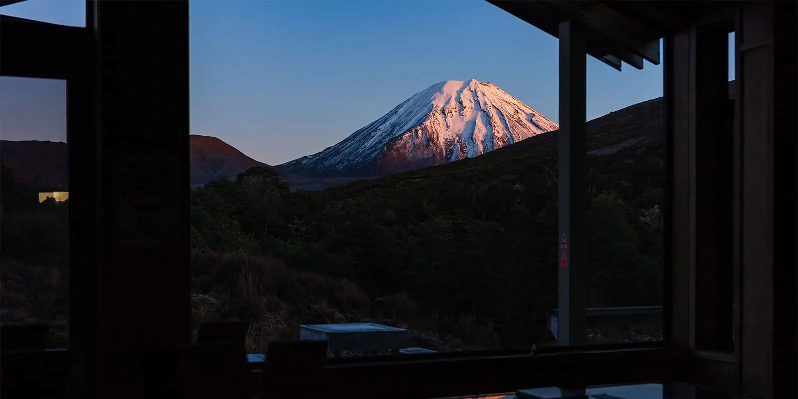
The third stage starts with an undulating path through the valley. Unlike the previous day, the trail is now more gentle, transitioning into a more rolling terrain. At first, the landscape is quite gravel-packed with very low vegetation around but, as you slightly ascend, you will be treated to sweeping views of both Mount Ngauruhoe and Mount Ruapehu. After leaving the Oturere Valley, the trail enters a more vegetated area. This is a refreshing and very welcomed change of scenery. Continuing onwards, the trail goes through the Waihohonu Valley, which is very different from the volcanic areas and is filled with a shaded native beech forest. The day finishes at Waihohonu Hut, the biggest and most modern hut of the loop. If you have time, from here there are two interesting side trips that you can take. The first one is to Ohinepango Springs, whose waters are crystal clear and remain pure due to its filtration through layers of volcanic rock. The second side trip is to the Waihohonu Historic Hut, built in 1904, which showcases some interesting details of its use by early hikers and tourists.
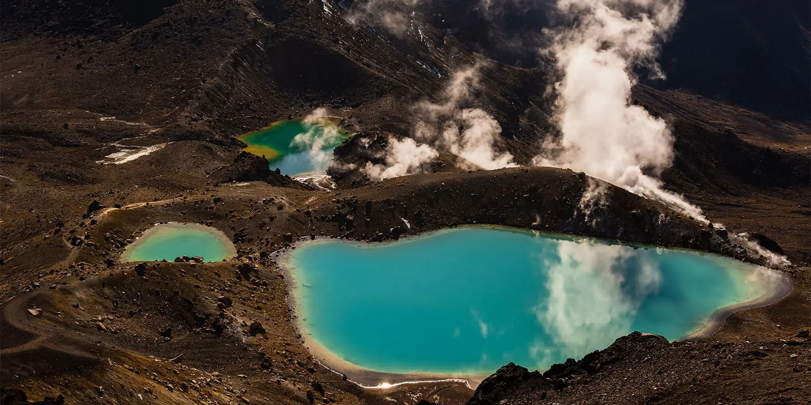
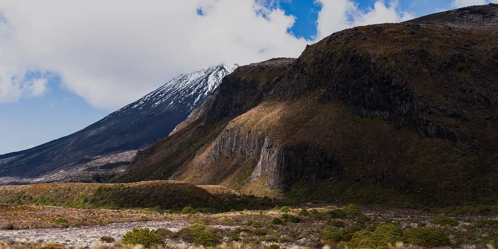
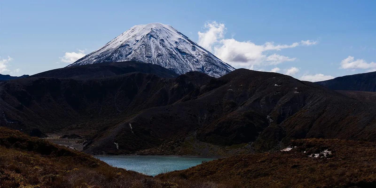
The final stage loops back to Whakapapa Village. The trail mainly goes through tussock and low vegetation terrain. One of the highlights of this part of the trail is the views you get of Mount Ngauruhoe on one side and Mount Ruapehu on the other side, a dramatic backdrop throughout the first part of the day. Continuing forward, you will gently ascend the saddle between the main two mountains. From here, you can see Lower Tama Lake. It is highly recommended to take the time for a side trip to both Lower and Upper Tama Lake, two empty craters now filled with intense blue water. The final stretch descends going through some scrubland. You will pass the roaring Taranaki Falls before returning to the village where you first started.
Trail difficulty
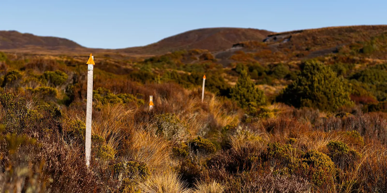
The Tongariro Northern Circuit is rated as an intermediate difficulty. This is due to its steep ascents, quickly changing weather, and the volcanic terrain. You should be prepared for sections of loose scree, exposed ridgelines, and strong winds. However, the trail is well-marked and maintained.


