Man hiking the Haute Route Pyrenees, looking out over the mountains

Pyrenees High Route

Haute Randonnée Pyrénéenne (HRP)

About the Pyrenees High Route

Pyrenees
country
Spain, Andorra, France
length
750 km(466 mi)
Type of trail
Thru-hike, Long-distance
difficulty

Difficulty is highly personal. Be aware of the weather conditions as bad weather turns easier trails in difficult trails especially in the mountains.

Difficult
accommodation

Lodging means a mix of hotels, hostels or AirBnB’s.

Mountain huts, Wild camping
Elevation gain
52000 m(170604 ft)
terrain
Mountains
remoteness
Most of the time
Show more

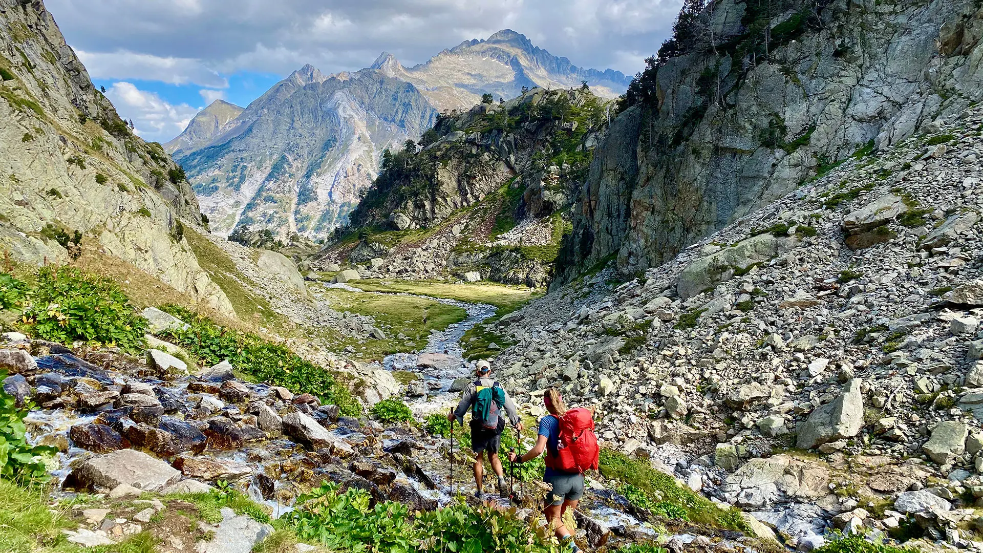
The Pyrenees High Route, or Haute Randonnée Pyrénéenne (HRP), is a high-level long-distance trail in the Pyrenees that connects the Atlantic and Mediterranean. It approximately follows the French and Spanish border and passes through Andorra. The HRP was devised by Georges Véron in 1968.

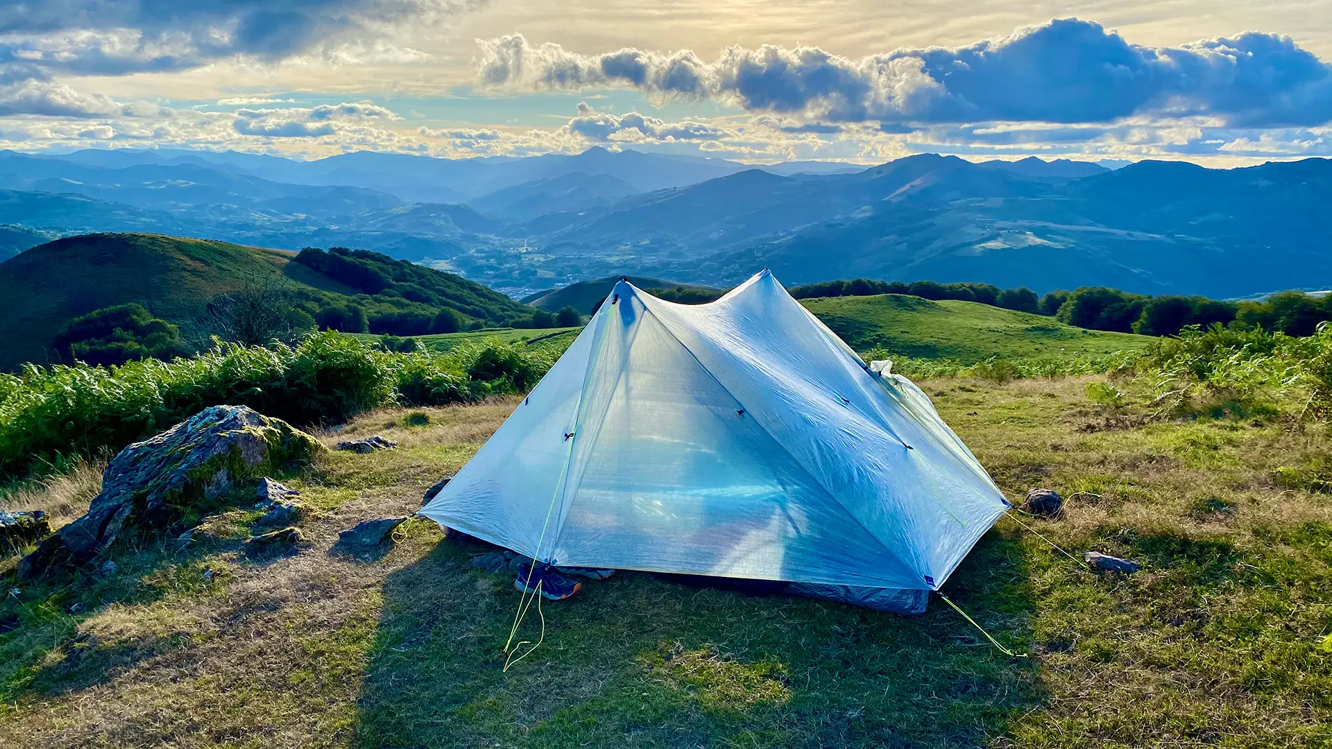
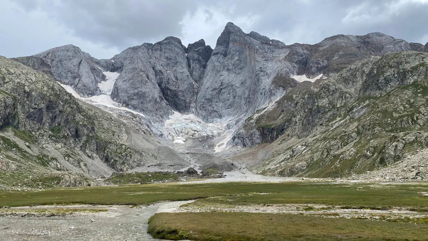
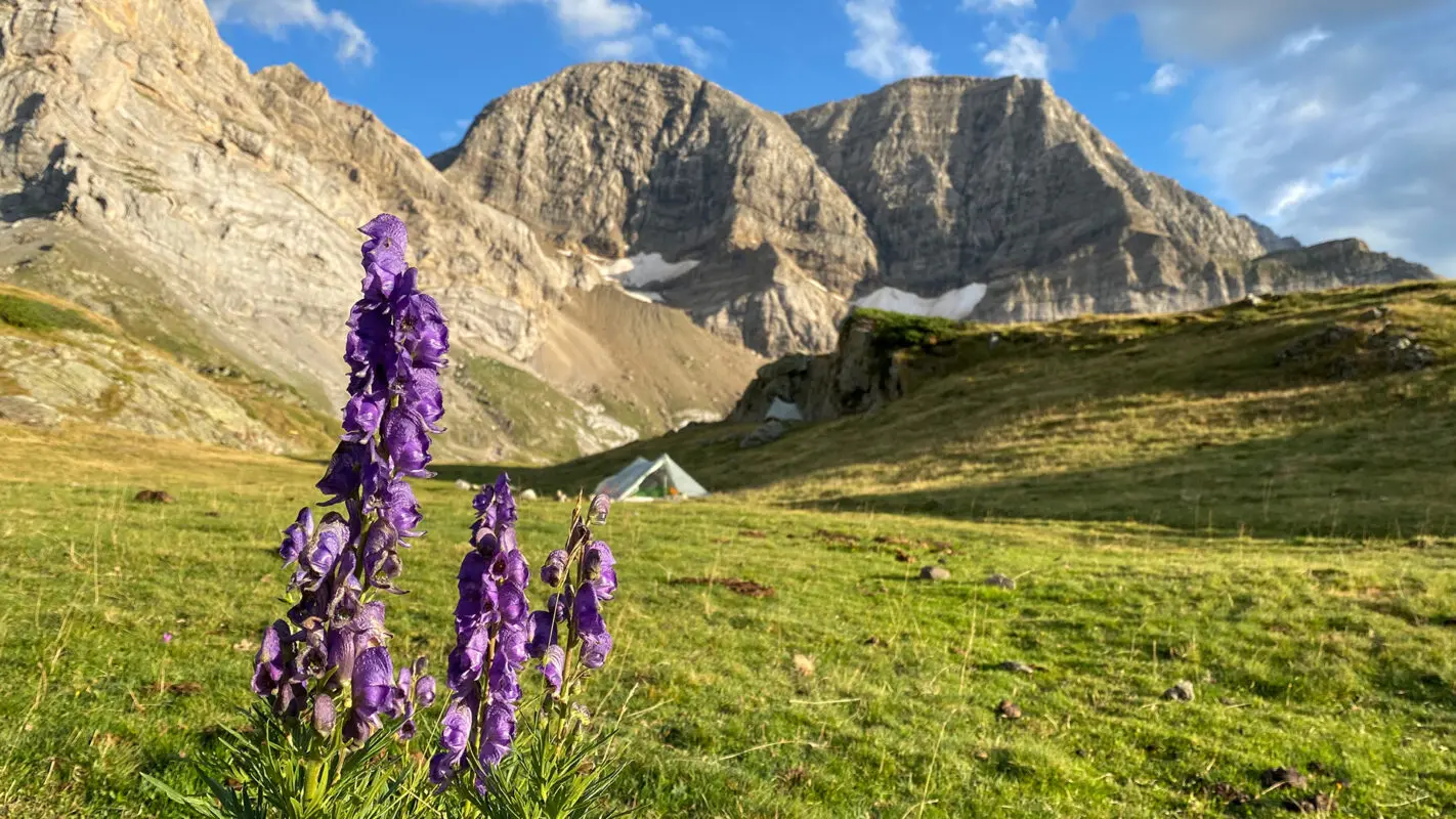
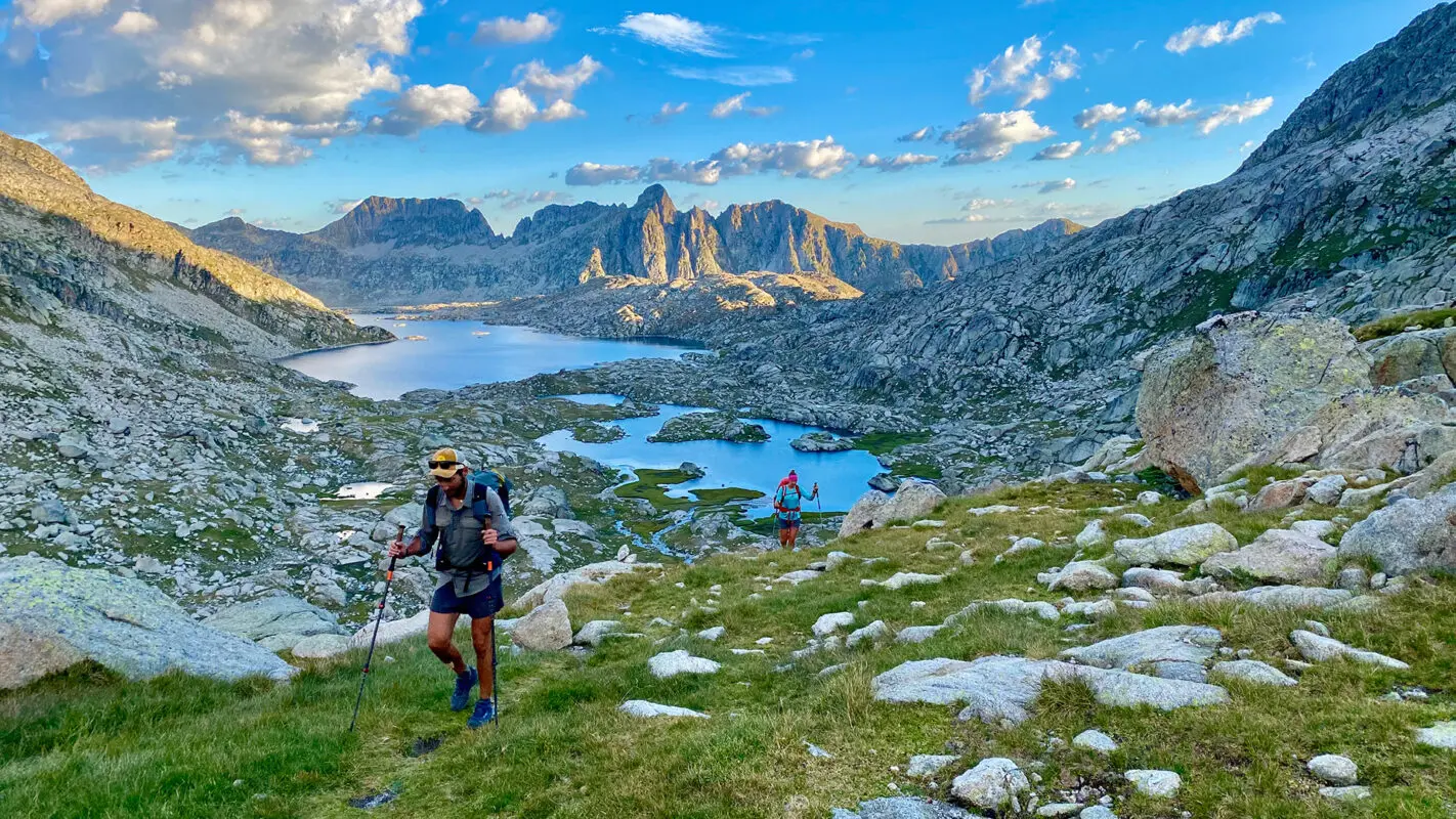
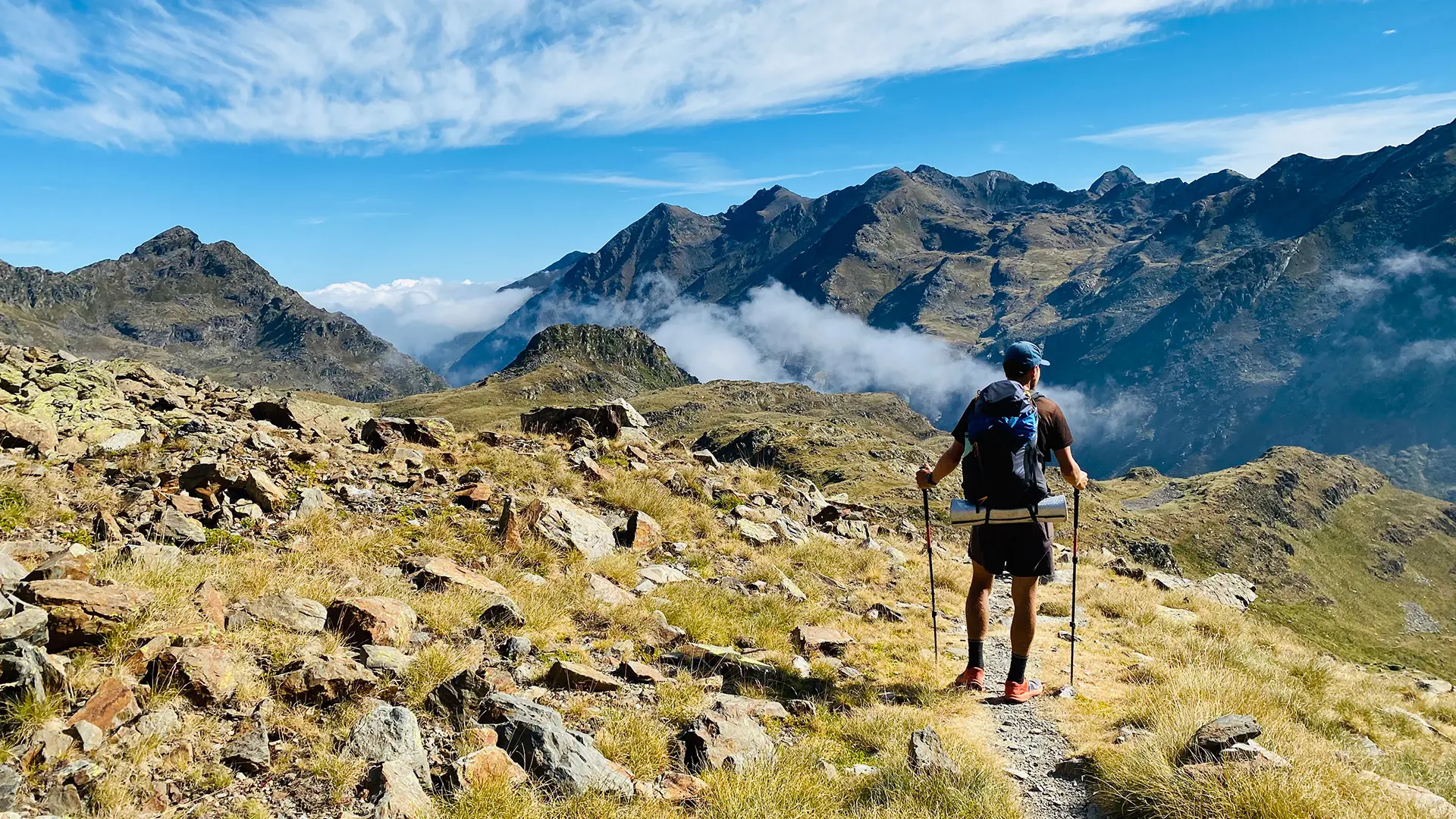
Highlights include the karst terrain of Pic d’Anie, the Ossoue glacier, Lac de Mar in the picturesque Val d’Aran, and the dramatic Cirque de Gavarnie with its towering cascade.

Stiina Kristal

Stiina Kristal

Stiina is an IML-qualified mountain leader and an experienced long-distance hiker. Together with her partner Kris, they love to explore trails all around the world, learning more about themselves with every adventure.

View profile

The Trail

The difficulty of this trail should not be underestimated: besides the quickly changing weather (from heat to thunderstorms to nightly freezing temperatures) and steep ascents and descents the route is also unmarked, forcing you to self-navigate. Depending on your pace, the resupply points can be up to 5 days apart, meaning a heavy backpack.

But the toughness of this trail will be rewarded by the views of the craggy peaks and green valleys of this ancient mountain chain. From the rolling green foothills of the Basque Country to the High Pyrenean landscapes of aquamarine lakes nestled among 3000m peaks, the scenery is as varied as it is beautiful.

You will certainly see some wildlife, such as marmots, isards, foxes, and the ibex. The trail is also culturally special, on the Spanish side taking you through the Basque culture to the Catalan culture, and also dropping into France and the Principality of Andorra.

The route has five distinct stages. The first stage goes from Hendaye to Lescun and begins with coastal views before jumping into intense mountain terrain. Stage 2, from Lescun to Gavarnie is filled with more gentle valleys and passes. But after the softer break for the body, you’ll head back into strenuous high-alpine in stage 3, where you’ll hike from Gavarnie to Salardu. In stage 4, you’ll trek from Salardu to Hospitalet-pres-l’Andorre. This is a sweet stage because you’ll pass cozy villages and crystal-clear mountain lakes where you can rest. Finally, stage 5, from L’Hospitalet-pres-l’Andorre to Banyuls sur-Mer, heads down to the Mediterranean coast, marking the end of your time in the Pyrenees.

Stages

The Pyrenees High Route (HRP) or Haute Randonnée Pyrénéennecan be devided in approximately 44 daily stages. This can all be found in the guidebooks of this trail. Here we outline the sections on the HRP.


  • Hendaye – Lescun, 165 km | 102 mi
  • Lescun – Gavarnie, 115 km | 71 mi
  • Gavarnie – Salardu, 155.5 km | 97 mi
  • Salardu – Hospitalet-pres-l’Andorre, 118.5 km | 74 mi
  • L’Hospitalet-pres-l’Andorre – Banyuls sur-Mer, 194.5 km | 121 mi

Accommodations

It is possible to hike the whole trail hut-to-hut by using guesthouses in towns as well. The route is also dotted with a lot of small, very basic unmanned huts (called cabanas or rifugis). We recommend to read the guidebook for further information.

Wild camping in Spain, France, and Andorra is illegal but oftentimes tolerated and you will certainly see other hikers wild camping. For wild camping please respect the Leave No Trace principles by setting up camp late and leaving early.

Best time of the year

The best time to attempt HRP is between June and September when the sky is the brightest. Of course, in summertime get ready for really warm temperatures even in high altitudes. Prepare to start very early in the morning to avoid enormous heat over the mid-day. Despite the summer, the Mediterranean climate in higher altitudes temperatures can drop below 0 degrees Celsius at night.

Safety & Gear

When you’re in the high-alpine, especially if you’ll be there for a while like on this trail, it’s important to do some preparation work before you go. Put together a light-weight pack with only the essentials. This includes breathable clothes that can be layered, as well as a guidebook/GPX/map, power bank for your devices, and plenty of water and snacks.

Send your itinerary to someone you trust, and include your anticipated end date. Be sure to update them if your plans change.

Good to know

If you plan your thru-hike for June and July (depending on the weather, it may be possible also in August) then be prepared to carry crampons/microspikes and an ice axe as the higher mountain passes will still have snow.

When hiking the Haute Randonnée Pyrénéenne, you will also be well-positioned to climb various high peaks of the Pyrenees (detailed in the official guidebook).

Never light a fire on the trail – it is strictly forbidden in many areas, and during summer months, the fire danger is very high. Don’t pick any flowers or plants.

Water can be obtained from natural sources along the route. Always filter or boil as there might be cattle around. Close gates that are meant to keep cattle in.

Route
Point to point
Highest point
2983M (9787 FT)
Water
Natural sources, with filter

Guidebooks

The Pyrenean haute route guidebook

Guidebook

View guidebook

Want to submit a trail or make this page more complete?

Comments

Be the first one to comment on this trail!

Reply to this trail

Your email address will not be published. Required fields are marked *

Reply to this trail

Log in to comment on this trail
Always read the disclaimer

Terms of Use: important to all visitors on this website. We strive to publish high quality content and information on this website. However it’s always possible that we’re missing out on some crucial information. In spite of the fact that this route, associated GPS track (GPX and maps) were prepared under diligent research by the specified contributor and/or contributors, the accuracy of such and judgement of the author is not guaranteed. Therefore, hiking-trails.com and contributors are in no way liable for personal injury, damage to personal property, or any other such situation that might happen to individuals hiking or following this route. Should you choose to hike this trail, this is always at your own risk. Check out our guidelines for safety hiking and Leave No Trace principles at the hiking 101 page.

Download GPX

Join the community!

Login or create a FREE account 😊

With an account you can:

Download GPX files

Pin trails to your wishlist

Mark trails as hiked by you

Rate hiking trails

Comment on trails, blogs and gear reviews

Happy trails!
Login

Don't have an account yet? Register here