About the The Lycian Way

country
Turkiye
length
520 km(323 mi)
Type of trail
Long-distance
difficulty

Difficulty is highly personal. Be aware of the weather conditions as bad weather turns easier trails in difficult trails especially in the mountains.

Moderate
accommodation

Lodging means a mix of hotels, hostels or AirBnB’s.

Wild camping, Camping, Lodging
Elevation gain
24447 m(80207 ft)
terrain
Coastal, Forest, Mountains
remoteness
Most of the time
Show more

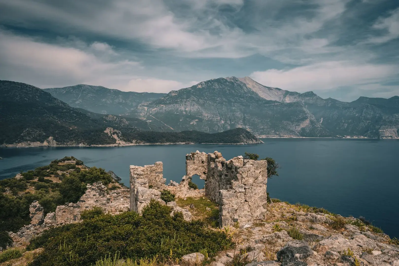
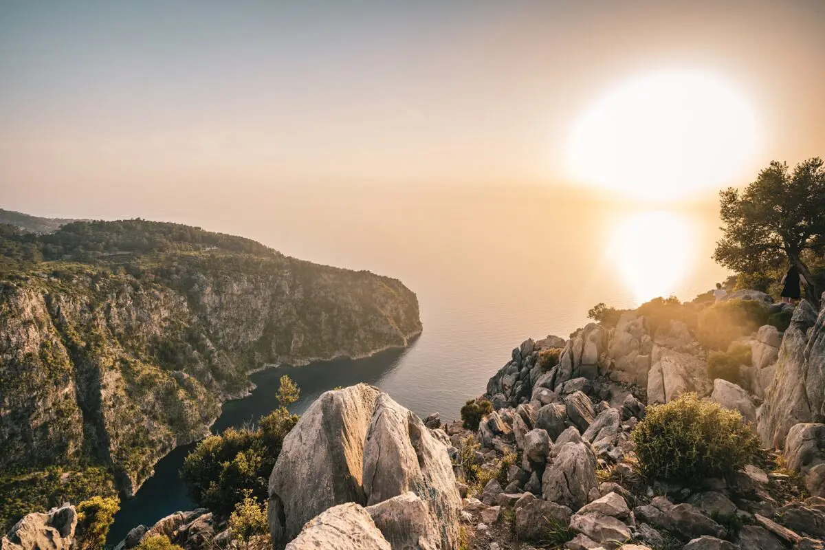
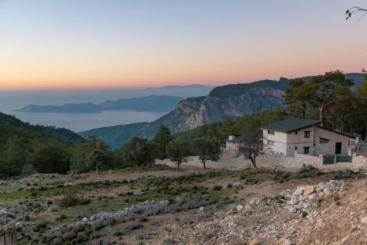
The Lycian Way is a historic trekking route of 520km that spans Turkey’s southwestern coastline, stretching from Oludeniz, near Fethiye to Geyikbayiri, near Antalya. With expansive views of the dazzling turquoise coast, the route crosses through pine forests, olive groves, and over farmland and rocky cliffs. Taking approximately 28 days to complete in its entirety, this is a challenging trek that requires a good level of fitness.

Combining technical terrain, difficult elevation, and the omnipresence of sunshine with strong UV and high temperatures, the rocky route can be difficult to navigate and endurance is a factor to consider.

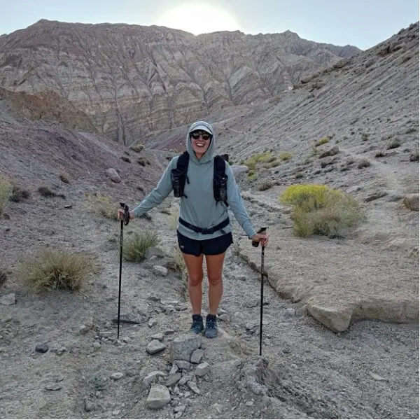
Women standing in mountains with hiking poles
Author

Jess Fellows

Having always been ‘sporty’ but never one to excel in any particular pursuit, Jess loves the simplicity of long distance: you don’t need to be particularly talented or fast at walking, you need only put one foot in front of the other. 

And it’s going the distance that truly tests one’s character. Slowing right down to see the natural world and its magnificence, and truly seeing it. To continuously be navigating new waters, and learning along the way. It’s the sense of freedom and resilience that Jess is consistently hungry for, to witness herself in all manner of experiences and extremes. To trust each tiny step, and to remember the bigger picture will take care of itself.

After a few long distance cycle tours, Jess was supposed to cycle around the world. Having planned and saved for many years, only a global pandemic could be the reason she didn’t go. So in the summer of 2020, craving some transformation and adventure, she decided to shave her head and start walking from her house in Bristol. She would go for 3-4 days at a time and enjoyed a few trips exploring the landscapes around the city and beyond. It was on these hikes that she and her partner started dreaming of bigger hikes for even more nature immersion. The thru hiking obsession had begun so by the summer of 2021 they were ready to take on the UK’s longest footpath along the South West Coast Path. The following summer they decided to return to Turkey to trek the Lycian Way, followed by hiking the GR5 route across the French Alps. After some shorter thru hikes in the UK, Europe and walking in the Himalayas, they are currently preparing for the PCT in 2024.

Jess has type one diabetes, eats a plant based diet and wears barefoot shoes. For work she is a wedding celebrant and yoga teacher on retreats. Check out her website to read more about her offerings and insights on her blog, and follow her PCT journey @uprootlife.

View profile

The Trail

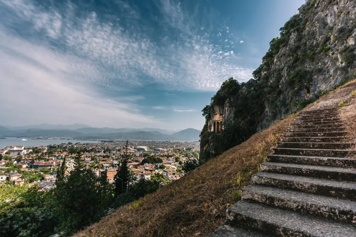
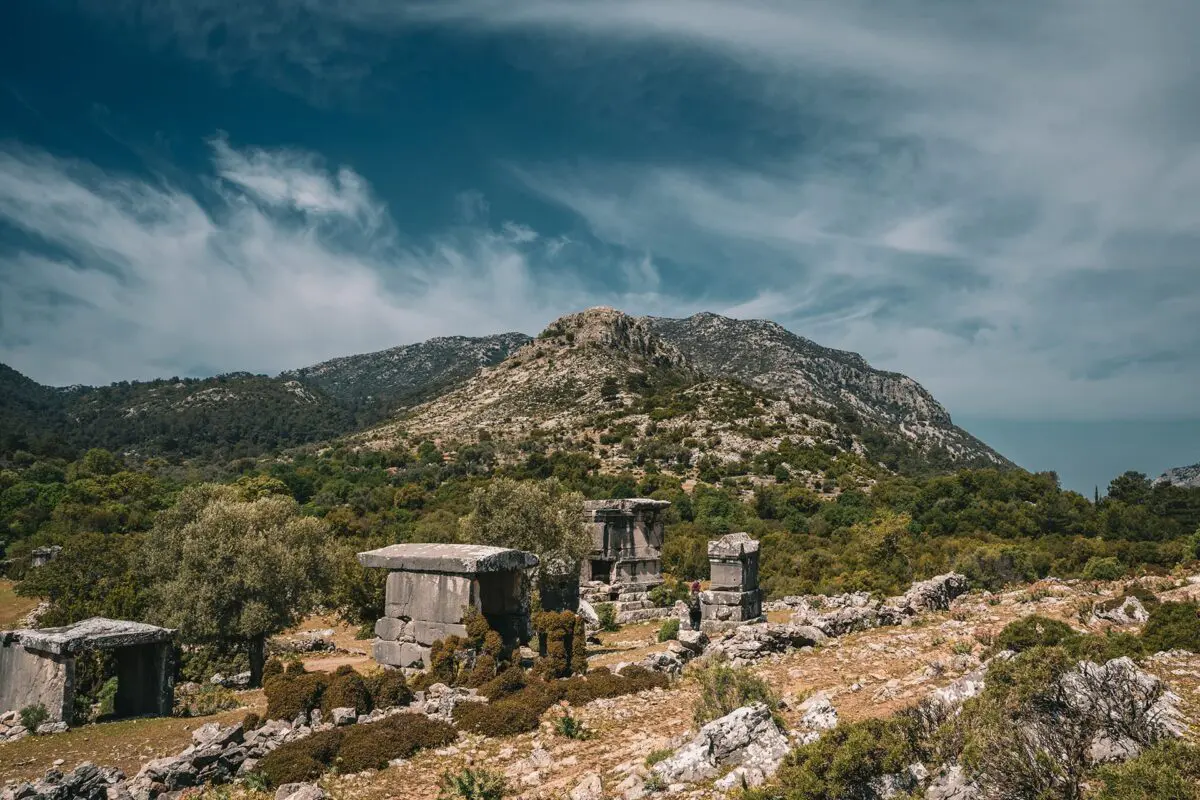
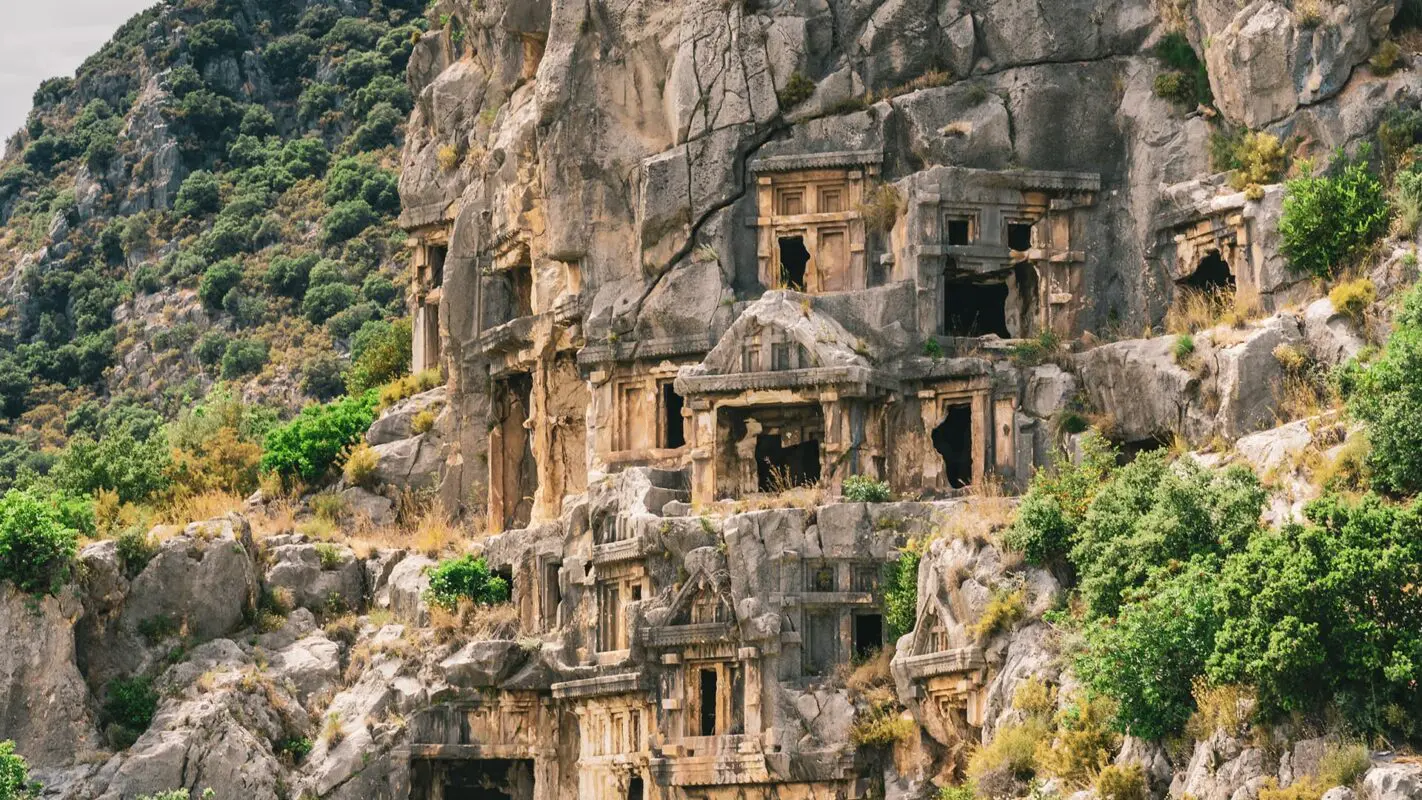
The Lycian way offers truly beautiful views and varied walking. The mountains rise steeply in places, peaking at 2300m from sea level. The route follows traces of the ancient trade route, connecting Lycian ruins with rural farming settlements and touristic beach towns via mule trails, nomadic paths, and Roman roads. The historical sites of graves and ruins are found in abundance throughout this area of the Tekke peninsula (formerly known as Lycia) and the Lycian Way passes through around 25 historical sites along the way. This cultural heritage dates back as far as 3000 BC and includes UNESCO World Heritage Sites and ancient cities. Quite often it feels like stepping back in time; imagine an enchanting landscape where ancient ruins crumble amongst lush greenery, with the Mediterranean Sea as a backdrop all the while quaint villages sit atop rocky cliffs. The trail follows the coast, and while sometimes it climbs high into the mountains, and other times remains at sea level, the trail never moves away more than 15 km inland from the Mediterranean. The trail offers a terrific mix of nature, culture, history, and tourism.

The Lycian way has adopted the same red and white waymark signals that are found on the GR routes across Europe. The marks are painted on rocks at regular points. Red X marks warn of a wrong turn. When the trail is curving on a bend it is indicated by a mark of > in the relative direction. Not to be confused with an arrow, the shape reflects the upcoming trail. There are also bigger signposts found at road and path junctions that are yellow which shows direction and distance between places. There are also helpful cairns (rock towers) showing the way when markers aren’t apparent that have been put up by fellow hikers. Locals are extremely friendly, kind, and generous; expect frequent offers of free chai and tomatoes.

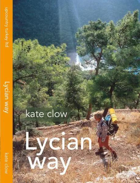
Kate Clow was the visionary behind the Lycian Way as we know it today. As a British expat living in Turkey, she was fascinated by the country’s history and after much research, pioneered the route in the 1990s. Kate has authored the most comprehensive Lycian Way guidebook. Since the route is subject to change and development, it would be advantageous to have a GPS digital map. Maps.me and OSM (OpenStreetMap) come recommended.

For international hikers, the Dalaman and Antalya airports serve as access points. There are further public transport links all along the trail. Hitch-hiking is safe in Turkey but always take reasonable caution. There are several opportunities to swim, canoe, or even paraglide.

Stages

Below you can find an example of a 19 day itinerary. There are however, a few alternatives where the trail splits:

  • Coastal and inland options between Kabak and Yediburunlar
  • A direct route from Sidyma to Xanthos
  • The St Nicholas Ways – a selection of 6 routes in the Alacadağ foothills above Demre, which link the Byzantine churches of the area to the Lycian Way.
  • Coastal route – Tekirova, Phaselis, Asagikuzdere, Goynuk Yaylasi, Hısarçandır, Çitdibi, Geyikbayırı
  • Inland route – Ulupınar, Beycik, Yukari Beycik, pass over Tahtalı Dağı at 1800m, Çukuryayla, Yayla Kuzdere, Gedelme, Goynuk Yaylasi, where it joins the coastal trail.
  • The Lyra Way – a difficult variation on the inland route – which leaves the route above at Beycik, circles Tahtalı on the north side and rejoins the route at Çukuryayla.
Stage 1:

Hisarönü (Ovacık) – Faralya

Stage 2:

Faralya – Kabak

Stage 3:

Kabak – Alınca

Stage 4:

Alınca – Yediburunlar

Stage 5:

Yediburunlar – Gavurağılı

Stage 6:

Gavurağılı-Patara

Stage 7:

Patara – Kalkan

Stage 8:

Kalkan – Sarıbelen-Gökçeören

Stage 9:

Gökçeören – Kaş

Stage 10:

Kaş – Kekova

Stage 11:

Kekova – Demre

Stage 12:

Demre – Finike

Stage 13:

Karaöz- Adrasan

Stage 14:

Adrasan – Çıralı

Stage 15:

Çıralı – Beycik or Çıralı – Tekirova

Stage 16:

Tekirova-Phaselis-Gedelme or Beycik-Tahtalı Dağı-Gedelme

Stage 17:

Gedelme – Göynük

Stage 18:

Göynük – Hisarçandır

Stage 19:

Hisarçandır – Geyikbayırı

Accommodations

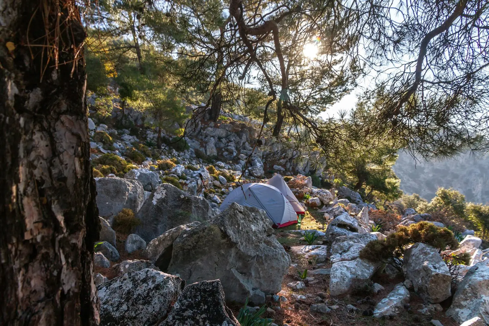
Wild camping in Turkey is permitted anywhere on land that isn’t private, terrain permitting. You don’t need to stay at a designated campsite, though there are a few dotted along the way if you’d like to take advantage of services. In the larger tourist towns, you will find campsites, hotels, Airbnbs, and hostels. Smaller villages on the trail sometimes have pensions, i.e. guesthouses where dinner and breakfast can be provided. Not every section of the Lycian Way passes through a town or has accommodation for lodging, so a tent is required. If you do not plan to camp, consult a hiking tour guide in advance for them to locate places for you to stay and organize your logistics. On maps.me other hikers have updated the digital map with suitable camping places.

Best time of the year

The best time to hike the Lycian Way is from March through May. Avoid the summer months, they are notoriously too hot for hiking; often over 40 degrees. Autumn (Sept – Nov) is possible if it hasn’t been a particularly hot year, or else many of the water sources will be dry. Winter also poses its challenge, it can be uncomfortably cold and much of the higher passes will be covered in snow.

Safety & Gear

Before you start hiking, check how you’ll do with the trail’s difficulty, length, elevation gain, and terrain. You can learn more not only using this website, but also from guidebooks, hikers who have hiked this trail already, and local hiking tourism organizations.

This is a long trail, so it can be difficult to know any specifics. However, if you can, share your hiking plans with your family or friends, with details like your (rough) start and end times, chosen trail route (and alternates!), and emergency contact information.

Hiking along the coast means the weather can change rapidly, so avoid heading out when you see extreme weather on the forecast, including heat waves. You can check with locals in the villages along the way if you’re unsure where to find this information.

Also, make sure to top off your water and fuel each day before starting. We recommend at least two liters of water and taking electrolyte tablets with you.

Familiarize yourself with the trail map and carry navigation tools such as a compass or GPS device to stay oriented.

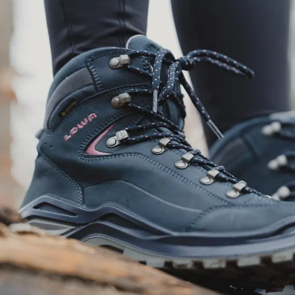
Invest in the right hiking gear, including comfortable, supportive footwear, proper hiking clothing, such as warm base layers and a hardshell rain jacket, hiking poles, a well-fitted backpack, and essential equipment like maps, GPS devices (when needed), and a first-aid kit. Check out our comprehensive gear list for long-distance trails like this.

Respect the principles of Leave No Trace by minimizing your impact on the environment. Stick to designated trails, pack out all trash, and show respect for wildlife and natural habitats.

Good to know

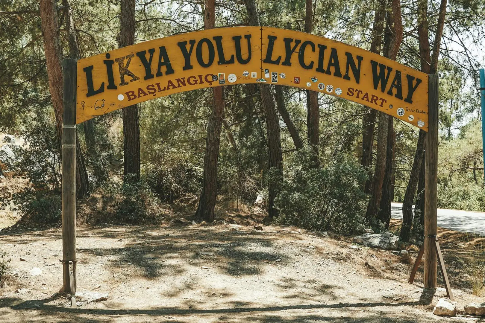
The start point, at Ölüdeniz, is 2 hours from Dalaman airport by bus and the endpoint is now at Geyikbayırı, from which there are daily buses to Antalya.

Snakes, spiders, and scorpions can be found on the Lycian Way, so always be mindful when stepping over or moving rocks and it would be wise to shake out shoes in the morning. Be aware that Turkey has a lot of stray dogs, most of whom are friendly and curious but occasionally they can be territorial. If you’re feeling threatened, the act of bending down to pick up a rock/stone is enough for them to run away, rarely would you need to throw one. Many locals keep Kangal dogs as guard dogs for their livestock, but they are usually chained up so you don’t need to worry about walking past them.

Water points are frequent on the route. There are community taps in most towns and villages and sometimes you’ll pass taps or wells on the more remote sections. It is safe to drink from these water sources, though it is recommended to carry a water filter or purification tablets/drops. Due to high temperatures in this part of Turkey, it’s important to check the map resources to locate and know the next water source ahead. Make sure to plan food and water carries as there are remote sections without access to either.

The weather can be excruciatingly hot, depending on when you go and there are many unshaded sections where you’ll be very exposed to high UV levels. Be prepared with sun protection; umbrellas, hats, sunscreen, and sunglasses.

The Lycian Way can be very remote. The trail crosses some sleepy villages and farms where you might occasionally see someone, but often you will be hiking for hours without seeing anyone. Hiking isn’t very popular within Turkish culture, rarely do you meet day hikers.

Route
Point to point
Highest point
2300m (7546 ft)

Guidebooks

cover guidebook

Lycian Way

View guidebook

Want to submit a trail or make this page more complete?

Comments

Be the first one to comment on this trail!

Reply to this trail

Your email address will not be published. Required fields are marked *

Reply to this trail

Log in to comment on this trail
Always read the disclaimer

Terms of Use: important to all visitors on this website. We strive to publish high quality content and information on this website. However it’s always possible that we’re missing out on some crucial information. In spite of the fact that this route, associated GPS track (GPX and maps) were prepared under diligent research by the specified contributor and/or contributors, the accuracy of such and judgement of the author is not guaranteed. Therefore, hiking-trails.com and contributors are in no way liable for personal injury, damage to personal property, or any other such situation that might happen to individuals hiking or following this route. Should you choose to hike this trail, this is always at your own risk. Check out our guidelines for safety hiking and Leave No Trace principles at the hiking 101 page.

Download GPX

Join the community!

Login or create a FREE account 😊

With an account you can:

Download GPX files

Pin trails to your wishlist

Mark trails as hiked by you

Rate hiking trails

Comment on trails, blogs and gear reviews

Happy trails!
Login

Don't have an account yet? Register here