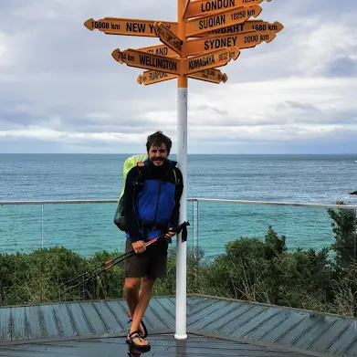
About the Te Araroa

country
New Zealand
length
3039 km(1888 mi)
Type of trail
Thru-hike, Long-distance
difficulty

Difficulty is highly personal. Be aware of the weather conditions as bad weather turns easier trails in difficult trails especially in the mountains.

Difficult
accommodation

Lodging means a mix of hotels, hostels or AirBnB’s.

Camping, Lodging, Mountain huts, Wild camping
Elevation gain
88000 m(288714 ft)
terrain
Forest, Coastal, Hills, Mountains, Urban
remoteness
Some of the time
Show more

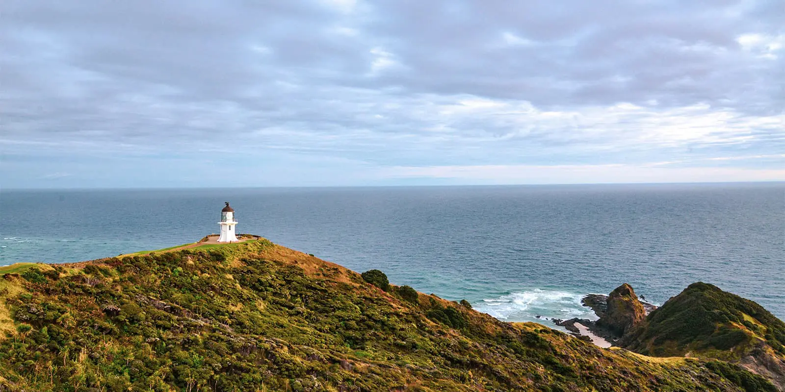
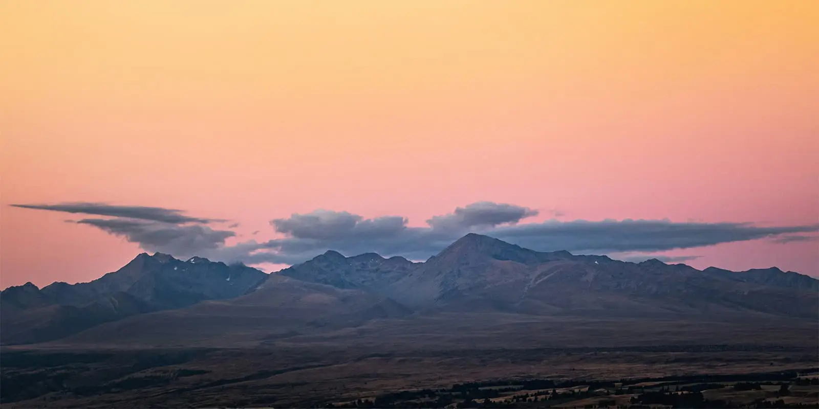
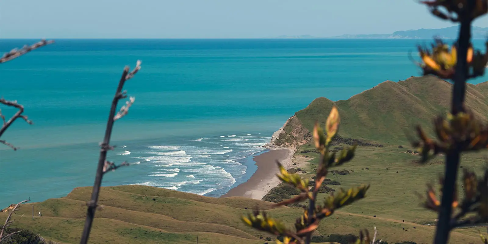
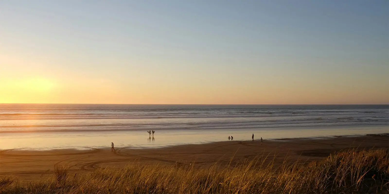
The Te Araroa is New Zealand’s longest-distance hike across the North and South islands. If you attempt it in one go, you’ll thru-hike 3039 kilometers (1888 mi.) of the most stunning nature the country has to offer. The trail was opened in 2011 and goes all the way through beautiful Aotearoa New Zealand. Approximately 2000 hikers complete the trail each year, with countless more enjoying section hikes of the route.

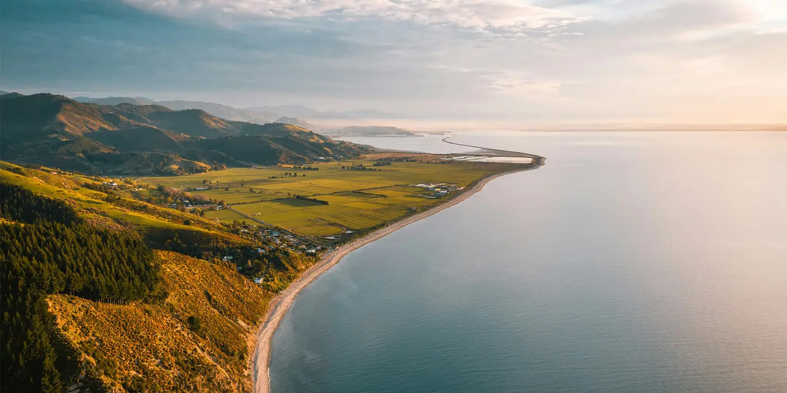
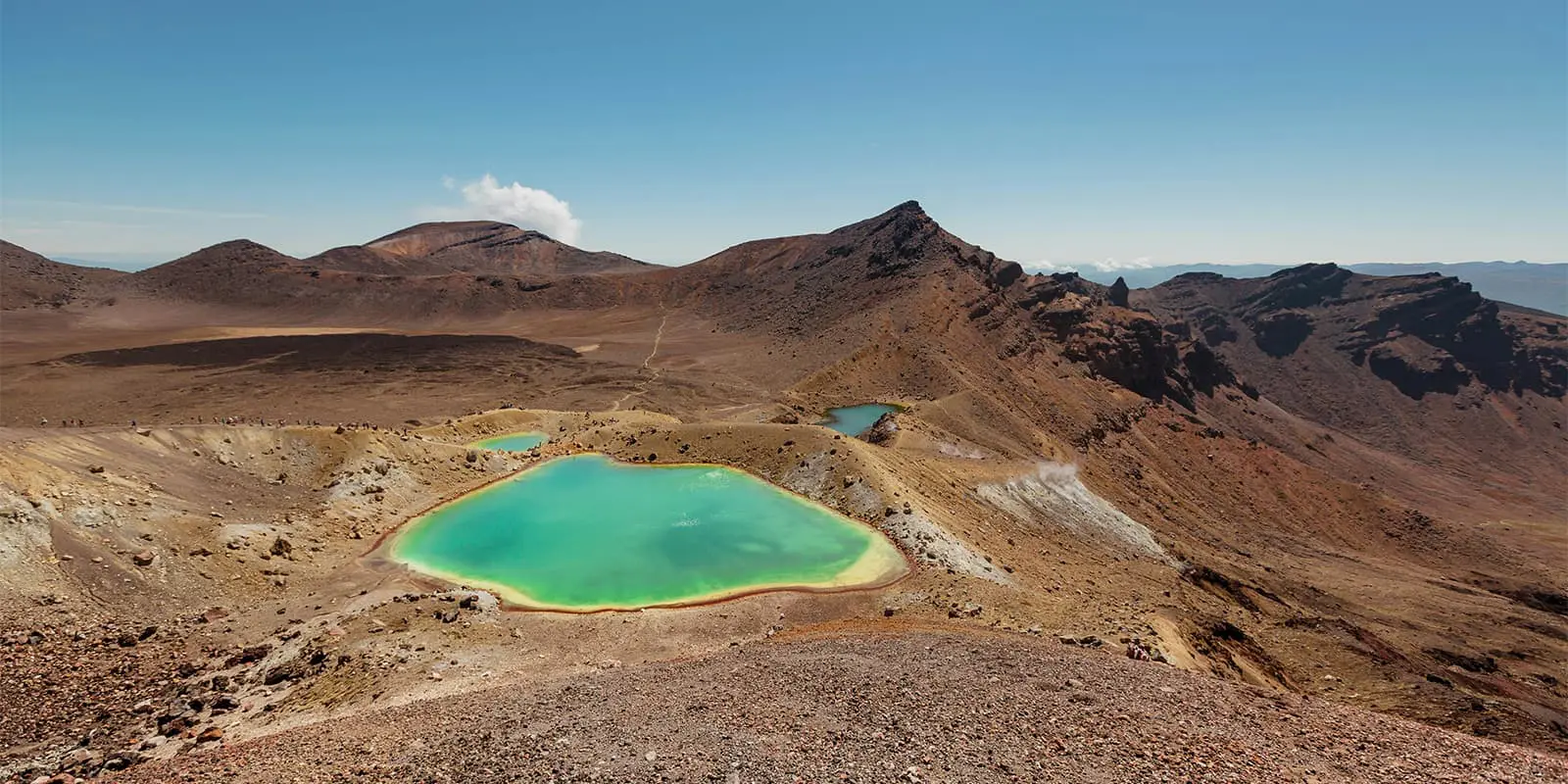
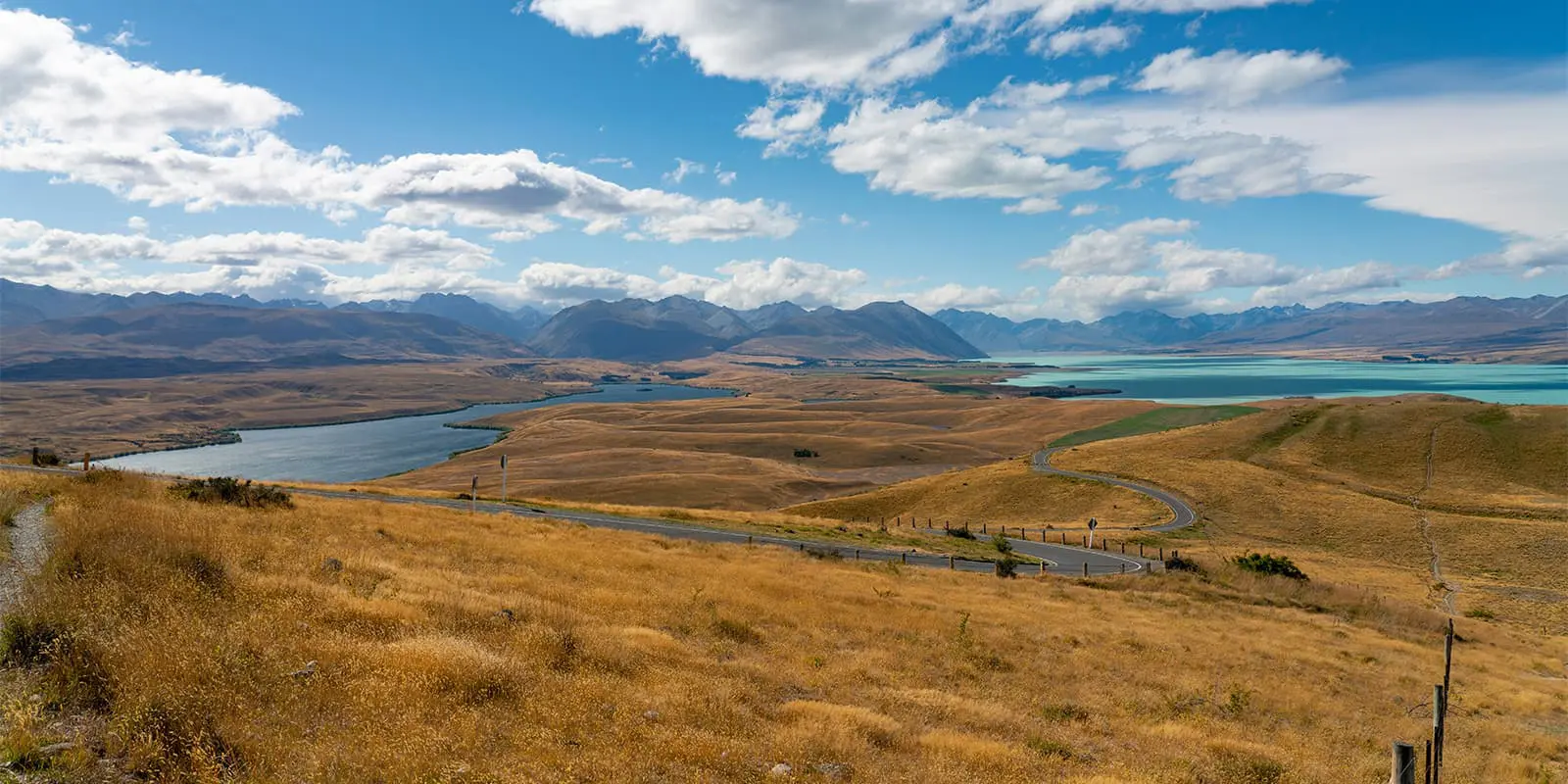
You’ll climb mountain passes, skirt around volcanos, enjoy walking on the beach, stomp through wetlands, and so much more. The Te Araroa is also starting its journey to become a regenerative trail, putting the safety and protection of the environment first while providing a fun experience for the people to hike it.

antoine profile picture

Antoine Breitenmoser

Antoine was born in Switzerland and is always to be found wandering through the mountains of its home country or somewhere else. He can be found hiking in his sandals during the warmer months or using backcountry skies in the snow during the winter. You can follow Antoine on Instagram @antoineb90. 

View profile

The Trail

Because of their unique distinctions, it’s best to describe the trail in two sections: divided by island. Due to the trail’s young age, the exact path is still evolving and under construction. Each year the route will change a little and you will still encounter some road walks. Most trampers (this is what hikers are called in NZ) walk it SOBO (southbound: from north to south).

The North Island is mostly coastal and goes through a lot of developed areas. Beaches, villages, sheep pastures, and cities. You’ll encounter the indigenous Maori culture and heritage and also the most populated parts of the country. On the plus side, resupply is easier and contact with locals is very welcoming. On the other side, you’ll have quite a few long stretches to walk on the road. If you’re not a thru-hiking purist, you can skip them by hitchhiking. Kiwis (slang for New Zealanders) are very helpful and kind.

The South Island is an entirely different story. The island is far more remote and you’ll have to plan resupply and send food boxes to various places along the way. The trail is more isolated, and mountainous, and can be exhausting at times. All of this is well balanced with amazing views, nice little huts, and crazy river crossings.

Therefore, some people choose only to walk the 1300 kilometers of the South Island while others start the South Island section with already 1700 kilometers of training crossing the North Island.

Both islands have much to offer, just different offerings. If you’re looking to see a holistic view of New Zealand’s culture and people, then you may enjoy hiking both islands. If you’re in it just for solitude and quiet outside, the South Island may be the section you choose to focus on. Either way, there’s something for everyone on the Te Araroa.

Stages

The time to hike the entire length of Te Araroa depends on factors such as fitness level, determination, weather conditions, and personal pace.

Accommodations

Here too, it is worth separating the description for both islands. Because the North Island is more developed, you will stay at dedicated campsites and hostels for most of the trail. Wild camping is permitted on public land, although there are many exceptions. Please read the trail notes carefully to pick your camp spot. As always, be sure to follow the Leave No Trace rules. The trail is still in development so information that was true 2-3 years ago may have changed. Make sure to always use the most up-to-date GPX files for your hiking year.

On the South Island, wild camping is far easier because of the remoteness of the trail. Also, there is a vast and well-maintained network of huts (basic housing with a table, some bunks with or without mattresses, and some kind of water supply) available to trampers. Be sure to respect the huts, take rubbish with you, and not leave any food behind. The hut costs are already included with the trail pass you will need to purchase for the trail.

However, please check also on the Trail Notes which huts need to be booked in advance. Most of the time you can camp beside the huts if there is no space inside. In populated places, you may find that serviced campgrounds, hostels, and hotel options are also available.

Best time of the year

If you are hiking the Te Araroa SOBO, you’ll want to start around October-November right after the end of the rain and lambing season, so that you can reach the end of the trail before winter returns at the end of March. NOBOs usually start at the beginning of January when the southern Alps are snow-free. New Zealand is known to have a lot of weather variations so you might get all 4 seasons in a day sometimes.

Keep in mind that the weather in the high mountains can change rapidly, and it’s important to be prepared for all conditions, including rain or snow. Always check trail conditions and local weather forecasts before starting a high-alpine hike. Additionally, consider your hiking experience and skill level, as some trails in the Tararuas and the Southern Alps can be challenging and require proper equipment and experience.

Safety & Gear

While walking the south island, it is a good idea to carry a personal locator beacon or satellite messenger, as mobile coverage is not available everywhere. Additionally, you will want to make sure you have the GPX files for the trail downloaded offline so you can access them at any time.

Be aware that not all rivers have bridges, so it might be necessary to wait for the water levels to go down after a rainy episode. River crossings can be challenging, so be careful. When in doubt, wait for other trampers to get help crossing or find an alternative route.

Packing for a thru-hike can be a challenging task, so you may find a gear list like this helpful for inspiration for what to pack. The North and South Islands are two different experiences, and you may need to change what you carry based on how you plan to complete each section.

Finally, taking a first aid course or wilderness first aid course before starting a thru-hike like this is always a good idea. Arm yourself with the knowledge to be able to help yourself and others in times of emergency, and you’ll be more confident going into the backcountry.

Good to know

The trail is still evolving, be sure to check the resources on the official website and read the maps and trail notes carefully. Also, certain parts of the trail are already overcrowded. A permit system will probably have to be put in place to limit the amount of hikers in the next few years.

There are enough water points in villages and rivers on the North Island. On the South Island you’ll find rivers and huts (rainwater collection) so water might be treated or filtered.

route
point-to-point
highest point
1925m (6315 ft)

Want to submit a trail or make this page more complete?

Join the community!

Login or create a FREE account 😊

With an account you can:

Download GPX files

Pin trails to your wishlist

Mark trails as hiked by you

Rate hiking trails

Comment on trails, blogs and gear reviews

Happy trails!
Login

Don't have an account yet? Register here