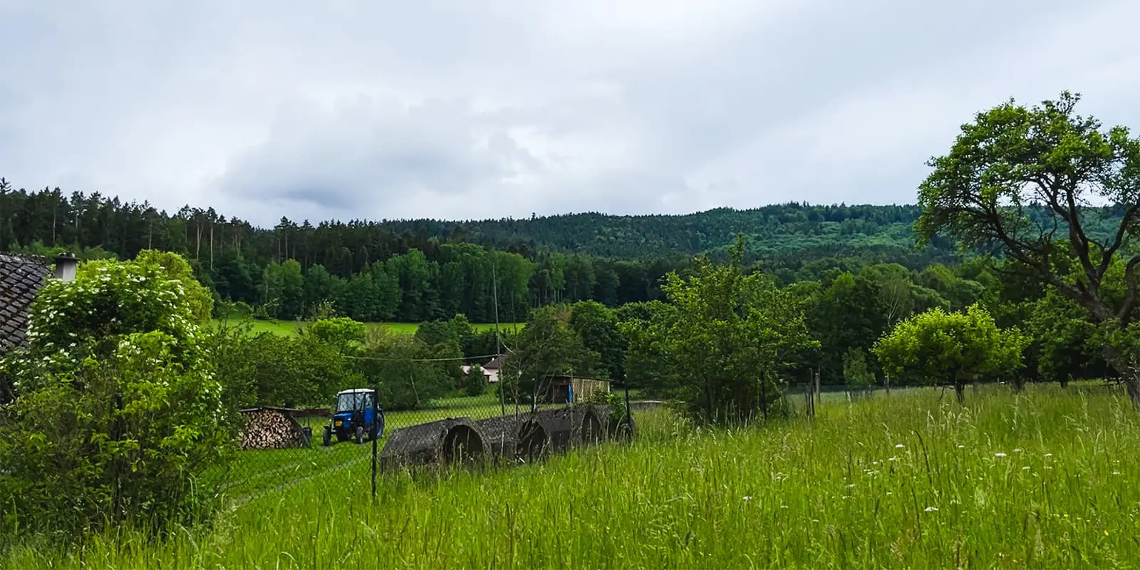
About the Šumava National Park

country
Czech Republic
length
50 km(31 mi)
Type of trail
Long-distance, Day hike
difficulty

Difficulty is highly personal. Be aware of the weather conditions as bad weather turns easier trails in difficult trails especially in the mountains.

Moderate
accommodation

Lodging means a mix of hotels, hostels or AirBnB’s.

Camping, Lodging
Elevation gain
1592 m(5223 ft)
terrain
Forest, Countryside, Hills
remoteness
Some of the time
Show more

Šumava National Park, with its hills, picturesque lakes, and rich flora and fauna are on everyone’s lips and minds across the Czech Republic and adjacent countries like Germany and Austria. Šumava offers visitors the chance to enjoy their favorite activities even as the seasons change, thanks to its varied terrain.

The trailhead is in the city of Nyrsko – the northern gate to Sumava National Park. You can get there by car, local train, or bus from the bigger cities of Pilsen or Klatovy. The trail is a combination of various official trails: the popular Goldsteig, which is almost 2000 kilometers long, Via Czechia, and the newly created Stezka Českem.

Taras profile picture
Author

Taras

Hello there, my name is Taras, born in Ukraine. My hiking experience started almost 10 years ago when I moved to the Czech Republic – a beautiful country with cozy trails. Hiking in the Czech Republic, according to my observations, offers a diverse and picturesque experience, with well-marked trails, which get you through lush forests, rolling hills, and cute villages. My main approach is day hikes and multi-day hikes (up to 4 days now) across Europe. Two years ago I started to gain some running experience and via ferrata. I’m also interested in developing an adequate tourism community for all hikers. 🙂

You can follow me on Instagram!

View profile

The Trail

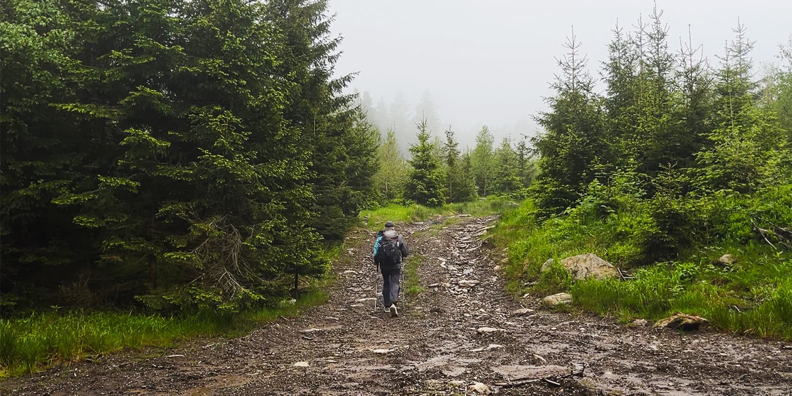
The beginning is relatively easy, making it a perfect warm-up for the journey ahead. The trail gently ascends through lush forests, providing nice shade and serene views of the classic west Bohemian countryside. You’ll pass by the big water reservoir, and after this nice warm-up you’ll be onto the next challenge.

From Hamry to lake Černé jezero there is a moderate climb, but the effort is well worth it. During this section you’ll see waterfalls, running rivers and probably some other hikers. This is a popular way to get to Germany and vice versa.

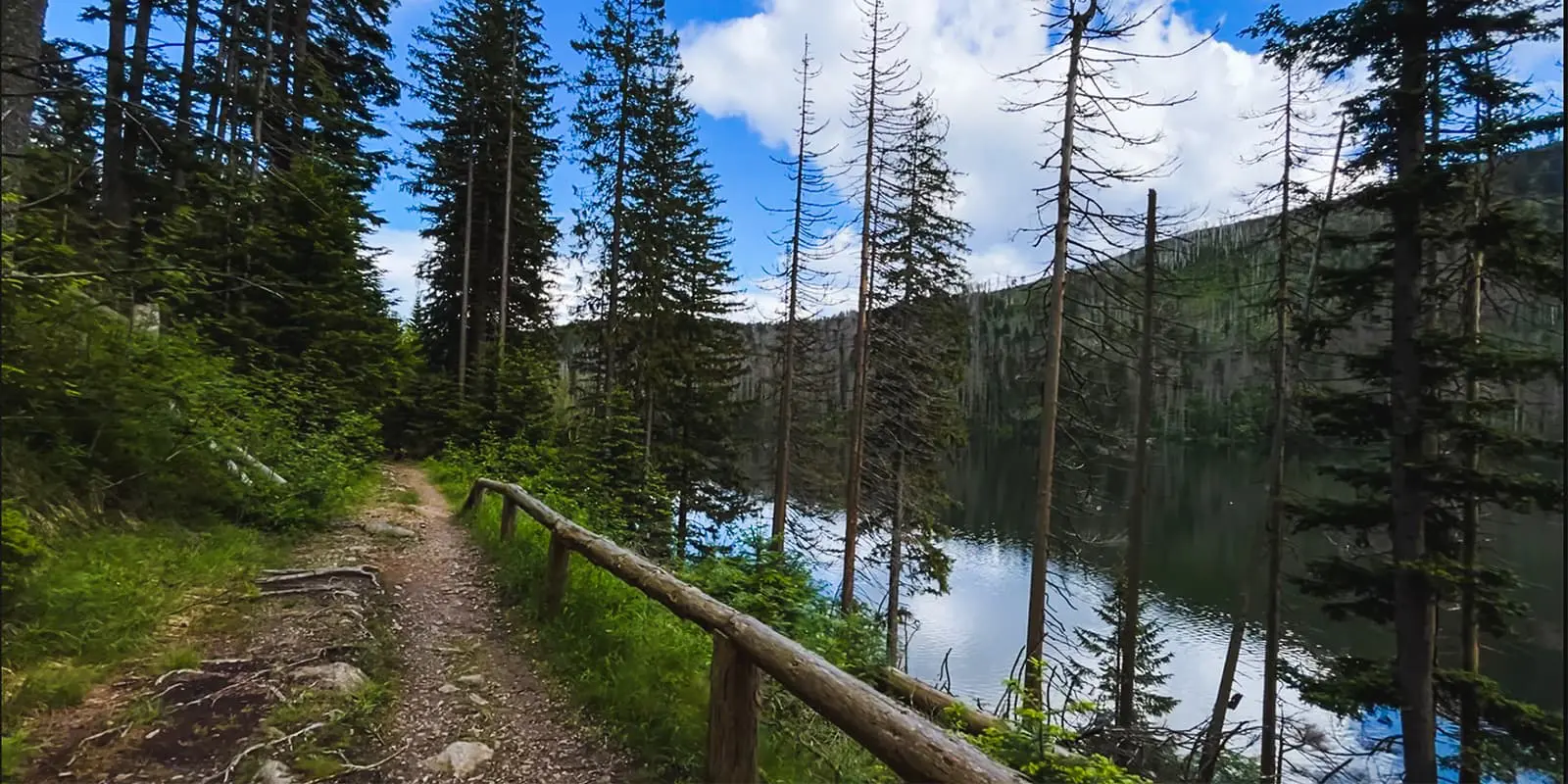
Next, there is a short, but a bit challenging part, especially during hot summer days. You’ll hike from the Černé jezero to the Čertovo jezero. After the trail reconstruction in 2023-2024, it is easier to conquer this part but still it’s a quite prolonged climb. At least, it looks like a highway through the forest.

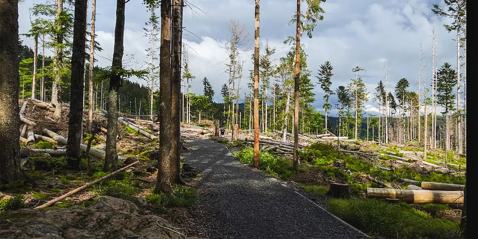
After a hearty snack at the lake it’s time to continue. You will still be on the red hiking trail at this point, which is a combination of Via Czechia and Stezka Českem. It is newly reconstructed, with fine gravel route and picturesque views, mostly flat. The end of this section is a crossroad of motorway number 27 and the Via Czechia hiking trail. Here you can choose to continue following the red trail or take a little walk to the southwest, taking the sidewalk along the 27 motorway to pick up a snack at the grocery store called Travel Free Shop, or walk further to the next shop, the FreeOne Shop.

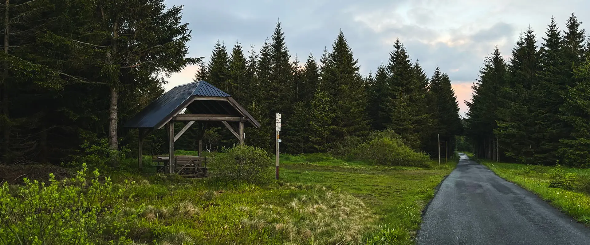
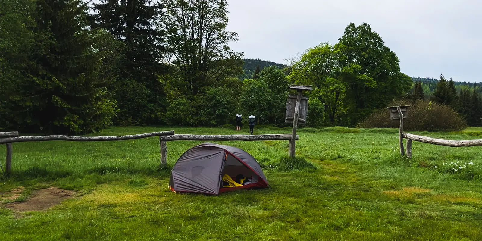
The penultimate part of the trail continues with the red Via Czechia trail, enjoying the deep mixed Šumava forests. You’ll take an asphalt route with slight changes of elevation to the next crossroad of the trail where you’ll switch onto the yellow route, ending at the established campsite named Hůrka, where you can choose to camp if you want.

Finally, the next day, or the same day if you’re feeling prepared to hike the whole 50km in one go, you’ll hike from the campsite north to the village Nová Hůrka. After crossing the bridge above the Drozdí stream, take the bike route number 33, or so-called Šumavská, to the hotel and restaurant Grádl ending in the town of Železná Ruda, where the train/bus station is. It is also possible to have a rest there in one of the traditional Czech restaurants or coffee shops.

Stages

This is a hike that some people attempt to finish in one day as a challenge. However, splitting the trail up into two days is still a great test of endurance and will give you a chance to hike a bit slower and enjoy the beautiful lakes and campgrounds that you will pass. You can also add a third day if you choose to stay in a hotel in Špičák to break up the first day.

2-stage itinerary

Stage 1:

Nýrsko – Trail Camp Hůrka 36.2 km | 22.5 mi

Stage 2:

Trail camp Hůrka – Železná Ruda 13.8 km | 8.5 mi

Accommodations

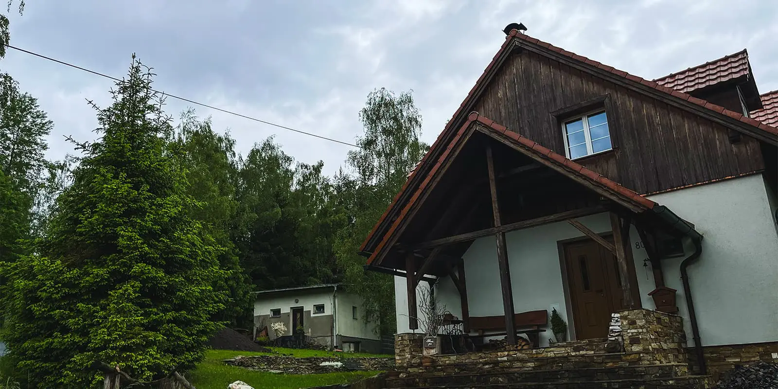
There are possibilities to stay overnight in a variety of hotels and hostels in the village Špičák if you take the yellow route from lake Čertovo jezero.

Wild camping in the Šumava National Park is strictly prohibited, so they created legal campsites throughout the park – on this hike, it is the campsite Hůrka. This location is perfect to set up a tent, and there is a bio toilet. No need to book a spot, as it has a capacity of up to 10 tents. You can only stay there for 1 night and open hours are every day from 18:00 to 9:00. The campsite is not observed by the local rangers or security but make sure to follow the rules regardless!

Best time of the year

You can hike this particular section of the Šumava National Park all year, but the best seasons are March-October. Of course, winter could be just more difficult because of the huge amount of snow, in the mid-season the rain can bring floods, and in summer the sun can be very hot.

But most of the year the weather is mild and the coziness of the hike is directly connected to the equipment you have chosen.

Safety & Gear

The equipment you should pick when hiking this trail is connected to the season you choose to hike. In this part of Europe, conditions can be wet most of the time (excluding summer) so having a rain jacket is necessary. Also a puff jacket is good to have, because water alongside the trail makes it sometimes chilly.

A water filter is a good piece of gear to have on this hike. Rivers and streams are located sometimes far from the main source and flow through the forest where the wild animals are using them too.

Good to know

The Šumava National Park is a place where you may meet lots of hikers, so you don’t need to worry too much about taking the wrong path. You’ll find that there are enough water points along the trail due to the high amount of streams and rivers. And it isn’t a big deal to ask for water also in restaurants and villages. Finally, you’ll find comfort in the fact that the trail is well-marked and easy to follow!

There are enough water points along the trail due to the high amount of streams and rivers. Not a big deal to ask for water also in restaurants and villages.


route
point to point
Highest point
1200m (3937 ft)

Want to submit a trail or make this page more complete?

Always read the disclaimer

Terms of Use: important to all visitors on this website. We strive to publish high quality content and information on this website. However it’s always possible that we’re missing out on some crucial information. In spite of the fact that this route, associated GPS track (GPX and maps) were prepared under diligent research by the specified contributor and/or contributors, the accuracy of such and judgement of the author is not guaranteed. Therefore, hiking-trails.com and contributors are in no way liable for personal injury, damage to personal property, or any other such situation that might happen to individuals hiking or following this route. Should you choose to hike this trail, this is always at your own risk. Check out our guidelines for safety hiking and Leave No Trace principles at the hiking 101 page.

Download GPX

Join the community!

Login or create a FREE account 😊

With an account you can:

Download GPX files

Pin trails to your wishlist

Mark trails as hiked by you

Rate hiking trails

Comment on trails, blogs and gear reviews

Happy trails!
Login

Don't have an account yet? Register here