About the Streek GR Groene Gordel

country
Belgium
length
157 km(98 mi)
Type of trail
Long-distance
difficulty

Difficulty is highly personal. Be aware of the weather conditions as bad weather turns easier trails in difficult trails especially in the mountains.

Easy
accommodation

Lodging means a mix of hotels, hostels or AirBnB’s.

Lodging
Elevation gain
1150 m(3773 ft)
terrain
Countryside, Flat, Forest
remoteness
Most of the time
Show more

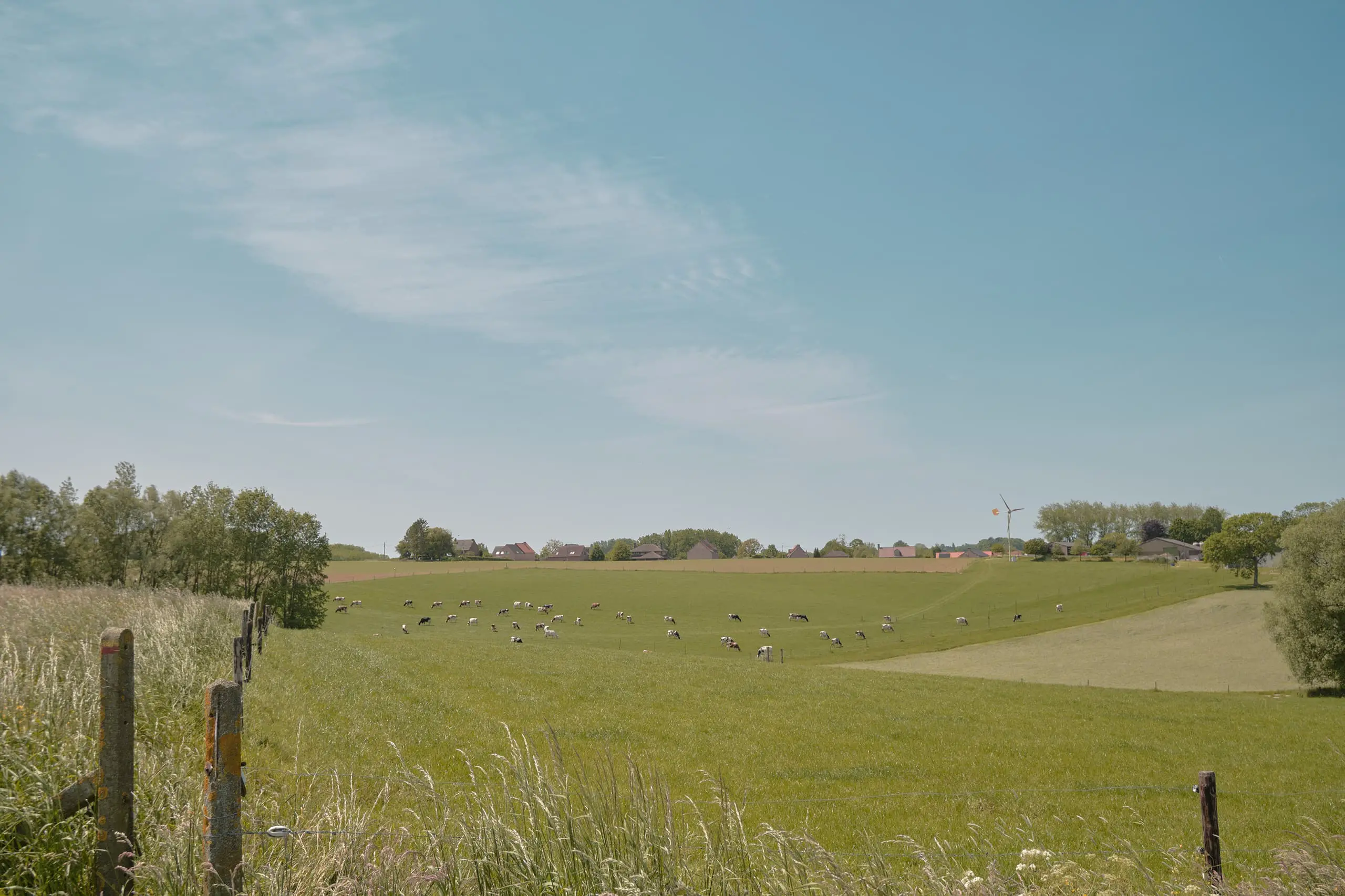
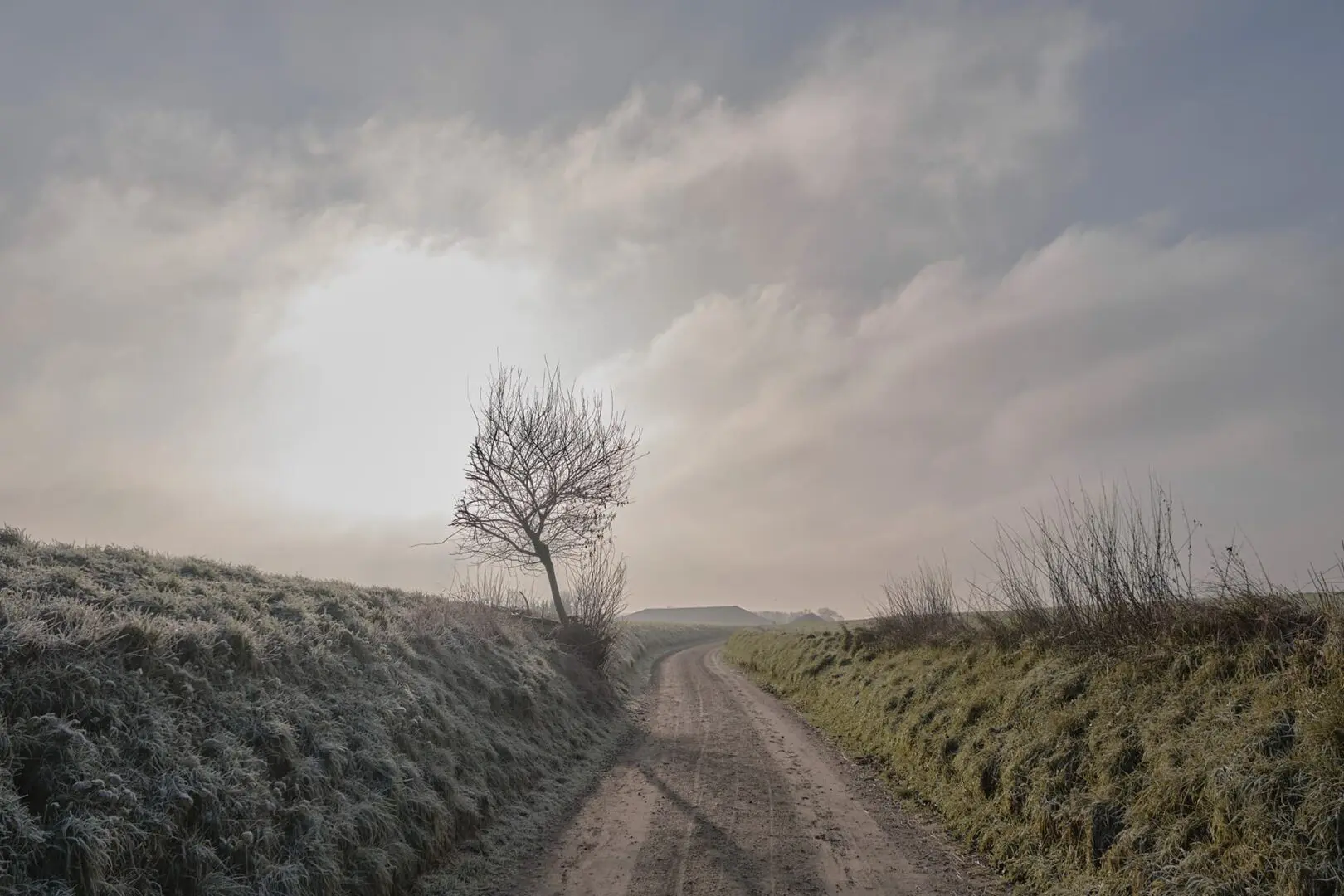
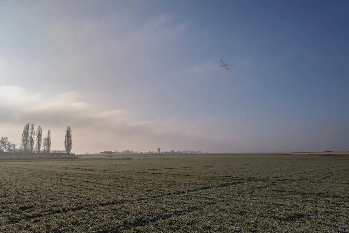
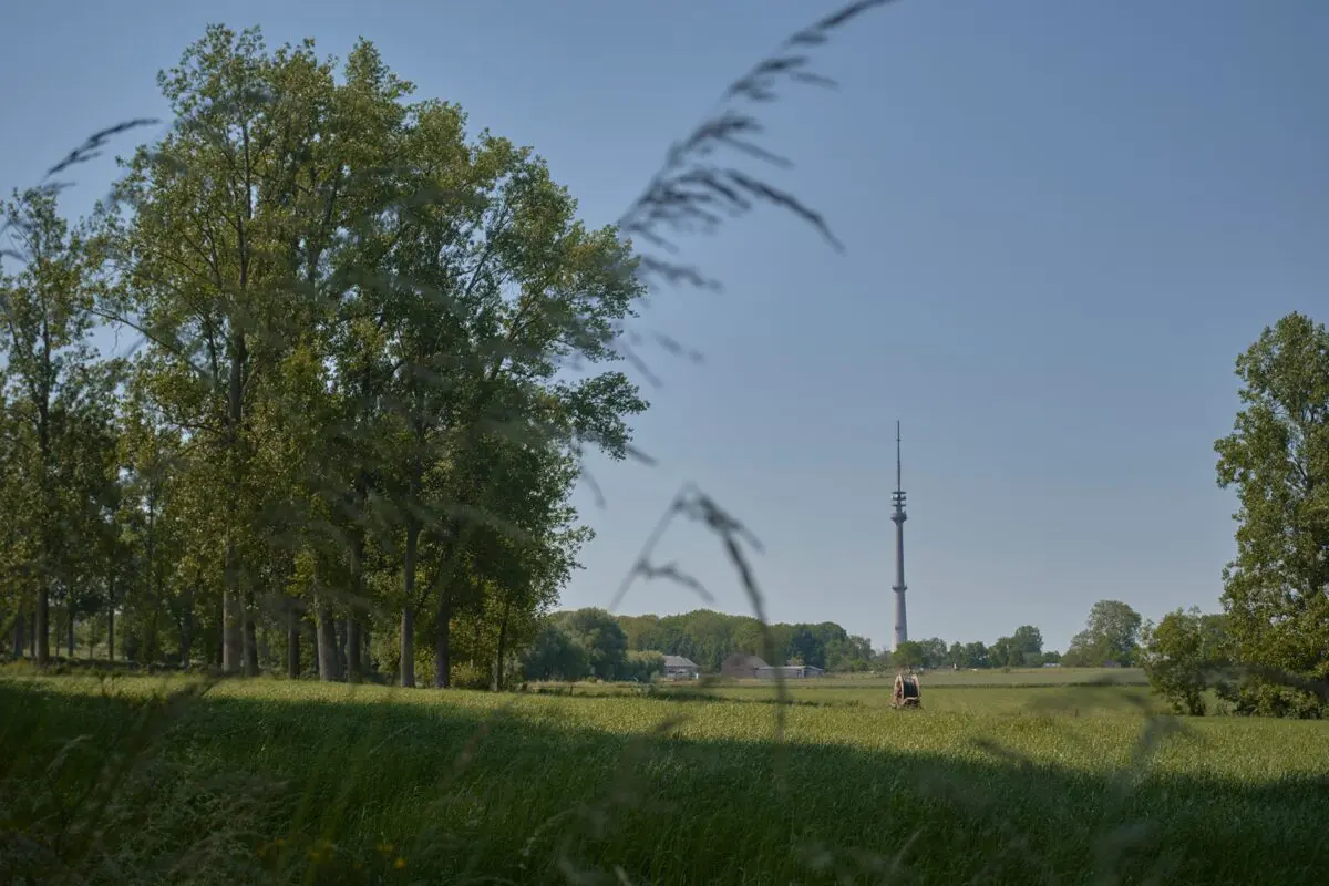
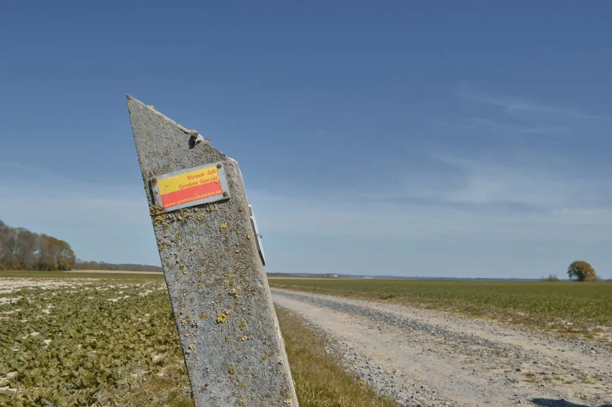
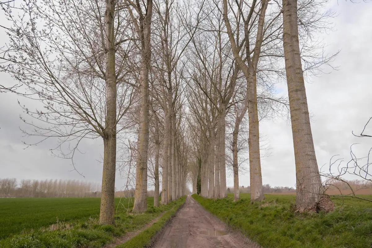
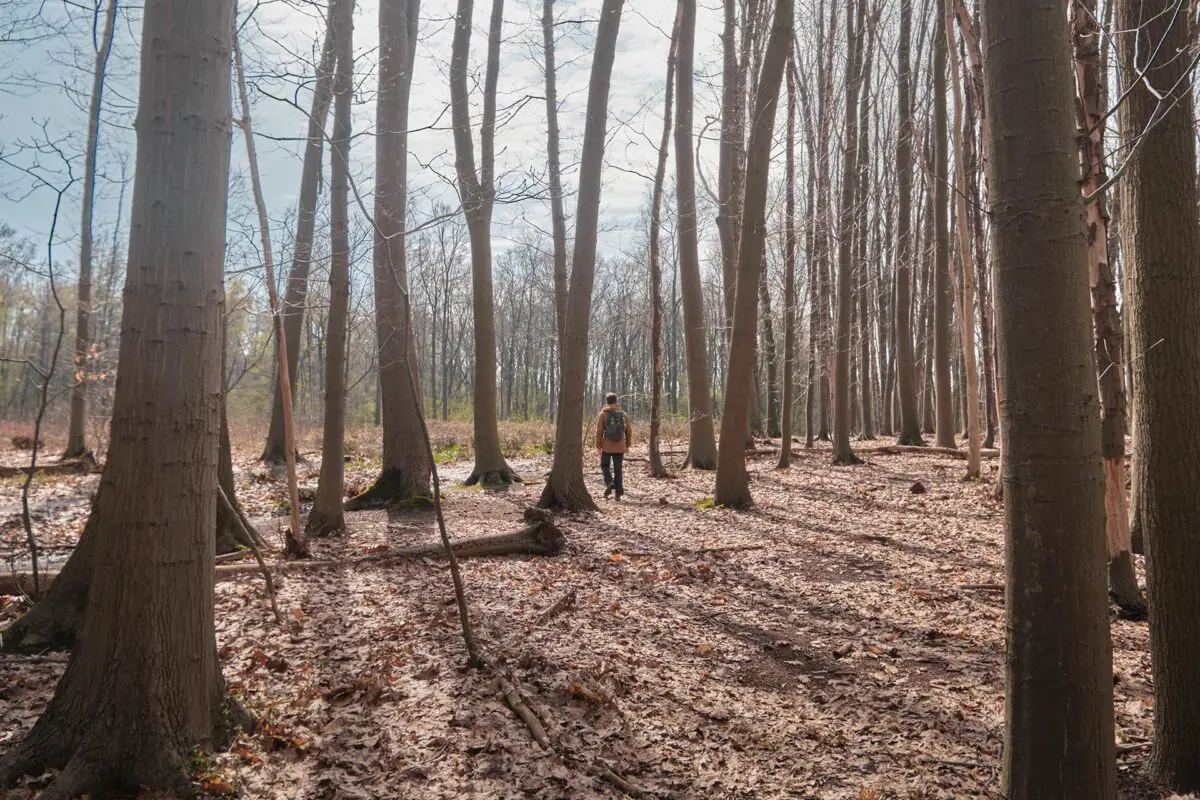
The ‘Streek-GR Groene Gordel’ is a 157-kilometer long-distance trail around the heart and capital of Europe (and Belgium), Brussels. This area with its small and picturesque villages, its lush green hills, and its farms, may be surprising to some when being so close to Brussels. However, the city is never far and the skyline of Brussels might lure behind a hill or around a corner.

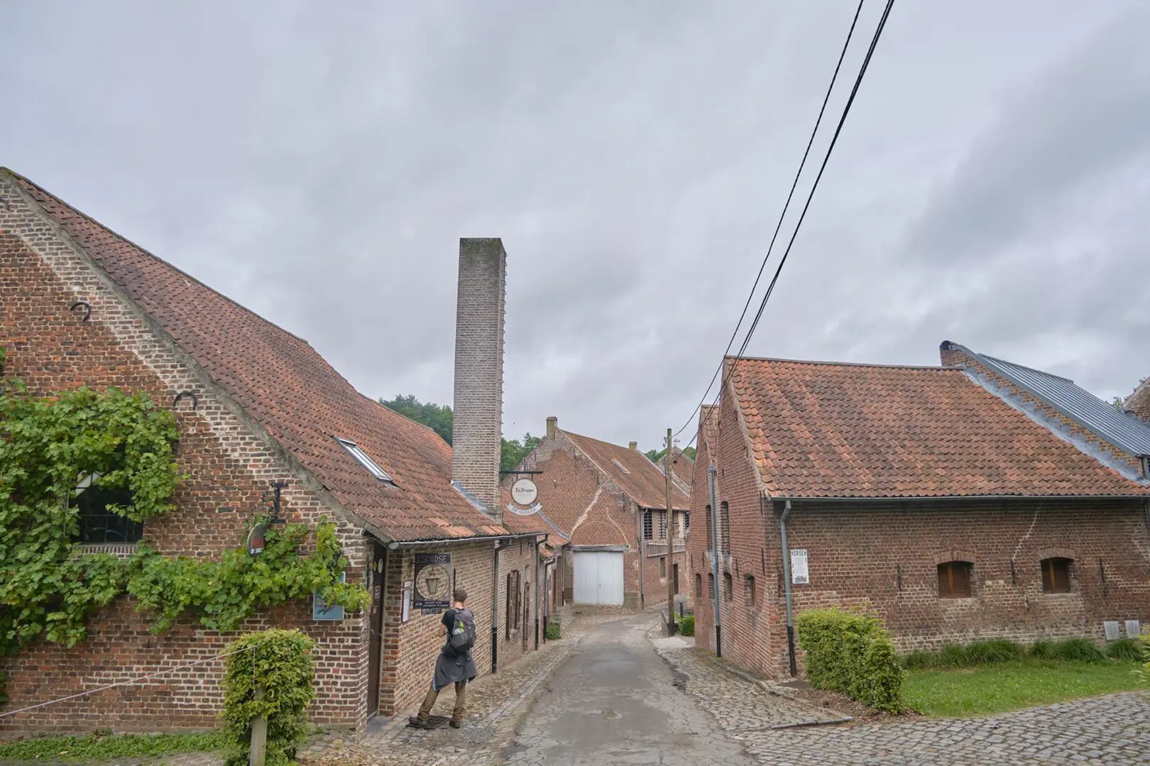
The trail starts in Halle but due to the circular shape, one can start anywhere they’d like. Halle is a small but very pleasant city to the East of Brussels and was a famous pilgrimage stop. Here, you can stock up on snacks and provisions for the trek that you may not find in the hotels and B&B’s where you’ll sleep.

Women holding hiking pasport
Author

Hanne Govaerts

Hanne Govaerts is a Belgian outdoors enthusiast. During the week she works a full-time office job but every moment of spare time she tends to spend outdoors, on trail. Her passion for hiking started at the early age of 16, when she impulsively went on a summer camp hiking the Wicklow Way in Ireland. Ever since, her holidays have been filled with hiking trips such as the Matterhorn Trek in Switzerland and the Kumano Kodo Nakahechi Route in Japan. Hanne’s main goal is to hike all the Belgian long-distance trails. With its +/- 10.000 kilometers of trails throughout the country, it’s a challenge that should not be taken lightly. You can follow her hiking adventures on her Instagram account @hannehikes.

View profile

The Trail

When departing from Halle, the trail quickly heads towards the Sonian Forest, one of the biggest forests in Flanders. The big trees and wide forest is a lust of the eye and one will find peace and tranquility here. The trail continues its adventure to Overijse and Tervuren. These are both located in ‘Druivenstreek’, a region that is mostly known for its grape cultivation.

Tervuren is a town full of history and one of the entryways to the Sonian Forest, one of the biggest forests in Flanders, and listed as Unesco World Heritage. After leaving Tervuren by crossing its beautiful park, the path will lead you over the hilltops. You might even spot a plane or two, three, four,… since the trail will walk parallel to the Brussels Airport.

The trail leads you through Eppegem and Grimbergen, known for its abbey and beer, before arriving at Meise. Here, the ‘Botanic Garden of Meise’ is a beautiful park that is more than 200 years old and has 92 hectares full of plants. The stars of the botanic garden are undoubtedly the castle located in the middle of the grounds and the ‘Plant Palace,’ one of the largest public greenhouse complexes in Europe. No need to say that these grounds most certainly deserve the visit of every nature-lover.

After taking in all the beautiful and diverse plant species in Meise, the trail heads further to Asse and Dilbeek. This area is filled with small, local breweries that are worth keeping an eye out for. After leaving Dilbeek the trail takes you further to Gaasbeek, where you can admire the beautiful castle, before finishing at Halle again.

Stages

Stage 1:

Halle – Groenendaal, 21.5km | 13.4 mi

Stage 2:

Groenendaal – Tervuren, 17.2 km | 10.7 mi

Stage 3:

Tervuren – Kortenberg, 18.4km | 11.4 mi

Stage 4:

Kortenberg – Grimbergen, 24.7 km | 15.3 mi

Stage 5:

Grimbergen – Asse, 18.8 km | 11.7 mi

Stage 6:

Asse – Tenberg, 18.5 km | 11.5 mi

Stage 7:

Tenberg – Gaasbeek, 22 km | 13.7 mi

Stage 8:

Gaasbeek – Halle, 16.9 km | 10.5 mi

Accommodations

There are plenty of accommodations along the Streek-GR Groene Gordel. However, since it is located close to a city, campsites are rare. Therefore this trail is not suitable to hike with a tent.

Due to the convenient location of the trail, one can also stay in the city center of Brussels during the full trek and use public transport daily to get to the stage.

Suggestions for lodging

Stage 1:

Hotel Groenendaal (on trail)

Stage 2:

Hotel Rastelli Tervuren (200m off trail)

Stage 3:

B&B Den Engel (1.4 km off trail)

Stage 4:

Thermae Grimbergen Hotel (130m off trail)

Stage 5:

La Chaumière (1.9km off trail)

Stage 6:

B&B Asbeek (350m off trail)

Stage 7:

Hotel Klein Nederlo (1.2km off trail)

Stage 8:

Les Eleveurs (on trail)

Best time of the year

Belgium has moderate temperatures year-round. Therefore this trail can be walked any time of year. During the winter, around December until February/March it can be cold and occasionally snowy. During the summer months, from June until September, the temperatures are higher. However, the weather can be unpredictable so one should always be prepared for rain.

Safety & Gear

The ‘Streek-GR Groene Gordel’ is located in a rather flat landscape, with here and there a small hill one will have to concur. The trail is not technically or physically demanding. That’s why it’s a perfect trail for beginners. However, do plan the stages to your fitness level. Wear comfortable hiking shoes and a good backpack to avoid any injuries.

The trail is marked in both directions and it’s never far from a village. But do bring your map or Topoguide and the official GPX file to make sure you don’t get lost in the woods when the waymarkings aren’t clear. In case of emergencies, it’s important to know your way back to the nearest village. Not all villages and nature reserves have cell phone service.

Good to know

Due to the accessibility of this trail, one can also hike the trail on day hikes. It is possible to use public transport to get to the starting and ending point, either from your home or from an accommodation in the city center of Brussels.

The new version of the guidebook will be renewed and released in 2024. Therefore the old guidebook isn’t sold anymore.

The trail passes lots of villages with plenty of water resources, so you don’t need to carry extra or filter along the way.

Route
Circuit
Highest point
130m (427 FT)

Want to submit a trail or make this page more complete?

Comments

Be the first one to comment on this trail!

Reply to this trail

Your email address will not be published. Required fields are marked *

Reply to this trail

Log in to comment on this trail
Always read the disclaimer

Terms of Use: important to all visitors on this website. We strive to publish high quality content and information on this website. However it’s always possible that we’re missing out on some crucial information. In spite of the fact that this route, associated GPS track (GPX and maps) were prepared under diligent research by the specified contributor and/or contributors, the accuracy of such and judgement of the author is not guaranteed. Therefore, hiking-trails.com and contributors are in no way liable for personal injury, damage to personal property, or any other such situation that might happen to individuals hiking or following this route. Should you choose to hike this trail, this is always at your own risk. Check out our guidelines for safety hiking and Leave No Trace principles at the hiking 101 page.

Download GPX

Join the community!

Login or create a FREE account 😊

With an account you can:

Download GPX files

Pin trails to your wishlist

Mark trails as hiked by you

Rate hiking trails

Comment on trails, blogs and gear reviews

Happy trails!
Login

Don't have an account yet? Register here