About the Streek GR Dijleland

country
Belgium
length
131 km(81 mi)
Type of trail
Long-distance
difficulty

Difficulty is highly personal. Be aware of the weather conditions as bad weather turns easier trails in difficult trails especially in the mountains.

Easy
accommodation

Lodging means a mix of hotels, hostels or AirBnB’s.

Lodging
Elevation gain
670 m(2198 ft)
terrain
Countryside, Flat
remoteness
Most of the time
Show more

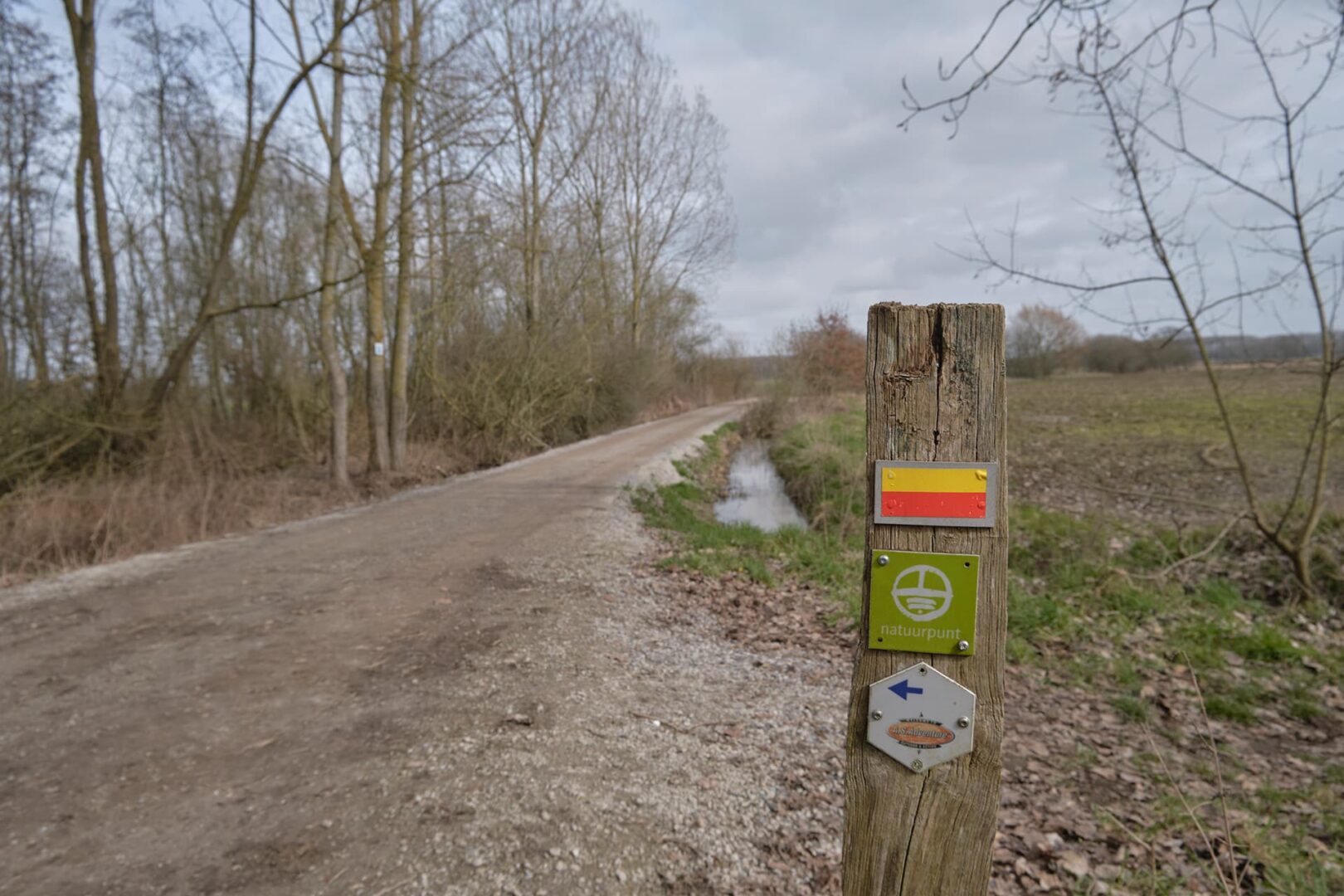
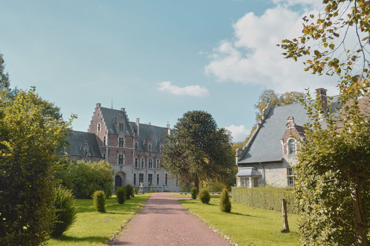
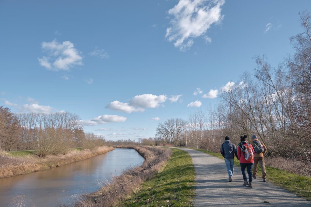
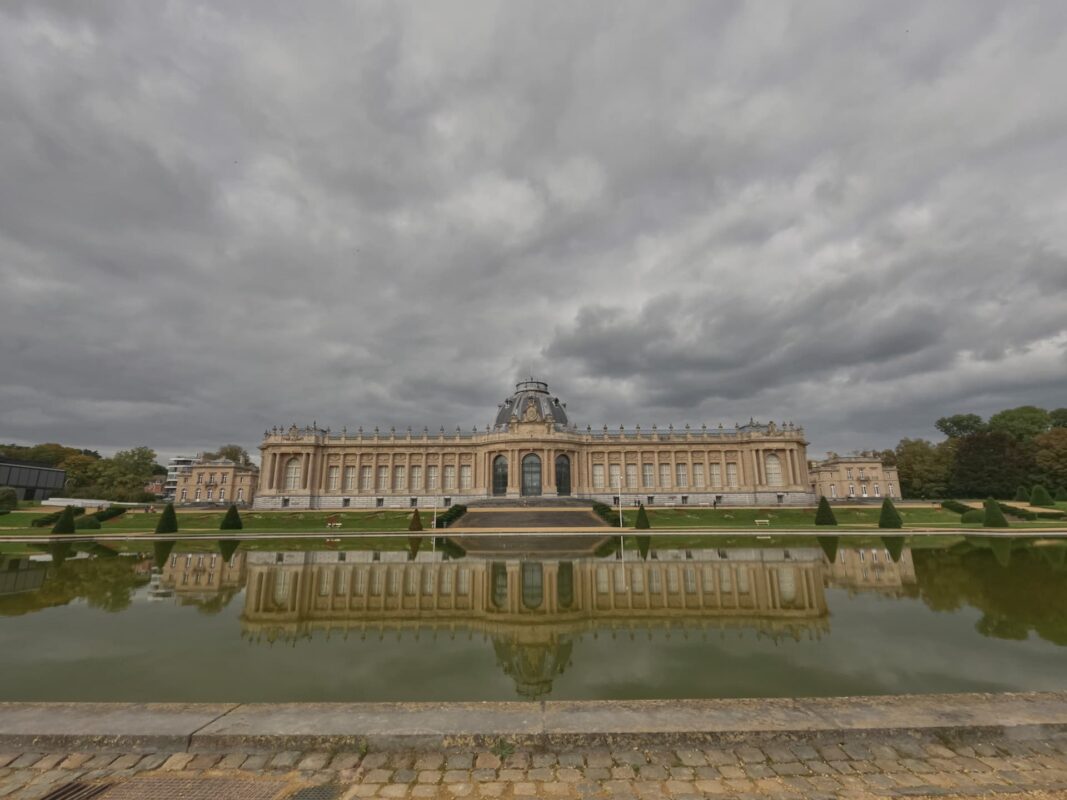
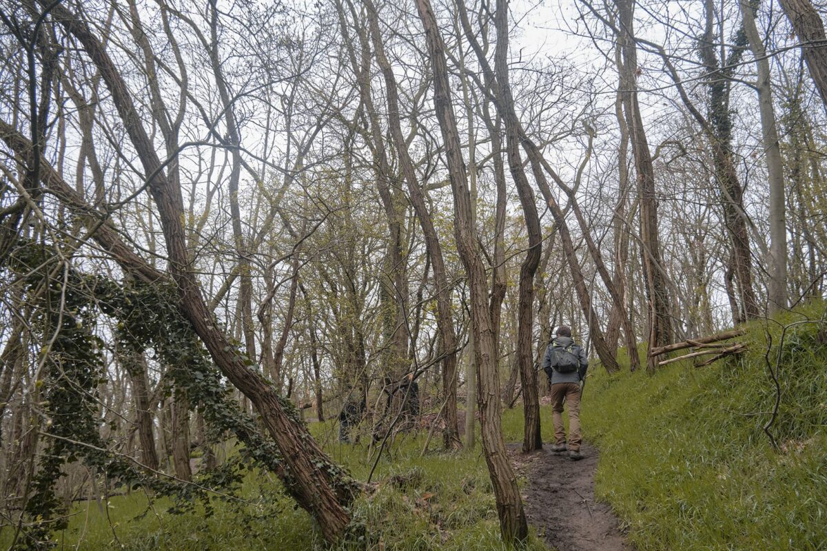
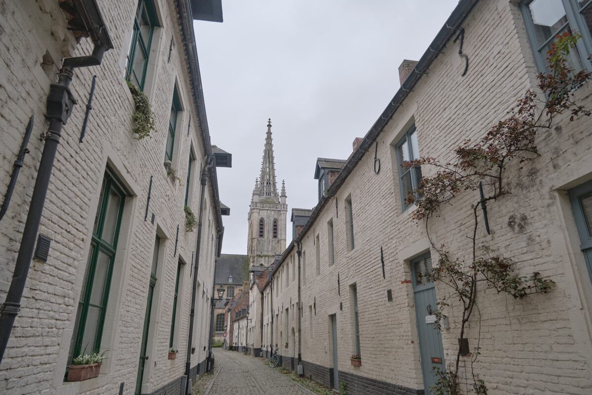
The ‘Streek-GR Dijleland,’ or, literally translated as, the ‘country of the Dijle’ is a special, circular route that connects the river ‘Dijle’ with the region, villages, and nature reserves surrounding it. The trek is located in the central part of Belgium and connects the two cities of Leuven and Mechelen. Officially, the trail starts in Leuven. However due to its circular shape, one can start the trail at any point.

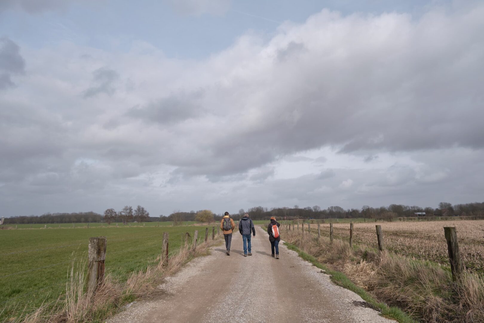
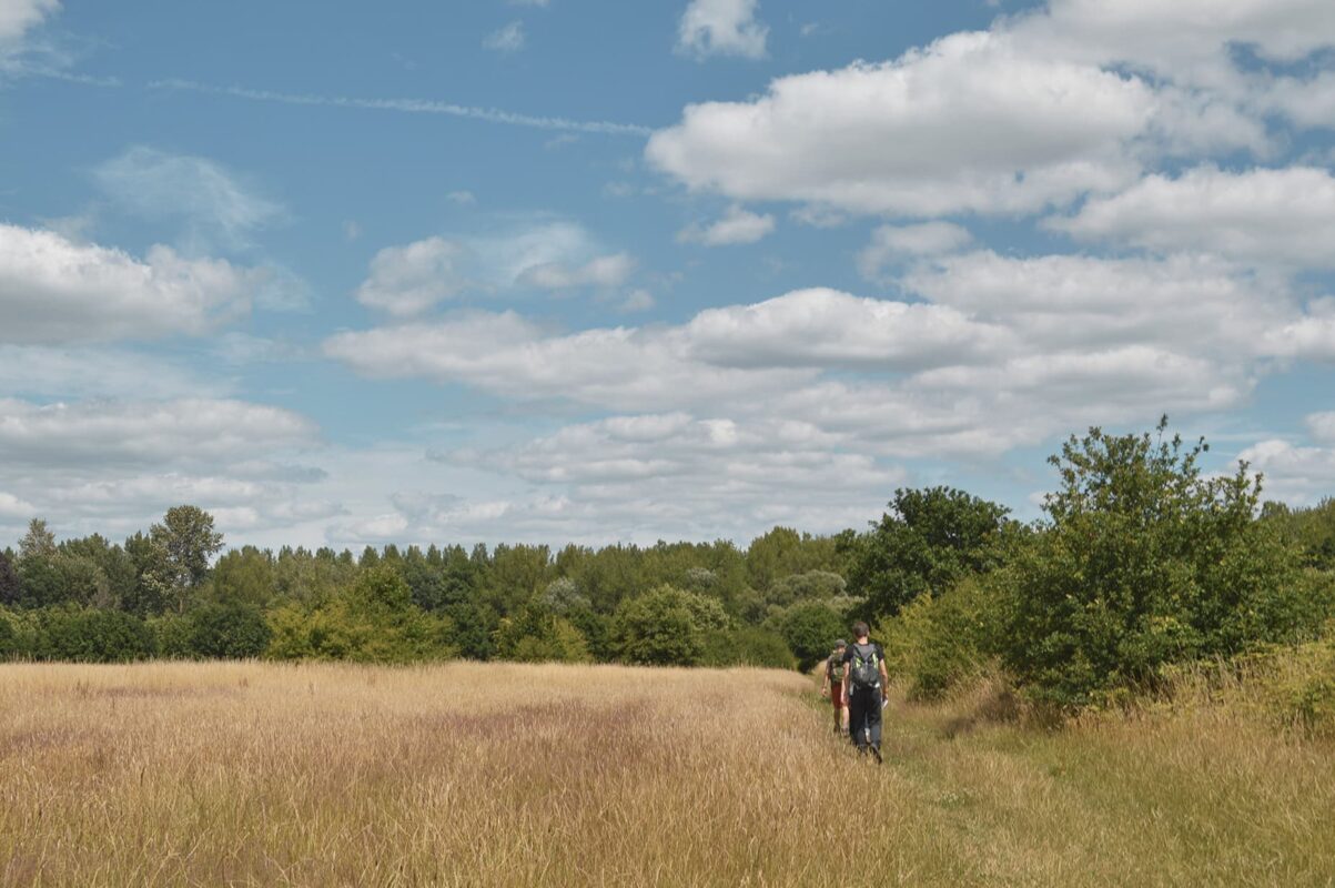
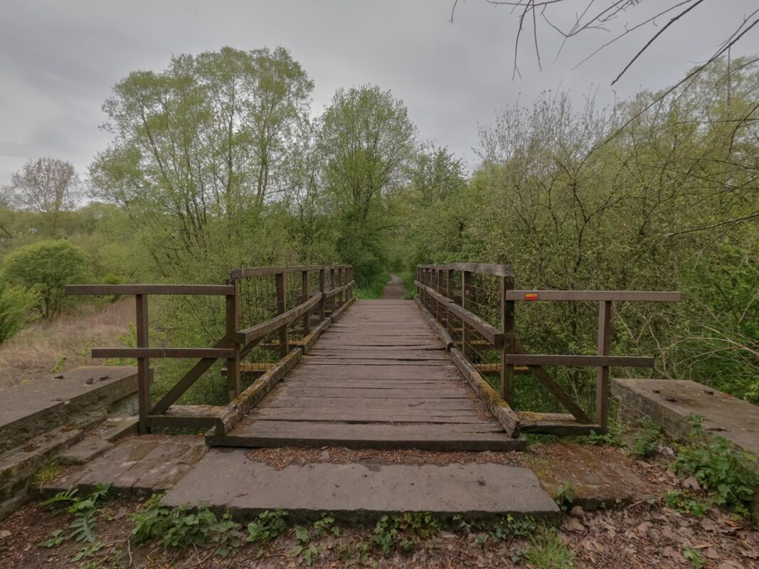
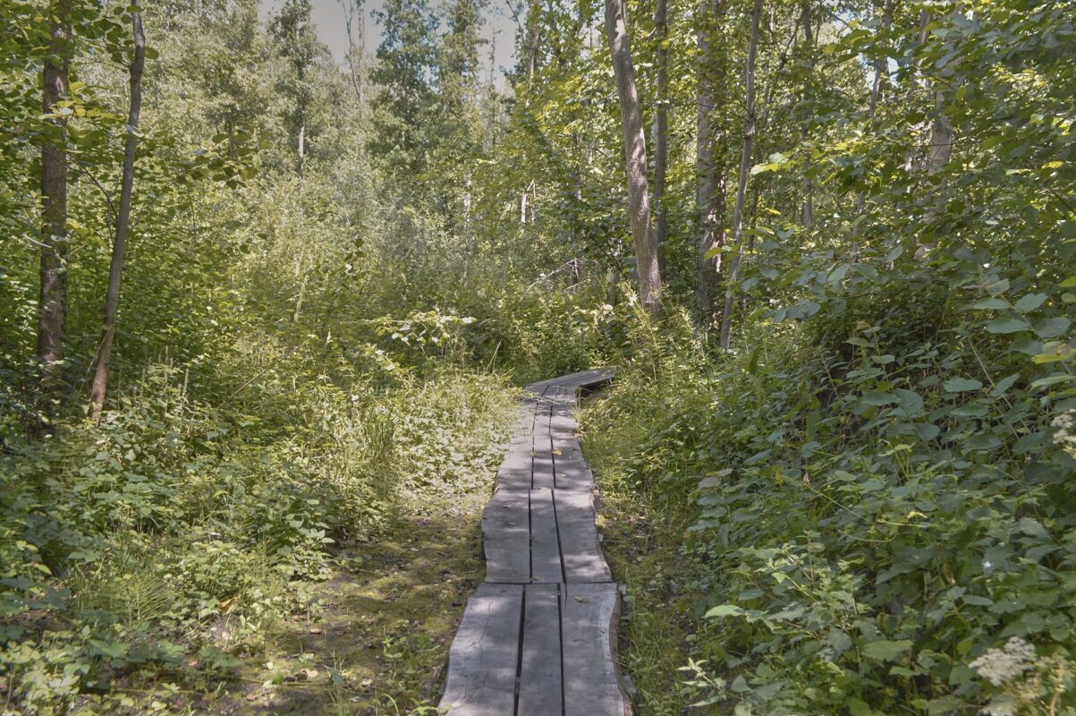
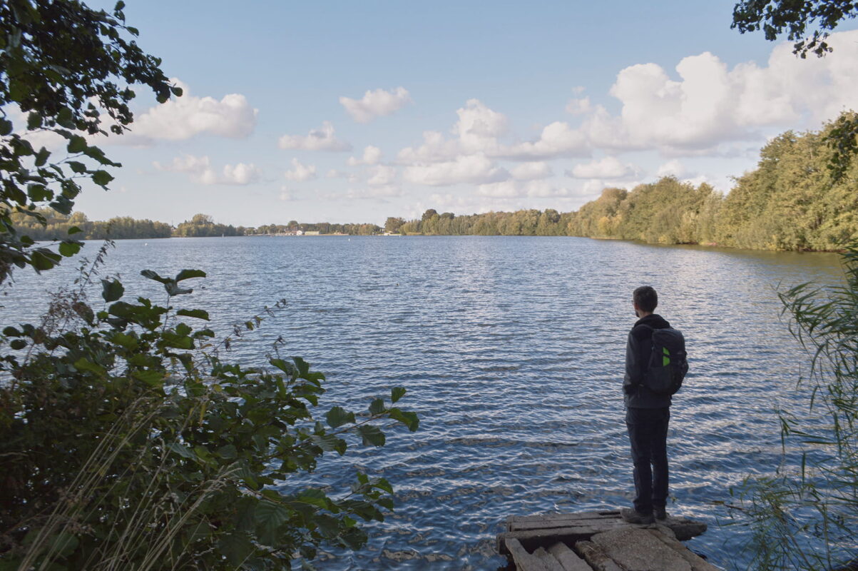
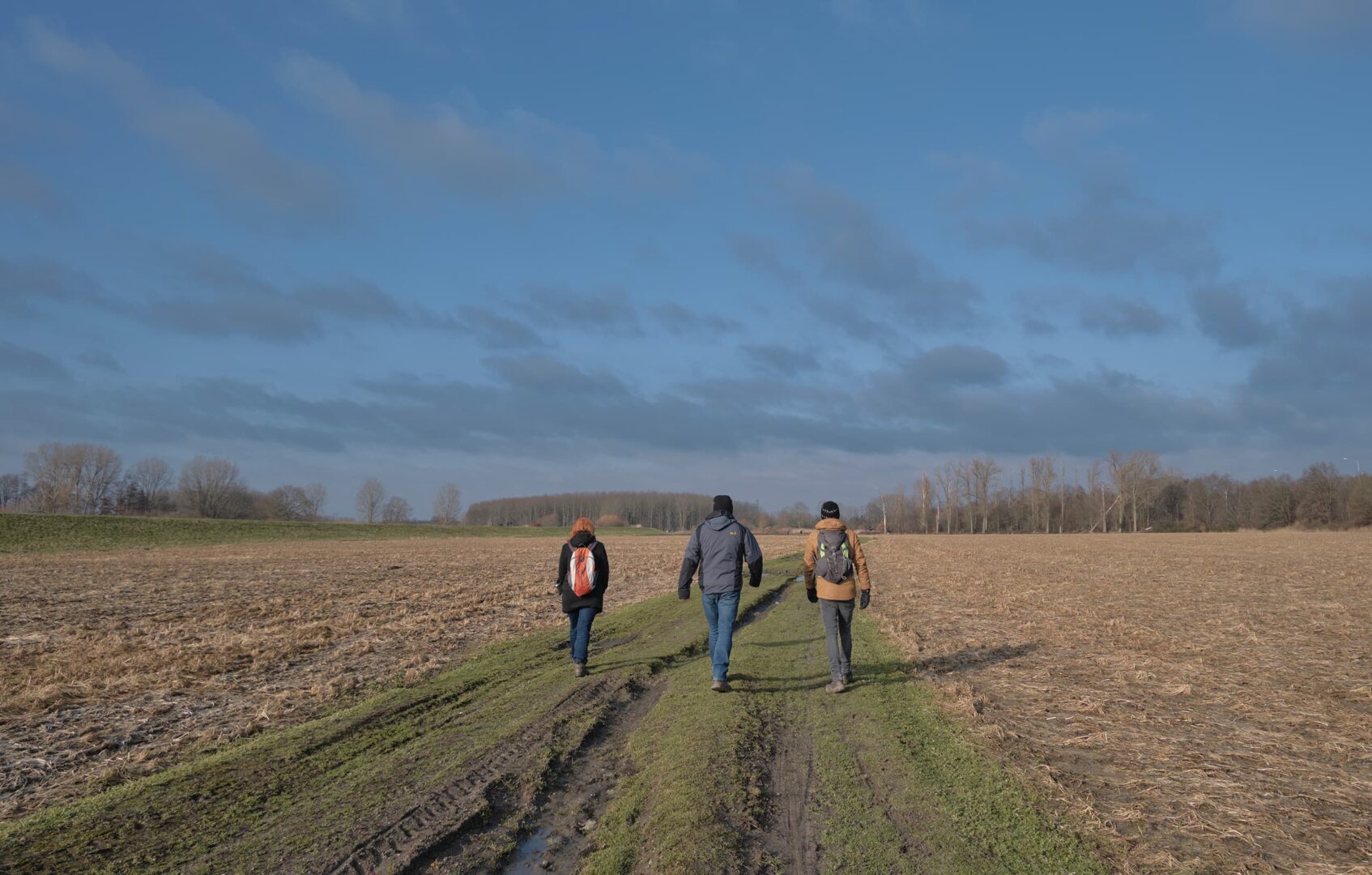
The Streek-GR Dijleland is known for its sweet escape into nature, seven stages of being immersed in the Belgian countryside. Close enough to Brussels, you won’t lose much time on trails and because it isn’t technically demanding, this can be the perfect way to spend a relaxing holiday. Stay in cozy B&B’s or hotels along the way to enjoy carrying a lighter pack, as well.

Women holding hiking pasport
Author

Hanne Govaerts

Hanne Govaerts is a Belgian outdoors enthusiast. During the week she works a full-time office job but every moment of spare time she tends to spend outdoors, on trail. Her passion for hiking started at the early age of 16, when she impulsively went on a summer camp hiking the Wicklow Way in Ireland. Ever since, her holidays have been filled with hiking trips such as the Matterhorn Trek in Switzerland and the Kumano Kodo Nakahechi Route in Japan. Hanne’s main goal is to hike all the Belgian long-distance trails. With its +/- 10.000 kilometers of trails throughout the country, it’s a challenge that should not be taken lightly. You can follow her hiking adventures on her Instagram account @hannehikes.

View profile

The Trail

Starting in Leuven, a picturesque city known for its university, the trail follows the river Dijle to the breathtaking Arenberg Castle, where a part of the University of Leuven is located. Not long after, the trail enters some beautiful nature reserves like ‘Doode Bemde’ and continues its adventure to Huldenberg and Tervuren. These are both located in ‘Druivenstreek’, a region that is mostly known for its grape cultivation.

Tervuren is a town full of history and one of the entryways to the Sonian Forest, one of the biggest forests in Flanders, and listed as UNESCO World Heritage. After leaving Tervuren by crossing its beautiful park, you will meet Bertem and its incredible Bertembos (Forest of Bertem). Both Bertem Bos and the Sonian Forest are part of the bigger National Park Brabantse Wouden. Heading further up north, you’ll get a glance at the impressive castle of the famous painter Rubens. Not too long after, the trail will guide you through the city center of Mechelen. A city that has the second highest heritage-protected buildings in Flanders and is known for its rich art-, brewery- and carillon culture. Mechelen is a very vivid city and is a popular city to live in for younger families.

Following the canal to Leuven out of the city, the trail stumbles across the Antitank Trench in Haacht, constructed in 1939 as part of the 80 km long defense line during World War 2. To this day, the trench is used as an artificial flooding area. With lots of species returning to the trenches, it is recognized as a true nature reserve.

Before ending the trek back in Leuven, one must encounter probably the steepest climb of this trek: the path up the Kesselberg, a mountain that is located right next to the city and that has a big archeological, geological, and ecological importance.

Stages

The Streek GR Dijleland is usually completed in 7 stages. Note that the first day is a half-day, making it easy to travel to the trailhead and begin the first stage on the same day.

Stage 1:

Leuven – St-Joris-Weert, 5.6 km | 3.5 mi

Stage 2:

St-Joris-Weert – Tervuren, 20.5 km | 12.7 mi

Stage 3:

Tervuren – Veltem, 19.1 km | 11.9 mi

Stage 4:

Veltem – Eppegem, 23.6 km | 14.7 mi

Stage 5:

Eppegem – Mechelen, 16.3 km | 10 mi

Stage 6:

Mechelen – Haacht, 16.7 km | 10.4 mi

Stage 7:

Haacht – Leuven, 19.8 km | 12.3 mi

Accommodations

The Streek-GR Dijleland is located in the central part of Belgium. Due to its convenient location, it is very easy to hike this trail in day hikes using public transportation. However, it is possible to also walk the trail using B&Bs and hotels. Camping is sadly enough difficult due to limited camping spots along the trail.

Suggestions for lodging

Stage 1:

B&B Baron’s House Neerijse (on trail)

Stage 2:

Hotel Rastelli Tervuren (200m off trail)

Stage 3:

AirBnB near Leuven (500m off trail)

Stage 4:

Logeerkamer XXL 100m off trail)

Stage 5:

3 Paardekens (400m off trail)

Stage 6:

Wanneshoeve (1.2 km off trail)

Stage 7:

Novotel Leuven Centrum (on trail)

Best time of the year

Belgium has moderate temperatures year-round. Therefore this trail can be walked any time of year. During the winter, around December until February/March it can be cold and occasionally snowy. During the summer months, from June until September, the temperatures are higher. However, the weather can be unpredictable so one should always be prepared for rain.

Safety & Gear

The ‘Streek-GR Dijleland’ is located in a rather flat landscape. The trail is not technically or physically demanding. That’s why it’s a perfect trail for beginners. However, do plan the stages to your fitness level. Wear comfortable hiking shoes and a good backpack to avoid any injuries.

The trail is marked in both directions and it’s never far from a village. But do bring your map or Topoguide and the official GPX file to make sure you don’t get lost in the woods when the waymarkings aren’t clear. In case of emergencies, it’s important to know your way back to the nearest village. Not all villages and nature reserves have cell phone service.

Good to know

Due to the accessibility of this trail, one can also hike the trail by day hikes. It is possible to use public transport to get to the starting and ending point. The official guidebook also advises 3 circular routes using parts of this trail. This way everyone can plan the Streek-GR Dijleland to their liking.

For water, the trail passes lots of villages with plenty of water resources, so you won’t need to carry large amounts or filter as you hike.

Route
Circuit
Highest point
100m (328 ft)

Want to submit a trail or make this page more complete?

Comments

Be the first one to comment on this trail!

Reply to this trail

Your email address will not be published. Required fields are marked *

Reply to this trail

Log in to comment on this trail
Always read the disclaimer

Terms of Use: important to all visitors on this website. We strive to publish high quality content and information on this website. However it’s always possible that we’re missing out on some crucial information. In spite of the fact that this route, associated GPS track (GPX and maps) were prepared under diligent research by the specified contributor and/or contributors, the accuracy of such and judgement of the author is not guaranteed. Therefore, hiking-trails.com and contributors are in no way liable for personal injury, damage to personal property, or any other such situation that might happen to individuals hiking or following this route. Should you choose to hike this trail, this is always at your own risk. Check out our guidelines for safety hiking and Leave No Trace principles at the hiking 101 page.

Download GPX

Join the community!

Login or create a FREE account 😊

With an account you can:

Download GPX files

Pin trails to your wishlist

Mark trails as hiked by you

Rate hiking trails

Comment on trails, blogs and gear reviews

Happy trails!
Login

Don't have an account yet? Register here