mountain lake in Switzerland towards the Bella Tola top

St-Luc to the top of the Bella-Tola

About the St-Luc to the top of the Bella-Tola

Alps
country
Switzerland
length
12 km(7 mi)
Type of trail
Day hike
difficulty

Difficulty is highly personal. Be aware of the weather conditions as bad weather turns easier trails in difficult trails especially in the mountains.

Moderate
accommodation

Lodging means a mix of hotels, hostels or AirBnB’s.

Mountain huts, Lodging
Elevation gain
1542 m(5059 ft)
terrain
Mountains
remoteness
Most of the time
Show more

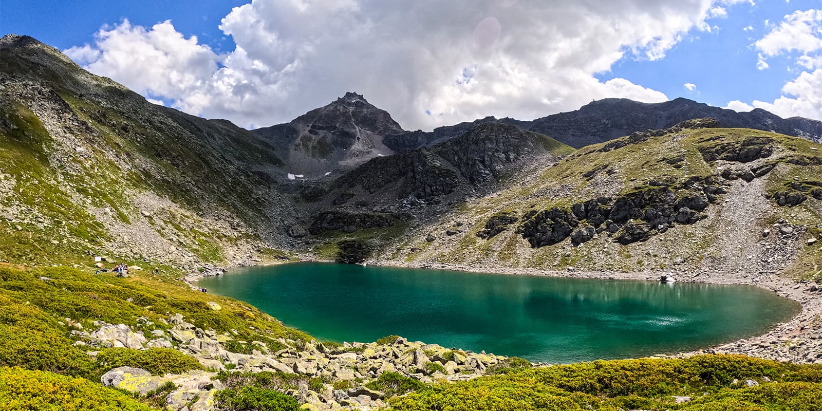
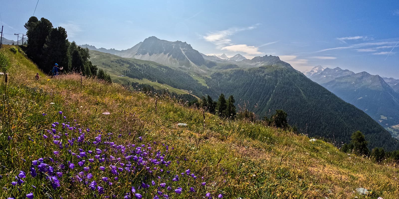
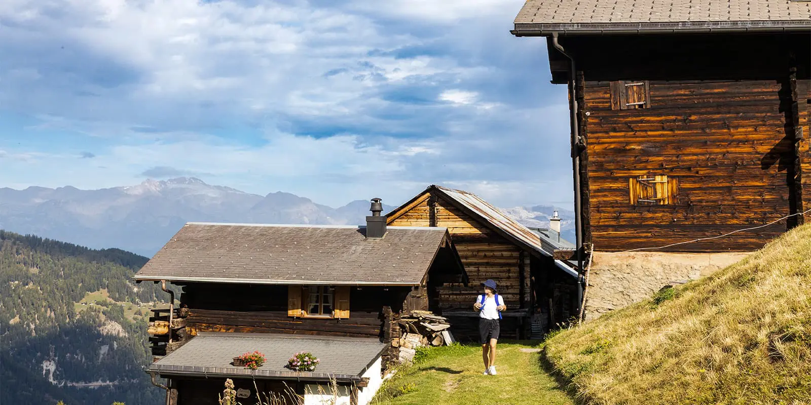
The climb from St-Luc to the top of Bella-Tola is one of the best ways to experience the iconic peak of the Val d’Anniviers. During the rise of summer mountaineering in the 19th century, it quickly became a popular destination thanks to its easy access and breathtaking panorama over the iconic peaks of Valais.

Needless to say, the view from the summit will leave you in awe. This trail is completed as a day hike, a great way to see the beauty of the region from up high.

women in blue smiling at camera
Editor

Katie Mitchell

After a whirlwind of 8 years on the road (and trail!), Katie has hiked the Camino Frances, the Peaks of the Balkans, the Fisherman’s Trail, and extensively in the United States. She is an avid trail runner and now lives in Colorado where she plays in the mountains in her free time. You can follow her adventures on Instagram.

View profile

The Trail

Start in the center of the village of St-Luc, next to the church, and take the Chemin de Prosper. Follow the signs directing you to Tignousa. When you arrive at Tignousa, follow the signs directing you to the Cabane Bella-Tola. The Cabane Bella-Tola is a nice stop to eat or simply have a drink with a view of the surrounding summits.

Then, you’ll cross the routes of the Tignousa and Col des Ombrintzes drag lifts. After hiking through the pastures and zig-zagging up the mountainside, you will reach the mountain refuge and the summit ridge; and when you take your eyes off the path, you will see steeply plunging slopes on both sides. The walk continues to the left along the ridge path, towards the Phare de Griolet, on the summit of Rothorn. There is a panoramic 360° view from there of all the peaks. You then retrace your steps to reach the “real” summit of Bella-Tola, from where you have a view of more than thirty peaks that exceed 4000m.

If you want to extend your trail, you can come back on the same trail to the Bella-Tola Lake, from there, take the path on your right and follow the “Sentier des lacs” which will bring you back to Tignousa. You’ll encounter mountain lakes with breathtaking views.

Accommodations

St-Luc has quite a few lodging options, and below are a few recommendations. You can opt for everything from a grand hotel to the more modest cabane, and have a great time in either! If you decide to sleep in the Cabane Bella-Tola, you’ll need to book it far in advance to reserve your bed space, as the mountain huts can fill up quite early in the season.

Accommodation in St. Luc:

Best time of the year

This trail is accessible from May to October. Because of this, you’ll have lots of options for when to hike it. Be aware that early in the season, there may still be snowbanks and you may need to bring micro-spikes for the trail. The trail is also very beautiful in the autumn when you can see the leaves turning colors.

Safety & Gear

For your hike from St-Luc to the top of the Bella-Tola, you’ll want to pack properly and train well to have a good time. Packing for a day hike is nice because your pack can remain relatively light, as you’ll only need to bring the necessities. This means layers, a comfortable pair of shoes, and lots of snacks and water to keep you hydrated and your energy up.

Additionally, you may want to bring hiking poles and a hat for the sun. The peak can be quite windy, so an extra layer for when you get to the top will feel good as well. Finally, make sure you download the trail GPX offline to your device for backup.

Difficulty

The hike from St-Luc to the top of Bella-Tola is rated as a moderate hike because of the elevation you’ll climb in one day. However, training for this hike will prepare you for the challenge! Try taking day hikes at home with a full pack, favoring hiking on uneven surfaces. Or, you can pick up running or spend time on the stairmaster machine. All of these will help you build muscle, endurance, and patience (especially in the case of the stairmaster!).

Good to know

There is a restaurant at the arrival of the Funicular, at Tignousa where you can stop for a drink or eat something. Further, the Cabane Bella-Tola also offers drinks and food. These are great options for a break as you hike!

route
There-and-back
highest point
3.025m (9.925 ft)

Want to submit a trail or make this page more complete?

Always read the disclaimer

Terms of Use: important to all visitors on this website. We strive to publish high quality content and information on this website. However it’s always possible that we’re missing out on some crucial information. In spite of the fact that this route, associated GPS track (GPX and maps) were prepared under diligent research by the specified contributor and/or contributors, the accuracy of such and judgement of the author is not guaranteed. Therefore, hiking-trails.com and contributors are in no way liable for personal injury, damage to personal property, or any other such situation that might happen to individuals hiking or following this route. Should you choose to hike this trail, this is always at your own risk. Check out our guidelines for safety hiking and Leave No Trace principles at the hiking 101 page.

Download GPX

Join the community!

Login or create a FREE account 😊

With an account you can:

Download GPX files

Pin trails to your wishlist

Mark trails as hiked by you

Rate hiking trails

Comment on trails, blogs and gear reviews

Happy trails!
Login

Don't have an account yet? Register here