set of green hills in the distance during sunset in the German alps

Skywalker Route

Himmelsstürmer Route

About the Skywalker Route

Alps
country
Germany
length
433 km(269 mi)
Type of trail
Long-distance
difficulty

Difficulty is highly personal. Be aware of the weather conditions as bad weather turns easier trails in difficult trails especially in the mountains.

Difficult
accommodation

Lodging means a mix of hotels, hostels or AirBnB’s.

Lodging, Mountain huts
Elevation gain
17980 m(58990 ft)
terrain
Mountains, Forest
remoteness
Some of the time
Show more

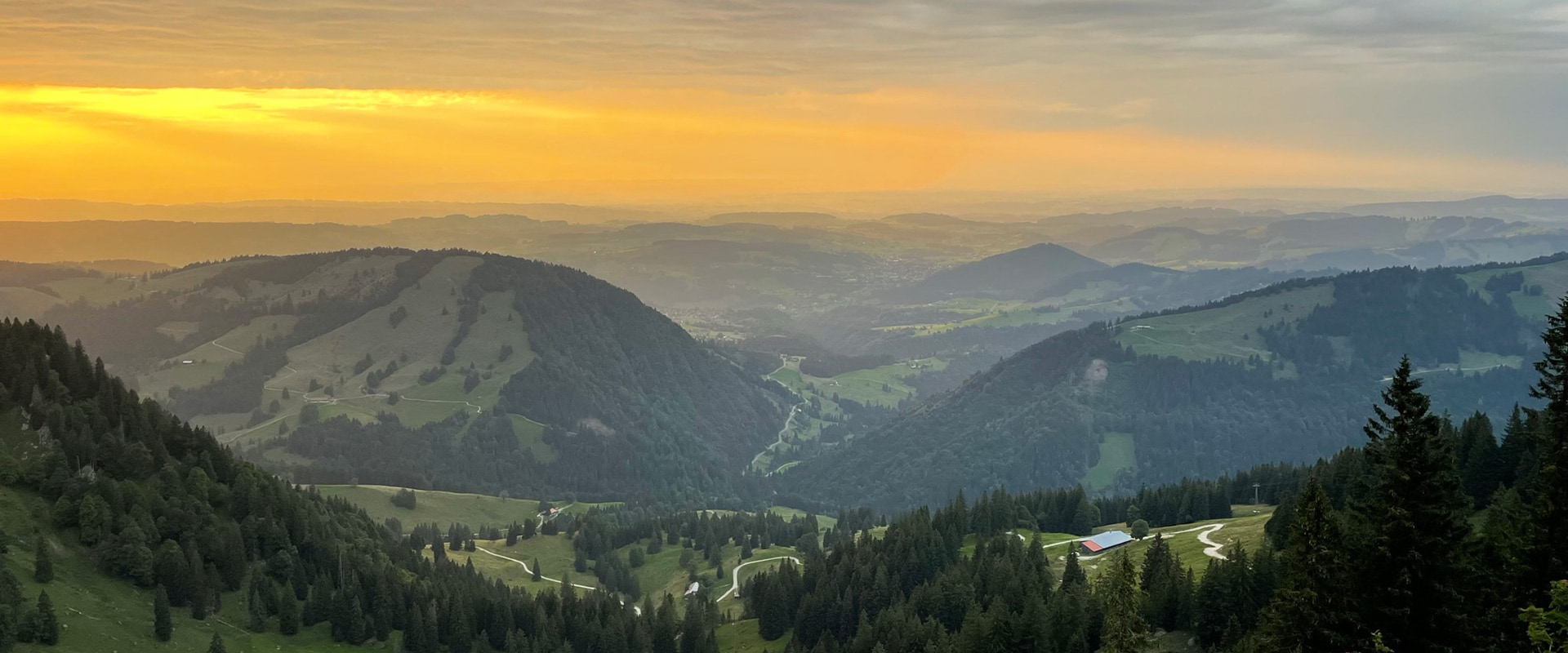
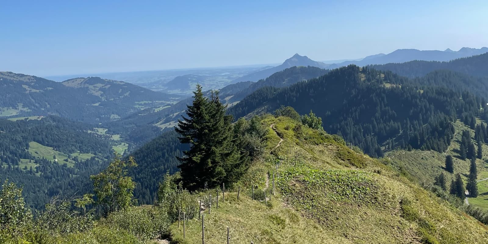
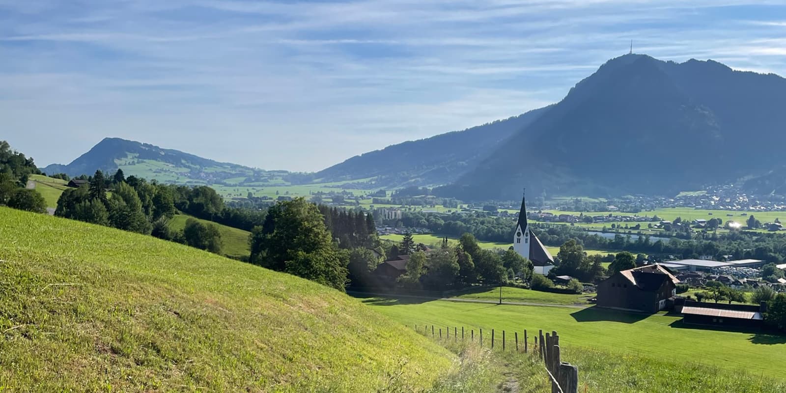
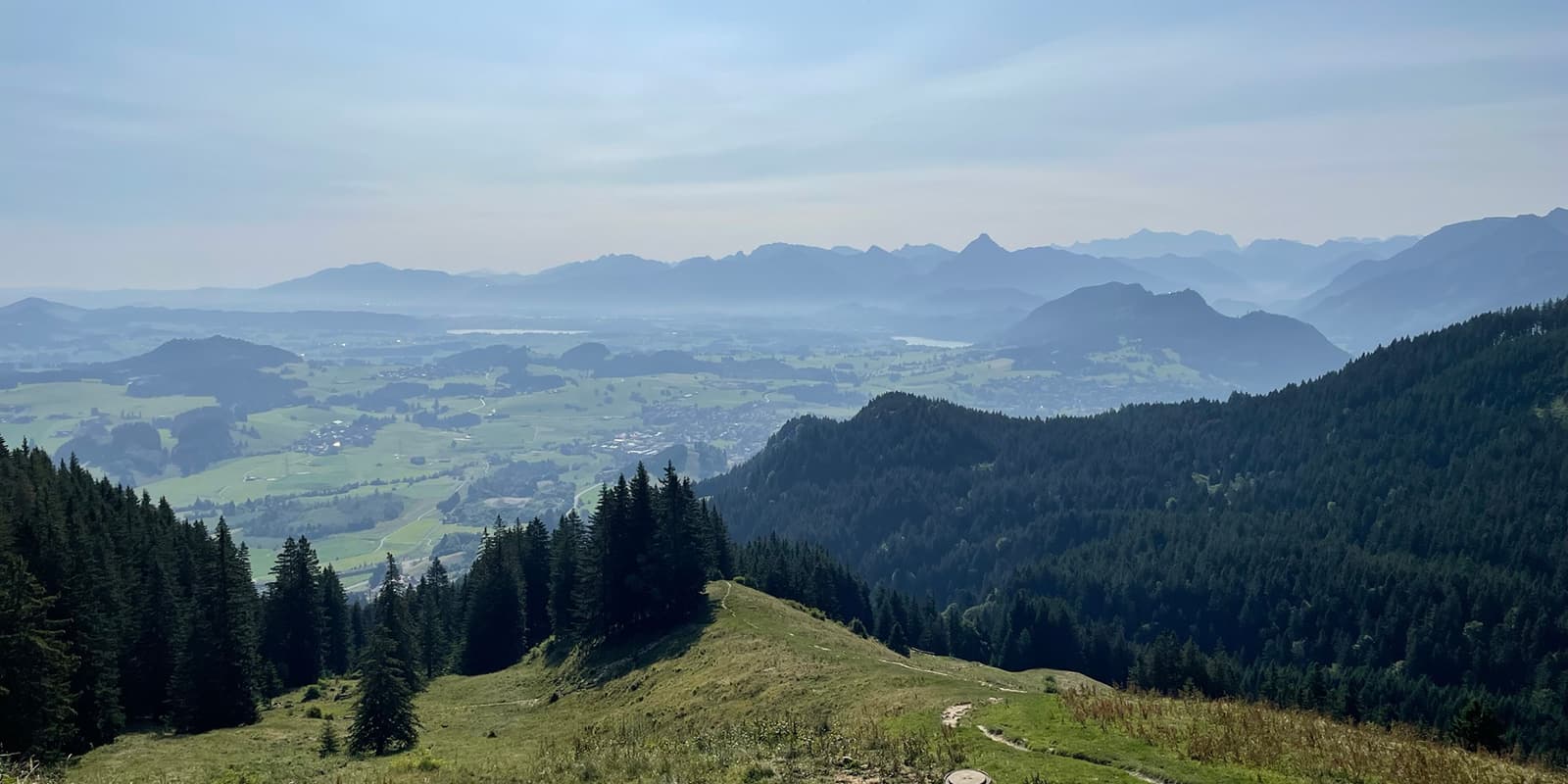
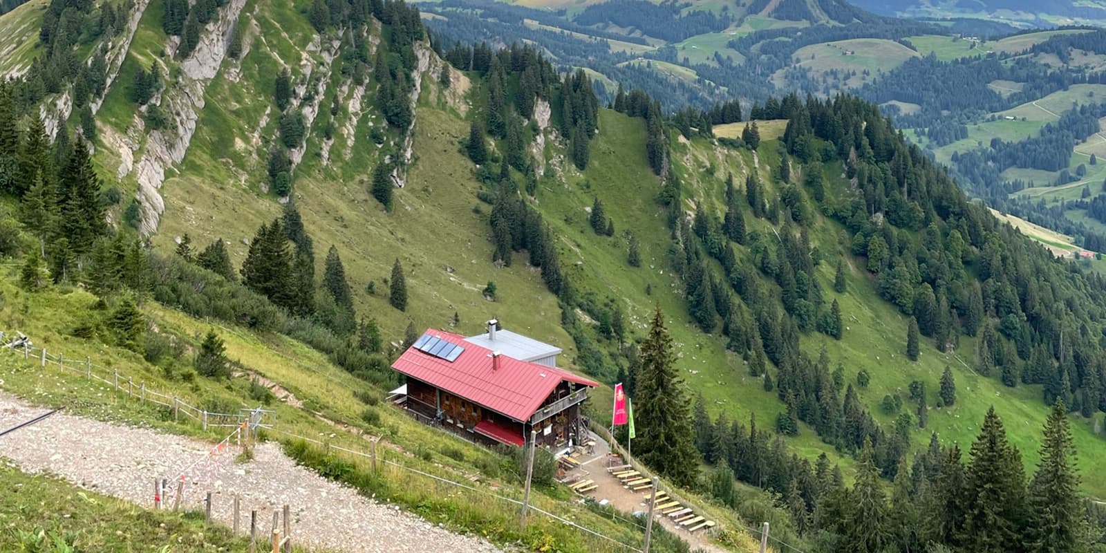
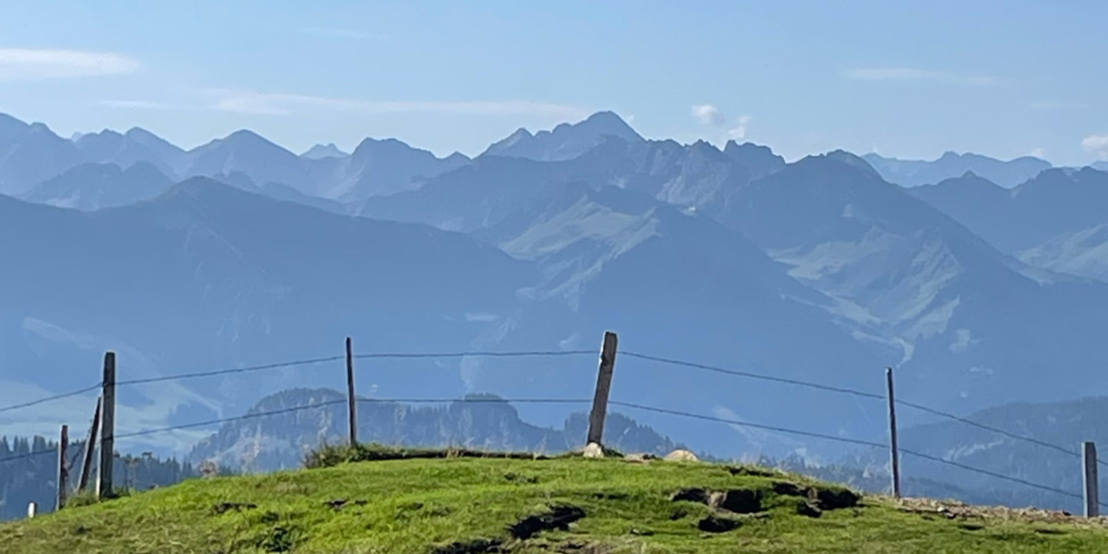
The Skywalkers Route takes you through unique nature reserves such as the Allgäu High Alps and the Nagelfluhkette Nature Park with its rare plant and animal species. With a bit of luck, you might even spot an ibex or an eagle. In a cultural landscape shaped by alpine farming, you can also enjoy the culinary delights of a mountain hut – with delicious mountain cheese for a snack.

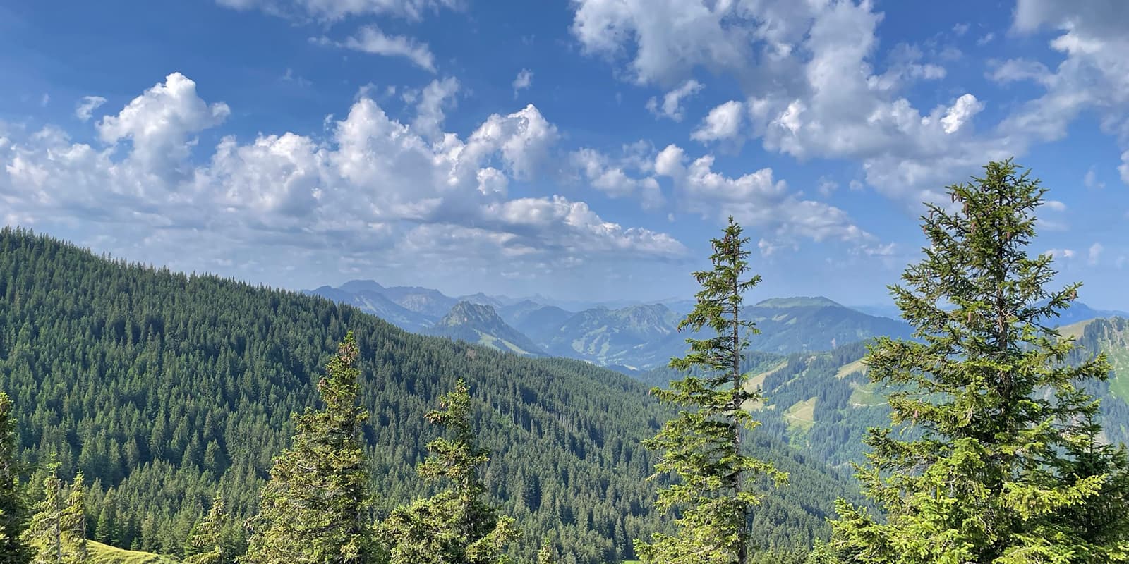
This trail is a part of the hiking trilogy Allgäu, a network of trails in southern Germany. It has three “themed” routes: the Wiesengänger (meadow walker), Wasserläufer (water runner), and Himmelsstürmer (skywalker). Each path shows the landscapes of the Allgäu region, from meadows and lakes to challenging mountain ascents. The trilogy is designed for all levels of hikers, and is a nice blend of culture and nature.

Andreas Scholz profile picture
Author

Andreas Scholz

Andreas Scholz was born in a small Swabian village in Germany. It wasn’t until the age of 35 that he began to discover the big wide world, and since then he has been traveling the most diverse long-distance hiking trails in Germany.

You can follow Andi on Instagram @startthetrail.wanderblog

View profile

The Trail

The Skywalker Route starts in Halblech and first explores the Ammergebirge, where you can spend an unforgettable evening in the high mountains at the rustic and cozy Kenzenhütte. Now you have to climb over the Gabelschrofen saddle to the Tegelberg, where you can spend the night at the Tegelberghaus with its stunning views of the foothills Alps and the Schwangau.

From Tegelberg mountain, you descend over 1,200 meters in altitude past the Marienbrücke bridge with a fantastic view of Neuschwanstein Castle into the valley to Füssen. On the way to Pfronten over the Zirngrat ridge, you can explore the Falkenstein ruins at 1,200m, before crossing the Alpspitze (1.575m) through a wild gorge and past the Grüntesee lake to Oy-Mittelberg.

Now you climb the Grünten (1,738m) – the guardian of the Allgäu – and hike through Burgberg and Sonsthofen to the Alpe Gund, where you can spend another night in the tranquillity of the high mountains at 1,500m.

From Oberstaufen, the route passes the photogenic Buchenegg waterfalls, Hochgrat (1,834m), and Girenkopf (1,683m) to Balderschwang. The next stage takes you over five peaks (1,388 – 1,783m) to Ofterschwang and further to Fischen. A more leisurely stage follows along the River Iller to the popular resort of Oberstdorf.

You will now walk through the Oytal valley and up to the Nebelhorn (2,224 m). After spending the night at the Edmund-Probst-Haus, the trail descends past the Engeratsgundsee lake to Bad Hindelang. The route then crosses into Austria into the Tannheimer Tal, which is traversed entirely via Schattwald, Tannheim, and Grän.

After the Kissinger Hütte and the Aggenstein (1,986m) comes the Breitenberghütte. The final descent is down to Pfronten, where the Skywalker route ends.

Stages

There are 24 official stages of the route, with high-route variations for many of the stages and an alternative option for the last stage when you arrive at Pfronten. You can find the full list of stages and their variations here.

Accommodations

There are many restaurants, hotels, inns, guesthouses, and private rooms in all price categories along the way, and these can be found at tourist information centers. German cuisine is a must, with classics such as Zwiebelrostbraten, Kaiserschmarrn, and Käsespätzle. Some accommodation providers even offer a pick-up and delivery service for longer stays.

On some of the stages you will be able to spend the night in a remote, serviced mountain hut, although these should be booked in advance:


Best time of the year

The best time of the year to hike the Skywalker route is undoubtedly in summer and early fall. As you’re hiking in the mountains be aware that there might be snowfields in early summer and there might be early snowfalls in autumn. Generally, the hiking season in the European Alps is limited to the summer months when the weather is milder and the snow has melted, making the trails accessible.

Keep in mind that the weather in the high mountains can change rapidly, and it’s essential to be prepared for various conditions, including sudden rain or snow showers. Always check trail conditions, and local weather forecasts before embarking on a high-alpine hike. Additionally, consider your hiking experience and skill level, as some trails in the Allgäuer Alps can be challenging and require proper equipment and experience.

Safety & Gear

There are no region-specific warnings to be aware of, but you’ll still want to follow basic hiking safety tips while out there.

Familiarize yourself with the trail and carry navigation tools such as a compass or GPS device to avoid getting lost.

Invest in the right hiking gear, including comfortable, supportive footwear, proper hiking clothing, such as warm base layers and a hardshell rain jacket, hiking poles, a well-fitted backpack, and essential equipment like maps, GPS devices (when needed), and a first-aid kit. Check out our comprehensive gear list for long-distance trails like this.

Respect the principles of Leave No Trace by minimizing your impact on the environment. Stick to designated trails, pack out all trash, and show respect for wildlife and natural habitats.

Good to know

Halblech & Pfronten are accessible by public transport. In addition, many stage towns are connected to a functioning rail or bus network. However, smaller towns are served less frequently or not at all, especially at weekends and on public holidays. Up-to-the-minute information can be found on the Deutsche Bahn app (DB Navigator).

With over 16 million overnight stays, the Allgäu is a tourist region, so there should be a good choice of hotels and restaurants in many towns during the holiday periods. However, it is advisable to book accommodation well in advance during peak holiday periods.

Route
POINT TO POINT
Highest point
2.224m (7.297 ft)

Want to submit a trail or make this page more complete?

Comments

Be the first one to comment on this trail!

Reply to this trail

Your email address will not be published. Required fields are marked *

Reply to this trail

Log in to comment on this trail
Always read the disclaimer

Terms of Use: important to all visitors on this website. We strive to publish high quality content and information on this website. However it’s always possible that we’re missing out on some crucial information. In spite of the fact that this route, associated GPS track (GPX and maps) were prepared under diligent research by the specified contributor and/or contributors, the accuracy of such and judgement of the author is not guaranteed. Therefore, hiking-trails.com and contributors are in no way liable for personal injury, damage to personal property, or any other such situation that might happen to individuals hiking or following this route. Should you choose to hike this trail, this is always at your own risk. Check out our guidelines for safety hiking and Leave No Trace principles at the hiking 101 page.

Download GPX

Join the community!

Login or create a FREE account 😊

With an account you can:

Download GPX files

Pin trails to your wishlist

Mark trails as hiked by you

Rate hiking trails

Comment on trails, blogs and gear reviews

Happy trails!
Login

Don't have an account yet? Register here