About the Skåneleden Trail

country
Sweden
length
1400 km(870 mi)
Type of trail
Long-distance
difficulty

Difficulty is highly personal. Be aware of the weather conditions as bad weather turns easier trails in difficult trails especially in the mountains.

Easy
accommodation

Lodging means a mix of hotels, hostels or AirBnB’s.

Wild camping, Shelters
Elevation gain
5000 m(16404 ft)
terrain
Forest, Countryside, Hills
remoteness
Most of the time
Show more

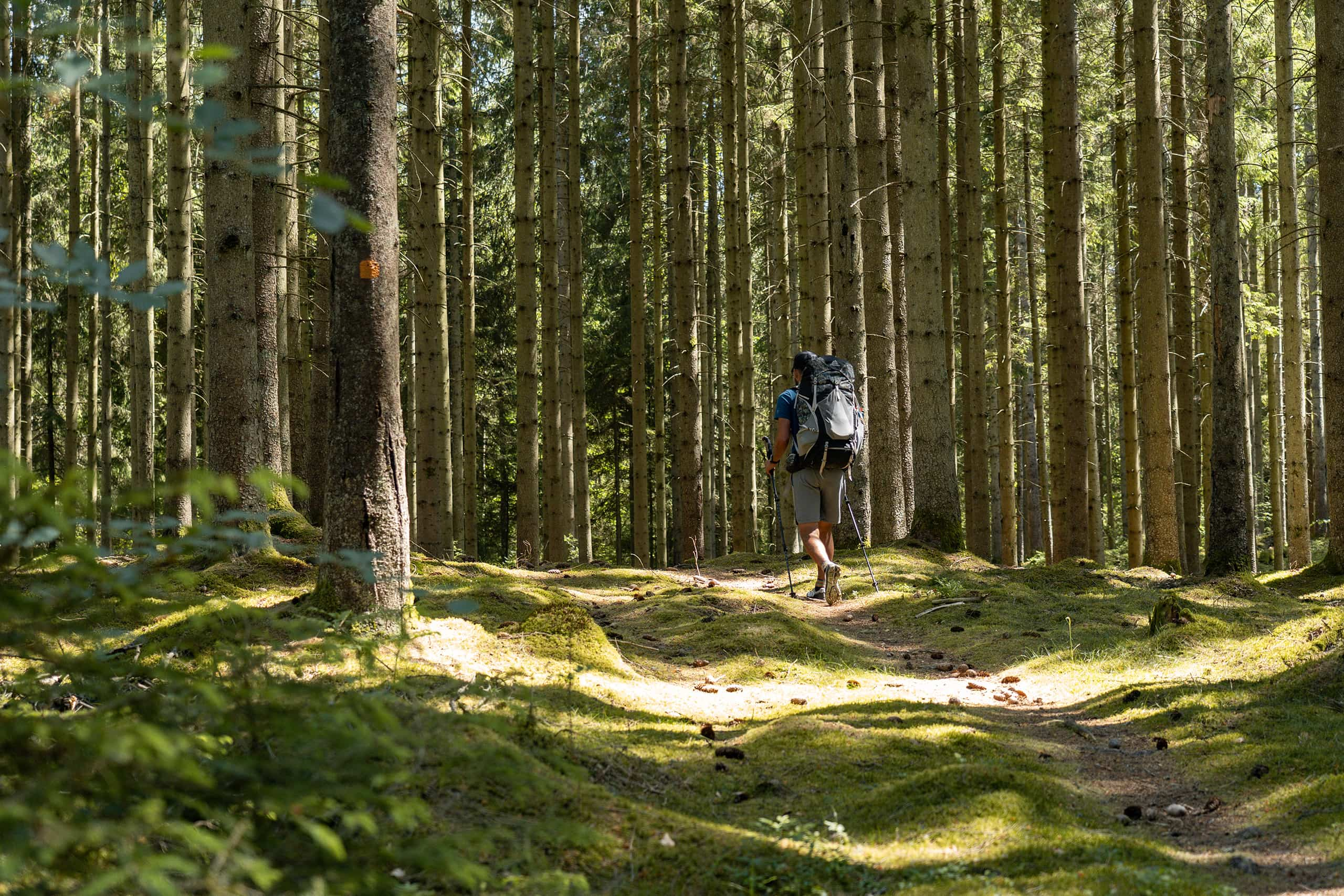
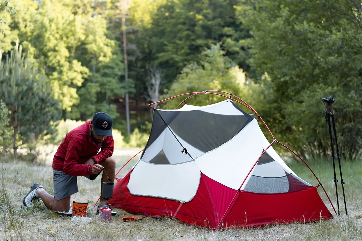
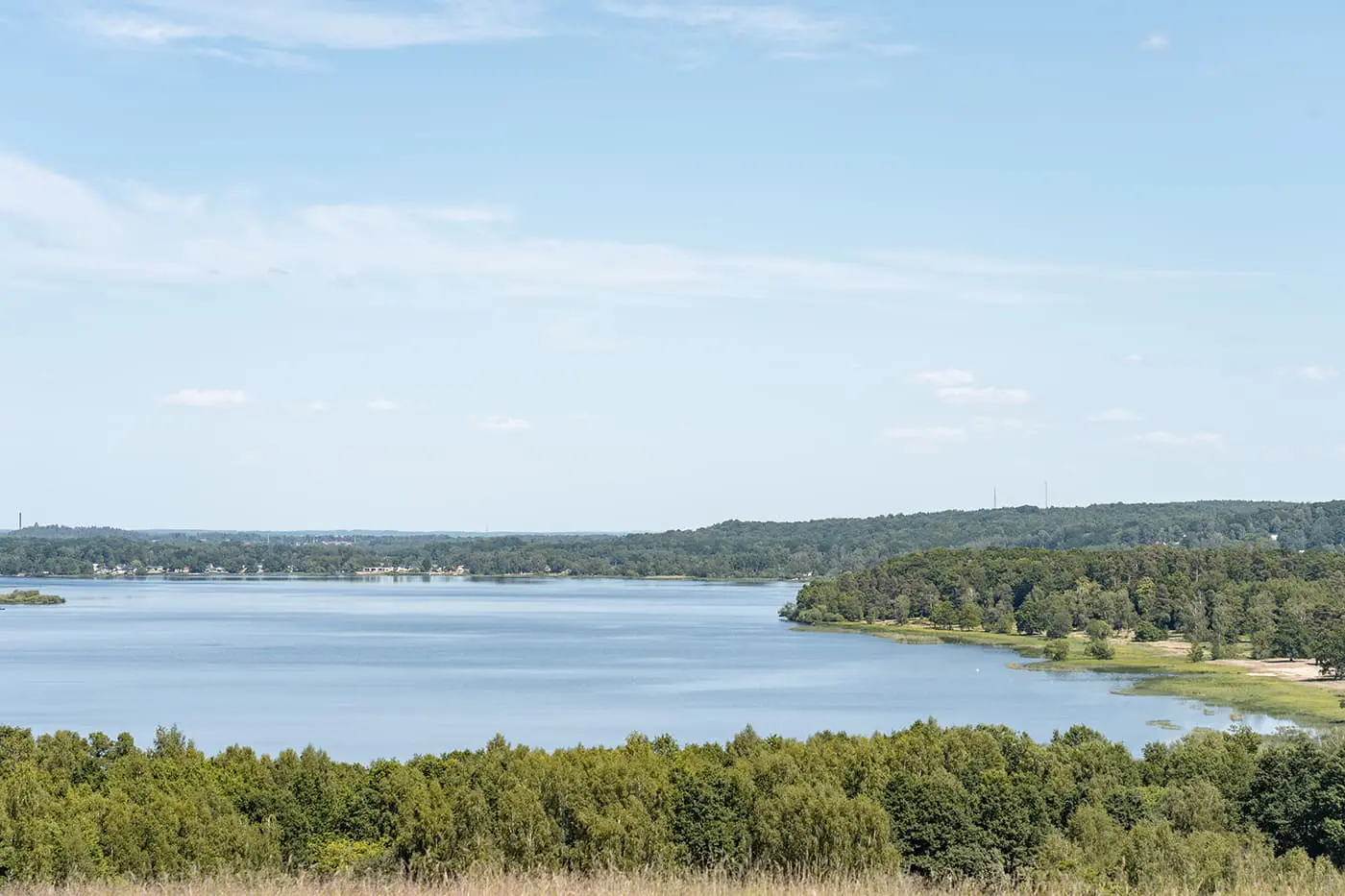
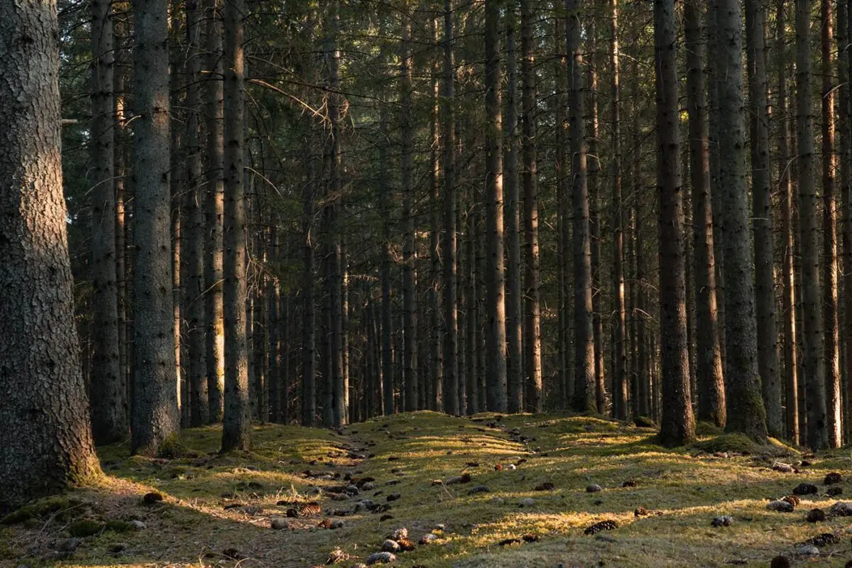
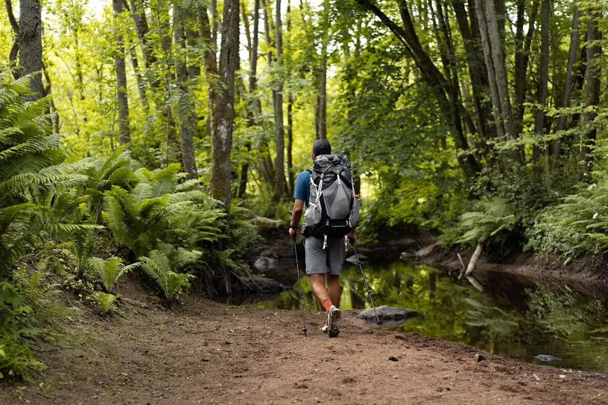
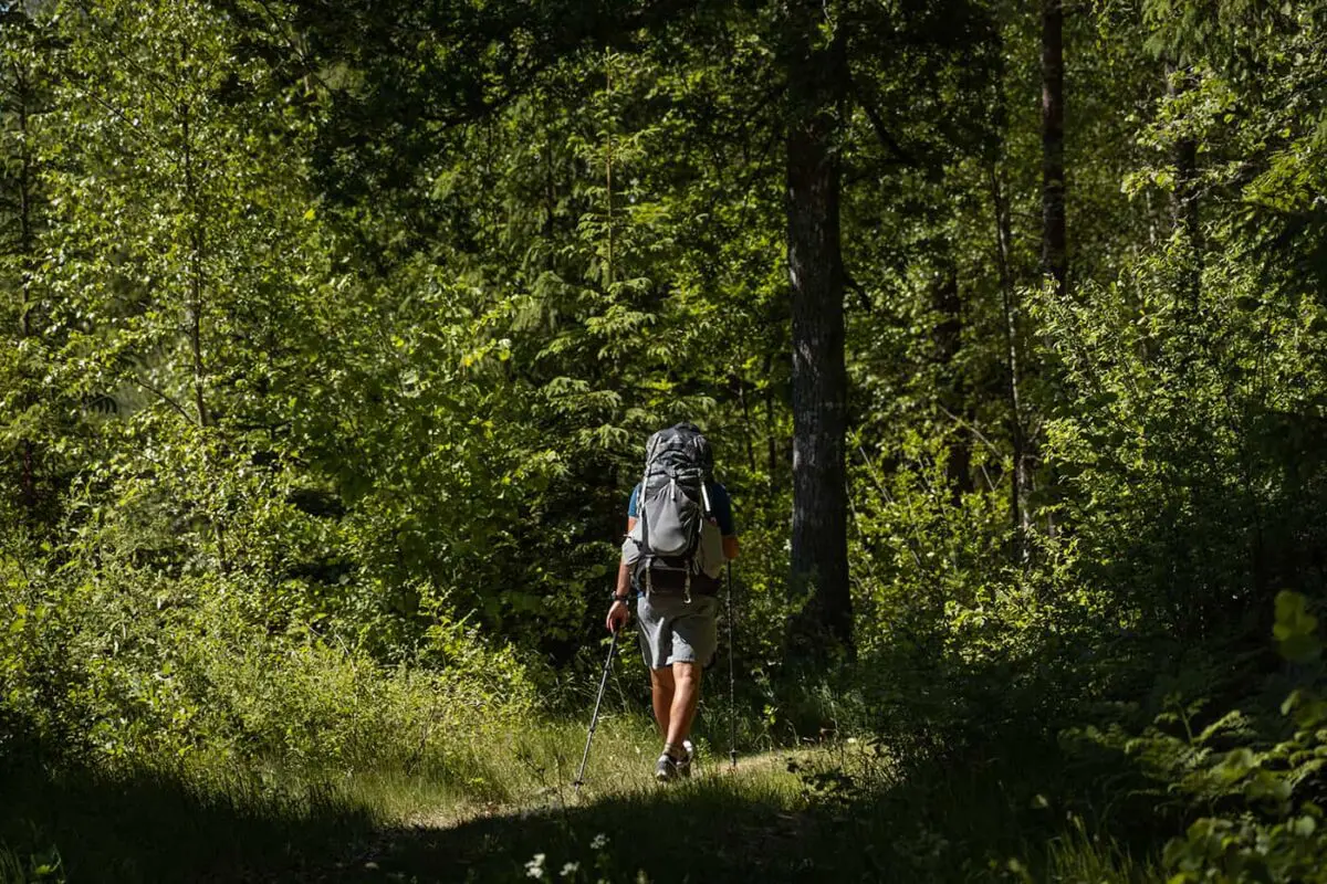
In Skåne, the southernmost part of Sweden, there is an extensive hiking network that spans more than 1400 kilometers of hiking trails. Across the six trails of the Skåneleden, you can wander throughout the entire region. Many hikers choose to explore a different section each time to be continually surprised by the varied landscape. The network of paths takes you through dense forests, along rock formations, over meadows, and even along the coast.

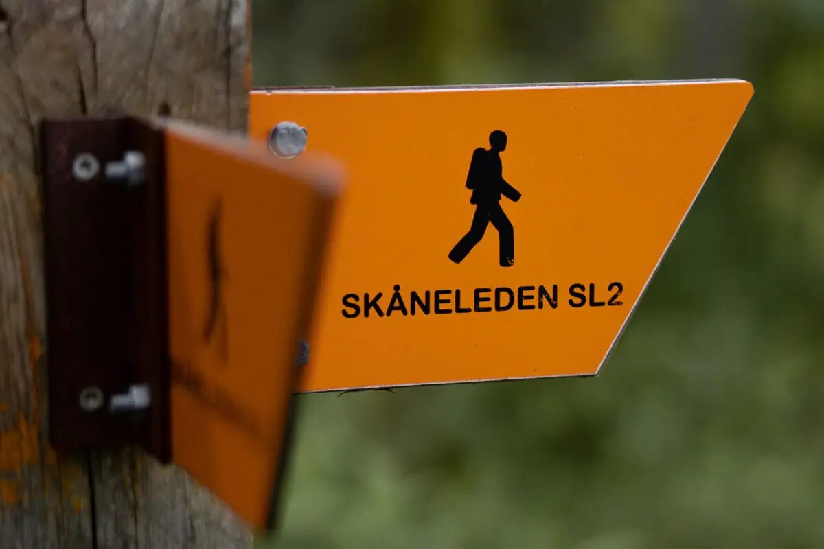
There are six sub-trails on the Skåneleden, each providing a distinct experience depending on what you’re looking for. You can trek along the coast, further inland, or even hike along the length of Skåne if you’re up for it.

Editor

Elmar Teegelbeckers

Passionate hiker Elmar spends months of his time on the trail. He’s usually on the lookout for hidden gems in one of his favourite countries such as Slovenia, Switzerland and Japan. He founded hiking-trails.com in need for a community and detailed information about the trails. Before this, he worked for the Alpine asscociation in the Netherlands[ (NKBV) but lost his heart to the trails.

With this website and socials, he hopes to shape an inclusive community for hikers all over world. No matter your speed, experience or level, you can get out there to enjoy the trails and connect with the heartwarming hiking community. Life is so much better outside and he hopes to inspire hikers to take their first, or next, step on the trail.

View profile

The Trail

Thanks to the right of public access also called ´allemannsretten´ you can wild camp along the trail. There are also shelters along the route, that are small wooden houses you can use for free. You’ll need to bring your own sleeping gear, food, and drink. Alternatively, you can choose to stay in accommodations such as B&Bs in the villages at the end of each stage.

The entire path is marked with orange markings and signs, so you can always find your way. Walk along the coast or hike through the hills of Central Skåne with green beech forests, fascinating rock formations, and rich flora and fauna. The trail also takes you past the many lakes of Skåne.

The trails are marked with orange signs and provide various sections for circular hikes, making it easy to explore the region of Skåne.

Skåneleden is segmented into six distinct sub-trails, each with its unique charm and highlights:

Coast to Coast Trail: This trail offers an immersive experience of Skåne’s diverse landscapes, connecting the western and eastern coastlines. Here, you will enjoy the coastal scenery, inland forests, and rolling fields.

North to South Trail: Spanning from the northernmost to the southernmost points of Skåne, this trail showcases the region’s geographical and ecological diversity, including dense forests, open landscapes, and historic sites.

Ås till Ås Trail: This route is characterized by its hilly terrain, which offers challenging hikes with rewarding views. It’s a journey through some of Skåne’s most picturesque and elevated landscapes, providing a unique perspective of the region.

Österlen Trail: Known for its artistic and cultural significance, the Österlen Trail winds through Skåne’s eastern part, famous for its coastal vistas, villages, and cultural scenes.

Öresund Trail: This coastal trail offers panoramic views of the Öresund Strait, connecting Sweden and Denmark. It’s a blend of natural beauty and cultural encounters, with proximity to urban areas and historical landmarks.

Vattenriket Trail: This trail highlights the ecological richness of the Vattenriket Biosphere Reserve. It’s a path through wetlands, lakes, and rivers, offering a deep dive into the area’s biodiversity and conservation efforts.

Stages

The Skåneleden Trail sub-trails

  • The Coast to Coast Trail, 370km | 230 mi
  • The North to South Trail, 325km | 202 mi
  • Ås till Ås Trail, 162km | 101 mi
  • The Österlen Trail, 188km | 117 mi
  • The Öresund Trail, 214km | 133 mi
  • Vattenriket Trail, 50km | 31 mi

Accommodations

While hiking the Skåneleden you can mostly opt for wild camping or sleeping in the free wooden shelters along the way. When you pass a town, you can always go for accommodation like a hotel or bed & breakfast to take a nice shower after a few days in nature.

Wild Camping

Sweden’s right of public access, ‘allemansrätten,’ is a unique principle that allows everyone to freely explore nature. It’s this right that makes wild camping along the Skåneleden not just possible, but a celebrated part of the Swedish outdoor experience. Nestled within the diverse landscapes of Skåne – from the rolling hills and lush forests to the rugged coastlines and tranquil lakes – the trail invites you to pitch your tent under the Nordic sky. As always, please Leave No Trace while wild camping.

Shelters

Sleeping in shelters along the Skåneleden trail offers a unique way to hike this trail. These shelters, often strategically placed, provide a rustic yet comfortable means of accommodation amidst the wilderness. The shelters are typically simple wooden structures, designed to offer protection from the elements while keeping you connected to the outdoors.

Best time of the year

The best time to hike the Skåneleden Trail is during the spring or fall seasons. These periods are recommended due to the mild weather conditions, which make the hiking experience more enjoyable. Spring offers the chance to see the landscape come to life, with more greenery and blooming flowers, while fall provides a beautiful backdrop of golden-red hues in the forests. Both seasons offer comfortable temperatures for hiking and less crowded trails. Summer is also a popular time for hiking Skåneleden, especially for those hiking the coastal sections of the trail or who prefer warmer weather.

Safety & Gear

The Skåneleden is an easy trail perfect for beginning long-distance hikers. Don’t forget to pack essentials like your camping gear, rainwear, layers, socks and underwear, a headlamp, multi-tools, and navigation materials like GPX on your mobile or a map of the Skåneleden trail. Seasonal considerations should guide your choice of additional gear, such as sunscreen and insect repellent in the summer or thermal clothing and a warmer sleeping bag in cooler months. Always bring enough food and water with you while you start your hike.

Good to know

The best thing about hiking in Sweden is the Right to Roam. Embrace the ‘Right to Roam’ and set up your tent in nature after every stage. As long as you avoid disrupting landowners or harming the environment, ‘allemansrätten’ grants you the liberty to select any secluded camping site. It’s crucial to carry away all garbage, maintaining the pristine condition of Sweden.

The Right of Public Access or ‘allemansrätten’ is a legally protected principle in Sweden that affords everyone the liberty to explore nature freely. The only ‘price’ to pay is a deep respect for the natural environment and the wildlife that calls it home.

When nature calls in the outdoors, choose a location away from paths or campsites and discreetly bury your waste. Remember, leaving no trace means not abandoning any toiletries either. Equip yourself with plastic bags and a compact shovel to conceal any signs of your stay.

Consider these guidelines before establishing your camp:

  • Ensure your chosen spot is not close to residential areas, within agricultural lands, or areas used for animal grazing.
  • If you’re camping in a large group, it’s respectful to seek the landowner’s consent.
  • Generally, setting up tents in sports facilities, national parks, or conservation areas is discouraged. However, local regulations vary, and some exceptions may apply. Check the municipal website, local information boards, or tourist centers for specific rules.

Want to submit a trail or make this page more complete?

Comments

Be the first one to comment on this trail!

Reply to this trail

Your email address will not be published. Required fields are marked *

Reply to this trail

Log in to comment on this trail
Always read the disclaimer

Terms of Use: important to all visitors on this website. We strive to publish high quality content and information on this website. However it’s always possible that we’re missing out on some crucial information. In spite of the fact that this route, associated GPS track (GPX and maps) were prepared under diligent research by the specified contributor and/or contributors, the accuracy of such and judgement of the author is not guaranteed. Therefore, hiking-trails.com and contributors are in no way liable for personal injury, damage to personal property, or any other such situation that might happen to individuals hiking or following this route. Should you choose to hike this trail, this is always at your own risk. Check out our guidelines for safety hiking and Leave No Trace principles at the hiking 101 page.

Download GPX

Join the community!

Login or create a FREE account 😊

With an account you can:

Download GPX files

Pin trails to your wishlist

Mark trails as hiked by you

Rate hiking trails

Comment on trails, blogs and gear reviews

Happy trails!
Login

Don't have an account yet? Register here