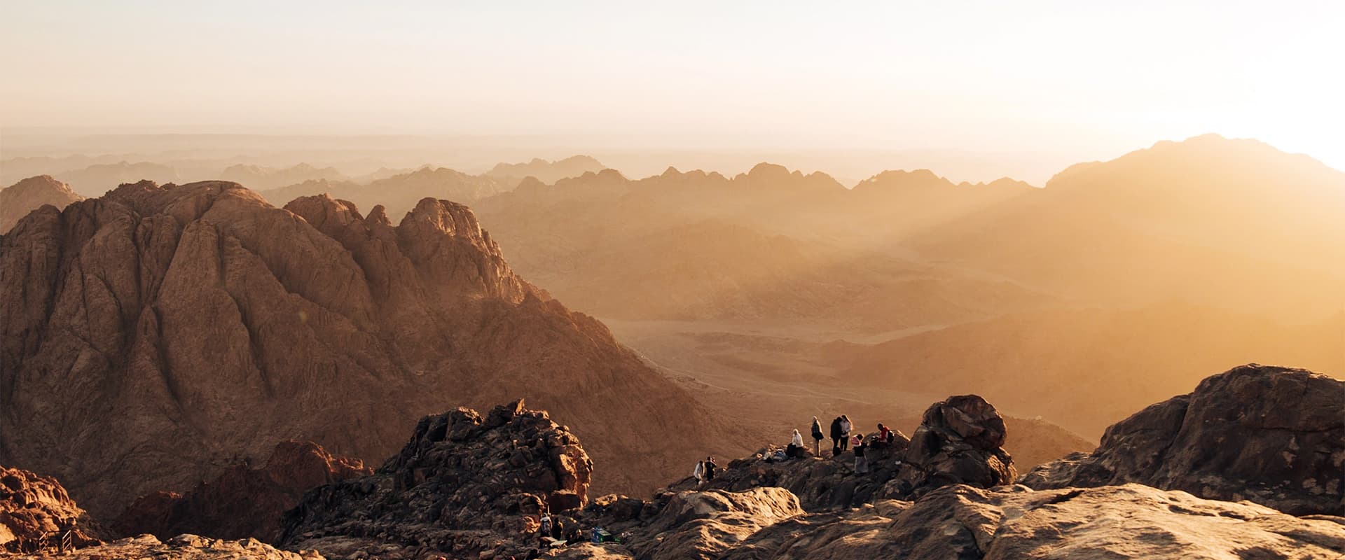
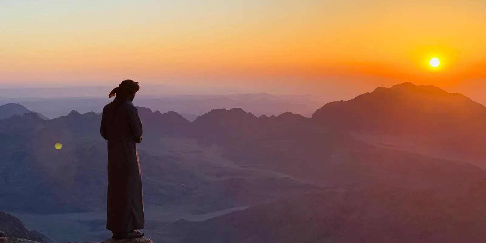
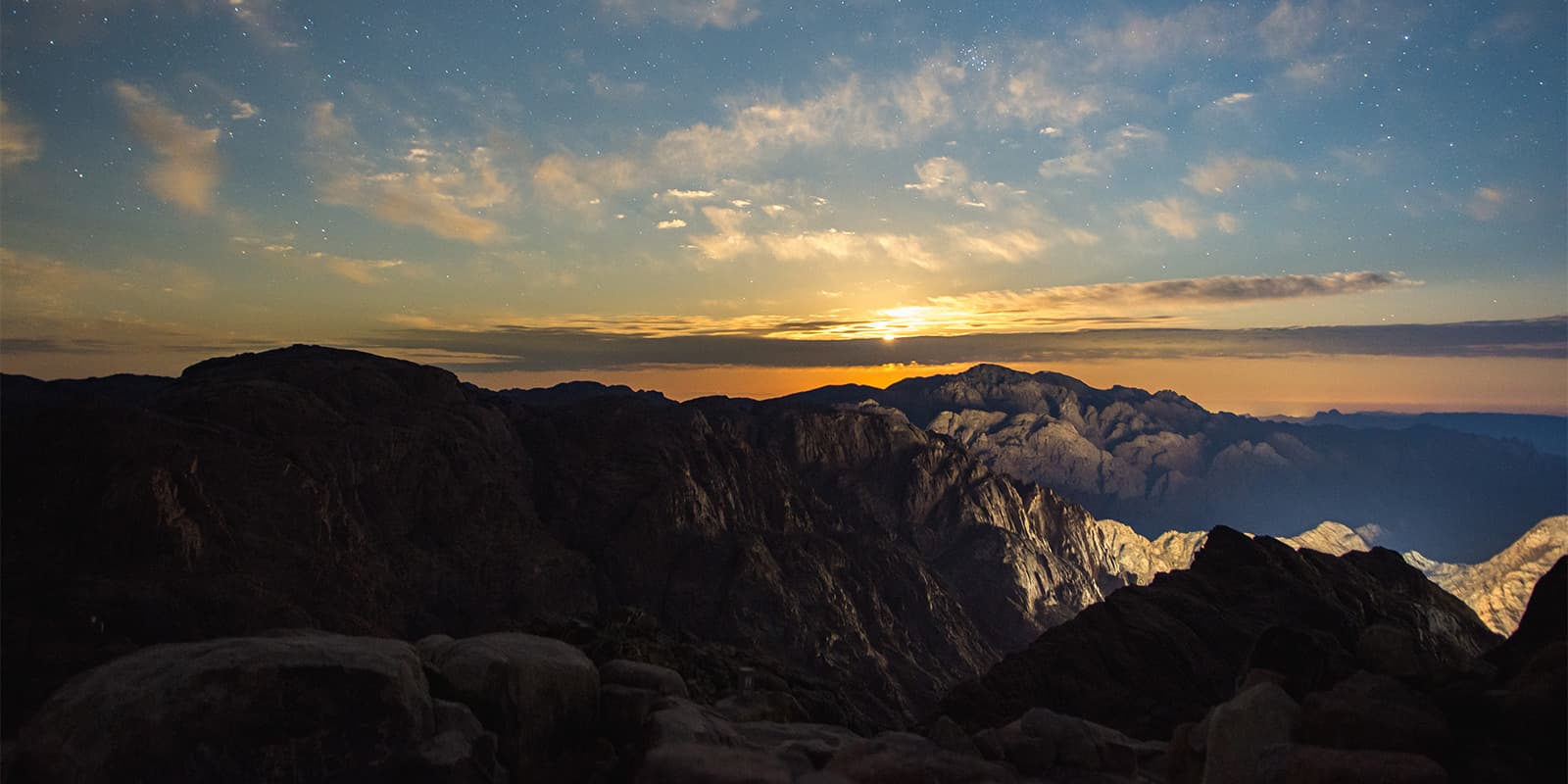
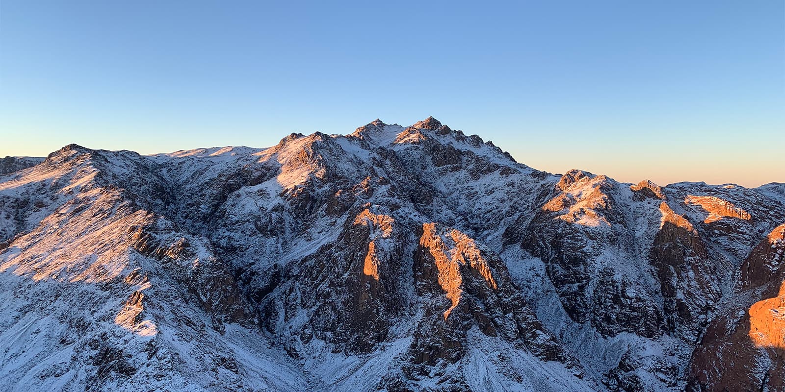
The Sinai Mountains Highland Trail during sunset

Sinai Highland Trail

Saint Catherine Trail

About the Sinai Highland Trail

country
Egypt
length
117 km(73 mi)
Type of trail
Long-distance
difficulty

Difficulty is highly personal. Be aware of the weather conditions as bad weather turns easier trails in difficult trails especially in the mountains.

Difficult
accommodation

Lodging means a mix of hotels, hostels or AirBnB’s.

Mountain huts, Camping
Elevation gain
2642 m(8668 ft)
terrain
Mountains, Desert, Hills
remoteness
Some of the time
Show more

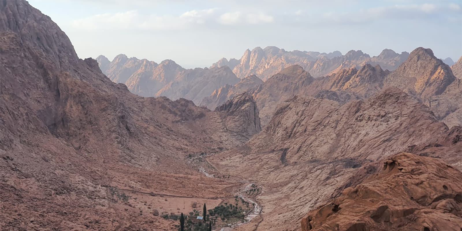
The Sinai Mountains Highland Trail in Sinai is known for its stunning natural landscapes and dramatic valleys and is renowned for its authentic Bedouin culture and way of life. It has been classified on the UNESCO list, making it an ideal destination for exploring the natural landscapes and experiencing Bedouin culture.

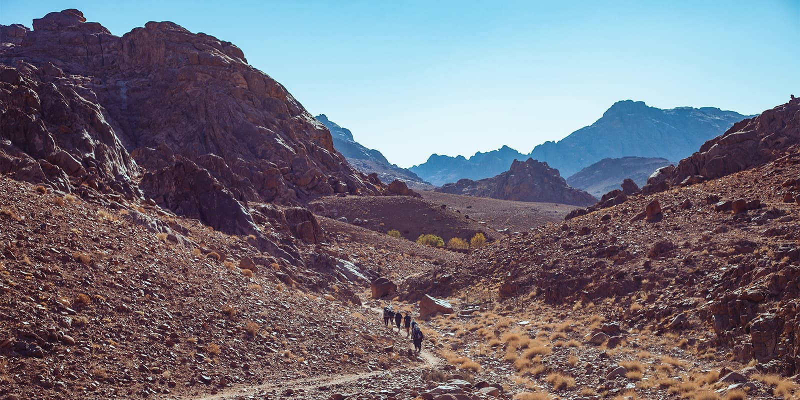
The trail will be through the area of the Jabali tribe, the protectors of St. Catherine’s Monastery, as you will pass the highest point of Egypt at an altitude of 2642 meters. The trail will also pass by old Bedouin dwellings and their gardens. The Sinai Highland Trail is around 117 kilometers through valleys and different mountain peaks.

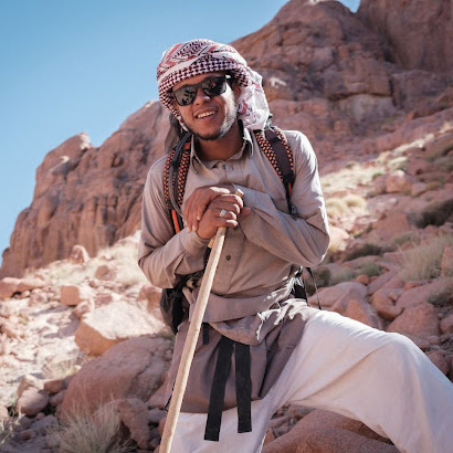
Ahmed Mousa profile picture

Ahmed Mousa

Ahmed Mousa is from the Gibalya tribe. Ahmed grew up in Wadi El-Raha, a village near St Catherine in the Sinai peninsula, and began guiding when he was young. He has a formidable knowledge of the Sinai highlands and his other area of expertise is Sinai’s plants and animals. He is the grandson of the famous Dr. Ahmed – a Bedouin herbalist – from whom he learned what he knows today. When he’s not guiding, Ahmed spends his time in the mountains, walking, learning new things, caring for his family, and tending to his orchard near his home. Ahmed was a part of the Sinai Trail Bedouin Cooperative for 2 years. You can follow Ahmed on Instagram @mr_sinawy. ​​

View profile

The Trail

First up, you will hike Mount Sinai or Mount Moses, where the prophet Moses received the Ten Commandments before you cross Wadi El-Arbain. This is where the Saint Catherine monastery is and a landmark before you hike the roof of Egypt. Mount Catherine, the highest point in Egypt, is 2642 meters above sea level, and then you’ll go on to Mount Ahamr, where are the amazing boulders. After that, you will cross Mount Abbas Basha, where there is the foundation of a palace that belonged to Khedev Abbas Basha and is the place he wanted to spend the rest of his life.

Next, you’ll enter the dramatic valleys in Wadi Buale and then head on to the Mount El-Somra trail, which you’ll find is very remote. From there, you’ll hike to Farsh El-Romana and the 3 peaks, which look over the Gulf of Suez and the Red Sea. Around here, it’s also possible to swim in the El-Galt El-Azraq natural pool if the weather is comfortable. After that, you will cross by Saqar Canyon and finally will arrive to the summit of Mount Na’ga, where you can enjoy an amazing panorama of the Sinai mountains and the Sinai desert.

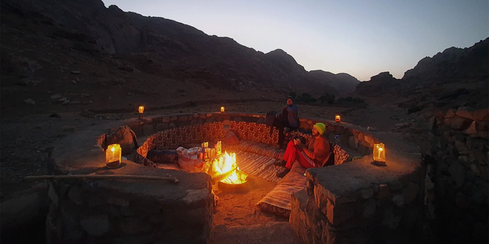
Once you’ve enjoyed this area, you’ll hike down to Wadi Itlah, where you’ll notice that the herbs will be different. This is important because you’ll find a Bedouin camp nearby where there’s an herbalist doctor who stays there and can help or teach you about the region’s offerings. Keep descending 1100 meters to another set of Bedouin houses where you can stop for the night and enjoy the amazing stars in the sky. You’ll spend the night in El-Karm Ecolodge, which was constructed in the old architecture style with granite stones.

Finally, you get to Wadi Elfere, and from there hike to Mount El-Banat. And then on the last day, you’ll end at the Saint Catherine Monastery, one of the oldest Christian monasteries in existence. The monastery includes a wonderful collection of ancient icons and manuscripts, as well as the famous burning bush, which is believed to be the biblical bush from which God spoke to Moses. It also includes the second oldest library in the Old Testament after the Vatican Library. The unique location of the monastery at the foot of Mount Moses, its long history, and the religions it includes make it unique and important to most people who come to visit it.

Stages

Stage 1:

Arrival to Saint Catherine City – Night in local camp

Stage 2:

Mount Sinai “ Moses Mountain” – Wadi Fara, 9.8km | 6.08 mi

Stage 3:

Mount Catherine – Wadi Shaq Mousa, 14.7 km | 9.13 mi

Stage 4:

Mount Ahmar – Wadi El-Shaq, 6.76 km | 4.2 mi

Stage 5:

Mount Abbas Basha – Wadi El-Zawatin, 8.37 km | 5.2 mi

Stage 6:

Mount El-Somra trail – Wadi Neshil, 10.87 km | 6.75 mi

Stage 7:

The 3 peaks – El-Negela spring, 11.8 km | 7.33 mi

Stage 8:

El-Galt El-Azraq – Um Sela basin, 7.59 km | 4.71 mi

Stage 9:

Mount Na’ga – Wadi Shaq Tenia, 11 km | 6.83 mi

Stage 10:

Wadi Shiekh Awad – Camping in El-Karm Ecolodge, 11.96 km | 7.43 mi

Stage 11:

Wadi El-Furai – El-Nogra Wadi, 12.7 km | 7.89 mi

Stage 12:

Mount El-Banat – Camping in Mohamed Garden, 10.64 km | 6.61 mi

Stage 13:

Saint Catherine Monastery – departure day, 1.5km | 0.93 mi

Accommodations

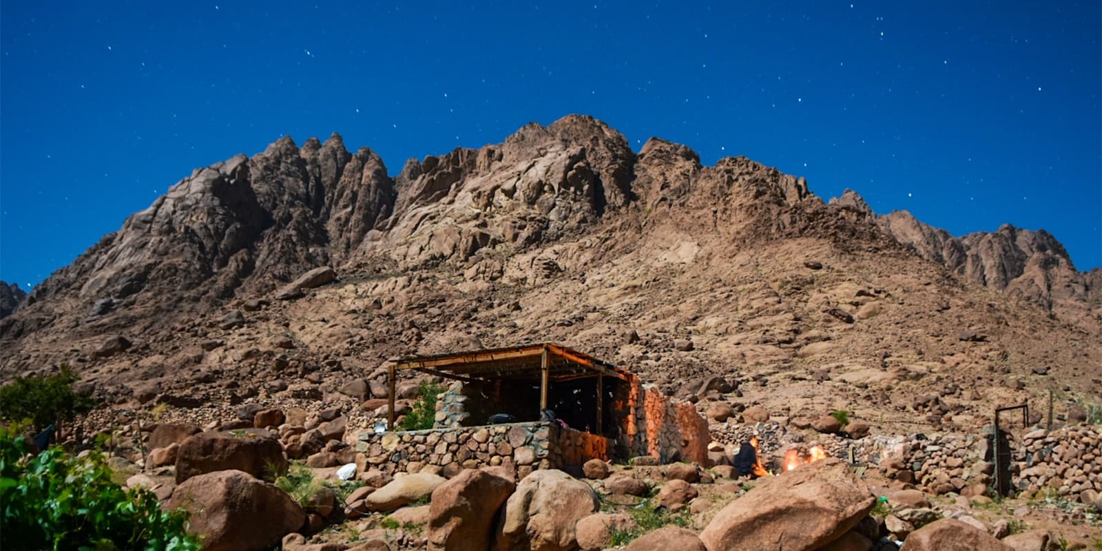
When hiking the Sinai Highland Trail trail, you’ll mainly camp every day in the gardens alongside the trail. Some gardens have simple huts, but it is more common to sleep in tents with a sleeping bag. If you don’t want to sleep on the sand and under the stars, this may not be the best trail for you.

Some of the gardens are busy in April and October, so you’ll need to consider that you’ll have neighbors as you hike. One great thing about some gardens is that they have a shower and composting WC, which will keep you fueled for your next hiking stage. Make sure you don’t miss out on the local food “farasheh and leba” and a good plate of the “maqlouba.”

Stage 1:

Local camp

Stage 2:

Farsh Lozah or Farsh Elijah

Stage 3:

Wadi Mathar

Stage 6:

Farsh El-Romana

Stage 7:

Farsh El-Romana

Stage 10:

Elkarm Ecolodge

Best time of the year

The best time of the year to hike the Sinai Highland trails is from September to November and from March to May. In summer, the temperature is around 27 to 30 degrees and pleasant at night. Some people prefer to go hiking during this period. In winter, the temperature is low during the day and very cold at night. Rain may fall at any time during the spring and autumn and there may be snow during the winter. However, some well-equipped hikers still prefer to take this trip during the coldest months.

Keep in mind that the weather in the high mountains can change rapidly, and it’s important to be prepared for all conditions, including rain or snow. Always check trail conditions and local weather forecasts before starting a high-alpine hike. Additionally, consider your hiking experience and skill level, as some sections of the Sinai Highland can be challenging and require proper equipment and experience.

Safety & Gear

Because of the weather fluctuations in the desert, you’ll want to bring a three-season sleeping bag and a tent to be comfortable at night. Use a duffel bag for your main gear and a 20-30 liter hiking daypack for daily essentials. Wear strong hiking shoes and use hiking poles for the rough terrain. Pack hiking pants, a thermal shirt, a warm jacket, and a hood for chilly weather, and don’t forget some winter clothes.

Sunglasses, a sun hat, and sunscreen will protect you from the sun. A head torch will help you see at night, and slippers or sandals will let your feet relax after a long day. Carry energy bars, nuts, and snacks to stay energized. A personal first aid kit and sanitary supplies will keep you prepared for any needs. Bring a battery or solar charger to power your devices. Finally, pack your passport and some extra cash for emergencies.

Good to know

The Sinai Highlands Trails are some of the oldest trails in the world. While you don’t need to be an expert hiker to hike this trail, you do need to be fit enough to walk for at least 5-6 hours each day in Sinai weather, and you need to bring your own hiking and camping gear and your own snacks.

It is recommended, and almost necessary, to hike this trail with a guide or as a part of a guided trek. Due to the proximity and reliance on the Bedouin camps, the harsh weather conditions, and the potential language barrier, it’s best to have someone knowledgeable of the area guide you through the Sinai region.

route
point to point
Highest point
2642m (8667 ft)

Want to submit a trail or make this page more complete?

Always read the disclaimer

Terms of Use: important to all visitors on this website. We strive to publish high quality content and information on this website. However it’s always possible that we’re missing out on some crucial information. In spite of the fact that this route, associated GPS track (GPX and maps) were prepared under diligent research by the specified contributor and/or contributors, the accuracy of such and judgement of the author is not guaranteed. Therefore, hiking-trails.com and contributors are in no way liable for personal injury, damage to personal property, or any other such situation that might happen to individuals hiking or following this route. Should you choose to hike this trail, this is always at your own risk. Check out our guidelines for safety hiking and Leave No Trace principles at the hiking 101 page.

Download GPX

Join the community!

Login or create a FREE account 😊

With an account you can:

Download GPX files

Pin trails to your wishlist

Mark trails as hiked by you

Rate hiking trails

Comment on trails, blogs and gear reviews

Happy trails!
Login

Don't have an account yet? Register here