About the Siljansleden

country
Sweden
length
340 km(211 mi)
Type of trail
Long-distance
difficulty

Difficulty is highly personal. Be aware of the weather conditions as bad weather turns easier trails in difficult trails especially in the mountains.

Moderate
accommodation

Lodging means a mix of hotels, hostels or AirBnB’s.

Wild camping, Camping, Lodging
Elevation gain
1230 m(4035 ft)
terrain
Forest, Hills
remoteness
Some of the time
Show more

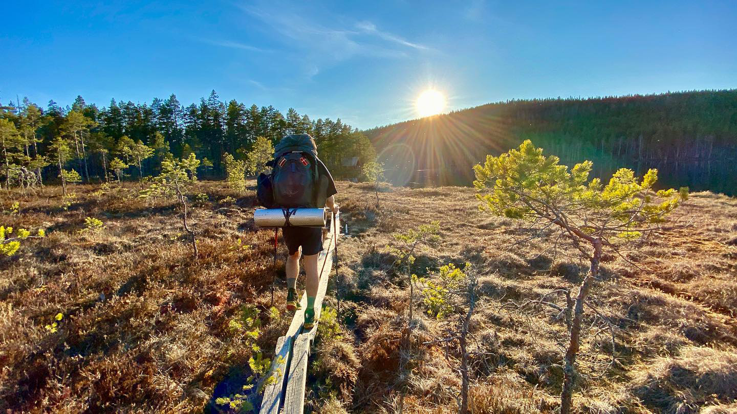
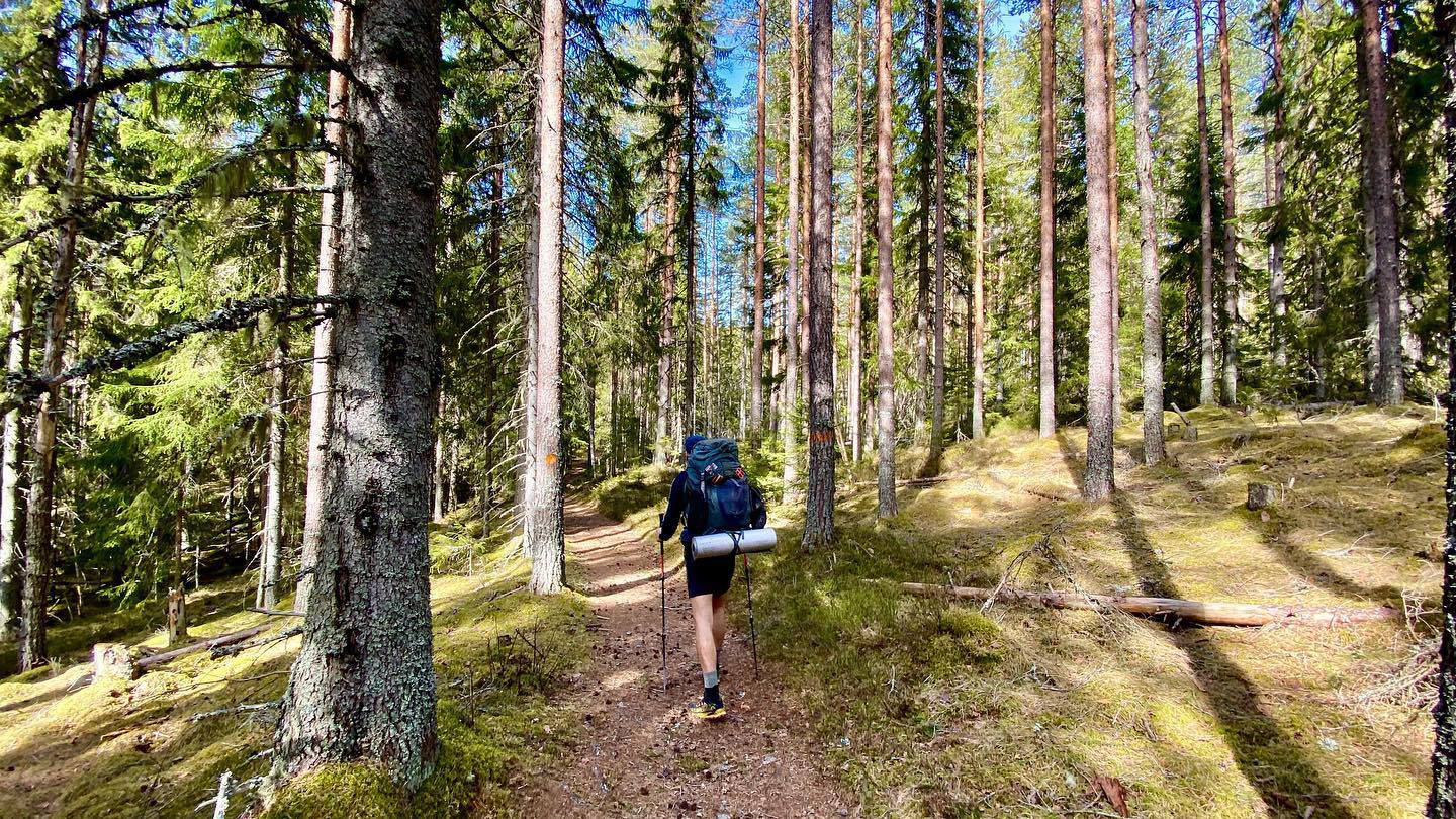
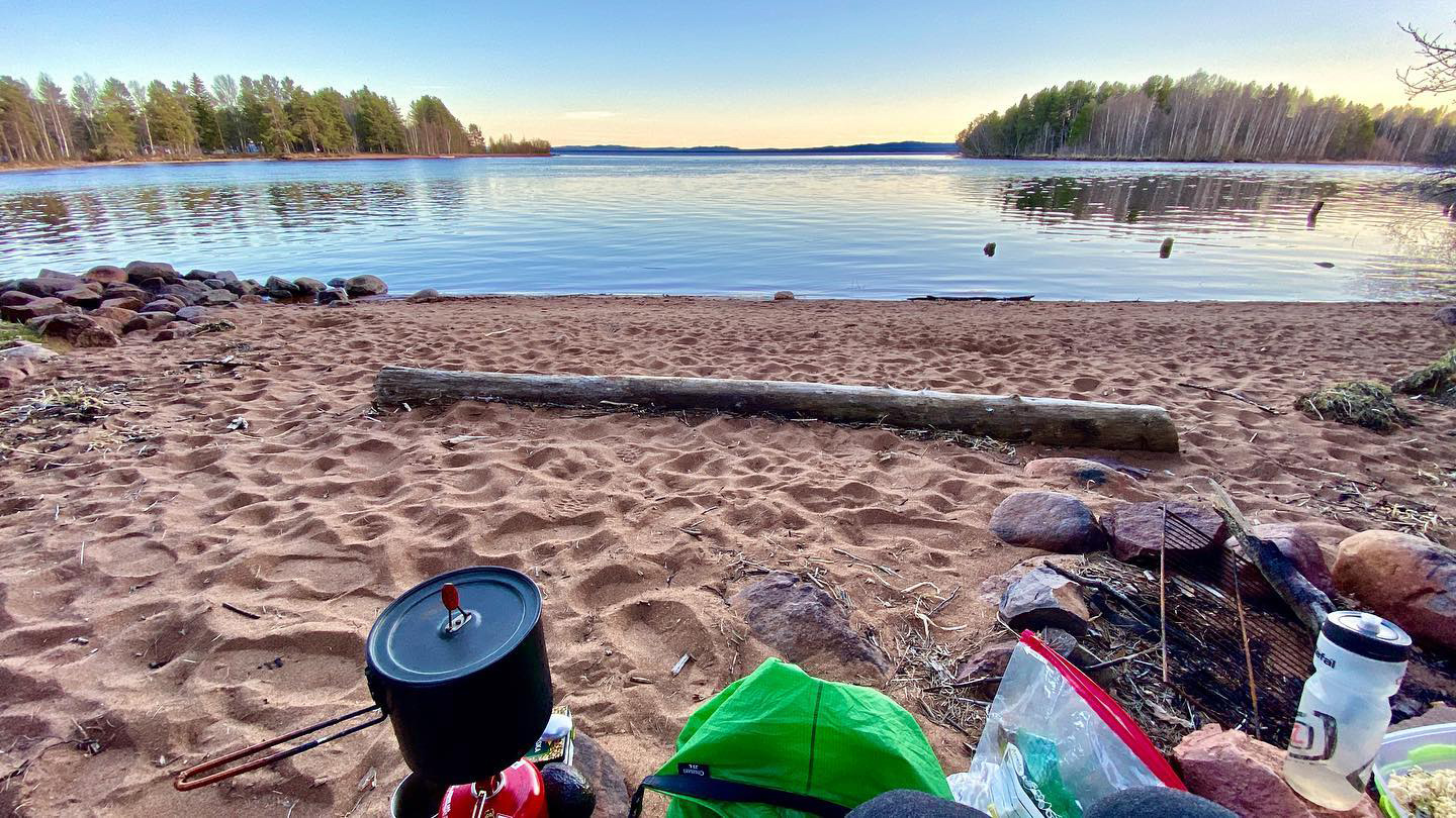
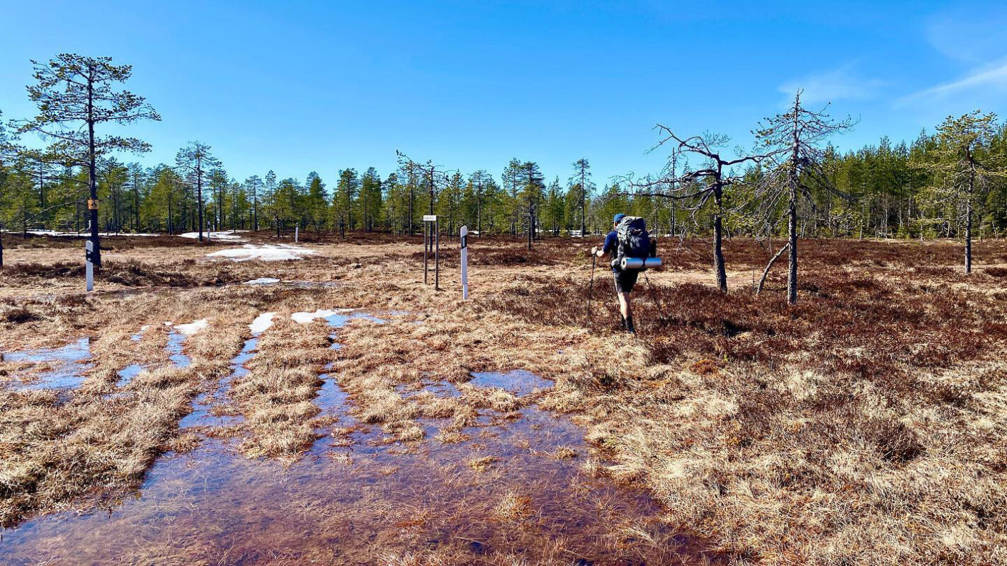
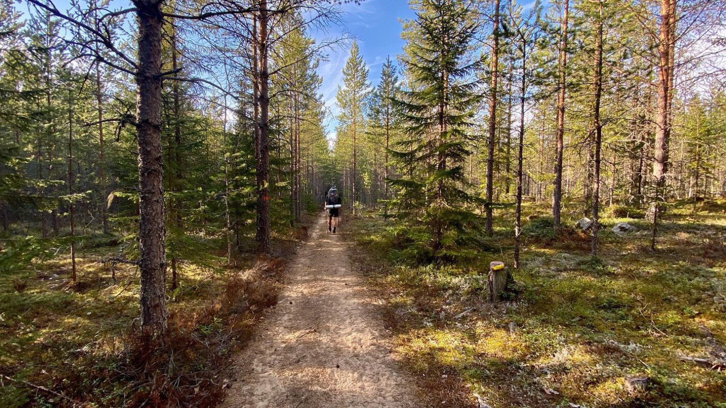
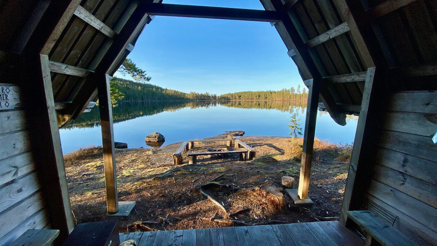
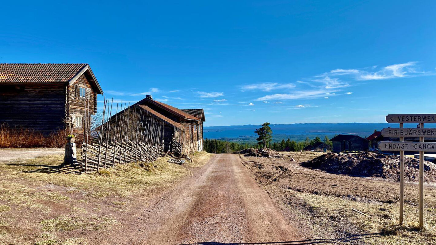
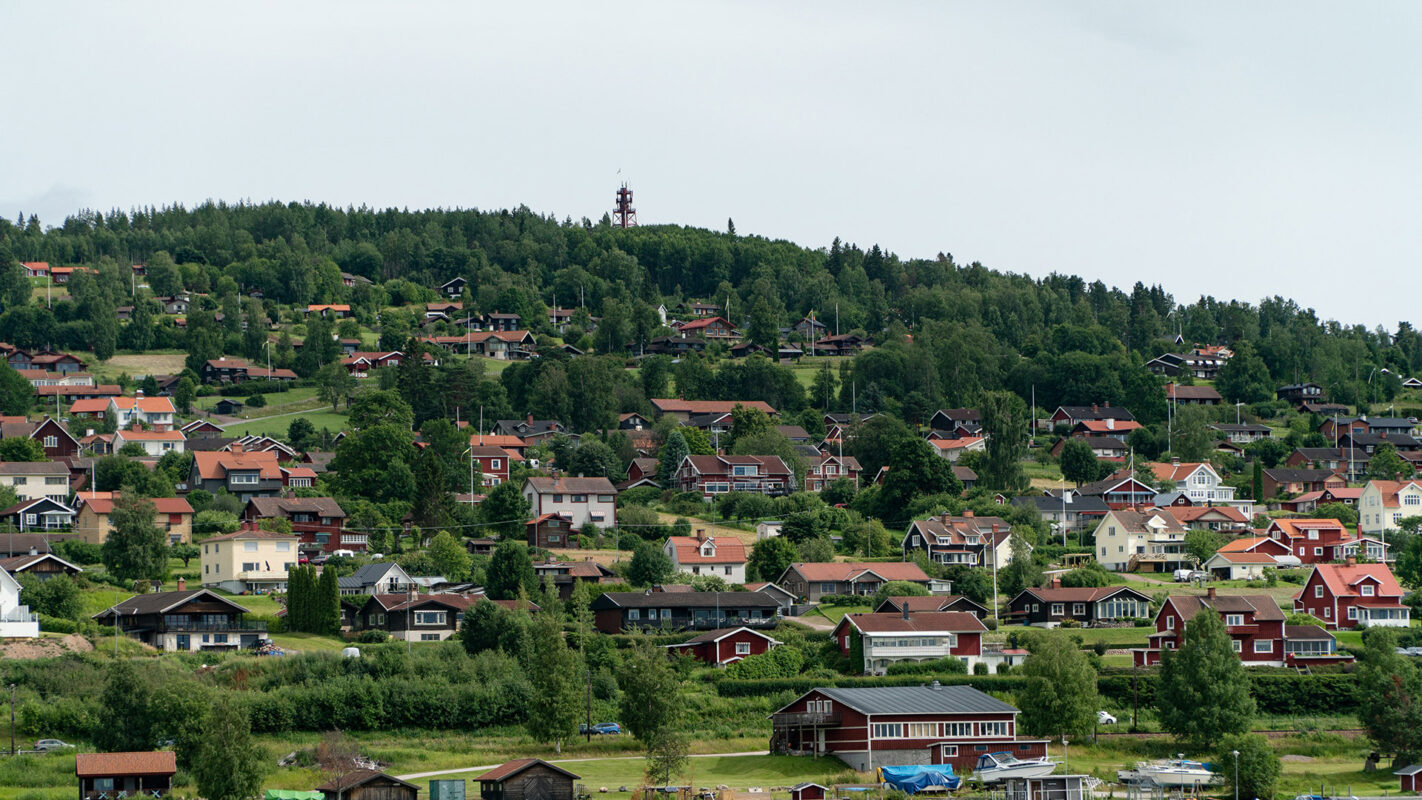
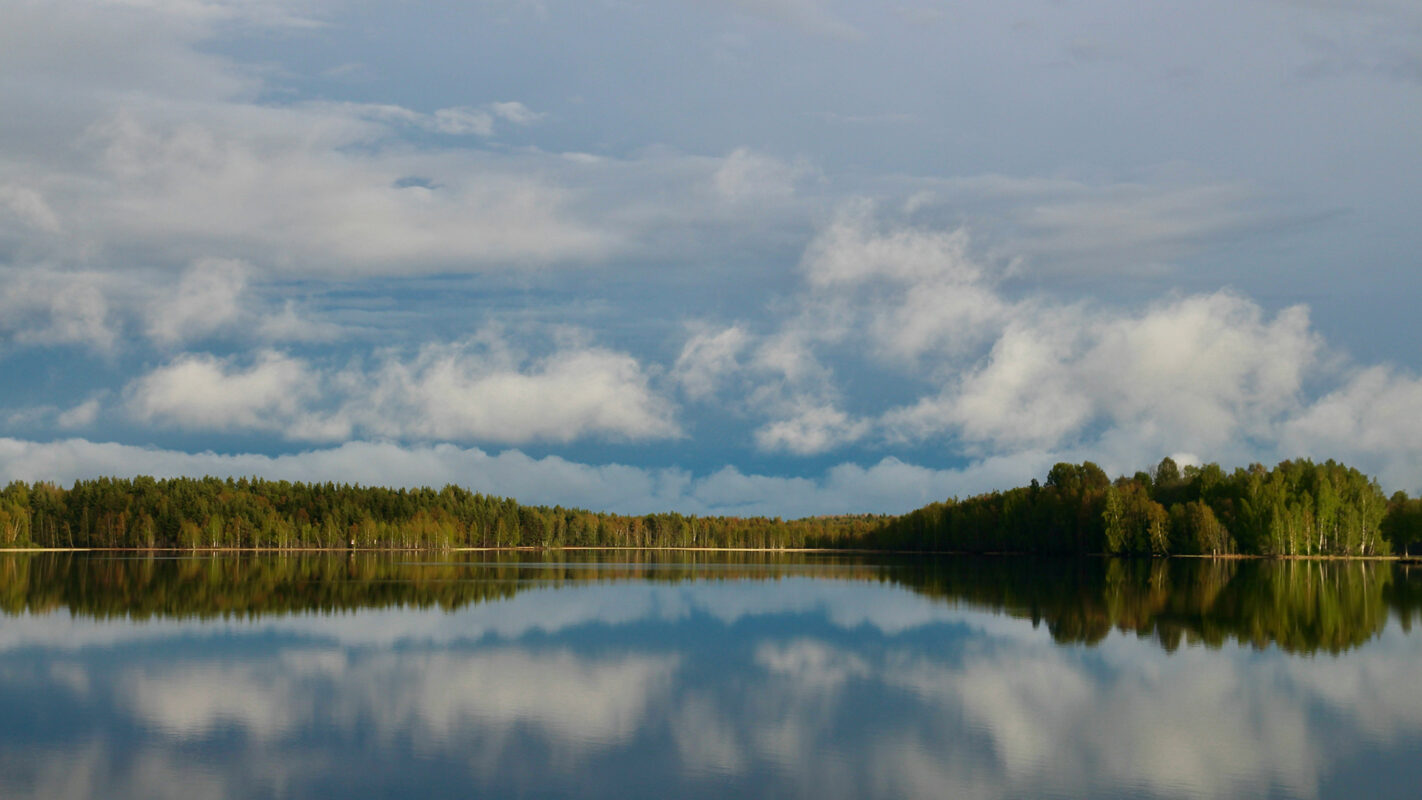
The Siljansleden is two loops around the lakes Siljan and Orsasjön. This beautiful landscape has wide forests and large hills for making an elevation gain of up to 400 meters. The trails here pass tarns and small lakes, where you can stop for a refreshing swim. You can also fish in the region. There is much to discover around Siljan, with beautiful countryside and traditional small buildings and villages.

The Siljansleden trail was officially established in the early 2000s to promote hiking tourism in Dalarna, the Swedish province. The development of the trail was a nice effort involving local authorities, conservation organizations, and community groups working together to create a network of hiking routes around Lake Siljan. It is now categorized as one of Sweden’s 12 Signature Trails.

Stiina Kristal

Stiina Kristal

Stiina is an IML-qualified mountain leader and an experienced long-distance hiker. Together with her partner Kris, they love to explore trails all around the world, learning more about themselves with every adventure.

View profile

The Trail

For a lot of the time,  you will be hiking on the old pasture trails. However, many of the old huts are in higher locations with a wonderful view. Some even have a history that goes back to the medieval period. The countryside here is wild with forests and marshland. In Mora, you can follow the route of the famous Vasaloppet ski race from the town center for 5 kilometers.

This trail will give you a peek into the traditional lifestyle of Swedish farmers, taking you past famous areas and very wild places. This route is, however, not easy – there is lots of climbing, many gravel roads, and deforested land that you need to cross.

The route is marked by orange signs and is divided into four main sections, each centered around a region: Mora, Orsa, Rättvik, and Leksand.

Mora, the starting point for many, is a town famous for the Vasaloppet cross-country ski race and the home of the celebrated artist Anders Zorn. The trails around Mora are through beautiful forests and along the lake’s edge.

Moving north, the trail will go to Orsa, known for its stunning landscapes and the Orsa Bear Park. This section has varied terrain, which will give you a break as you walk along the lake, every once and a while dipping into the forests.

Heading towards Rättvik, the trail will go more toward the eastern shoreline of Lake Siljan, showing panoramic views and leading through villages. Rättvik itself is known for its traditional long pier into the lake and vibrant folk music scene. Enjoy!

The final section towards Leksand is through classic Dalarna countryside, complete with red wooden cottages and landmarks. Leksand is famous for its Midsummer celebrations and is a fitting end to the trail.

Stages

The trail can be divided into 3 main sections as it goes between the two lakes.


  • Mora – Orsa
  • Orsa – Rättvik
  • Rättvik – Leksand

Accommodations

Overnights and camping is easy on Siljansleden. It is also possible to overnight in simple shelter facilities known as “eldpallkojor,” with wooden sleeping benches around a fireplace. Wild camping in Sweden is legal because of the Allemansrätten, the right of public access for everyone.

Best time of the year

The best time to hike this route is in the summer, from June to September. It is also possible to attempt the route in the winter. Many sections are also maintained as cross-country skiing tracks and the roads are cleared all year round, although in some sections you may prefer snowshoes.

Safety & Gear

You’ll want to pack light for this trail to stay quick on your feet. However, the way you pack will depend on where you plan to sleep. Research ahead of time your exact itinerary to make sure you’re well prepared! You’ll also want to pack plenty of snacks and at least 2 liters of water a day.

Finally, the forests along the trail are used for hunting. Look up the local hunting seasons and be careful; wear high-visibility clothing for safety during these periods.

Good to know

Setting out on the trail early in the season means you need to be ready for varied conditions. Expect to encounter muddy trails and remnants of winter snow, especially notable in the Vasaloppet area, where snow tends to stick.

Sweden’s diverse wildlife is a significant aspect of the trail experience. Be prepared to see animals such as foxes, deer, and moose. Encounters with wild boars and bears are less common but possible.

The water sources along the route are primarily natural. Due to the potential presence of cattle nearby, it’s advised to filter or boil any water before you use it.

Route
Circuit

Want to submit a trail or make this page more complete?

Comments

Be the first one to comment on this trail!

Reply to this trail

Your email address will not be published. Required fields are marked *

Reply to this trail

Log in to comment on this trail
Always read the disclaimer

Terms of Use: important to all visitors on this website. We strive to publish high quality content and information on this website. However it’s always possible that we’re missing out on some crucial information. In spite of the fact that this route, associated GPS track (GPX and maps) were prepared under diligent research by the specified contributor and/or contributors, the accuracy of such and judgement of the author is not guaranteed. Therefore, hiking-trails.com and contributors are in no way liable for personal injury, damage to personal property, or any other such situation that might happen to individuals hiking or following this route. Should you choose to hike this trail, this is always at your own risk. Check out our guidelines for safety hiking and Leave No Trace principles at the hiking 101 page.

Download GPX

Join the community!

Login or create a FREE account 😊

With an account you can:

Download GPX files

Pin trails to your wishlist

Mark trails as hiked by you

Rate hiking trails

Comment on trails, blogs and gear reviews

Happy trails!
Login

Don't have an account yet? Register here