About the Sierre to Illhorn

Val d’Anniviers
country
Switzerland
length
18.2 km(11 mi)
Type of trail
Day hike
difficulty

Difficulty is highly personal. Be aware of the weather conditions as bad weather turns easier trails in difficult trails especially in the mountains.

Difficult
accommodation

Lodging means a mix of hotels, hostels or AirBnB’s.

Mountain huts, Lodging
Elevation gain
2307 m(7569 ft)
terrain
Mountains
remoteness
Some of the time
Show more

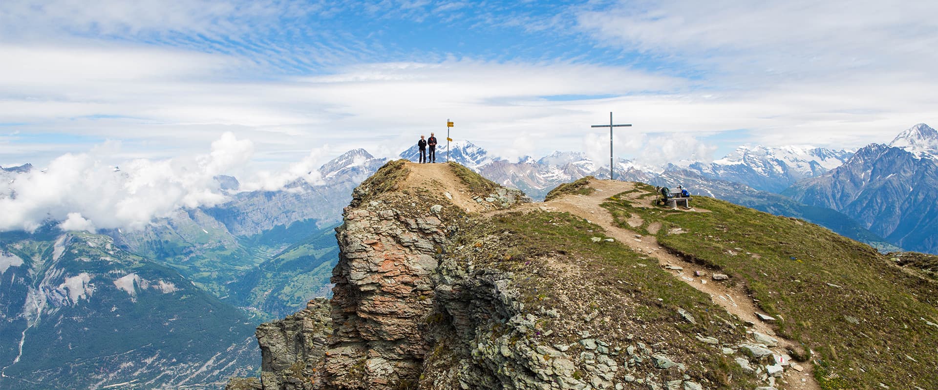
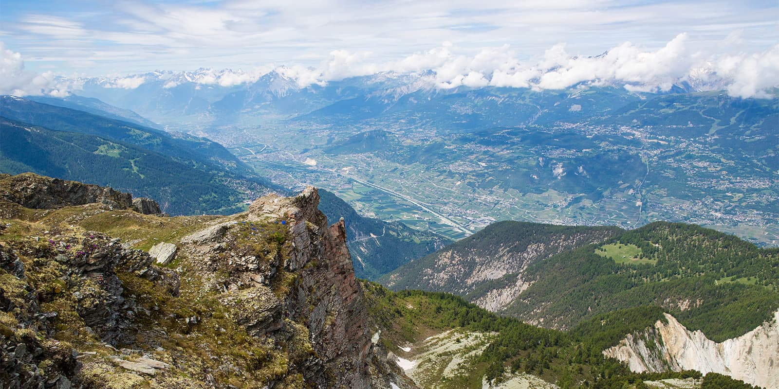
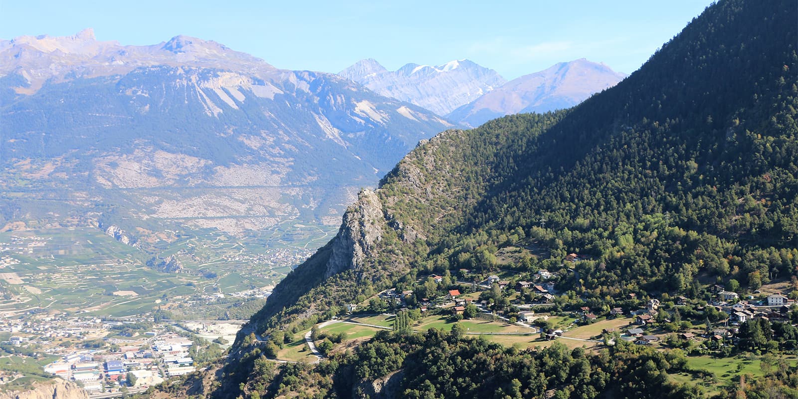
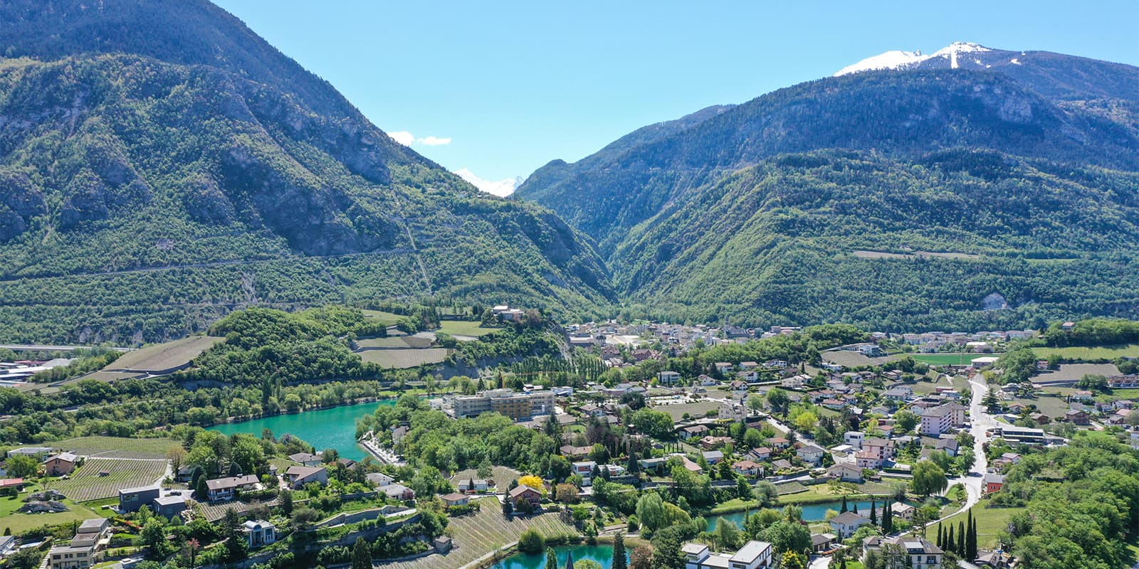
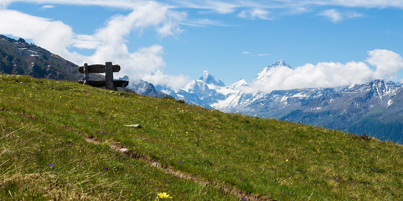
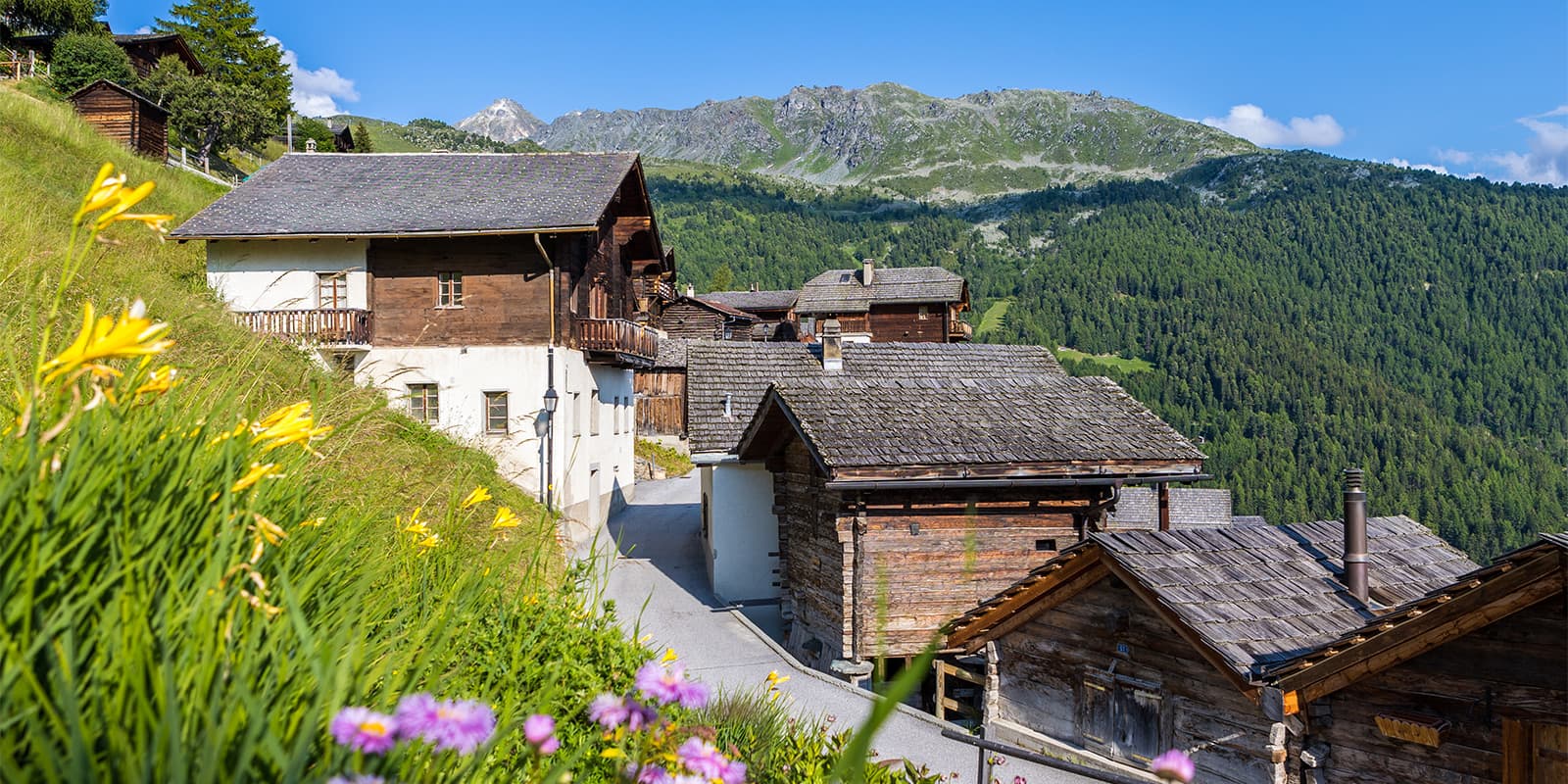
From the sun-drenched vineyards of Sierre to the standalone summit of the Illhorn, this hike is a perfect blend of alpine meadows and views over the Rhône Valley. Follow in the footsteps of the world’s best trail runners on the legendary Sierre-Zinal route and see for yourself the very essence of Valais in just a few hours.

Starting in Sierre, you’ll end at the top of the mountain, Illhorn, with breathtaking views of the summits and the Rhone Valley. From there, you can either stay at the Cabane Illhorn or descend to Chandolin where you can find more lodging.

Elmar profile picture
Editor

Elmar Teegelbeckers

Passionate hiker Elmar spends months of his time on the trail. He’s usually on the lookout for hidden gems in one of his favourite countries such as Slovenia, Switzerland and Japan. He founded hiking-trails.com in need for a community and detailed information about the trails. Before this, he worked for the Alpine asscociation in the Netherlands[ (NKBV) but lost his heart to the trails.

Not long ago, Elmar published the book (in Dutch) Hiking Trails – best long-distance trails in Europe. With this book, website and socials, he hopes to inspire and shape an inclusive community for hikers all over world. No matter your speed, experience or level, you can get out there to enjoy the trails and connect with the heartwarming hiking community. Life is so much better outside and he hopes to inspire hikers to take their first, or next, step on the trail.

You can reach Elmar at info@hiking-trails.com.

View profile

The Trail

This trail starts in the city of Sierre and brings you all the way up to Chandolin, the highest village of the Val d’Anniviers, and one of the highest lived all year long in Europe. The last stage of the trail brings you even higher, to the top of the mountain Illhorn.

On your way up, you’ll even have the chance to follow the path run by famous athletes participating in the international race from Sierre-Zinal. While steep, the trail is a beautiful way to see the area. The trail is T2, so it is accessible for most hikers, although very steep between Niouc and Ponchet, where you will climb 1100 meters in 4.4 kilometers.

Once you reach the peak of Illhorn, you will either sleep at Cabane Illhorn, or descend to Chandolin where you can stay in the lodging there. If you decide to sleep in Chandolin, you’ll need to add another 5.7 kilometers and about 775 meters of descent to your overall itinerary for the day.

Stages

While the hike from Sierre to Illhorn is a day hike, it still has three distinct stages. Note that the second stage is the most strenuous when you ascend 1100 meters in 4.4 kilometers.

Sierre to Illhorn stages

Stage 1:

Sierre – Niouc through the historical route, 3.2 km | 2 mi (+338m)

Stage 2:

Niouc – Château de Beauregard – Ponchet, 4.4 km | 2.7 mi (+1100m -100m)

Stage 3:

Ponchet – Chandolin, 4.9 km | 3 mi (+93m -195m)

Stage 4:

Chandolin – Illhorn, 5.7 km | 3.5 mi (+776m -39m)

Accommodations

This trail is a day hike, but there are a few suggested accommodation options in Sierre and Chandolin, your endpoint. You’ll want to sleep close to the trailhead for an easy, early start, and sleep as close to the end as possible to avoid extra travel time after an exhausting day.

When reached the summit you can also opt to stay at the Cabane Illhorn for a authentic mountain hut experience.

Accommodation in Sierre:

Accommodation in Chandolin:

Best time of the year

The hike between Sierre to Illhorn is accessible between June and October. The region is most beautiful in the autumn, so you may enjoy hiking in late August or early September to enjoy the fall color and cooler temperatures. Additionally, you’ll find that July and August tend to be the high seasons for hiking in the region, which means you may avoid the larger crowds by hiking in the later months of the season.

Accommodations in the towns should be open throughout the full season, but if you choose to stay at the Cabane Illhorn, you’ll need to coordinate your hike with when it is open.

Safety & Gear

The hike from Sierre to Illhorn is a difficult day hike, but one that is completely accomplishable with proper preparations. First, you’ll want to assess your fitness levels – are you up for climbing over 2000 meters in one day as you scale this peak? If so, next you’ll need to pack properly. It’s smart to bring layers, lots of snacks and water, electrolytes, gear in case the weather changes, and comfortable hiking shoes. Additionally, you’ll want to take a small first aid kit in case of any emergencies and download the GPX to your device to have offline.

Difficulty

The hike from Sierre to Illhorn is a difficult hike because of the strenuous push between Niouc and Ponchet, where you will hike 1100 meters in 4.4 kilometers. This is no small feat! Other than this, the trail is quite moderate for experienced hikers. You’ll want to train for this trail, but it won’t be anything too unusual if you’re familiar with difficult hut-to-hut tours or other difficult day hikes.

Good to know

To get to the trailhead, you’ll take a bus from Sierre’s main train station. You’ll need the bus for Val d’Anniviers and will stop at Sierre, Chappelle St-Antoine. You can find the timetable here. From there, you’ll find the beginning of the trail.

Be aware that from Sierre to Chandolin, there is no restaurant on the way. Take enough water with you and also a snack to eat.

route
point-to-point
Highest point
2717m (8914 ft)

Want to submit a trail or make this page more complete?

Join the community!

Login or create a FREE account 😊

With an account you can:

Download GPX files

Pin trails to your wishlist

Mark trails as hiked by you

Rate hiking trails

Comment on trails, blogs and gear reviews

Happy trails!
Login

Don't have an account yet? Register here