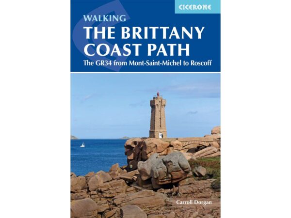
About the Sentier des Douaniers

country
France
length
2106 km(1309 mi)
Type of trail
Long-distance
difficulty

Difficulty is highly personal. Be aware of the weather conditions as bad weather turns easier trails in difficult trails especially in the mountains.

Easy
accommodation

Lodging means a mix of hotels, hostels or AirBnB’s.

Lodging, Camping
Elevation gain
28000 m(91864 ft)
terrain
Coastal
remoteness
None of the time
Show more

The GR34 hiking trail, also known as the “Sentier des douaniers’ Path,” is a renowned long-distance walking route that traces the Brittany coastline in France. Originally established in the 18th century for customs officers to patrol for smuggling activities, this historic path has since been transformed into a scenic hiking trail, offering an immersive experience of Brittany’s rugged landscapes, maritime heritage, and cultural richness.

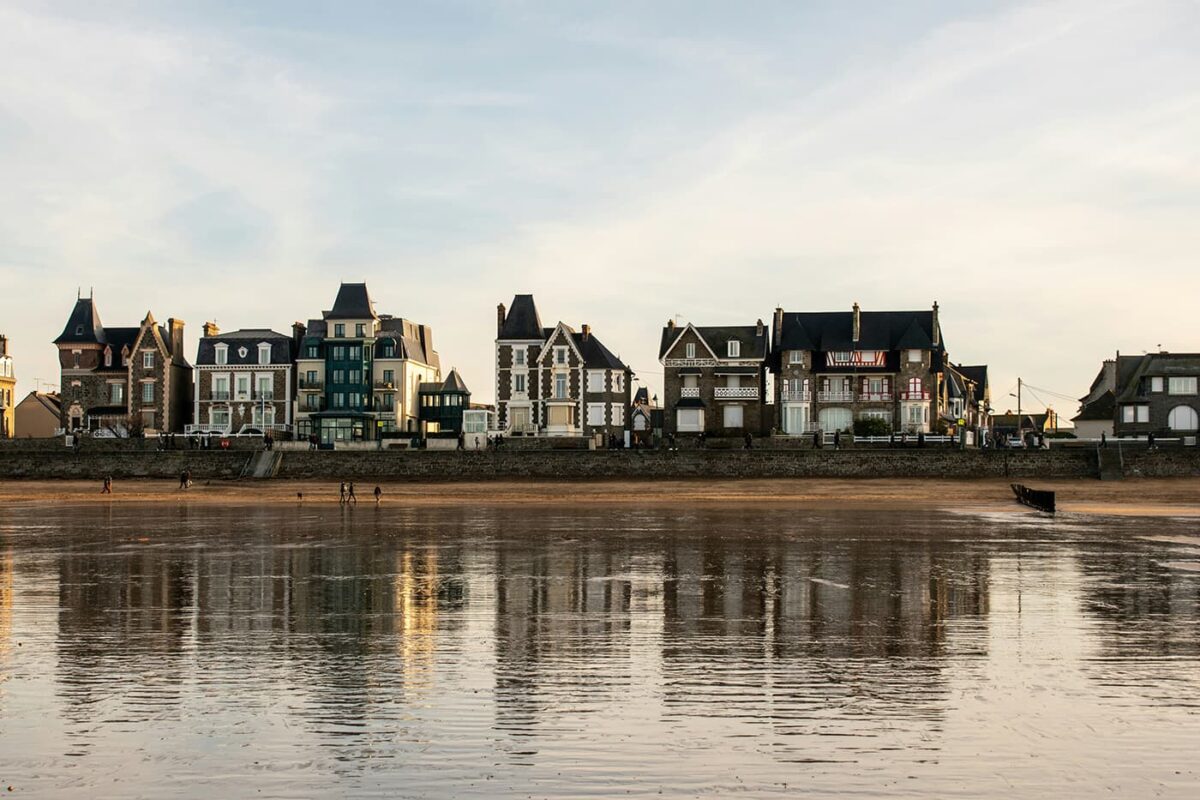
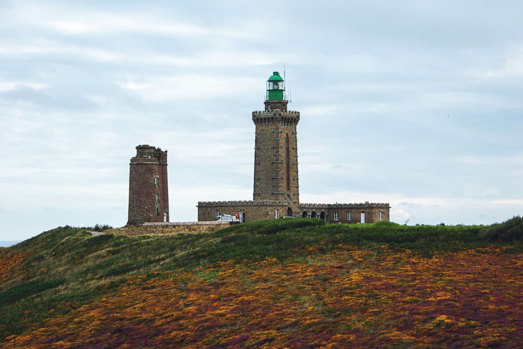
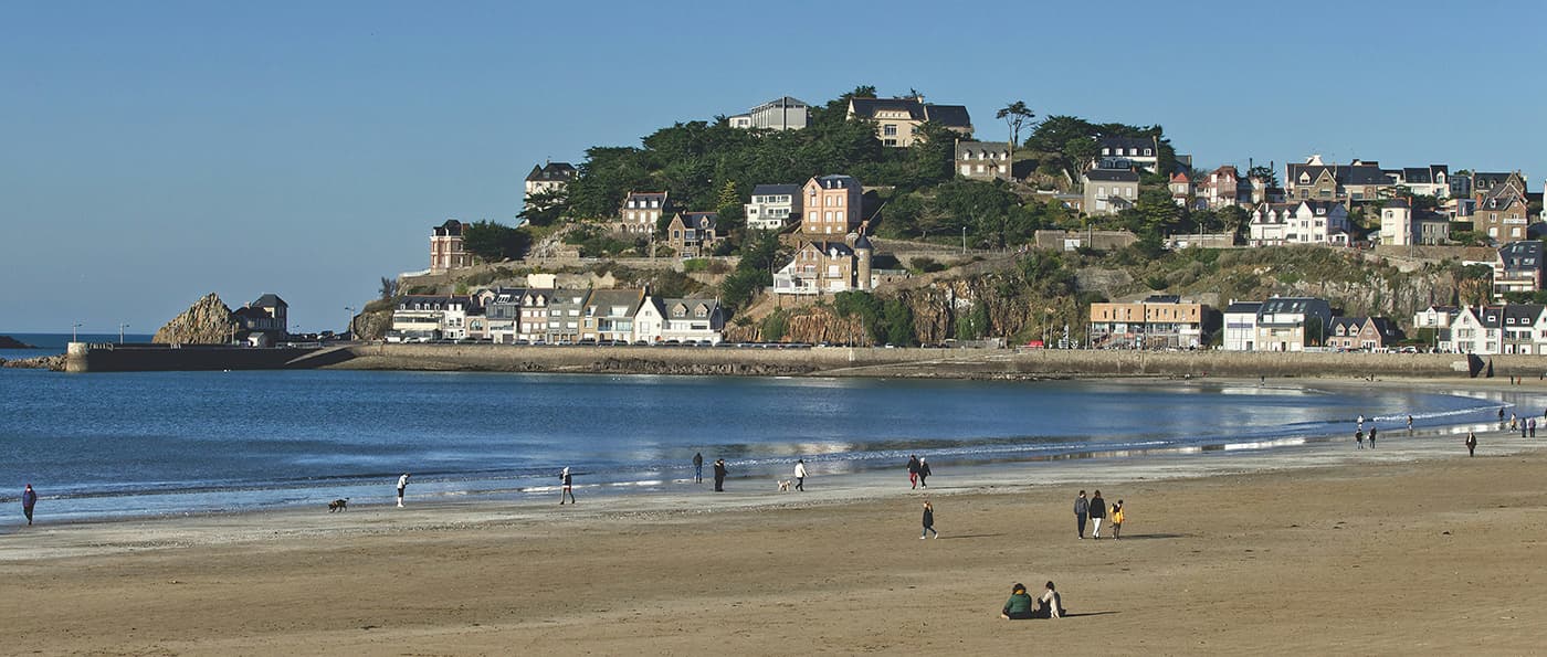
Spanning approximately 2,000 kilometers, the GR34 begins at the picturesque village of Mont-Saint-Michel, a UNESCO World Heritage Site, and meanders westward towards Saint-Nazaire. Along its route, hikers are treated to a diverse array of landscapes, including sweeping sandy beaches, dramatic cliffs, serene estuaries, and quaint fishing villages.

Hadrien and Lisa profile picture

Hadrien & Lisa

Hadrien and Lisa weren’t born in the mountains, as they respectively come from Brittany (France) and Belgium, and live in the Netherlands. Nevertheless, over the past 10 years, they gradually gained experience and knowledge each year, ultimately leading them to Thru-hike the French Alps and the Pyrenees, as well as doing the Camino twice! You can follow Hadrien and Lisa on Instagram @the.wild.dukes

View profile

The Trail

You’ll discover the variety of landscapes Britanny has, from beginning to end. Even though the first official section of the trail was created in 1968, the GR34 largely follows the old customs officers’ paths. Now you know why it’s called the Sentier des douaniers.

These paths, abandoned during the first half of the 20th century, allowed customs officers to patrol along the coasts to prevent smuggling. As you hike the Sentier des douaniers, the sea never leaves your eyes, between wild coves, steep cliffs, fine sandy beaches, and picturesque ports, discover one of the French’s beloved GRs (elected as “most favorite” in 2018).

Even though Britanny is not a large area, its coastal path is pretty jagged – particularly on the North and West coasts. This, with the roads that run slightly inland, will pile up numerous kilometers following the coast!

Such a jagged coast has both good and challenging aspects. The good part is that you’ll never be so far from potential accommodations (campsites, B&B, hotels) or public transportation. Additionally, if you require to, some days will be easy to shorten by hiking on rural roads. Finally, for the same reason, it is an easy trail to section-hike.

However, because the Northern and Western coasts are very jagged, that also means that you are likely to accumulate a massive amount of ascent and descent per day. Indeed, even though the highest point of the trail is about 128m high, the total cumulative gain is about 28,000m. This means that you will, in some sections, pile up about 1000m elevation consisting of multiple steep climbs over wooden and irregular stairs.

The trail walks you through numerous notorious cities (Saint-Malo, Saint-Brieuc, Brest, Lorient, and Vannes to name a few), the famous Mont-Saint-Michel, breathtaking view (along the pink granite coast, the Morbihan Gulf and its thousand islands, the Crozon peninsula…), countless lighthouses, hidden beaches as well as never-ending ones.

Of course, when hiking the GR34, do not forget to try the culinary specialties of Britanny, among which both the crunchiness and the mellowness of the Kouig-Ammann, the famous oysters from Cancale, buckwheat pancakes with a jug of local cider, or a heavenly crêpe topped with salted butter caramel that will melt your heart at the end of a challenging hiking day.

Stages

Because of the length of the trail, it’s hard to delineate specific stages for this trail. You have a lot of power in defining your stages based on your preferences. Luckily, there are myriad places to sleep along the trail as you walk along the bay, so you can choose each day what you feel up for.

When you go to the official Brittany tourism website, you’ll see a map of the sections. You can click on each section for a separate page of information about what you can expect.

Accommodations

From one section to another, finding accommodation on the GR34 can be a bit of a challenge.
The French Hiking Federation guidebooks, combined with your lovely web search, and the links displayed in “useful link” will help you plan properly.

Because wild camping on the Sentier des douaniers is strictly forbidden, finding accommodation is mandatory. Hiking the entire GR34 thus requires proper planning (and possibly booking, particularly in the summer months and around the May bank holidays).

Not all accommodations are open all year round, which might add to the challenge.

Best time of the year

In theory, the GR34 can be hiked for the whole year. However, the best time of the year to hike the GR34 is undoubtedly in May to October. As you’re hiking on the coast be aware that there might be windy showers on one day, and a warm day the next day. Spring, summer, and autumn in that sense are the most appropriate months for the GR34, combined with more accommodations available.

Keep in mind that the weather can change rapidly, and it’s essential to be prepared for various conditions, including sudden rain. Always check trail conditions, and local weather forecasts before embarking on the trail. Additionally, consider your hiking experience and skill level, as some trails closest to the shore and cliffs can be challenging and require proper equipment and experience.

Safety & Gear

As you plan your hike, conduct thorough research on the trail. This includes assessing factors such as trail difficulty, length, elevation gain, and terrain and putting them into the context of your abilities.

Share your plans with family or friends, including details like your start and end dates, your route, and emergency contact information.

Use weather apps and ask locals to stay informed about the weather conditions in the area where you intend to hike. Avoid heading out during severe weather conditions, including heavy rainfall, fog, or extreme heat, as these can pose significant risks to your safety.

Pack enough water and snacks to maintain energy levels and prevent dehydration and exhaustion. Bring at least two liters of water with you. Additionally, please familiarize yourself with the trail map and carry navigation tools such as a compass or GPX device.

Invest in the right hiking gear, including comfortable, supportive footwear, proper hiking clothing, such as warm base layers and a hardshell rain jacket, hiking poles, a well-fitted backpack, and essential equipment like maps, GPX devices (when needed), and a first-aid kit. Check out our comprehensive gear list for long-distance trails like this.

Respect the principles of Leave No Trace by minimizing your impact on the environment. Stick to designated trails, pack out all trash, and show respect for wildlife and natural habitats.

Good to know

Note that wild camping on the GR34 is strictly forbidden, as it is on the whole French coast.

Route
Point to point
Highest point
128m (420 ft)

Guidebooks

cover guidebook

Brittany coast path (northern part of the trail)

View guidebook

Want to submit a trail or make this page more complete?

Comments

Be the first one to comment on this trail!

Reply to this trail

Your email address will not be published. Required fields are marked *

Reply to this trail

Log in to comment on this trail
Always read the disclaimer

Terms of Use: important to all visitors on this website. We strive to publish high quality content and information on this website. However it’s always possible that we’re missing out on some crucial information. In spite of the fact that this route, associated GPS track (GPX and maps) were prepared under diligent research by the specified contributor and/or contributors, the accuracy of such and judgement of the author is not guaranteed. Therefore, hiking-trails.com and contributors are in no way liable for personal injury, damage to personal property, or any other such situation that might happen to individuals hiking or following this route. Should you choose to hike this trail, this is always at your own risk. Check out our guidelines for safety hiking and Leave No Trace principles at the hiking 101 page.

Download GPX

Join the community!

Login or create a FREE account 😊

With an account you can:

Download GPX files

Pin trails to your wishlist

Mark trails as hiked by you

Rate hiking trails

Comment on trails, blogs and gear reviews

Happy trails!
Login

Don't have an account yet? Register here