About the Schluchtensteig

country
Germany
length
119 km(74 mi)
Type of trail
Long-distance
difficulty

Difficulty is highly personal. Be aware of the weather conditions as bad weather turns easier trails in difficult trails especially in the mountains.

Moderate
accommodation

Lodging means a mix of hotels, hostels or AirBnB’s.

Lodging, Camping
Elevation gain
3180 m(10433 ft)
terrain
Forest, Hills
remoteness
Most of the time
Show more

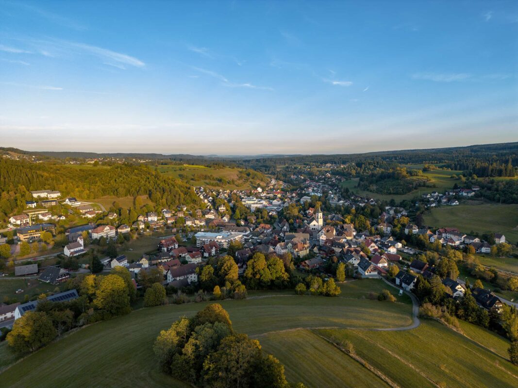
The Schluchtensteig trail, in the heart of Germany’s Black Forest or Schwarzwald, offers a perfect hiking experience for beginning and experienced long-distance hikers. Approximately 119 kilometers, this trail weaves through the beautiful landscape of the Black Forest, presenting you with a unique blend of nature and culture in Germany’s Baden-Württemberg region.

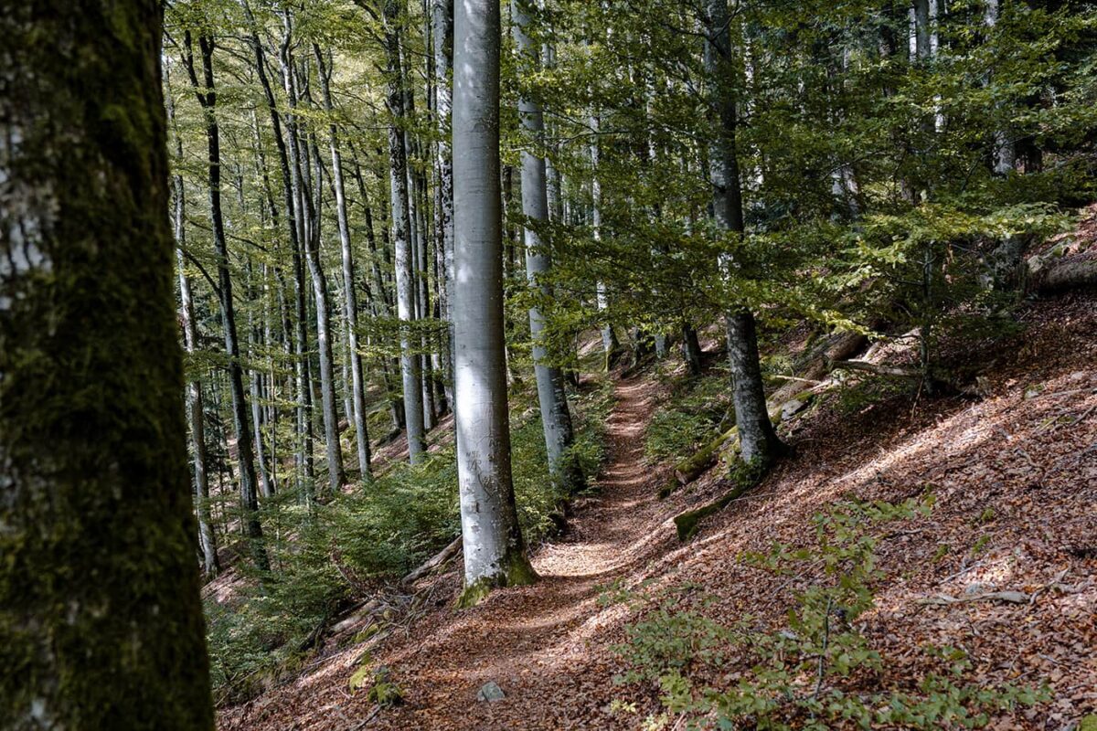
The Black Forest is the largest forested area in Germany and is primarily composed of pine and spruce trees. Over half of all tree and plant species found in Germany can be found here, with around 1,200 different kinds. It is a medium-altitude mountain range, with peaks between 500 and 1,500 meters, located in the far southwest of Germany, connected to the Alps and bordering France and Switzerland. With over 24,000 (!) kilometers of hiking trails, this area is a paradise.

Editor

Elmar Teegelbeckers

Passionate hiker Elmar spends months of his time on the trail. He’s usually on the lookout for hidden gems in one of his favourite countries such as Slovenia, Switzerland and Japan. He founded hiking-trails.com in need for a community and detailed information about the trails. Before this, he worked for the Alpine asscociation in the Netherlands[ (NKBV) but lost his heart to the trails.

With this website and socials, he hopes to shape an inclusive community for hikers all over world. No matter your speed, experience or level, you can get out there to enjoy the trails and connect with the heartwarming hiking community. Life is so much better outside and he hopes to inspire hikers to take their first, or next, step on the trail.

View profile

The Trail

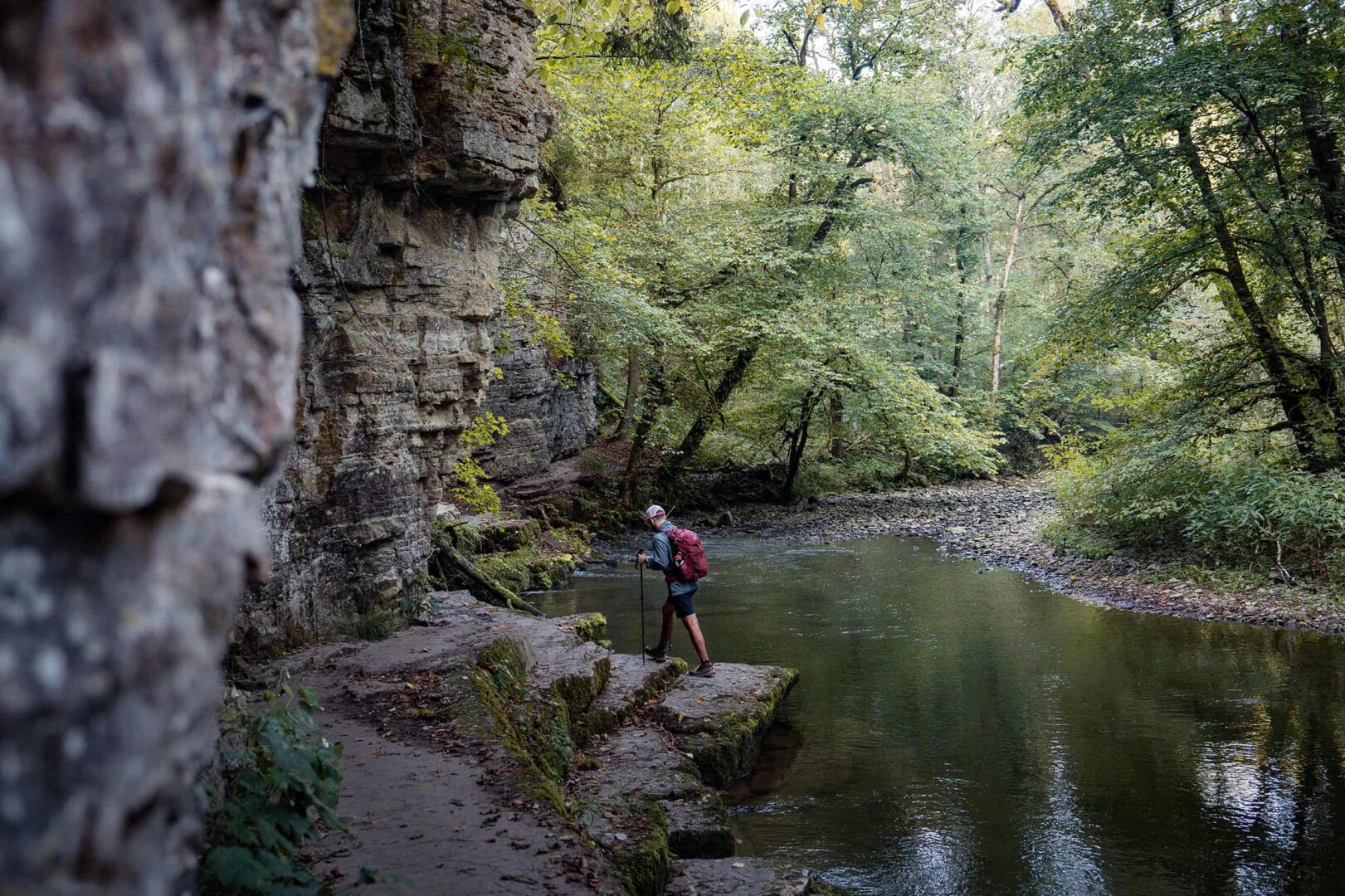
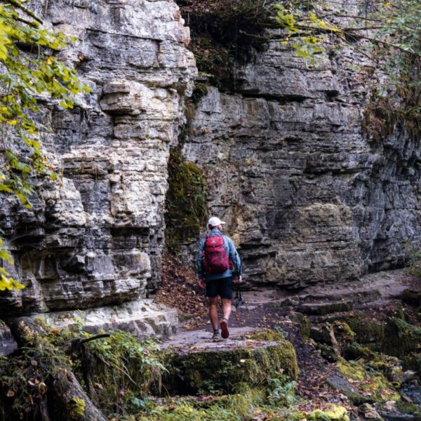
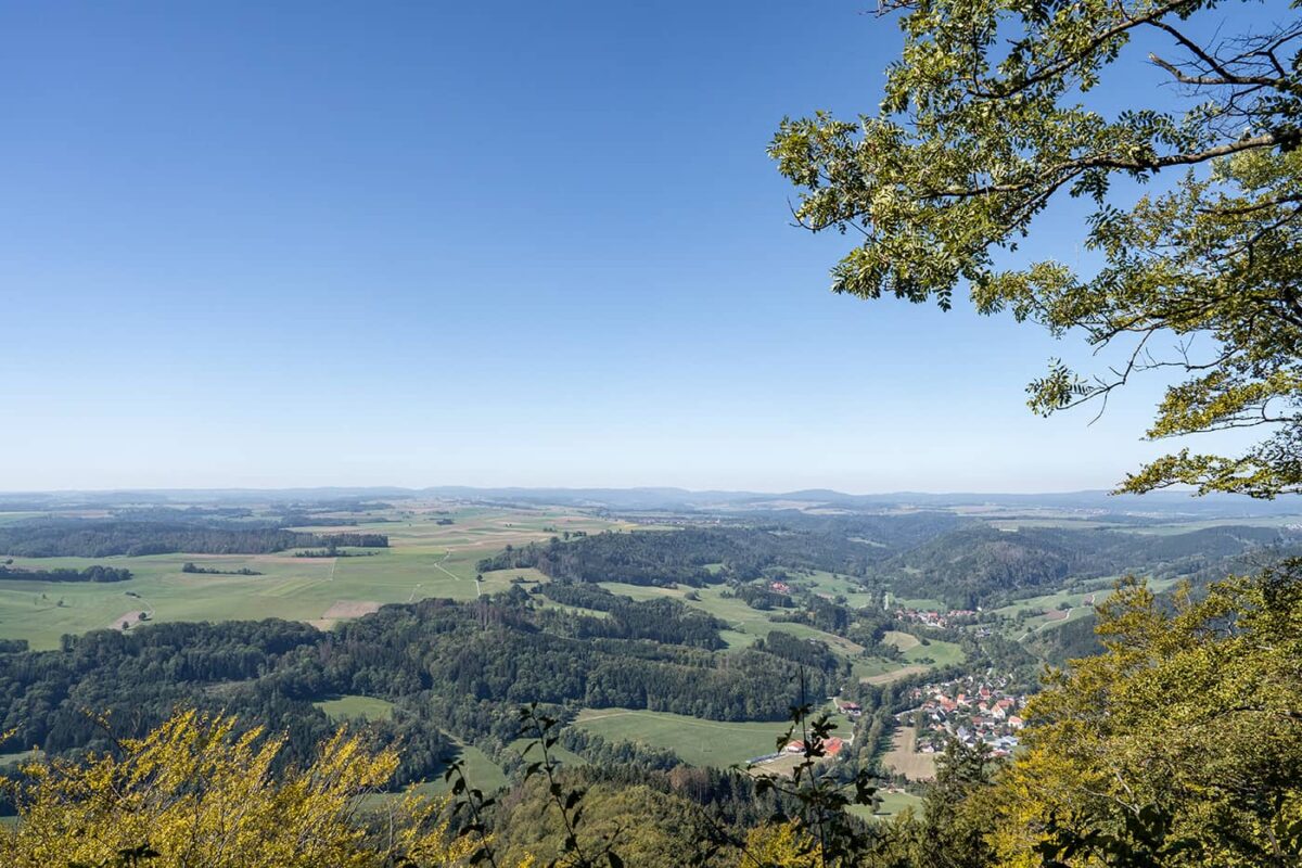
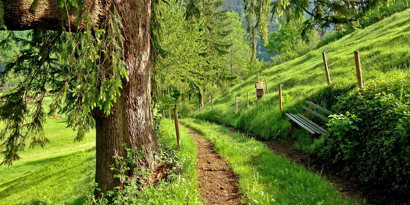
On the trail, you’ll hike through dense forests alongside lakes such as the Schluchsee and will cross waterfalls. The path leads through some of the most stunning gorges in the region, including the Wutachschlucht, known as the Grand Canyon of the Black Forest, which is well known for its dramatic cliffs and lush vegetation. At some higher points, you may even see the 4000-meter-high mountain peaks in Switzerland.

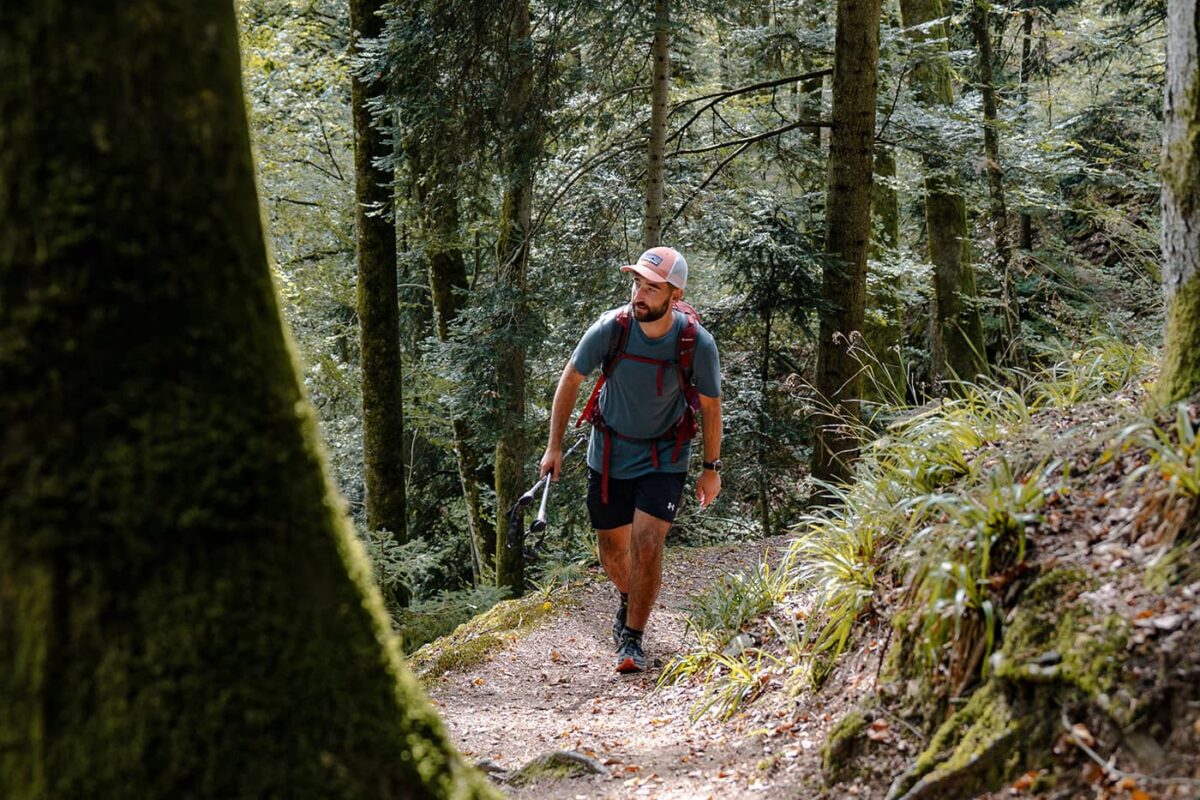
The trail is well-marked, providing a safe and enjoyable trek for hikers of all skill levels. Along the way, the many rest areas and viewpoints offer opportunities to pause and rest. For those seeking a deeper connection with the environment, the Schluchtensteig trail intersects with various educational paths, providing insights into the local flora, fauna, and geology.

Accommodations and culinary delights are plentiful along the Schluchtensteig, ranging from cozy hotels to traditional Black Forest guesthouses. These accommodations not only offer rest but also a taste of the region’s culinary traditions.

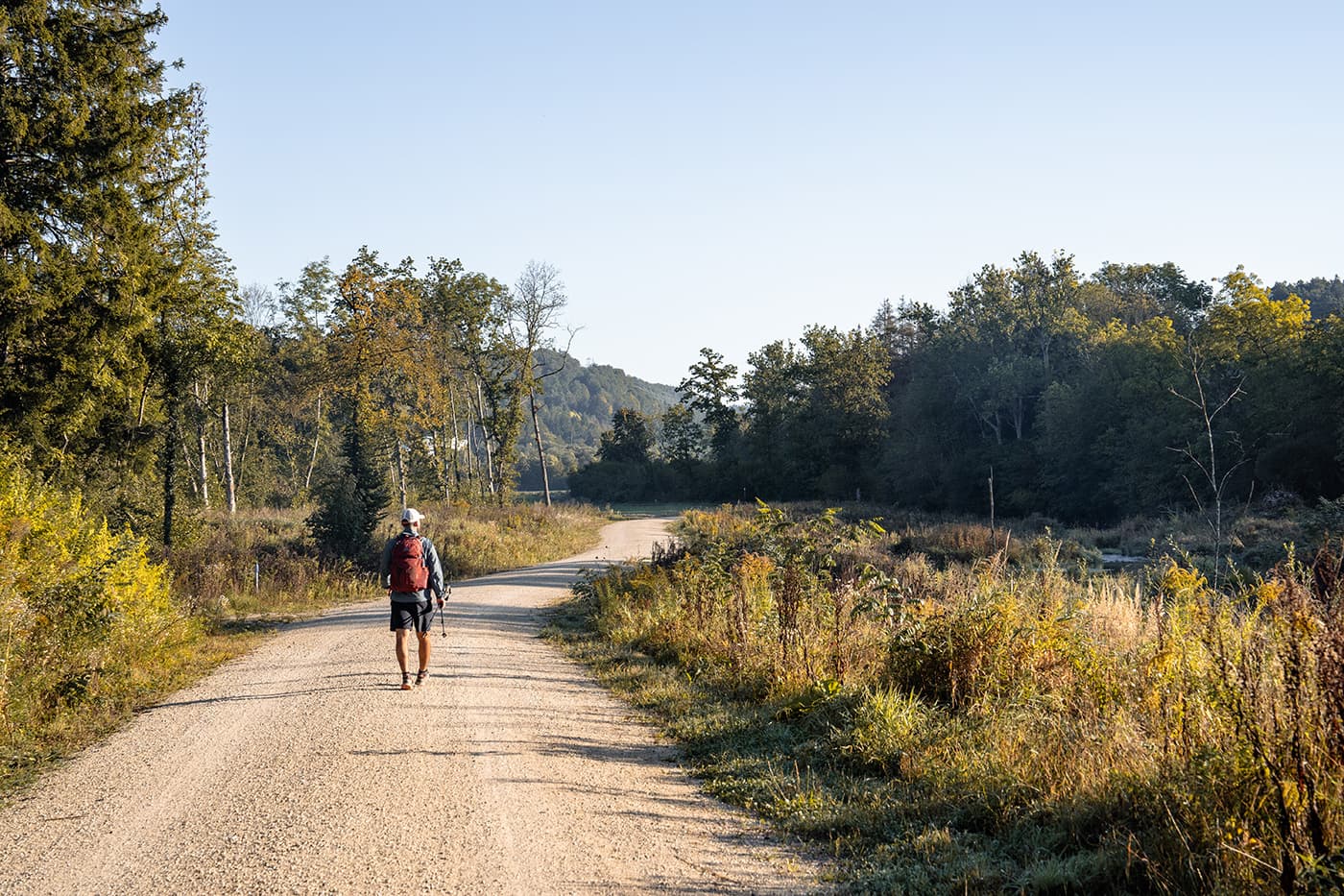
The Schluchtensteig trail is a perfect trail for those who like to hike in the forest and a perfect trail for beginning long-distance hikers.

Stages

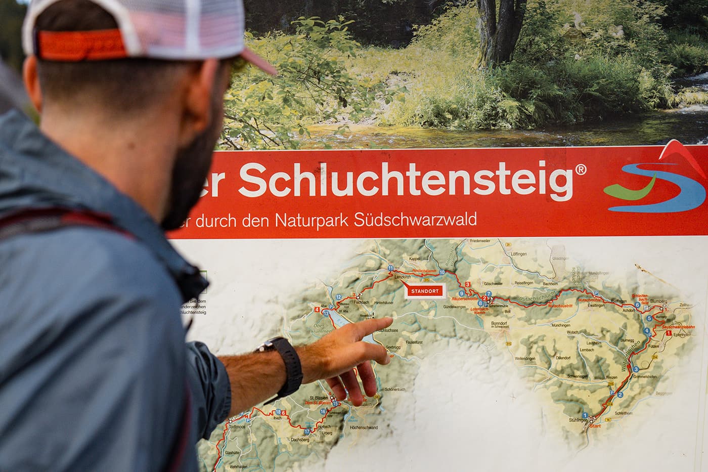
You can hike the Schluchtensteig in 5 or 6 stages depending on your preference.

The Schluchtensteig in 5 stages:

Stage 1: Stühlingen – Wutachmühle, 26km | 16 miles, 7.5h
Stage 2: Wutachmühle – Lenzkirch, 26km | 16 mi (7.5h)
Stage 3: Lenzkirch – St. Blasien, 25km | 15.5 mi (7.5h)
Stage 4: St. Blasien – Todtmoos, 20km | 12 mi (5.5h)
Stage 5: Todtmoos – Wehr, 22km | 14 mi (6.5h)

The Schluchtensteig in 6 stages:

Stage 1: Stühlingen – Blumberg, 19km | 12 mi (5.5h)
Stage 2: Blumberg – Schattenmühle, 20km | 12 mi (6h)
Stage 3: Schattenmühle – Fischbach, 18km | 11 mi (6h)
Stage 4: Schluchsee-Fischbach – St. Blasien, 20km | 12 mi (5.5h)
Stage 5: St. Blasien – Todtmoos, 20km | 12 mi (6h)
Stage 6: Todtmoos – Wehr, 22km | 14 mi (7.5h)

Accommodations

On the Schuchtensteig, you can choose between camping or accommodations such as guesthouses and hotels. Every stage ends at a village so it’s quite easy to book your stay there. Many guest houses also serve regional cuisines like the local specialties such as Black Forest ham and the famous Black Forest cake.

Also, several campsites are located near the trail but not alongside the trail. These sites offer basic amenities and are ideal for those who prefer to hike with a tent. On this page, you can find more about the camping places near the Schluchtensteig.

Best time of the year

The best time to hike the Schluchtensteig trail in the Black Forest is from late spring to early autumn, specifically between May and October. During these months, the weather is best for hiking, with warmer temperatures and longer daylight hours. Note that the Schluchtensteig is often packed with snow during the winter months.

Safety & Gear

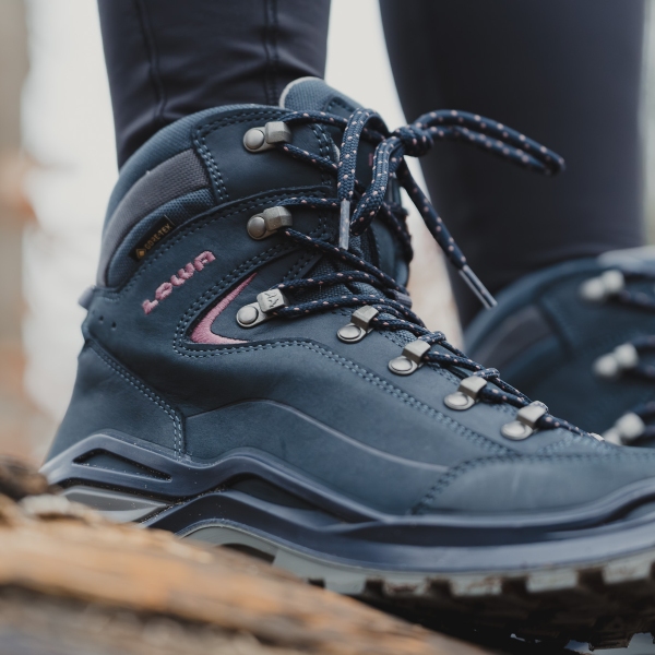
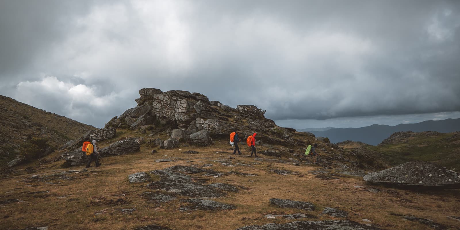
Always bring your essentials for a safe trail experience, like shoes with enough grip, especially when it rains and the paths are slippery. Bring your layers, at least a baselayer, mid-layer, and a hardshell rain jacket for occasional rain showers. Take enough water and food with you and always put the GPX on your mobile phone.

Good to know

The Schluchtensteig is a great hike for beginner long-distance hikers or if you want to get away from it all for a week. The paths are well-marked and not too technical. There are enough facilities along the way and you will meet some other hikers. It offers a nice mix of tranquility and sociability on the trail. Be sure to bring good rain gear, as the weather can change quickly, and book your sleeping accommodations in advance. There aren’t too many accommodations in the villages.

Route
Point to point
Highest point
1159M (3802 FT)

Want to submit a trail or make this page more complete?

Comments

Be the first one to comment on this trail!

Reply to this trail

Your email address will not be published. Required fields are marked *

Reply to this trail

Log in to comment on this trail
Always read the disclaimer

Terms of Use: important to all visitors on this website. We strive to publish high quality content and information on this website. However it’s always possible that we’re missing out on some crucial information. In spite of the fact that this route, associated GPS track (GPX and maps) were prepared under diligent research by the specified contributor and/or contributors, the accuracy of such and judgement of the author is not guaranteed. Therefore, hiking-trails.com and contributors are in no way liable for personal injury, damage to personal property, or any other such situation that might happen to individuals hiking or following this route. Should you choose to hike this trail, this is always at your own risk. Check out our guidelines for safety hiking and Leave No Trace principles at the hiking 101 page.

Download GPX

Join the community!

Login or create a FREE account 😊

With an account you can:

Download GPX files

Pin trails to your wishlist

Mark trails as hiked by you

Rate hiking trails

Comment on trails, blogs and gear reviews

Happy trails!
Login

Don't have an account yet? Register here