About the Salento Trail

country
Italy
length
115 km(71 mi)
Type of trail
Long-distance, Pilgrimage
difficulty

Difficulty is highly personal. Be aware of the weather conditions as bad weather turns easier trails in difficult trails especially in the mountains.

Easy
accommodation

Lodging means a mix of hotels, hostels or AirBnB’s.

Lodging, Camping
Elevation gain
1500 m(4921 ft)
terrain
Flat, Coastal
remoteness
Most of the time
Show more

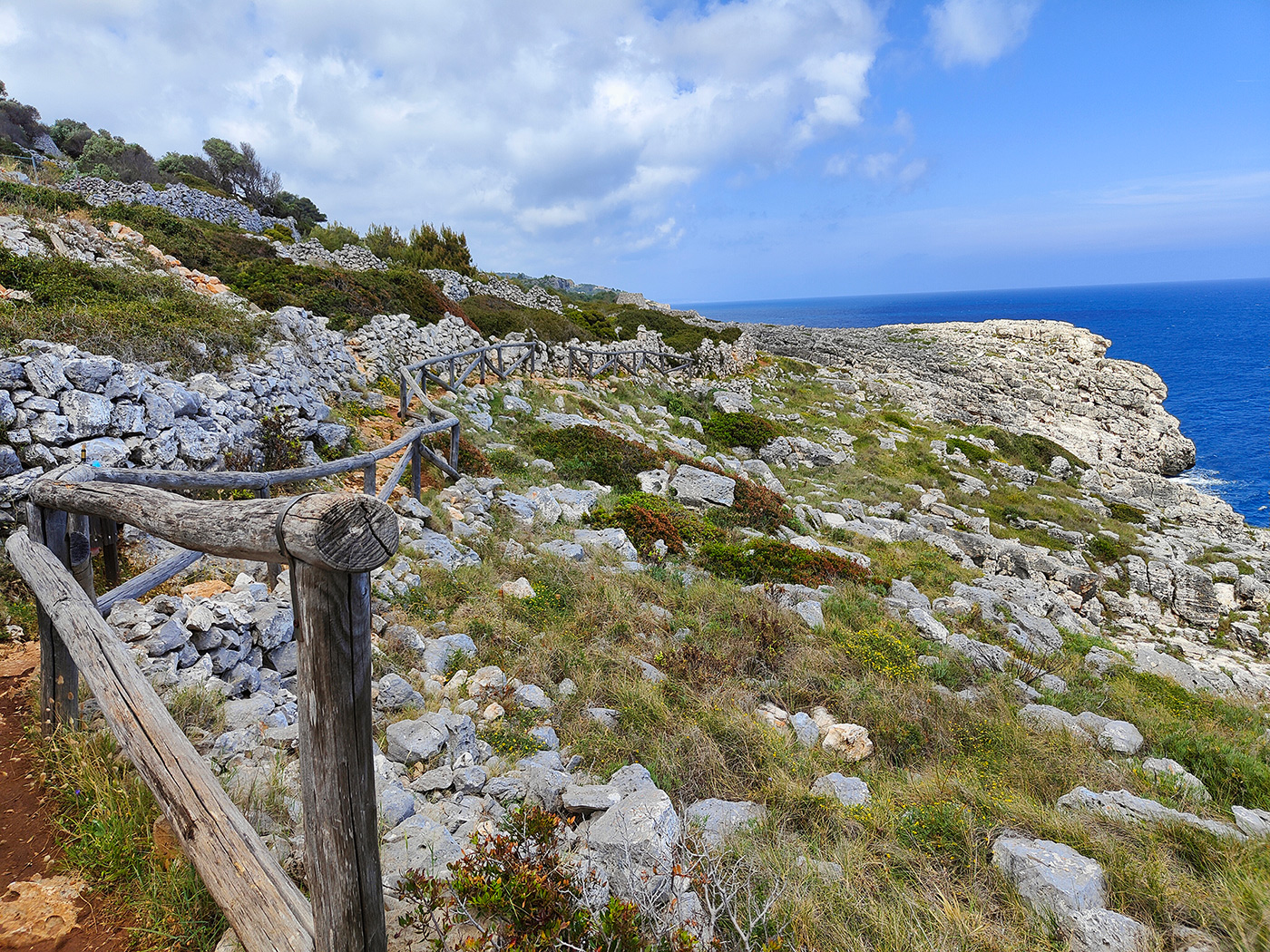
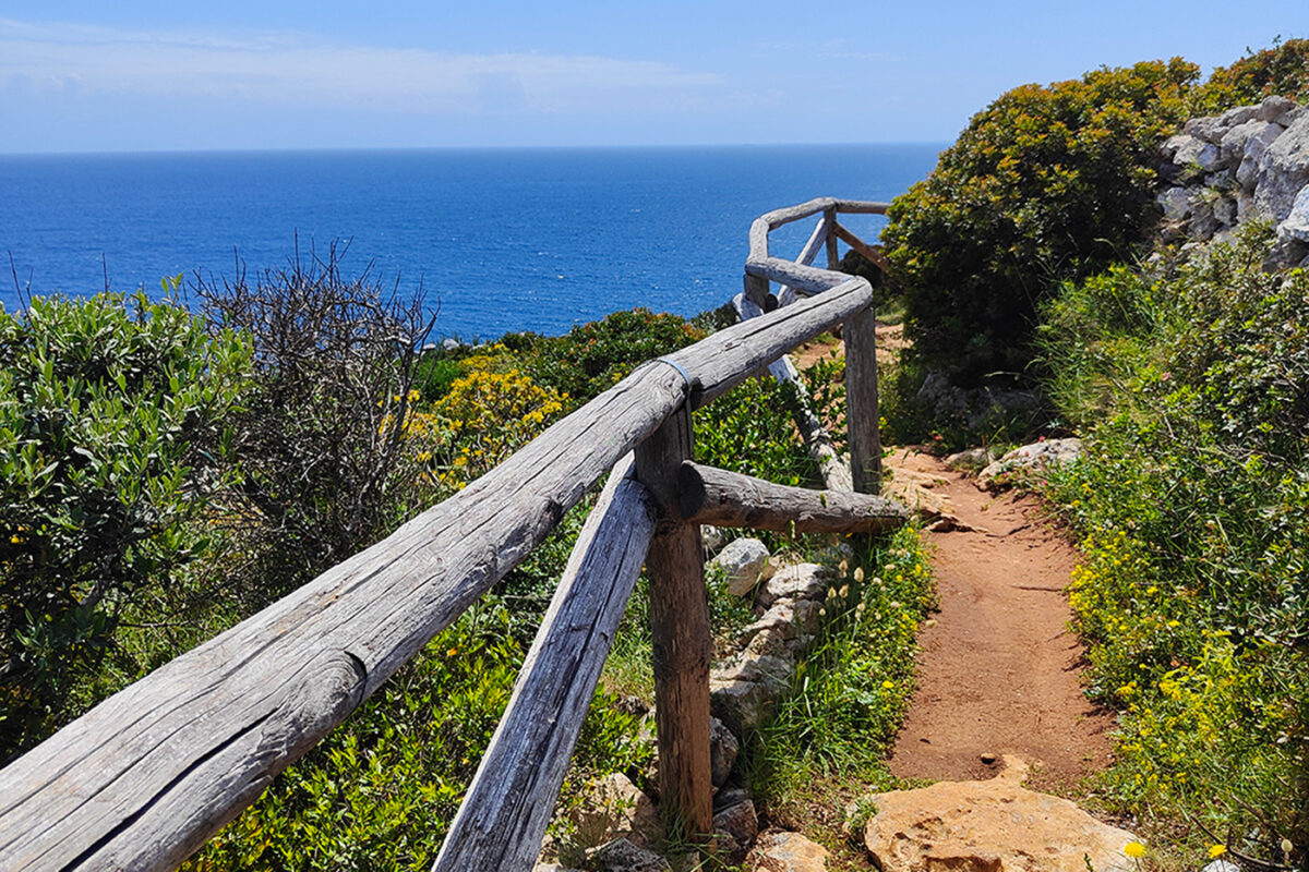
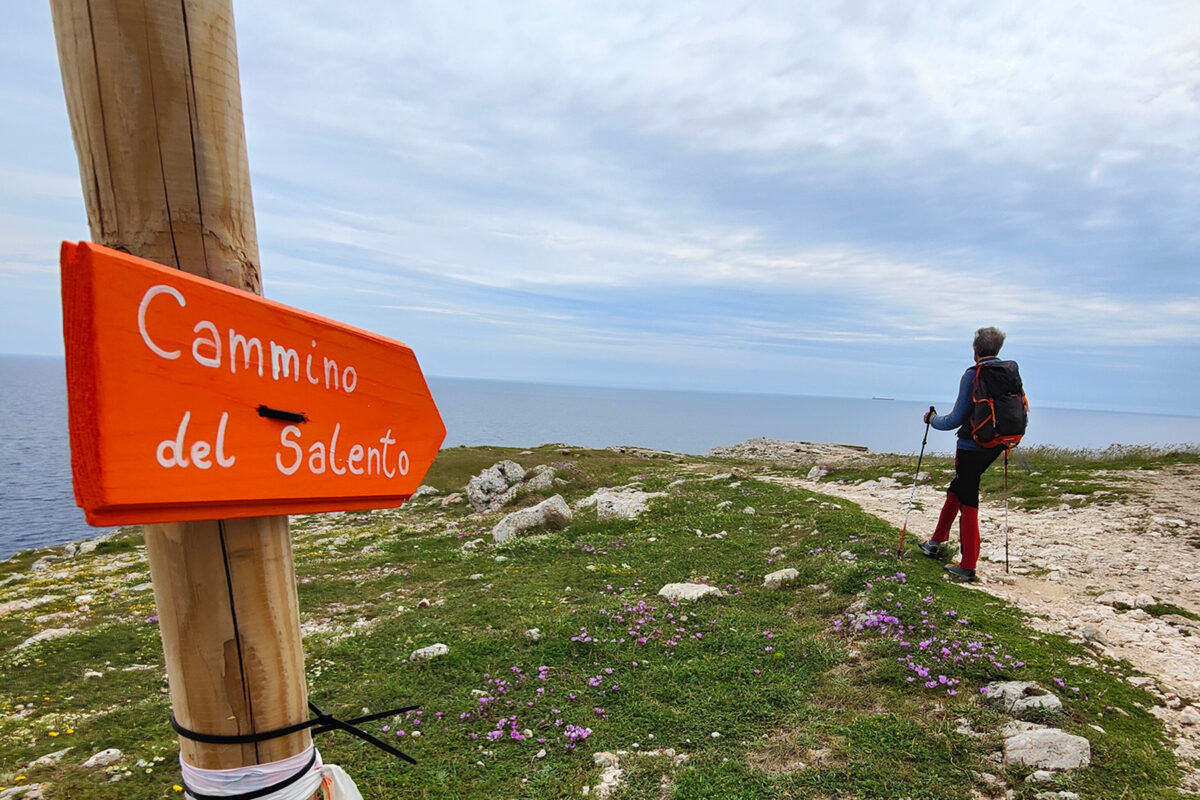
The Salento Trail is an easy route, suitable for those approaching the world of long-distance trails for the first time. The itinerary takes in dirt roads, little-used asphalt roads, beaches, and a few paths. Some points on the cliff require a lack of vertigo. Along the route, there is a high presence of all kinds of accommodations, bars, restaurants, and hotels, so that sometimes you will not even need to bring your own lunch. A journey to be taken slowly, fully savoring the wonders this land has to offer: landscapes, history, and good food.

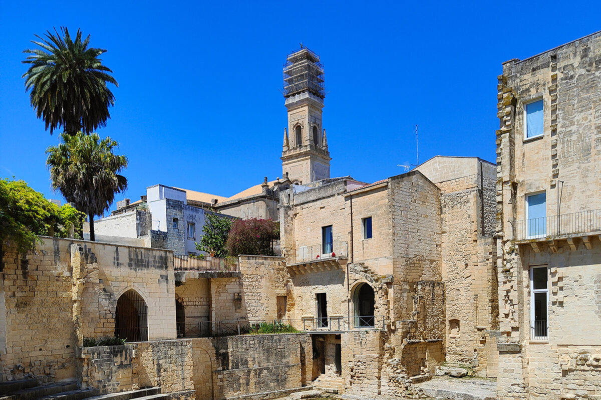
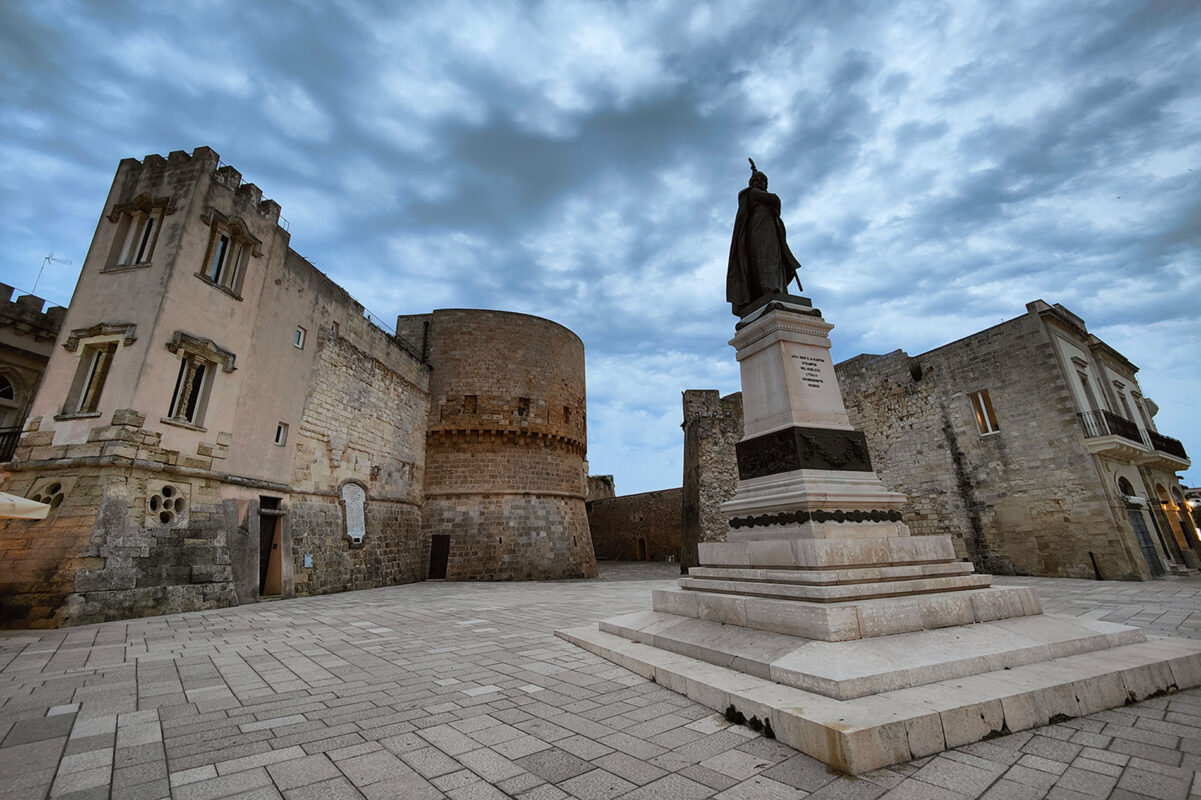
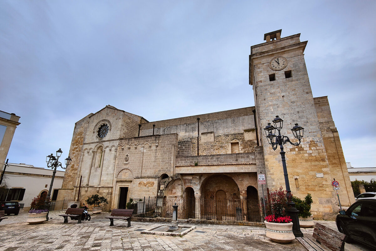
Whether you are a history buff or not, you cannot remain indifferent to the beauty of the cities. Both Lecce and Otranto deserve a full day’s visit. It is also impossible not to stop at the Aragonese castle of Castro, where the largest statue of Athena in existence is kept! Inland, many small structures similar to the famous trulli tell the rural history of the peninsula.

Elisa, profile picture
Author

Elisa Cortelazzo

Born in the city, I was always annoyed by the streets crowded with cars, the buildings that hid the sky, and the rush of people. I soon realized that my place was no longer in Padova but in the white rocks of the Dolomites. So I used to spend the week at the University of Forest Sciences, and the weekend exploring the trails of the Wight Mountains because I wanted to get to know them in all their nuances.

It was my parents who took me to the mountains from an early age. They took me to Val di Zoldo, in the winter with skis on my feet and in the summer to walk, but… I hated it! I was annoyed, all I did was ask, “How much longer?” But then I grew up, and I discovered that walking is essential for me. Scouting then taught me about the outdoors and the satisfaction of long treks in tents. The Italian Alpine Club made me discover mountaineering and the world outside Val di Zoldo. But walking was never enough for me, I was hungry for trails, views, and adventures. So I accumulated experience and kilometers, and in 2021 I realized a dream I had cradled for years: in 3 months I crossed the Alps on foot, from Finale Ligure to Trieste, alone and sleeping in a tent!

On this trip, I searched for my way in these mountains, until I realized that there is nothing that gives me greater joy than bringing people up here and watching their astonished expressions in front of so much beauty. So at the end of the trip, I took the course to become an Environmental Hiking Guide, and now I bring people up here, where falling in love is easy.

View profile

The Trail

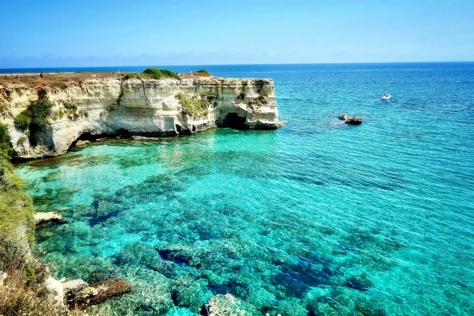
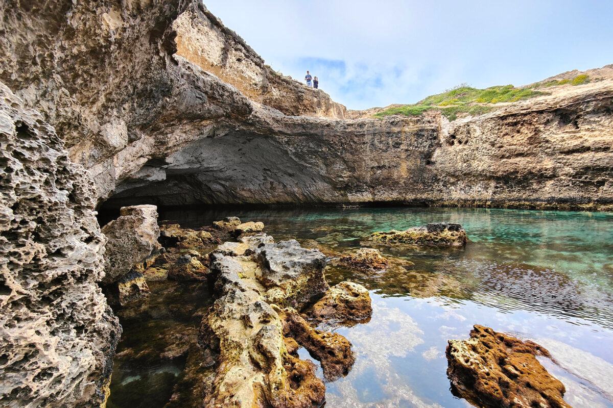
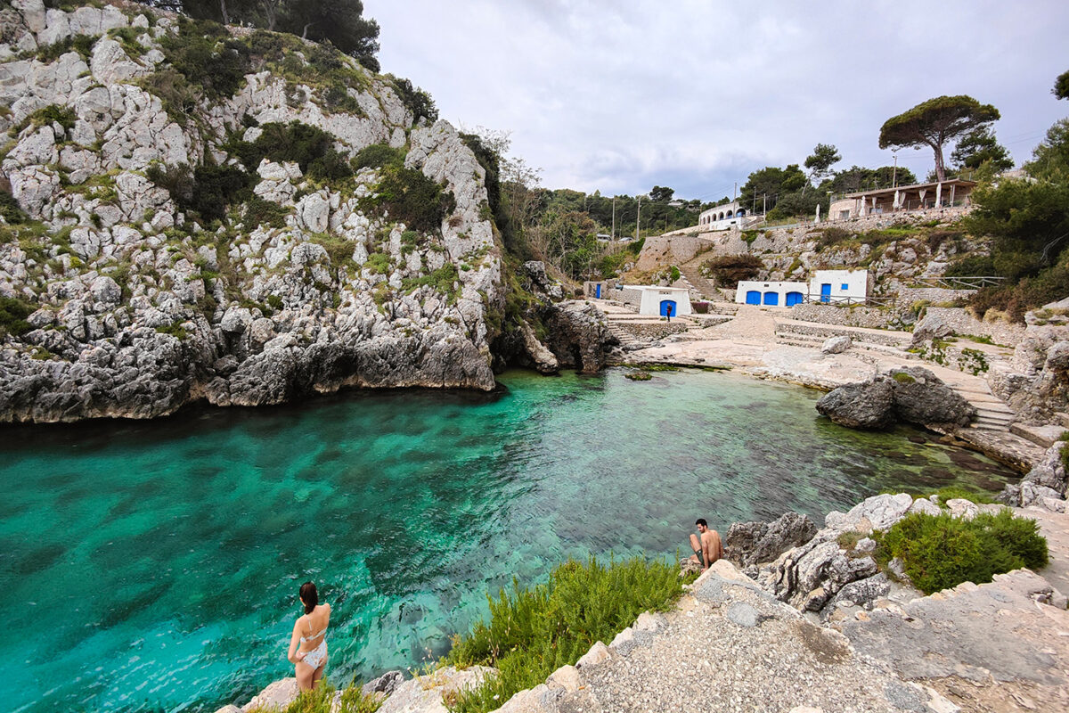
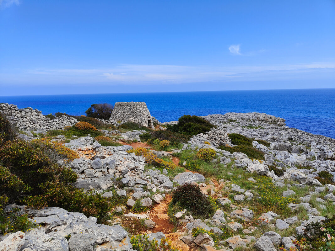
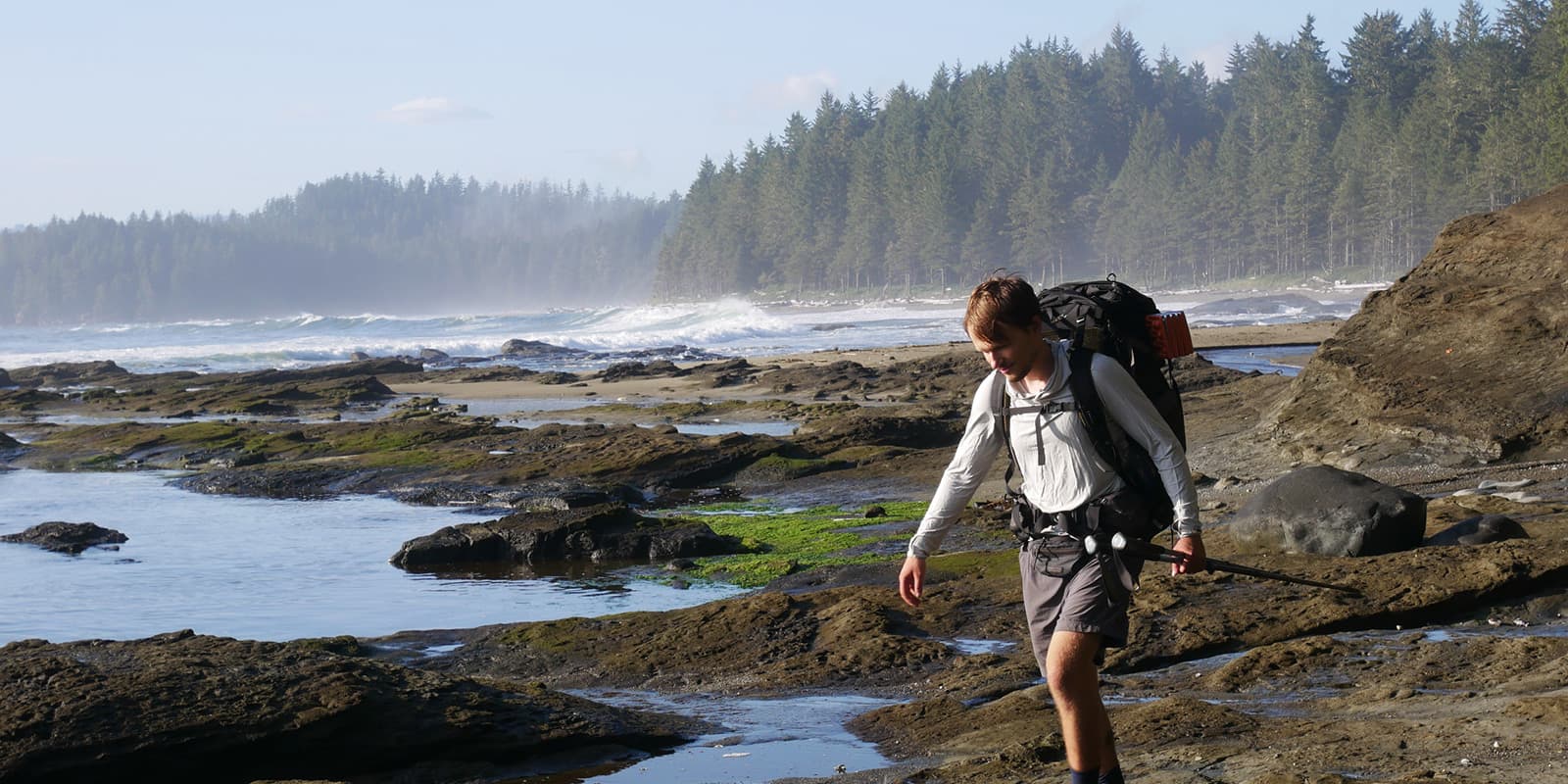
The Salento offers breathtaking landscapes, which even those who do not love the sea cannot fail to admire. Small beaches of fine sand, enclosed by vertiginous cliffs, crystal-clear waters, stacks, and natural bridges. The whole coast here is a spectacle of nature. If you go in May, the spectacle will be made even grander by the expanses of fields full of wildflowers, a true festival of colors! If you get caught up in the curiosity to explore all the caves, all the paths down to the sea, and all the cliffs along the way, you will hardly make it to the end of the stage! The scent of the sea and the sound of the waves will accompany you along the way, impossible to resist its call and not indulge in a dip every now and then.

The food of the Salento occupies a place of honor in the reasons for making this trip. If Italian cuisine is world-famous, you can find the best of the best here! Imagine walking all day among the beauty that Nature and Man have created, and ending the day enjoying a delicious seafood dish and a good wine, all for very little money. It is impossible to list all the delicacies this land produces. Try starting the day with pasticciotto and Lecce coffee, lunching on rustico leccese and ending with pittule!

Stages

The Salento Trail is divided into 5 stages, perfect for a week away on the coast. The stages all fall between 22-25 kilometers, perfect for a fun trail.

Stages of the Salento Trail

Stage 1:

Lecce – San Foca, 24.7km | 15 mi

Stage 2:

San Foca – Otranto, 23.9km | 14.8 mi

Stage 3:

Karerpass – Santa Cesarea Terme, 22km | 13.6 mi

Stage 4:

Santa Cesarea Terme – Marina Serra, 22.9km | 14.2 mi

Stage 5:

Marina Serra – Santa Maria di Leuca, 21.8km | 13.5 mi

Accommodations

There are numerous hotels, B&Bs, and campsites along the route. Consider that the Salento is a popular summer destination for Italians. If you are traveling in the summer months (June, July, August), all accommodations will be full and more expensive. Therefore you should book well in advance. On the other hand, in the low season months (October to April) you may have difficulty finding open accommodations. Camping is not allowed, but you can still trek in tents and use the equipped campsites.

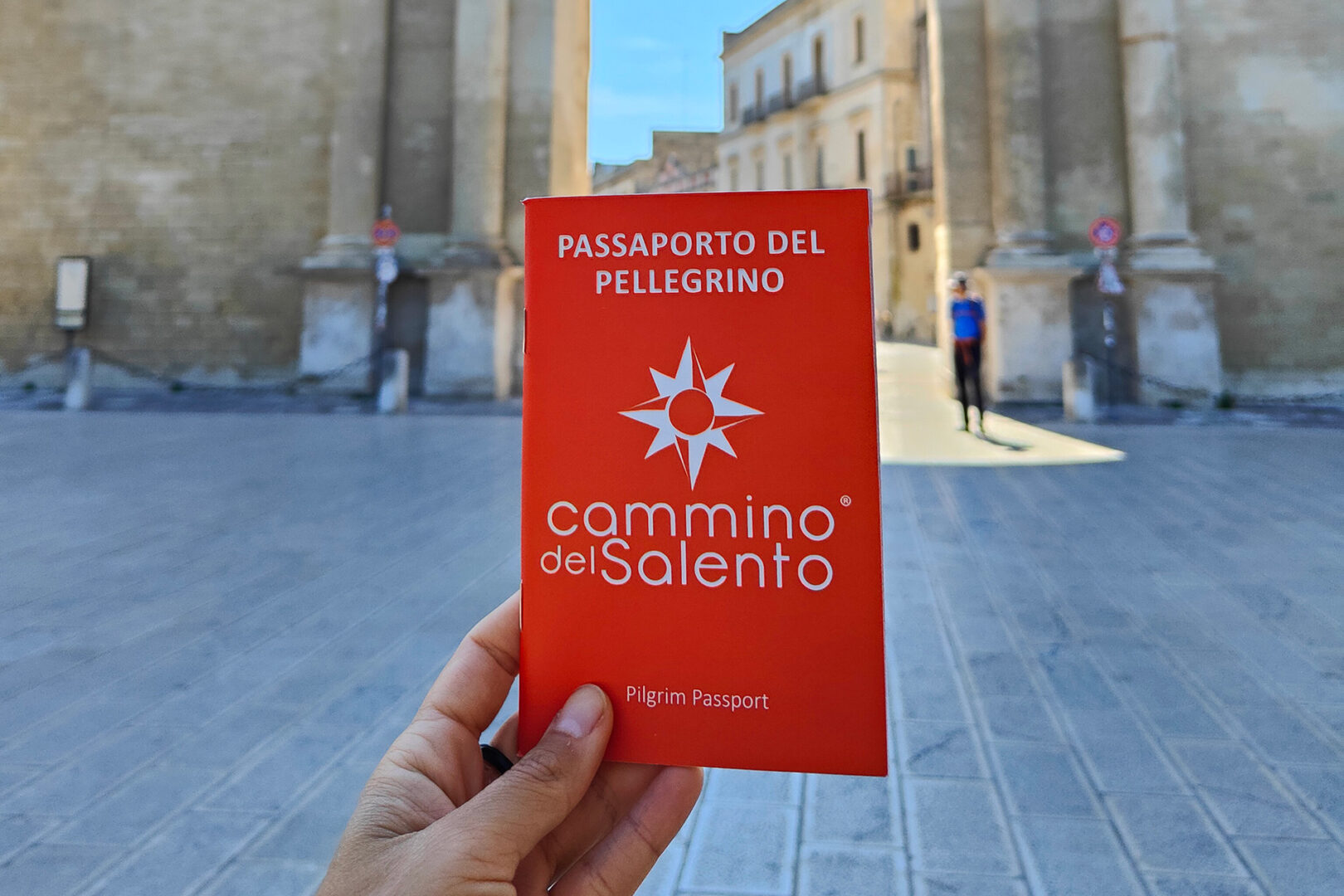
If you buy your pilgrim credentials on the official website, you will be sent a pilgrim’s passport at home. With this, you will be able to get a discount on participating accommodations.

Best time of the year

The best time is between April and May, perfect for lining the abundant blooms that color the coast. It is possible to make this trek all year round. However, I do not recommend the summer months, because the area is very crowded, prices are high and it is very hot.

Safety & Gear

No particular equipment is needed for this hike. Start with good hiking shoes, comfortable and cool, and use poles. Don’t forget to have plenty of sunscreen, a hat and your swimsuit for some swimming!

Use the GPS track provided by the association so you don’t get lost among the roads and paths that weave along the coast. You will often be tempted to follow some unmarked trails. Be careful, because sometimes they are old tracks that lead nowhere, and other times they suddenly end up on the cliff. Be especially careful in rainy weather to follow the exposed and slippery trails; prefer an inland road instead.

Good to know

By applying on the website for the pilgrim passport, you will receive a notebook at home where you can collect stamps along the trail. At the end of the journey, in Santa Maria di Leuca, you will get the pilgrim’s certificate. In addition, with the passport, you will be entitled to some discounts at participating hotels, campgrounds, and restaurants.

The route described here is only one of two possible ones. In fact, the Salento Way has two routes: the Sea Route and the Village Route. The one described here is the sea route, which is shorter and more scenic. You will find information about the other route on the official website.

Depending on the period, the trail can be very crowded in July and August, and quieter in the other months. There aren’t too many walkers, the frequenters of the area are tourists and beach lovers.

Route
Point to point

Want to submit a trail or make this page more complete?

Always read the disclaimer

Terms of Use: important to all visitors on this website. We strive to publish high quality content and information on this website. However it’s always possible that we’re missing out on some crucial information. In spite of the fact that this route, associated GPS track (GPX and maps) were prepared under diligent research by the specified contributor and/or contributors, the accuracy of such and judgement of the author is not guaranteed. Therefore, hiking-trails.com and contributors are in no way liable for personal injury, damage to personal property, or any other such situation that might happen to individuals hiking or following this route. Should you choose to hike this trail, this is always at your own risk. Check out our guidelines for safety hiking and Leave No Trace principles at the hiking 101 page.

Download GPX

Join the community!

Login or create a FREE account 😊

With an account you can:

Download GPX files

Pin trails to your wishlist

Mark trails as hiked by you

Rate hiking trails

Comment on trails, blogs and gear reviews

Happy trails!
Login

Don't have an account yet? Register here