About the Saastal Trekking

Alps
country
Switzerland
length
10 km(6 mi)
Type of trail
Day hike, Hut to hut
difficulty

Difficulty is highly personal. Be aware of the weather conditions as bad weather turns easier trails in difficult trails especially in the mountains.

Difficult
accommodation

Lodging means a mix of hotels, hostels or AirBnB’s.

Mountain huts
Elevation gain
703 m(2306 ft)
terrain
Mountains
remoteness
Some of the time
Show more

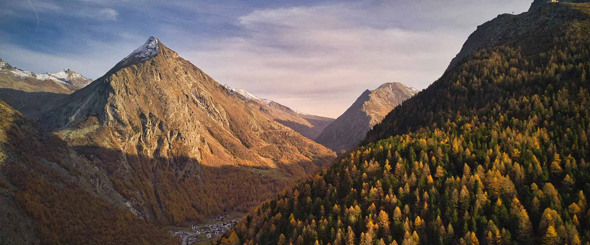
The Saastal Trekking is a 9.6-kilometer (6 mi.) hike, perfect for those who want to experience a night in a mountain hut in the Swiss Alps. In just two days you get to experience a varied and challenging hike with fantastic views over the Saas Valley and the Swiss mountains.

The crowning glory is an overnight stay in the cozy Almagelleralp Mountain Hotel and trying Swiss cuisine after a rewarding day. You’ll push yourself on the trails and have a chance to relax properly between stages. Perfect for a weekend trip!

Merle profile picture

Merle Wünderling

Merle is an outdoor enthusiast who’s passionate about hiking, rock climbing, mental health, and sustainability. Born in Germany but at home in the world, she’s hiked trails in New Zealand (Abel Tasman Coast Track, Kepler Track), Europe (Rota Vicentina/ Fishermen’s Trail, Tour du Mont Blanc, GR20 Corse, Kungsleden… ), and the Balkans (Peaks of the Balkans). Over the years she became a bit of a nerd, constantly improving her gear for upcoming hikes, such as GR11 Spain, Tour des Ecrins, Te Araroa, and the Transcaucasian Trail.

You can follow Merle on Instagram @merlewunderkind.

View profile

The Trail

On the first day, the adventure trail leads from Furggstalden to the Almagelleralp mountain hotel. Start the trek at the base of the chairlift in Saas-Almagell. You’ll take the lift to the top station in Furggstalden, which takes only a few minutes. From there, the hike heads north through the forest, around the Almagellerhorn, crossing secure cliff paths and two suspension bridges. These bridges, each about 50 meters long, are the trail’s main highlight and a great spot for photos. This hike requires good physical fitness, steady footing on rough terrain, and comfort with heights.

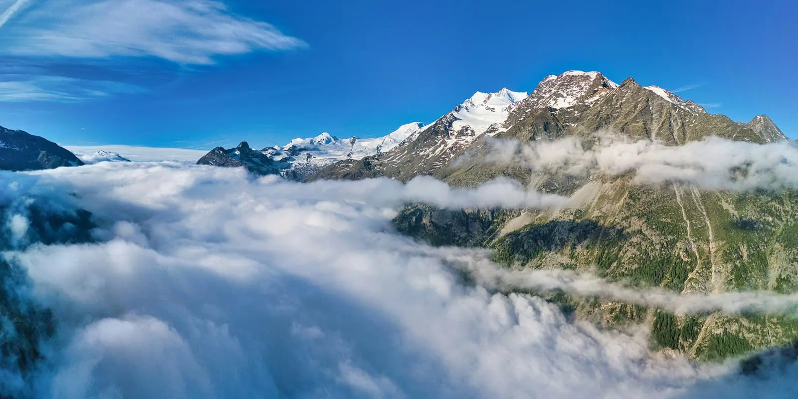
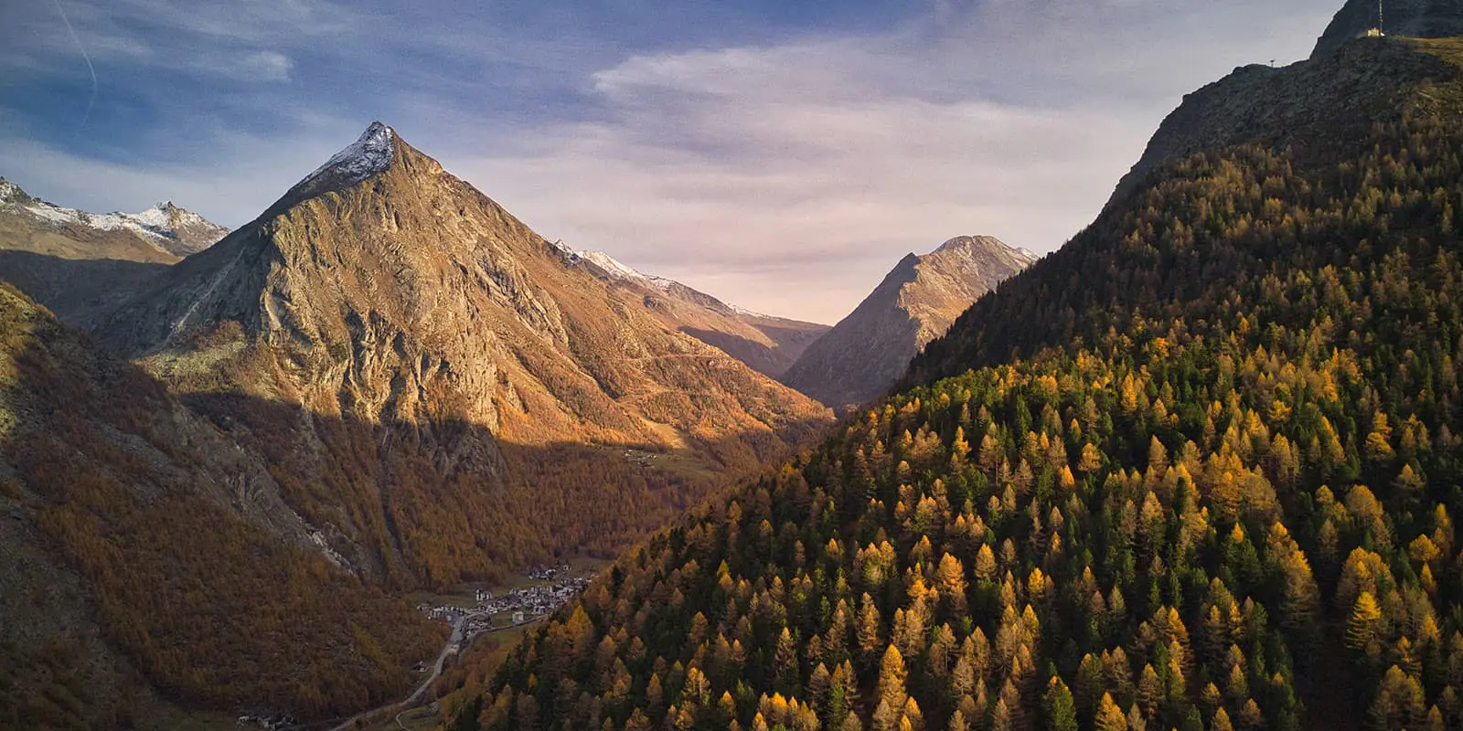
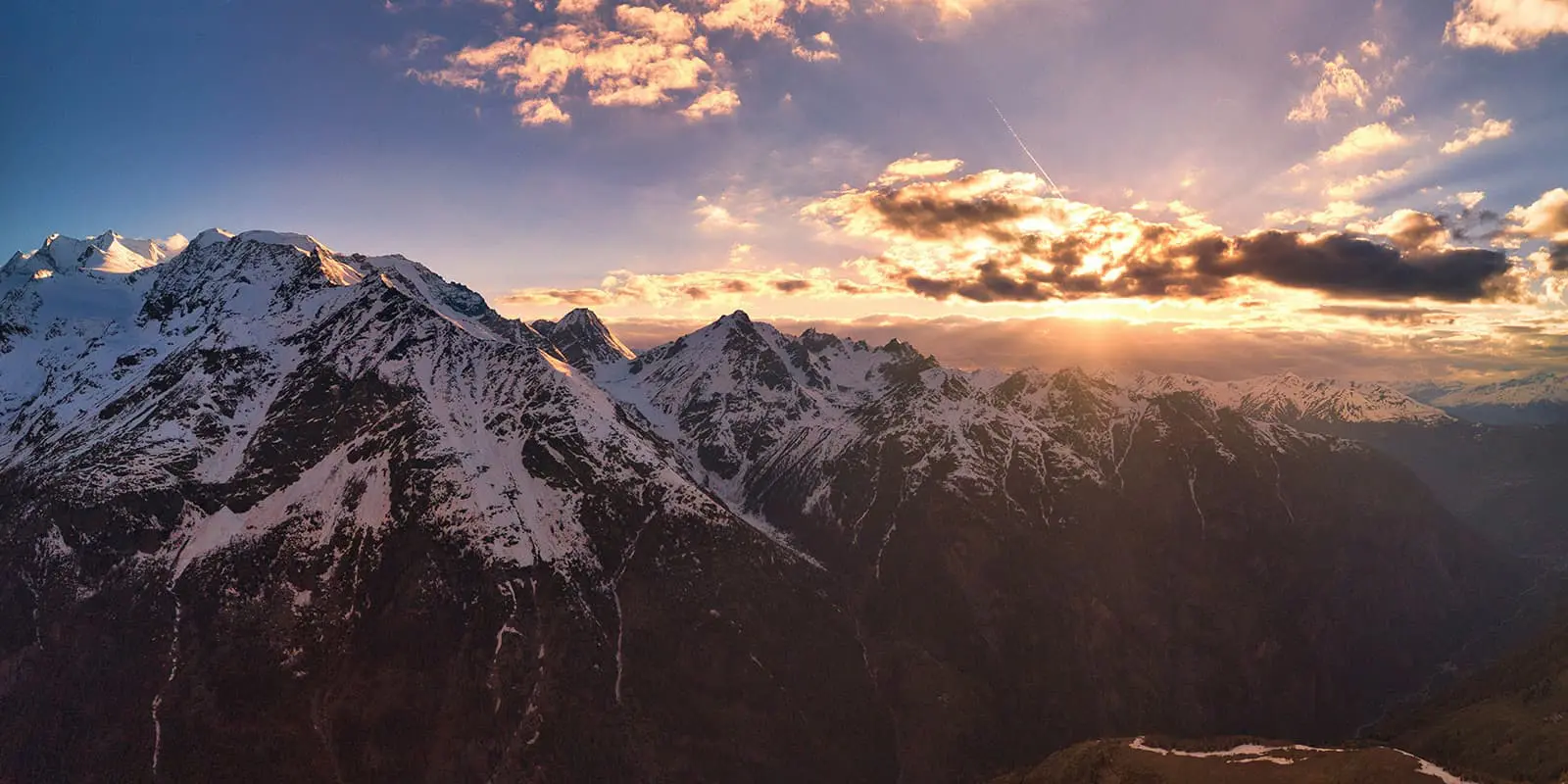
The trail offers clear views of the Saas mountains, including the Mischabel range and the Dom, the tallest peak entirely in Switzerland. After about an hour and a half, you pass through the hamlets of Hohlerch and Mitti Flüe to reach Almagelleralp and its hotel. This quiet area, surrounded by nature, is perfect for a break or a longer stay. The mountain hotel at 2,200 meters serves Valais dishes and other meals.

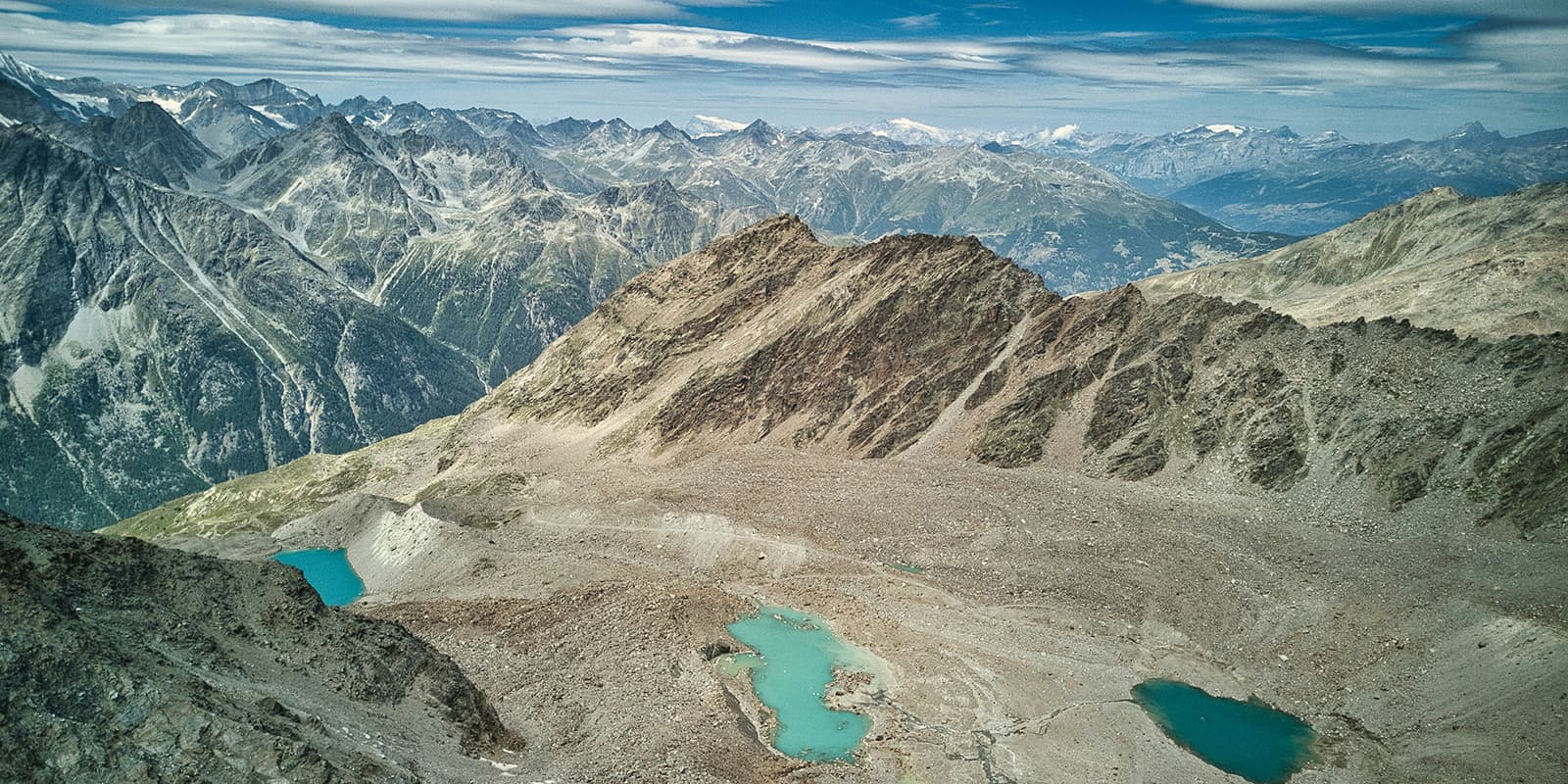
The next day, the Almageller Höhenweg trail will take you to Kreuzboden. You’ll be treated to fantastic views over the Swiss mountains as well as from the Mattmark reservoir to Stalden.

In the end, many paths lead into the Saas Valley, so in addition to hiking, cable cars or scooter bikes are also available for having some fun. If you’re feeling ambitious, you can extend the tour with an overnight stay at the Weissmies hut or hop on the Gsponer Höhenweg.

Stages

Saastal Trekking is usually hiked in 2 days but can either be shortened into a day hike or extended with an overnight stay at the Weissmies hut or the Gsponer Höhenweg.

2-stage itinerary

Stage 1:

Furggstalden – Almagelleralp, 2.8 km | 1.7 mi

Stage 2:

Almagelleralp – Kreuzboden, 6.8 km | 4.2 mi

Accommodations

Those who hike Saastal Trekking get to experience overnight stays in mountain huts. Just be sure to book the accommodations early, as the huts fill up often when they open their booking options in the early spring.

Mountain huts per stage

Stage 1:

Almagelleralp

Stage 2:

(extension): Weissmies hut

Best time of the year

The best time of the year to hike the Saastal Trekking is from June to October, when there is no snow and the accomodation options are open. You’ll also want to be aware that in the high season, July and August, the huts will likely be completely full and there will be other people on the trail. But don’t worry, this makes it part of the fun!

Safety & Gear

Take as little as possible and as much as necessary: Adapt your equipment to the tour. Wear layers, bring suitable footwear, and be prepared for rain and shine.

For staying overnight in the mountain huts, bring a light sleeping bag, in addition to the provided blankets, and earplugs for a restful night.

Also, remember to bring a first-aid kit. The trail is well marked but an additional map or GPS will be very helpful as a backup. If you walk by yourself, share your plans with somebody else for your own safety and let them know if your itinerary changes while you’re on the go.

The weather in the high mountains can change rapidly. Always check the trail conditions and local weather forecasts, be prepared for all conditions, including rain, sun, or snow and alter your plans if needed.

Stay properly hydrated and nourished. Ensure you have enough water and snacks to maintain energy levels and prevent dehydration and exhaustion. Bring at least two liters of water with you.

Respect the principles of Leave No Trace by minimizing your impact on the environment. Stick to designated trails, take all your trash with you, and show respect for wildlife and natural habitats (keep your distance and don’t feed them).

Difficulty

The Saastal Trekking is a challenging hiking trail but suitable for the whole family. Be sure you have a strong level of fitness and are able to be on the trail, hiking high elevations, for 6+ hours a day.

Good to know

You can fill up your water before the hike and at the mountain huts between the stages. Make sure to take enough drinking water for the day.

The Saastal Trekking can be reached easily by public transport. The start and end points are serviced by buses or trains: www.sbb.ch.

You can also extend this trip into a long weekend by connecting the trail to the Weissmies hut or the Gsponer Höhenweg for an added adventure!

route
point-to-point
highest point
2523m (8277 ft)

Want to submit a trail or make this page more complete?

Always read the disclaimer

Terms of Use: important to all visitors on this website. We strive to publish high quality content and information on this website. However it’s always possible that we’re missing out on some crucial information. In spite of the fact that this route, associated GPS track (GPX and maps) were prepared under diligent research by the specified contributor and/or contributors, the accuracy of such and judgement of the author is not guaranteed. Therefore, hiking-trails.com and contributors are in no way liable for personal injury, damage to personal property, or any other such situation that might happen to individuals hiking or following this route. Should you choose to hike this trail, this is always at your own risk. Check out our guidelines for safety hiking and Leave No Trace principles at the hiking 101 page.

Download GPX

Join the community!

Login or create a FREE account 😊

With an account you can:

Download GPX files

Pin trails to your wishlist

Mark trails as hiked by you

Rate hiking trails

Comment on trails, blogs and gear reviews

Happy trails!
Login

Don't have an account yet? Register here