view of mountain range with clouds in the valley

Ruta Estanys Amagats

Hidden Lakes Route

About the Ruta Estanys Amagats

Pyrenees
country
Spain, Andorra
length
73 km(45 mi)
Type of trail
Hut to hut, Long-distance
difficulty

Difficulty is highly personal. Be aware of the weather conditions as bad weather turns easier trails in difficult trails especially in the mountains.

Moderate
accommodation

Lodging means a mix of hotels, hostels or AirBnB’s.

Mountain huts
Elevation gain
3599 m(11808 ft)
terrain
Mountains, Forest
remoteness
Some of the time
Show more

The Ruta Estanys Amagats is a 73-kilometer (45.4 mi) circular hut-to-hut hiking trail through the Catalan and Andorran Pyrenees. The trail is also called Hidden Lakes Route because of the roughly 40 lakes you will see along your way.

Next to the lakes, you will get to enjoy the high mountains of la Cerdanya-l‘Alt Urgell National Reserve and the Vall de Madriu as well as forests and little villages. This trail is a great one for all year round, which makes it perfect for beginning or ending the hiking season.

Merle profile picture

Merle Wünderling

Merle is an outdoor enthusiast who’s passionate about hiking, rock climbing, mental health, and sustainability. Born in Germany but at home in the world, she’s hiked trails in New Zealand (Abel Tasman Coast Track, Kepler Track), Europe (Rota Vicentina/ Fishermen’s Trail, Tour du Mont Blanc, GR20 Corse, Kungsleden… ), and the Balkans (Peaks of the Balkans). Over the years she became a bit of a nerd, constantly improving her gear for upcoming hikes, such as GR11 Spain, Tour des Ecrins, Te Araroa, and the Transcaucasian Trail.

You can follow Merle on Instagram @merlewunderkind.

View profile

The Trail

The trail starts gently in the small village of Talltendre. On flat ground, you will walk through the mountain villages of Ordèn and Èller, which consist typically of stone houses. Your first ascent leads to Merange, a slightly bigger village, and then into a forest. The first stage ends at the Refugi Malniu, which is also able to be reached by car. Therefore, multiday hikers merge with day hikers to explore the surrounding lakes of Malniu and Estany Sec right next to the hut.

The next day starts with a walk around Lake Estany Sec before the path follows the red and white marks of the GR11. After a meadow with grazing cows, the path ascends and crosses the Duran River. Past beautiful waterfalls, it leads to the non-guarded J. Folch i Girona hut, which invites you in for a rest before the next ascent. The Engorgs Cirque has breathtaking views of the surrounding peaks and crystal-clear lakes and ponds. From the Engorgs Cirque, the path keeps ascending to the Portella d’Engorgs mountain pass. From here it is possible to catch your first glimpse of Andorra! The descent from here will take you into the Vall de la Llosa valley before the last ascent of the day leads up to the Port de Ballciveraa mountain pass. From here, a descent takes you down to the Refugi de l’Illa in Andorra.

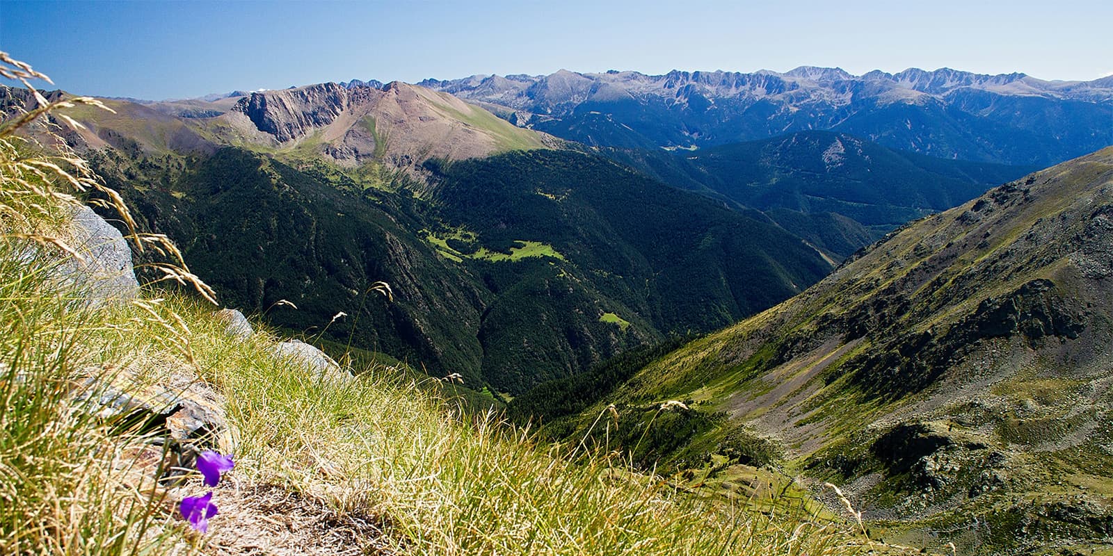
The third stage leads through the Vall de Madriu Valley – a UNESCO World Heritage Site. You will come past the Estany de la Bova lake, where cows and horses used to graze. The path then continues through a forest with the non-guarded Riu del Orris hut and descends into a magnificent granite valley. The path leads to the Maiana mountain pass, where it leaves the red and white marks of the GR11 behind and follows the red and yellow marks instead. From here, the path turns into green meadows and you will cross the Madriu River before you climb up the next mountain pass and down to the non-guarded Refugi de Perafita. Over the Port de Perafita mountain pass, which is also the border between Andorra and Spain, the path descends to the Refugi d’Estanys de la Pera.

Short after the Refugi, the next day awaits with the beautiful Planell waterfall in the forest. A descent leads to the Refugi de les Pollineres, an abandoned hut with a picnic area. The trail continues past the Bassa de Comabella pond, the Arsana ski resort, and the Camping El Cortal del Gral campsite until it reaches the biggest hut of the trail – the Cap del Rec hut.

The fifth and last stage leads through a forest down to the small mountain village of Viliella. It continues along a river, which has to be crossed, to the even smaller village of Coborriu de la Llosa, which consists of houses only. Next the path ascents one last time before it descents down to the village of Talltendre where it all began.

Stages

The Ruta Estanys Amagats is usually hiked in five stages. Because the trail is a circuit it can be hiked clockwise or counterclockwise.

Ruta Estanys Amagats 5-stage itinerary

Stage 1:

Refugio Cal Pere Sidro – Refugi Malniu, 12 km | 7.5 mi

Stage 2:

Refugi Malniu – L’Illa shelter, 18 km | 11.2 mi

Stage 3:

L’Illa shelter – Refugi Estanys de la Pera, 15 km | 9.3 mi

Stage 4:

Refugi Estanys de la Pera – Refugi Cap del Rec, 10 km | 6.2 mi

Stage 5:

Refugi Cap del Rec – Refugi Cal Pere Sidro, 18 km | 11.2 mi

Accommodations

There are mountain huts along the way. Some of them are manned and offer half-board. Others are unmanned. Make sure to book your accommodation in advance, especially during the high season (July and August).

It is also important that you bring enough cash because there will be no option for card payments in most of the huts.

Mountain huts per stage

Stage 1:

Refugi Malniu

Stage 2:

L’Illa shelter

Best time of the year

It is possible to hike the Ruta Estanys Amagats all year long. In spring, summer and autumn on foot and in winter on skis or with snow shoes. If you want to avoid the snow, the best time for you to hike is from the beginning of June to the middle of September.

If you’re unsure in the late fall about snow conditions, you can call the hut wardens to ask about the trail accessibility. They will tell you everything you need to know about the area and how to best prepare.

Safety & Gear

The Ruta Estanys Amagats is a medium challenging hike, without any technical difficulties. Preparing for the trail will depend on when you choose to hike it. If you happen to hike the Ruta Estanys Amagats before June or after September, make sure to be prepared to hike in the snow. This means either bringing micro-spikes, snow shoes, or skis, depending on when in the season you go.

You will also want to bring other helpful gear, like good clothing and shoes with a proper grip. Check out our comprehensive gear list for long-distance trails for more information on what to bring.

While you’re on the trail and in the huts, respect the principles of Leave No Trace by minimizing your impact on the environment. Stick to designated trails, take all your trash with you, and show respect for wildlife and natural habitats (keep your distance, don’t feed them).

Difficulty

The Ruta Estanys Amagats is graded as a moderate hiking trail. It is challenging because of the distance and elevation gain, but not very difficult from a technical point of view. The trail is five days, which is a moderate length, and doable for people who have completed an overnight trekking before.

Training for the Ruta Estanys Amagats will be helpful. You will want to take a few training hikes or walks that last a few hours with a full backpack. This is a great way to work on your endurance, as well as building strength.

Good to know

To reach the start of the trail, Cal Pere Sidro in the town of Talltendre, by car it takes around 2 hours to drive from Barcelona, Lleida, or Girona.

There is no direct public transport, but it is possible to go by bus from Barcelona (Estació del Nord) to Bellver de Cerdanya and walk or hitchhike the last bit.

If you want to avoid unexpected costs, you should better turn off your mobile data – Andorra is not part of the EU. Regarding phone service, depending on your operator, you will have reception most of the time. Just remember that because Andorra is not part of the EU, roaming will not work there. Better turn off your mobile data between the Malniu hut and the Estanys de la Pere hut to avoid unexpected costs.

route
circuit
highest point
2.916m (9.566 ft)

Guidebooks

guidebook Ruta Estanys Amagats

Ruta Estanys Amagats

View guidebook

Want to submit a trail or make this page more complete?

Always read the disclaimer

Terms of Use: important to all visitors on this website. We strive to publish high quality content and information on this website. However it’s always possible that we’re missing out on some crucial information. In spite of the fact that this route, associated GPS track (GPX and maps) were prepared under diligent research by the specified contributor and/or contributors, the accuracy of such and judgement of the author is not guaranteed. Therefore, hiking-trails.com and contributors are in no way liable for personal injury, damage to personal property, or any other such situation that might happen to individuals hiking or following this route. Should you choose to hike this trail, this is always at your own risk. Check out our guidelines for safety hiking and Leave No Trace principles at the hiking 101 page.

Download GPX

Join the community!

Login or create a FREE account 😊

With an account you can:

Download GPX files

Pin trails to your wishlist

Mark trails as hiked by you

Rate hiking trails

Comment on trails, blogs and gear reviews

Happy trails!
Login

Don't have an account yet? Register here