About the Historical Way

country
Portugal
length
263 km(163 mi)
Type of trail
Long-distance
difficulty

Difficulty is highly personal. Be aware of the weather conditions as bad weather turns easier trails in difficult trails especially in the mountains.

Moderate
accommodation

Lodging means a mix of hotels, hostels or AirBnB’s.

Lodging, Camping
Elevation gain
4648 m(15249 ft)
terrain
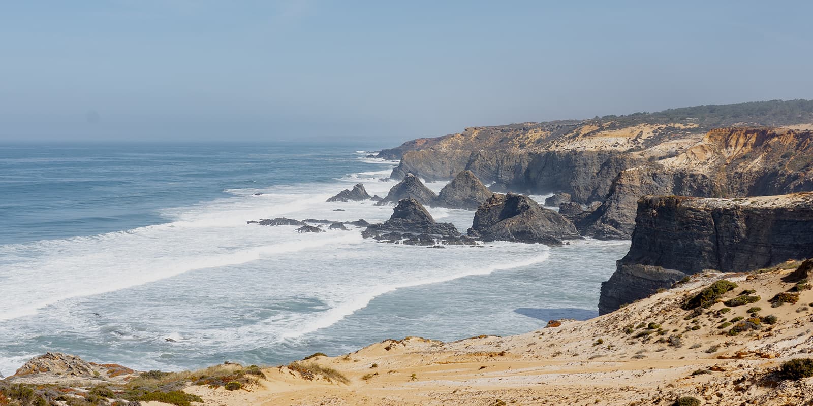
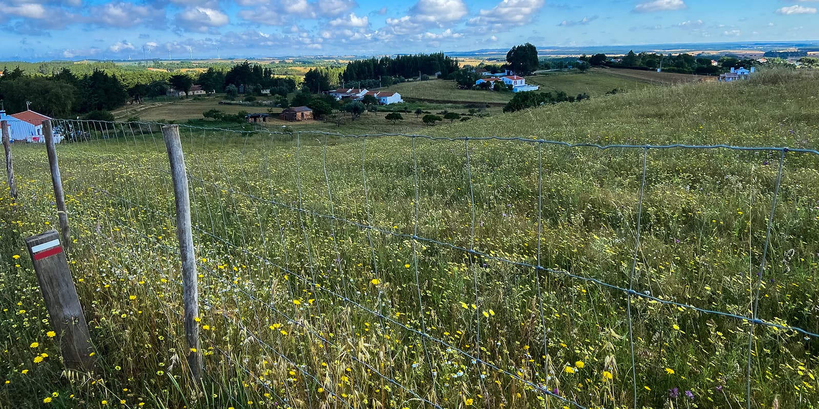
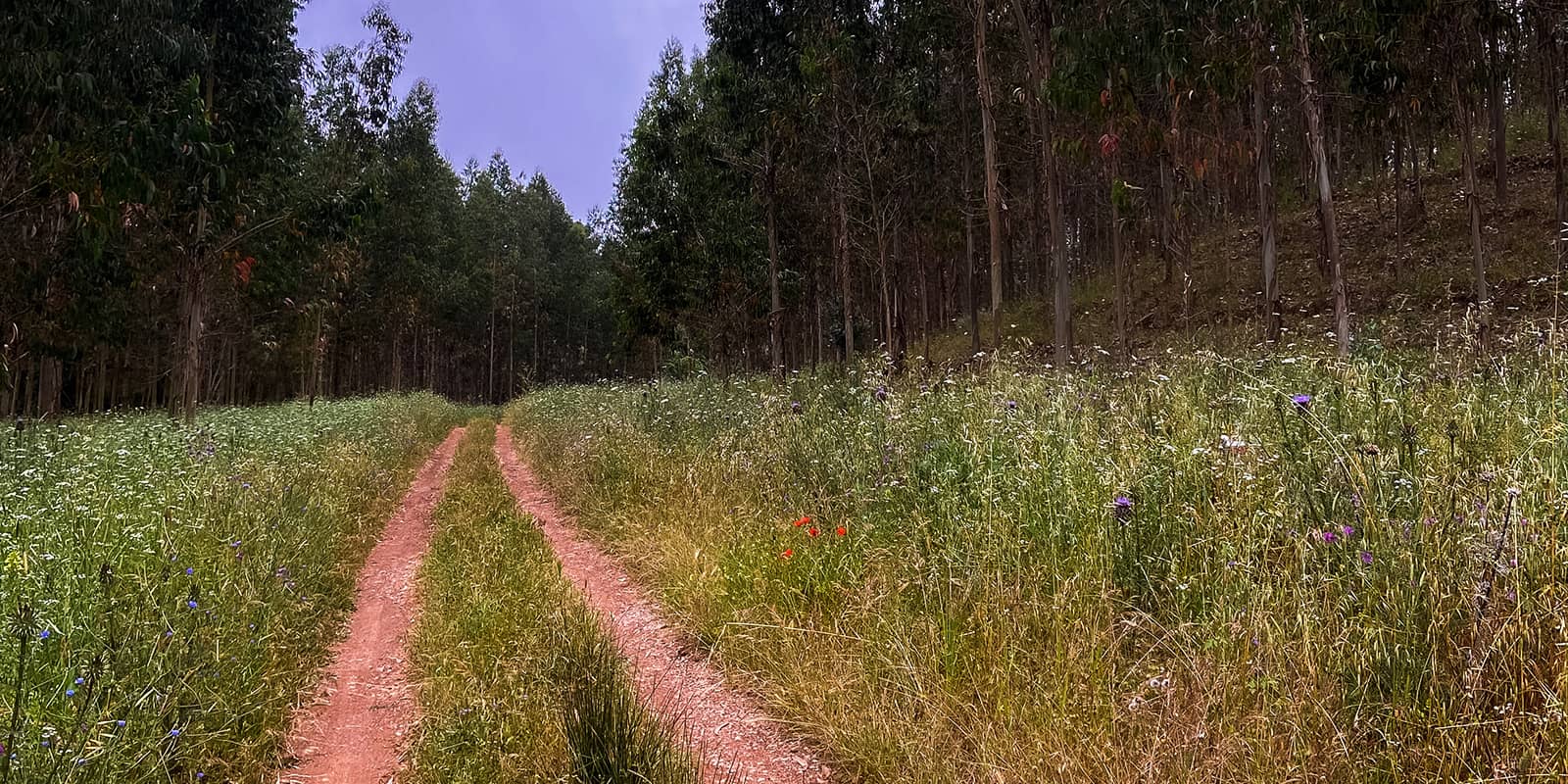
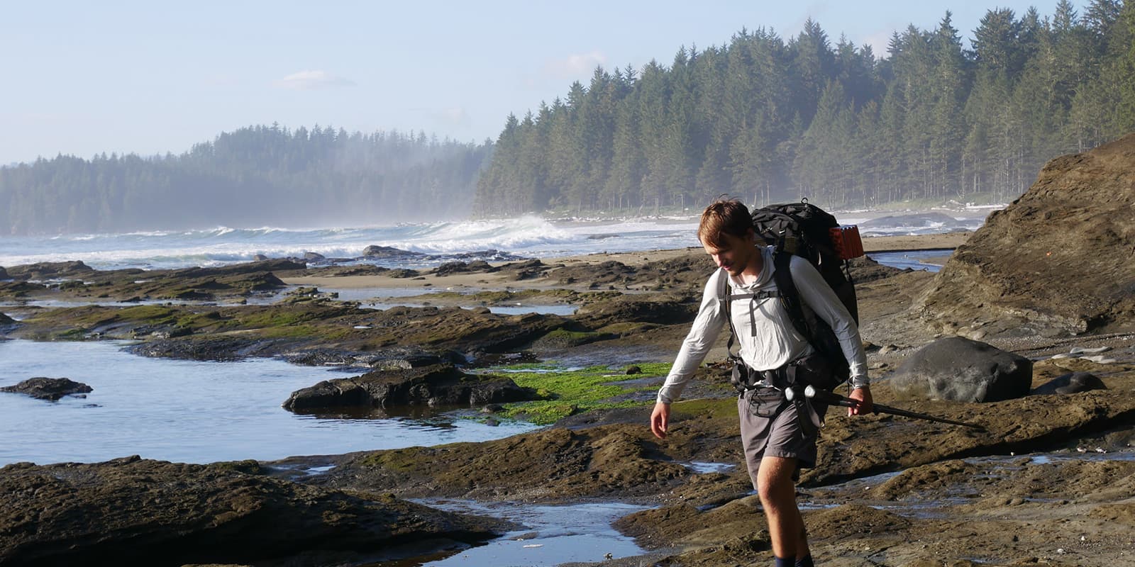
Countryside, Coastal, Forest, Hills
remoteness
Some of the time
Show more

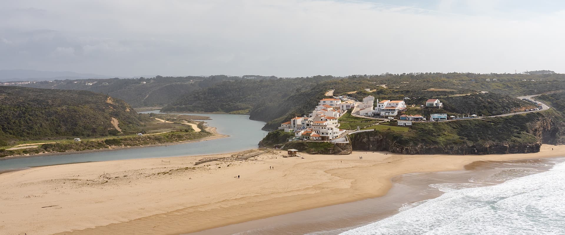
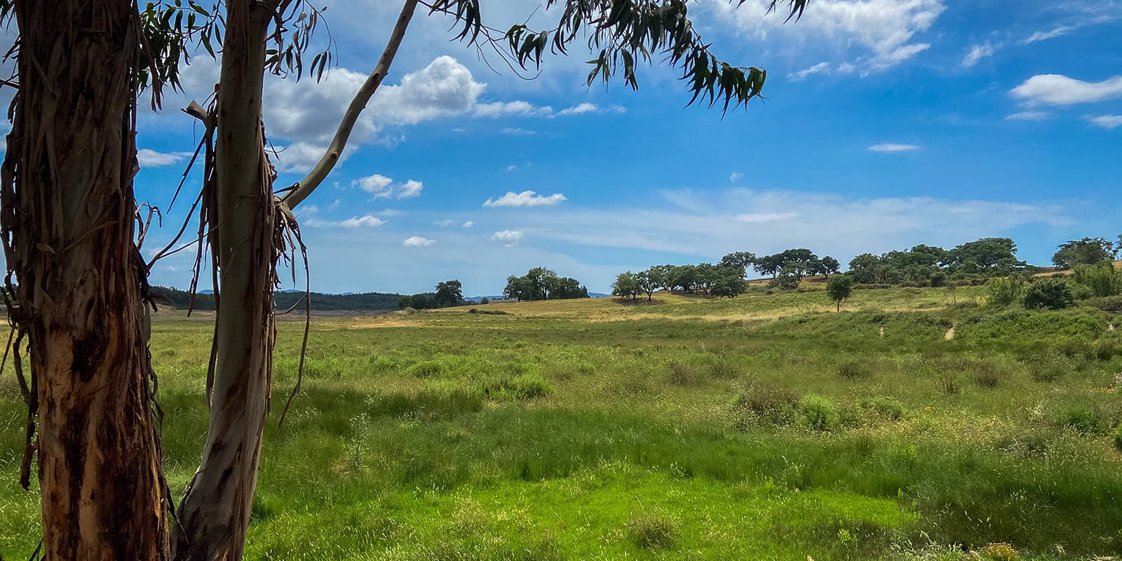
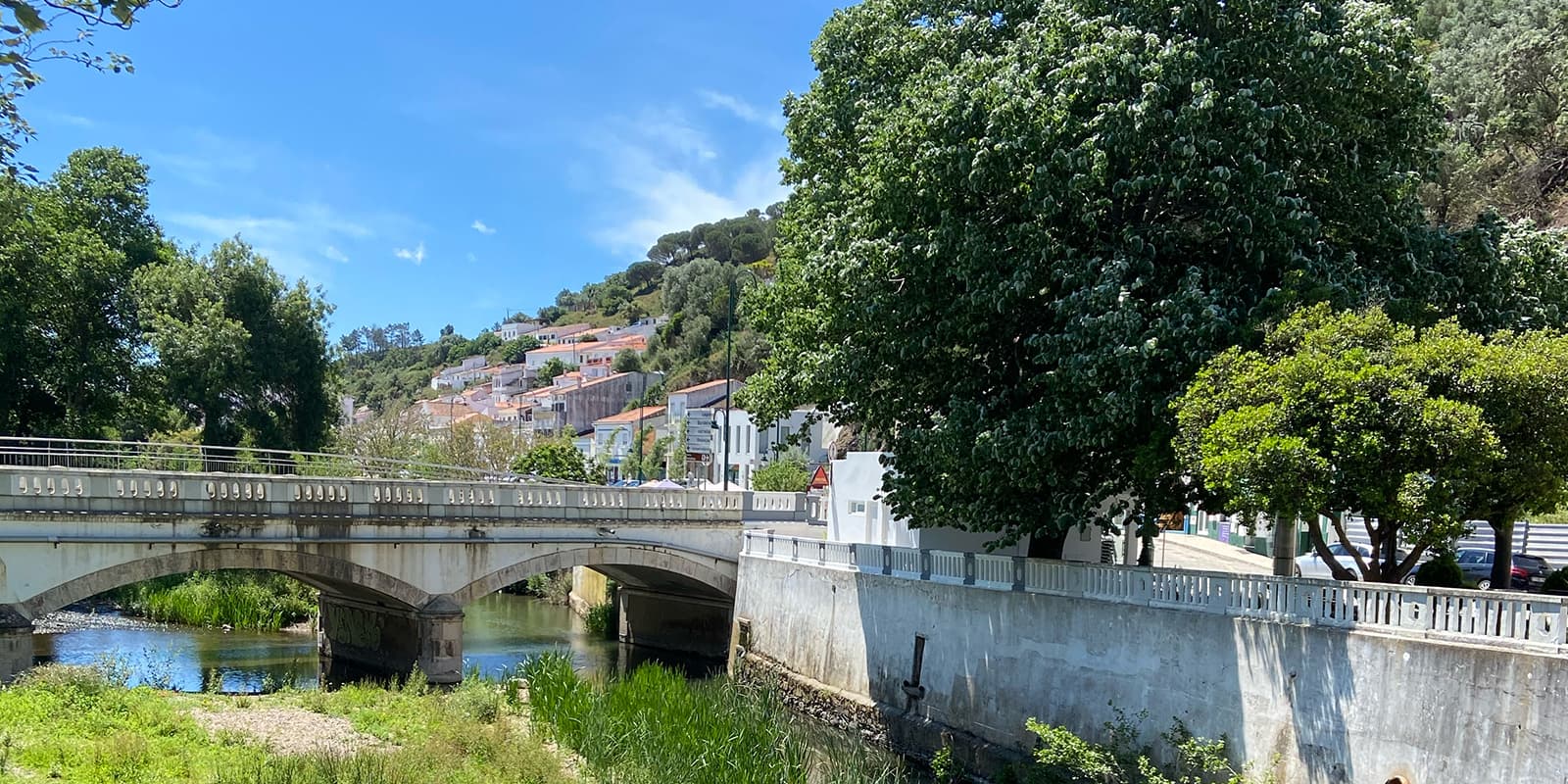
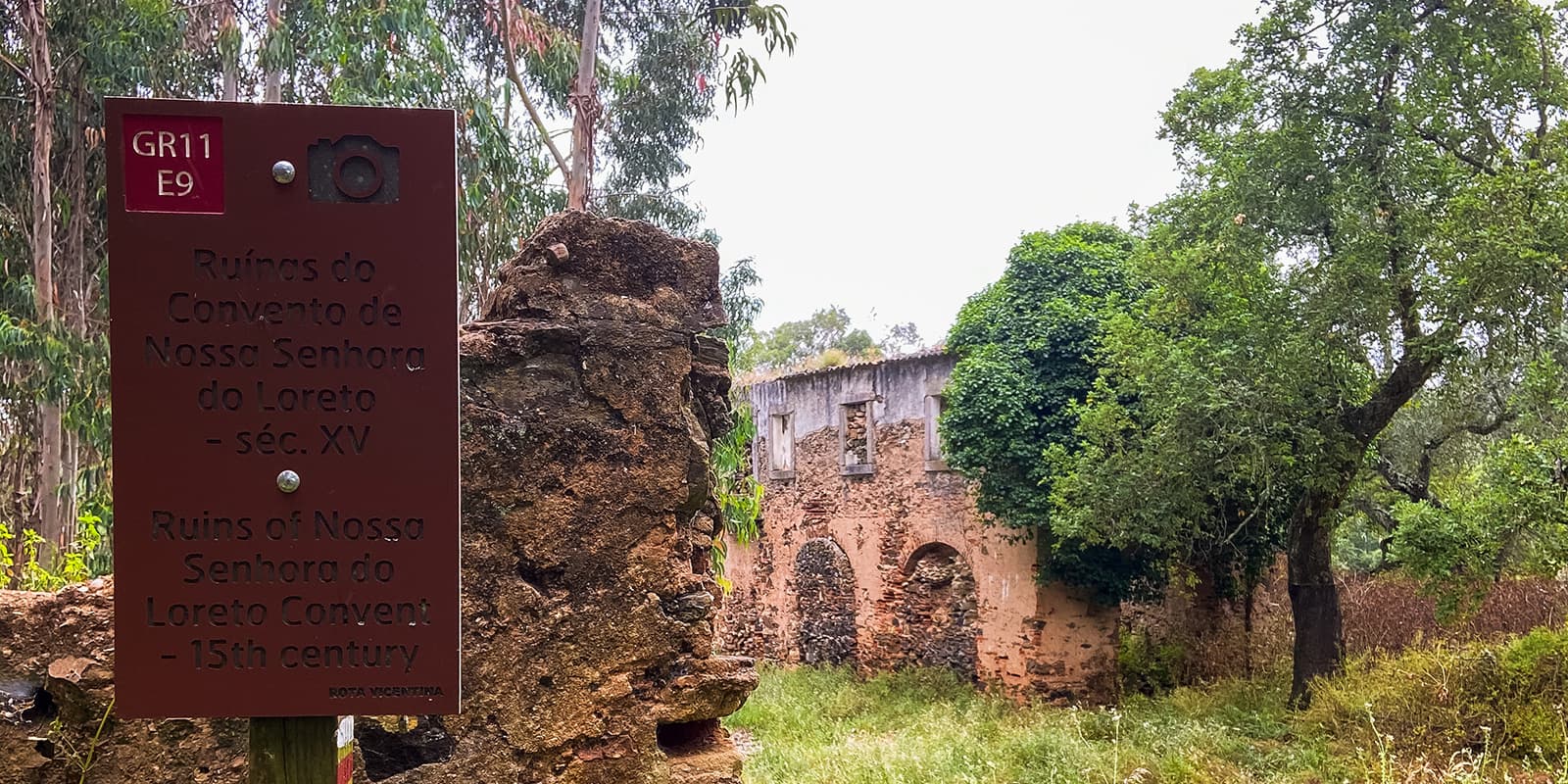
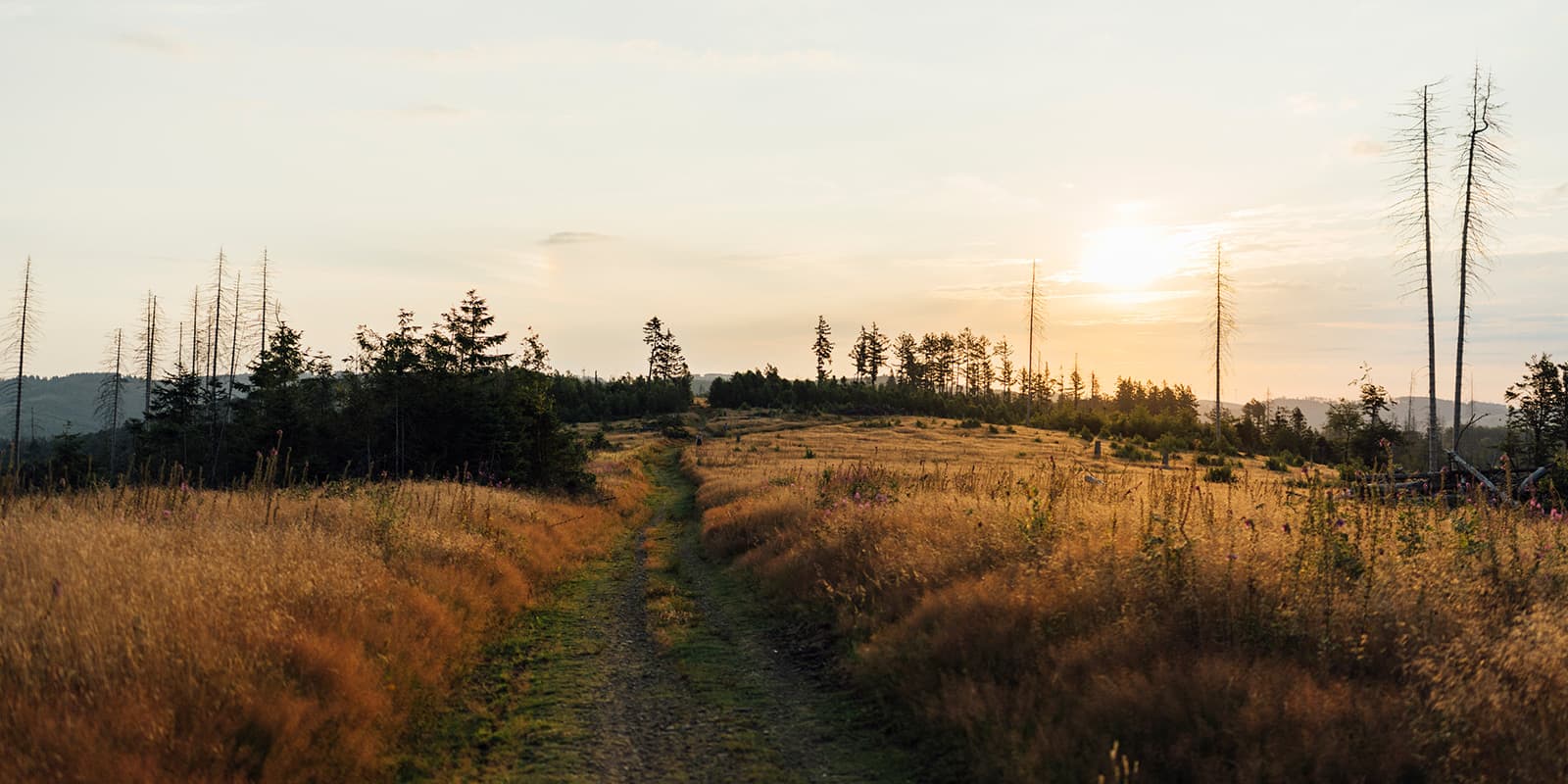
The Rota Vicentina Historical Way winds through the main towns and villages of Southern Portugal, offering an itinerary shaped by centuries of history. Primarily composed of rural trails, route winds through cork tree forests, mountain ranges, valleys, rivers, and creeks, providing a journey through time and culture.

In both 2016 and 2020, the Historical Way earned certification as a “Leading Quality Trail – Best of Europe” by the European Ramblers Association (ERA), placing it among Europe’s premier walking destinations. However, the Sabóia to Odemira section is excluded from this certification. While the route itself is generally considered easy, it does feature some sections of moderate difficulty.

Sofie Rosendo
Author

Sofie Rosendo

Sofia Rosendo was born in Portugal, by the sea. It was not until a later date that she found the mountains and fell in love. From the Alps to the Andes and several stops in the Himalayas, she is still trying to find her favorite mountain. You can follow Sofia on Instagram @berrygirltravels.

View profile

The Trail

Stage one begins at the iconic Santiago do Cacém Church, deep in a city intertwined with pilgrimages to Santiago de Compostela. Dating back to the Middle Ages, pilgrims have traversed this route, originating from the Promontorium Sacrum, the legendary endpoint of this historic pilgrimage now revived through the Rota Vicentina. This stage is dominated by cork tree forests that will line the path. However, the next stages will be in arid areas, which is a sad reflection of the decline of the natural forests in the region.

After a few stages, you’ll have the option to diverge to Porto Covo, where you can link over to the Fisherman’s Trail on the coast if you choose. If you decide to stay on the Historical Way, then you’ll dive back inland and continue hiking south.

Throughout the hike, the two trails will join at varying points, or give you the option to switch trails to walk on the coast. But in both instances, you’ll hike toward the southernmost tip of Portugal. The Historical Way’s terminus is in Cabo de São Vicente, while the Fishermen’s Trail finishes nearby in Lagos.

Stages

The stages of the Historical Way can vary based on if you decide to switch between it and the Fishermen’s Way. It will also vary slightly if you decide to camp or stay in villages, but this is a 12-day option for the Historical Way with village stays at the end of each stage.

12-stage itinerary

Stage 1:

Santiago – Vale Seco, 17.6 km | 11 mi

Stage 2:

Vale Seco – Cercal, 22.6 km | 14 mi

(Option: Cercal – Porto Covo, to diverge onto Fishermen’s Trail)

Stage 3:

Cercal – S.Luis 19.8 km | 12 mi

Stage 4:

S.Luis – Odemira, 24.7 km | 15 mi

Stage 5:

Saboia – Odemira, 31.7 km | 19.7 mi

Stage 6:

Odemira – S.Teotónio, 18.9 km | 11.7 mi

Stage 7:

S.Teotónio – Odeceixe, 16.6 km | 10.3 mi

Stage 8:

Odeceixe – Aljezur, 19.7 km | 12.3 mi

Stage 9:

Aljezur – Arrifana, 11.8 km | 7.3 mi

Stage 10:

Arrifana – Carrapateira, 23.8 km | 14.8 mi

Stage 11:

Carrapateira – Vila do Bispo, 21.4 km | 13.3 mi

Stage 12:

Vila do Bispo – Cabo de São Vicente, 13.6 km | 8.5 mi

Accommodations

It is wise to check accommodation availability before starting the hike, since some places close during the winter months, and others are fully booked in the spring/summer months.

Wild camping is not an option in the Historical Way since most of the areas are protected, but along the route, there are camping options available if you prefer to bring a tent.

Best time of the year

The best time of the year to hike the Historical Way is the colder months, October through May, due to the high temperatures you can feel in the summer months and the lack of shade in some areas of the trail.

Always check trail conditions (these will be available on the official website and also on their social media pages), and local weather forecasts before embarking on your daily stage and ensure that you have the necessary gear for the conditions you will face. Additionally, consider your hiking experience and skill level.

Safety & Gear

Pack for the climate, which can be mild but varies with the seasons. Bring lightweight, breathable clothing for daytime hikes and layers for cooler evenings. If hiking in summer, be prepared for higher temperatures with sun-protective gear such as a wide-brimmed hat, sunglasses, and high-SPF sunscreen. Sturdy, comfortable hiking boots are essential for the diverse terrain, and a good windbreaker is useful for unexpected weather changes.

Carry a refillable water bottle and fill it whenever possible. While most villages have fountains or cafes where you can replenish your supply, some stretches between settlements can be long, so always start each day with plenty of water. A portable water filter or purification tablets can be useful in more remote areas.

Respect the local environment and communities. The trail passes through protected natural parks and rural lands where farming and traditional lifestyles continue. Stick to marked paths to avoid damaging the environment and follow Leave No Trace principles. Learning a few basic Portuguese phrases can improve your interactions with locals and demonstrate respect for their culture.

Good to know

It can get very hot on the Rota Vicentina. Ensure you have enough water, avoid hotter seasons, and avoid hiking in peak heat hours. The trek in some of the stages provides barely any protection against the sun.

Along the trail, you can find updates on water availability and current stage information on the official website. Some stages may also offer links to other routes or paths, all of which are conveniently accessible through the website and app.

Route
Point to point
Highest point
190m (623ft)

Want to submit a trail or make this page more complete?

Comments

Be the first one to comment on this trail!

Reply to this trail

Your email address will not be published. Required fields are marked *

Reply to this trail

Log in to comment on this trail
Always read the disclaimer

Terms of Use: important to all visitors on this website. We strive to publish high quality content and information on this website. However it’s always possible that we’re missing out on some crucial information. In spite of the fact that this route, associated GPS track (GPX and maps) were prepared under diligent research by the specified contributor and/or contributors, the accuracy of such and judgement of the author is not guaranteed. Therefore, hiking-trails.com and contributors are in no way liable for personal injury, damage to personal property, or any other such situation that might happen to individuals hiking or following this route. Should you choose to hike this trail, this is always at your own risk. Check out our guidelines for safety hiking and Leave No Trace principles at the hiking 101 page.

Download GPX

Join the community!

Login or create a FREE account 😊

With an account you can:

Download GPX files

Pin trails to your wishlist

Mark trails as hiked by you

Rate hiking trails

Comment on trails, blogs and gear reviews

Happy trails!
Login

Don't have an account yet? Register here