About the RMK Peraküla-Ähijärve

country
Estonia
length
812 km(505 mi)
Type of trail
Long-distance
difficulty

Difficulty is highly personal. Be aware of the weather conditions as bad weather turns easier trails in difficult trails especially in the mountains.

Moderate
accommodation

Lodging means a mix of hotels, hostels or AirBnB’s.

Wild camping, Lodging, Shelters
Elevation gain
3231 m(10600 ft)
terrain
Countryside, Coastal, Flat, Forest
remoteness
Most of the time
Show more

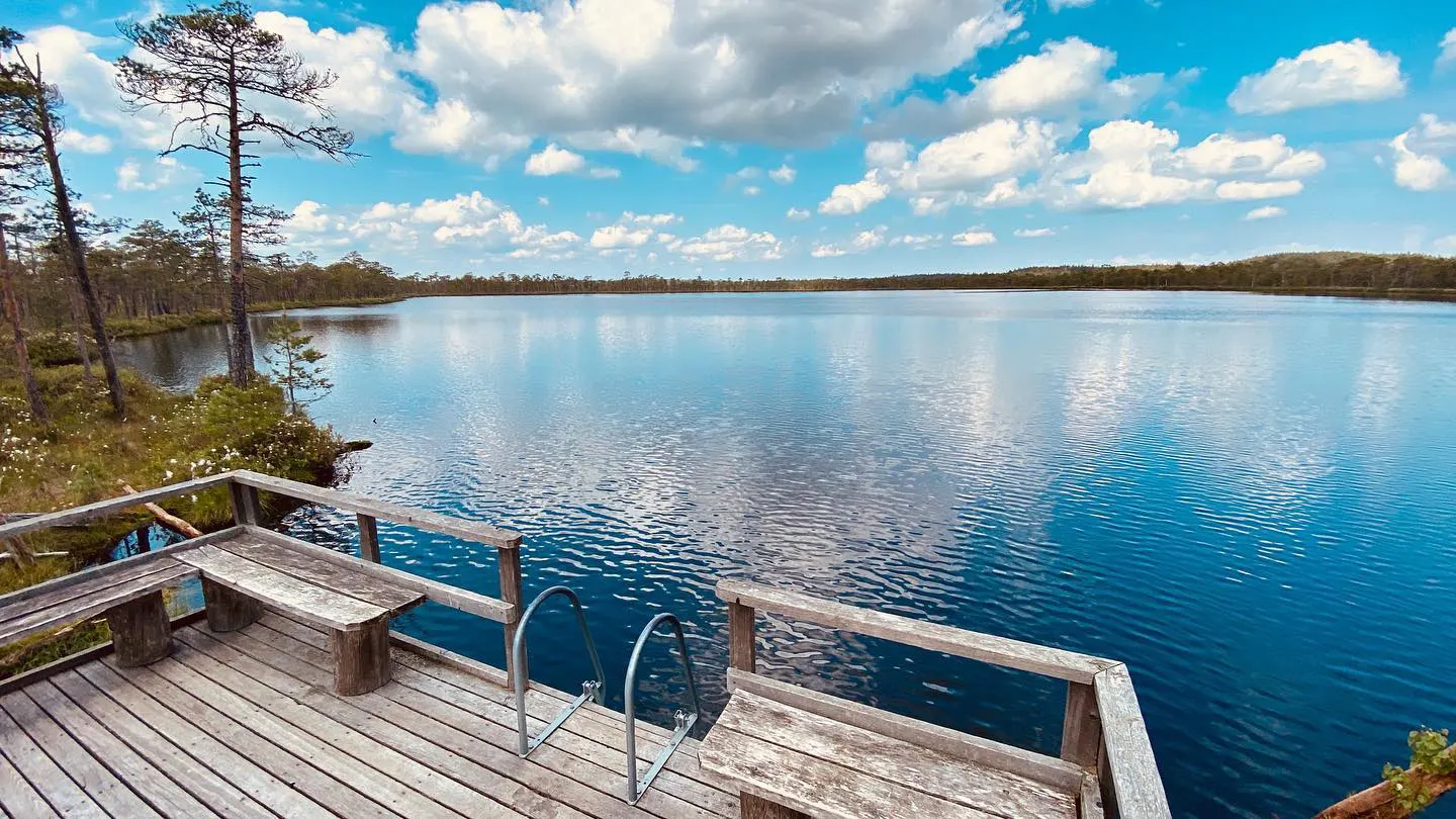
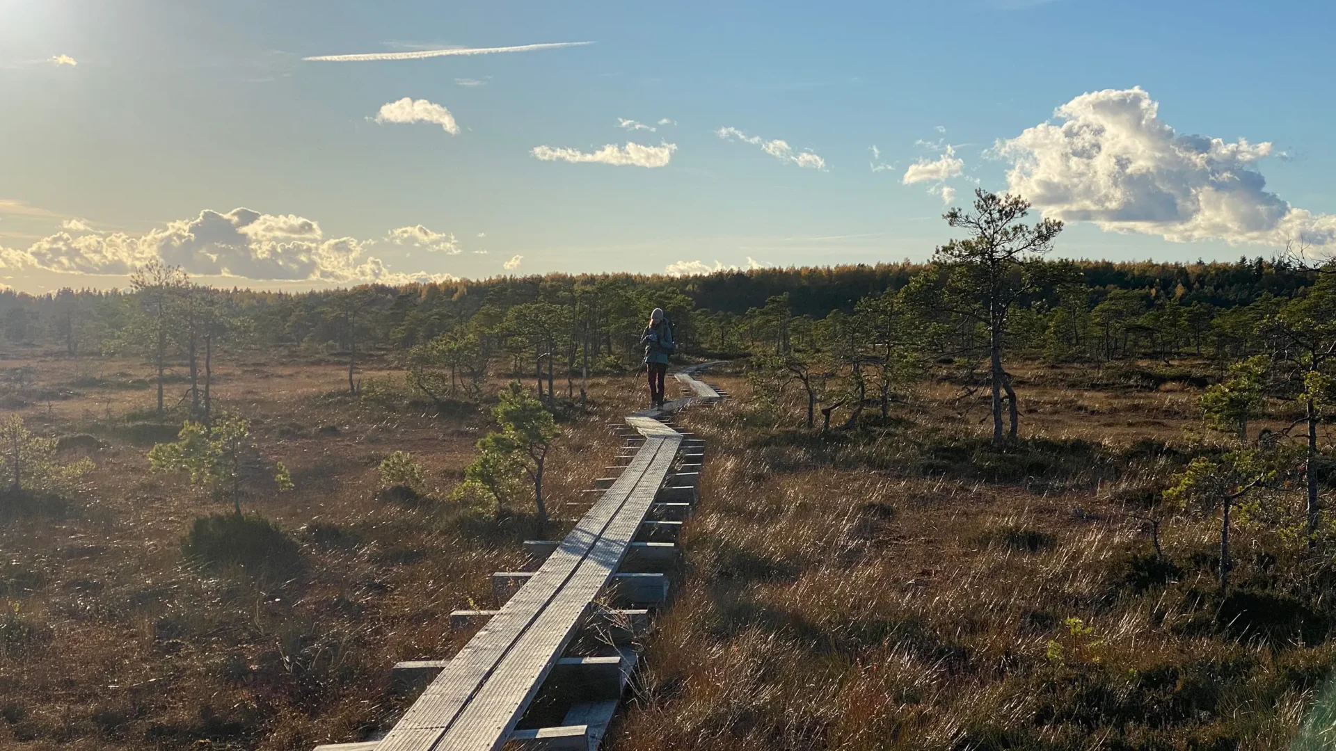
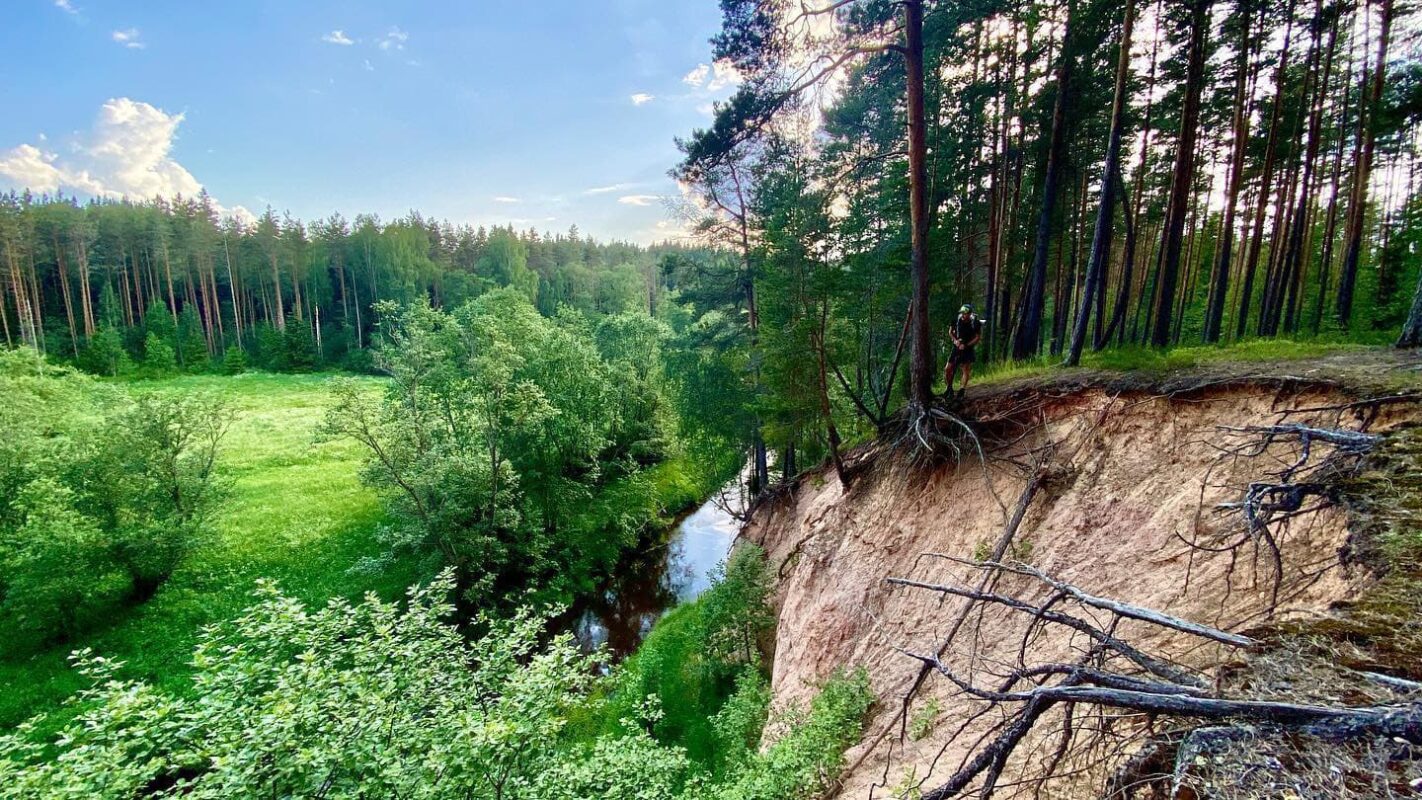
Estonia has a variety of landscapes – from sandy beaches to berry- and mushroom-filled pine forests, hidden lakes, bogs, and dark forests. This long-distance trail covers all of these terrains along a route that is dotted with official, government-maintained free campgrounds, shelters, and fireplaces. The route is well-marked (white-green-white signs) and easy to navigate using the official RMK Loodusega Koos app.

This is a great way to get off the beaten path and explore a lesser-known country on a well-maintained trail.

Stiina Kristal

Stiina Kristal

Stiina is an IML-qualified mountain leader and an experienced long-distance hiker. Together with her partner Kris, they love to explore trails all around the world, learning more about themselves with every adventure.

View profile

The Trail

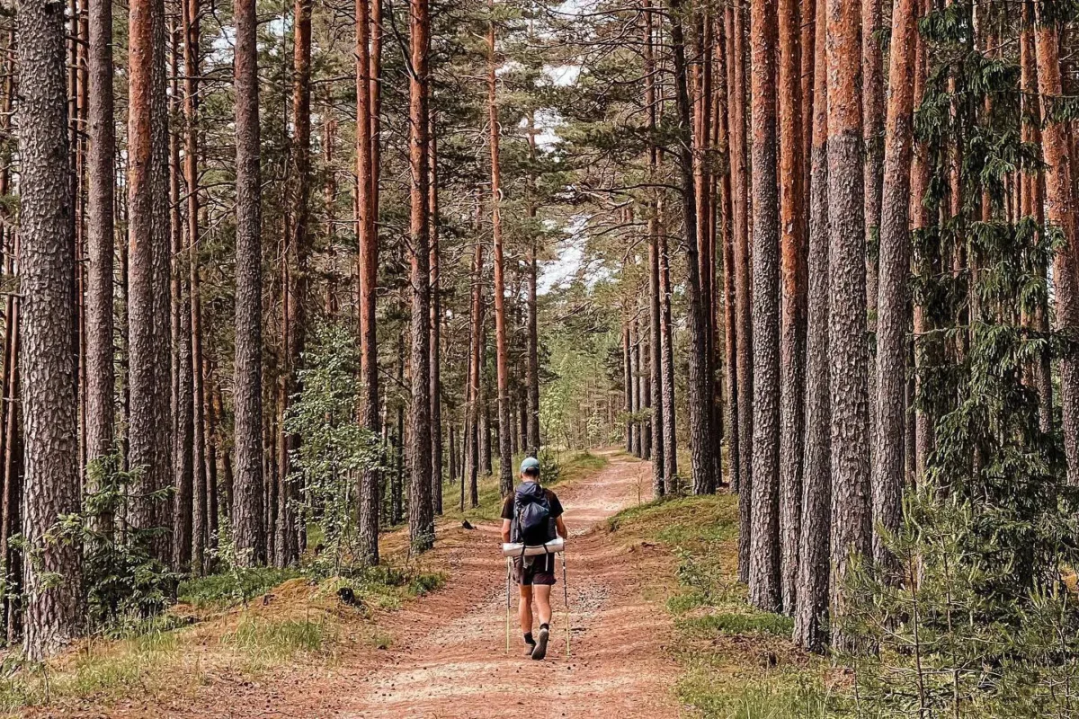
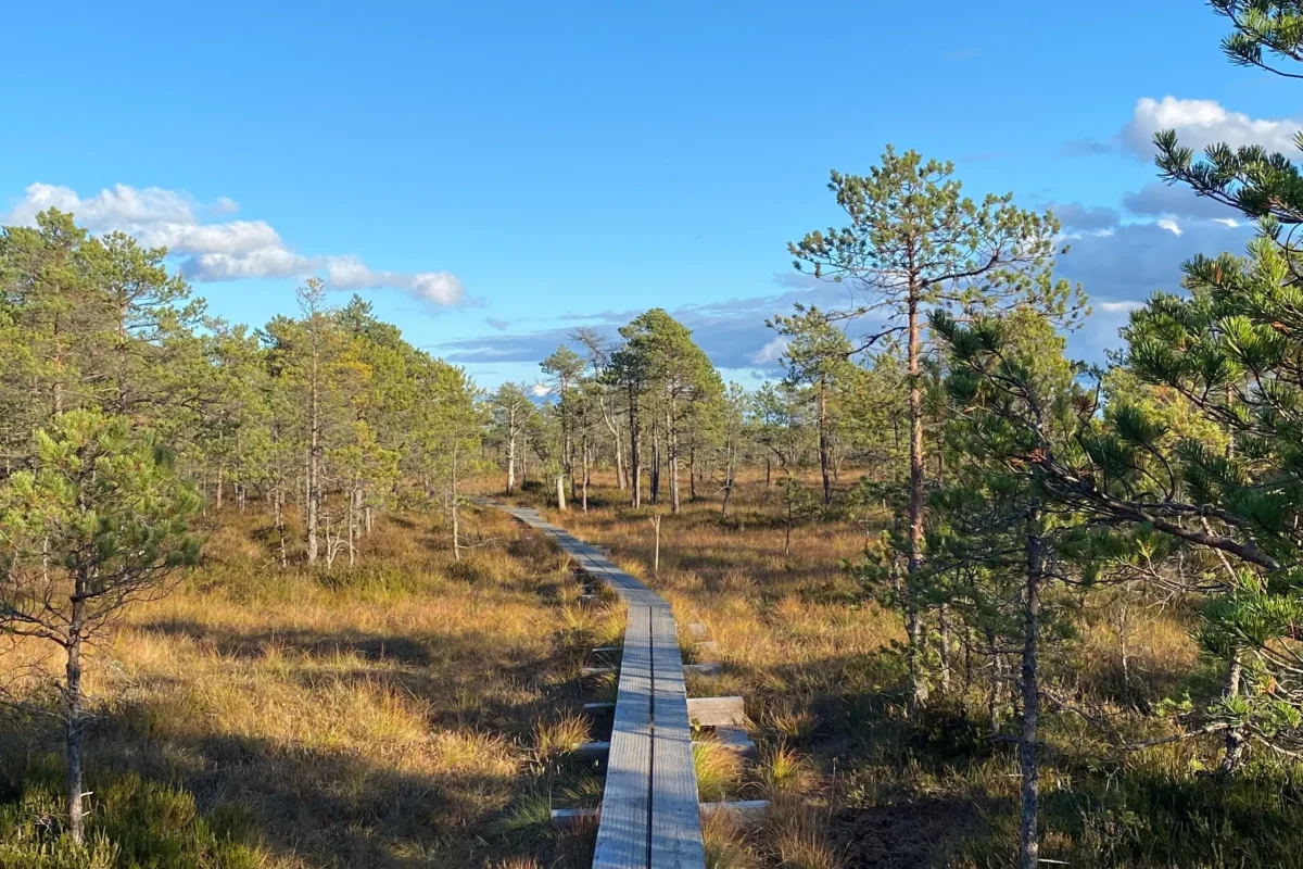
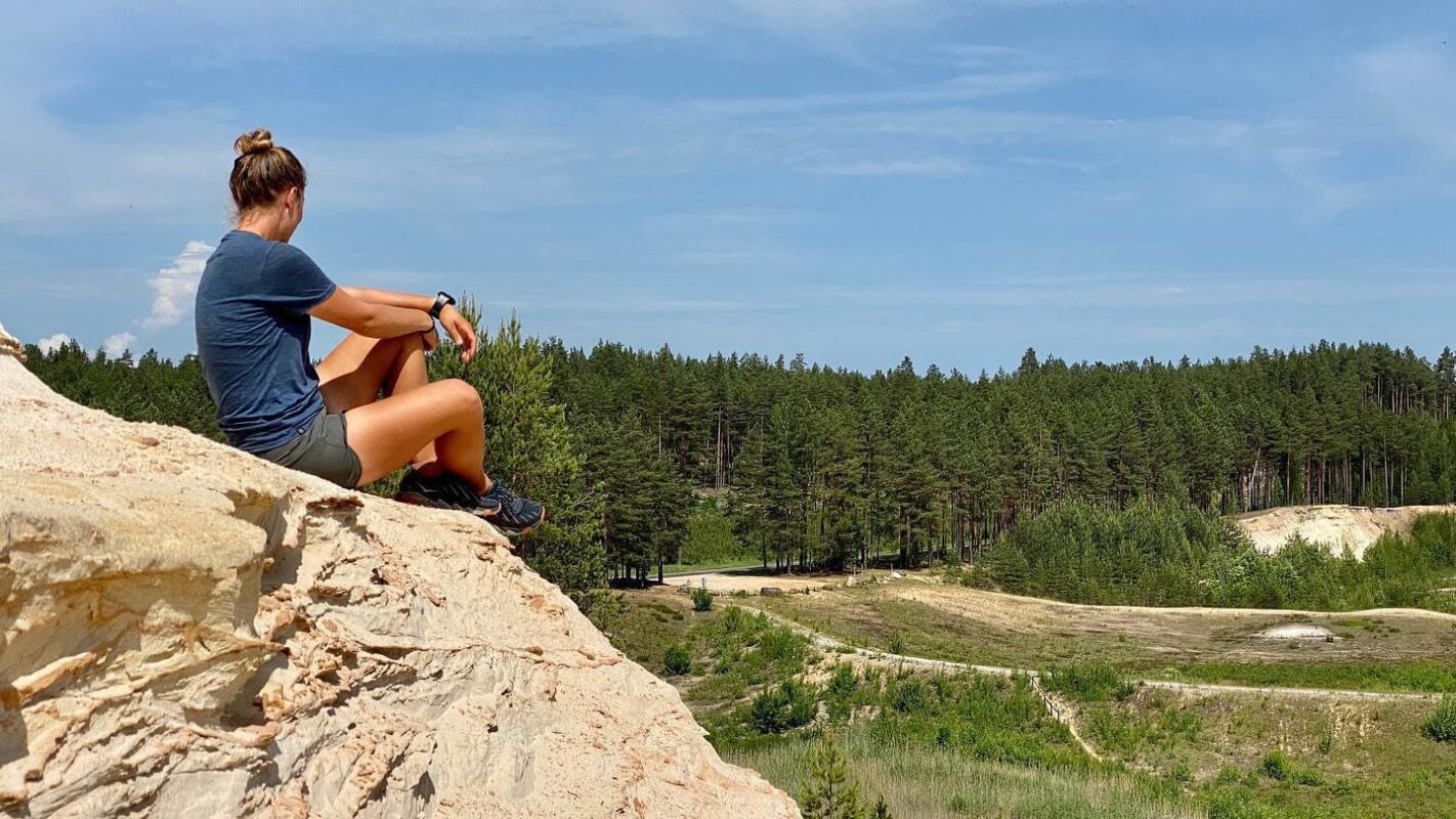
The RMK Peraküla-Ähijärve trail goes through a mix of landscapes. You’ll stroll along sandy beaches, through dense forests, and pass by lush grain fields. Then there are the breathtaking wetlands of Endla Bog and Emajõe-Suursoo Reserve, followed by the hilly pine forests of Põlva County. And don’t miss the top-notch landmarks in Võru County, making this hike a real gem!

Large chunks of this route follow gravel roads, so be prepared for some slightly duller but faster miles. The southern section, around Piusa, is the toughest – lots of dirt tracks on loose sand and hills, but they are also accompanied by beautiful hidden lakes where you can cool off on a hot day.

Stages

The RMK Peraküla-Ähijärve is divided into the following 11 stages.

Stage 1:

Peraküla – Vihterpalu, 27 km | 17 mi

Stage 2:

Vihterpalu – Ohtu, 46 km | 28.5 mi

Stage 3:

Ohtu – Alavere, 87 km | 54 mi

Stage 4:

Alavere – Aegviidu, 32 km | 20 mi

Stage 5:

Aegviidu – Oostriku, 107 km | 66.5 mi

Stage 6:

Oostriku – Elistvere, 76 km | 47 mi

Stage 7:

Elistvere – Kantsi, 80 km | 50 mi

Stage 8:

Kantsi – Kiidjärve, 44 km | 27 mi

Stage 9:

Kiidjärve – Piusa, 124 km | 77 mi

Stage 10:

Piusa – Pähni, 100 km | 62 mi

Stage 11:

Pähni – Ähijärve, 105 km | 65 mi

Accommodations

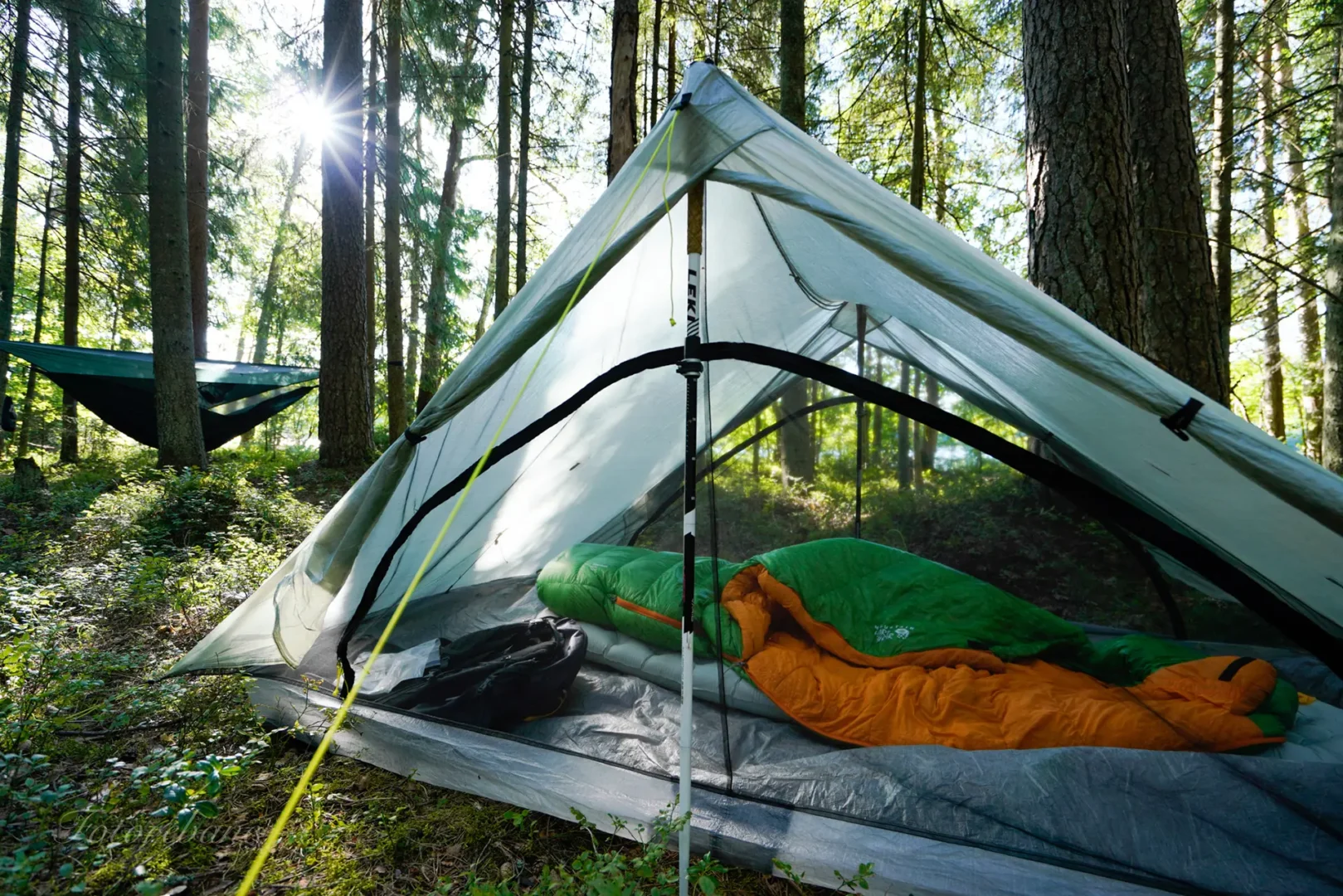
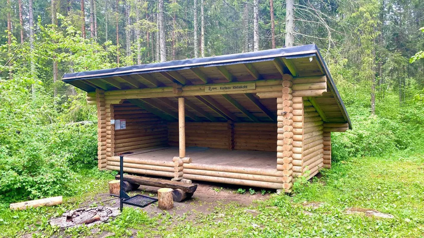
Wild camping in Estonia is legal and encouraged, but following the Leave No Trace rules is essential. This route boasts a multitude of public campsites, where the facilities often include a fireplace, firewood, covered tables and benches, a trash can, and a dry toilet. Along the RMK Peraküla-Ähijärve you will find many of these campsites which also have open shelters or attics, so it is also possible to do this hike without carrying a tent if you combine shelter campsites with regular accommodations.

Best time of the year

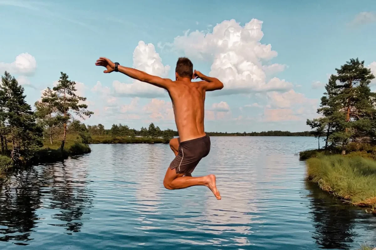
The best time of the year to hike the RMK Peraküla-Ähijärve hiking route is from early summer to early September. In early summer, the route is bug-free, but during the hottest time of the year the weather is pleasant and you can swim in the lakes and rivers along the route. Thanks to the facilities along the trail, it can also be tackled in the winter, using backcountry skis or snowshoes. The gravel roads along this route are kept passable all year round. During the summer months, it can get very hot (around 30 degrees Celsius) and the fire danger increases. During the winter the daylight hours are very short (4-6 hours) and it can get very cold (down to -25 degrees Celsius).

Always check local weather forecasts before starting your day – freezing rain in the winter and evening thunderstorms in the summer are normal.

Safety & Gear

Before you head out, do your research on the trail. This includes checking on factors like the trail’s difficulty, length, elevation gain, and terrain. Then, assess your physical and mental training in comparison! You can find more information here on HIKING-TRAILS.com, but also in guidebooks, by talking with hikers who have hiked this trail already, and by checking with local hiking organizations.

Share your hiking plans with someone you trust, including your start and finish dates, route, and any emergency contact information they need.

Check the weather each day before you start hiking. Avoid being in the backcountry during severe weather conditions, including thunderstorms, heavy rainfall, or extreme heat.

Bring enough water and snacks to keep your energy levels up and prevent dehydration and exhaustion. This usually means bringing at least two liters of water with you as a base amount.

Invest in the right hiking gear, including comfortable, supportive footwear, proper hiking clothing, such as warm base layers and a hardshell rain jacket, hiking poles, a well-fitted backpack, and essential equipment like maps, a GPS device, and a first-aid kit. Check out our comprehensive gear list for long-distance trails like this.

Respect the principles of Leave No Trace by minimizing your impact on the environment. Stick to designated trails, pack out all trash, and respect wildlife and natural habitats.

Good to know

Estonia is known for its forests and wildlife. You’ll likely meet moose or wild boar during this hike, however probably not many bears or wolves. Be respectful to the locals – both people and animals – by not leaving trash or food lying around. Be respectful to other hikers and visitors, who go to nature to be in silence: do not play loud music while walking or camping.

Water can be obtained from natural sources along the route. Always filter or boil; there are also many villages and visitor centers along the way where you may replenish.

Route
Point to point

Want to submit a trail or make this page more complete?

Comments

Be the first one to comment on this trail!

Reply to this trail

Your email address will not be published. Required fields are marked *

Reply to this trail

Log in to comment on this trail
Always read the disclaimer

Terms of Use: important to all visitors on this website. We strive to publish high quality content and information on this website. However it’s always possible that we’re missing out on some crucial information. In spite of the fact that this route, associated GPS track (GPX and maps) were prepared under diligent research by the specified contributor and/or contributors, the accuracy of such and judgement of the author is not guaranteed. Therefore, hiking-trails.com and contributors are in no way liable for personal injury, damage to personal property, or any other such situation that might happen to individuals hiking or following this route. Should you choose to hike this trail, this is always at your own risk. Check out our guidelines for safety hiking and Leave No Trace principles at the hiking 101 page.

Download GPX

Join the community!

Login or create a FREE account 😊

With an account you can:

Download GPX files

Pin trails to your wishlist

Mark trails as hiked by you

Rate hiking trails

Comment on trails, blogs and gear reviews

Happy trails!
Login

Don't have an account yet? Register here