About the RMK Kauksi-Penijõe

country
Estonia
length
613 km(381 mi)
Type of trail
Thru-hike
difficulty

Difficulty is highly personal. Be aware of the weather conditions as bad weather turns easier trails in difficult trails especially in the mountains.

Moderate
accommodation

Lodging means a mix of hotels, hostels or AirBnB’s.

Wild camping, Camping, Lodging, Shelters
Elevation gain
1866 m(6122 ft)
terrain
Forest, Coastal, Countryside, Flat
remoteness
Most of the time
Show more

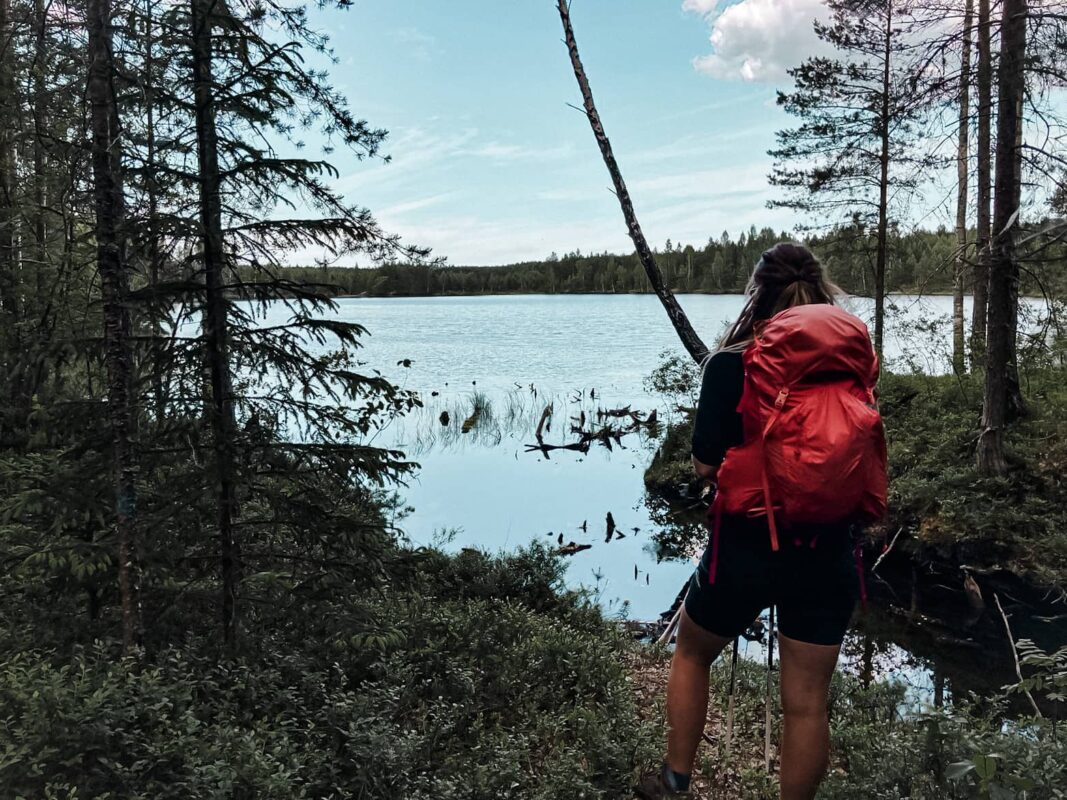
The RMK Kauksi-Penijõe thru-hike runs through six counties, starting in Matsalu National Park and going through the flood meadows of the Kasari River towards Rapla County. From here it goes between bogs, large forests, ancient forts, and fields towards Harju County and Paunküla hills. In Lääne-Viru County, the route runs along narrow and high eskers over the Neeruti hills, through abandoned military bases to the Tudu wetland area at the border of Ida-Viru County.

The Estonian National Heritage Trails showcase the country’s natural and cultural heritage. These trails provide a unique opportunity for visitors to connect with Estonia’s history and explore its diverse landscapes.

Stiina Kristal

Stiina Kristal

Stiina is an IML-qualified mountain leader and an experienced long-distance hiker. Together with her partner Kris, they love to explore trails all around the world, learning more about themselves with every adventure.

View profile

The Trail

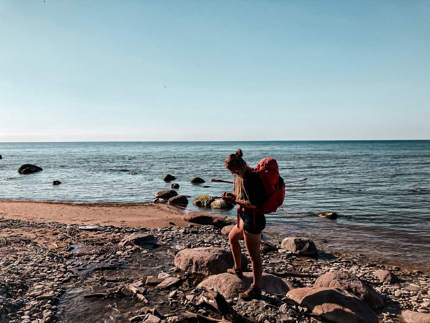
The path takes you through a mix of landscapes: from the factories and rocky hills around Kiviõli and Püssi, to the old Aidu quarry and the mining museum in Kohtla-Nõmme. Up north, you’ll walk along the rugged coast, passing under tall cliffs and taking in views from Ontika, Estonia’s highest coastal spot, and Valaste, home to its tallest waterfall. The trail then heads south, cutting through old battlegrounds and forgotten mining towns. You’ll go past the Kurtna lakes and the forests of Agusalu and Alutaguse, before wrapping up at Kauksi by Lake Peipus.

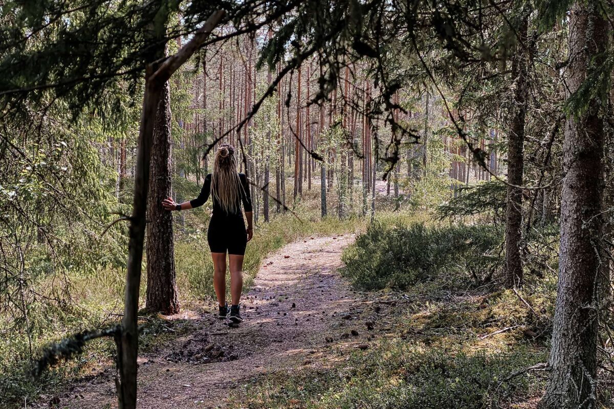
The whole route is dotted with official, government-maintained free campgrounds, shelters, and fireplaces. The route is well-marked (white-yellow-white signs) and easy to navigate using the official RMK Loodusega Koos app.

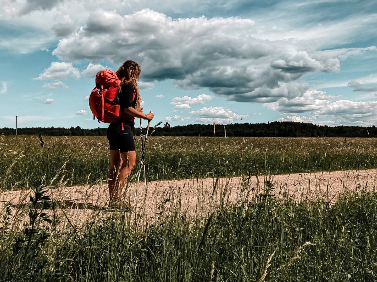
Large chunks of this route follow gravel roads, so be prepared for some slightly duller but faster kilometers. The coastal section in Ida-Virumaa is the toughest – the beaches are rocky and you will need to climb over fallen trees and rubble. In winter time this section can be icy and dangerous.

Stages

The RMK Kauksi-Penijõe is divided into the following sections:


  • RMK Penijõe-Aegviidu-Kauksi hiking route/Penijõe-Varbola, 84 km | 52 mi
  • RMK Penijõe-Aegviidu-Kauksi hiking route/Varbola-Aegviidu, 132 km | 82 mi
  • RMK Penijõe-Aegviidu-Kauksi hiking route/Aegviidu-Roela, 106 km | 66 mi
  • RMK Penijõe-Aegviidu-Kauksi hiking route/Roela-Mummassaare, 158 km | 98 mi
  • RMK Penijõe-Aegviidu-Kauksi hiking route/Mummassaare-Kauksi, 133 km | 83 mi

Accommodations

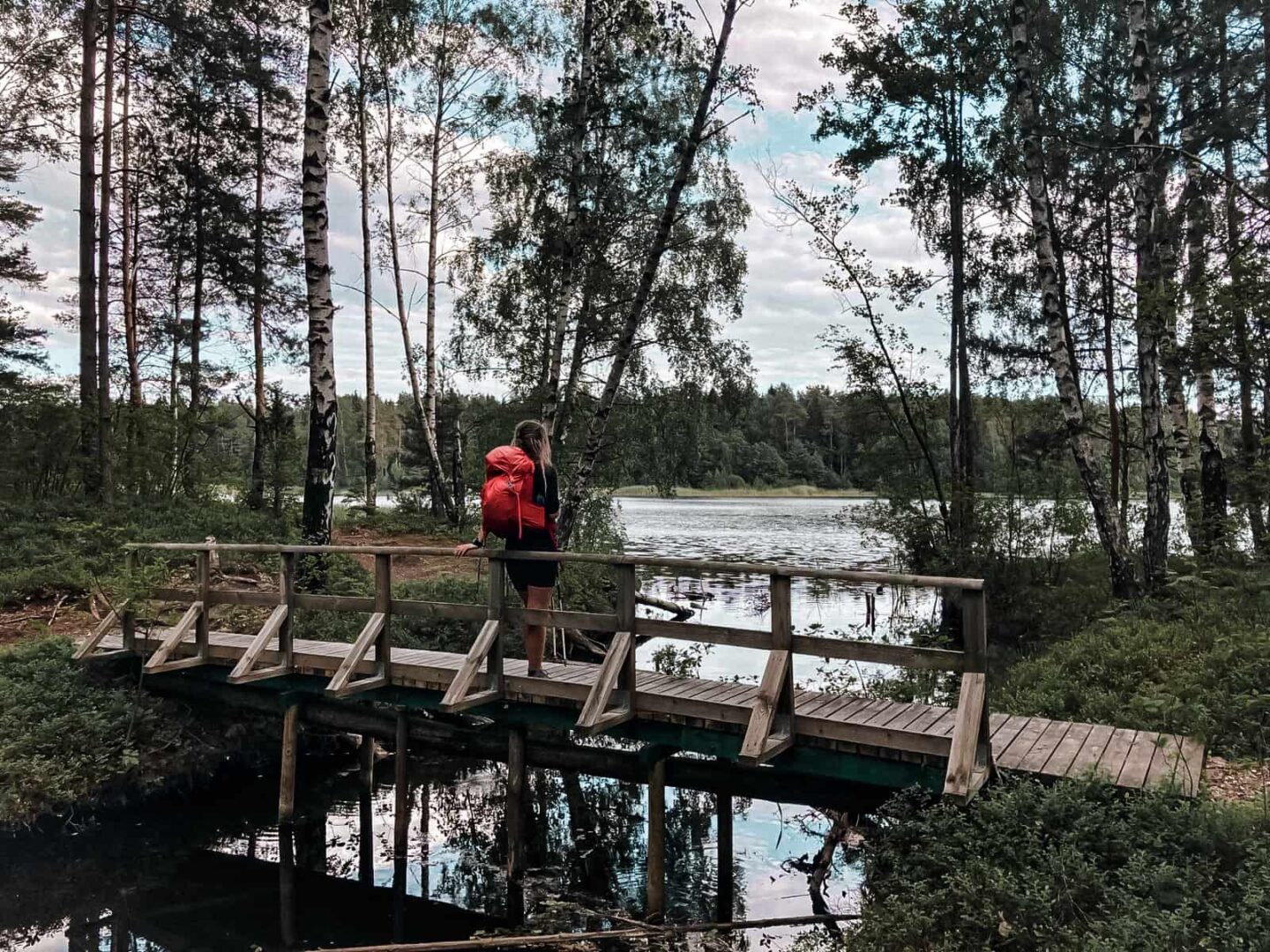
Wild camping in Estonia is legal and encouraged, but following the Leave No Trace rules is essential. This route has many public campsites, where the facilities often include a fireplace, firewood, covered tables and benches, a trash can, and a dry toilet. On the RMK Kauksi-Penijõe, you will find many of these campsites with most of them having open shelters or attics, so it is also possible to do this hike without carrying a tent if you combine shelter campsites with regular accommodations.

Best time of the year

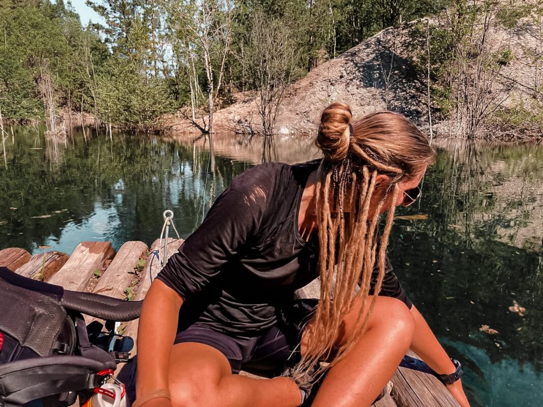
The best time of the year to hike the RMK Kauksi-Penijõe hiking route is from early summer to early September. In early summer the route is bug-free, but during the hottest time of the year the weather is pleasant and you can swim in the lakes and rivers along the route. Thanks to the facilities along the trail, it can also be tackled in the winter, using backcountry skis or snowshoes. The gravel roads along this route are kept passable all year round. During the summer months, it can get very hot (around 30 degrees Celsius) and the fire danger increases. During the winter the daylight hours are very short (4-6 hours) and it can get very cold (down to -25 degrees Celsius).

Always check local weather forecasts before starting your day, freezing rain in the winter and evening thunderstorms in the summer are normal.

Safety & Gear

Dress appropriately for the season’s conditions, wearing lightweight, breathable clothing, and sturdy hiking shoes to navigate the terrain comfortably. Before hitting the trail, familiarize yourself with the route using a map or GPS device, as some sections may be less well-marked than others. Let someone know your hiking plans, including your route and expected finish date, for added safety.

Consider hiking with a companion or a group, especially if you’re unfamiliar with the area. Stay hydrated by bringing plenty of water and replenishing electrolytes, particularly on hot summer days.

Respect the natural environment and wildlife encountered along the trail, as well as follow the Leave No Trace principles.

Good to know

Estonia is known for its massive forests and wildlife. It is not uncommon to meet moose or wild boar during this hike, less so with bears and wolves. Be respectful to the locals – both people and animals – by not leaving trash or food lying around. Be respectful to other hikers and visitors, who go to nature to be in silence: do not play loud music while walking or camping.

Water can be obtained from natural sources along the route. Always filter or boil; there are also many villages and visitor centers along the way where you may replenish.

Route
Point to point

Want to submit a trail or make this page more complete?

Comments

Be the first one to comment on this trail!

Reply to this trail

Your email address will not be published. Required fields are marked *

Reply to this trail

Log in to comment on this trail
Always read the disclaimer

Terms of Use: important to all visitors on this website. We strive to publish high quality content and information on this website. However it’s always possible that we’re missing out on some crucial information. In spite of the fact that this route, associated GPS track (GPX and maps) were prepared under diligent research by the specified contributor and/or contributors, the accuracy of such and judgement of the author is not guaranteed. Therefore, hiking-trails.com and contributors are in no way liable for personal injury, damage to personal property, or any other such situation that might happen to individuals hiking or following this route. Should you choose to hike this trail, this is always at your own risk. Check out our guidelines for safety hiking and Leave No Trace principles at the hiking 101 page.

Download GPX

Join the community!

Login or create a FREE account 😊

With an account you can:

Download GPX files

Pin trails to your wishlist

Mark trails as hiked by you

Rate hiking trails

Comment on trails, blogs and gear reviews

Happy trails!
Login

Don't have an account yet? Register here