Book release!Pre-order: Hiking Trails (in English!)

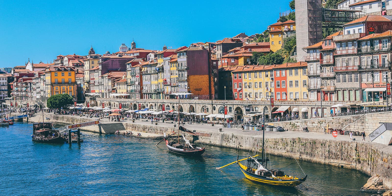
The Portuguese Coastal Way is one of the Caminos to Santiago de Compostela, also known as the Portuguese Way. This route joins the Central Portuguese Route in Redondela and was officially recognized in 2016. Since then it has seen significant growth in the number of pilgrims, catching up with and even surpassing for some months the deeply consolidated routes such as the Northern Route and the Primitivo Route.
While it’s not as established as the Central Portuguese Route, the Portuguese Coastal Way has still managed to unify several trails used by pilgrims since the 16th century by connecting some coastal settlements. Portugal has made sure that the trail is very well signposted. The project is the fruit that was born out of an inter-municipal project undertaken by the 10 municipalities that the route crosses, beginning in Porto. In Galicia, the 7 “concelhos”(municipalities) in the route are marked with the traditional Jacobean yellow arrow signage indicating the distance to Compostela.